E
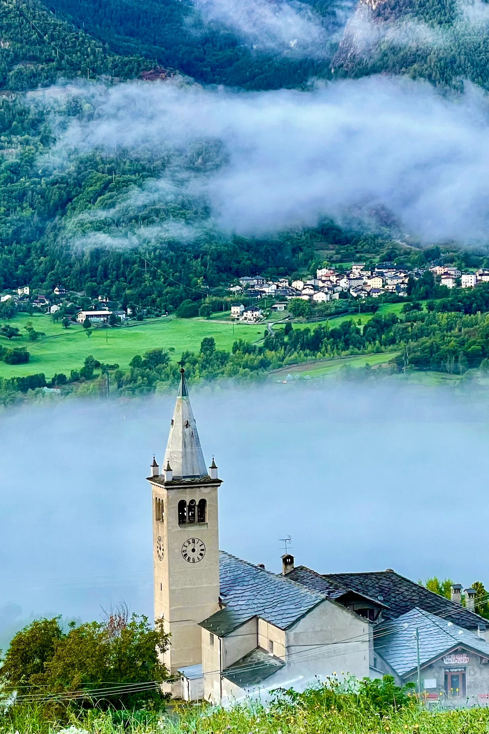
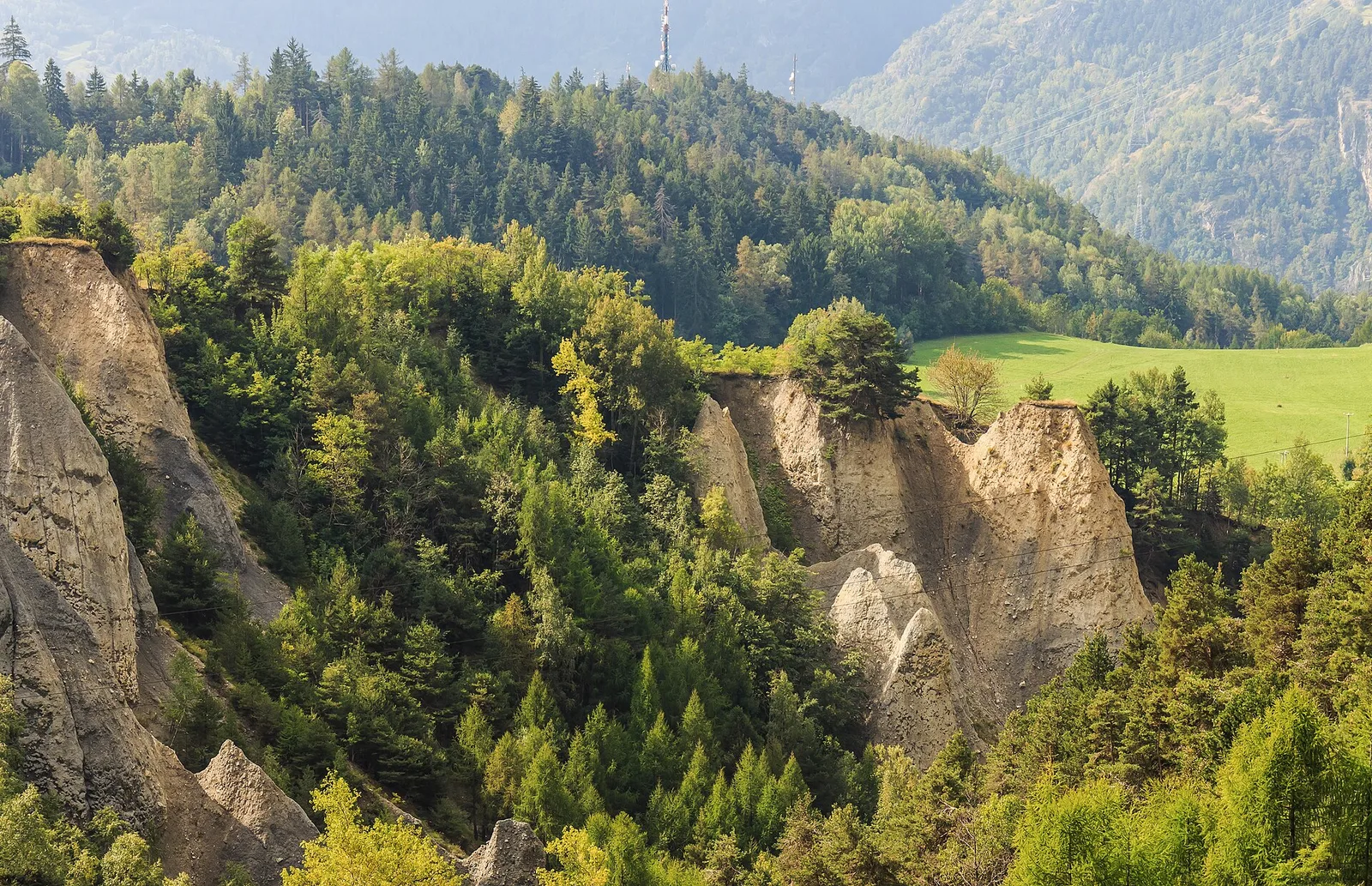
Bassa Valle
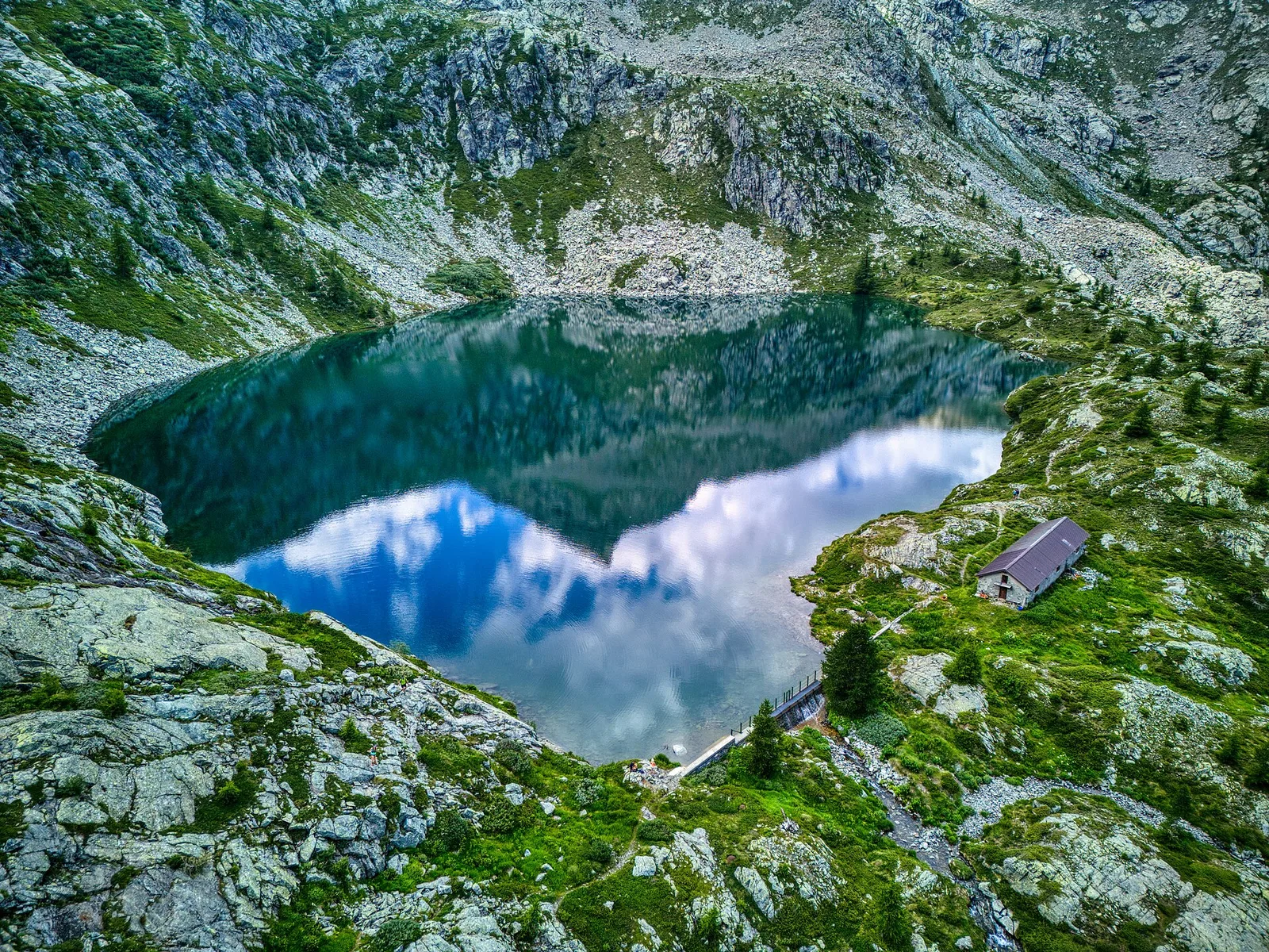
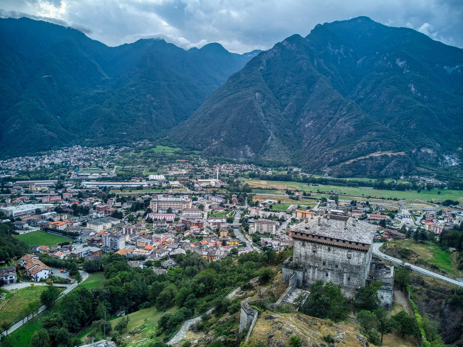
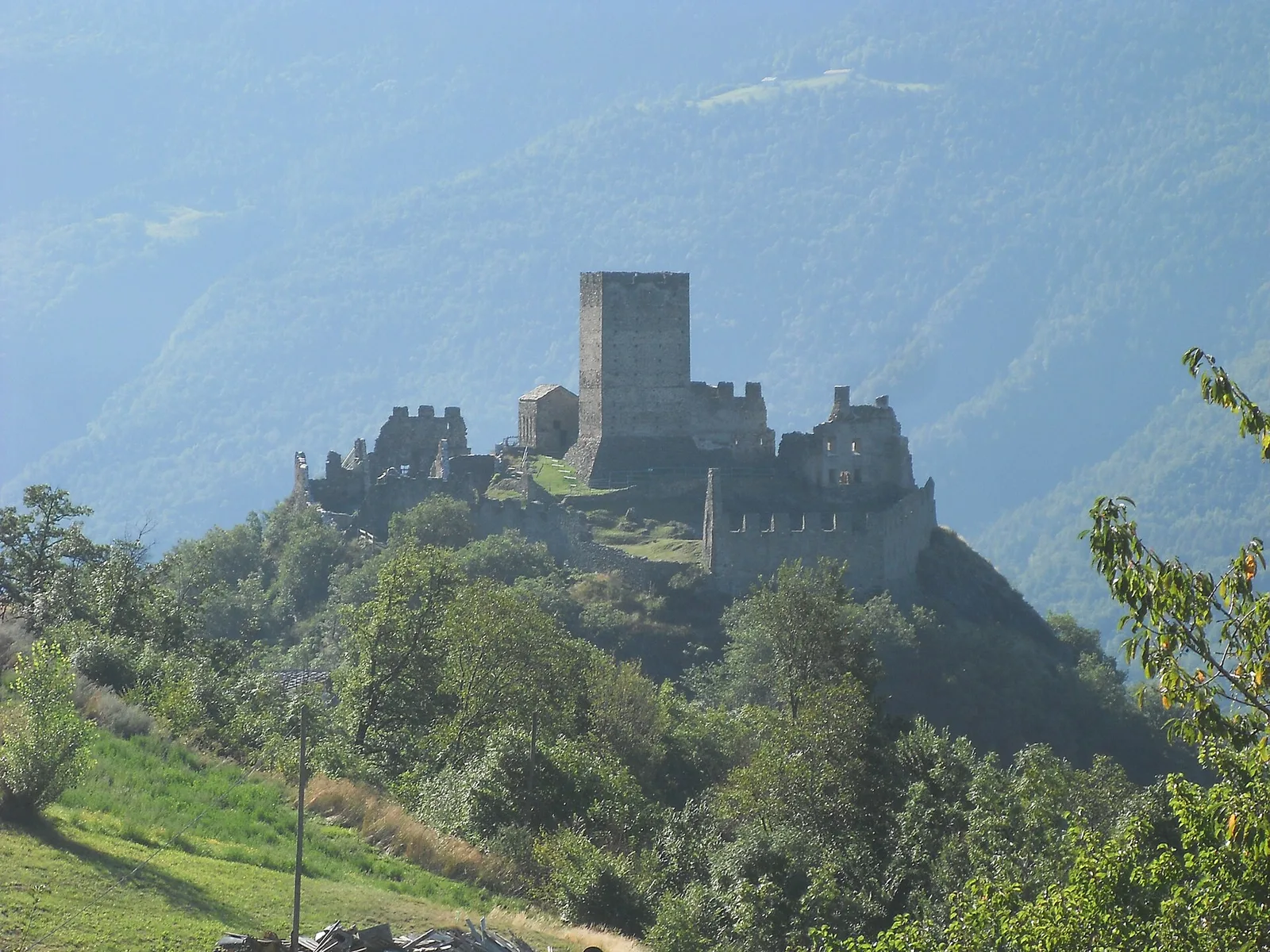
Biel - La Serra di Biel - Le Grand Chateau
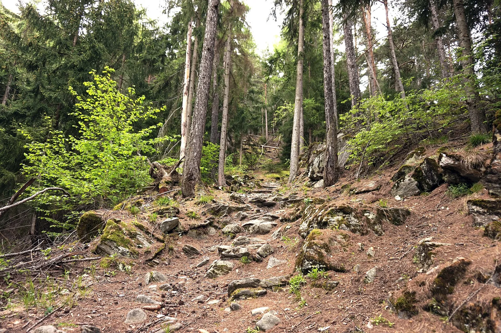
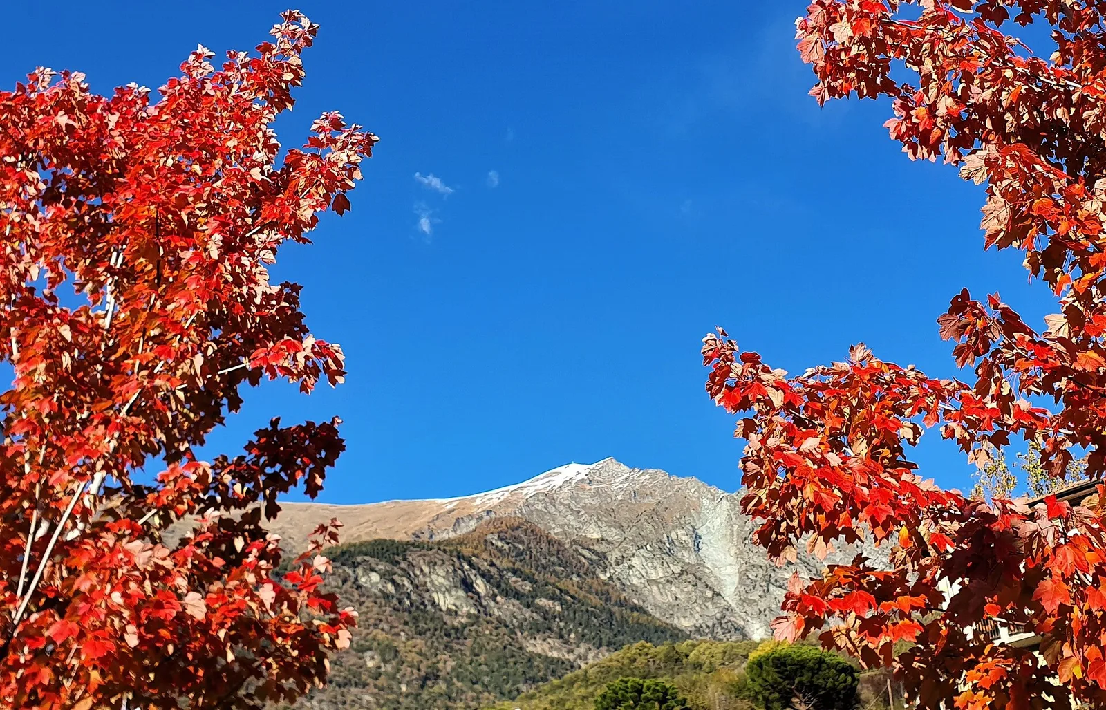
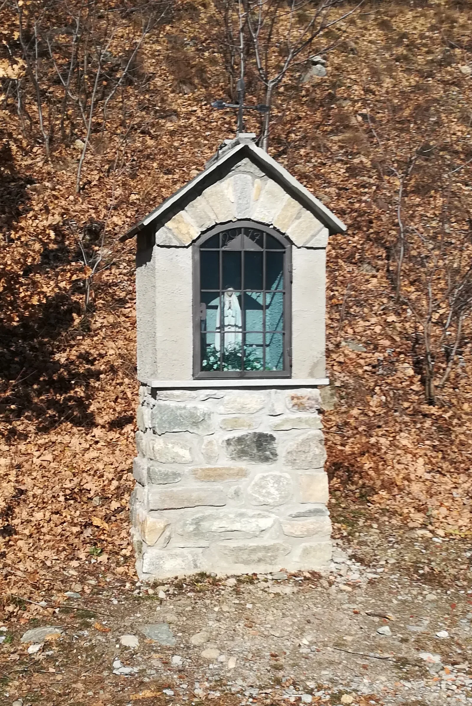
3.9 km · +549 m · E — from Biel to Serra di Biel (Valsavarenche).
3.9 km+549 m2.5 h
Where to spot
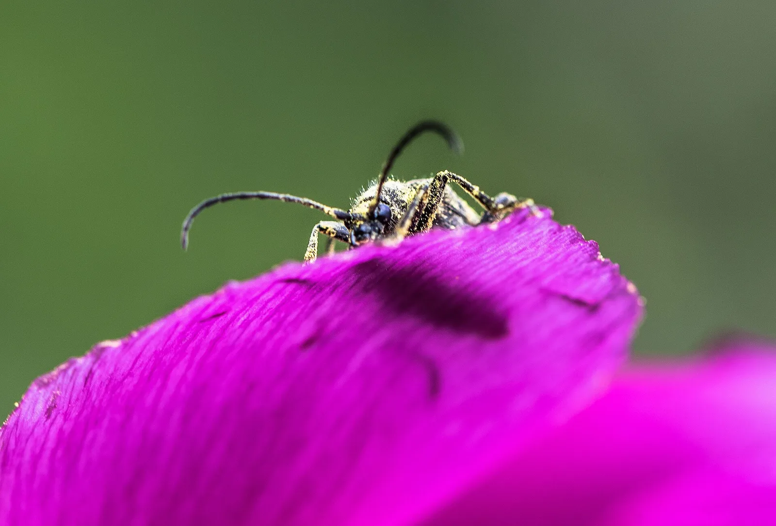
44 trails where Eurasian sparrowhawk is listed in flora/fauna: difficulty T–EE, elevation gain 0–1236 m.
44 · 0.6–12.1 km · +0–1236 m
Bassa Valle
3.9 km · +549 m · E — from Biel to Serra di Biel (Valsavarenche).
Val d'Ayas
6.6 km · +0 m · EE — from Capiron to Gettaz (Central Valley).
Valle di Champorcher
3.8 km · +903 m · E — from Castagnot to Colle d'Arcomy (Central Valley).
Valle centrale
Steep climb from Champsolin (762 m) to Ozein (1,371 m) in the Cogne Valley: 3.2 km with 596 m of ascent.
Valle di Champorcher
4.4 km · +507 m · E — from Chardonney to Champlong (Valtournenche).
Valle centrale
1.9 km · +387 m · E — from Chateau de Quart to Beato Emerico (Rhêmes Valley).
Valle centrale
6.8 km · +0 m · E — from Cloutraz to Bellecombe (Valdigne).
Val di Cogne
1.4 km · +246 m · E — from Cogne, capoluogo to Gimillan (Lys Valley).
Valle centrale
2.7 km · +441 m · E — from Crétaz to Capoluogo (Valsavarenche).
Valle centrale
4.8 km · +623 m · E — from Echarlod to Morges (La Thuile).
Valle del Gran San Bernardo
2 km · +288 m · E — from Etroubles to Prailles (Central Valley).

Valle centrale
1.4 km · +164 m · E — from Feilley to Moron (Valtournenche).
Bassa Valle
4.5 km · +938 m · E — from Fey to Croix Corma (Central Valley).
Valle centrale
1.5 km · +313 m · E — from Fossaz to Fournaise (Central Valley).
Valle centrale
0.6 km · +46 m · E — from Gerbore to Vetan (Central Valley).
Val d'Ayas
4.4 km · +110 m · T — from Col di Joux to Col Tzecore (Valtournenche).
Valle centrale
1.5 km · +245 m · E — from La Ravoire to Lolair (Valgrisenche).
Valle centrale
5.8 km · +1201 m · E — from Pont Suaz to Ermitage de Saint-Grat (Cogne Valley).
Valle centrale
4 km · +593 m · E — from Combes to Plan Bry (confine comunale Valgrisenche) (Lys Valley).
Valtournenche
1.3 km · +8 m · E — from Lies to Strada (Valtournenche).
Valle centrale
2.9 km · +0 m · E — from Lignan to Arlod (Valpelline).
Val d'Ayas
1.6 km · +294 m · E — from Lignod to Incrocio Ru (Central Valley).
Val d'Ayas
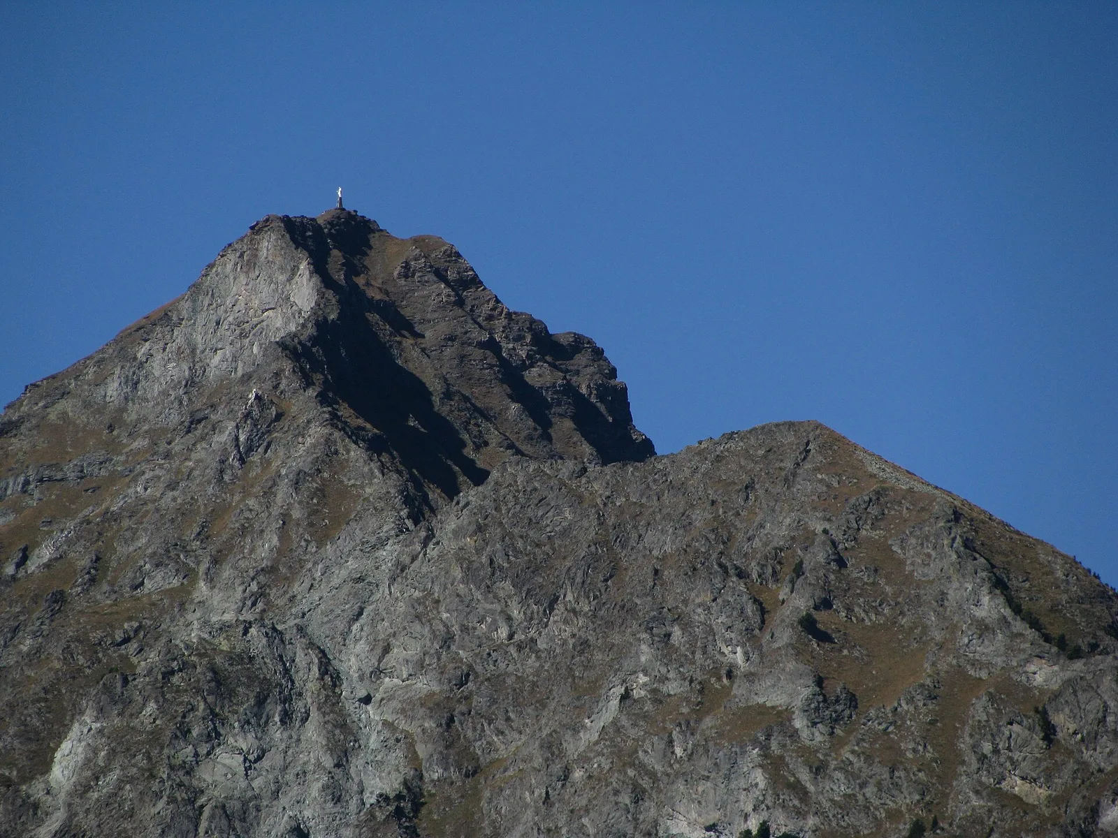
In the Val d'Ayas, commune of Ayas: a steady E-rated climb toward a high-altitude objective on well-marked terrain.
Valle centrale
2.2 km · +263 m · E — from Liveroulaz to Chaillod (Central Valley).
Valle centrale
3.2 km · +339 m · E — from Marchaucy to Ponteille (Lys Valley).
Bassa Valle
3.9 km · +1035 m · E — from Monteil to Montat (Valtournenche).
Bassa Valle
3.1 km · +639 m · E — from Outrefer to Pourcil (Valtournenche).
Valtournenche
2.3 km · +178 m · E — from Pâquier to Lago Loz (Central Valley).
Valle del Gran San Bernardo
4.3 km · +562 m · E — from Petit-Buthier to Alpe Ars (Central Valley).
Bassa Valle
4.7 km · +579 m · T — from Piazza E.Chanoux to Carogne (Valtournenche).
Val d'Ayas
2.3 km · +307 m · E — from Capoluogo to Salomon (Ayas Valley).
Valgrisenche
4.7 km · +488 m · E — from Planaval to Miollet (Valtournenche).
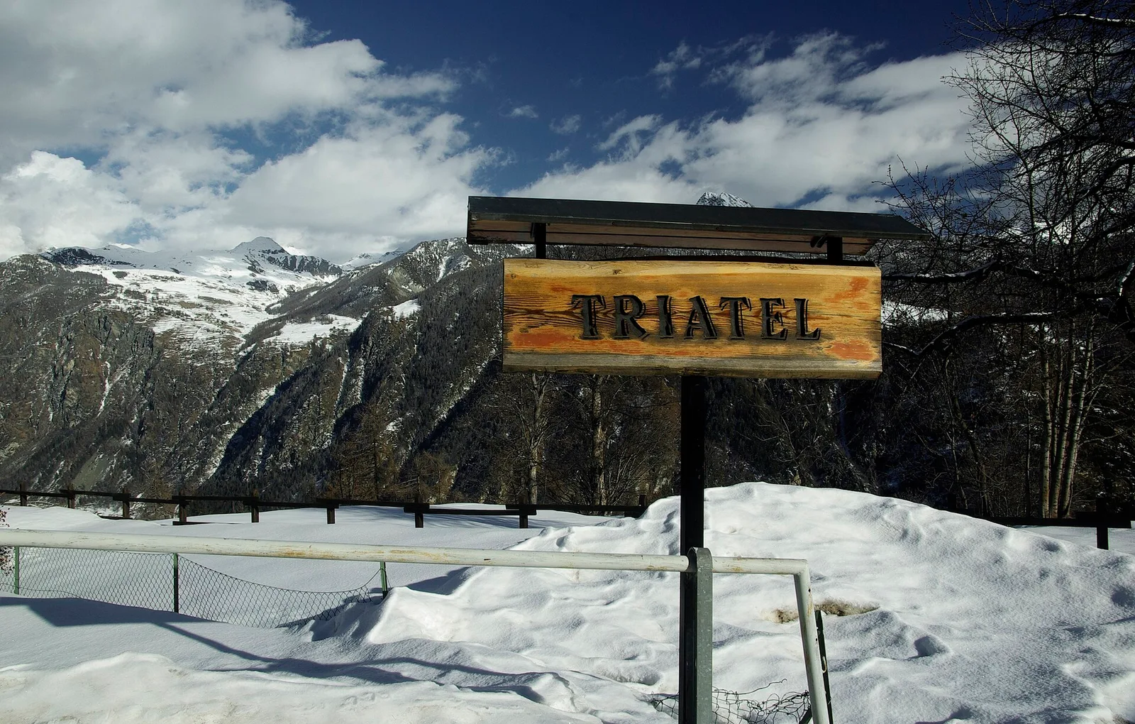
Valtournenche
2.7 km · +556 m · E — from Confine comunale Antey -Torgnon to Triatel (Valpelline).
Valle centrale
3.1 km · +442 m · E — from Saint-Denis to Del (Central Valley).
Valle centrale
2.1 km · +740 m · EE — from Servettaz to Druges (Lys Valley).
Val d'Ayas
2.3 km · +283 m · E — from Sizan to Sant'Anna (Ayas Valley).
Val d'Ayas
2 km · +370 m · E — from Strada Regionale to Arbaz (Ayas Valley).
Valle centrale
2.2 km · +274 m · E — from Strada regionale per Arpy to Arpy (Central Valley).
Valpelline
12.1 km · +1236 m · E — from Les Sergnoux to Rey (Lys Valley).
Valpelline
4.5 km · +390 m · E — from Rey to Chatellair-Dessus (Valpelline).
Valle centrale
In the commune of La Salle, Valdigne: an accessible route through mixed forest and pastures with views of Mont Blanc.
Valle centrale
3.9 km · +713 m · E — from Veynes to Valtolanaz (Central Valley).
Valle centrale
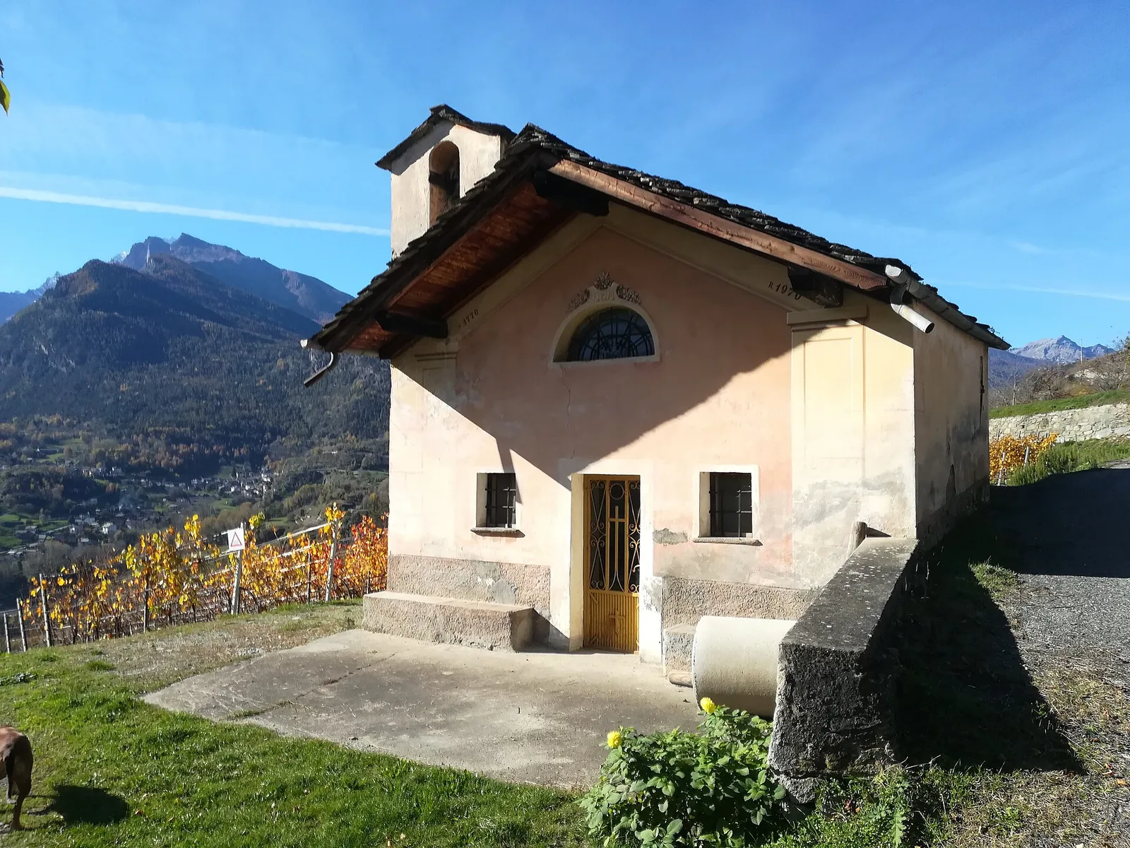
In the lower Val d'Ayas, Challand-Saint-Victor: a moderate climb through vineyards, meadows and forest toward upper hamlets.
Valle centrale
2.8 km · +398 m · E — from Villair to Trou des Romains (Great St Bernard Valley).