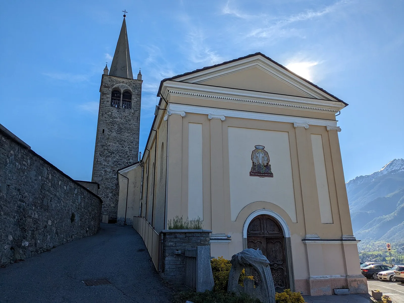
TAPPA 3: Castello di Quart - Chiesa di Diemoz
11.9 km
+0 m
−221 m
3.5 h
Fitness level
Elevation profile
Map & route
Download GPXGPX track — verify on the ground before hiking
Description
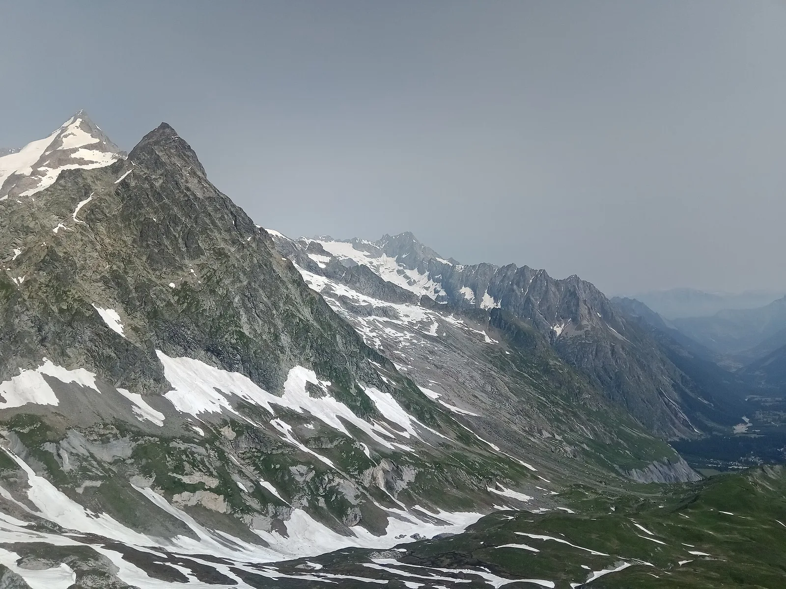
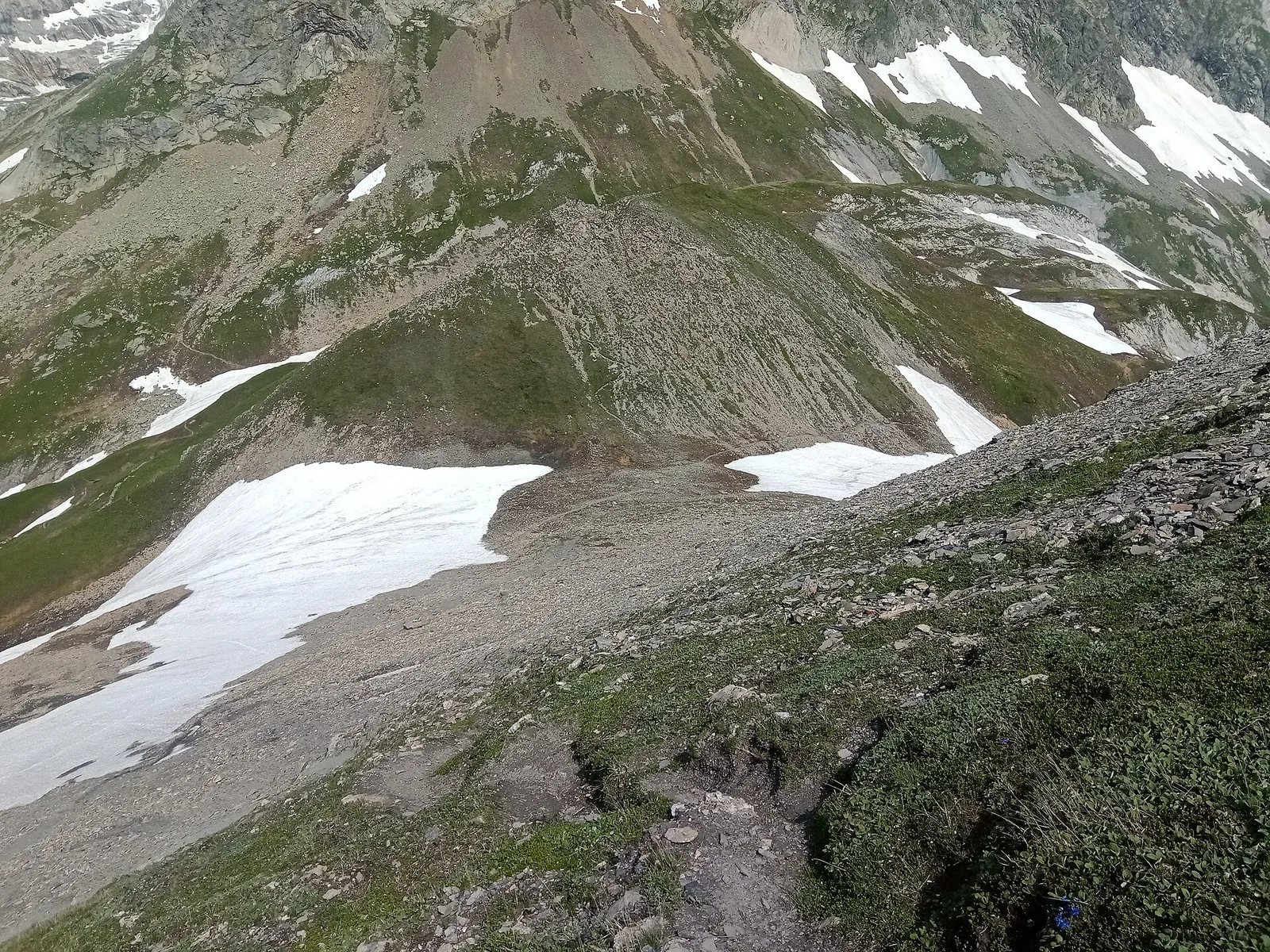
TAPPA 3: Castello di Quart - Chiesa di Diemoz is an official trail from the Aosta Valley trail registry (code PCV_S3). The route lies in the municipality of Rhêmes-Saint-Georges, in the Rhêmes Valley. From Castello di Quart (752 m) to Chiesa di Diemoz (573 m): 11.9 km with +0 m and −221 m of elevation change, difficulty E (CAI scale). Minimum elevation 573 m, maximum 752 m. GPX track and elevation data from Regione Autonoma Valle d'Aosta (open data DGR 899/2014).
Start & end
Start
Castello di Quart
752 m
Finish
Chiesa di Diemoz
573 m
ACurated and verified by Andrea
Data source: Catasto Sentieri Regione Autonoma VdA · Open data — DGR 899/2014
Last verified:
Val di Rhêmes
Related trails
Same valley or similar routes — more hikes to explore.

Val di Rhêmes
Anello del Verrand
2.6 km · +233 m · E — from Château Verrand to Château Verrand (Rhêmes Valley).
Val di Rhêmes
Balme - Col d'Arp
8.2 km · +1265 m · E — from Balme to Col d'Arp (Rhêmes Valley).
Val di Rhêmes
Balme - Col du Berrio Blanc
11 km · +1555 m · E — from Balme to Col du Berrio Blanc (Rhêmes Valley).
Val di Rhêmes
Balme - Lac de la Platé
8.1 km · +1140 m · E — from Balme to Lac de la Platé (Rhêmes Valley).