Refuge · 2552 m
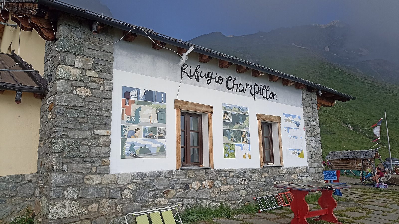
Rifugio Champillon
Welcoming hut in Conca di By with yurt and sauna. Views over Valpelline Alps and AV1 stage among still-active alpine pastures.
Just below the Col Champillon, on the Tour des Combins route, the hut overlooks the By basin and the trench of the Valpelline: the terrace looks straight at the Grand Combin. It is also a popular day-trip from Ollomont and a fine spot for alpine birdlife at dusk, when the valley empties.
Altitude
2552 m
Valley
Valpelline
Beds
50
Opening
Mid-June – late September
Managed by
Privately managed
History
The hut is named after Adolphe Letey, a guide and figure of the Ollomont community, and was created by restoring the Champillon alps: a recent story grafted onto centuries of alpine farming in the By basin, where the copper of the Ollomont mines was once worked too.
What to eat
Creative mountain cuisine, local cheeses and craft beers.
Indicative rates
Half-board roughly €50–70; book online.
Contact & booking
Official manager details — always check opening dates and rates on the website before you go.
Where it is
45.8499, 7.2692 · 2552 m
How to get there
- High Route 1 — Stage 13: Ollomont → Rifugio Champillon9.5 km · +1070 mE
- High Route 1 — Stage 14: Rifugio Champillon → Saint-Rhémy-en-Bosses14.0 km · +522 mE
- Tour des Combins — Stage 1: Ollomont → Saint-Rhémy-en-Bosses18.6 km · +1635 mEE
- TAPPA 13: Rey - Rifugio Champillon5.0 km · +1041 mE
- TAPPA 14: Rifugio Champillon - Saint-Rhémy14.3 km · +0 mE
Recommended season
Mid-June – late September
Effort to reach it
Difficulty of the access trails: E–EE, +522–1635 m (CAI scale).
What to bring
A sleeping-bag liner (required in many huts), cash (cards are often not accepted at altitude), a change of clothes and warm layers for the evening, a headlamp, a water bottle. Always book your bed and meals in advance, and let the hut know if you cancel.
What to do there
Enjoy dinner in good company and the sunset from the terrace. Many use the hut as a base for a dawn departure: ask the keeper about trail and weather conditions before setting out, and start light while the snow is still firm. The climbing routes are on the trail pages above.
Nearby peaks
Community gallery
Photos are published immediately. JPG/PNG/WebP, max 6 MB.
Source: rifugiochampillon.it · lovevda.it
Rifugio Champillon