Valpelline — Valle del Gran San Bernardo
Tour des Combins — Stage 1: Ollomont → Saint-Rhémy-en-Bosses
Advertencias
- Snowfields possible on the passes until early July
- Book overnight stops in peak season
 1 / 2
1 / 218.6 km
+1635 m
−1585 m
11.5 h
Nivel físico
Mapa y ruta
Traza GPX — verifica sobre el terreno antes de caminar
Descripción
Puntos clave
Salida
Ollomont · 1370 m
Llegada
Saint-Rhémy-en-Bosses · 1528 m
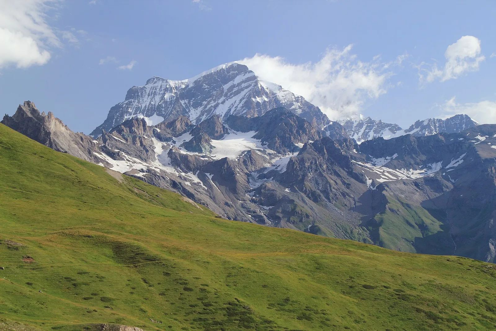
From Ollomont climb to the luminous By basin, a pastoral amphitheatre below the Grand Combin, and cross the Col Champillon (2,709 m) beside the Letey-Champillon hut. A long descent through pastures and woods reaches Saint-Rhémy-en-Bosses (1,632 m), home of the Jambon de Bosses ham.
The opening climbs to the By basin, a pasture amphitheatre at two thousand metres where copper was once mined: the Grand Combin commands the scene with its hanging glaciers. The trail traverses the high alps to the Col Champillon, beside which the Letey refuge offers the day’s only stop. From the pass the view embraces the Great St Bernard valley and, far off, Mont Blanc. A long descent through pastures and conifer woods leads to Saint-Rhémy-en-Bosses, a medieval village on the Via Francigena and home of Jambon de Bosses DOP, cured at precisely this altitude.
Puntos clave
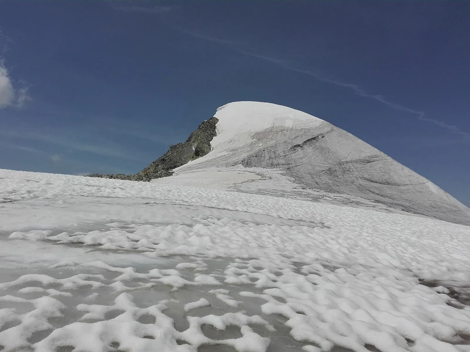
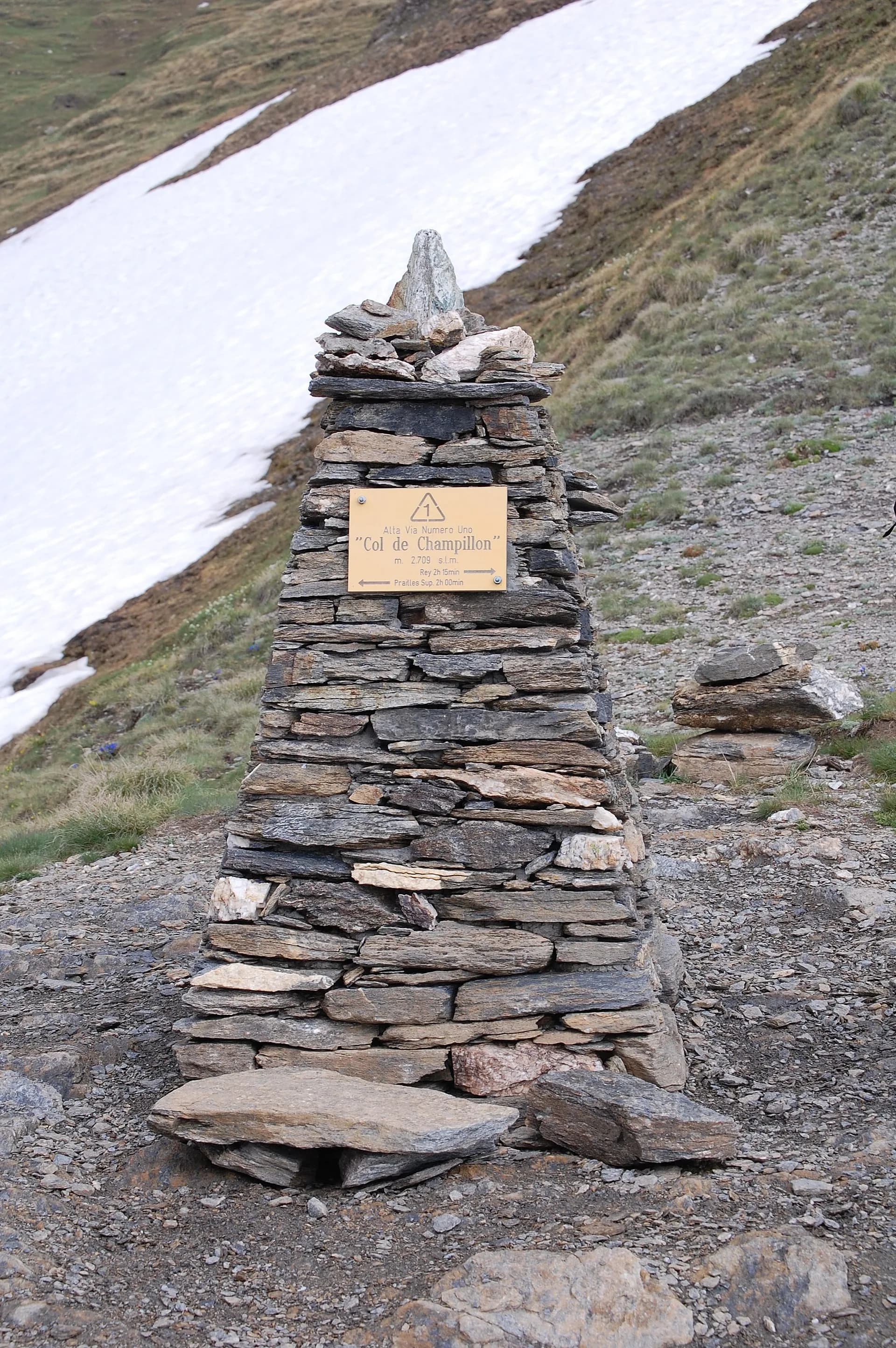
Col Champillon
2709 m · 6.8 km from start
Ciencias de la Tierra
Geología y paisaje
The Grand Combin belongs to the Grand St Bernard nappe (middle Penninic): crystalline schists and gneisses of the Siviez-Mischabel zone, overlain to the south by the calcschists-with-ophiolites of the By valley. The great north wall above the Panossière hut shows the alternation of basement and carbonate cover; the Fenêtre de Durand is carved in the softer calcschists, ever the natural way between Bagnes and Valpelline.
Historia y cultura
From the Ollomont copper mines, worked from the 17th century to 1945, ore descended by cableway; the By basin was a model alp of the Great St Bernard canons.
Fuentes de agua
Water at the stage's support points (Ollomont, Rifugio Champillon, Saint-Rhémy-en-Bosses). On the high ground and at the passes springs are not guaranteed: fill bottles in the valley and at the huts.
Cómo llegar
Aosta Valley side served by VITA buses and connections from Aosta; many valley heads have summer shuttles. Check seasonal timetables at arriva.it / vita-vda.com.
Aparcamiento
Refugios y vivacs
Galería de fotos
Photos are published immediately. JPG/PNG/WebP, max 6 MB.
Etapas contiguas
AEditado y verificado por Andrea Rama
Fuente de datos: Tour des Combins — itinerario ufficiale transfrontaliero · Traccia calcolata su rete sentieri OpenStreetMap (ODbL); verificare sul terreno
Última verificación:
Valpelline — Valle del Gran San Bernardo
Senderos relacionados
Mismo valle o rutas similares — más excursiones por descubrir.
Valpelline — Val d’Hérens
Tour of the Matterhorn — Stage 2: Rifugio Prarayer → Arolla
The Col Collon: an alpine transfer over the glacier, as in the Middle Ages.
Valpelline
High Route 1 — Stage 11: Rifugio Oratorio di Cuney → Oyace
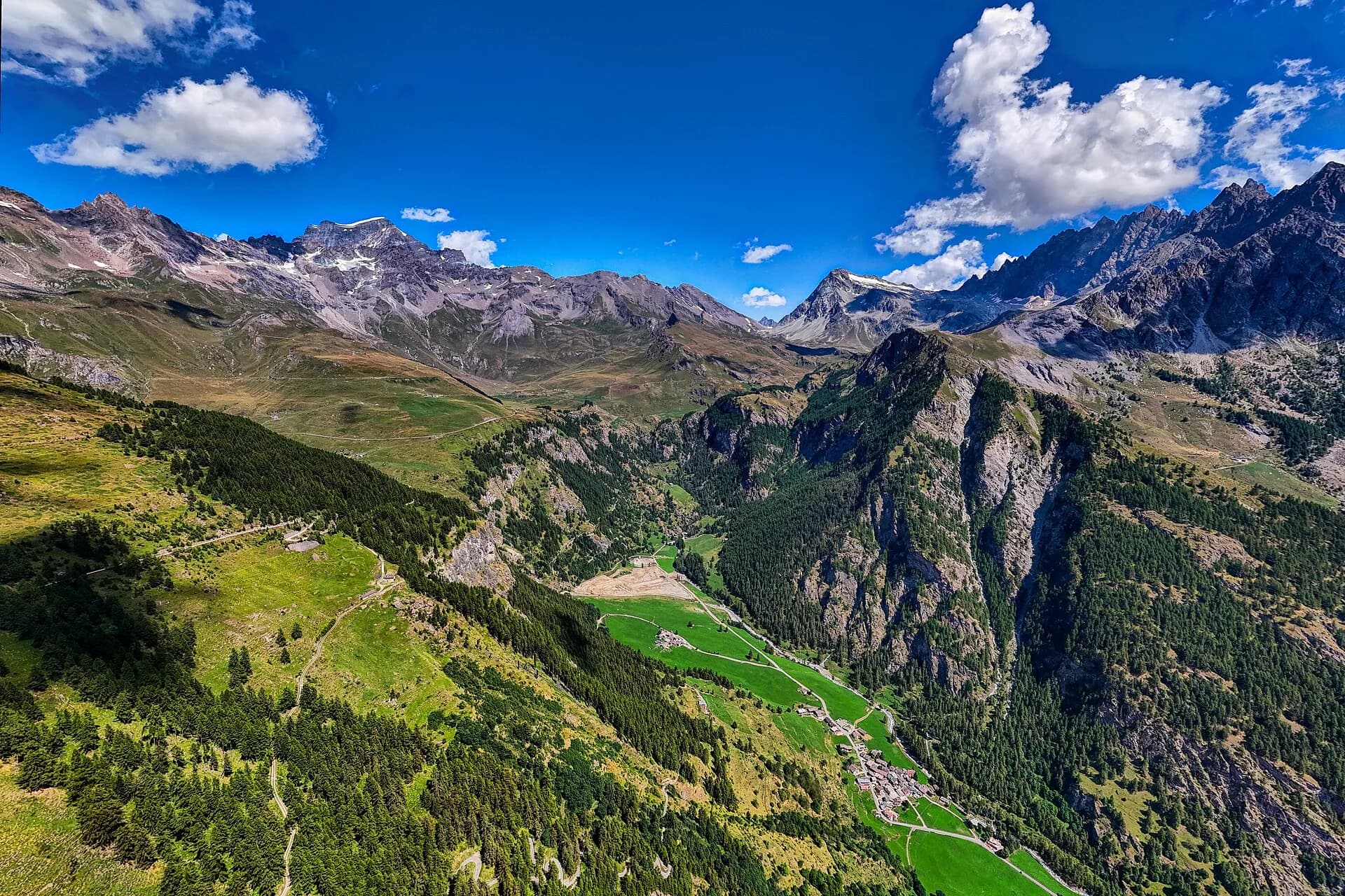
From the Sanctuary of Cuney to the Valpelline: a long descent over exposed ridges with short scramble sections, ending at Oyace in the heart of the Aosta Valley's most untouched valley.
Valpelline
High Route 1 — Stage 12: Oyace → Ollomont via Col Brison
The wild Valpelline: Oyace and Ollomont sit at nearly the same elevation, but Col Brison at 2520 m demands over 1100 m of climbing with views to Mont Vélan and Grand Combin on the Swiss border.
Valpelline — Conca di By
High Route 1 — Stage 13: Ollomont → Rifugio Champillon
From Ollomont to Rifugio Champillon in the Conca di By: 1000 m of climbing through forests and summer farms to one of the AV1's most distinctive huts, complete with mountain sauna and yurt.