Tour of the Matterhorn — Stage 2: Rifugio Prarayer → Arolla
Advertencias
- Glacier crossing: only with a mountain guide and equipment, or use the lifts
 1 / 2
1 / 216.8 km
+1084 m
−1139 m
8.5 h
Nivel físico
Mapa y ruta
Traza GPX — verifica sobre el terreno antes de caminar
Descripción
Puntos clave
Salida
Rifugio Prarayer · 2005 m
Llegada
Arolla · 2006 m
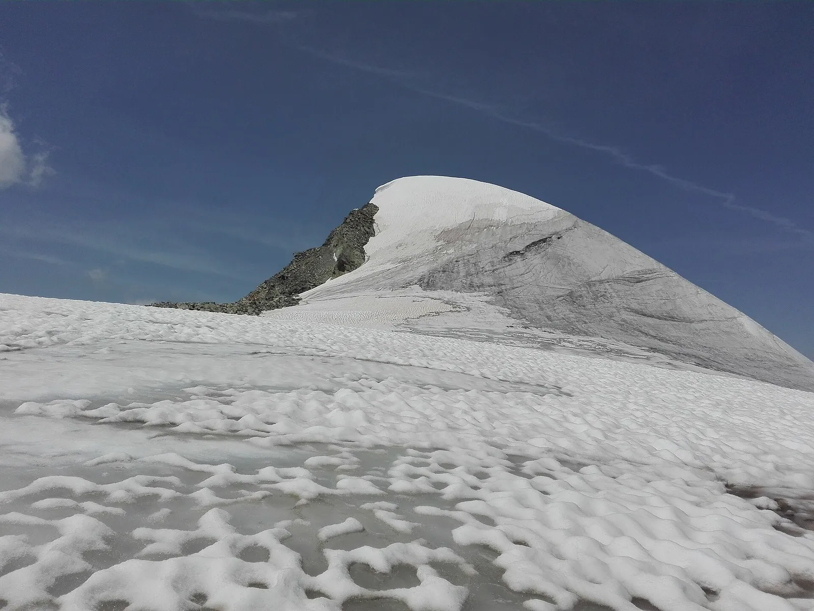
From Prarayer the historic Tour du Cervin crosses the Col Collon (3,074 m) and the Arolla glacier down to Arolla (2,006 m) in the Val d’Hérens. This is a true glacier crossing: only with a mountain guide, rope and crampons. The stage is marked as an alpine transfer, with no hiking track.
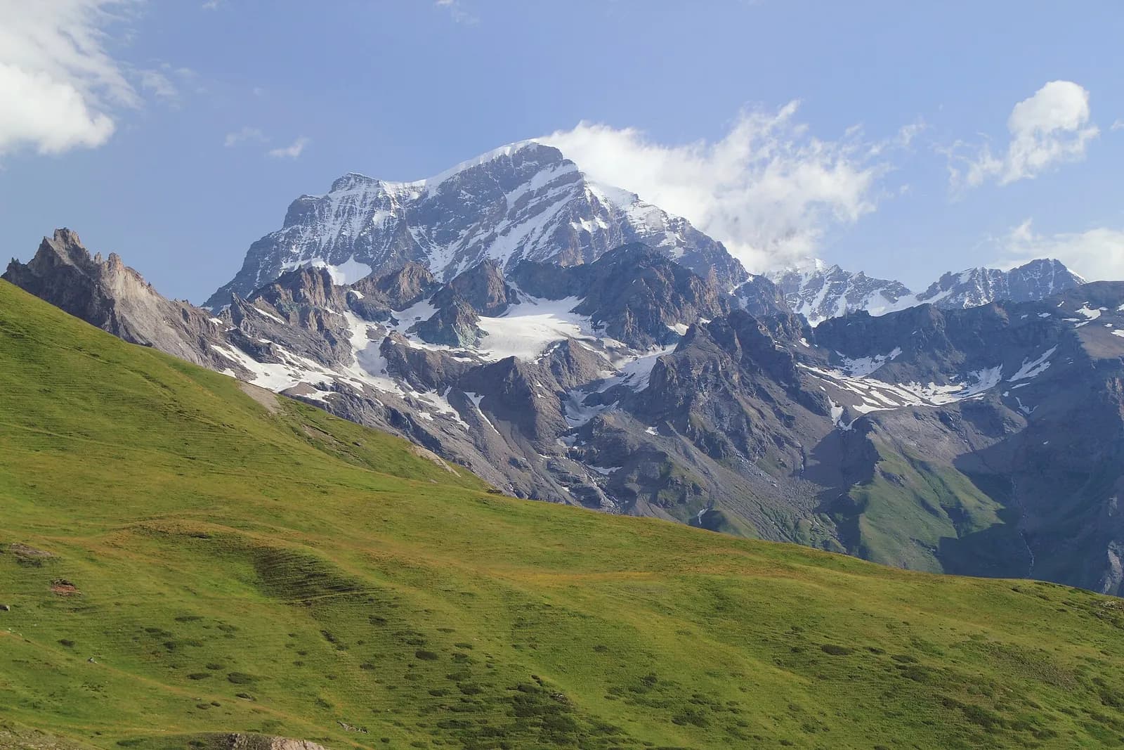
This is the historic crossing par excellence: by the 16th century the people of Evolène were already using the Col Collon to reach the fairs of Aosta, and finds recovered from the glacier testify to far older traffic. Today the Arolla glacier crossing is a facile alpine route but a glacier route nonetheless: rope, crampons and a mountain guide — or the long bus alternative via the Great St Bernard. From the col you descend among moraines to the Arolla plains, beneath the perfect profile of Mont Collon. The Nacamuli hut, on the Italian side, is the base for dawn starts.
Puntos clave
Col Collon
3074 m · 8.3 km from start
Ciencias de la Tierra
Geología y paisaje
The Matterhorn is the world’s most famous textbook of Alpine geology: its pyramid is a sliver of African continental crust (Dent Blanche nappe, Arolla and Valpelline gneisses) resting on the green ophiolites of the Piedmont-Liguria ocean, visible at its base. The tour walks along this very suture: serpentinites and calcschists in the Cignana and Valcournera valleys, brown gneisses above Zermatt and Arolla.
Historia y cultura
On the Col Collon the glacier has yielded remains and objects of travellers from every age, from medieval arrows to Savoy coins: the people of Evolène simply called it “the crossing”.
Fuentes de agua
Water at the stage's support points (Rifugio Prarayer, Arolla). On the high ground and at the passes springs are not guaranteed: fill bottles in the valley and at the huts.
Cómo llegar
Cross-border stage: on the foreign sides local public transport applies (PostAuto in Switzerland, line buses in France/Piedmont). Check seasonal timetables; in peak season several access links run by reservation only.
Aparcamiento
Refugios y vivacs
Galería de fotos
Photos are published immediately. JPG/PNG/WebP, max 6 MB.
Etapas contiguas
AEditado y verificado por Andrea Rama
Fuente de datos: Tour del Cervino / Tour du Cervin — itinerario internazionale · Traccia calcolata su rete sentieri OpenStreetMap (ODbL); verificare sul terreno
Última verificación:
Valpelline — Val d’Hérens
Senderos relacionados
Mismo valle o rutas similares — más excursiones por descubrir.
Valpelline — Valle del Gran San Bernardo
Tour des Combins — Stage 1: Ollomont → Saint-Rhémy-en-Bosses
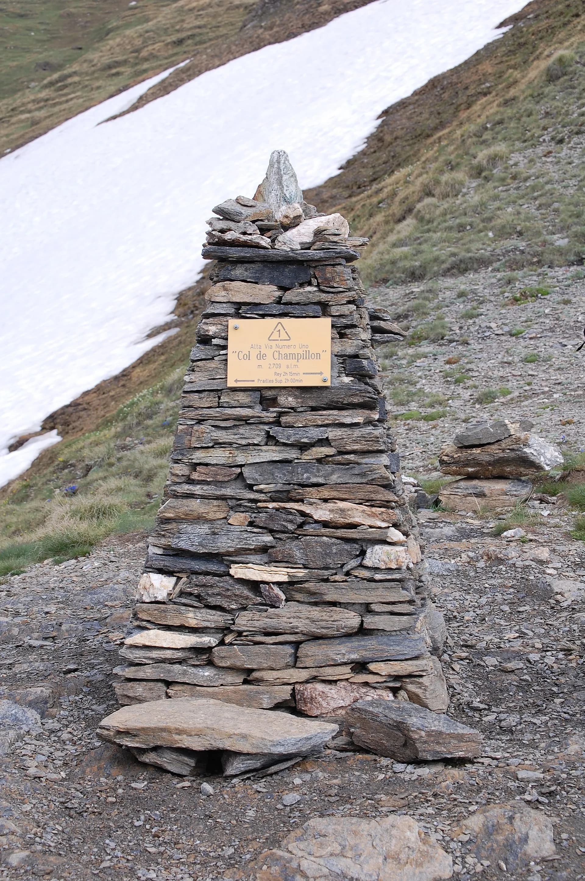
From the By basin to the Col Champillon, on the Tour des Combins line.
Valpelline
High Route 1 — Stage 11: Rifugio Oratorio di Cuney → Oyace
From the Sanctuary of Cuney to the Valpelline: a long descent over exposed ridges with short scramble sections, ending at Oyace in the heart of the Aosta Valley's most untouched valley.
Valpelline
High Route 1 — Stage 12: Oyace → Ollomont via Col Brison
The wild Valpelline: Oyace and Ollomont sit at nearly the same elevation, but Col Brison at 2520 m demands over 1100 m of climbing with views to Mont Vélan and Grand Combin on the Swiss border.
Valpelline — Conca di By
High Route 1 — Stage 13: Ollomont → Rifugio Champillon
From Ollomont to Rifugio Champillon in the Conca di By: 1000 m of climbing through forests and summer farms to one of the AV1's most distinctive huts, complete with mountain sauna and yurt.