Tour of the Matterhorn — Stage 3: Arolla → Les Haudères
Advertencias
- Book overnight stops in peak season
8 km
+53 m
−673 m
3.5 h
Nivel físico
Mapa y ruta
Traza GPX — verifica sobre el terreno antes de caminar
Descripción
Puntos clave
Salida
Arolla · 2009 m
Llegada
Les Haudères · 1441 m
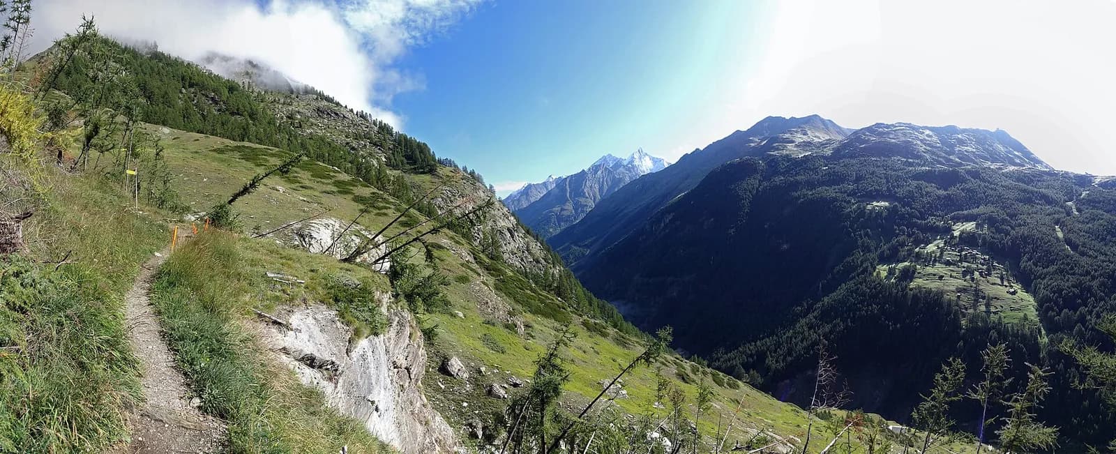
A short recovery stage: from Arolla descend along the Borgne through the stone-pine woods that give the village its name, past La Gouille and the Satarma meadows, to Les Haudères (1,452 m), a Valais village of dark timber barns.
A recovery day in the heart of the Val d’Hérens, one of the most authentic valleys in Valais. The trail descends along the Borgne among the stone pines — the “aroles” that give the village its name — past the blue tarn of La Gouille, a favourite with families, and the barn-dotted meadows of Satarma. At Les Haudères the sun-blackened timber houses crowd the lanes as they did three centuries ago; a half-hour detour climbs to Evolène, ranked among Switzerland’s most beautiful villages. All services, buses to Sion, and time to rest the legs.
Ciencias de la Tierra
Geología y paisaje
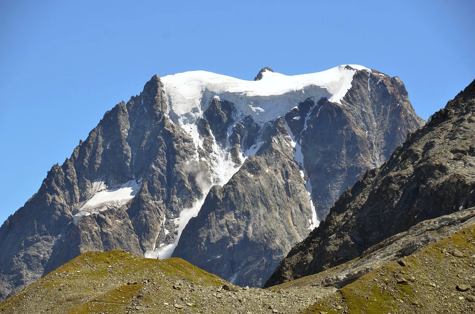
The Matterhorn is the world’s most famous textbook of Alpine geology: its pyramid is a sliver of African continental crust (Dent Blanche nappe, Arolla and Valpelline gneisses) resting on the green ophiolites of the Piedmont-Liguria ocean, visible at its base. The tour walks along this very suture: serpentinites and calcschists in the Cignana and Valcournera valleys, brown gneisses above Zermatt and Arolla.
Historia y cultura
Evolène and Les Haudères keep the traditional costume still worn on feast days; the valley is the last in French-speaking Valais where the Franco-Provençal patois remains an everyday living language.
Fuentes de agua
Water at the stage's support points (Arolla, Les Haudères). On the high ground and at the passes springs are not guaranteed: fill bottles in the valley and at the huts.
Cómo llegar
Cross-border stage: on the foreign sides local public transport applies (PostAuto in Switzerland, line buses in France/Piedmont). Check seasonal timetables; in peak season several access links run by reservation only.
Aparcamiento
Galería de fotos
Photos are published immediately. JPG/PNG/WebP, max 6 MB.
Etapas contiguas
AEditado y verificado por Andrea Rama
Fuente de datos: Tour del Cervino / Tour du Cervin — itinerario internazionale · Traccia calcolata su rete sentieri OpenStreetMap (ODbL); verificare sul terreno
Última verificación:
Val d’Hérens (Vallese)
Senderos relacionados
Mismo valle o rutas similares — más excursiones por descubrir.
Valtournenche — Valpelline
Tour of the Matterhorn — Stage 1: Breuil-Cervinia → Rifugio Prarayer
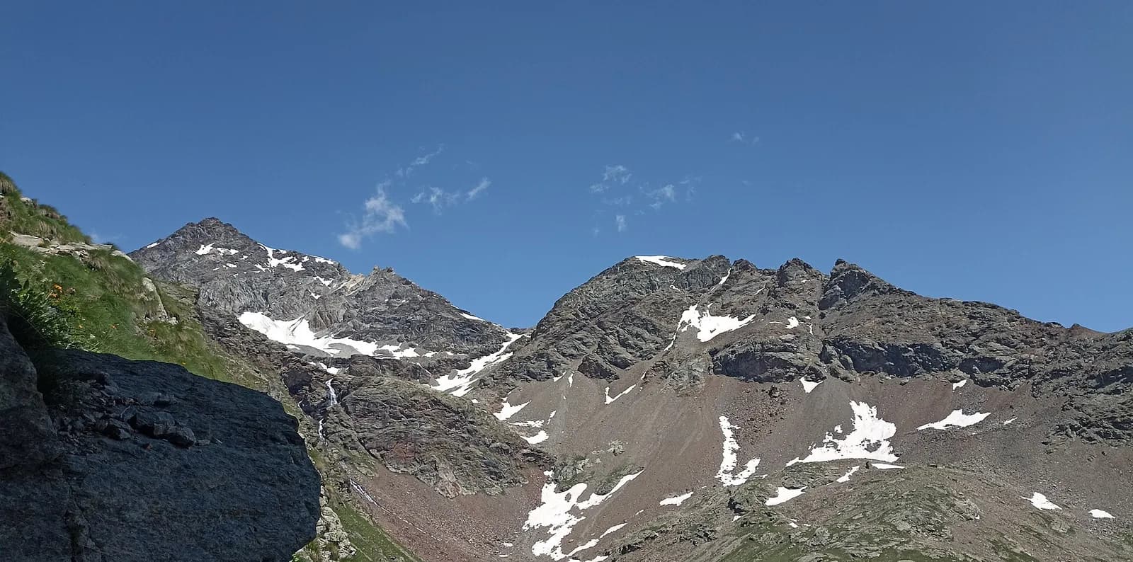
The Valcournera pass, a stern gateway to the Valpelline.
Val d’Anniviers — Turtmanntal (Vallese)
Tour of the Matterhorn — Stage 5: Zinal → Gruben
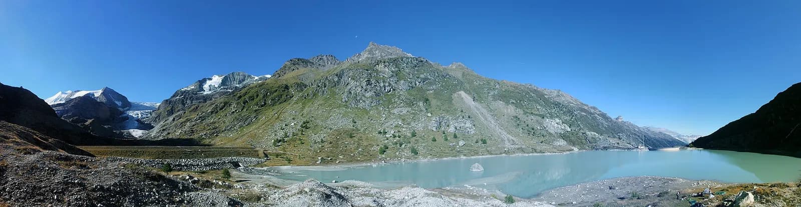
The Forcletta and the forgotten Turtmann valley.
Turtmanntal — Mattertal (Vallese)
Tour of the Matterhorn — Stage 6: Gruben → St. Niklaus
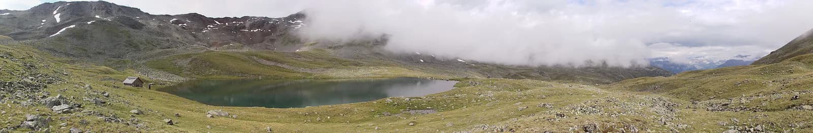
The Augstbordpass, an ancient Walser route to the Mattertal.
Mattertal (Vallese)
Tour of the Matterhorn — Stage 7: St. Niklaus → Zermatt
Along the Vispa to the Matterhorn’s village.