Turtmanntal — Mattertal (Vallese)
Tour of the Matterhorn — Stage 6: Gruben → St. Niklaus
Advertencias
- Snowfields possible on the passes until early July
- Book overnight stops in peak season
18.4 km
+1345 m
−2240 m
11.5 h
Nivel físico
Mapa y ruta
Traza GPX — verifica sobre el terreno antes de caminar
Descripción
Puntos clave
Salida
Gruben · 1838 m
Llegada
St. Niklaus · 1114 m
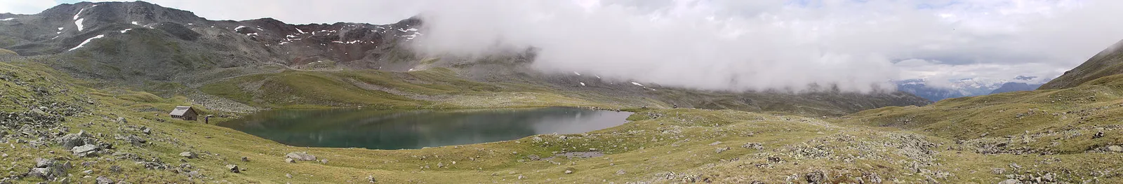
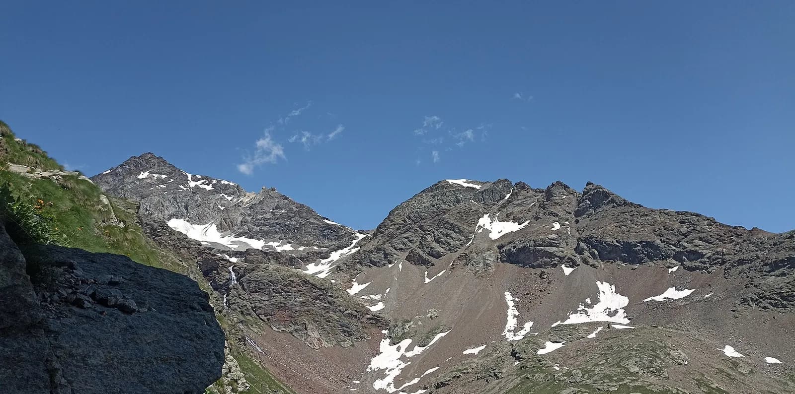
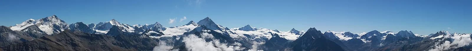
From Gruben climb to the Augstbordpass (2,894 m), a crossing used by Walser traders since the 13th century. The descent crosses the Embd boulder field to the eagle’s nest of Jungen (1,955 m), with the Mattertal a thousand metres below, before dropping to St. Niklaus (1,127 m).
The Augstbordpass has been documented since the 13th century as the merchants’ and bishops’ way between the Rhône and the Mattertal, and the trail keeps that wise gait: even gradients among junipers and scree to the 2,894-metre notch. The descent crosses the impressive Embd boulder field — passages over blocks, waymarks to follow carefully — and emerges at the Twära viewpoint, the Mattertal a thousand metres below and the Mischabel giants opposite. Jungen, an eagle’s nest served by a tiny cable car, offers a last stop before the final switchbacks to St. Niklaus.
Puntos clave
Augstbordpass
2894 m · 5.6 km from start
Ciencias de la Tierra
Geología y paisaje
The Matterhorn is the world’s most famous textbook of Alpine geology: its pyramid is a sliver of African continental crust (Dent Blanche nappe, Arolla and Valpelline gneisses) resting on the green ophiolites of the Piedmont-Liguria ocean, visible at its base. The tour walks along this very suture: serpentinites and calcschists in the Cignana and Valcournera valleys, brown gneisses above Zermatt and Arolla.
Historia y cultura
St. Niklaus is the village of the Mattertal guide dynasties — Knubel, Lochmatter, Pollinger — who signed half a century of Alpine and Himalayan first ascents: the guides’ museum keeps their memory.
Fuentes de agua
Water at the stage's support points (Gruben, St. Niklaus). On the high ground and at the passes springs are not guaranteed: fill bottles in the valley and at the huts.
Cómo llegar
Cross-border stage: on the foreign sides local public transport applies (PostAuto in Switzerland, line buses in France/Piedmont). Check seasonal timetables; in peak season several access links run by reservation only.
Aparcamiento
Galería de fotos
Photos are published immediately. JPG/PNG/WebP, max 6 MB.
Etapas contiguas
AEditado y verificado por Andrea Rama
Fuente de datos: Tour del Cervino / Tour du Cervin — itinerario internazionale · Traccia calcolata su rete sentieri OpenStreetMap (ODbL); verificare sul terreno
Última verificación:
Turtmanntal — Mattertal (Vallese)
Senderos relacionados
Mismo valle o rutas similares — más excursiones por descubrir.
Valtournenche — Valpelline
Tour of the Matterhorn — Stage 1: Breuil-Cervinia → Rifugio Prarayer
The Valcournera pass, a stern gateway to the Valpelline.
Valpelline — Val d’Hérens
Tour of the Matterhorn — Stage 2: Rifugio Prarayer → Arolla
The Col Collon: an alpine transfer over the glacier, as in the Middle Ages.
Val d’Hérens (Vallese)
Tour of the Matterhorn — Stage 3: Arolla → Les Haudères
Active rest in the Val d’Hérens, among arolla pines and timber villages.
Val d’Hérens — Val de Moiry — Val d’Anniviers
Tour of the Matterhorn — Stage 4: Les Haudères → Zinal
Two passes and the turquoise Moiry lake in one big Valais day.