Refuge · 2005 m
Rifugio Prarayer
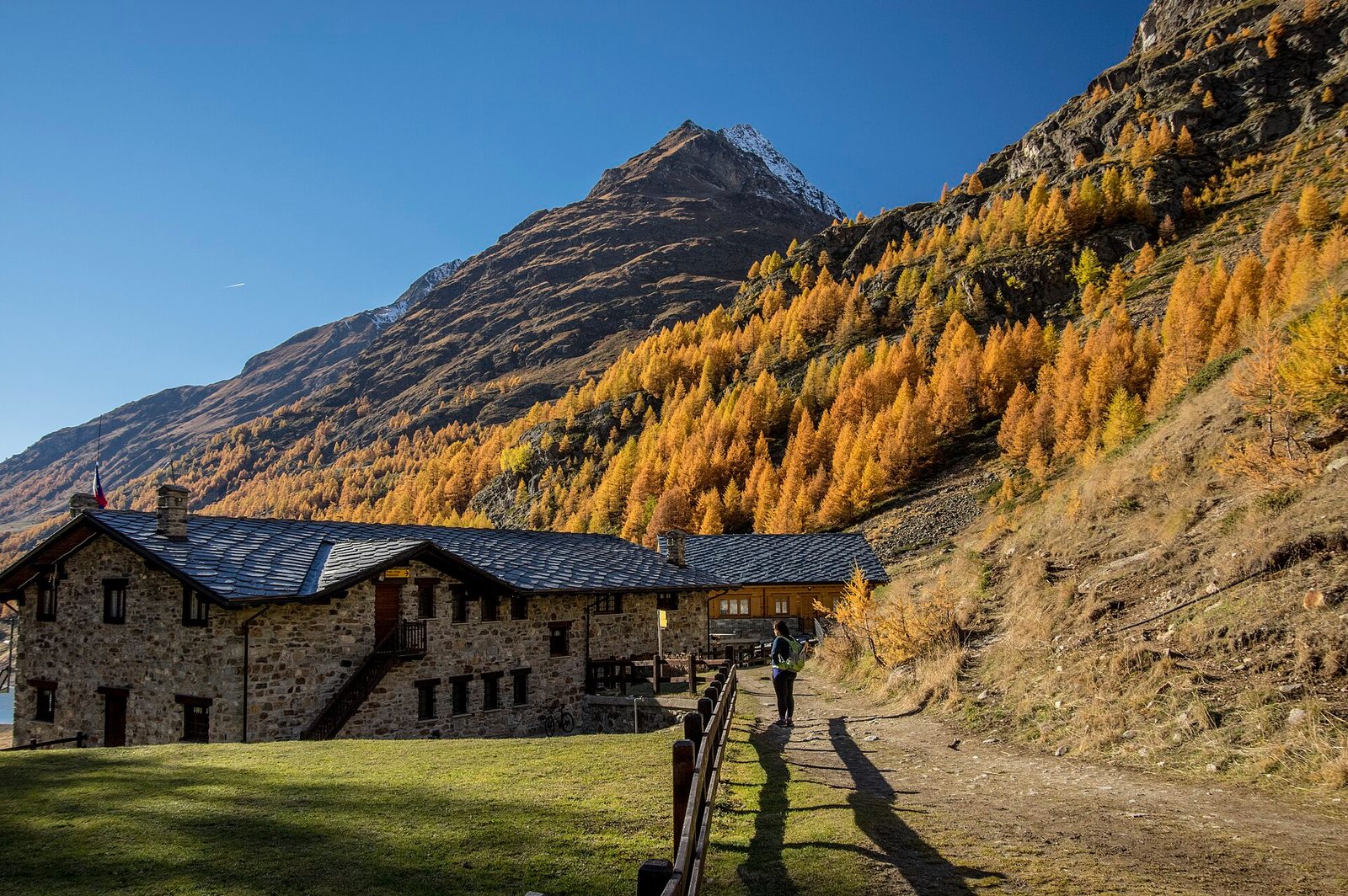
Alta Via del Gran Combin hut at the Arolla glacier margins. Base for Gran Combin ascents.
It can be reached only on foot, by the level walk along the Place Moulin reservoir: half an hour above turquoise water that is already part of the experience. The Prarayer basin, closed by the Dent d’Hérens and the Grandes Murailles, is the hiking heart of the upper Valpelline: through here pass the Alta Via 1, the Tour of the Matterhorn and the routes to the border bivouacs and cols.
Altitude
2005 m
Valley
Valpelline
Beds
55
Opening
Mid-June – mid-September
Managed by
CAI Aosta
History
Prarayer was the last settlement of the upper Valpelline on the historic Col Collon route to Valais: its houses sheltered wayfarers and smugglers long before the construction of the Place Moulin dam in the 1960s left the basin reachable only on foot. The buildings of the old village were converted into today’s refuge, which preserves their stone walls.
What to eat
Generous Aosta Valley cooking; polenta and game.
Indicative rates
Half-board roughly €50–65; book online.
Contact & booking
Official manager details — always check opening dates and rates on the website before you go.
Where it is
45.9211, 7.5329 · 2005 m
How to get there
- Tour of the Matterhorn — Stage 1: Breuil-Cervinia → Rifugio Prarayer18.2 km · +1418 mEE
- Tour of the Matterhorn — Stage 2: Rifugio Prarayer → Arolla16.8 km · +1084 mA
- Rifugio Prarayer - Alpe Braulé2.4 km · +348 mE
- Rifugio Prarayer - Rifugio Aosta7.3 km · +797 mEEA
- Rifugio Prarayer - Colle di Valcorneraz5.8 km · +1127 mEE
- Place Moulin - Rifugio Prarayer4.6 km · +0 mT
Recommended season
Mid-June – mid-September
Effort to reach it
Difficulty of the access trails: T–A, +348–1418 m (CAI scale).
What to bring
A sleeping-bag liner (required in many huts), cash (cards are often not accepted at altitude), a change of clothes and warm layers for the evening, a headlamp, a water bottle. Always book your bed and meals in advance, and let the hut know if you cancel.
What to do there
Enjoy dinner in good company and the sunset from the terrace. Many use the hut as a base for a dawn departure: ask the keeper about trail and weather conditions before setting out, and start light while the snow is still firm. The climbing routes are on the trail pages above.
Nearby peaks
Community gallery
Photos are published immediately. JPG/PNG/WebP, max 6 MB.
Source: rifugioprarayer.it · lovevda.it
Rifugio Prarayer