Place Moulin - Lac Mort
Advertencias
- Short season (July–September): snow outside the window.
- Open terrain at altitude: beware of thunderstorms.
4.9 km
+877 m
−0 m
3.5 h
Nivel físico
Mapa y ruta
Traza GPX — verifica sobre el terreno antes de caminar
Descripción
Puntos clave
Salida
Place Moulin · 2011 m
Llegada
Lac Mort · 2865 m
Sendero
S8
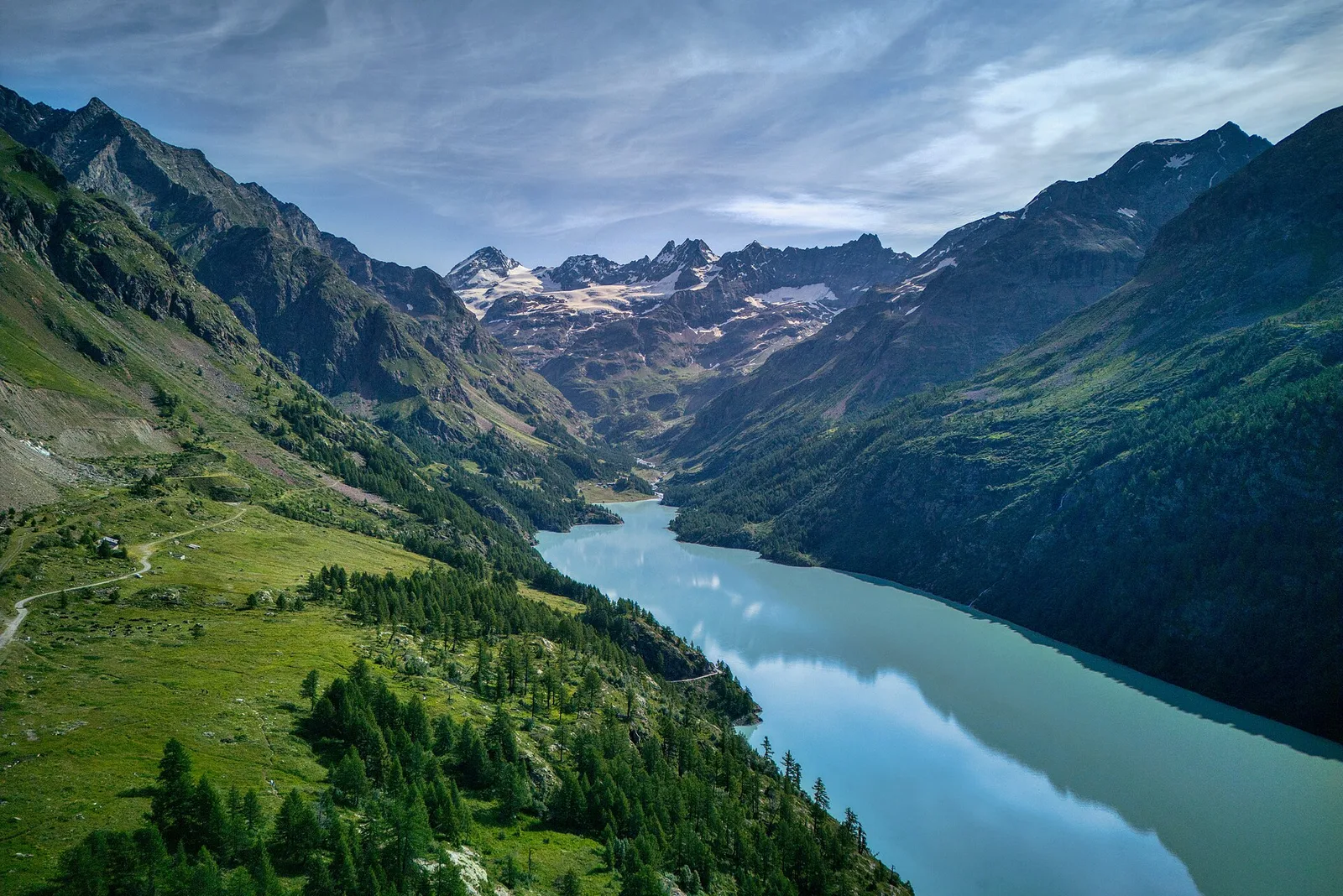
From the Place-Moulin dam in upper Valpelline, waymark no. 7 leaves the lakeshore and climbs firmly through rock and pasture to Lac Mort (over 2,700 m), a glacial basin set below the border peaks with Switzerland. A demanding climb for the concentrated ascent, rewarded by a stark, silent setting and views of the Grand Combin massif. For fit hikers; best July to September, once snow has left the basin.
Aparcamiento
Galería de fotos
Photos are published immediately. JPG/PNG/WebP, max 6 MB.
Flora del sendero
Fauna que observar
AEditado y verificado por Andrea Rama
Fuente de datos: Catasto Sentieri Regione Autonoma VdA · Open data — DGR 899/2014
Última verificación:
Valpelline
Senderos relacionados
Mismo valle o rutas similares — más excursiones por descubrir.

Valpelline
Bionaz (Plan Praz) - Place Moulin
Upper Valpelline, Bionaz: an E-rated route toward a glacial objective over open terrain.

Valpelline
Chamin - Bivacco della Sassa
From Chamin (1,732 m) to the Bivacco della Sassa (2,964 m) in the quiet Valpelline: 7.1 km and 1,246 m of ascent.

Valpelline
Champillon - Rifugio Letey - Col Champillon
3.1 km · +643 m · E — from Champillon to Col Champillon (Valtournenche).

Valpelline
Chanté - Mont Saron
From Allein toward Valpelline across the panoramic ridge between the two valleys: an E-rated route over open pastures with views of the Gran San Bernardo.