Lusey - Col Varotta
6.2 km
+1444 m
−0 m
5 h
Nivel físico
Mapa y ruta
Traza GPX — verifica sobre el terreno antes de caminar
Descripción
Puntos clave
Salida
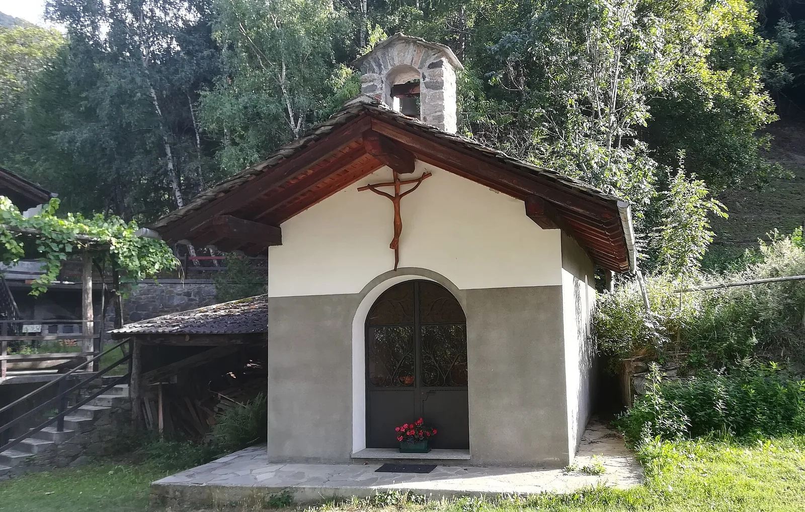
Lusey · 1166 m
Llegada
Col Varotta · 2589 m
Sendero
S3
From Lusey (1166 m), in the municipality of Châtillon at the mouth of the Valtournenche, the path climbs steeply to the Col Varotta (2589 m) with about 1440 metres of ascent that make it an Expert Hikers (EE) route. It crosses in turn the woods of the slope, the mid-altitude pastures and finally the meadows and scree leading to the pass, one of the historic crossings between the Valtournenche and the side-valleys of the central valley. The sustained gradient and the high-mountain setting call for good fitness, a sure foot and a stable day. From the col, once the ridge is reached, the eye takes in both sides and the peaks that dominate them.
Aparcamiento
Galería de fotos
Photos are published immediately. JPG/PNG/WebP, max 6 MB.
Flora del sendero
Fauna que observar
AEditado y verificado por Andrea Rama
Fuente de datos: Catasto Sentieri Regione Autonoma VdA · Open data — DGR 899/2014
Última verificación:
Valle centrale
Senderos relacionados
Mismo valle o rutas similares — más excursiones por descubrir.

Valle centrale
Anello del Verrand
2.6 km · +233 m · E — from Château Verrand to Château Verrand (Rhêmes Valley).

Valle centrale
Area giochi Croux - Parleyaz
4.1 km · +476 m · E — from Area giochi Croux to Parleyaz (Central Valley).

Valle centrale
Arlier - Cloutraz (Pontey)
From Arlier (603m) to Cloutraz (1067m) on the Châtillon hillside: 3.5 km E through vineyards, woodland and views over the Dora Baltea.

Valle centrale
Arpilles - Champromenty
2.1 km · +333 m · E — from Arpilles to Champromenty (Lys Valley).