Chamois - Innesto sentiero n.4
5.8 km
+779 m
−0 m
3.5 h
Nivel físico
Mapa y ruta
Traza GPX — verifica sobre el terreno antes de caminar
Descripción
Puntos clave
Salida
Chamois · 1812 m
Llegada
Innesto sentiero 4 · 2600 m
Sendero
S4
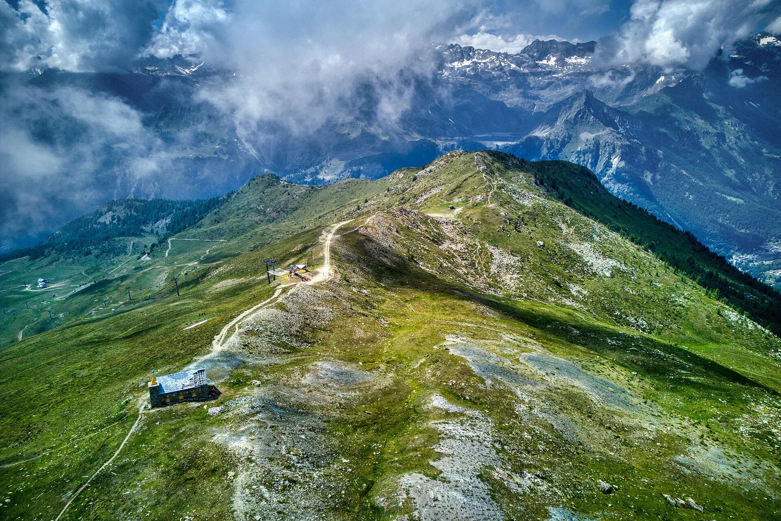
Chamois holds a unique distinction in Italy: a municipality with no road access whatsoever, reachable only on foot or by cable car from Buisson. From this already-elevated starting point at 1812 m the trail gains a further 779 metres over 5.8 km to join trail no. 4 at 2600 m, climbing west-facing slopes above the central Aosta Valley. The route crosses the high pastures that define Chamois territory, with widening views toward the Dora Baltea and the Matterhorn massif. The car-free character of the departure village lends the itinerary a quietness rare in more frequented valleys.
Aparcamiento
Galería de fotos
Photos are published immediately. JPG/PNG/WebP, max 6 MB.
Flora del sendero
Fauna que observar
AEditado y verificado por Andrea Rama
Fuente de datos: Catasto Sentieri Regione Autonoma VdA · Open data — DGR 899/2014
Última verificación:
Valtournenche
Senderos relacionados
Mismo valle o rutas similares — más excursiones por descubrir.

Valtournenche
Anello Area sportiva-Fiernaz-Area sportiva
2.9 km · +28 m · T — from Area sportiva to Area sportiva (Valtournenche).

Valtournenche
Anello dei Villaggi di Antey ( Ruvère, Liesse,Fontaney, Villettaz)
A loop through the sunlit hamlets of Antey and Torgnon: traditional Aosta Valley architecture, vineyards and mid-mountain forest, 5.2 km from Ruvère.

Valtournenche
Anello di Champlève
1.9 km · +140 m · E — from Champlève to Champlève (Central Valley).

Valtournenche
Area Pic Nic Champlong - Becca d'Aver e Cima Longhede
6.4 km · +913 m · E — from Area Pic Nic Champlong to Cima Longhede (Valsavarenche).