
E
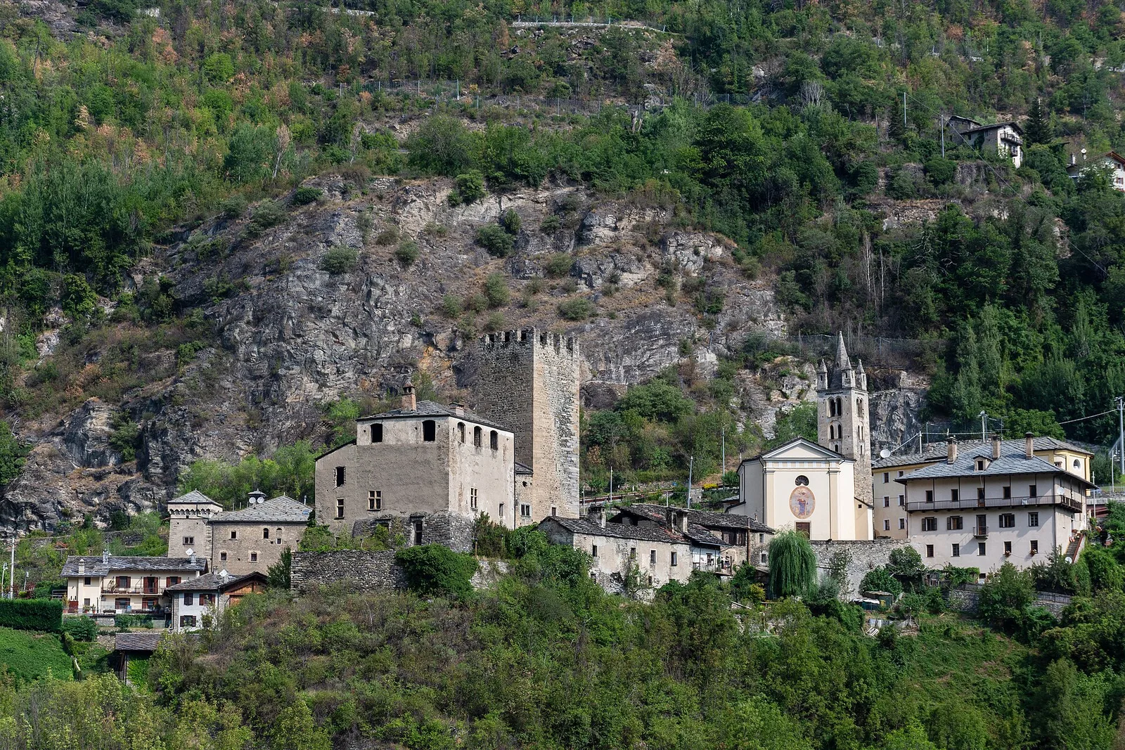
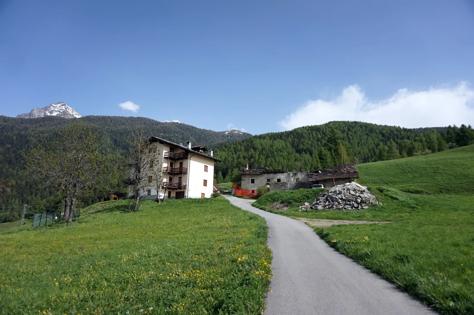
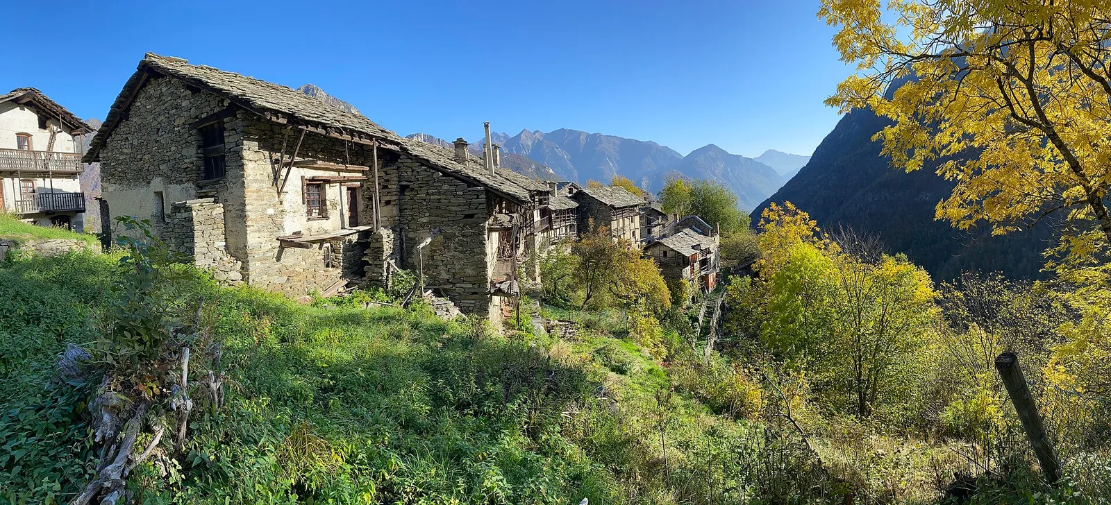
Valle centrale
Anello del Verrand
2.6 km · +233 m · E — from Château Verrand to Château Verrand (Rhêmes Valley).
2.6 km+233 m1 h
Where to spot
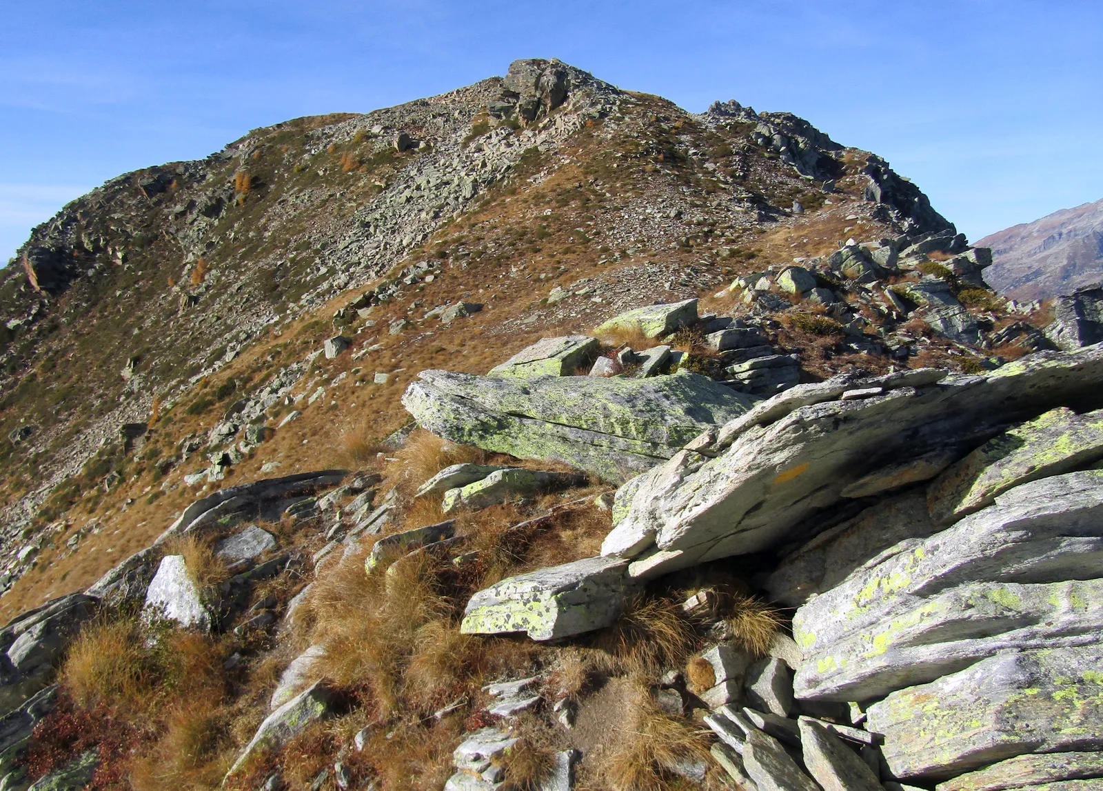
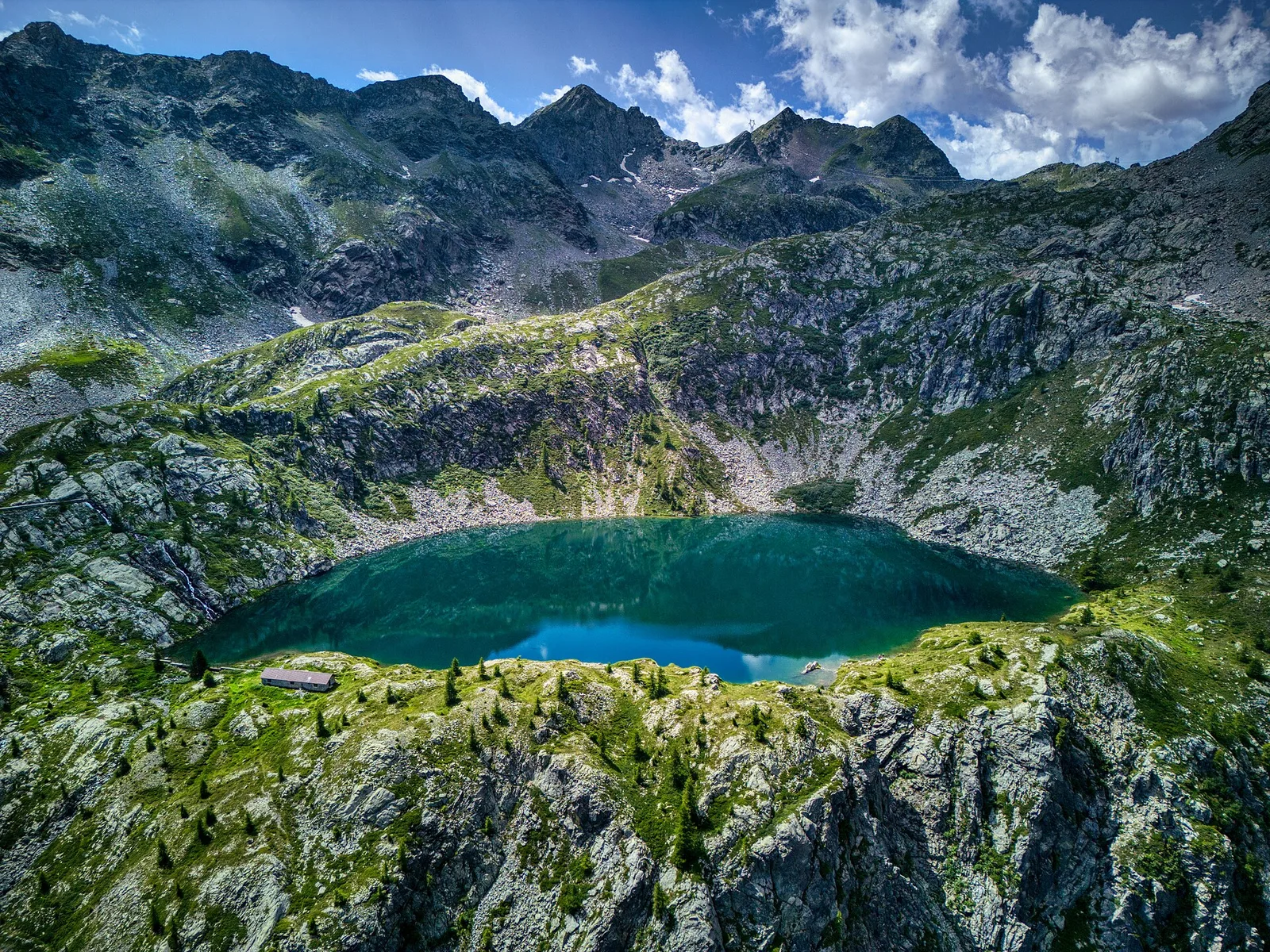
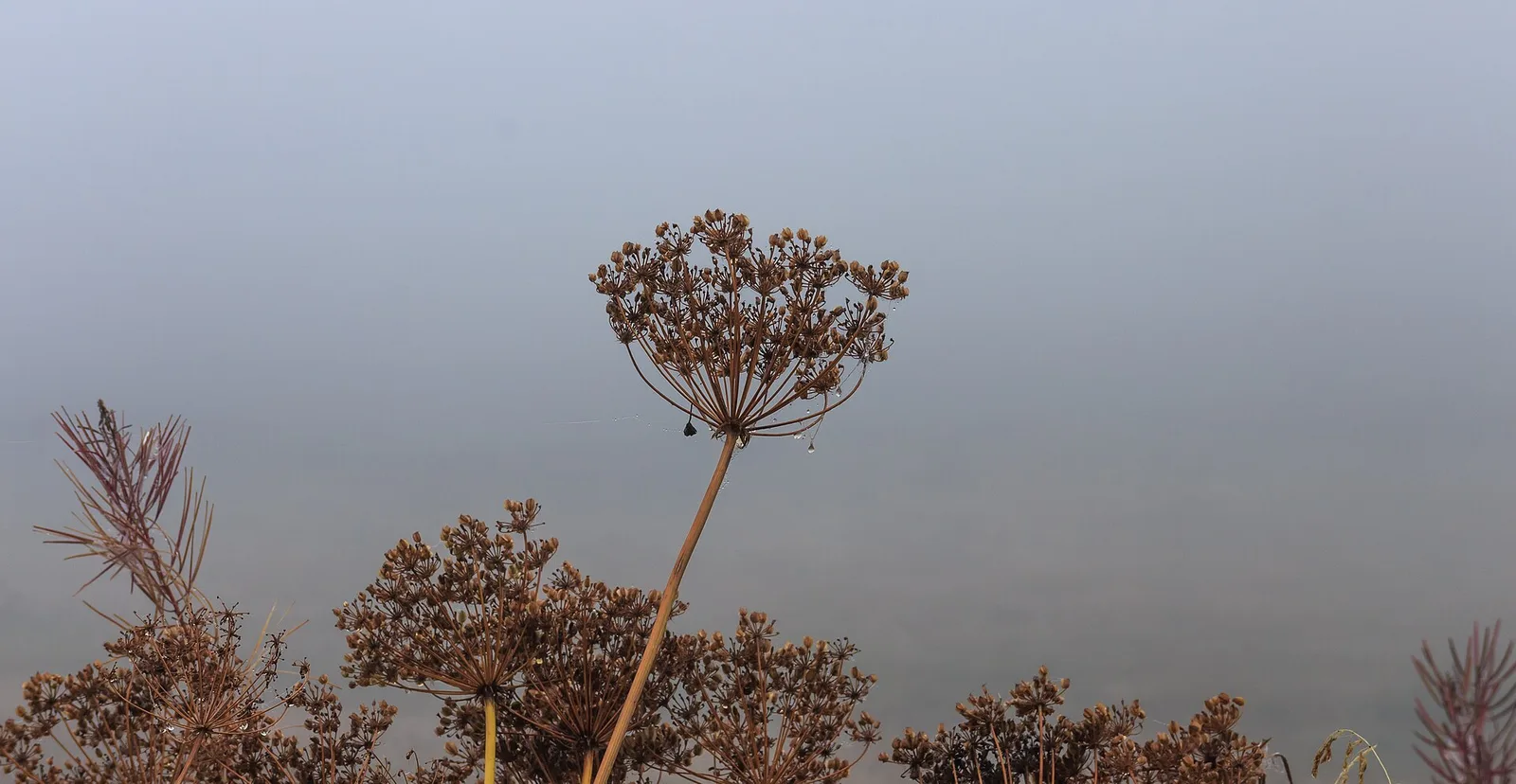
55 trails where Globeflower is listed in flora/fauna: difficulty T–EE, elevation gain 104–1837 m.
55 · 0.9–17.2 km · +104–1837 m
Valle centrale
2.6 km · +233 m · E — from Château Verrand to Château Verrand (Rhêmes Valley).
Valle centrale
2.6 km · +491 m · E — from Avise to Charbonnière (Valdigne).

Valle di Champorcher
13.9 km · +1540 m · E — from Barche to Grand Alpe (Lys Valley).
La Thuile
5.2 km · +578 m · E — from Bivio Vallone des Chavannes to Colle del Piccolo San Bernardo (Lys Valley).
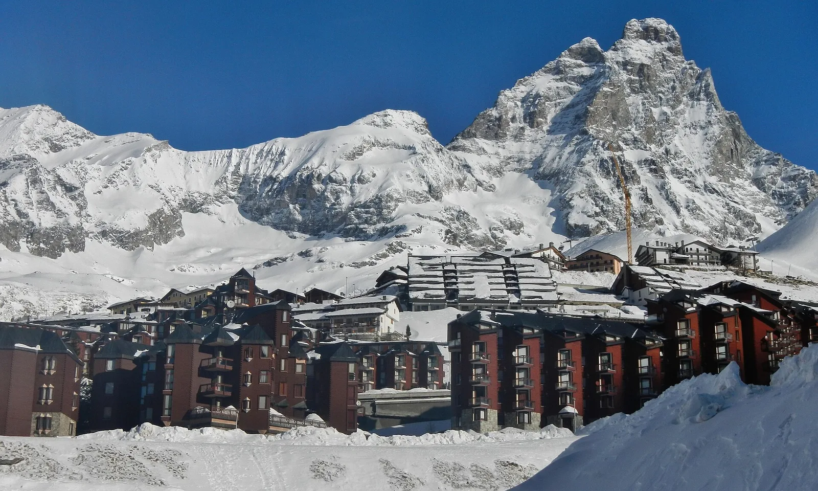
Valtournenche
1.2 km · +136 m · E — from Breuil to Cielo Alto (Central Valley).
Val di Rhêmes
2.9 km · +551 m · E — from Carré to Chaussettaz (Great St Bernard Valley).
Valle centrale
4.4 km · +543 m · E — from Champlong dessus to Petit-Poignon (Central Valley).
Valle centrale
2.5 km · +477 m · E — from Château to Morges (La Thuile).
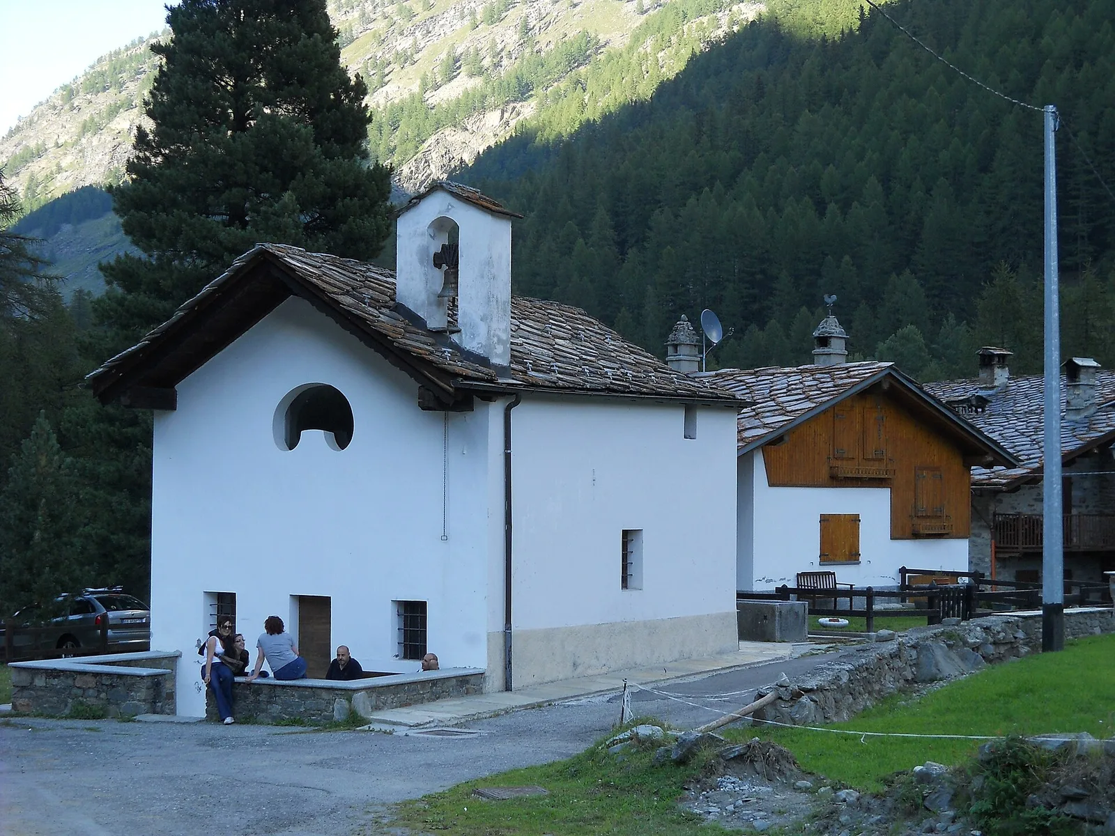
Val di Cogne
1.4 km · +246 m · E — from Cogne, capoluogo to Gimillan (Lys Valley).
Val d'Ayas
2.4 km · +458 m · E — from Col de Joux to Testa di Comagna (Valtournenche).
La Thuile
4.8 km · +342 m · E — from Colle Piccolo San Bernardo to Mont-Belvedere (confine di stato) (Lys Valley).
Valle centrale
4.9 km · +831 m · E — from Cré to Croix de Bouque (Lys Valley).
Val Veny
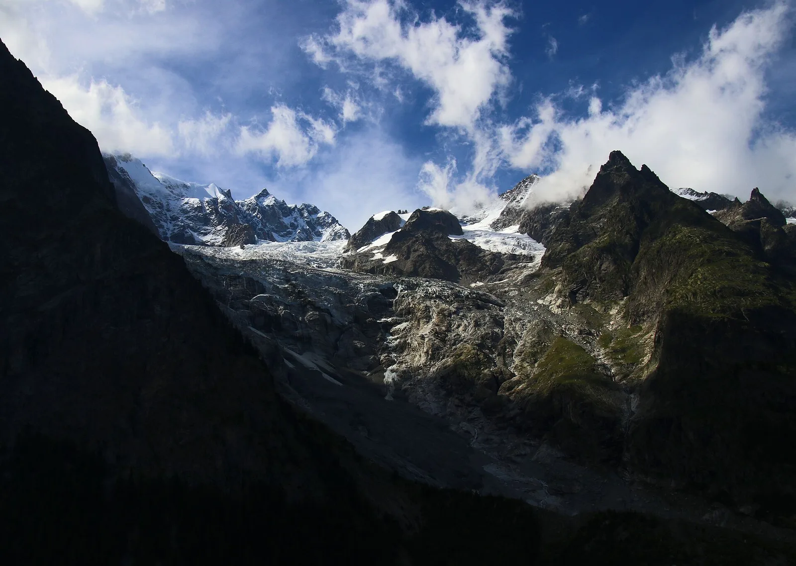
14.3 km · +1234 m · E — from Dolonne to Rifugio Elisabetta (Great St Bernard Valley).

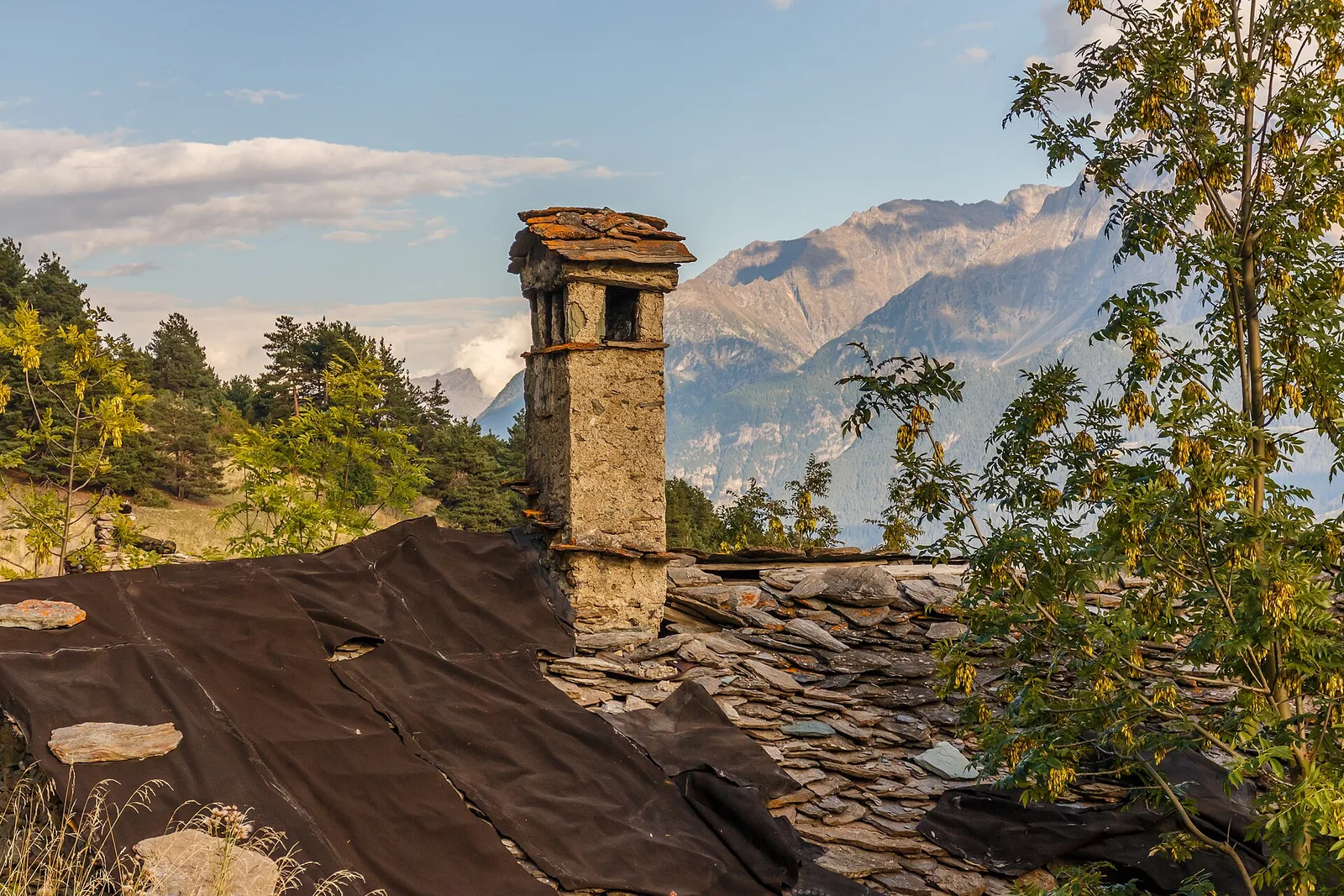
Valle del Gran San Bernardo
From Ville di Allein, an honest climb through pastures and larch woods to the Dortoir Baravex refuge at 1938 m, in the Great St Bernard valley.
Valle di Champorcher
7.2 km · +710 m · E — from Druges to Plan Rué (Great St Bernard Valley).
Valle del Lys
8.6 km · +1458 m · EE — from Fontainemore to Col de Chardon (Lys Valley).
Valle centrale
2.5 km · +364 m · E — from Fossaz, strada carrozzabile per Vens to Vens (Central Valley).
Valtournenche
In the commune of Antey-Saint-André, Valtournenche: an E-rated route between hamlets and pastures on the sunny slope.
Valtournenche
2.8 km · +376 m · E — from Confine Comunale Antey -Torgnon to Fontin Dameun (Valpelline).
Valle centrale
5.6 km · +1012 m · E — from Gressan , Clapey to Pila (Residence Ciel Bleu) (Lys Valley).
Valle del Lys
9 km · +1662 m · E — from Isollaz to Col Dondeuil (Ayas Valley).
Valle centrale
4.7 km · +545 m · E — from La Pissine Sal� to Ermitage de Saint-Grat (Cogne Valley).
Val Ferret
1.5 km · +308 m · EE — from La Saxe to Belvedere (Great St Bernard Valley).
La Thuile
1.9 km · +314 m · E — from Lac d'Arpy to Col de la Croix (Central Valley).
Valle del Lys
2.1 km · +538 m · E — from Lago Gover to Alpe Jatza (Champorcher Valley).
Val d'Ayas
1.1 km · +260 m · E — from Lignod to Barmasc (Central Valley).
Bassa Valle
3.9 km · +830 m · E — from Marine to Col Fênetre (Central Valley).
Val d'Ayas
3 km · +259 m · E — from Mayn to Curien (Ayas Valley).
Valgrisenche
7.6 km · +1124 m · E — from Menthieu to Lago San Grato (Valtournenche).
Valle di Champorcher
9.8 km · +1837 m · EE — from Monteil to Le Give (Valtournenche).
Val di Cogne
0.9 km · +104 m · E — from Montroz to Gimillan (Lys Valley).
Valle del Lys
5 km · +853 m · E — from Niel to Lago di Suckie (Great St Bernard Valley).
Valle di Champorcher
6.9 km · +1248 m · E — from Outre l'Eve to Col Santanel (Valtournenche).
Valtournenche
3 km · +504 m · E — from Pâquier to Servaz (Central Valley).
Valtournenche
5.7 km · +693 m · E — from Parcheggio Porliod to Innesto AV1 (Valpelline).
Val d'Ayas
Upper Val d'Ayas, Brusson: a route toward a panoramic objective at high altitude.
Valle di Champorcher
1.4 km · +381 m · EE — from Petit-Rosier to Col de Poussauel (Valtournenche).
Bassa Valle
2.4 km · +790 m · E — from Saint-Roch to Col de Plan Fenetre (Central Valley).
Valsavarenche
3.7 km · +471 m · E — from Pont to Montcorvé (Ayas Valley).
Valle del Gran San Bernardo
6.2 km · +904 m · E — from Prenoud to Tête du Bois (Great St Bernard Valley).
Valle del Gran San Bernardo
3.2 km · +823 m · E — from Roisan to Riond (Valtournenche).
Valle centrale
2.9 km · +688 m · EE — from Rovarey to Thuy damon (Chambave) (Lys Valley).
Valpelline
2.9 km · +570 m · E — from Ru to Plan Faudery (Valpelline).
Valle di Champorcher
3.4 km · +478 m · E — from Strada Dondena to Raty desot (Valtournenche).
Val d'Ayas
7.4 km · +1671 m · E — from Strada per Veulla to Mont Barbeston (Central Valley).
Valle del Lys
From Estoul (1884m) to Rifugio Arp (2425m): 6.3 km Tourist-rated across open upper Val d'Ayas pastures. Suitable for all, base for more demanding excursions.
Valle del Lys
2.8 km · +590 m · E — from Start S2 (strada per Tschalvrino) to Weissmatten (Champorcher Valley).
Val d'Ayas
11.4 km · +1165 m · E — from Crest to Rifugio Grand Tournalin (Central Valley).
Valsavarenche
17.2 km · +1676 m · EE — from Eaux Rousses to Rifugio Sella (Ayas Valley).
Valpelline
4.5 km · +390 m · E — from Rey to Chatellair-Dessus (Valpelline).
Valtournenche
4.6 km · +581 m · E — from Triatel to Santuario di Gilliarey (Valpelline).
Valle di Champorcher
7.4 km · +1789 m · E — from Varesa to Col de la Fricolla (Champorcher Valley).
Valle centrale
From Vedun (1519 m) to Mont-Court de Bard (2170 m): 3.3 km, +652 m, steep consistent climb. Mont Blanc and Vertosan views. Half-day route. E.
Valle centrale
4.8 km · +719 m · EE — from Verrogne to Becca France (Central Valley).
Val Veny
2.9 km · +151 m · E — from Lassy damon to Visaille (Great St Bernard Valley).