Tour des Combins — Stage 6: Cabane FXB Panossière → Cabane de Chanrion
Advertencias
- Snowfields possible on the passes until early July
- Check the weather: long high-altitude stages with few escape routes
- Book overnight stops in peak season
17.2 km
+1302 m
−1849 m
10.5 h
Nivel físico
Mapa y ruta
Traza GPX — verifica sobre el terreno antes de caminar
Descripción
Puntos clave
Salida
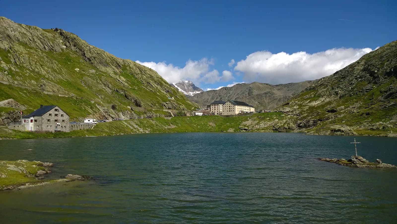
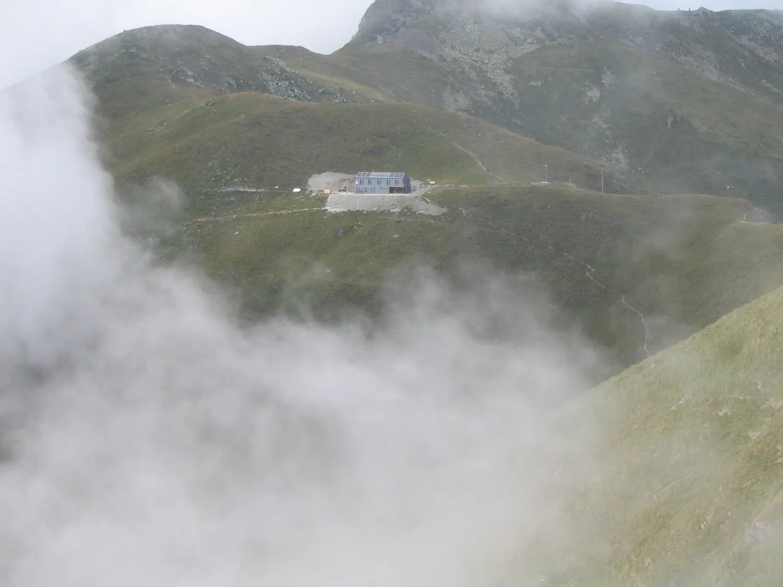
Cabane FXB Panossière · 2637 m
Llegada
Cabane de Chanrion · 2463 m
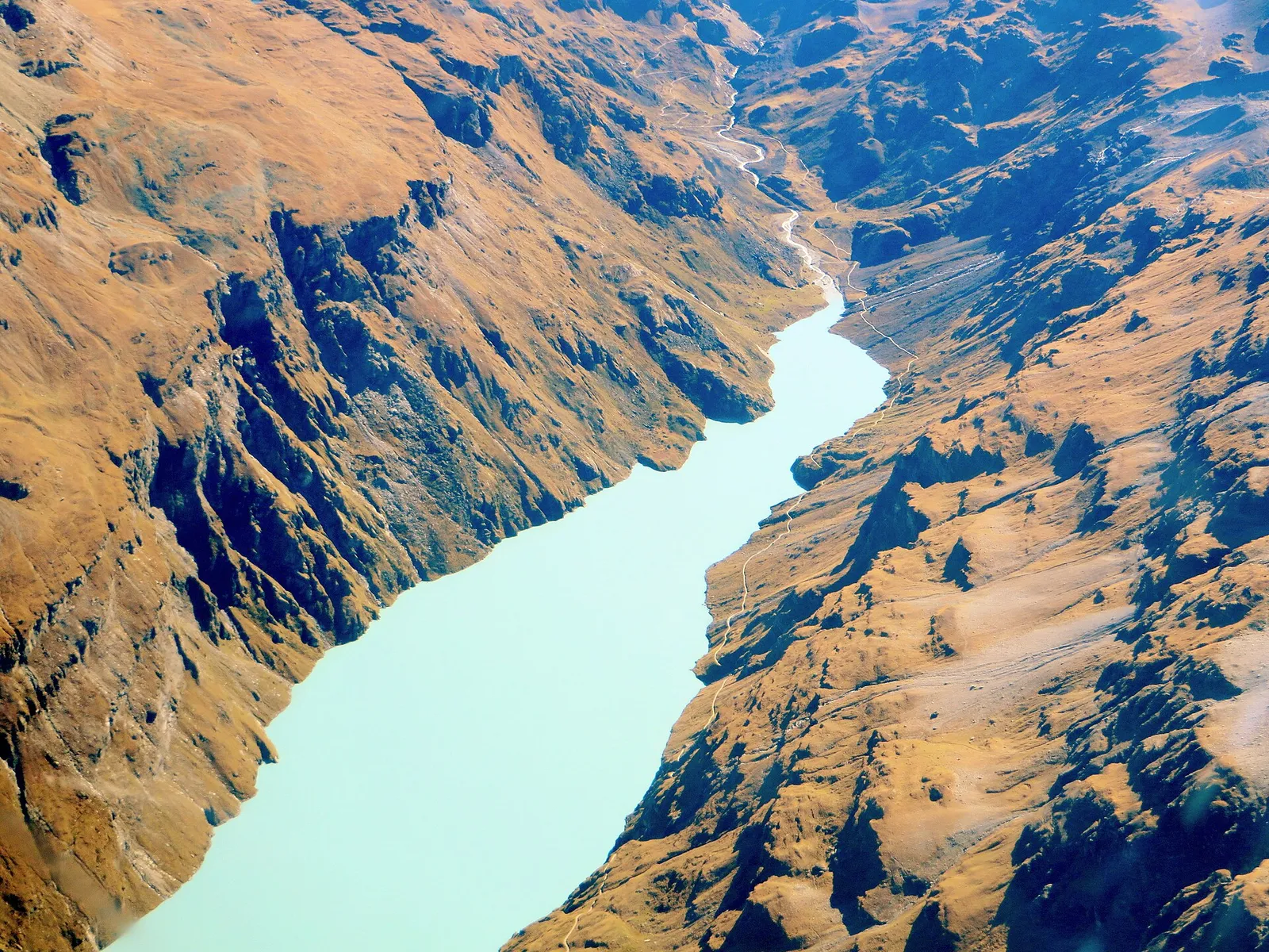
From the Panossière hut cross the Col des Otanes (2,846 m), overlooking the whole Corbassière glacier, and descend to the great Mauvoisin dam. Then ascend along the long reservoir through tunnels and ledges to the Cabane de Chanrion (2,462 m), in the mineral heart of upper Bagnes.
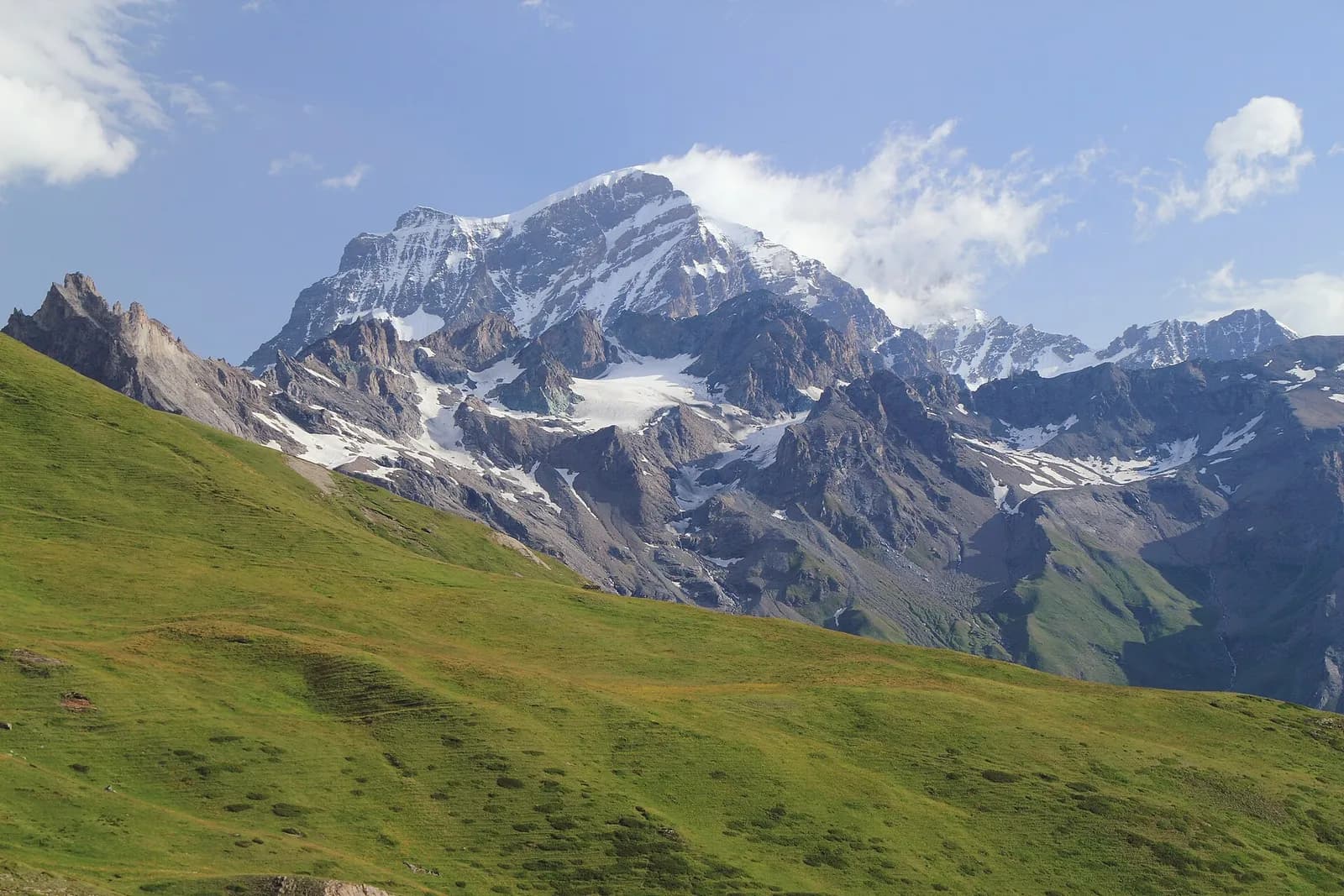
The Col des Otanes is the roof of the Tour des Combins: from the climb you take in the whole Corbassière glacier, from the summit icefall to the snout. The long descent reaches the Mauvoisin dam, a 250-metre arch — among the world’s highest — that transformed the valley. You then head up the lake on the high path: tunnels cut into the rock, protected ledges and waterfalls plunging into the turquoise reservoir. Beyond the alluvial plain of the Grand Charmotane you finally climb to Chanrion, in the mineral realm of upper Bagnes, where ibex and bearded vultures are at home.
Puntos clave
Col des Otanes
2846 m · 1.3 km from start
Ciencias de la Tierra
Geología y paisaje
The Grand Combin belongs to the Grand St Bernard nappe (middle Penninic): crystalline schists and gneisses of the Siviez-Mischabel zone, overlain to the south by the calcschists-with-ophiolites of the By valley. The great north wall above the Panossière hut shows the alternation of basement and carbonate cover; the Fenêtre de Durand is carved in the softer calcschists, ever the natural way between Bagnes and Valpelline.
Historia y cultura
The Mauvoisin dam (1957), 250 metres, is among the world’s highest arch dams: it drowned the alp of the same name and transformed upper Bagnes; the Giétro recalls the glacial catastrophe of 1818.
Fuentes de agua
Water at the stage's support points (Cabane FXB Panossière, Cabane de Chanrion). On the high ground and at the passes springs are not guaranteed: fill bottles in the valley and at the huts.
Cómo llegar
Cross-border stage: on the foreign sides local public transport applies (PostAuto in Switzerland, line buses in France/Piedmont). Check seasonal timetables; in peak season several access links run by reservation only.
Aparcamiento
Galería de fotos
Photos are published immediately. JPG/PNG/WebP, max 6 MB.
Etapas contiguas
AEditado y verificado por Andrea Rama
Fuente de datos: Tour des Combins — itinerario ufficiale transfrontaliero · Traccia calcolata su rete sentieri OpenStreetMap (ODbL); verificare sul terreno
Última verificación:
Val de Bagnes (Vallese)
Senderos relacionados
Mismo valle o rutas similares — más excursiones por descubrir.
Valpelline — Valle del Gran San Bernardo
Tour des Combins — Stage 1: Ollomont → Saint-Rhémy-en-Bosses
From the By basin to the Col Champillon, on the Tour des Combins line.
Valle del Gran San Bernardo — Val d’Entremont
Tour des Combins — Stage 2: Saint-Rhémy-en-Bosses → Bourg-Saint-Pierre
The Great St Bernard, two thousand years of history on foot.
Val d’Entremont (Vallese)
Tour des Combins — Stage 3: Bourg-Saint-Pierre → Cabane de Mille
The climb to the Cabane de Mille, a belvedere over the Entremont.
Val d’Entremont — Val de Bagnes (Vallese)
Tour des Combins — Stage 4: Cabane de Mille → Cabane Brunet
The Six Blanc crest and the pastures of Bagnes.