Gran Paradiso Tour — Stage 4: Eaux Rousses → Pont
7.7 km
+645 m
−397 m
4 h
Nivel físico
Mapa y ruta
Traza GPX — verifica sobre el terreno antes de caminar
Descripción
Puntos clave
Salida
Eaux Rousses · 1651 m
Llegada
Pont · 1949 m
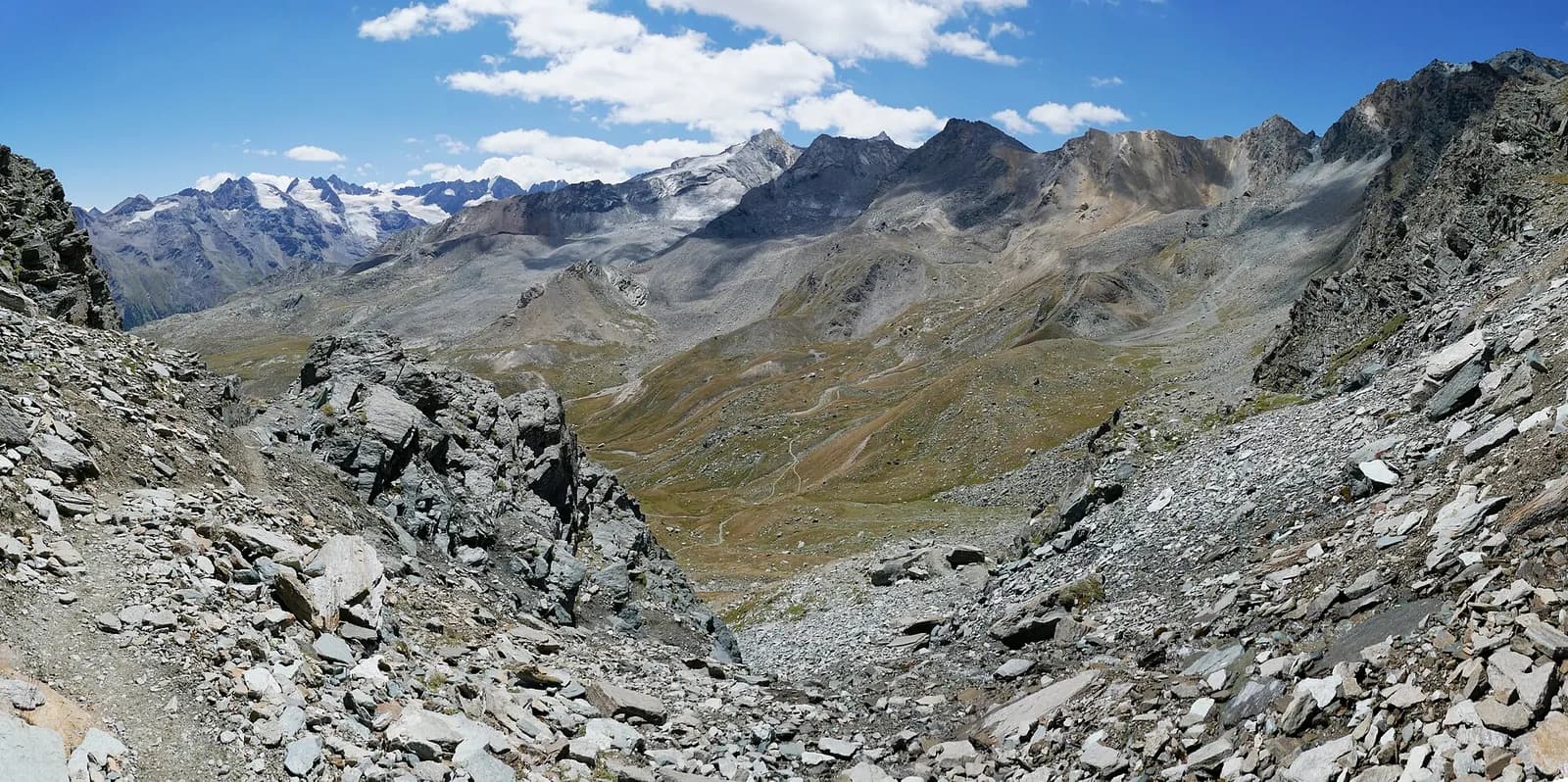
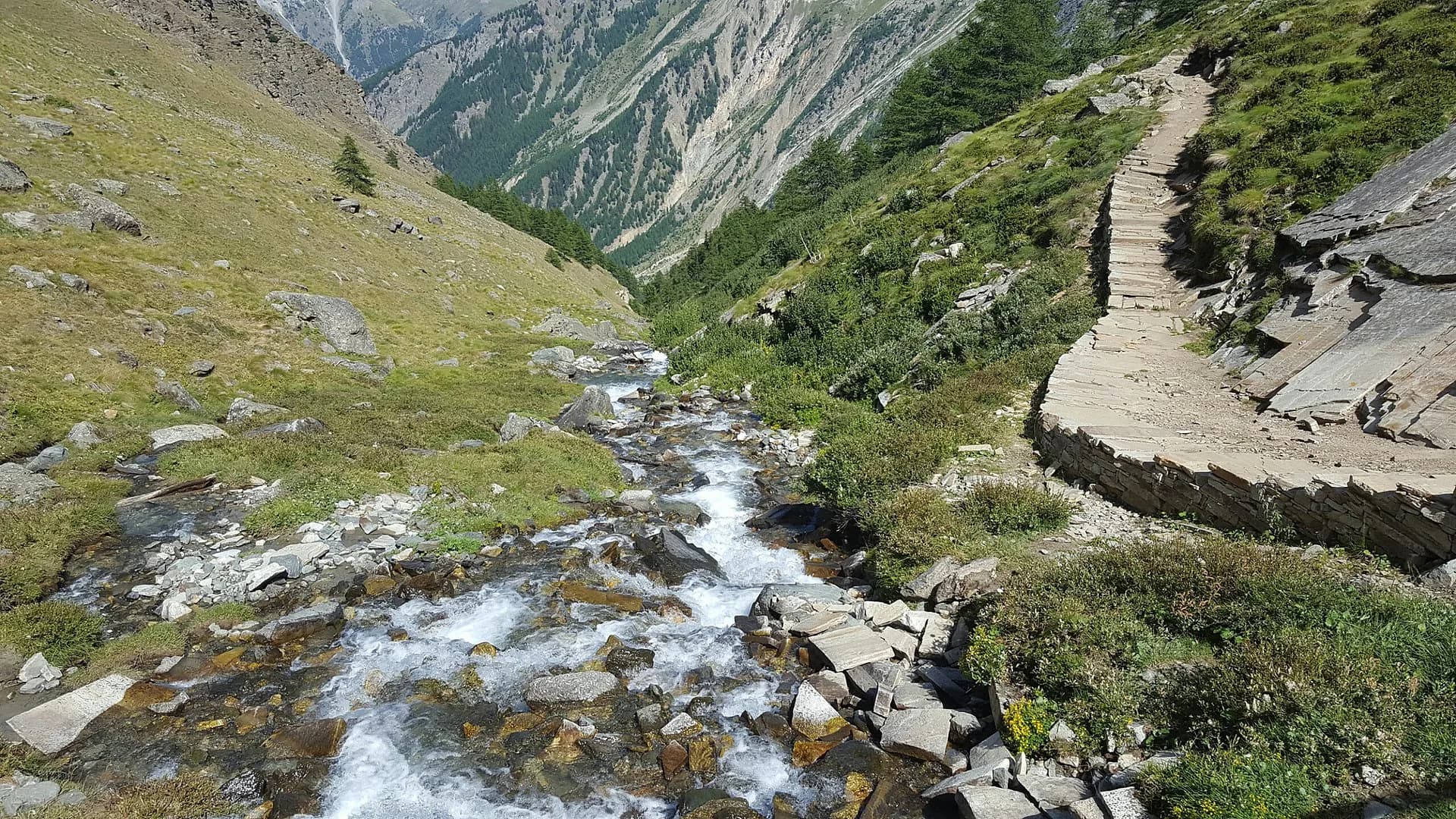
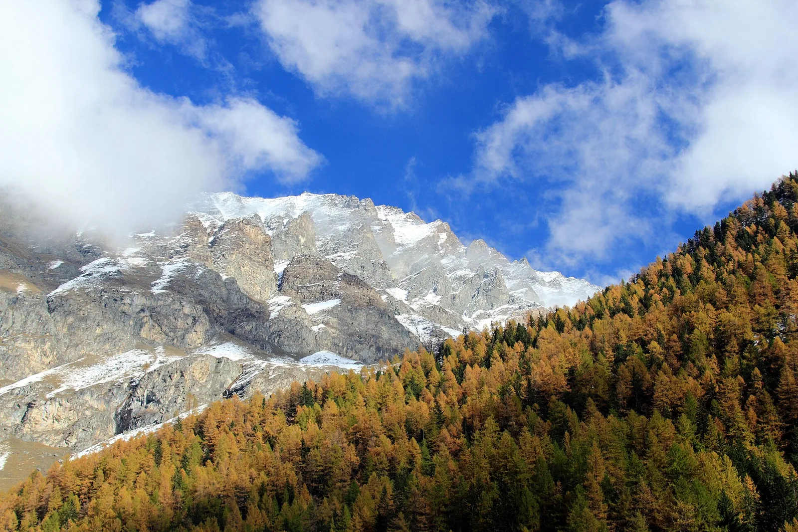
A half-day stage along the Park’s wildest valley floor: from Eaux-Rousses ascend the Valsavarenche through larch woods and clearings, the Gran Paradiso announcing itself above, to the Pont plain (1,960 m), trailhead of the normal route to the summit.
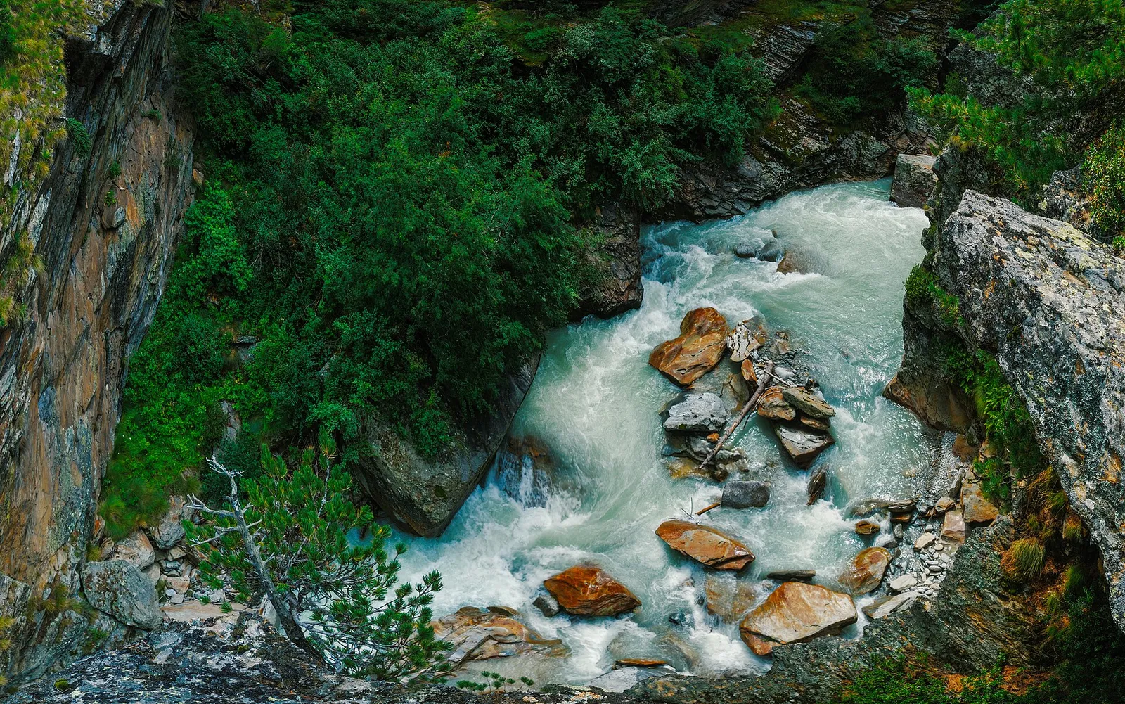
A breather of a day along the Savara stream, in the wildest and least built valley floor of the region: the Valsavarenche is the only Aosta Valley valley to lie entirely inside the Park. The trail alternates larch woods, clearings and old hamlets — Tignet, Bois de Clin, Pravieux — whose stone-slab roofs speak of an architecture born for winter. Ahead, ever closer, the summits of the Gran Paradiso group. Pont, with its flat meadows and two historic hotels, is the base for summit attempts: in the evening it has the feel of an old-time base camp.
Ciencias de la Tierra
Geología y paisaje
Gran Paradiso, like Monte Rosa, is an internal crystalline massif of the Penninic nappes: augen orthogneisses derived from Permian granites, wrapped in a sheath of calcschists with greenstones — metamorphosed ocean floor the tour crosses at the Lauson, Rosset and Entrelor passes. At the Nivolet the plateaus are carved in the softer calcschists, while the Valnontey walls expose the massif’s gneissic core.
Historia y cultura
Valsavarenche is the rangers’ valley: the Park’s surveillance corps (1922), direct heir to the royal gamekeepers, was born here, and the alpine wildlife research centre is based here.
Fuentes de agua
Water at the stage's support points (Eaux Rousses, Pont). On the high ground and at the passes springs are not guaranteed: fill bottles in the valley and at the huts.
Cómo llegar
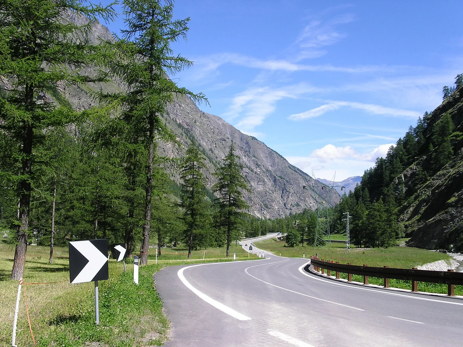
Aosta Valley side served by VITA buses and connections from Aosta; many valley heads have summer shuttles. Check seasonal timetables at arriva.it / vita-vda.com.
Aparcamiento
Galería de fotos
Photos are published immediately. JPG/PNG/WebP, max 6 MB.
Etapas contiguas
AEditado y verificado por Andrea Rama
Fuente de datos: Parco Nazionale Gran Paradiso — rete sentieri ufficiale · Traccia calcolata su rete sentieri OpenStreetMap (ODbL); verificare sul terreno
Última verificación:
Valsavarenche
Senderos relacionados
Mismo valle o rutas similares — más excursiones por descubrir.
Valsavarenche — Val di Cogne
Gran Paradiso Tour — Stage 8: Eaux Rousses → Rifugio Vittorio Sella
The Col Lauson in reverse, the great Levionaz climb.
Valsavarenche
High Route 2 — Stage 8: Eaux-Rousses → Rifugio Vittorio Sella
Highest stage on VdA High Routes: Col du Loson (3296 m) and Rifugio Vittorio Sella.
Valsavarenche
Degioz - Bocconère
2.5 km · +549 m · E — from Degioz to Bocconère (Ayas Valley).
Valsavarenche
Degioz - Orvieille (Pavillon royal de chasse)
5.9 km · +637 m · E — from Degioz to Orvieille (Pavillon royal de chasse) (Ayas Valley).