Valsavarenche — Valle Orco (Piemonte)
Gran Paradiso Tour — Stage 5: Pont → Rifugio Città di Chivasso
Advertencias
- Check the weather: long high-altitude stages with few escape routes
- Book overnight stops in peak season
9.6 km
+710 m
−176 m
4.5 h
Nivel físico
Mapa y ruta
Traza GPX — verifica sobre el terreno antes de caminar
Descripción
Puntos clave
Salida
Pont · 1950 m
Llegada
Rifugio Città di Chivasso · 2599 m
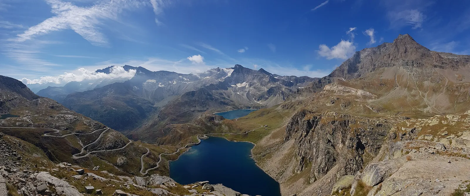
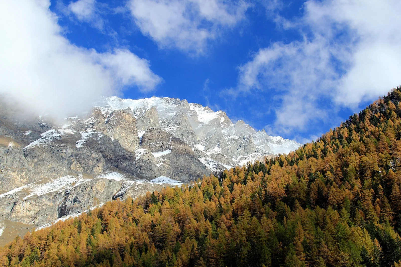
From Pont climb to the wonderful Nivolet plateau, one of the widest high-altitude plains in the Alps, dotted with lakes and peat bogs, to the Col del Nivolet (2,612 m). Minutes beyond the pass, already in Piedmont above the Orco valley and the Ceresole lakes, you overnight at the Città di Chivasso hut (2,604 m).
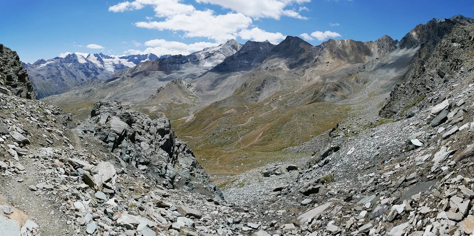
The climb to the Nivolet is a revelation: past the rocky step of the Croix de l’Arolley, the trail emerges onto one of the widest high plateaus in the Alps, where the Dora meanders lazily among peat bogs and lakes. The landscape feels more Scandinavian than alpine, protected and almost flat for kilometres. You pass the Nivolet lakes and the Savoia refuge before the col, where you enter Piedmont: the Città di Chivasso hut, a former customs barracks, overlooks the Serrù and Agnel reservoirs. On summer weekends the Nivolet road below is closed to cars and taken over by cyclists.
Puntos clave
Colle del Nivolet
2612 m · 9.4 km from start
Ciencias de la Tierra
Geología y paisaje
Gran Paradiso, like Monte Rosa, is an internal crystalline massif of the Penninic nappes: augen orthogneisses derived from Permian granites, wrapped in a sheath of calcschists with greenstones — metamorphosed ocean floor the tour crosses at the Lauson, Rosset and Entrelor passes. At the Nivolet the plateaus are carved in the softer calcschists, while the Valnontey walls expose the massif’s gneissic core.
Historia y cultura
The road across the Nivolet plateau, halted in 1963, was meant to link Turin to Courmayeur: its incompleteness saved the plateau, now closed to summer traffic and a laboratory of soft tourism.
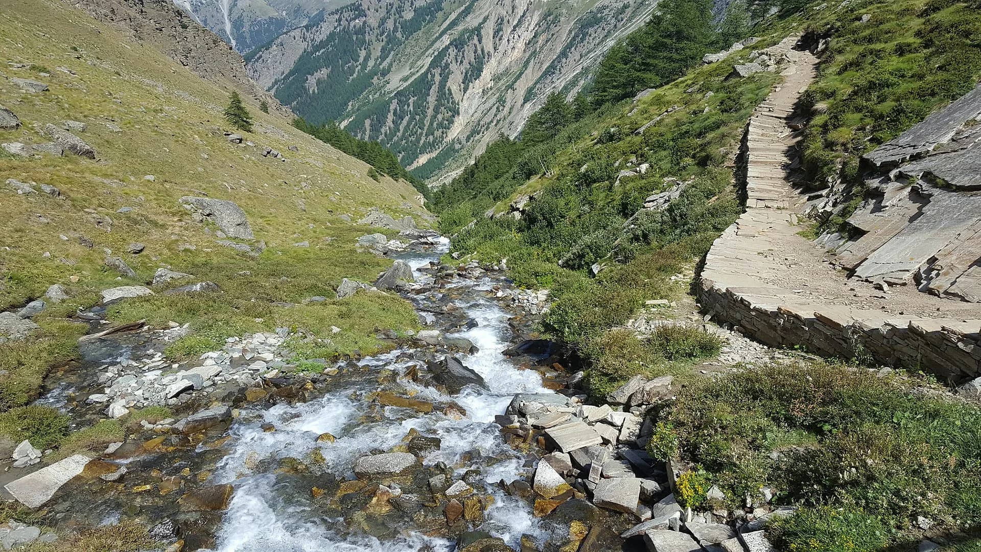
Fuentes de agua
Water at the stage's support points (Pont, Rifugio Città di Chivasso). On the high ground and at the passes springs are not guaranteed: fill bottles in the valley and at the huts.
Cómo llegar
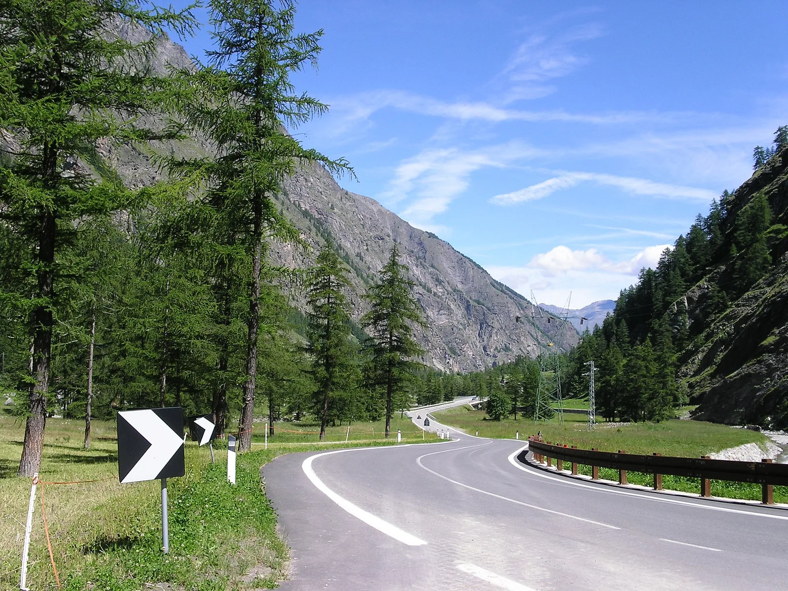
Cross-border stage: on the foreign sides local public transport applies (PostAuto in Switzerland, line buses in France/Piedmont). Check seasonal timetables; in peak season several access links run by reservation only.
Aparcamiento
Galería de fotos
Photos are published immediately. JPG/PNG/WebP, max 6 MB.
Etapas contiguas
AEditado y verificado por Andrea Rama
Fuente de datos: Parco Nazionale Gran Paradiso — rete sentieri ufficiale · Traccia calcolata su rete sentieri OpenStreetMap (ODbL); verificare sul terreno
Última verificación:
Valsavarenche — Valle Orco (Piemonte)
Senderos relacionados
Mismo valle o rutas similares — más excursiones por descubrir.
Valsavarenche — Val di Cogne
Gran Paradiso Tour — Stage 8: Eaux Rousses → Rifugio Vittorio Sella
The Col Lauson in reverse, the great Levionaz climb.
Valsavarenche
High Route 2 — Stage 8: Eaux-Rousses → Rifugio Vittorio Sella
Highest stage on VdA High Routes: Col du Loson (3296 m) and Rifugio Vittorio Sella.
Valsavarenche
Degioz - Bocconère
2.5 km · +549 m · E — from Degioz to Bocconère (Ayas Valley).
Valsavarenche
Degioz - Orvieille (Pavillon royal de chasse)
5.9 km · +637 m · E — from Degioz to Orvieille (Pavillon royal de chasse) (Ayas Valley).