
E
Val d'Ayas
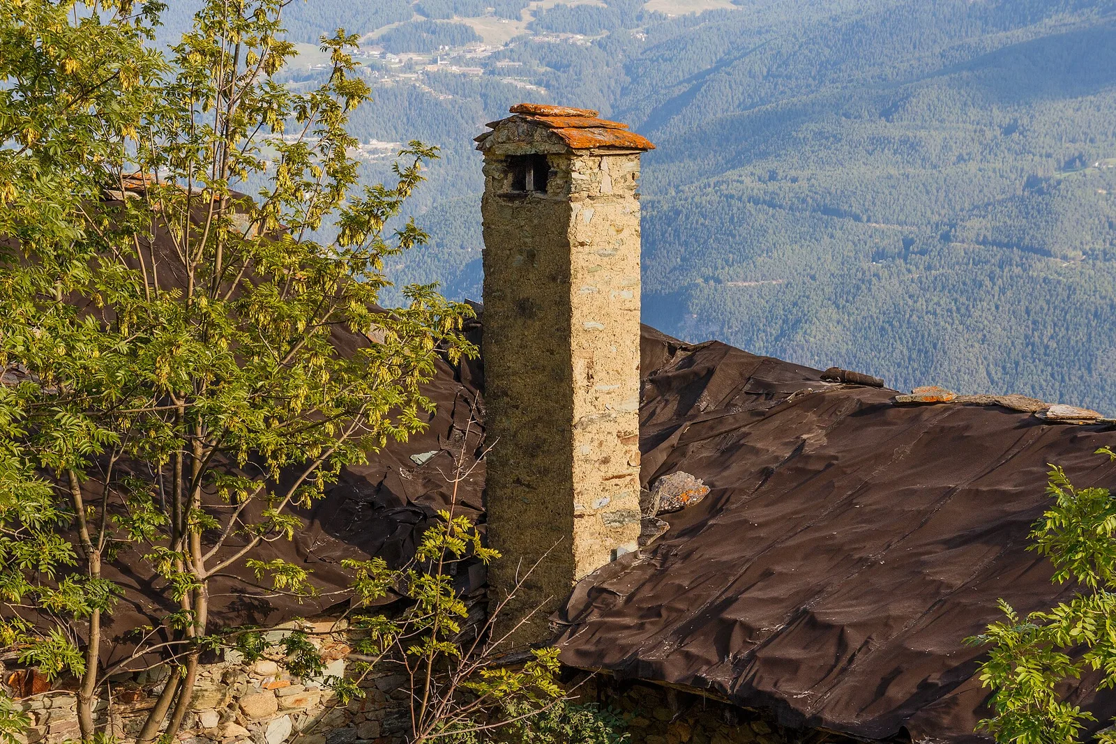
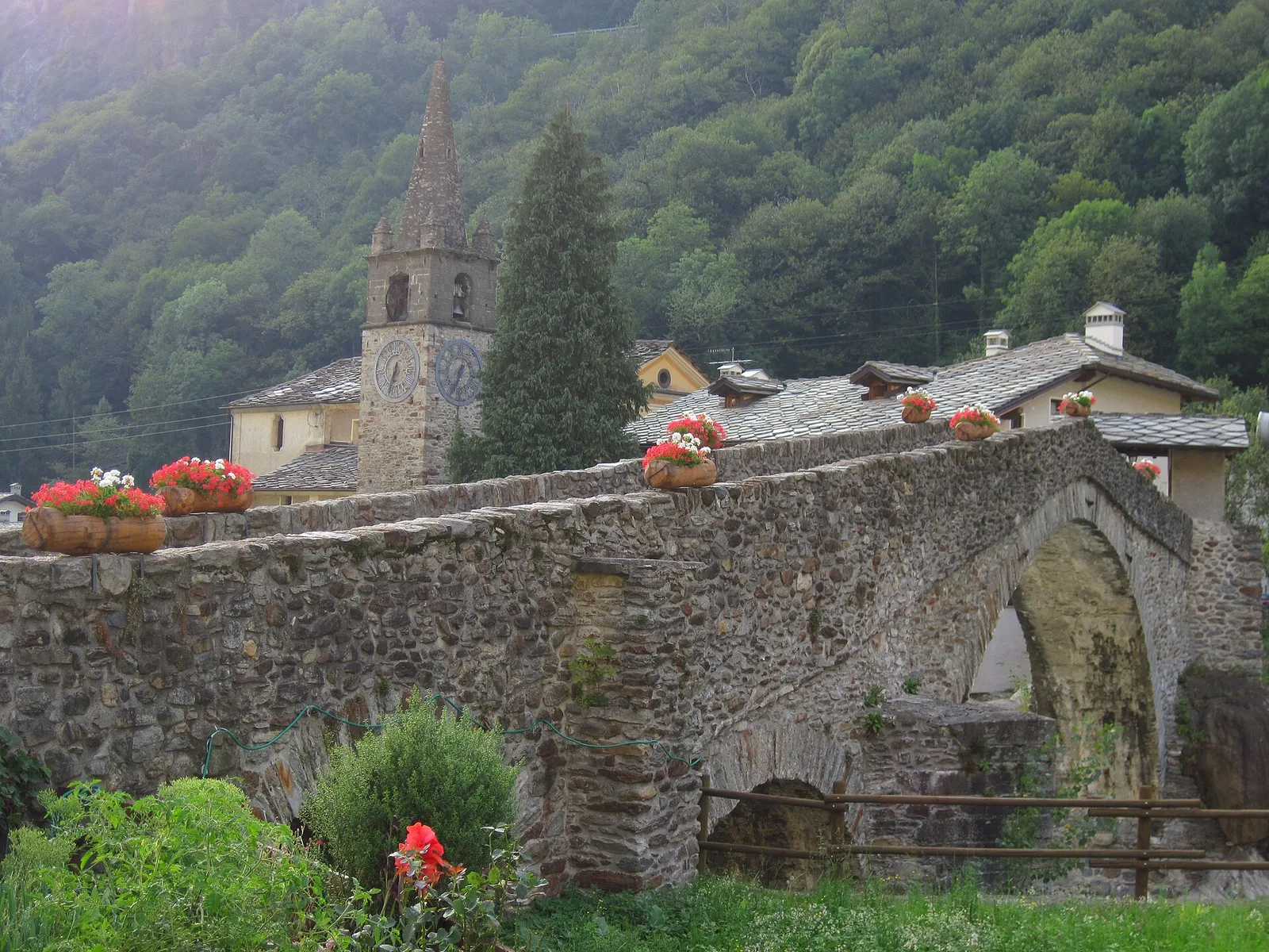
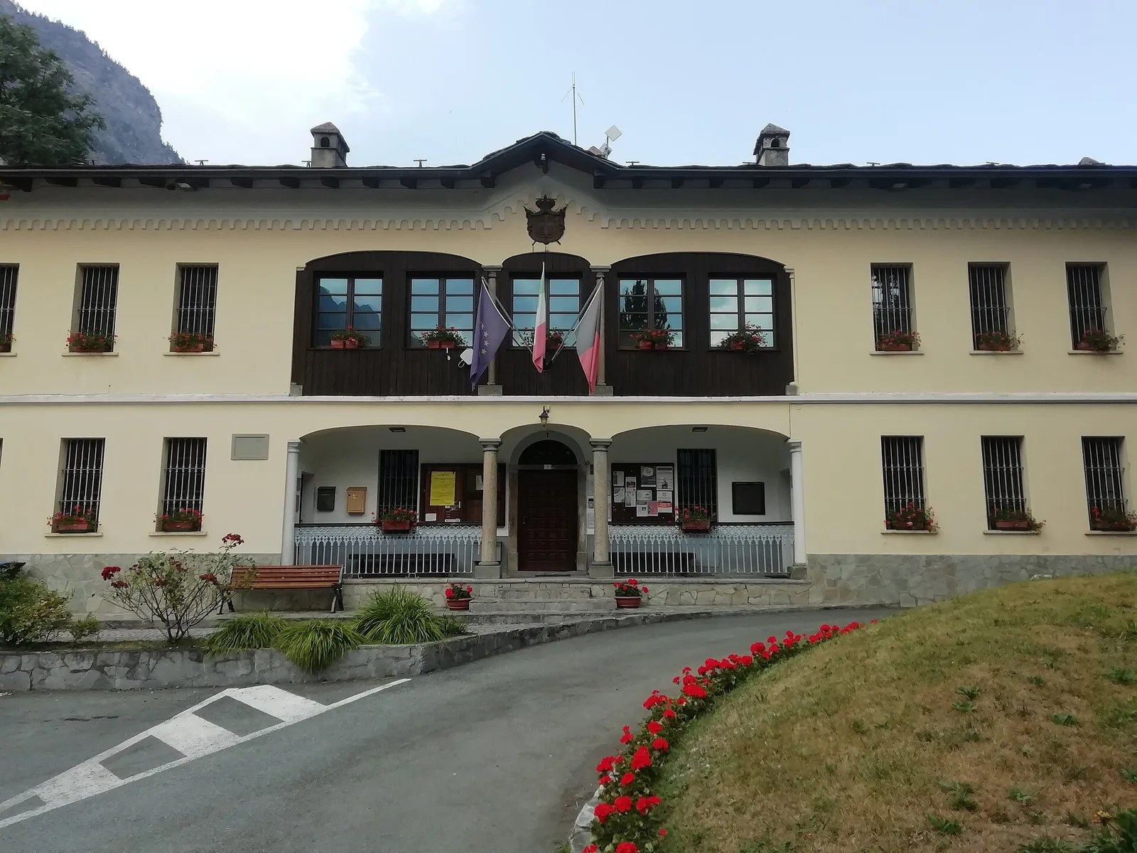
Amponey - Alpe Mascognaz
1.8 km · +309 m · E — from Amponey to Alpe Mascognaz (Central Valley).
1.8 km+309 m1 h
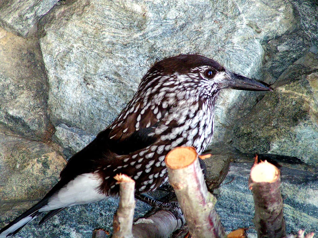
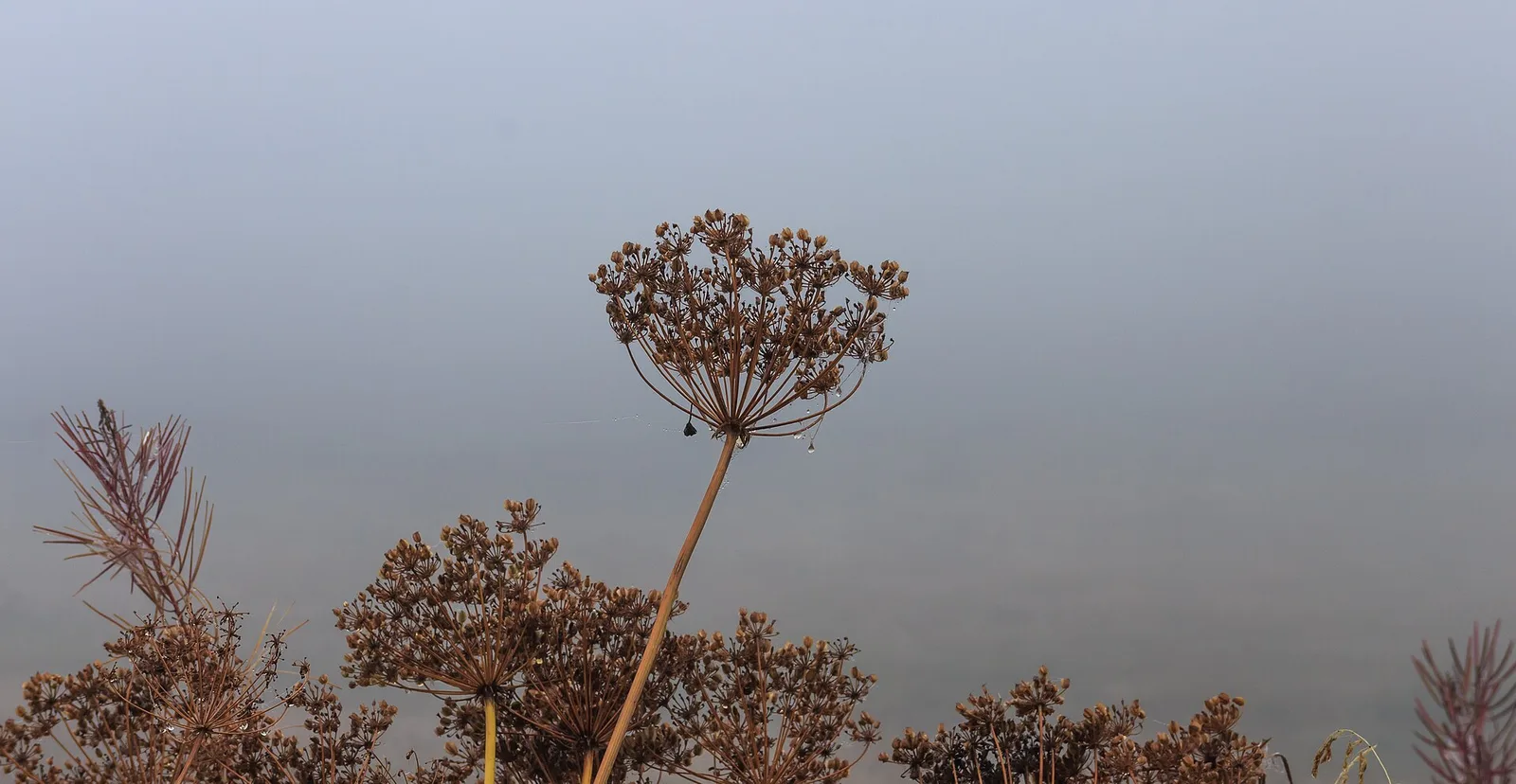
Where to spot
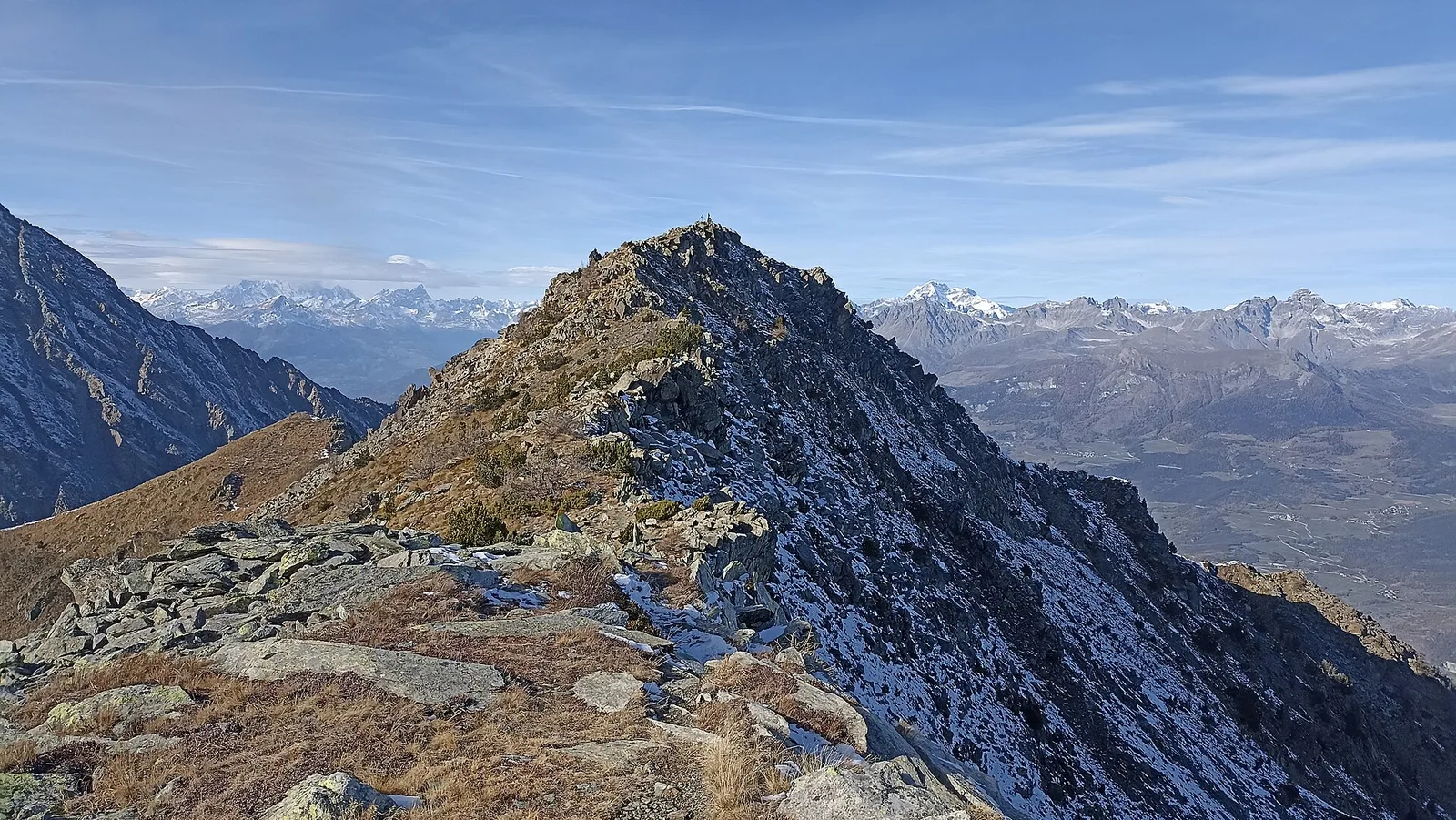
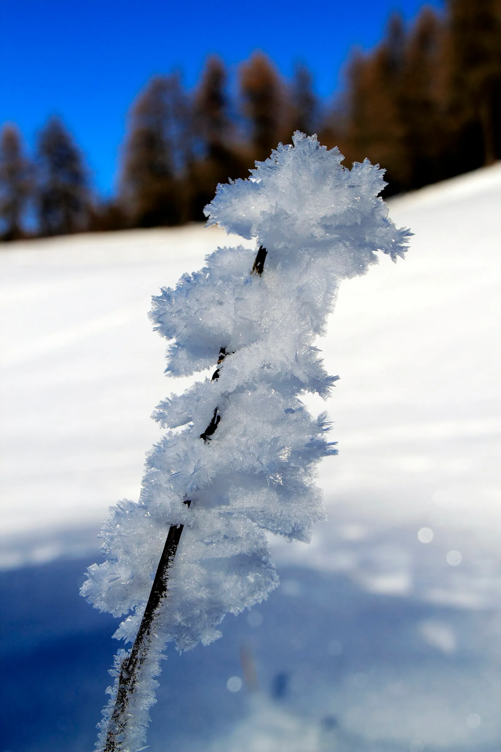
34 trails where Boreal owl is listed in flora/fauna: difficulty T–EEA, elevation gain 0–1546 m.
34 · 1.6–9.0 km · +0–1546 m
Val d'Ayas
1.8 km · +309 m · E — from Amponey to Alpe Mascognaz (Central Valley).

Valle del Lys
8.9 km · +996 m · EEA — from Niel to Niel (Great St Bernard Valley).
Val d'Ayas
1.9 km · +78 m · E — from Arbaz to Mont d'Arbaz (Ayas Valley).
Val Ferret
2.2 km · +291 m · E — from Arp-Nouva to Rif Elena (Great St Bernard Valley).
Valle centrale
From Avise to Cerellaz via Ravoire on the sunny Valdigne hillside: 3 km and 479 m through vineyards, woodland and meadows. Part of the Via Alpina.
Valle centrale
From Aymavilles Moulin (653 m) to Petit Poignon (1562 m) along the Gran Paradiso Park edge: mixed woodland, clearings, and wildlife. 6.2 km, +926 m, E.
Valle centrale
2.5 km · +390 m · E — from Bachaud to Rumiod la Chapelle (Remiod) (Central Valley).
Valle centrale
5.5 km · +786 m · E — from Bellecombe to Alpe Valmeriana (Valdigne).
Valle centrale
3.8 km · +694 m · E — from Blavy to La Bourra (Valpelline).
Valtournenche
In the commune of Antey-Saint-André, Valtournenche: an E-rated route across sunny slopes, hamlets and pastures.
Val d'Ayas
4.5 km · +937 m · EE — from Capiron to Mont Lyan (Central Valley).
Valle centrale
2.6 km · +874 m · E — from Cerise to Bec Tolomon (Lys Valley).
Valsavarenche
2.5 km · +549 m · E — from Degioz to Bocconère (Ayas Valley).

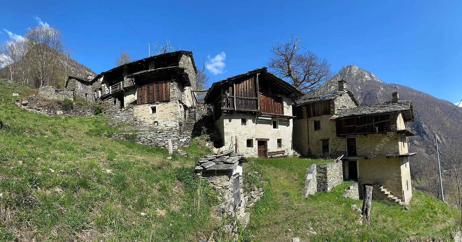
Valle del Gran San Bernardo
From Ville di Allein, an honest climb through pastures and larch woods to the Dortoir Baravex refuge at 1938 m, in the Great St Bernard valley.
Valle di Champorcher
2.9 km · +832 m · EE — from Dublanc to Tete du Mont (Champorcher Valley).
Val d'Ayas
3.5 km · +223 m · E — from Erésaz to Grand Rhun (Great St Bernard Valley).
Valle centrale
4.2 km · +453 m · E — from Fossaz to Cerlogne (Central Valley).
Bassa Valle
4.2 km · +1074 m · E — from La Clévaz to Plan Fiou (Valsavarenche).
Valtournenche
3.7 km · +112 m · T — from Strada dopo Veuillen to Corgnolaz (Valdigne).
Valle del Lys
2.3 km · +592 m · E — from Lillianes to Sainte-Marguerite (Central Valley).
Valle di Champorcher
2.2 km · +442 m · E — from Outre l'Eve to Alpe Monpey (Valtournenche).
Valtournenche
4.8 km · +0 m · E — from Plan to Berzin (Central Valley).
Valle centrale
6.9 km · +1393 m · E — from municipio Pollein to Arpisson (Lys Valley).
Bassa Valle
9 km · +1546 m · E — from Pramotton to Alpe Bonze (Valtournenche).
Valle centrale
1.6 km · +202 m · E — from Remiod (Rumiod) to Grand Sarriod (Central Valley).
Valle di Champorcher
2.9 km · +376 m · EE — from Remoran to Col d'Arcomy (Valtournenche).

Valle del Lys
6.1 km · +1025 m · E — from Rikurt to Muni (Ayas Valley).
Valpelline
4.9 km · +0 m · E — from Vaud to Châtelair (Valpelline).
Valle centrale
2.9 km · +672 m · E — from Sarral to Champromenty (Central Valley).
Valle del Lys
In the commune of Brusson, Val d'Ayas: a route among hamlets and alpine pastures on the sunny slope with valley views.
Val d'Ayas
5.1 km · +1030 m · E — from Eresaz to Tête de Comagne (Great St Bernard Valley).
Valtournenche
4.6 km · +581 m · E — from Triatel to Santuario di Gilliarey (Valpelline).
Valle centrale
From Vedun (1519 m) to Mont-Court de Bard (2170 m): 3.3 km, +652 m, steep consistent climb. Mont Blanc and Vertosan views. Half-day route. E.
Val Veny
3.2 km · +366 m · E — from Visaille to Lago del Miage (Great St Bernard Valley).