Val d’Anniviers — Turtmanntal (Vallese)
Tour of the Matterhorn — Stage 5: Zinal → Gruben
Avisos
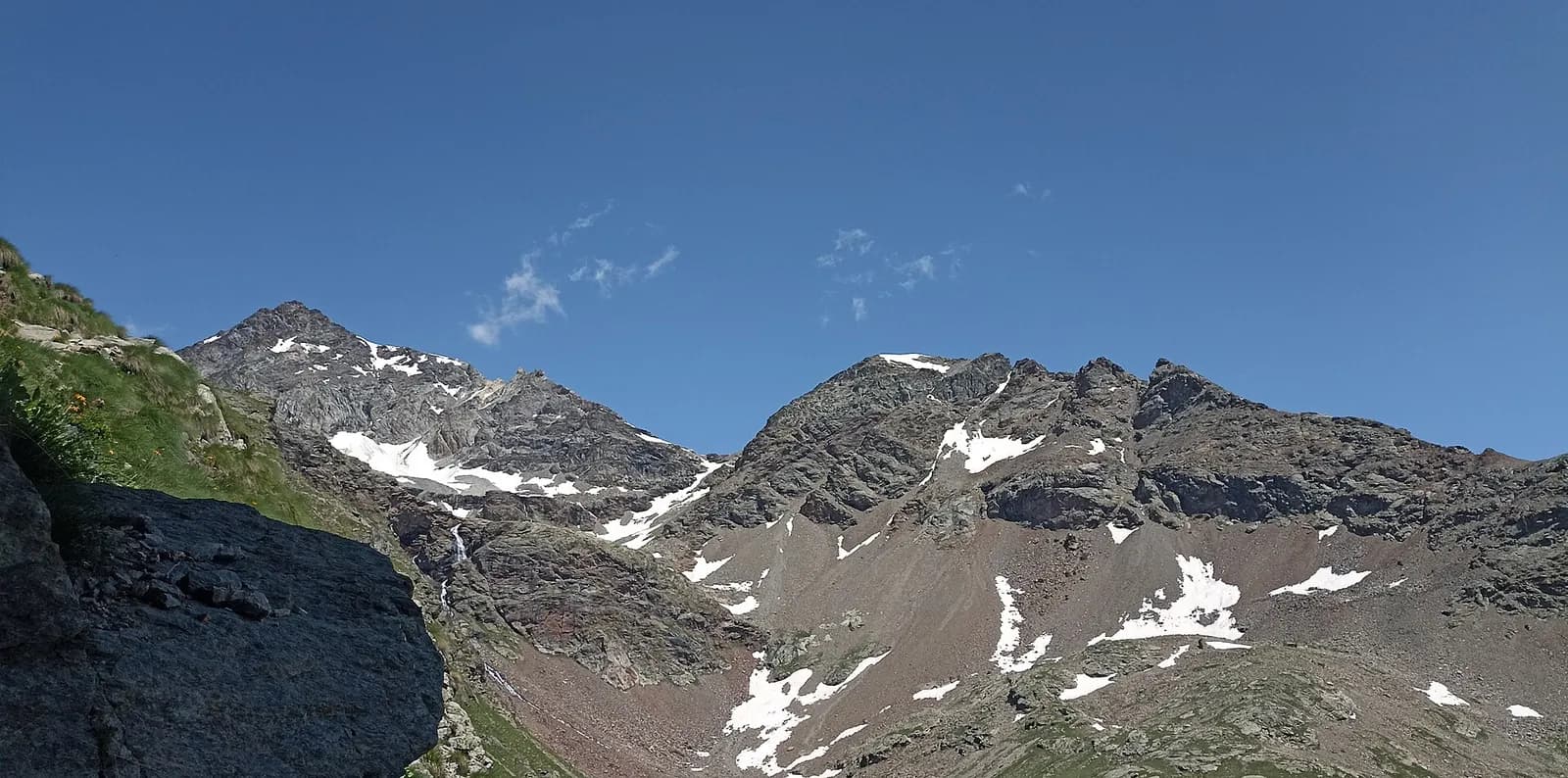
- Snowfields possible on the passes until early July
- Book overnight stops in peak season
16.8 km
+1249 m
−1225 m
9.5 h
Nível físico
Mapa e percurso
Traço GPX — verifique no terreno antes de caminhar
Descrição
Pontos-chave
Partida
Zinal · 1679 m
Chegada
Gruben · 1843 m
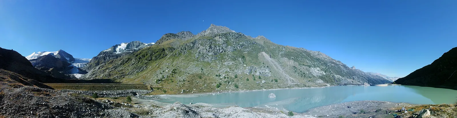
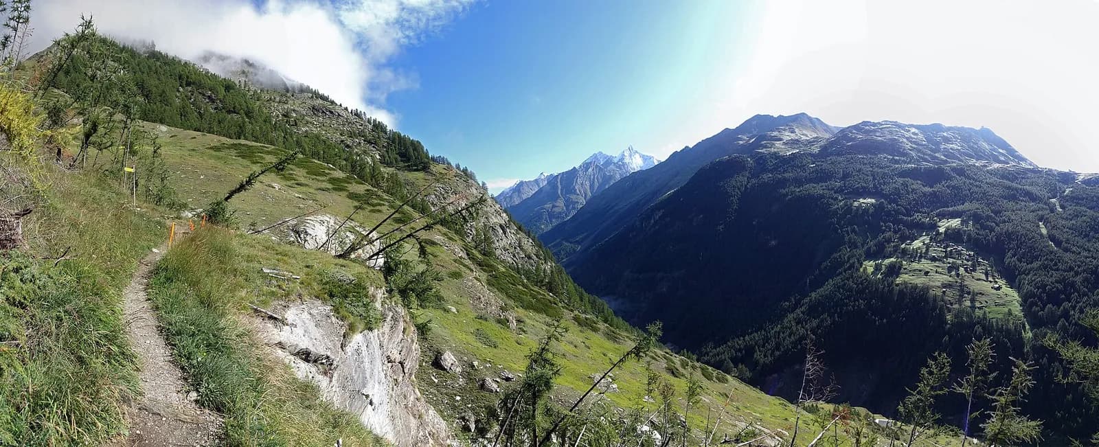
From Zinal climb the Barneuza valley to the Forcletta (2,874 m), the crossing between French- and German-speaking Valais. Descend past the Chalte Berg alps into the Turtmanntal, one of the most secluded valleys in the Alps, to the seasonal village of Gruben (1,822 m).
A linguistic page turns: the Forcletta separates French-speaking from German-speaking Valais, and beyond the pass even the place names change language. The climb from Zinal ascends the pastoral Barneuza valley past working alps that still sell goat’s cheese. The pass is a clean notch in the crest; beyond opens the Turtmanntal, Valais’s “forgotten” valley: no lifts, a single road, and the village of Gruben-Meiden inhabited only in summer, with the Hotel Schwarzhorn as the sole roof for the night. Water at the alps, no other supplies.
Pontos-chave
Forcletta
2874 m · 9.3 km from start
Ciências da Terra
Geologia e paisagem
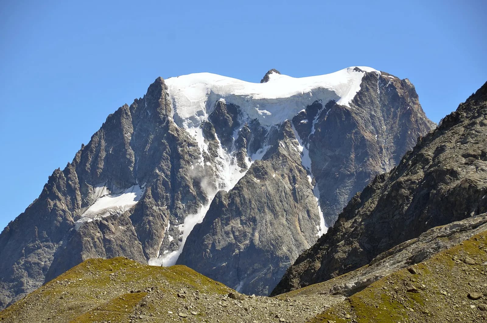
The Matterhorn is the world’s most famous textbook of Alpine geology: its pyramid is a sliver of African continental crust (Dent Blanche nappe, Arolla and Valpelline gneisses) resting on the green ophiolites of the Piedmont-Liguria ocean, visible at its base. The tour walks along this very suture: serpentinites and calcschists in the Cignana and Valcournera valleys, brown gneisses above Zermatt and Arolla.
História e cultura
Zinal was one of mountaineering’s birthplaces: the great first ascents of the 1860s set out for its “imperial crown” of four-thousanders. The Turtmanntal beyond the Forcletta has been summer-only settlement since the Middle Ages.
Pontos de água
Water at the stage's support points (Zinal, Gruben). On the high ground and at the passes springs are not guaranteed: fill bottles in the valley and at the huts.
Como chegar
Cross-border stage: on the foreign sides local public transport applies (PostAuto in Switzerland, line buses in France/Piedmont). Check seasonal timetables; in peak season several access links run by reservation only.
Estacionamento
Galeria de fotos
Photos are published immediately. JPG/PNG/WebP, max 6 MB.
Etapas adjacentes
AEditado e verificado por Andrea Rama
Fonte dos dados: Tour del Cervino / Tour du Cervin — itinerario internazionale · Traccia calcolata su rete sentieri OpenStreetMap (ODbL); verificare sul terreno
Última verificação:
Val d’Anniviers — Turtmanntal (Vallese)
Trilhos relacionados
Mesmo vale ou percursos semelhantes — mais caminhadas para descobrir.
Valtournenche — Valpelline
Tour of the Matterhorn — Stage 1: Breuil-Cervinia → Rifugio Prarayer
The Valcournera pass, a stern gateway to the Valpelline.
Valpelline — Val d’Hérens
Tour of the Matterhorn — Stage 2: Rifugio Prarayer → Arolla
The Col Collon: an alpine transfer over the glacier, as in the Middle Ages.
Val d’Hérens (Vallese)
Tour of the Matterhorn — Stage 3: Arolla → Les Haudères
Active rest in the Val d’Hérens, among arolla pines and timber villages.
Mattertal (Vallese)
Tour of the Matterhorn — Stage 7: St. Niklaus → Zermatt
Along the Vispa to the Matterhorn’s village.