Anello di Tzère
Map & route
GPX track — verify on the ground before hiking
Fitness level
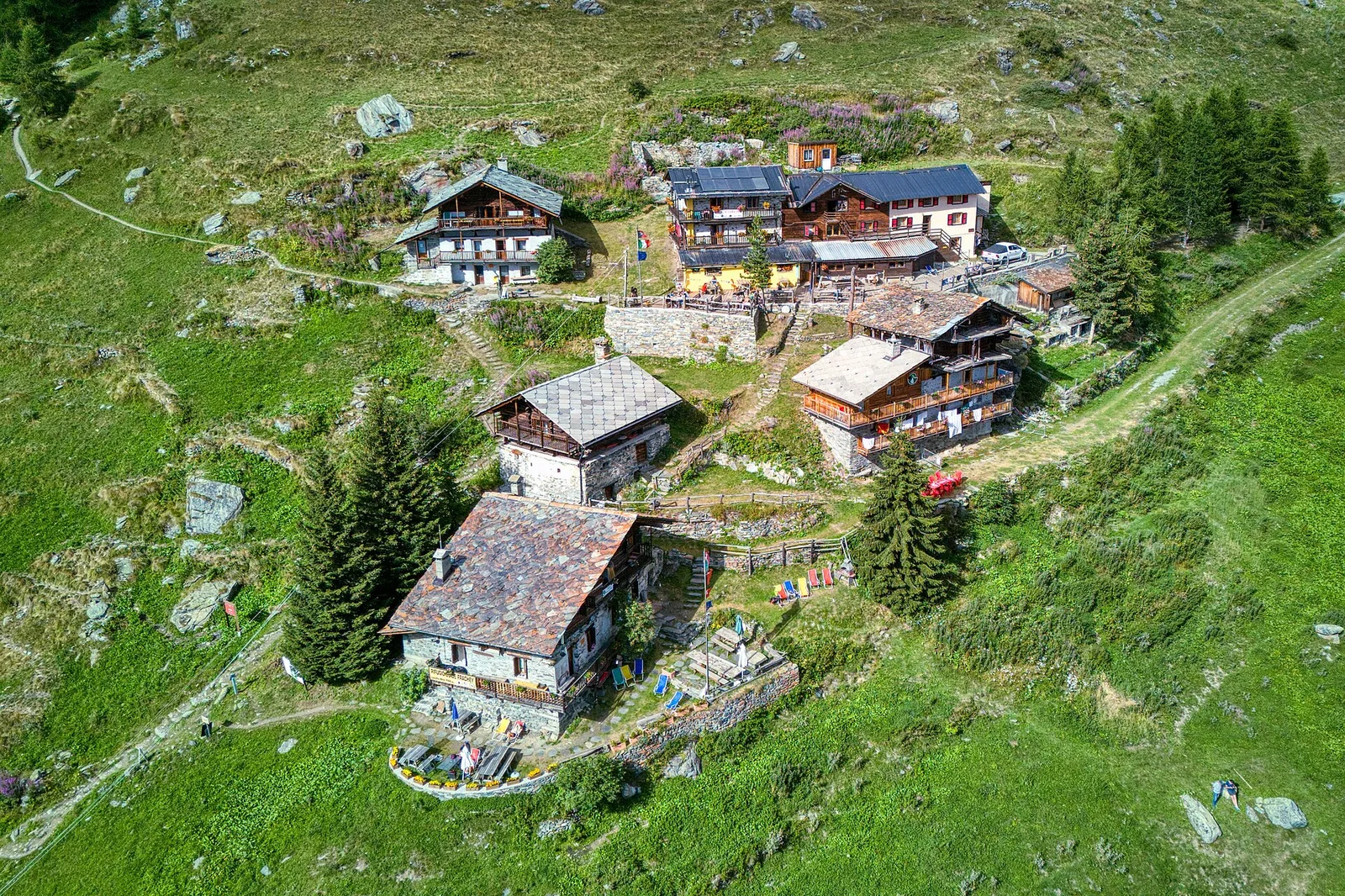
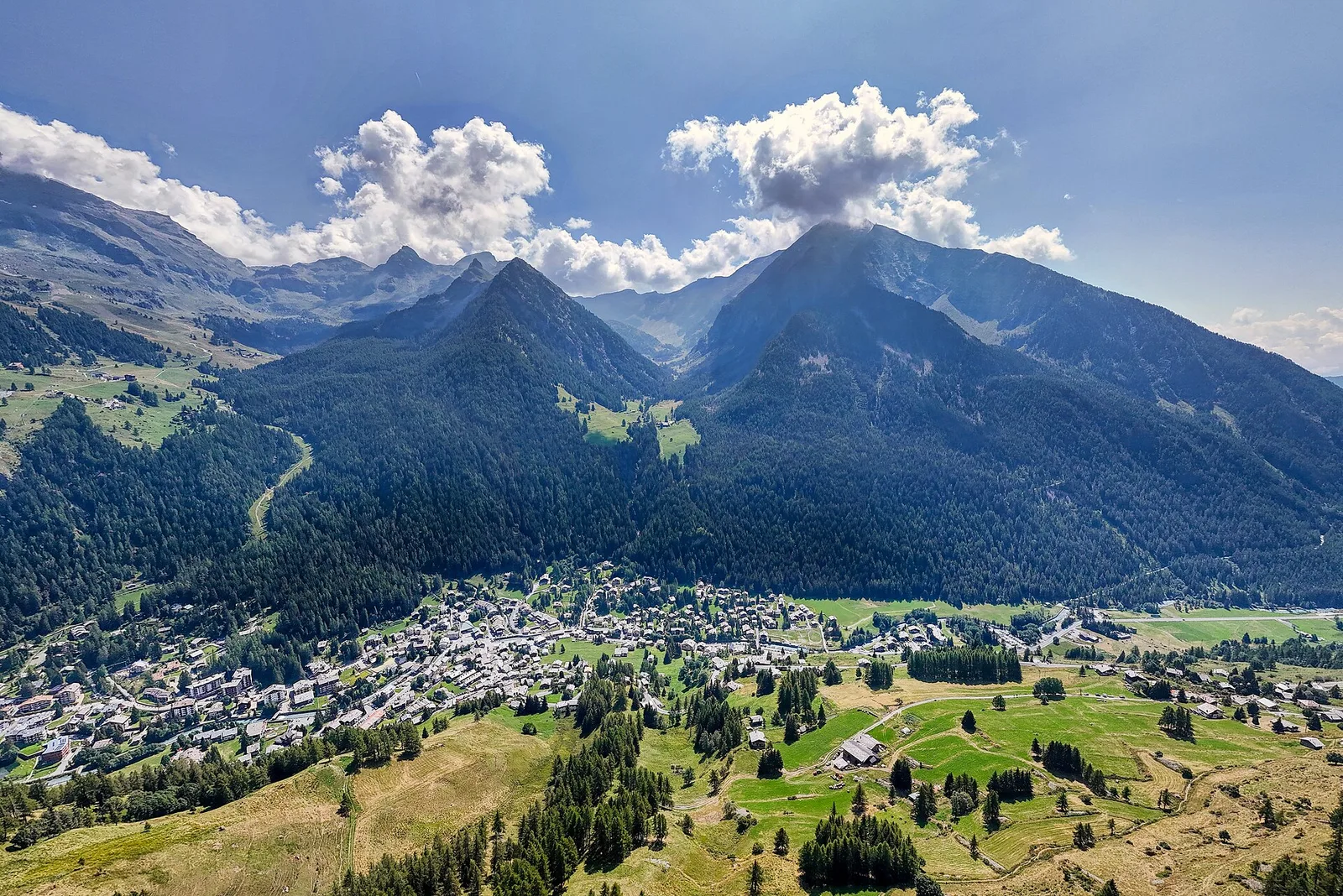
The Tzère loop is one of Val d'Ayas's most rewarding circular walks, starting and finishing at Blanchard (1731 m) over 6.2 km with 956 metres of total ascent. The trail climbs quickly onto the broad high pastures of the Tzère area, where summer grazing herds and stone hay barns create a timeless alpine scene. Open views across the mid-valley and surrounding ridges reward the effort throughout. Mostly grassy terrain with some well-defined track sections. Rated E; sturdy walking boots recommended.
Getting there
Parking
Photo gallery
Photos are published immediately. JPG/PNG/WebP, max 6 MB.
Flora along the trail
Wildlife to spot
ACurated and verified by Andrea Rama
Data source: Catasto Sentieri Regione Autonoma VdA · Open data — DGR 899/2014
Last verified:
Val d'Ayas
Related trails
Same valley or similar routes — more hikes to explore.
Val d'Ayas
Amponey - Becca Trecare
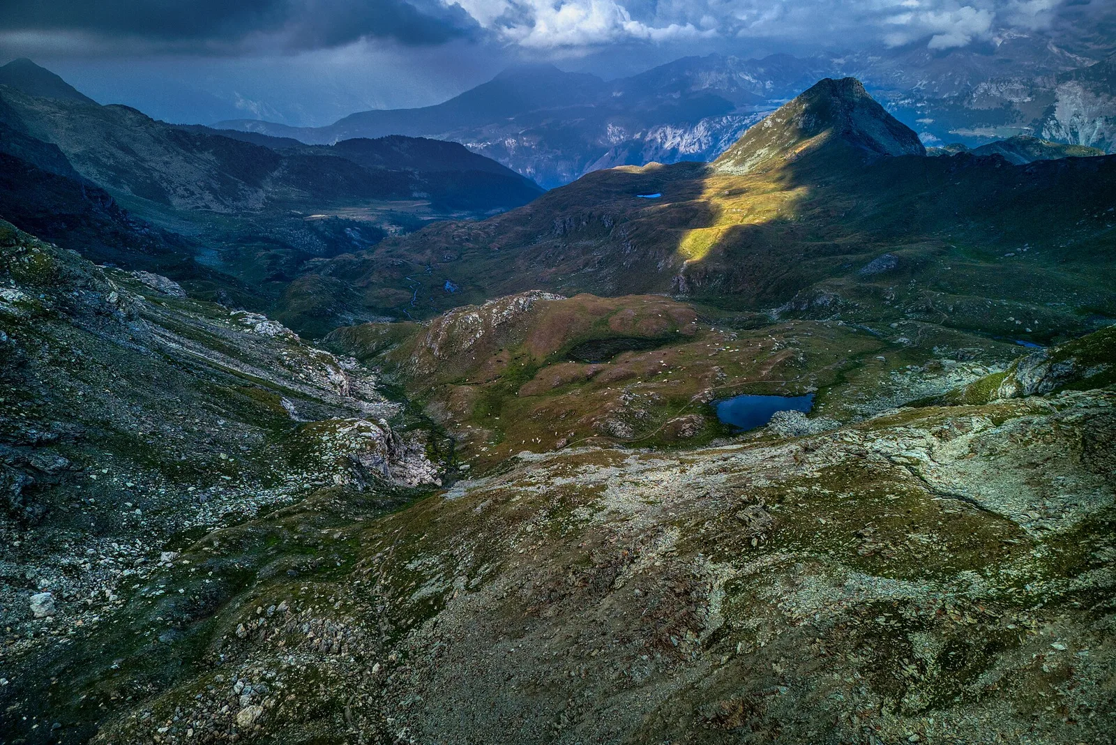
A demanding EE ascent from Amponey to Becca Trecare at 3032m — nearly 1500m of gain on varied terrain with sweeping summit views.
Val d'Ayas
Amponey - Alpe Mascognaz
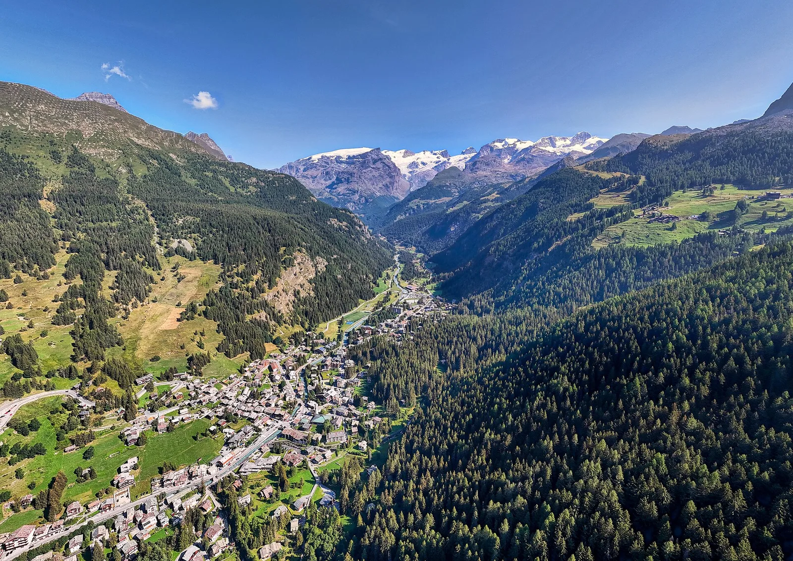
1.8 km · +309 m · E — from Amponey to Alpe Mascognaz (Central Valley).
Val d'Ayas
Amponey - Bec de Nannaz
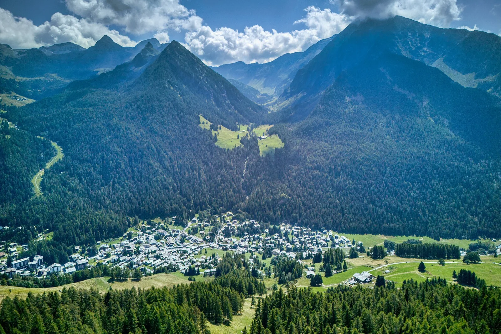
In the Val d'Ayas, Ayas: an E-rated climb toward a high-altitude objective through pastures and rock with views of Monte Rosa.
Val d'Ayas
Amponey - Mont Facebelle
In the Val d'Ayas, Ayas: an E/EE-rated climb toward a high-altitude objective in the alpine landscape.