E
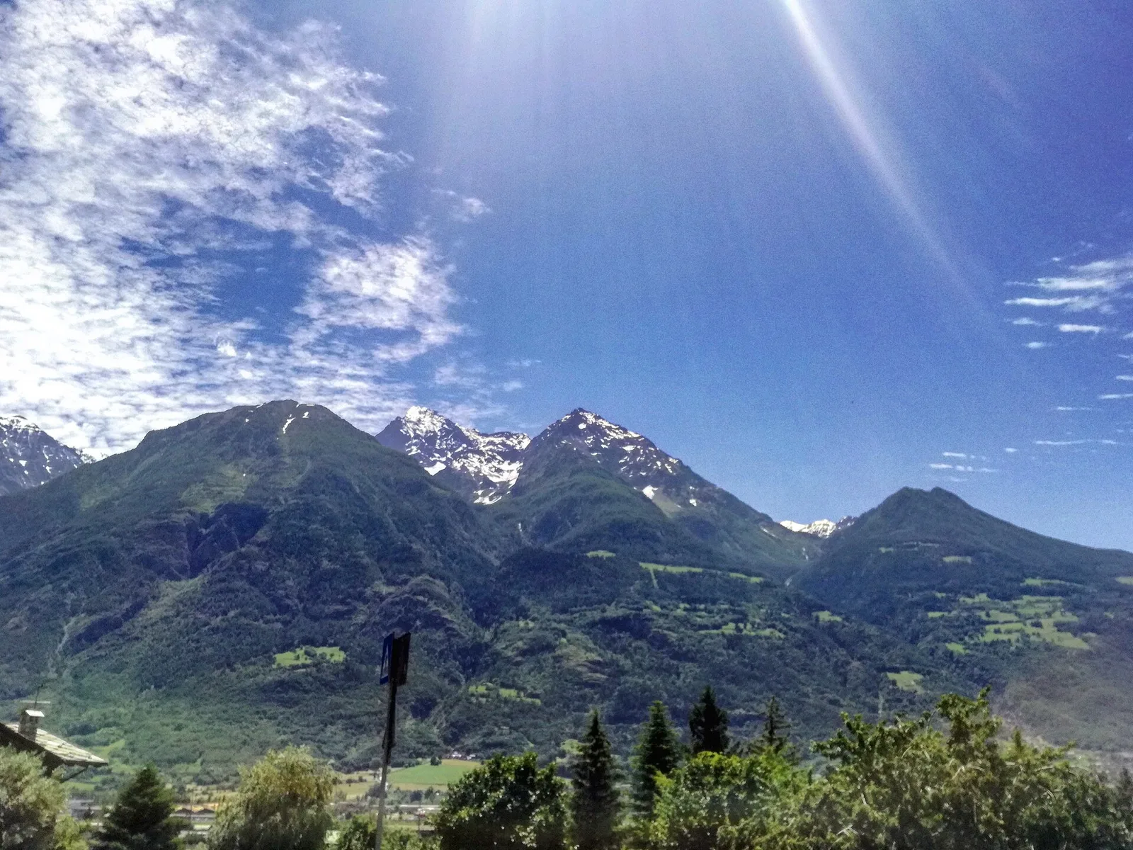
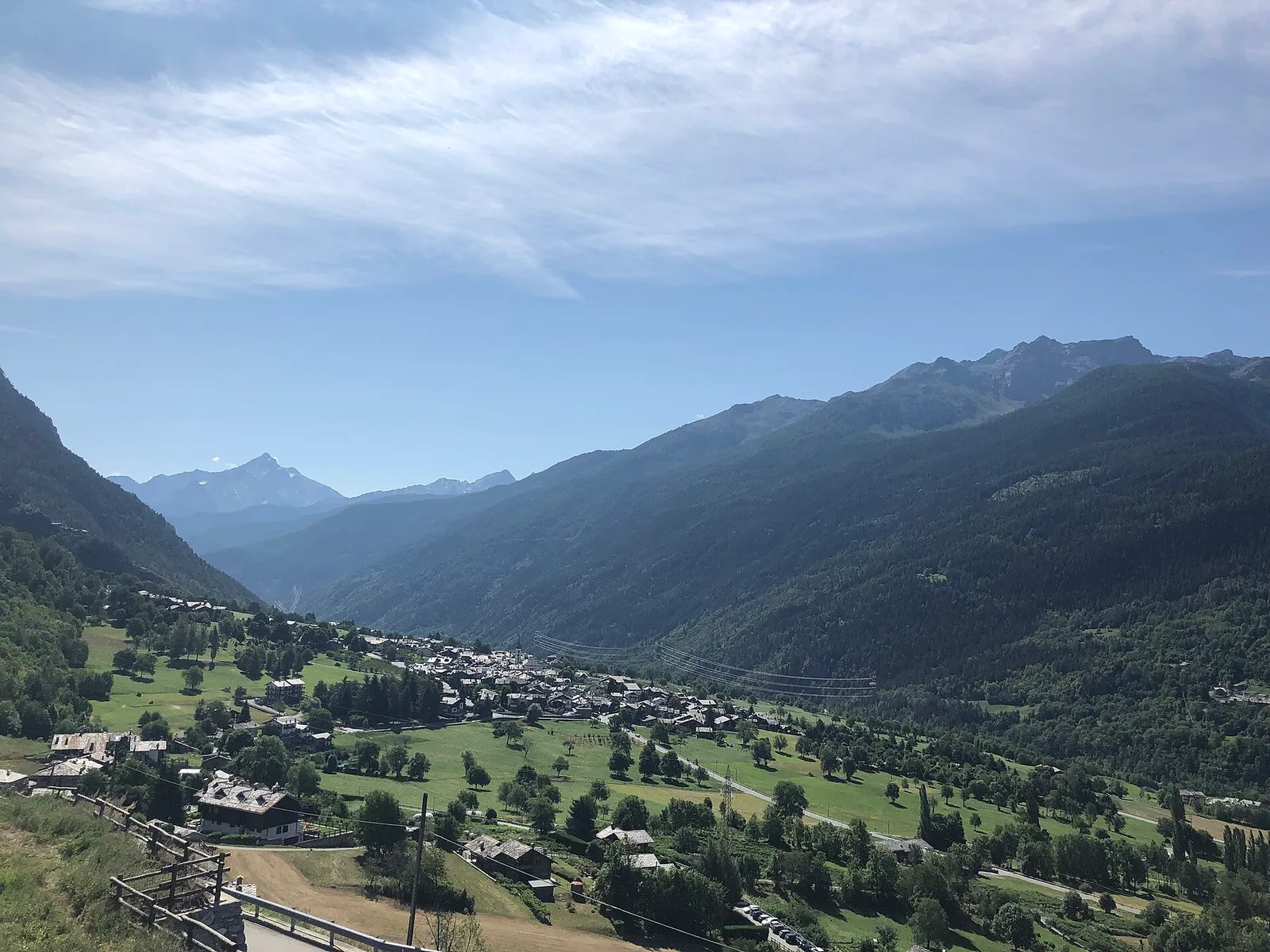
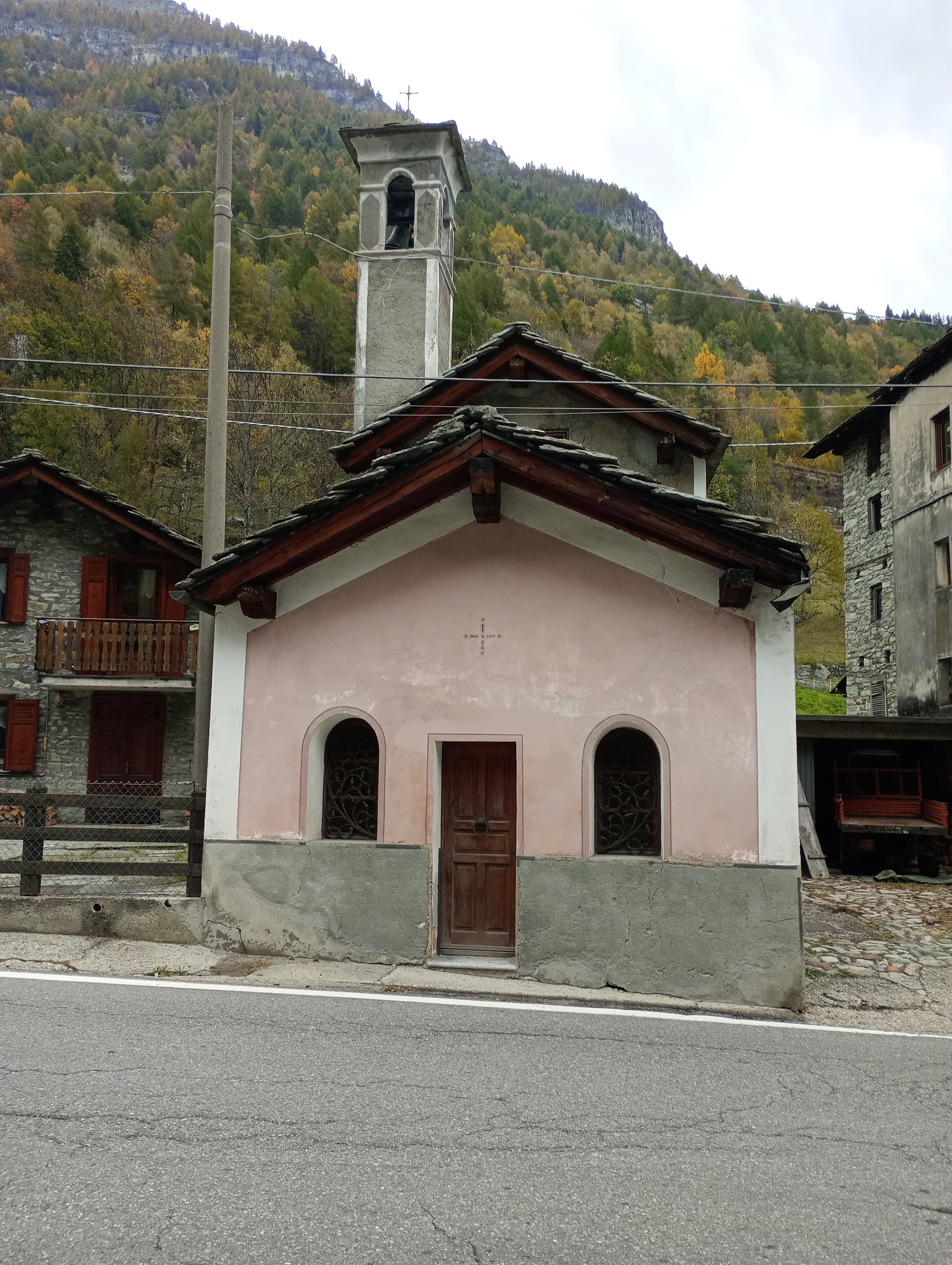
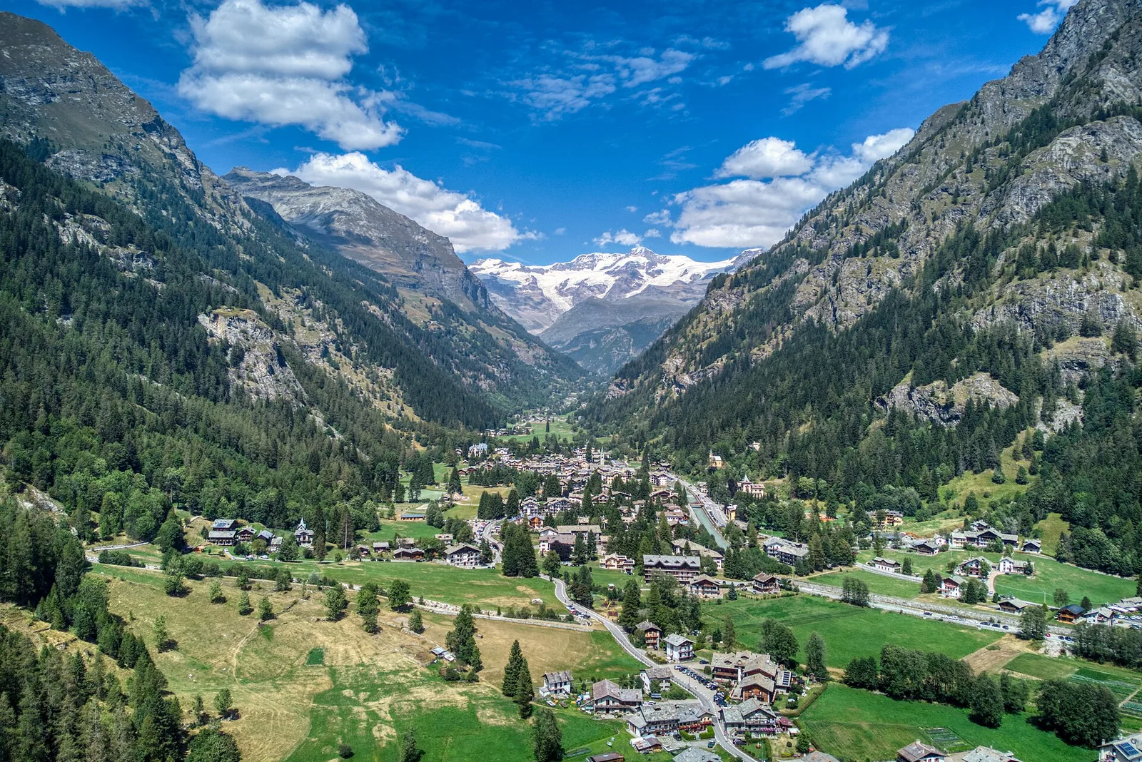
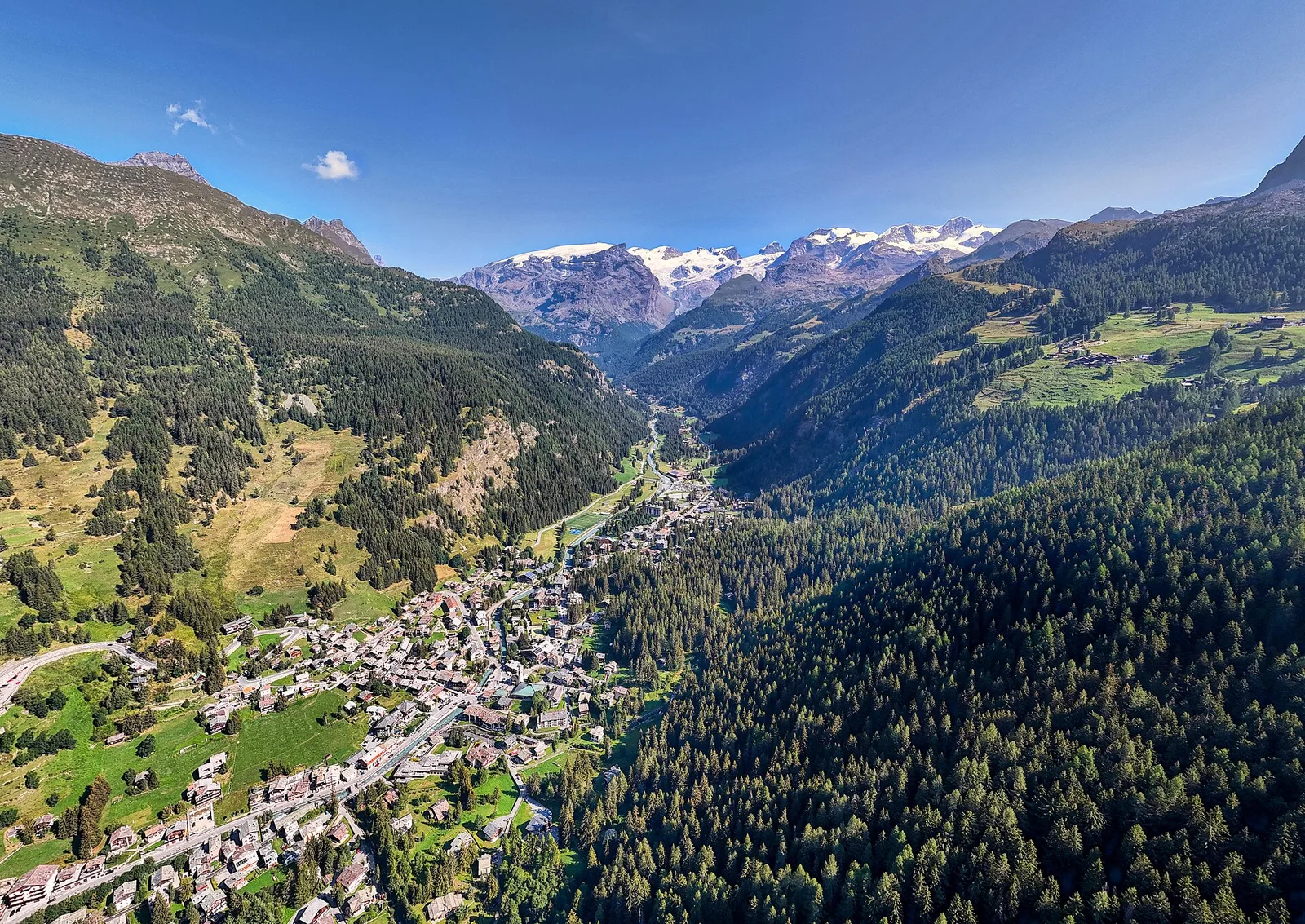
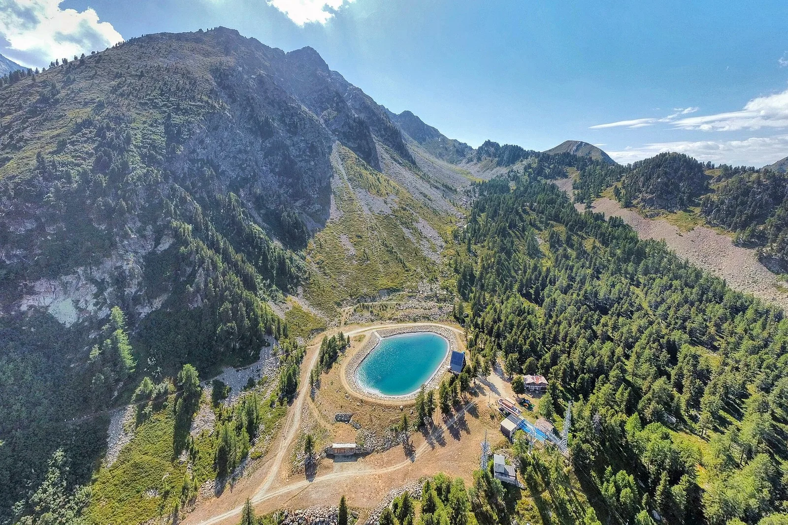
Val d'Ayas
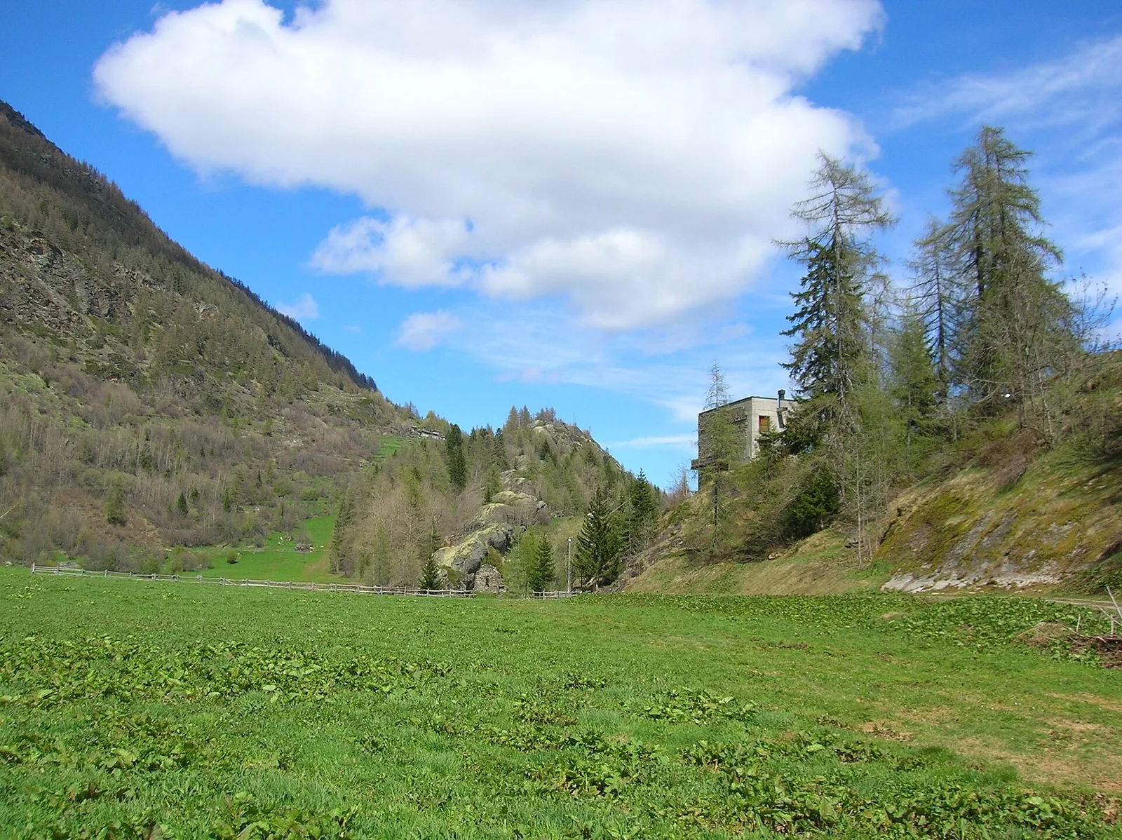
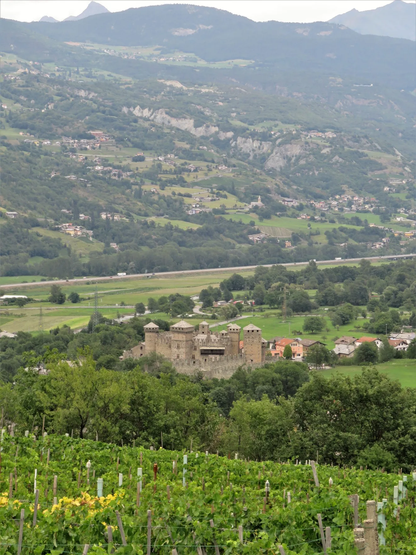
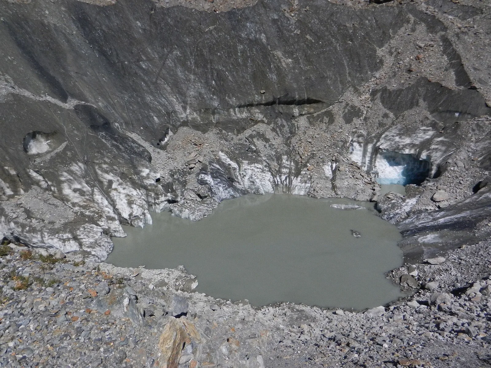
Arbaz - Miniera di Bechaz
1.6 km · +137 m · E — from Arbaz to Miniera di Bechaz (Ayas Valley).
1.6 km+137 m0.5 h
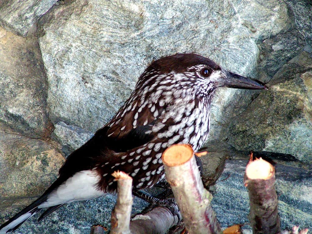
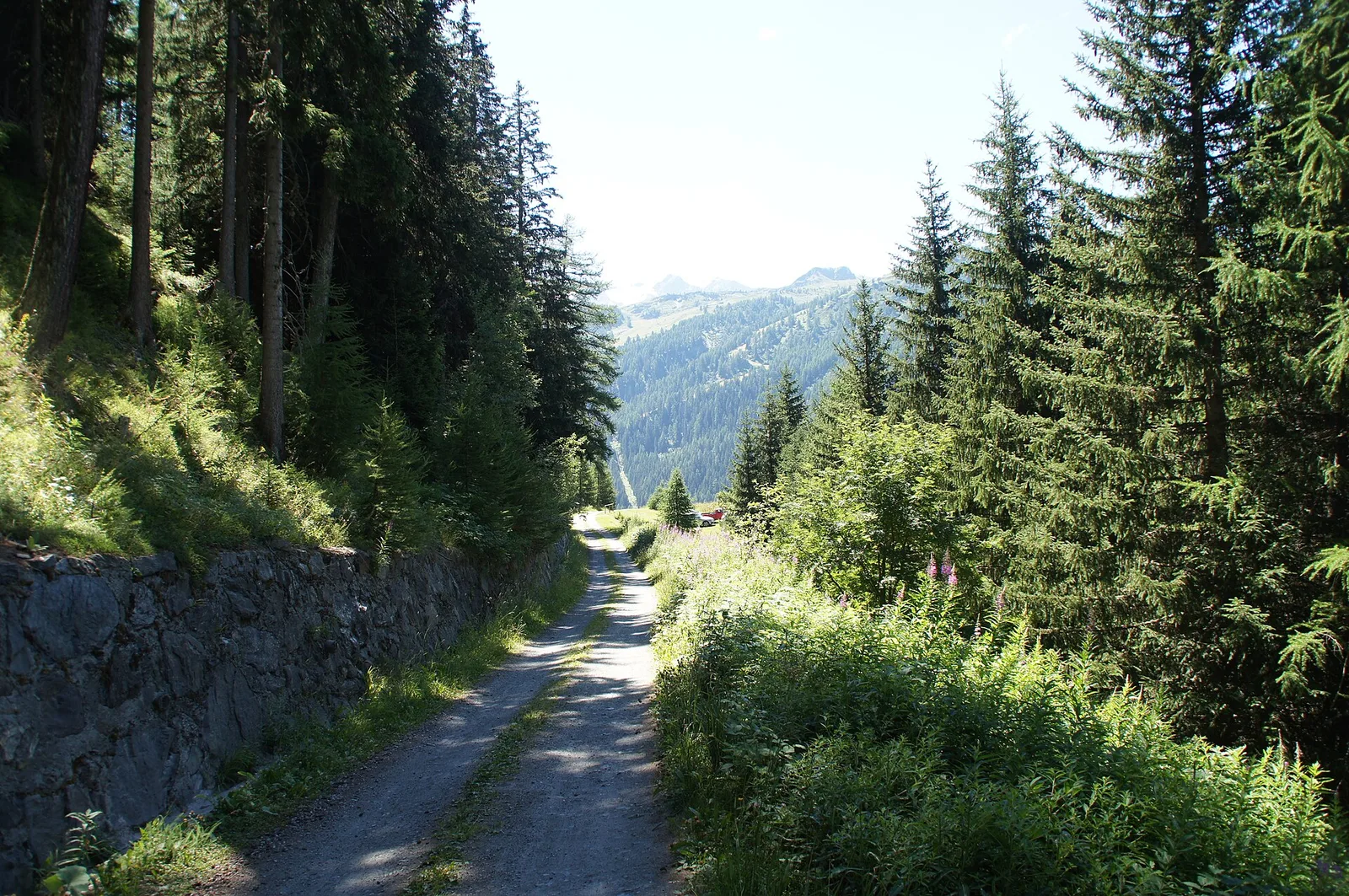
Where to spot
45 trails where Narcissus anemone is listed in flora/fauna: difficulty T–EE, elevation gain 0–1603 m.
45 · 0.8–11.1 km · +0–1603 m
Val d'Ayas
1.6 km · +137 m · E — from Arbaz to Miniera di Bechaz (Ayas Valley).
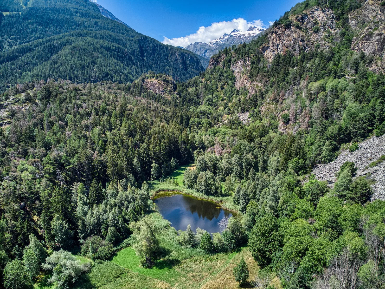
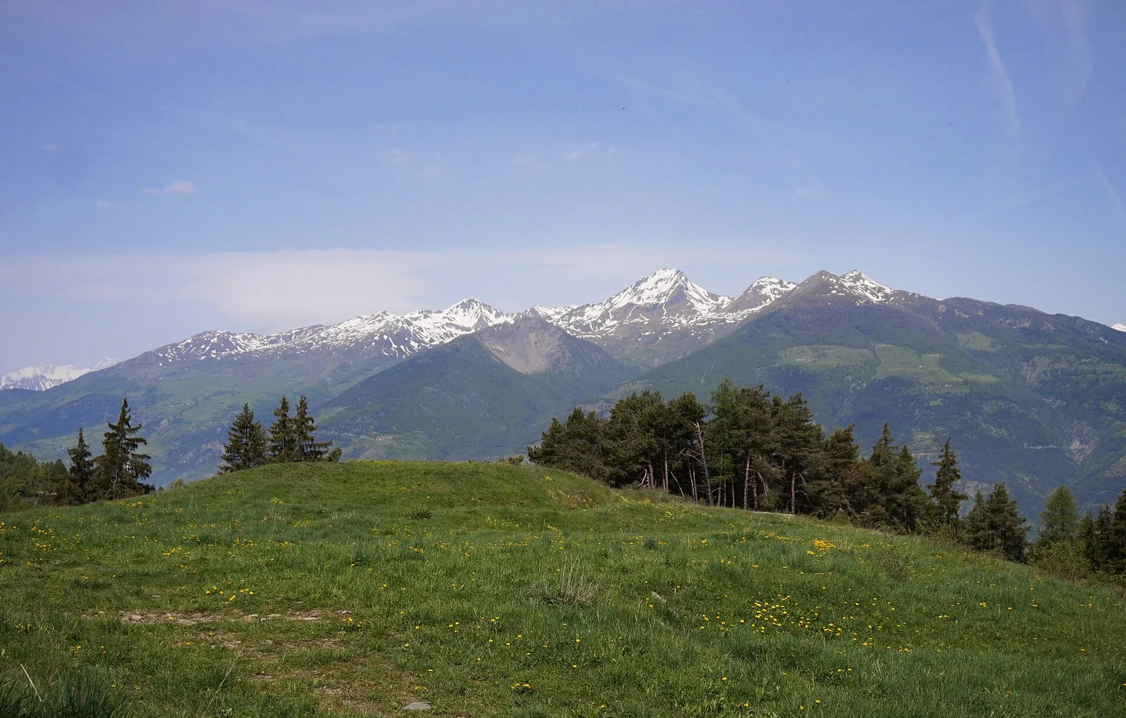
Valle centrale
A short, gentle climb from Baulin to Mont Colombo, a modest wooded rise with a view over the central valley, above Avise.
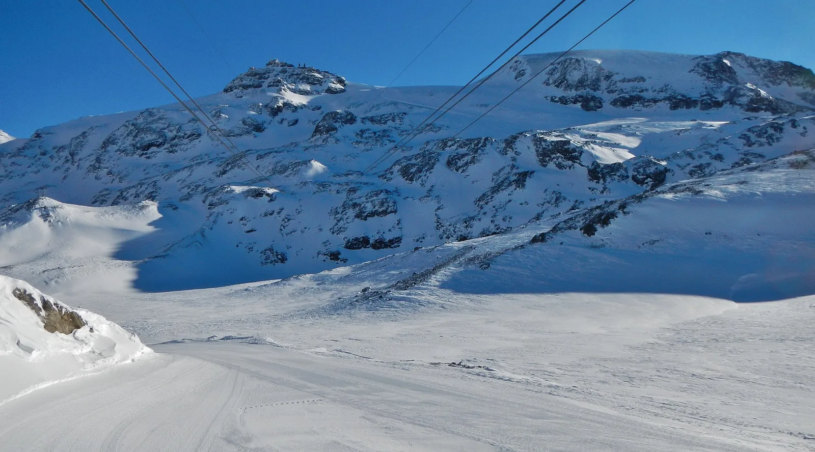
Valtournenche
1 km · +136 m · E — from Breuil to Cielo Alto (Central Valley).
Valtournenche
2.2 km · +371 m · E — from Champtorné to Collet (Valpelline).
Valle centrale
6.7 km · +1328 m · E — from Chenière to Arpisson (Lys Valley).
Valle centrale
7.2 km · +1539 m · EE — from Cloutraz to Col Giron (Valdigne).
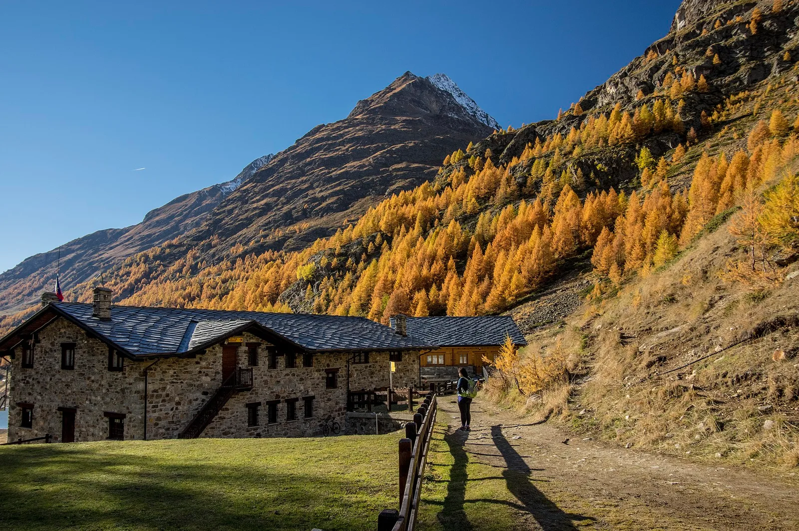
Val d'Ayas
From Crest (1976 m) a short steady climb reaches Lac Chercherioz (2354 m), an alpine lake among meadows and rock in the commune of Avise.

Valle del Gran San Bernardo
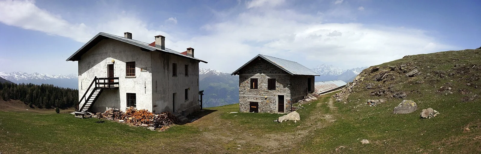
From Ville di Allein, an honest climb through pastures and larch woods to the Dortoir Baravex refuge at 1938 m, in the Great St Bernard valley.
Valle di Champorcher
2.9 km · +832 m · EE — from Dublanc to Tete du Mont (Valtournenche).
Valle centrale
4.8 km · +623 m · E — from Echarlod to Morges (La Thuile).
Valle centrale
3.3 km · +594 m · E — from Ermitage de Saint-Grat to Col Replan (Cogne Valley).
Valle centrale
3.5 km · +774 m · E — from Etavel to Combelin (Central Valley).
Valsavarenche
5.1 km · +233 m · T — from Fenille to Degioz (Ayas Valley).
Valle del Lys
2.7 km · +496 m · E — from Gaby to Bounitzon (Great St Bernard Valley).
Valgrisenche
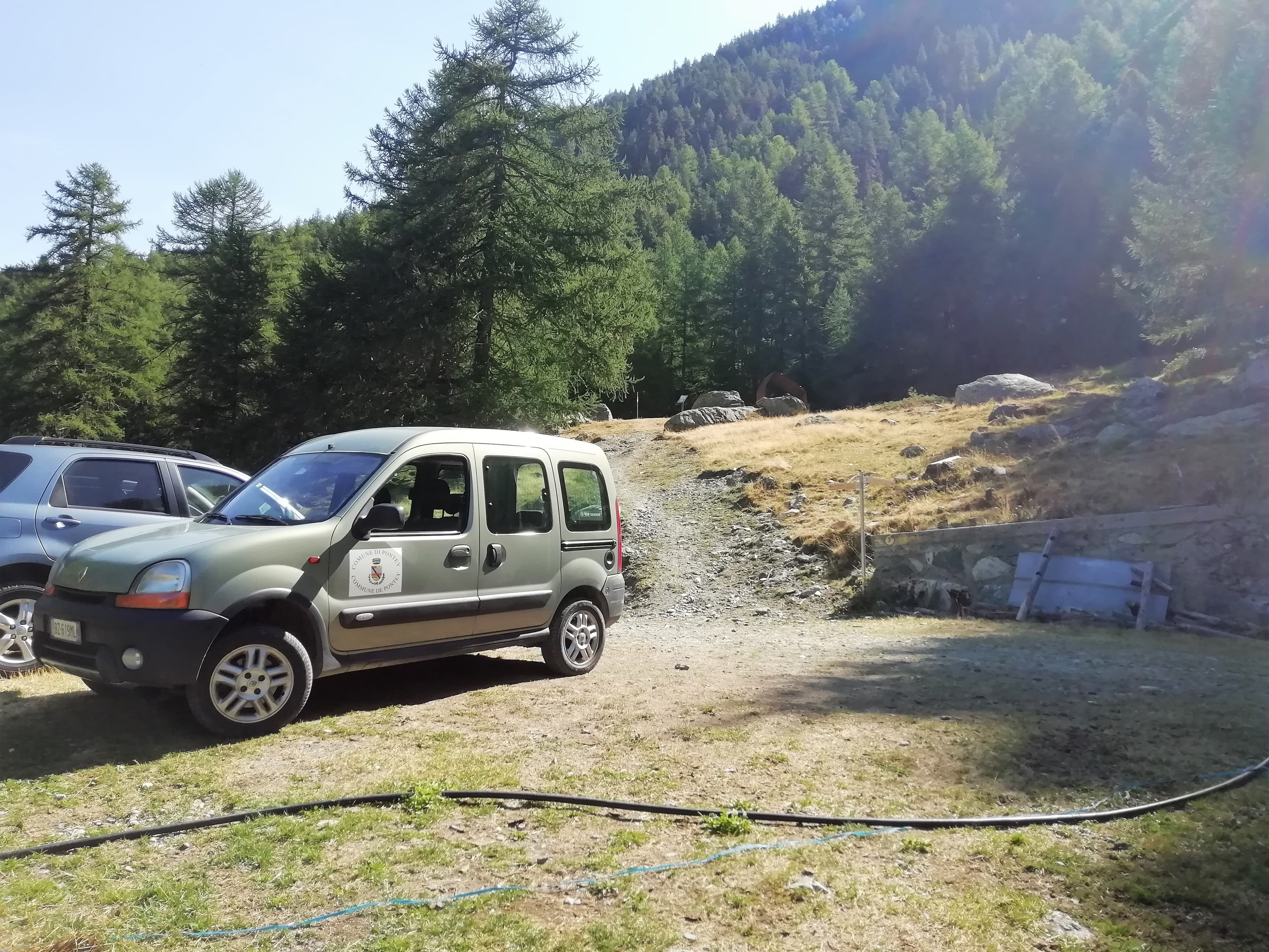
From Grand Haury the route climbs through forest and alpine meadow to the Alpe di Boregne pasture plateau at the foot of Becca Verconey in a quiet Valgrisenche side valley.
Valle del Lys
8.1 km · +1383 m · E — from Issime to Col Dondeuil (Ayas Valley).
La Thuile
8.9 km · +968 m · E — from La Thuile, Thovex to Rifugio Deffeyes (Lys Valley).
Valle di Champorcher
3.5 km · +770 m · E — from Le Crin to Grand Bellalanaz (Lys Valley).
Valle centrale
5.2 km · +408 m · E — from Lignan to Praz (Valpelline).
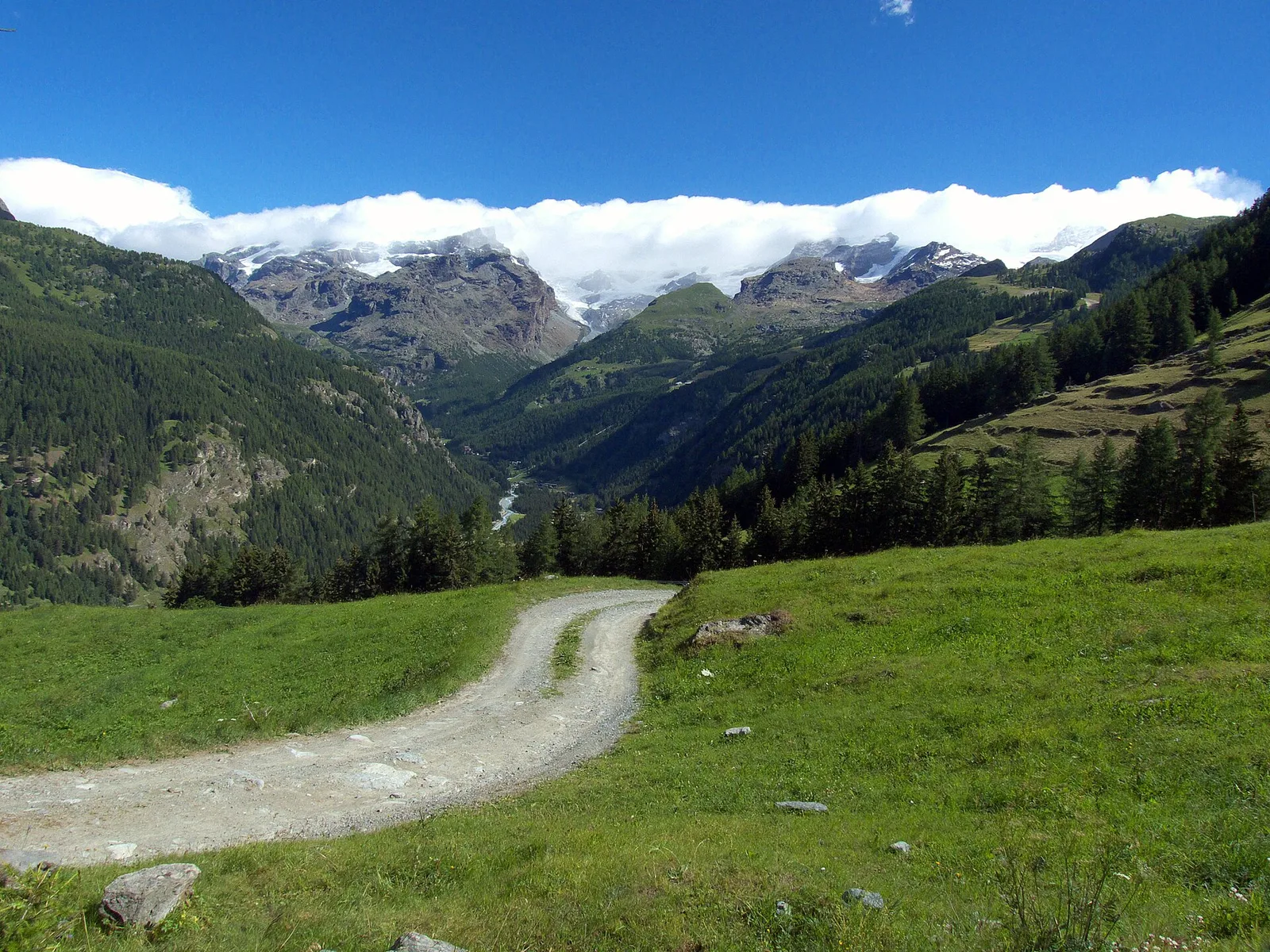
Val di Cogne
10.8 km · +917 m · E — from Lillaz to Rifugio Sogno di Berdzé (AV 2) (Lys Valley).
Bassa Valle
8.8 km · +1603 m · E — from Monteil to Lac Liet (Valtournenche).
Valle del Lys
4.8 km · +786 m · E — from Onderwoald to Col Ranzola (Champorcher Valley).
Valle di Champorcher
5.2 km · +796 m · E — from Outre l'Eve to Alpe Chenessy (Valtournenche).
Valtournenche
3 km · +504 m · E — from Pâquier to Servaz (Central Valley).
Val di Cogne
4.8 km · +398 m · E — from Pila to Plan de l'Eyvie (Lys Valley).
Val d'Ayas
0.8 km · +156 m · E — from Pilaz to Magnéaz (Central Valley).
Valpelline
Along Lake Place-Moulin to Rifugio Prarayer (trail 9-10), Bionaz: 4.6 km, almost flat, T. A walk for everyone.
Valle del Lys
5.3 km · +815 m · E — from Plan Coumarial to Rifugio Coda (Lys Valley).
Valle centrale
3 km · +795 m · E — from Pompiod to Torlin desot (cappella)- Raccordo 38_S6 (Valtournenche).
Val Veny
2.9 km · +283 m · EE — from Pont Combal to Ghiacciaio del Miage quota 2260 (Great St Bernard Valley).
Valgrisenche
4.2 km · +198 m · E — from Confine comunale Arvier, Revers to Valgrisenche (Valtournenche).
Val Ferret
1.7 km · +491 m · E — from Rif Elena to Col Petit Ferret (Great St Bernard Valley).
Valle del Gran San Bernardo
1 km · +250 m · E — from Saint-Oyen to Eternod (Great St Bernard Valley).
Valle centrale
5.2 km · +926 m · E — from Sarral to Arpilles (Central Valley).
Valle centrale
5.5 km · +663 m · E — from Seissogne to Innesto S12 (Great St Bernard Valley).
Valle di Champorcher
3.4 km · +478 m · E — from Strada Dondena to Raty desot (Valtournenche).
Valle del Lys
In the commune of Brusson, Val d'Ayas: a mid-altitude route between hamlets and wooded areas of the slope.
Valle del Lys
2.8 km · +590 m · E — from Start S2 (strada per Tschalvrino) to Weissmatten (Champorcher Valley).
Valle centrale
2.2 km · +274 m · E — from Strada regionale per Arpy to Arpy (Central Valley).
Val Ferret
10.4 km · +982 m · E — from Capoluogo to Rifugio Frassati (Central Valley).
Valle centrale
6 km · +977 m · E — from Terme to Col de Joux (Valtournenche).
Val di Rhêmes
3.7 km · +390 m · E — from Thumel to Rifugio Benevolo (Great St Bernard Valley).
Valpelline
4.5 km · +390 m · E — from Rey to Chatellair-Dessus (Valpelline).
Valle di Champorcher
11.1 km · +1272 m · E — from Veulla to Gran lago (Central Valley).
Valle centrale
6.9 km · +1231 m · E — from Villair to Tête de la Tronche (Great St Bernard Valley).