E
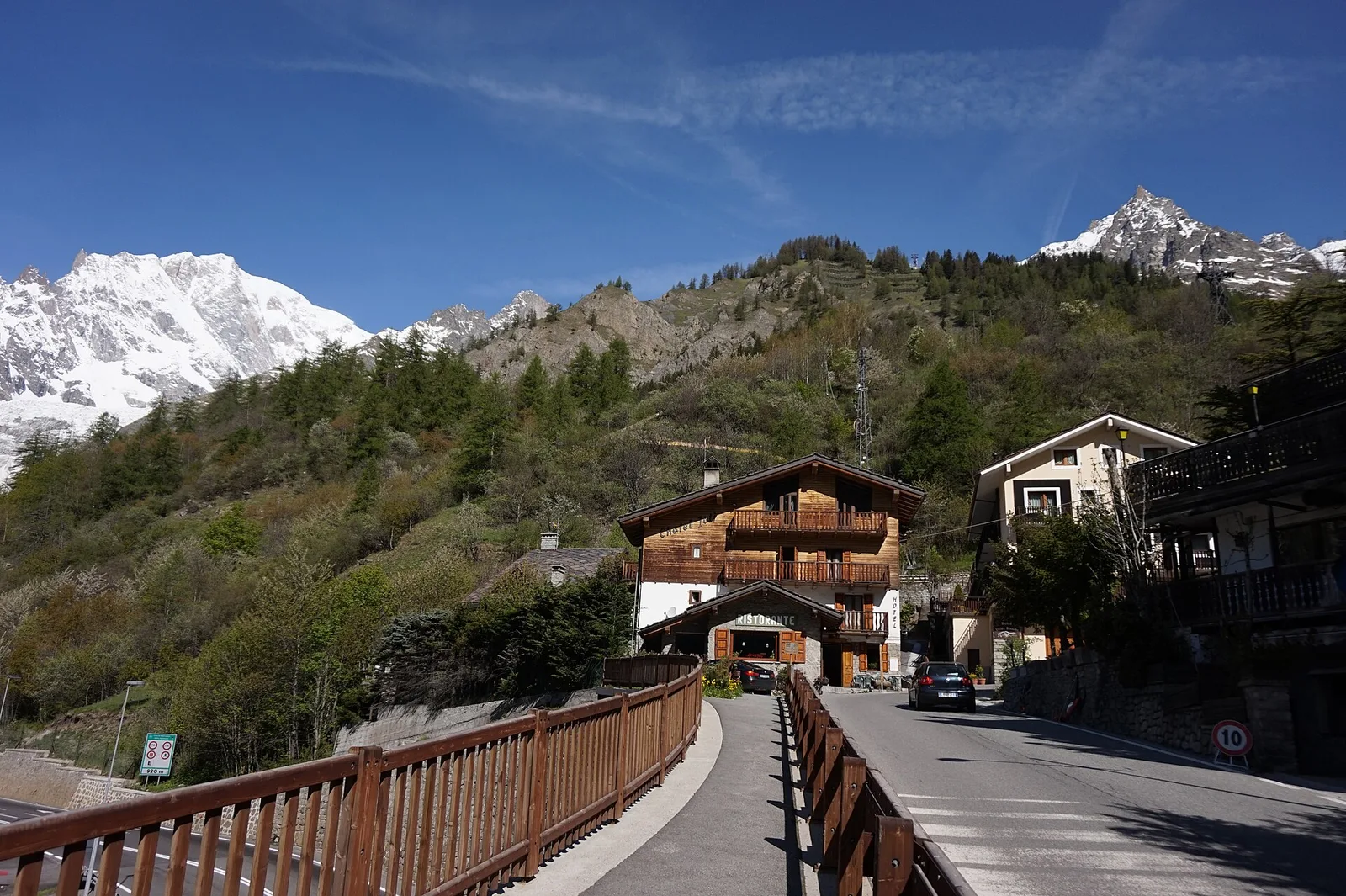
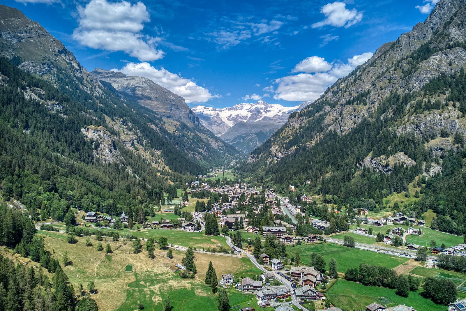
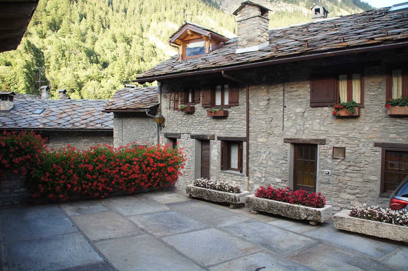
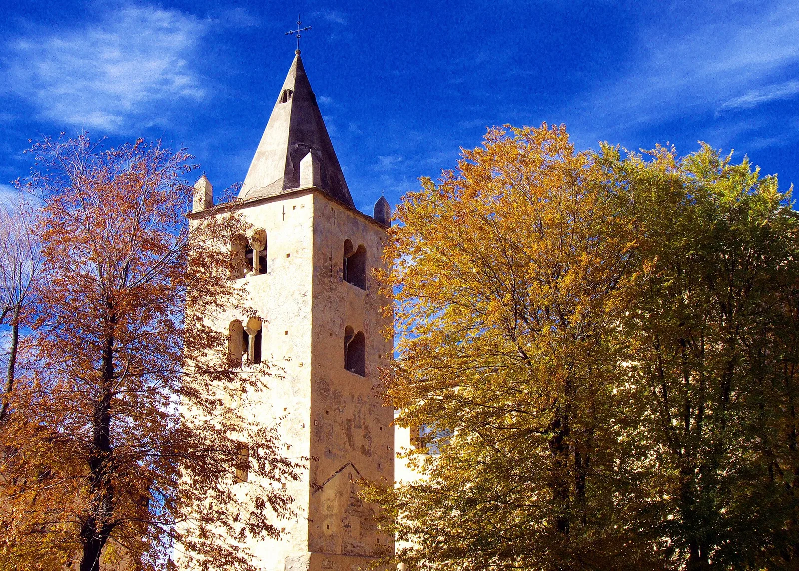
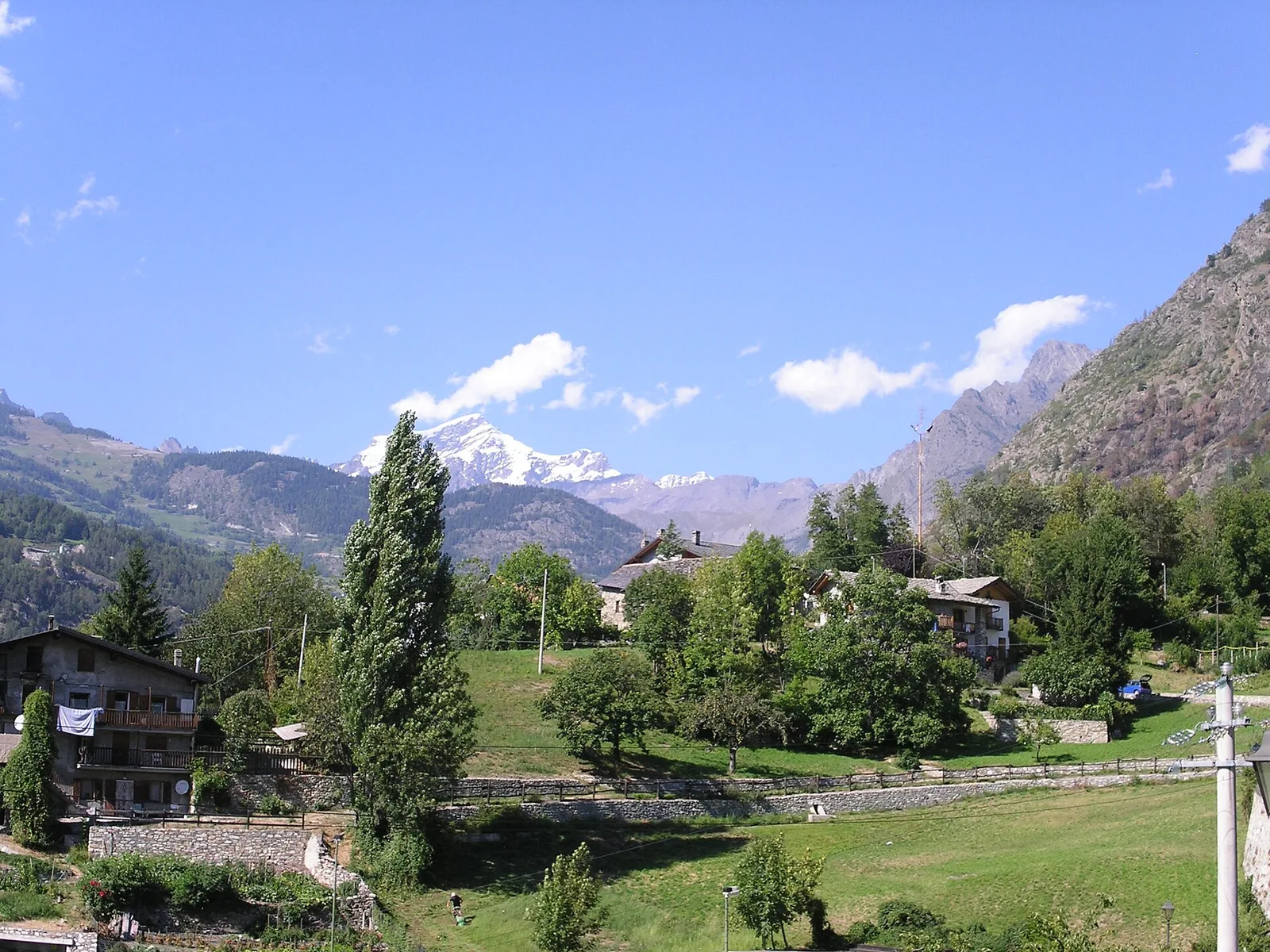
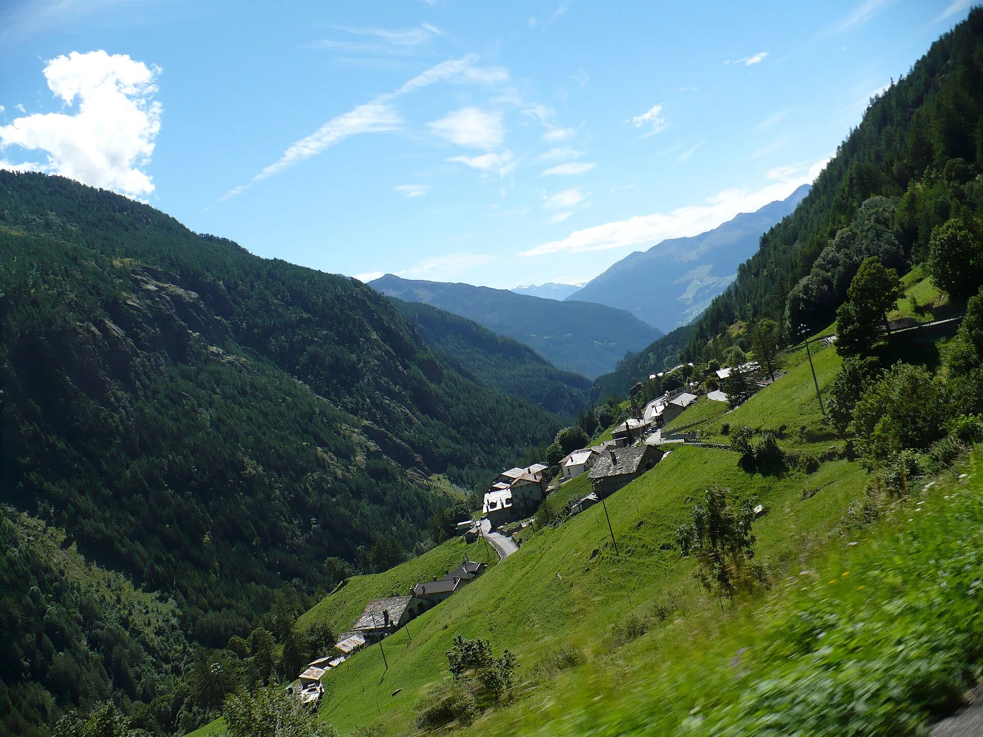
Val d'Ayas
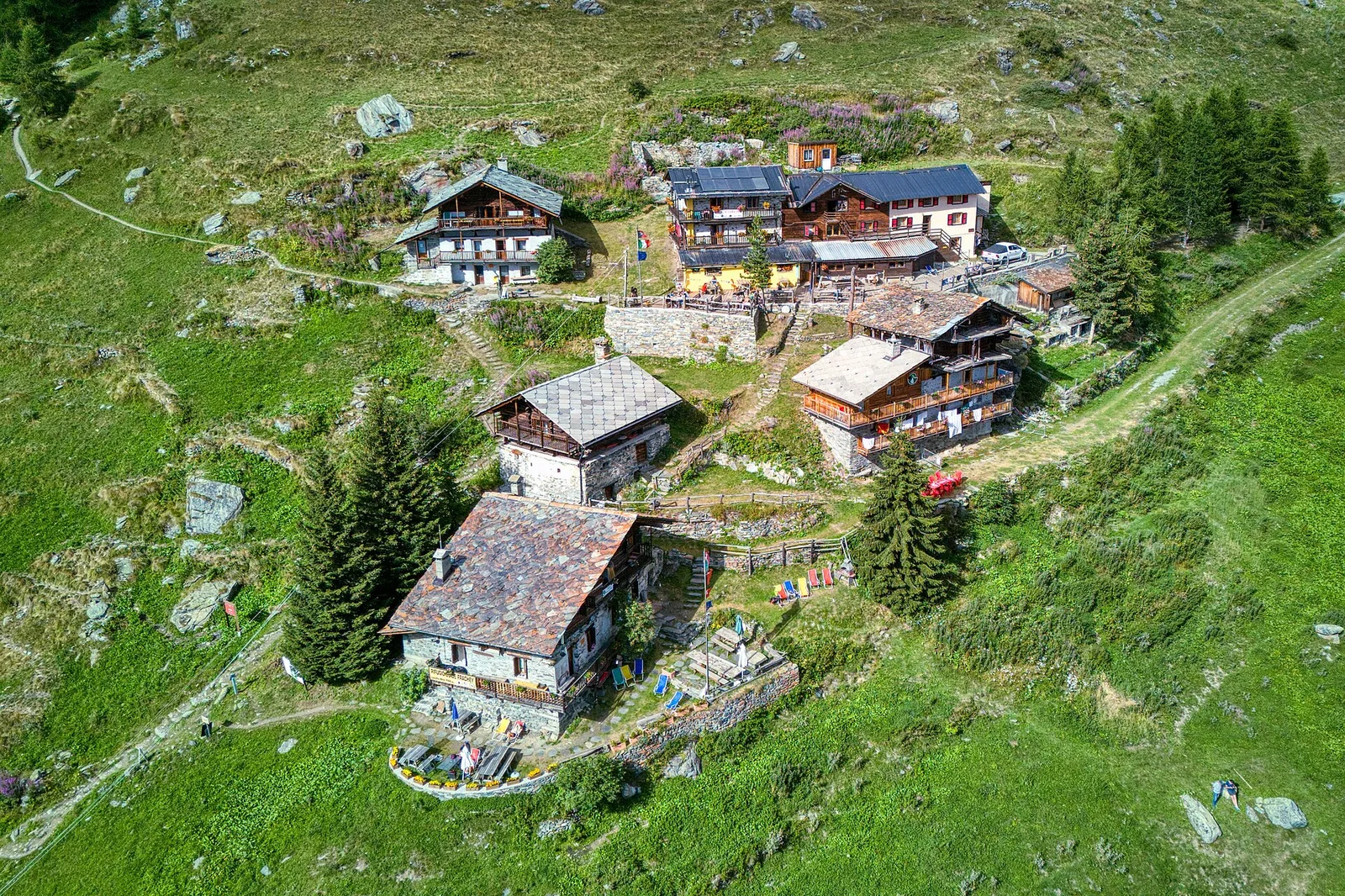
Anello di Tzère
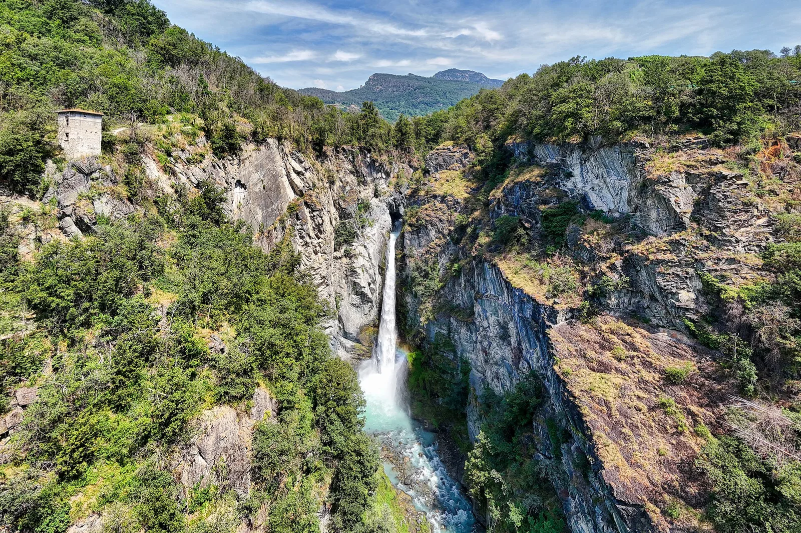
Commune of Ayas: an EE climb toward the high ground of the Vallone delle Cime Bianche.
6.2 km+956 m4 h
Where to spot
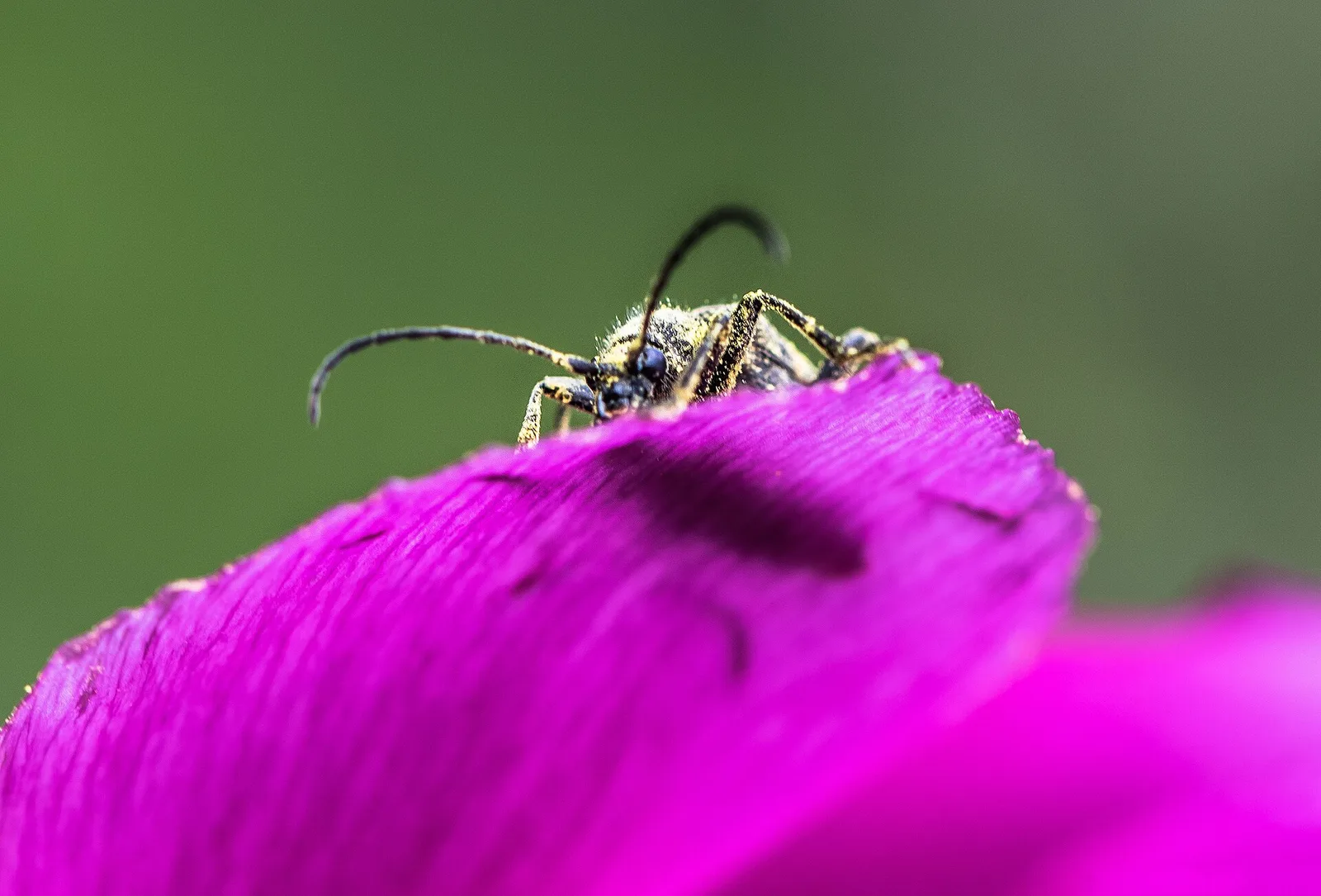
40 trails where Eurasian goshawk is listed in flora/fauna: difficulty E–EE, elevation gain 13–1685 m.
40 · 0.8–10.4 km · +13–1685 m
Val d'Ayas
Commune of Ayas: an EE climb toward the high ground of the Vallone delle Cime Bianche.
Val d'Ayas
6 km · +828 m · E — from Bellecombe to Thoule (Valdigne).
Valtournenche
3.3 km · +507 m · EE — from Berzin to Cappella di Saint-Evence (Valpelline).
Valle centrale
2 km · +275 m · E — from Cerellaz to Vedun (Valdigne).
Valle centrale
2.6 km · +874 m · E — from Cerise to Bec Tolomon (Lys Valley).
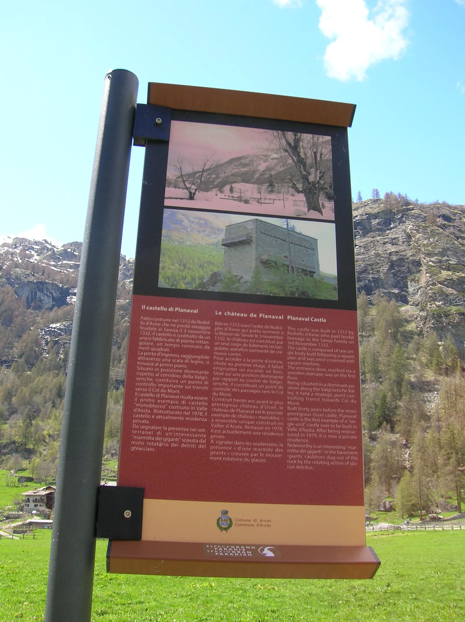
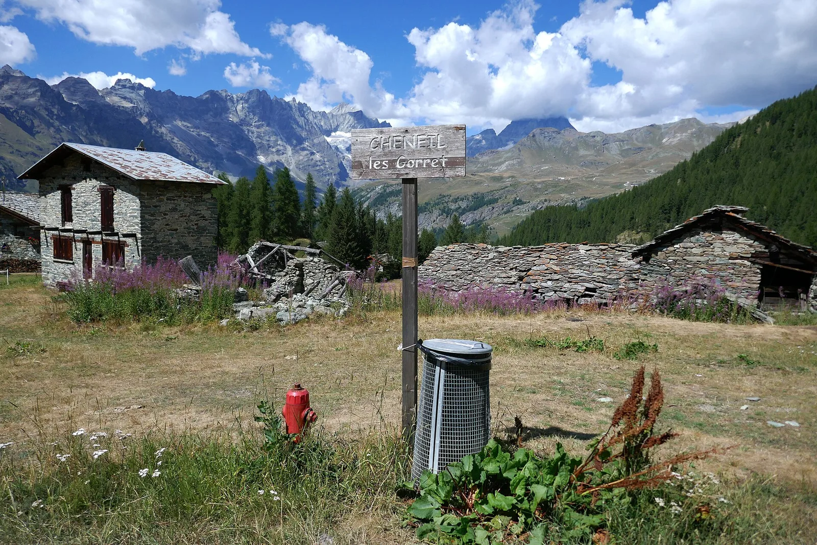
Valgrisenche
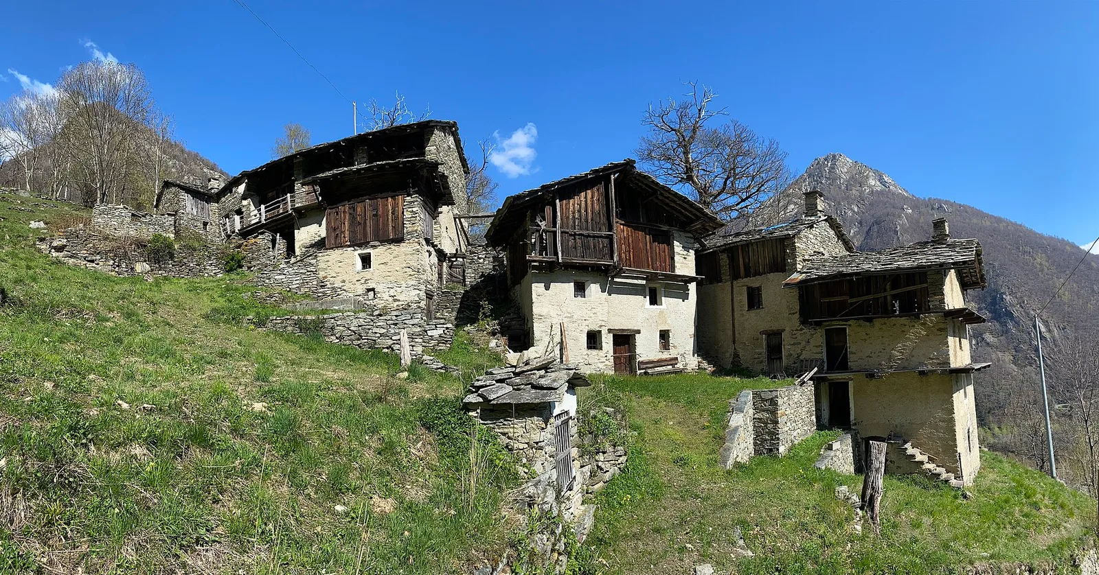
In the Valgrisenche, commune of Arvier: an E-rated climb through forest and meadows toward a high-altitude pasture.
Valle centrale
4.4 km · +543 m · E — from Champlong dessus to Petit-Poignon (Central Valley).
Valle del Lys
1.7 km · +20 m · E — from Leschelbalmo to Leschelbode (Champorcher Valley).

Valle centrale
1.4 km · +164 m · E — from Feilley to Moron (Valtournenche).
Bassa Valle
4.5 km · +938 m · E — from Fey to Croix Corma (Central Valley).
Valle di Champorcher
2.3 km · +602 m · E — from Frassiney to Borney (Champorcher Valley).
Valtournenche
1.6 km · +13 m · E — from Grand Moulin to Poutaz (Valtournenche).
Val Ferret
1.8 km · +163 m · E — from La Palud to Planpincieux (Great St Bernard Valley).
Val Ferret
2.4 km · +774 m · E — from La Palud to Pavillon (Great St Bernard Valley).
Bassa Valle
4.8 km · +1134 m · E — from La Raffort - Centrale to Cormoney (Valsavarenche).
Valle del Lys
2.3 km · +592 m · E — from Lillianes to Sainte-Marguerite (Central Valley).
Bassa Valle
7.6 km · +1544 m · E — from Lo Pian to Arvueil (Central Valley).
Bassa Valle
3.9 km · +1035 m · E — from Monteil to Montat (Valtournenche).
Valle centrale
4.3 km · +591 m · E — from Nus to Blavy (Valpelline).
Valle del Lys
4.8 km · +786 m · E — from Onderwoald to Col Ranzola (Champorcher Valley).
Valle di Champorcher
5.5 km · +892 m · E — from Outre l'Eve to Pian Ciampaney (Valtournenche).
Valle centrale
1.7 km · +169 m · E — from Palleusieux to Verrand (Rhêmes Valley).
Valtournenche
3.7 km · +317 m · E — from Paquier to Champleve (Central Valley).
Val d'Ayas
0.8 km · +156 m · E — from Pilaz to Magnéaz (Central Valley).
Valle centrale
3.1 km · +806 m · E — from Pompiod to Champallex (Champchenille) (Valtournenche).
Valtournenche
4.8 km · +166 m · E — from Prelaz to Col des Bornes (Valsavarenche).
Val d'Ayas
2.6 km · +308 m · E — from Quinçod to Alésaz (Ayas Valley).
Valle di Champorcher
2.9 km · +376 m · EE — from Remoran to Col d'Arcomy (Valtournenche).
Valle del Gran San Bernardo
10.4 km · +67 m · E — from Reysod to Etroubles (Central Valley).

Valle del Lys
6.1 km · +1025 m · E — from Rikurt to Muni (Ayas Valley).
Valle del Gran San Bernardo
3.2 km · +823 m · E — from Roisan to Riond (Valtournenche).
Valle centrale
4.7 km · +51 m · E — from Via Battaglione Aosta to Verdetta (Valtournenche).
Valle del Gran San Bernardo
5.5 km · +738 m · E — from Capoluogo to Plan Puitz (Great St Bernard Valley).
Val d'Ayas
5.1 km · +1030 m · E — from Eresaz to Tête de Comagne (Great St Bernard Valley).
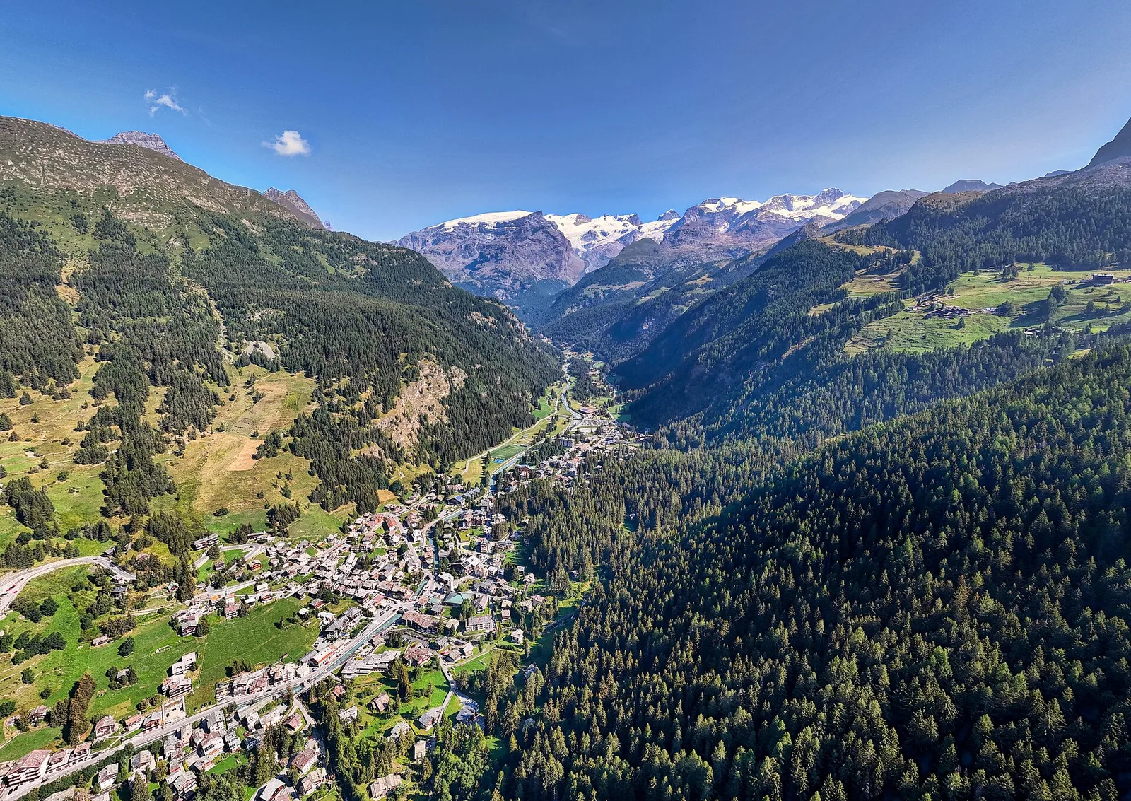
Valpelline
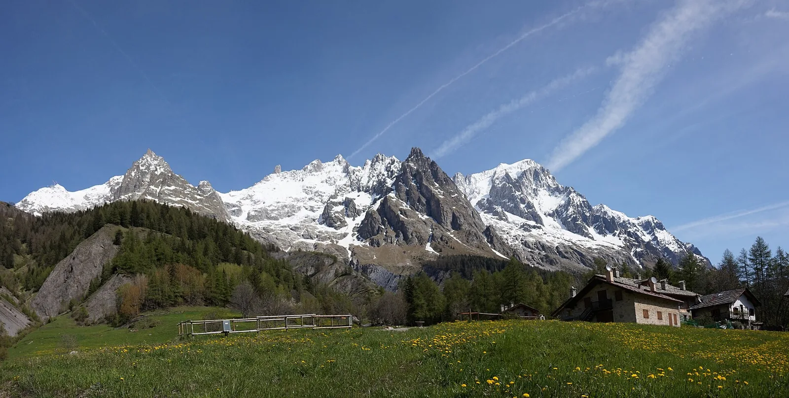
A scenic loop above Bionaz, from La Culoz via Mont Echeut and Sevey: 1,200 metres of ascent among alps and balconies over Valpelline.
Valle centrale
1.5 km · +352 m · E — from Valmeanaz to Rean (Great St Bernard Valley).
Valpelline
3.3 km · +419 m · E — from Valpelline capoluogo to Capoluogo (Valtournenche).
Valle centrale
2.1 km · +235 m · EE — from Vens to Col du Joux (Central Valley).
Val d'Ayas
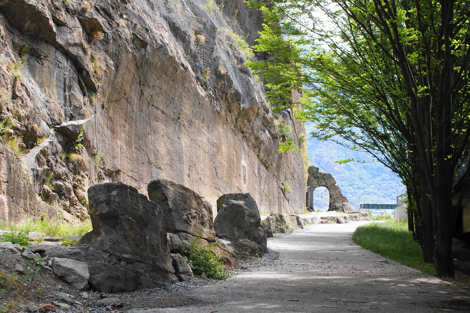
3.3 km · +600 m · E — from Ponti Romani to Tron damon (Ayas Valley).
Valle centrale
9 km · +1685 m · E — from Villair to Col de Licony (Central Valley).