
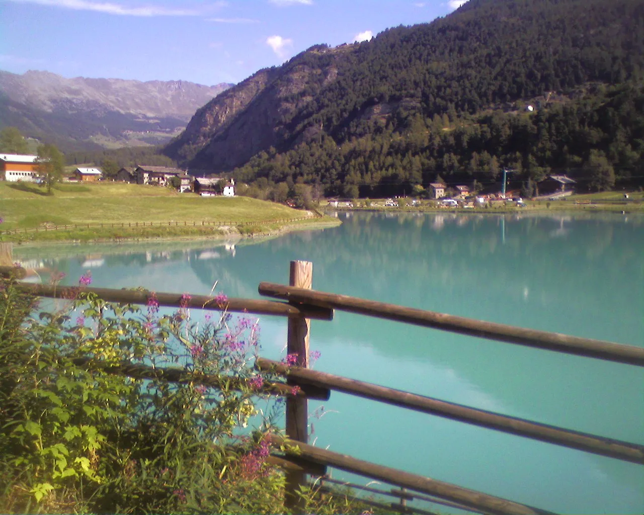
EEA
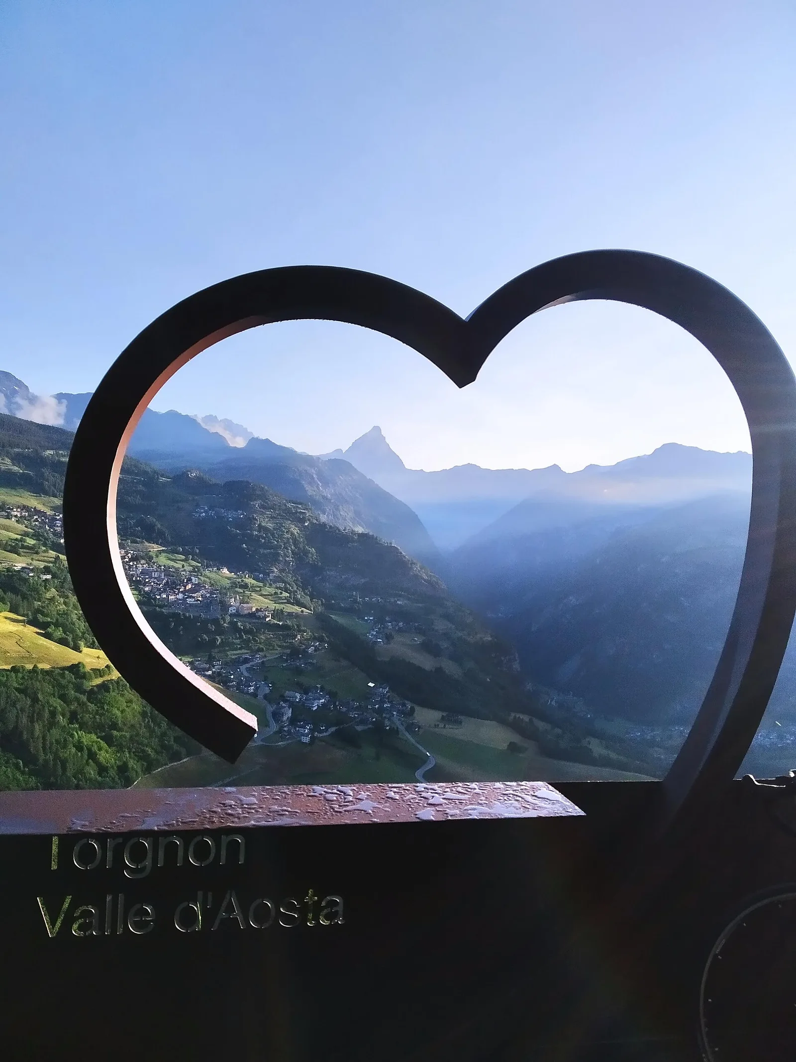
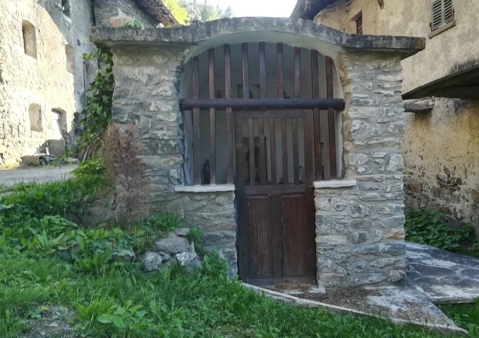
Valle del Lys
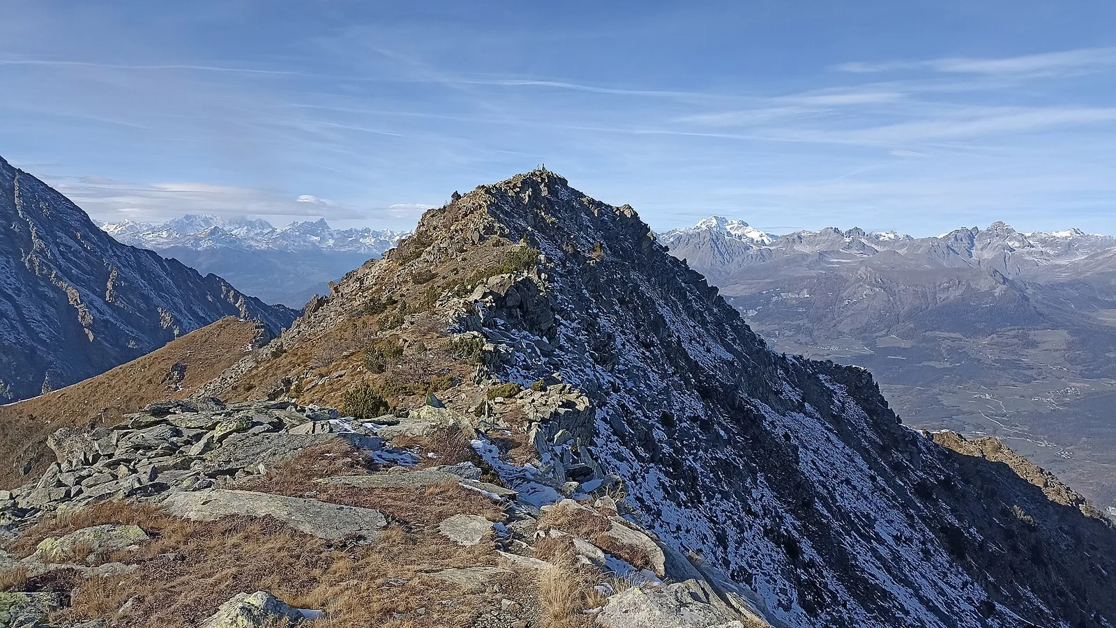
Anello dei Gemelli della Mologna
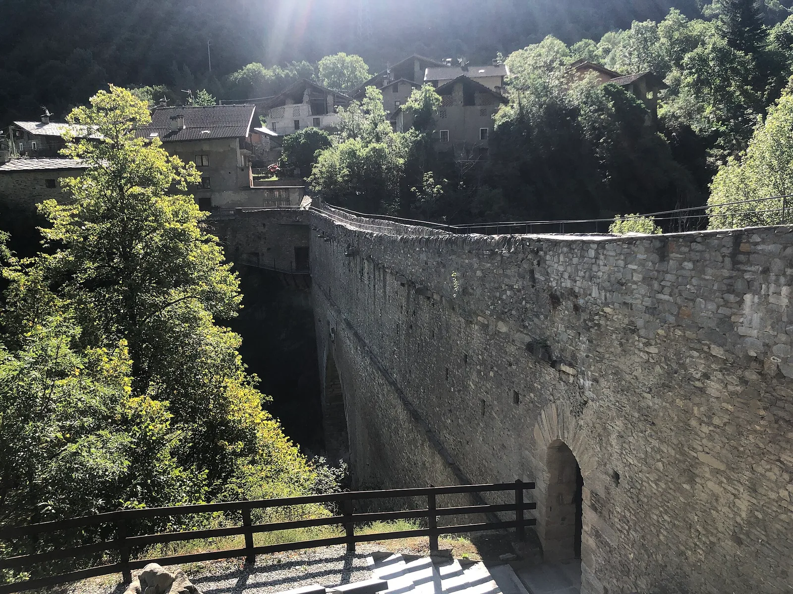
8.9 km · +996 m · EEA — from Niel to Niel (Great St Bernard Valley).
8.9 km+996 m4.5 h
Where to spot
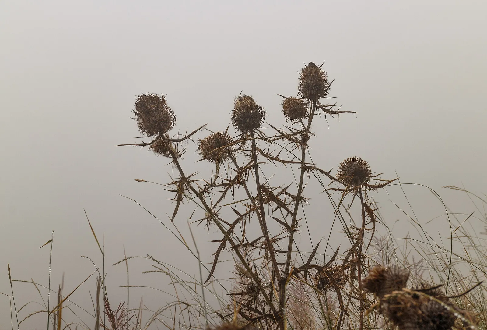
40 trails where Snowdrop is listed in flora/fauna: difficulty T–EEA, elevation gain 0–1238 m.
40 · 0.9–9.4 km · +0–1238 m
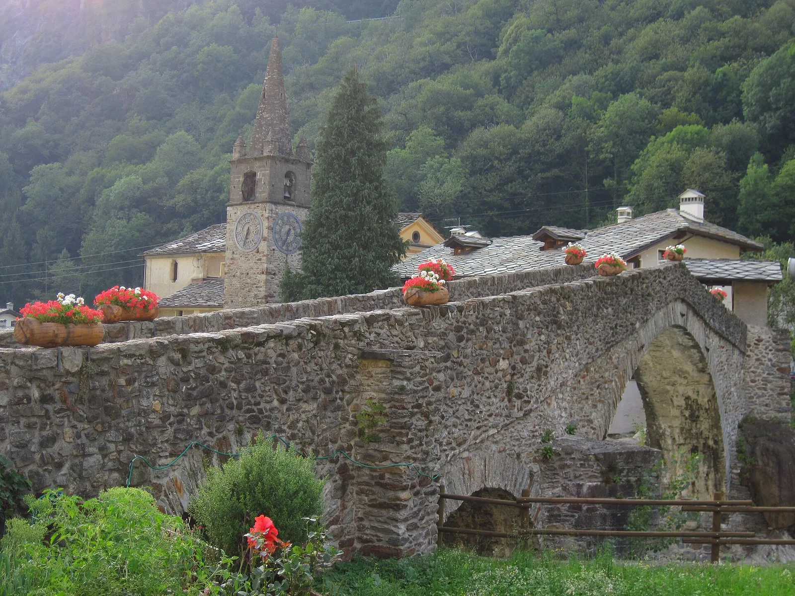
Valle del Lys
8.9 km · +996 m · EEA — from Niel to Niel (Great St Bernard Valley).

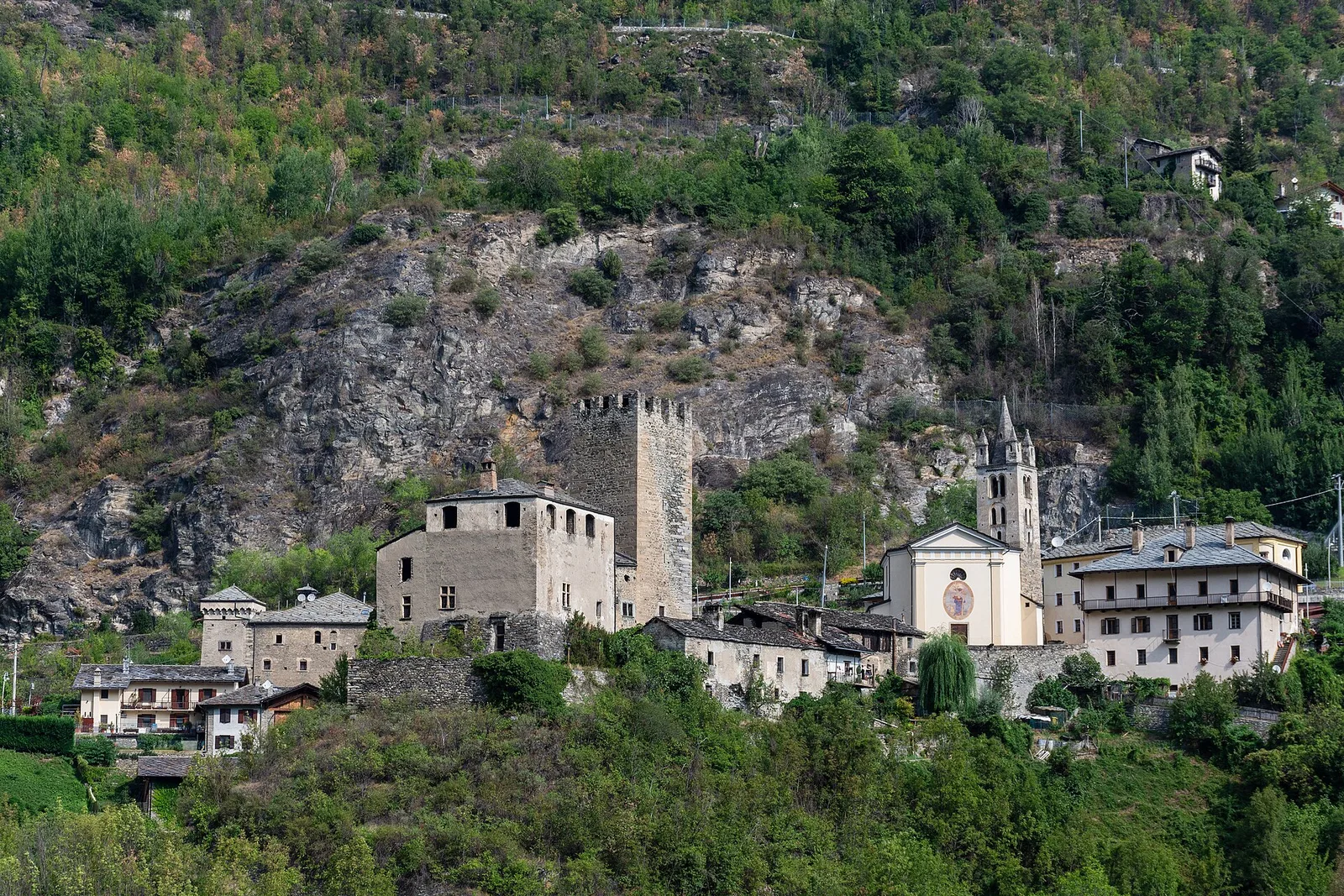
Valle centrale
2.6 km · +233 m · E — from Château Verrand to Château Verrand (Rhêmes Valley).

Val d'Ayas
9.4 km · +1238 m · EE — from Isollaz to Isollaz (Ayas Valley).
Val d'Ayas
An easy T-rated stroll from Arcésaz to Brusson along irrigation canals and mid-slope paths in the Val d'Ayas: 3.6 km, no difficulty, suitable for families and all levels.
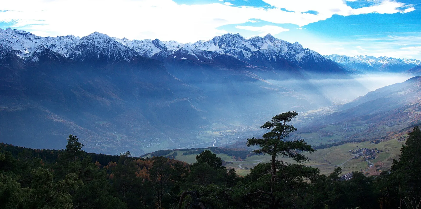
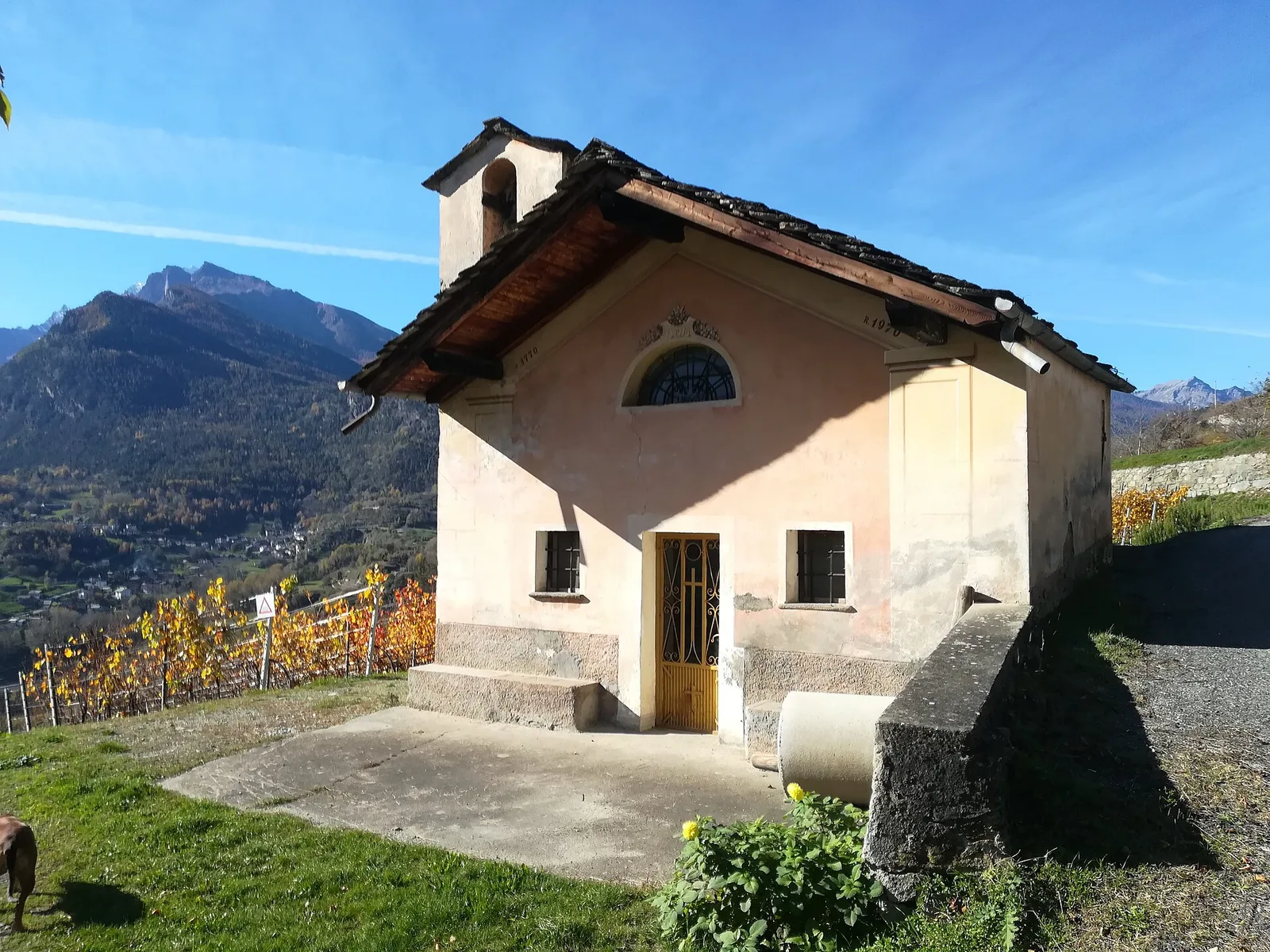
Valle centrale
2.6 km · +491 m · E — from Avise to Charbonnière (Valdigne).
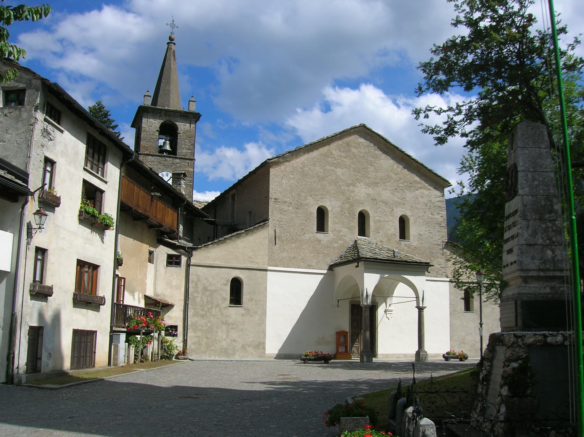
Valtournenche
1.6 km · +184 m · E — from Berzin to Masod (Valpelline).
Valle centrale
1.7 km · +275 m · E — from Bourg de Chambave to Chateau de Cly (Valtournenche).
Valle centrale
1.5 km · +327 m · E — from Cerellaz to Cerlogne (Valdigne).
Valle centrale
6.8 km · +0 m · E — from Cloutraz to Bellecombe (Valdigne).
Valle centrale
1.8 km · +219 m · E — from Cossèi to Belvedere Tsan (Lys Valley).
Val di Cogne
1.4 km · +0 m · E — from Epinel to Str.Regionale.Cretaz (Lys Valley).
Val d'Ayas
0.9 km · +120 m · E — from Erésaz to Ravet (Great St Bernard Valley).

Valle centrale
1.4 km · +164 m · E — from Feilley to Moron (Valtournenche).
Valsavarenche
5.1 km · +233 m · T — from Fenille to Degioz (Ayas Valley).
Bassa Valle
1.3 km · +95 m · T — from Piazza del Municipio to Le tre Goye (Valsavarenche).
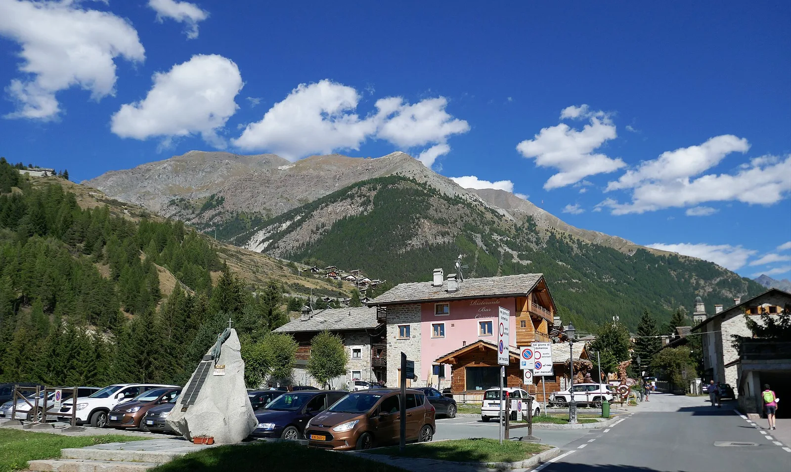
Valle centrale
From the Valgrisenche valley floor at Leverogne (721 m) to the hilltop village of Saint-Nicolas (1,203 m): 3.4 km and 499 m of ascent.
Valtournenche
1.3 km · +310 m · E — from Lies to tornante S.R. (Valtournenche).
Valle del Lys
2.3 km · +592 m · E — from Lillianes to Sainte-Marguerite (Central Valley).
Valle centrale
2.2 km · +263 m · E — from Liveroulaz to Chaillod (Central Valley).
Valle di Champorcher
2.1 km · +183 m · E — from Mellier to Grand-Rosier (Valtournenche).
Valle centrale
1.5 km · +284 m · E — from Moulin to Plout (Great St Bernard Valley).
Valle centrale
1 km · +355 m · E — from Nus to Vollein (Valpelline).
Bassa Valle
3.1 km · +639 m · E — from Outrefer to Pourcil (Valtournenche).
Bassa Valle
1.3 km · +111 m · E — from Rovarey to Croce della Missione (Valtournenche).
Valle centrale
1.8 km · +355 m · E — from Pingaz to Novellioz (Valtournenche).
Valtournenche
4.8 km · +0 m · E — from Plan to Berzin (Central Valley).
Bassa Valle
3.8 km · +581 m · E — from Plan de Brun to Fey (Central Valley).
Valle centrale
1.8 km · +429 m · E — from municipio Pollein to Chenoz (Lys Valley).
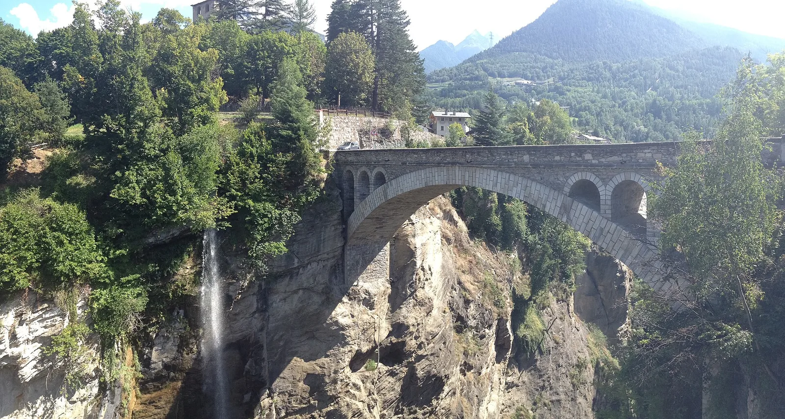
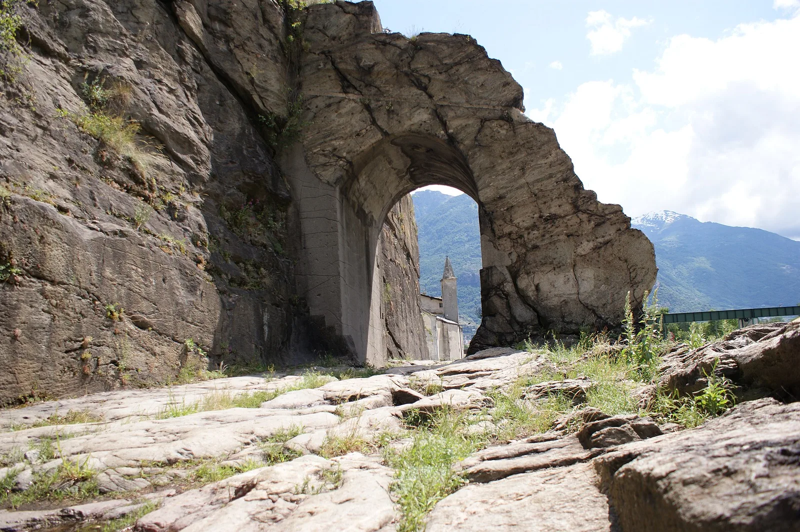
Valle centrale
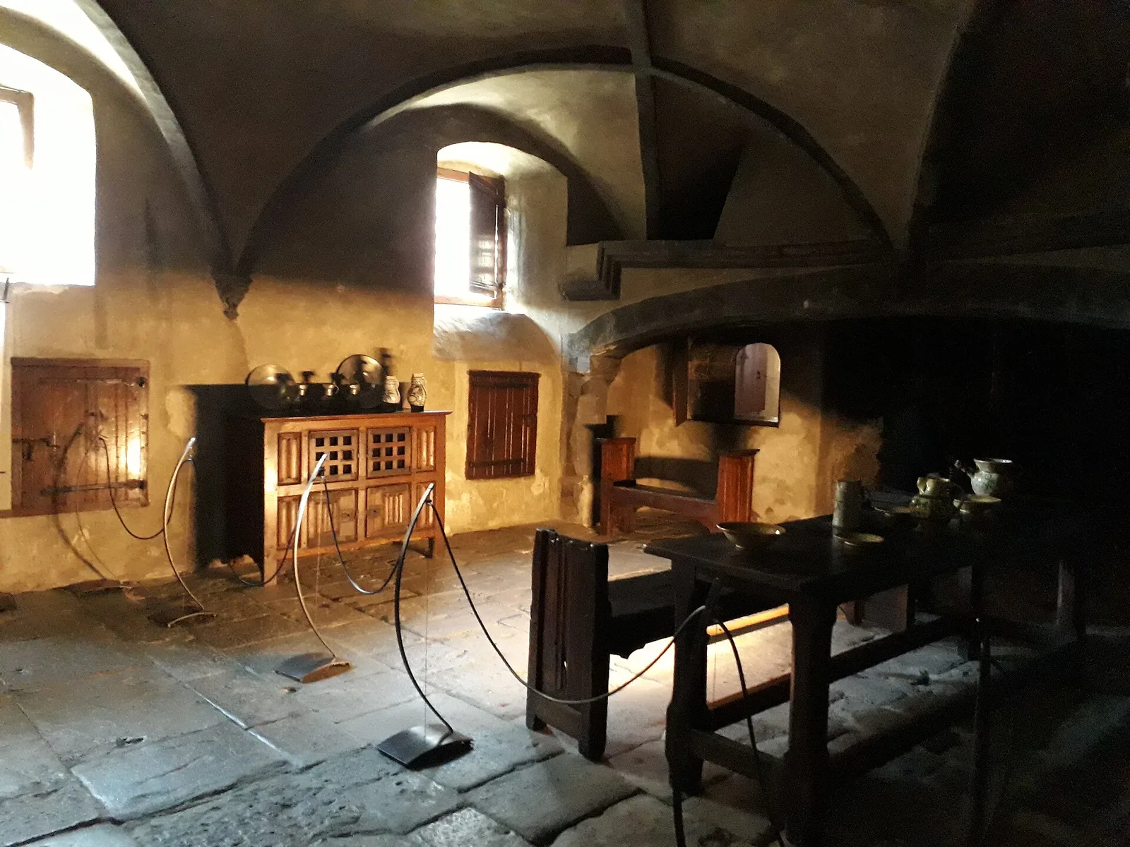
From the Roman Pont d'Ael (3 BC) at Pondel, a sustained climb into the wild Grand Eyvia valley to the quiet alp of Petit Poignon.
Valle centrale
2.9 km · +688 m · EE — from Rovarey to Thuy damon (Chambave) (Lys Valley).
Valpelline
4.9 km · +0 m · E — from Vaud to Châtelair (Valpelline).
Val d'Ayas
1.4 km · +0 m · E — from Paysan to Casa fine poderale 29 (Ayas Valley).
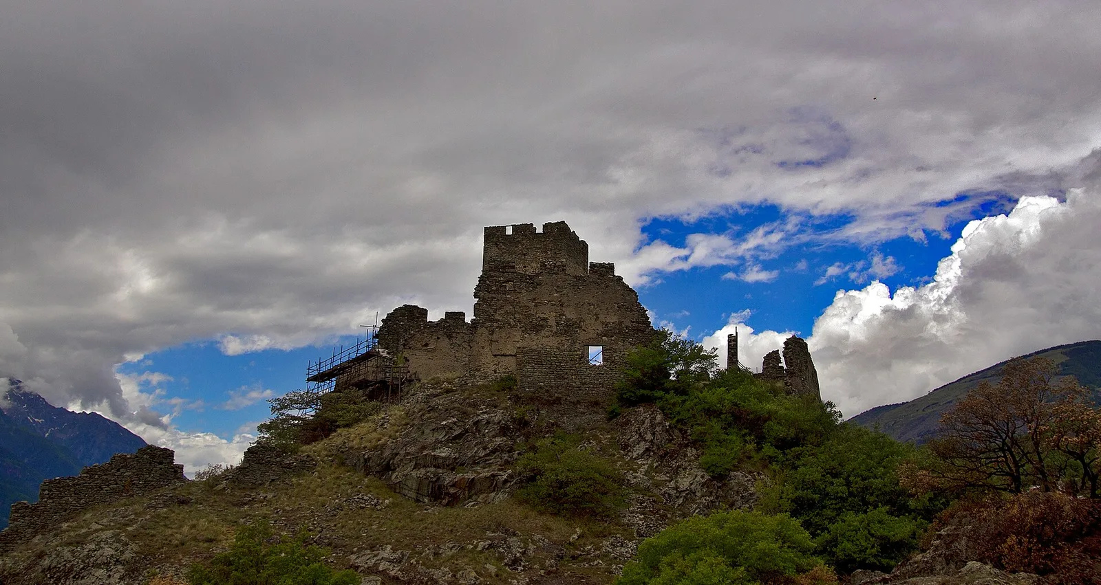
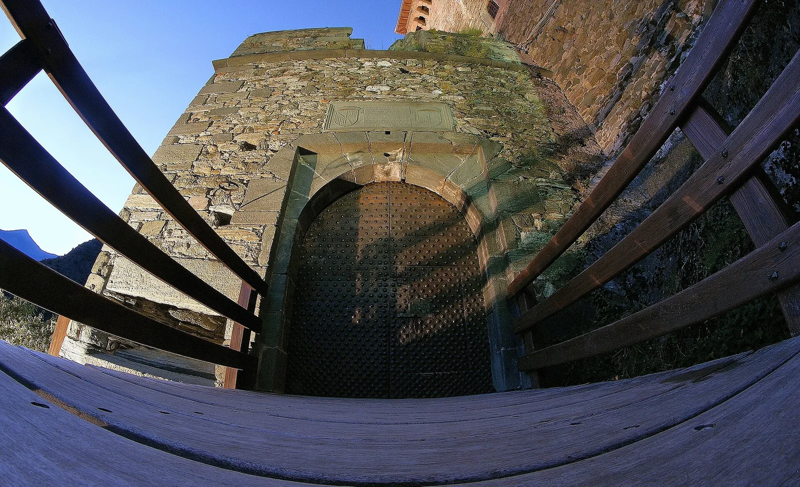
Valle del Gran San Bernardo
1.8 km · +448 m · E — from Saint-Oyen to Saint-Oyen (Great St Bernard Valley).
Bassa Valle
2.9 km · +391 m · E — from Poline desot to Ronchas (Central Valley).
Valle centrale
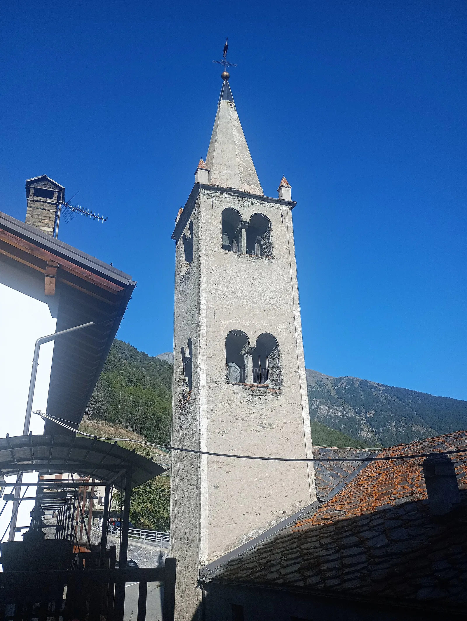
1.1 km · +75 m · E — from Terme to Maison Neuve (Valtournenche).
Val d'Ayas
2.3 km · +283 m · E — from Sizan to Sant'Anna (Ayas Valley).
Val d'Ayas
1.5 km · +367 m · T — from Strada Statale 26 to Croix de Saint-Gilles (Valtournenche).
Valle centrale
2.3 km · +394 m · E — from Tiller to Valmianaz (Lys Valley).
Valle centrale
3.9 km · +713 m · E — from Veynes to Valtolanaz (Central Valley).
Valle centrale
2.1 km · +177 m · E — from Via Scuola Militare Alpina to Châtelet (Ayas Valley).