
E
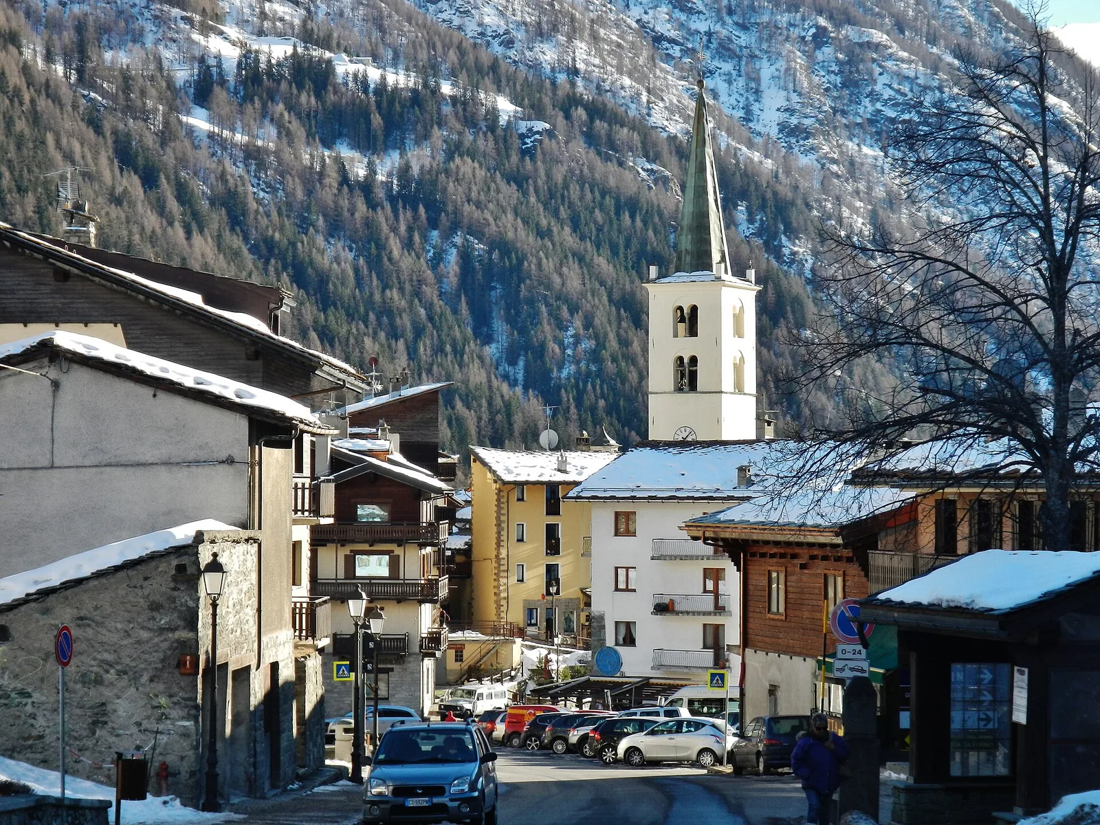
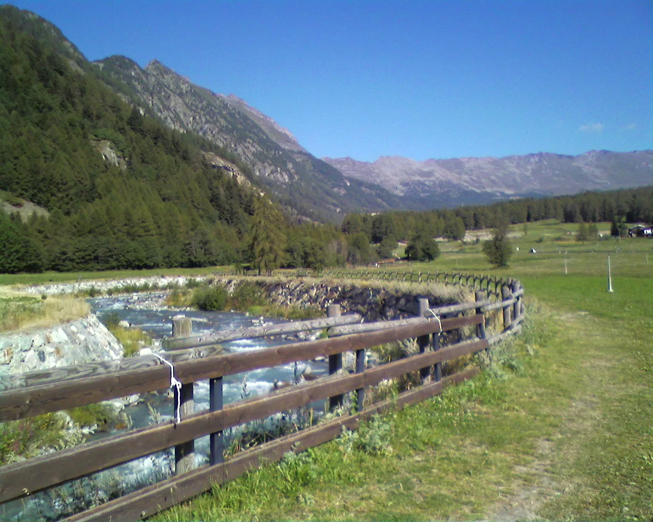
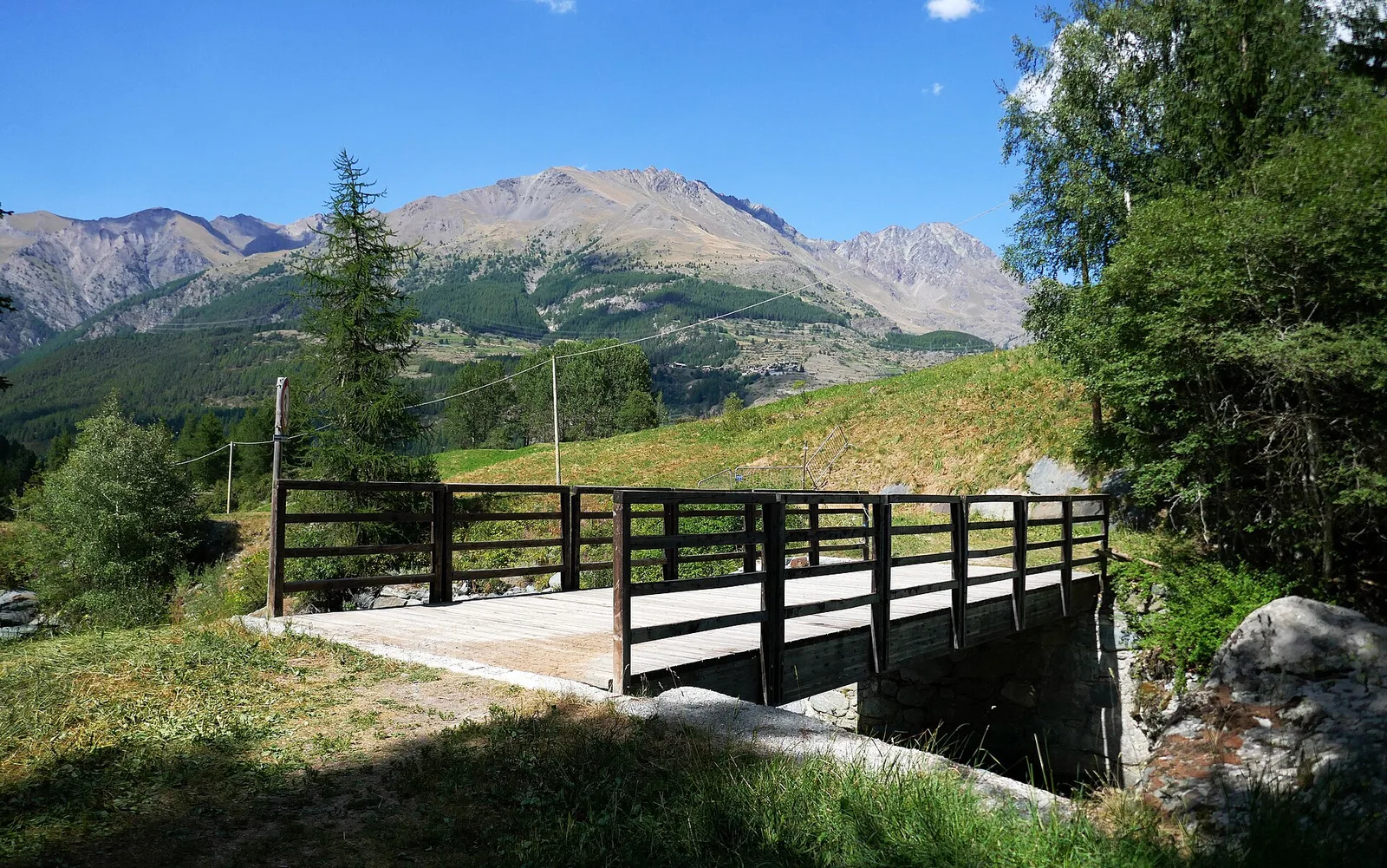
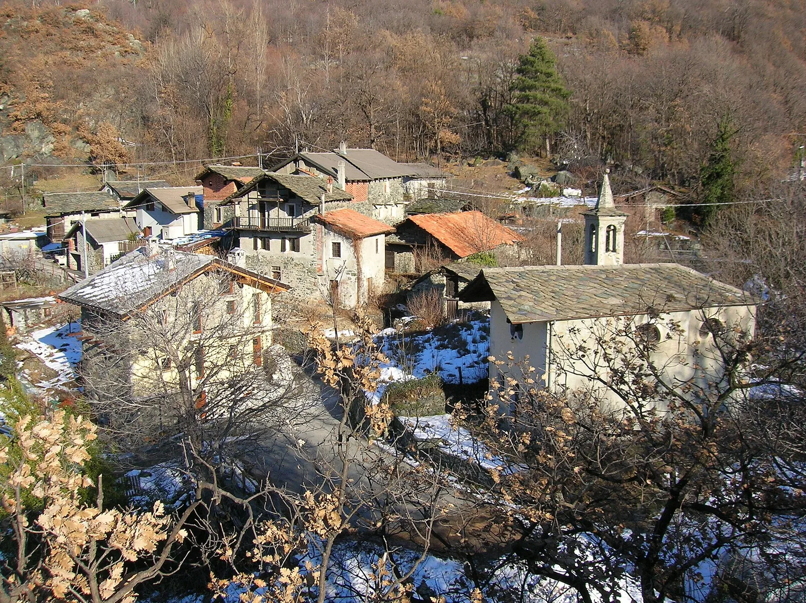
Val d'Ayas
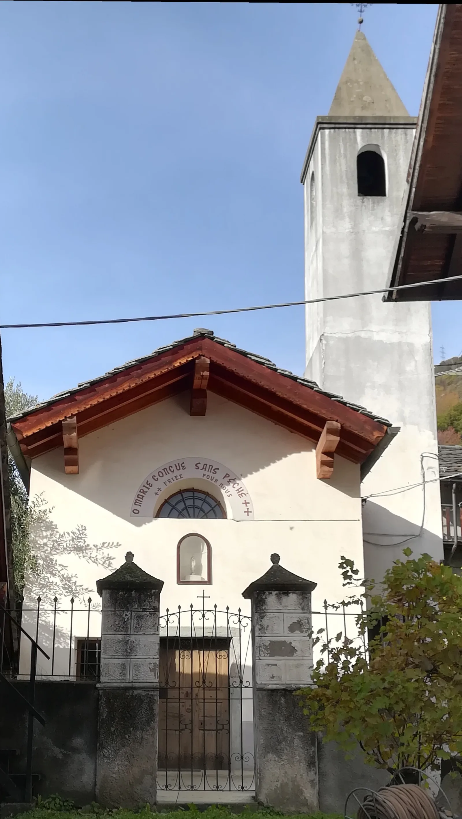
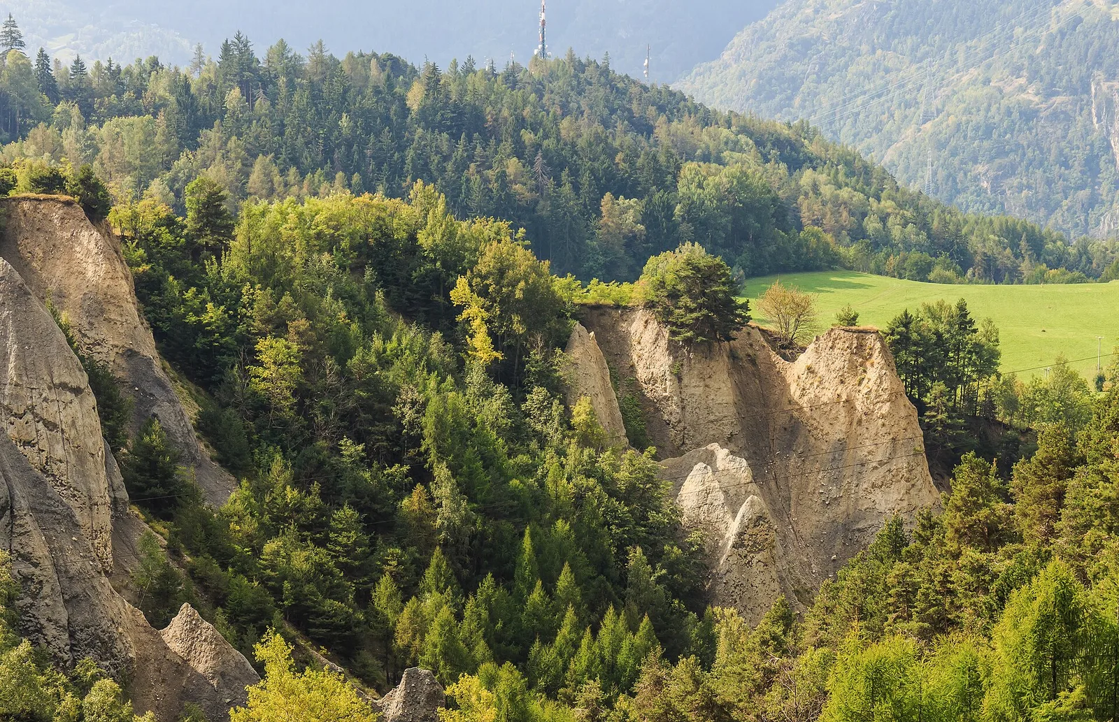
Arbaz - Miniera di Bechaz
1.6 km · +137 m · E — from Arbaz to Miniera di Bechaz (Ayas Valley).
1.6 km+137 m0.5 h
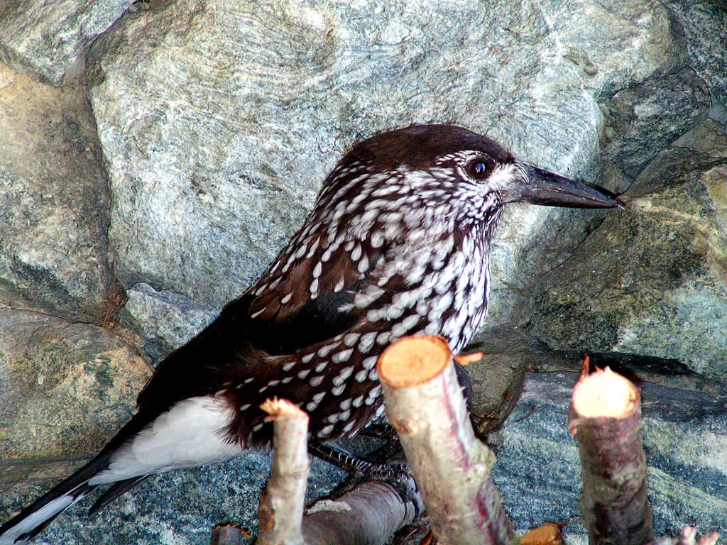
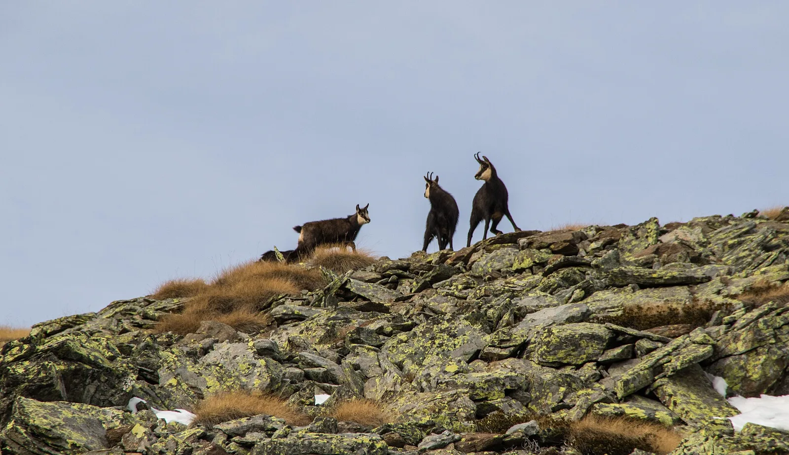
Where to spot
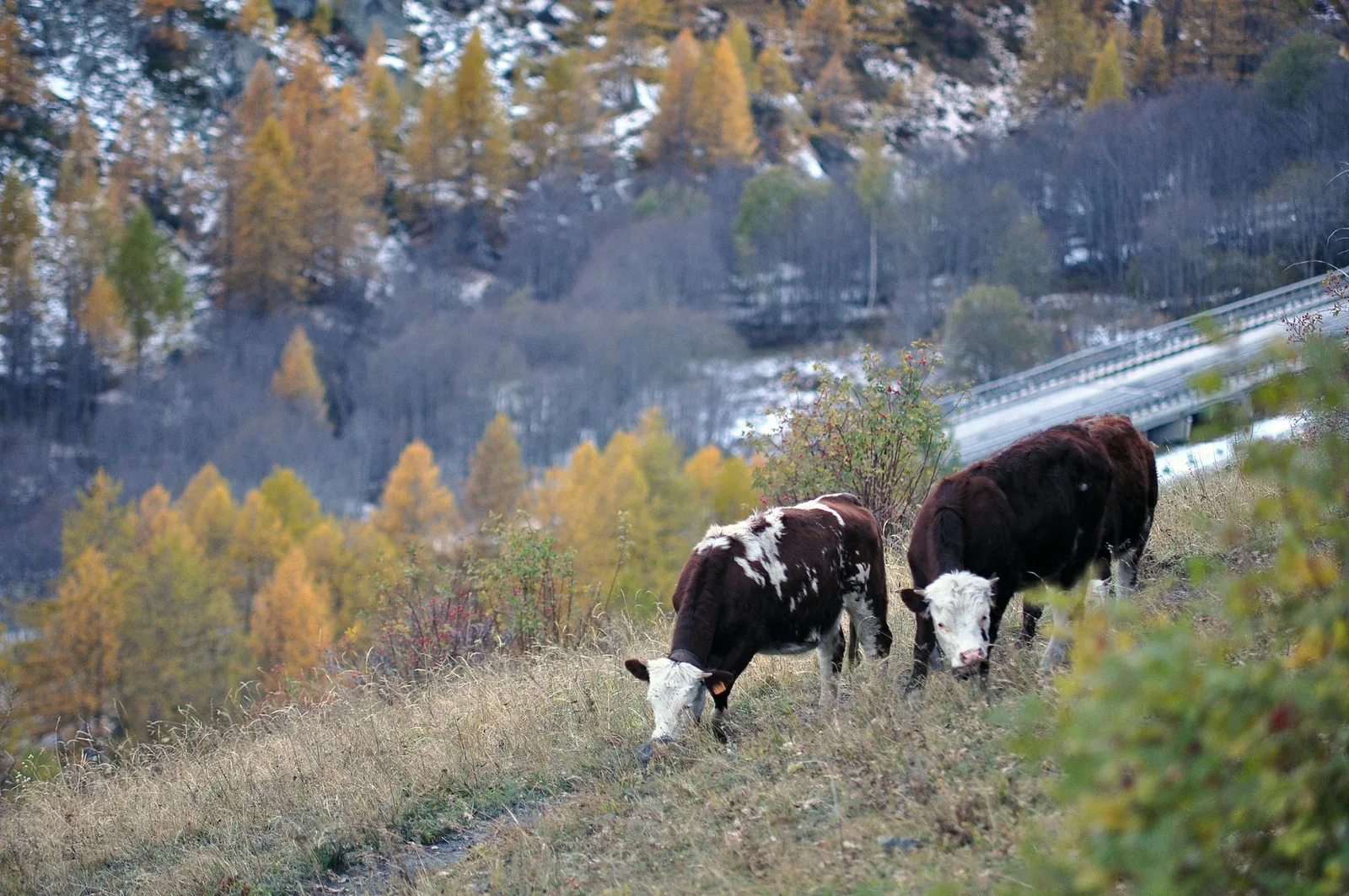
45 trails where Crested tit is listed in flora/fauna: difficulty E–EE, elevation gain 0–1304 m.
45 · 1.2–14.3 km · +0–1304 m
Val d'Ayas
1.6 km · +137 m · E — from Arbaz to Miniera di Bechaz (Ayas Valley).
Val d'Ayas
1.9 km · +78 m · E — from Arbaz to Mont d'Arbaz (Ayas Valley).
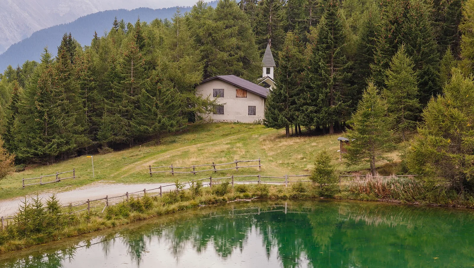
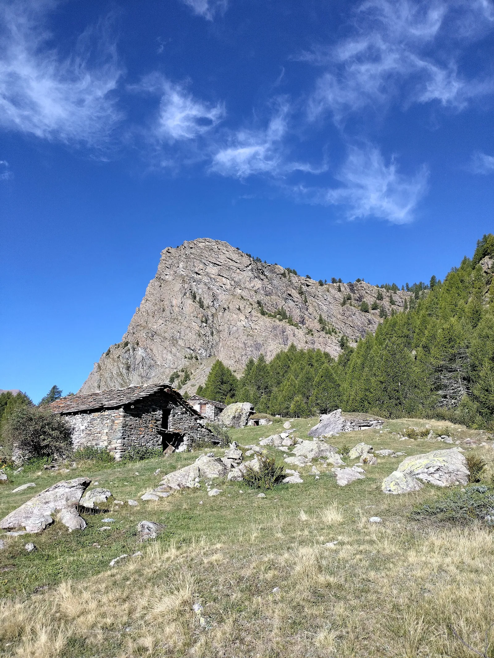
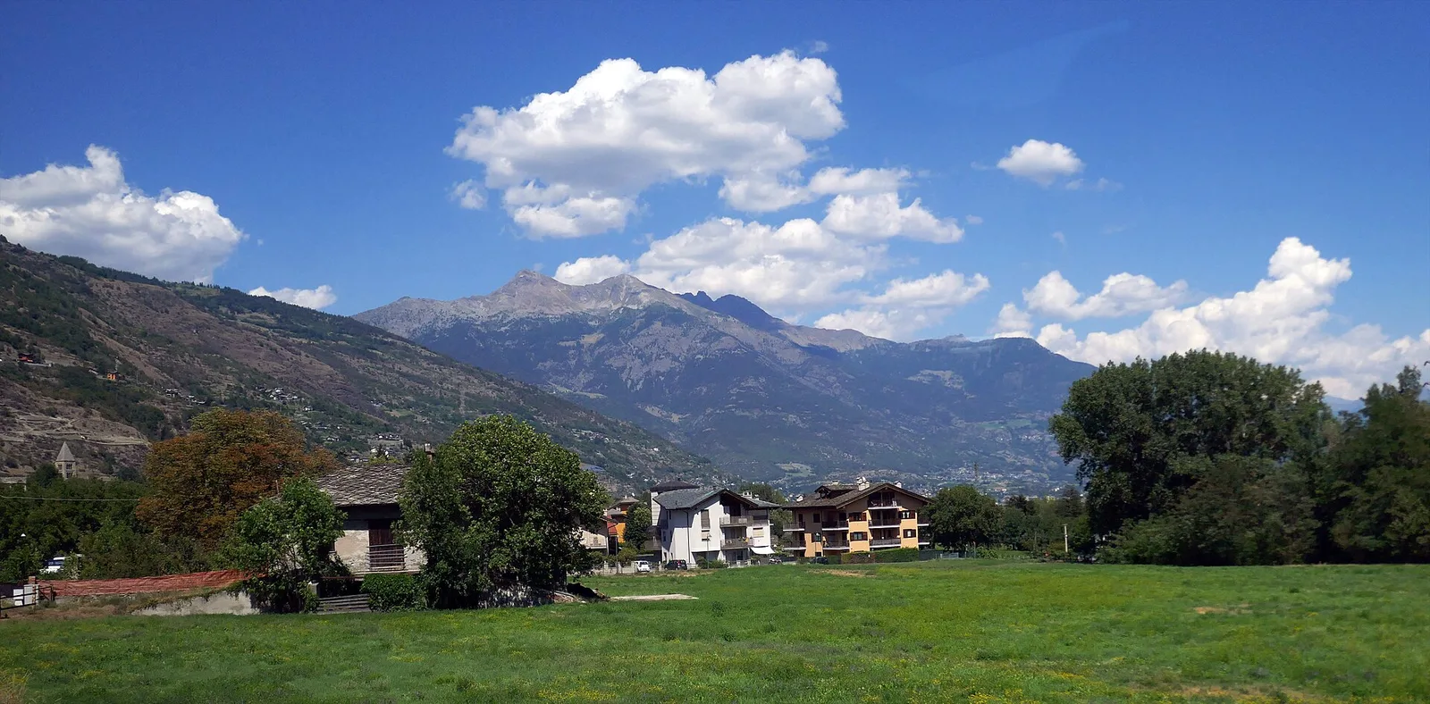
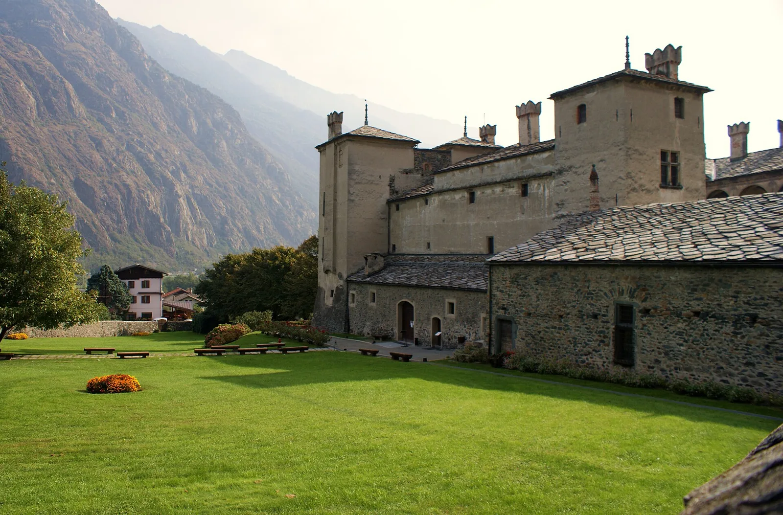
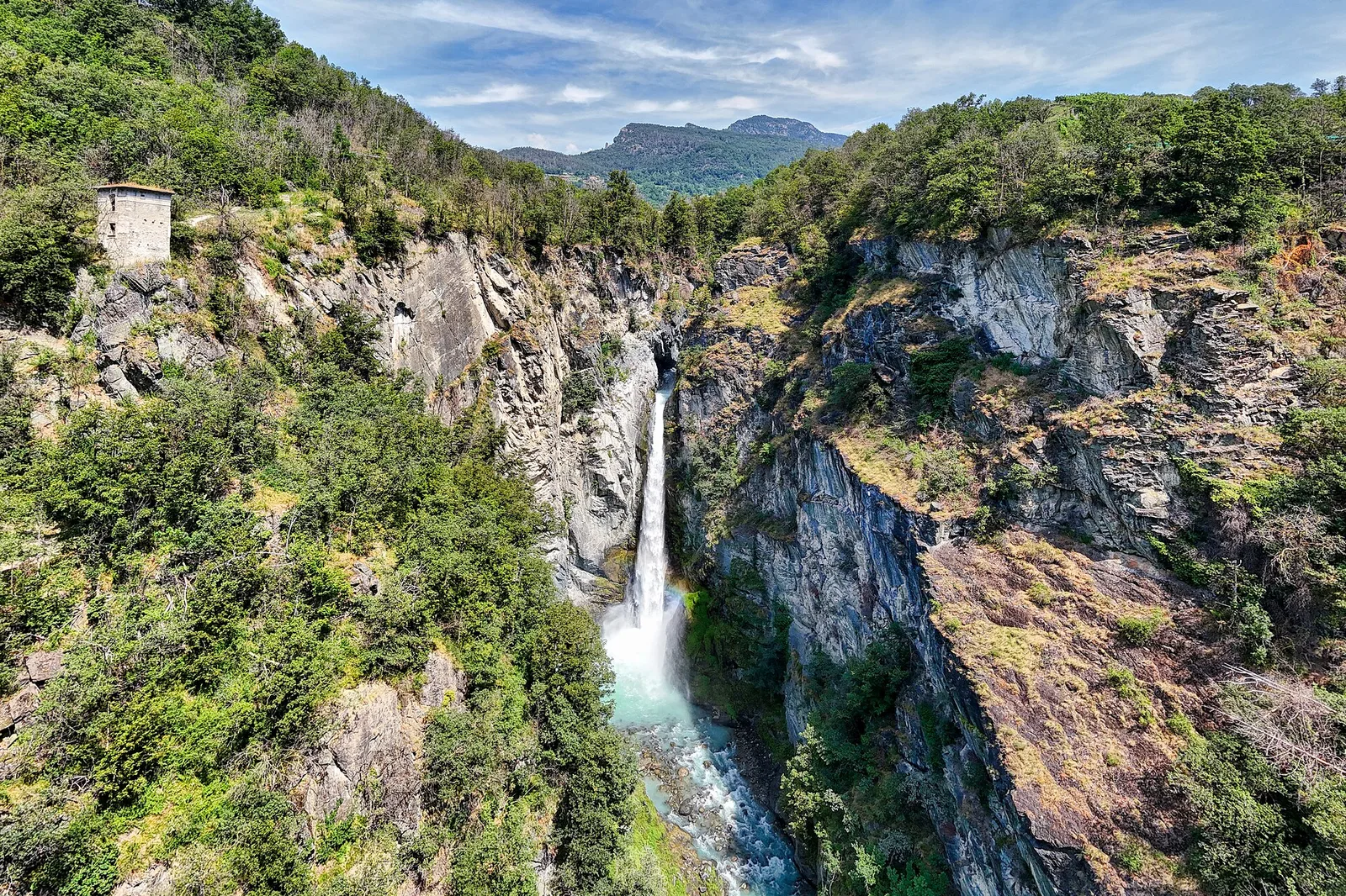
Val di Cogne
In the Val di Cogne, commune of Aymavilles: an E-rated climb through forest and alpine pastures in the Gran Paradiso National Park.
Valle centrale
5 km · +1265 m · E — from Strada Barbustel to Mont Barbeston (Central Valley).
Valle centrale
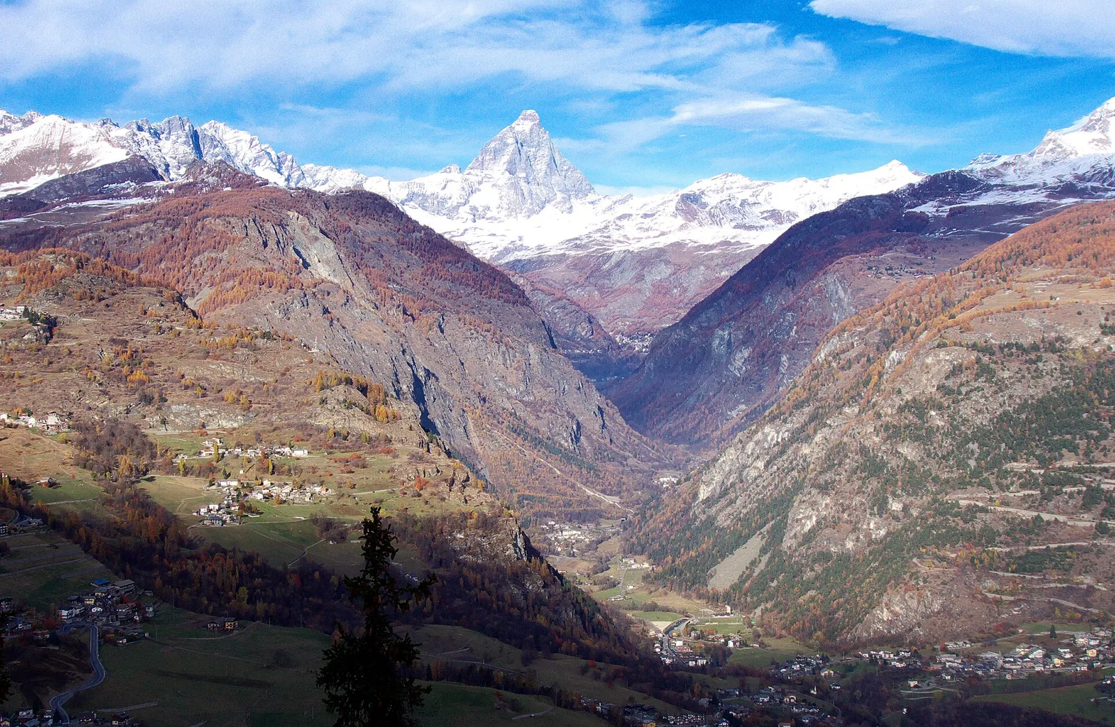
From Blanchard (1731m) to Colle Superiore Cime Bianche (2985m): 8.5 km E with panorama over Gran Paradiso, Rosa, Matterhorn and Mont Blanc. Natura 2000 area between Val d'Ayas and Valtournenche.
Valpelline
3.7 km · +500 m · E — from Blavy to Grandzette (Valpelline).
Valdigne
2 km · +275 m · E — from Cerellaz to Vedun (Valdigne).
Valdigne
A steady climb in the Valdigne from Charbonnière (1,271 m) to Vedun (1,519 m) in the municipality of La Salle: 3.5 km, 380 m ascent.
Valdigne
In the Valdigne, La Salle: an E-rated climb toward upper slope zones with views of Mont Blanc.
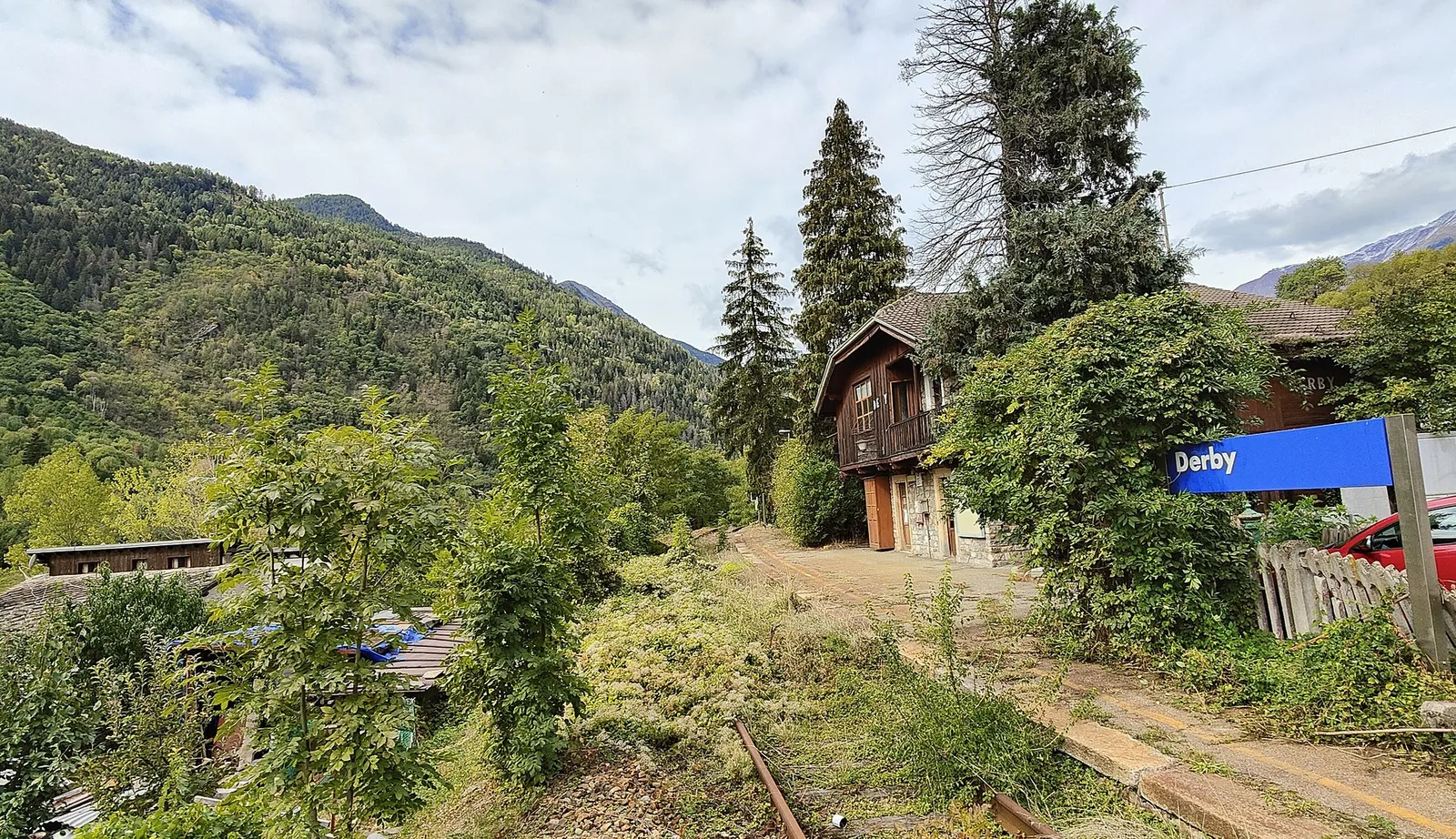
La Thuile
5.2 km · +715 m · E — from Derby, Chiesa to Lazey (La Thuile).
Valle del Gran San Bernardo
14.3 km · +1234 m · E — from Dolonne to Rifugio Elisabetta (Great St Bernard Valley).
La Thuile
5.2 km · +578 m · E — from Echarlod to Vedun (confine comunale Avise) (La Thuile).
Valle del Lys
1.4 km · +0 m · E — from Epinel to Str.Regionale.Cretaz (Lys Valley).
Valle centrale
1.5 km · +313 m · E — from Fossaz to Fournaise (Central Valley).
Valtournenche
5.7 km · +0 m · E — from Parcheggio Dondena to Lac Muffé (Valtournenche).
Valtournenche
In the commune of Antey-Saint-André, Valtournenche: an E-rated route between hamlets and pastures on the sunny slope.

Valpelline
2.8 km · +376 m · E — from Confine Comunale Antey -Torgnon to Fontin Dameun (Valpelline).
Valtournenche
In the commune of Torgnon, Valtournenche: a panoramic route through forest, pastures and hamlets of the Aosta Valley mid-mountain.
Valsavarenche
4.2 km · +1074 m · E — from La Clévaz to Plan Fiou (Valsavarenche).
Valle del Gran San Bernardo
1.8 km · +163 m · E — from La Palud to Planpincieux (Great St Bernard Valley).
Valsavarenche
4.8 km · +1134 m · E — from La Raffort - Centrale to Cormoney (Valsavarenche).
Valle del Lys
5.2 km · +1204 m · EE — from Maisonnasse to Col de Raye Chevrère (Lys Valley).
Valle centrale
2.3 km · +427 m · E — from Mayen to Pâquier (Cré-du-Pont) (Central Valley).
Valtournenche
3.9 km · +1057 m · E — from Omens to Bec de l'Oie (Valtournenche).
Val di Cogne
1.4 km · +137 m · E — from Ozein to Strada per Torlin (Cogne Valley).
Val d'Ayas
3.1 km · +425 m · E — from Paysan to Miniere di Bechaz (Ayas Valley).
Val d'Ayas
1.2 km · +160 m · E — from Pilaz to Fontaines de Goillaz (Ayas Valley).
Valtournenche
3.9 km · +896 m · E — from Pingaz to Torlin dessus (Valtournenche).
Valle del Lys
8.2 km · +936 m · E — from Pommier to Plan Clavalité (Lys Valley).
Valtournenche
5.5 km · +1218 m · E — from Pramotton to Fontanet (Valtournenche).
Valle del Lys
3.2 km · +490 m · E — from Prati di Sant'Orso - Buthier to Les Ors (Lys Valley).
Valle centrale
6.3 km · +1304 m · E — from Saint-Léonard to Mont Flassin (Central Valley).
Valle del Gran San Bernardo
2.7 km · +185 m · E — from Saint-Oyen to Saint-Léonard (Great St Bernard Valley).
Valle centrale
4.8 km · +1070 m · E — from Saint-Roch to La Borney (Central Valley).
Valle centrale
3.8 km · +1070 m · E — from Saint-Roch to La Borney (Central Valley).

Val d'Ayas
2 km · +370 m · E — from Strada Regionale to Arbaz (Ayas Valley).
Valle centrale
5.6 km · +1100 m · E — from Strada regionale per Arpy to Croix du Folliet (Central Valley).
Valle del Lys
2.6 km · +97 m · E — from Thovex to Granges (Lys Valley).
Valle del Lys
6.4 km · +1110 m · E — from Tillier to Druges (Lys Valley).
Valle del Gran San Bernardo
5.7 km · +1091 m · E — from Toffo (Montjovet) to Sommarèse (Great St Bernard Valley).

Valdigne
In the commune of La Salle, Valdigne: an accessible route through forest and vineyards toward upper hamlets.
Val d'Ayas
3.3 km · +600 m · E — from Ponti Romani to Tron damon (Ayas Valley).
Valle centrale
3.9 km · +713 m · E — from Veynes to Valtolanaz (Central Valley).
Valle centrale
2.9 km · +680 m · E — from Veynes to Valtolanaz (Central Valley).
Valle centrale
3.7 km · +616 m · E — from Vesey damon to Lac de Panaz (Central Valley).