
E
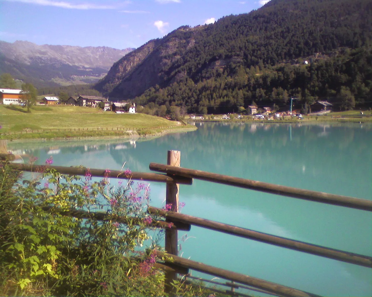
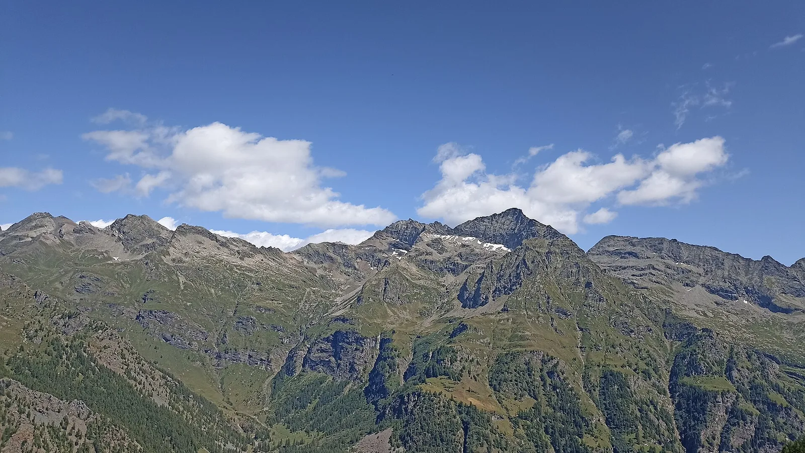
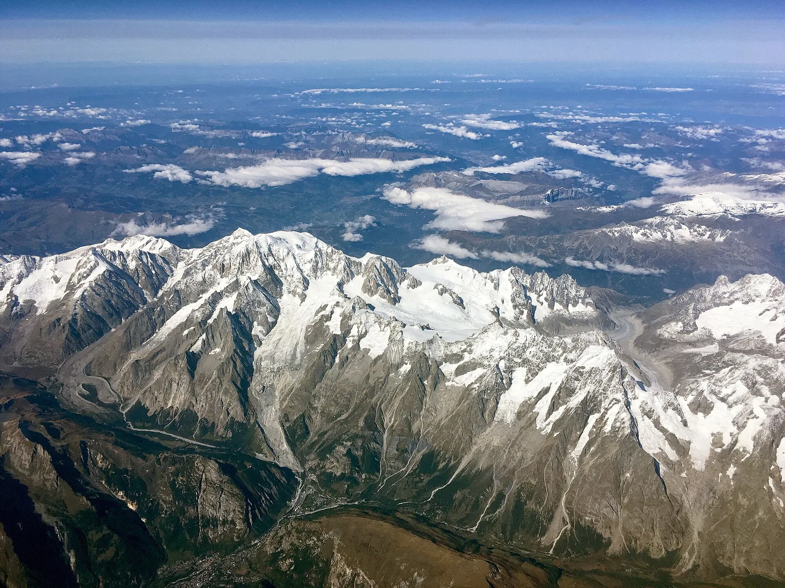
Valle centrale
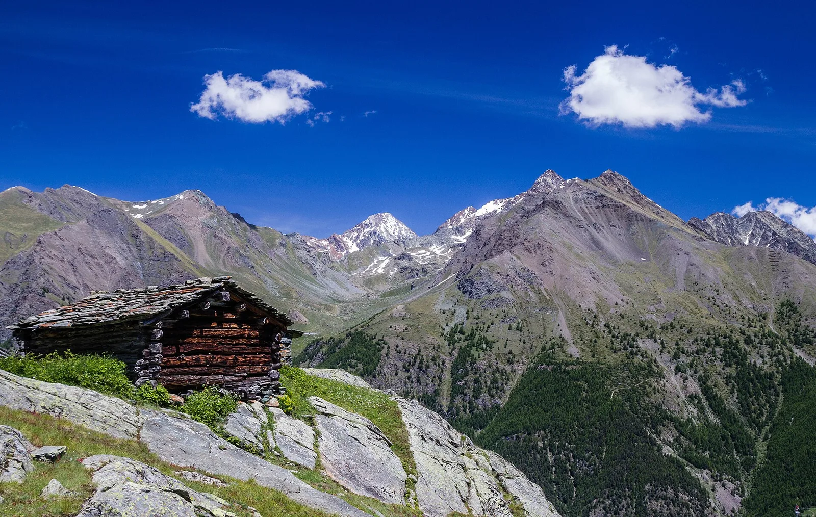
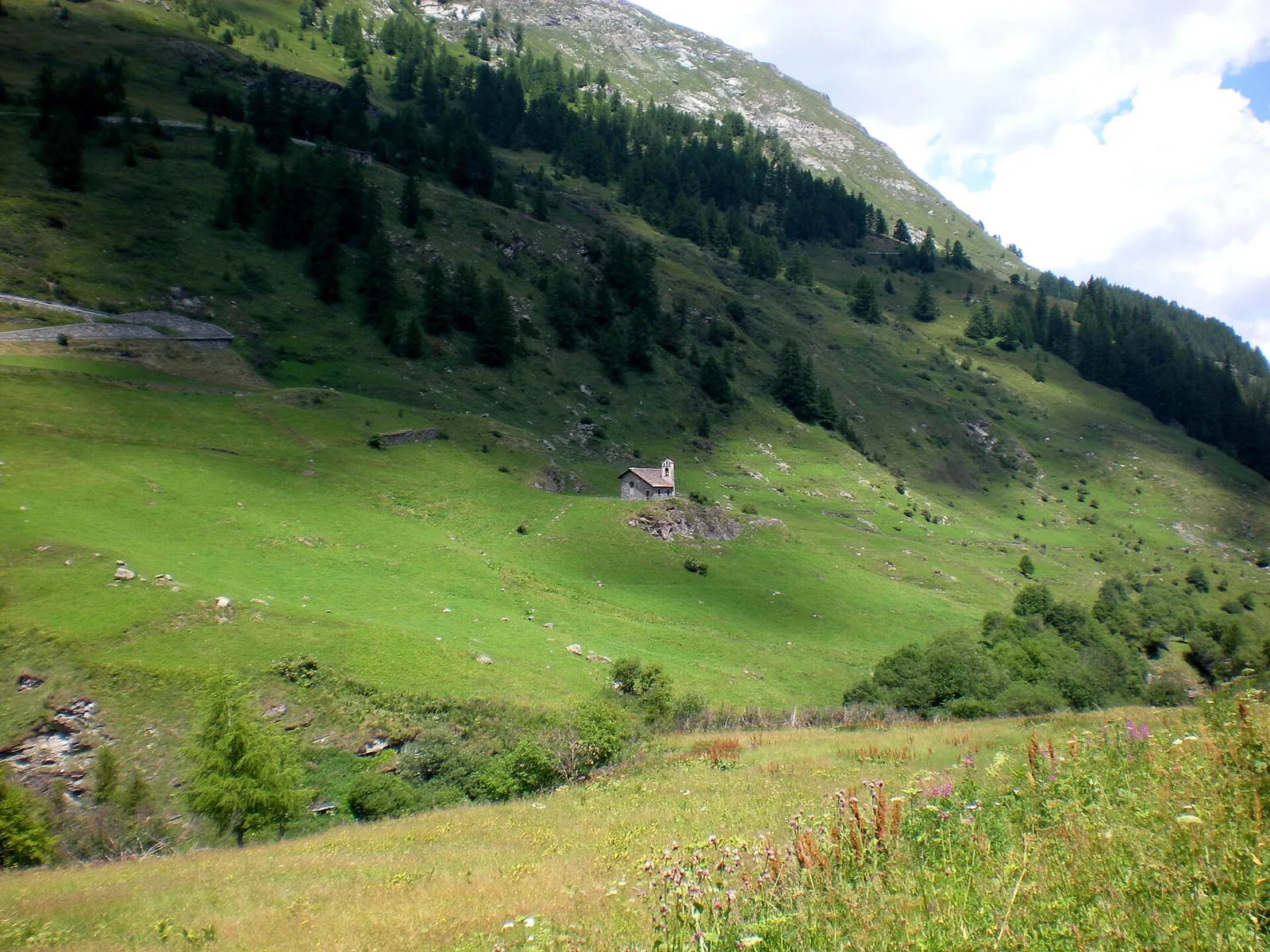
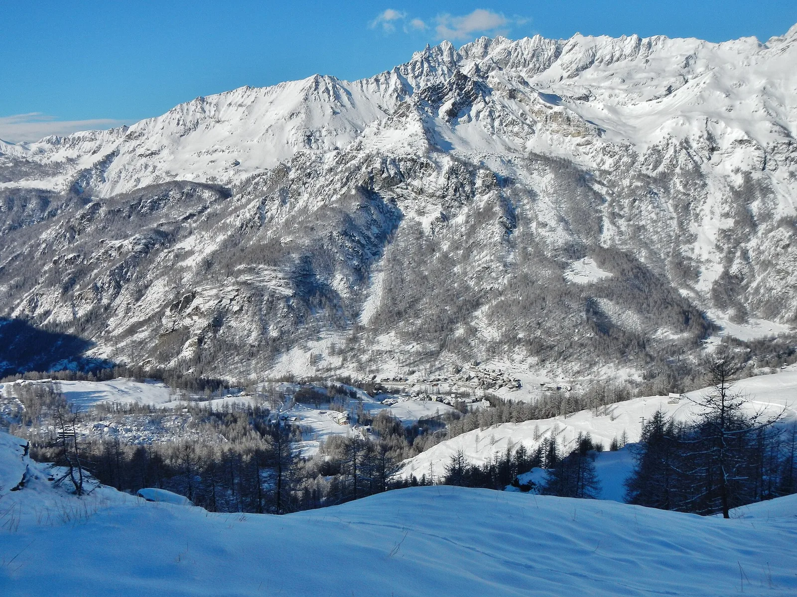
Amponey - Alpe Mascognaz
1.8 km · +309 m · E — from Amponey to Alpe Mascognaz (Central Valley).
1.8 km+309 m1 h
Where to spot
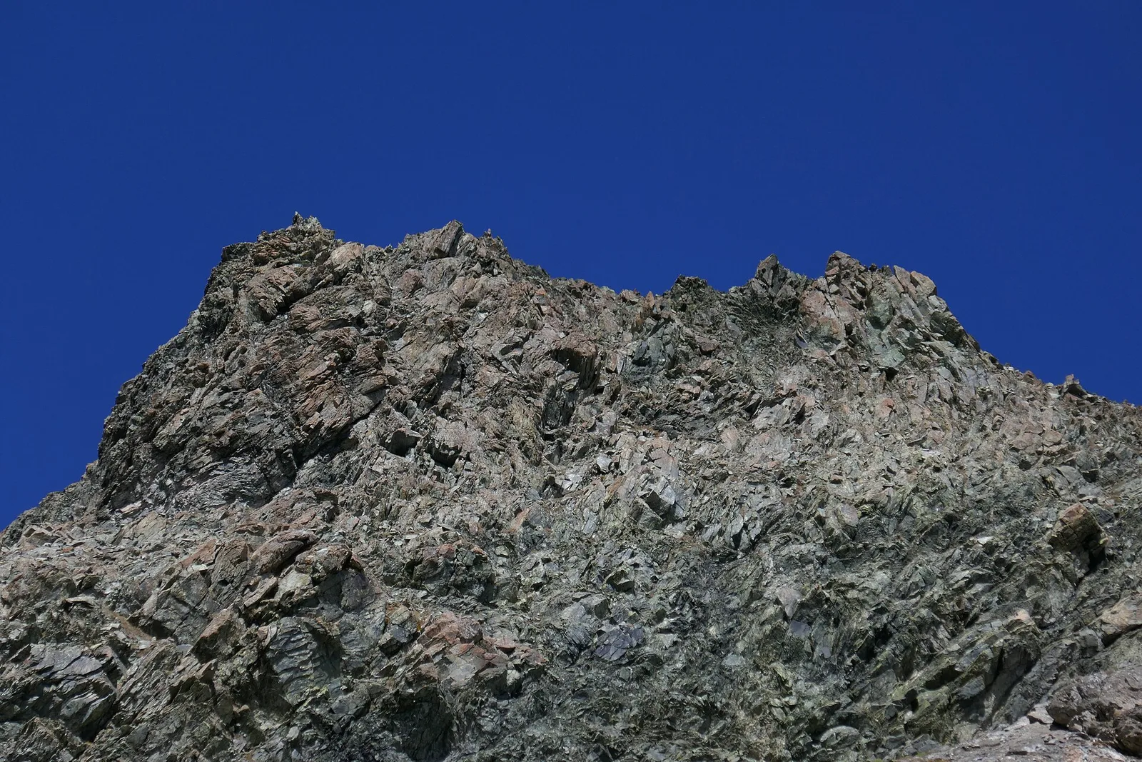
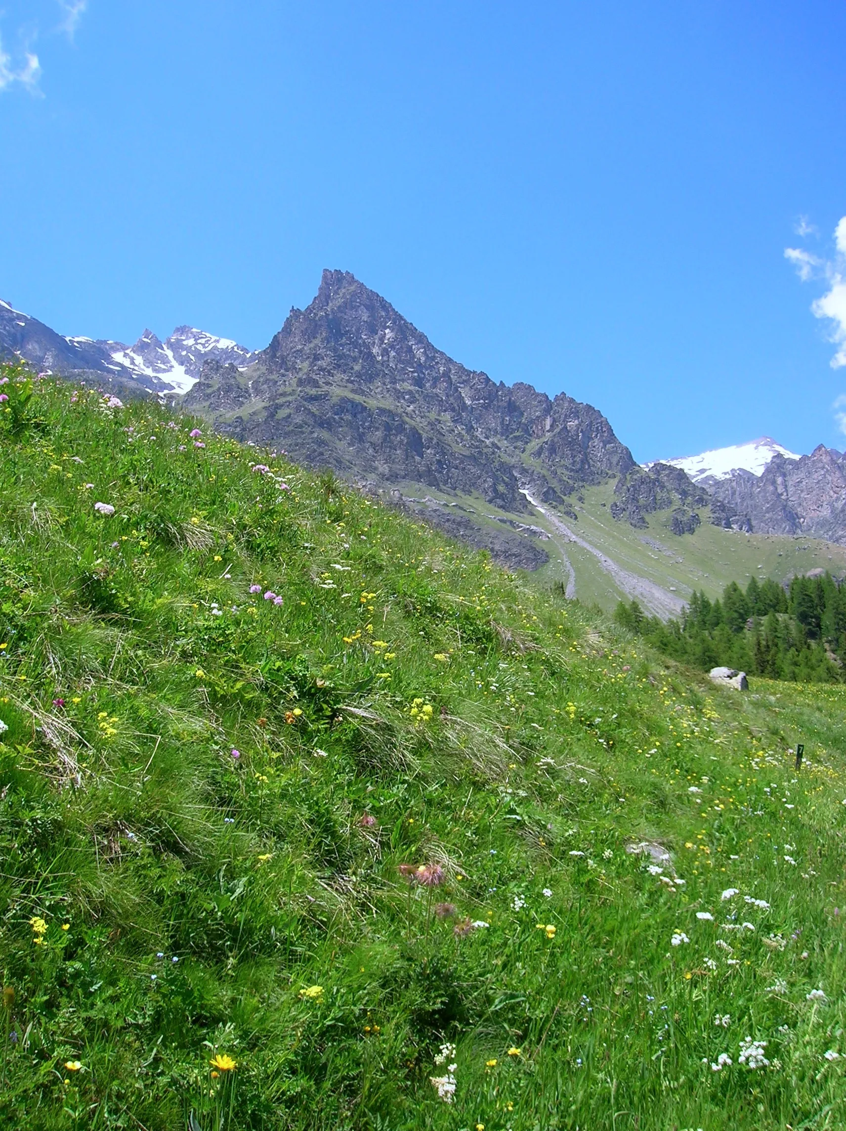
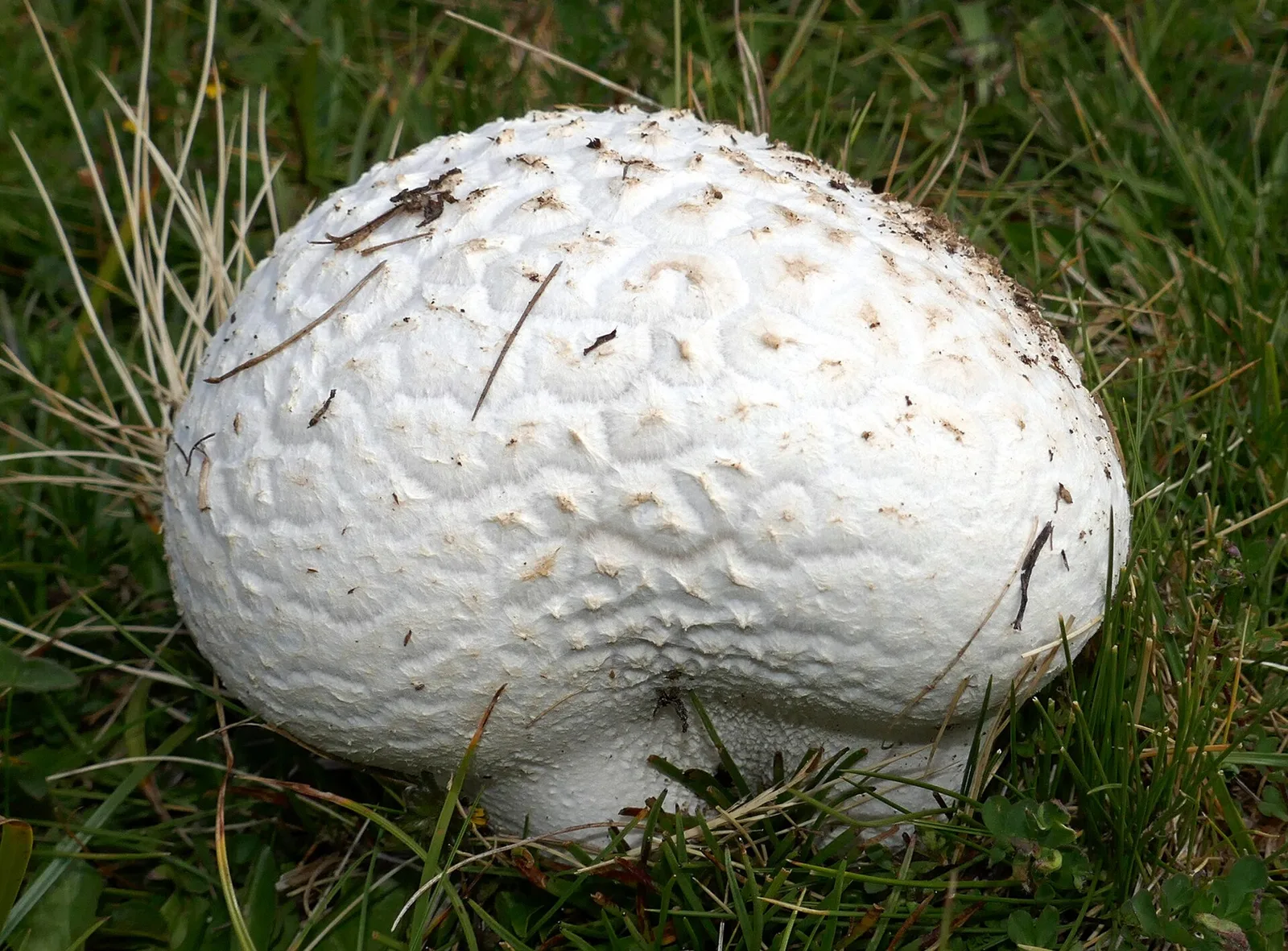
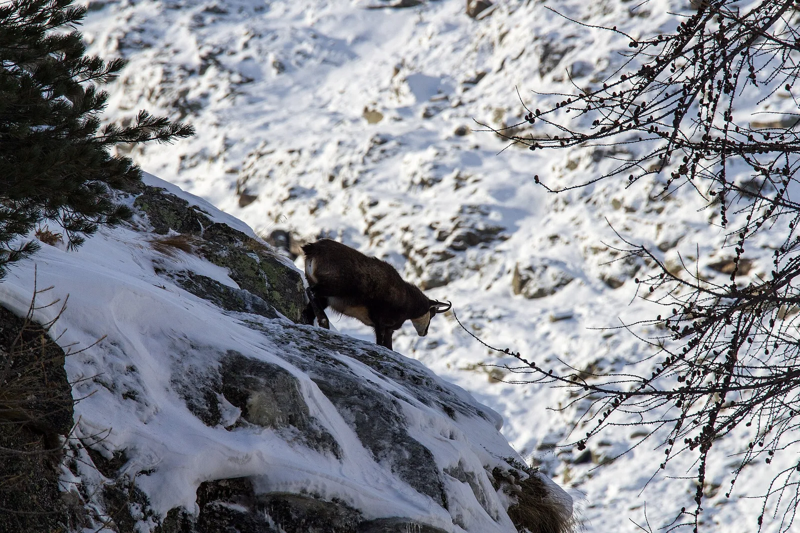
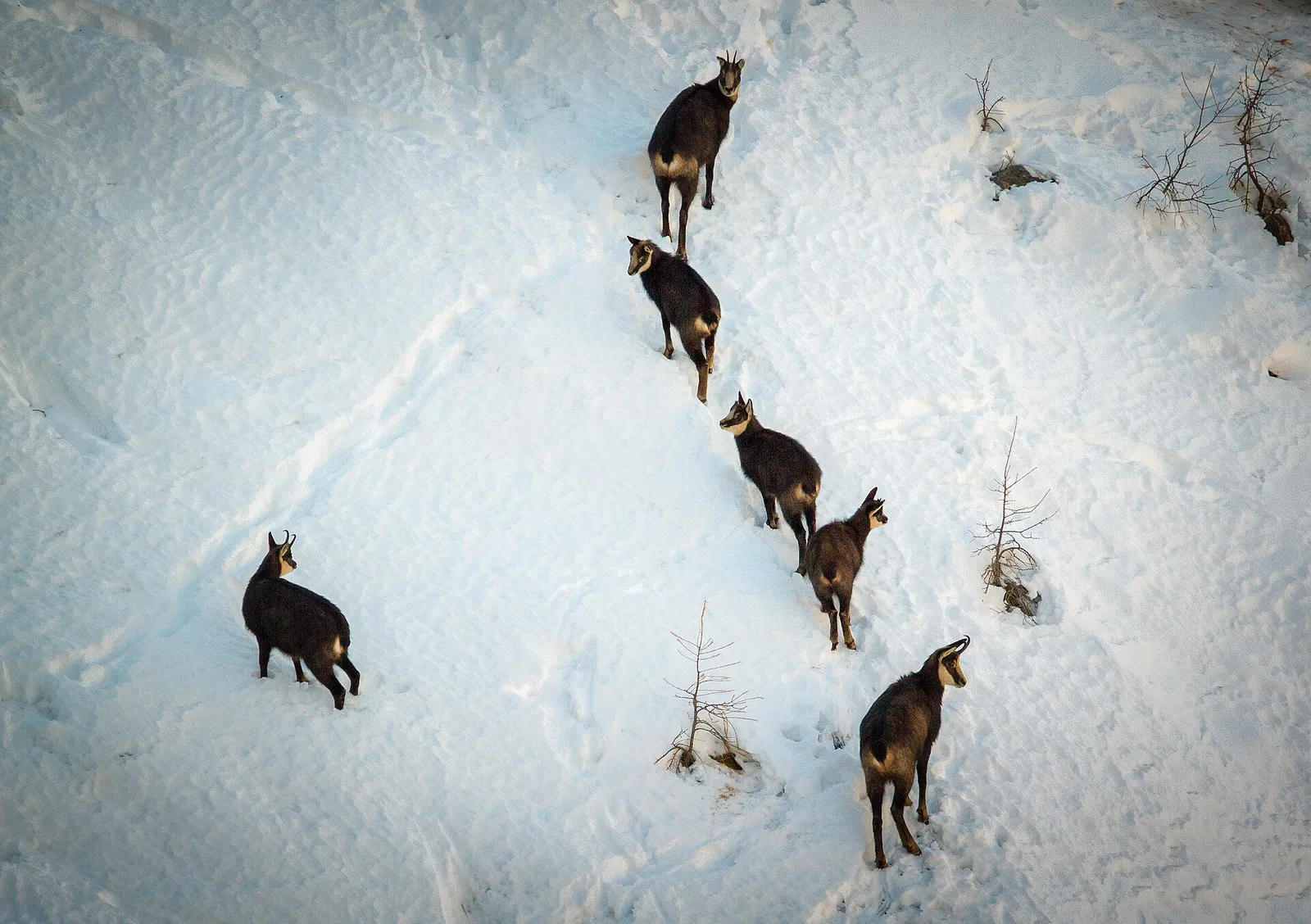
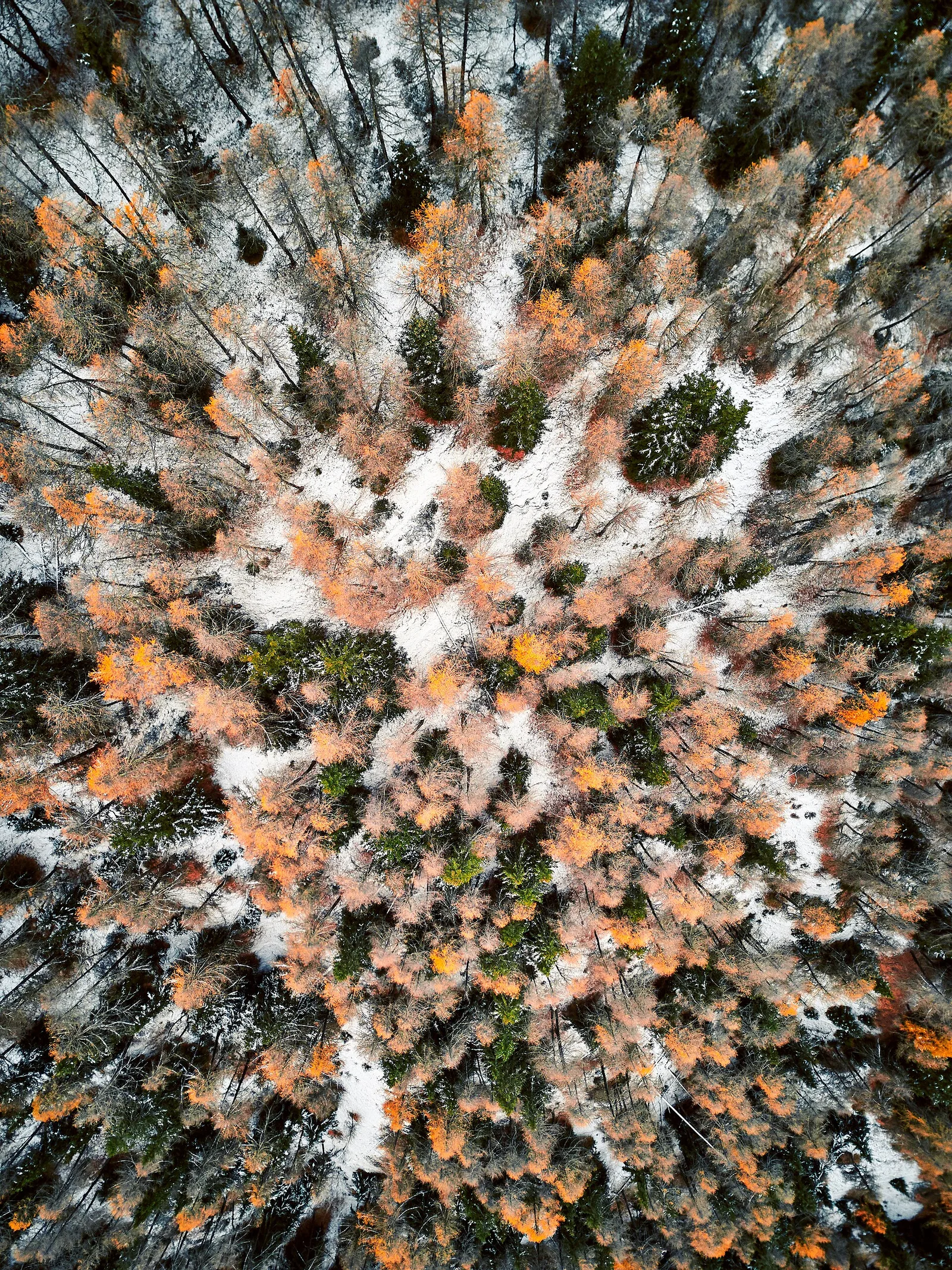
54 trails where Yellow foxglove is listed in flora/fauna: difficulty T–EEA, elevation gain 143–2062 m.
54 · 1.4–13.6 km · +143–2062 m
Valle centrale
1.8 km · +309 m · E — from Amponey to Alpe Mascognaz (Central Valley).
Val d'Ayas
An easy T-rated stroll from Arcésaz to Brusson along irrigation canals and mid-slope paths in the Val d'Ayas: 3.6 km, no difficulty, suitable for families and all levels.
Valle del Gran San Bernardo
4.9 km · +961 m · E — from Arp.Nouva to Bivacco Florio (Refuge du Dolent) (Great St Bernard Valley).
Valle del Gran San Bernardo
4.2 km · +814 m · EE — from Arp.Nouva to Rifugio Dalmazzi (Great St Bernard Valley).

Valle del Lys
2.1 km · +333 m · E — from Arpilles to Champromenty (Lys Valley).

Valtournenche
1.6 km · +397 m · E — from Barme to Carogne (Valtournenche).
Valdigne
6 km · +828 m · E — from Bellecombe to Thoule (Valdigne).
Valle centrale
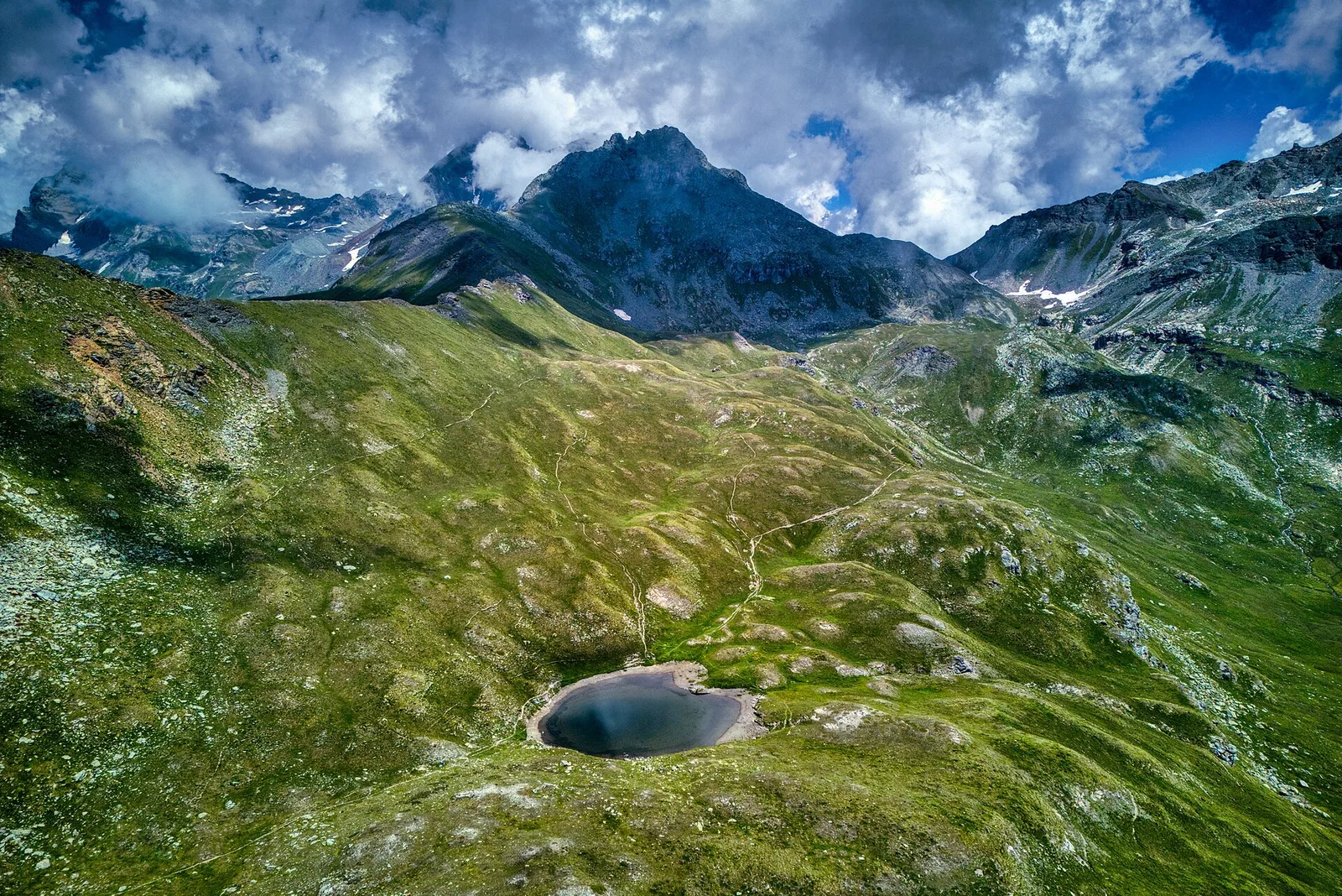
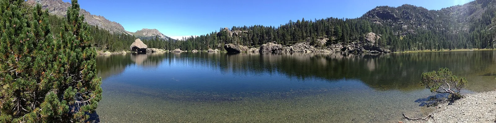
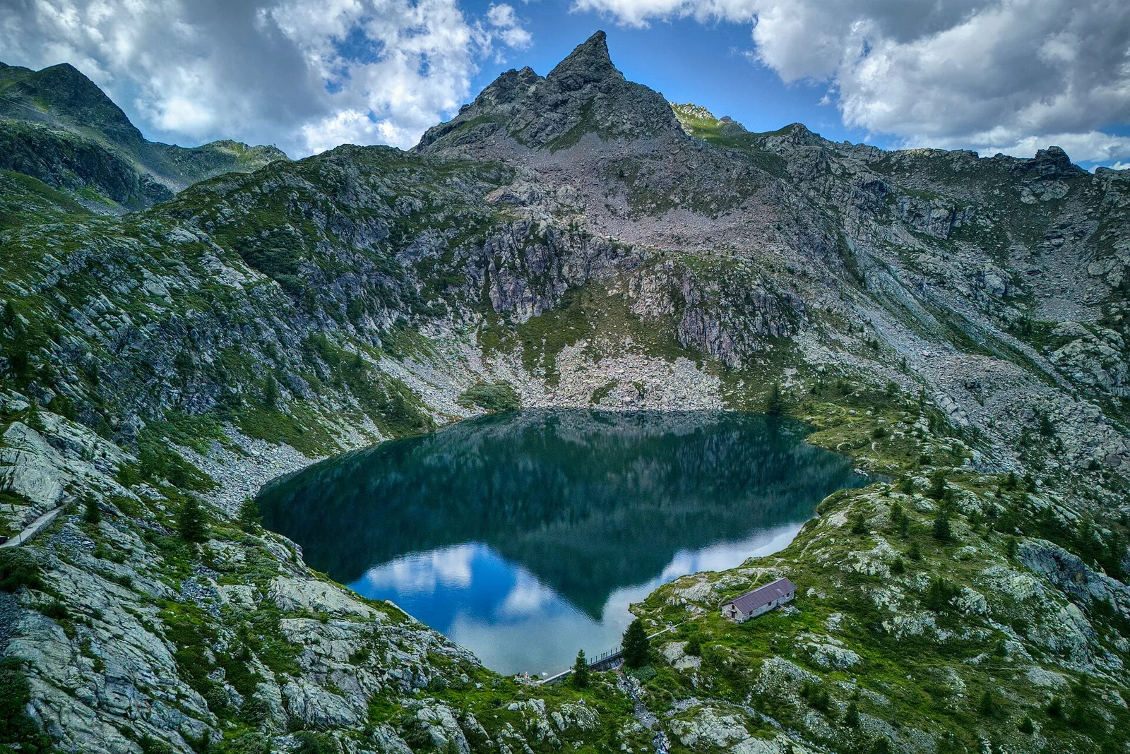
From Blanchard (1731 m) to Grand Lac (2815 m) with Alta Via 3 connection: 7.5 km, +1085 m. Scenic alpine lake and long-distance trail link. E.
Valle centrale
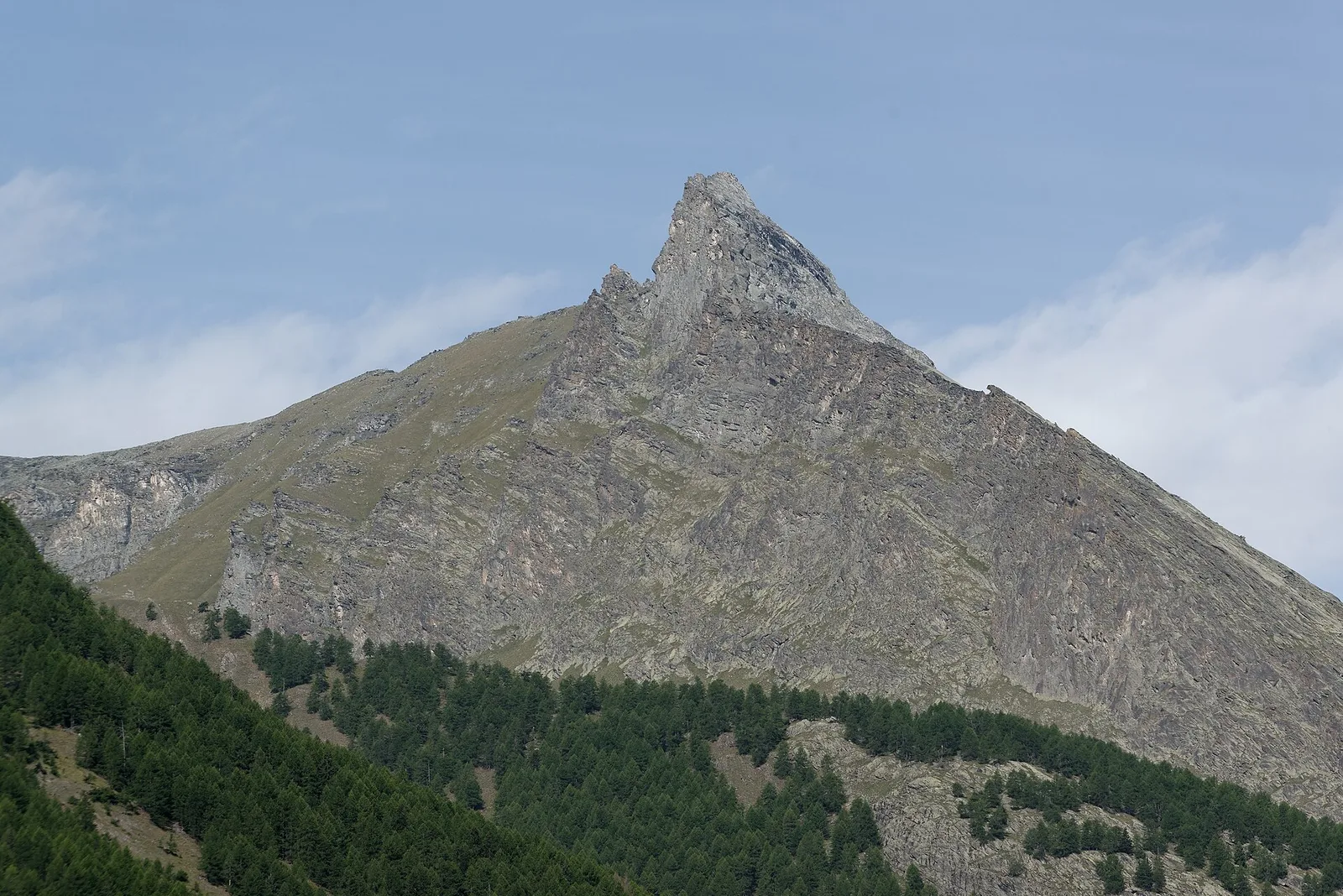
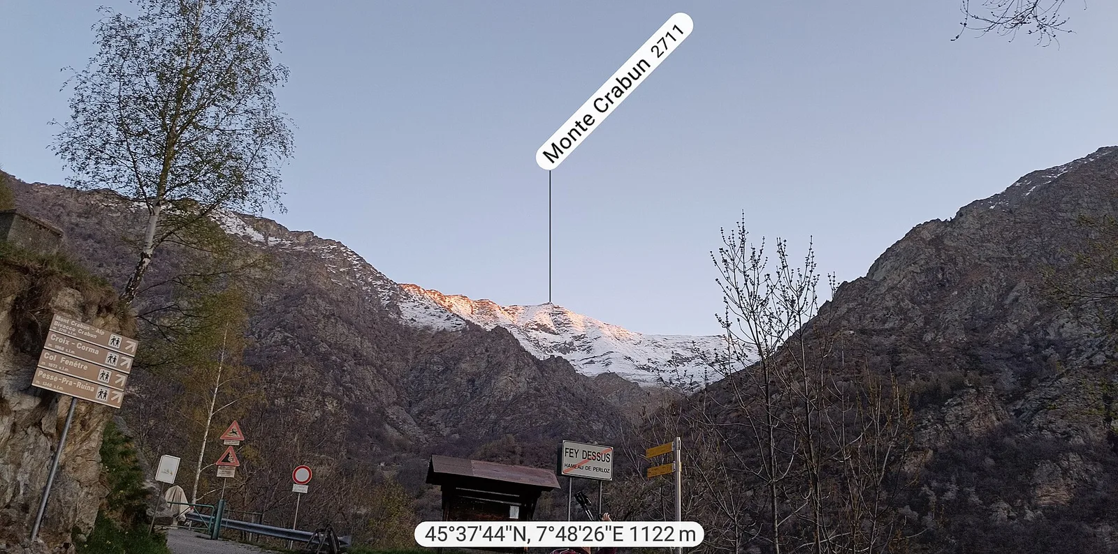
Exceptional ascent from Bonavessy (658 m) to Mont Crabun (2711 m): +2062 m in 8.7 km. Expert hikers only, early start required. EE.
Valle centrale
4.5 km · +937 m · EE — from Capiron to Mont Lyan (Central Valley).
Valle centrale
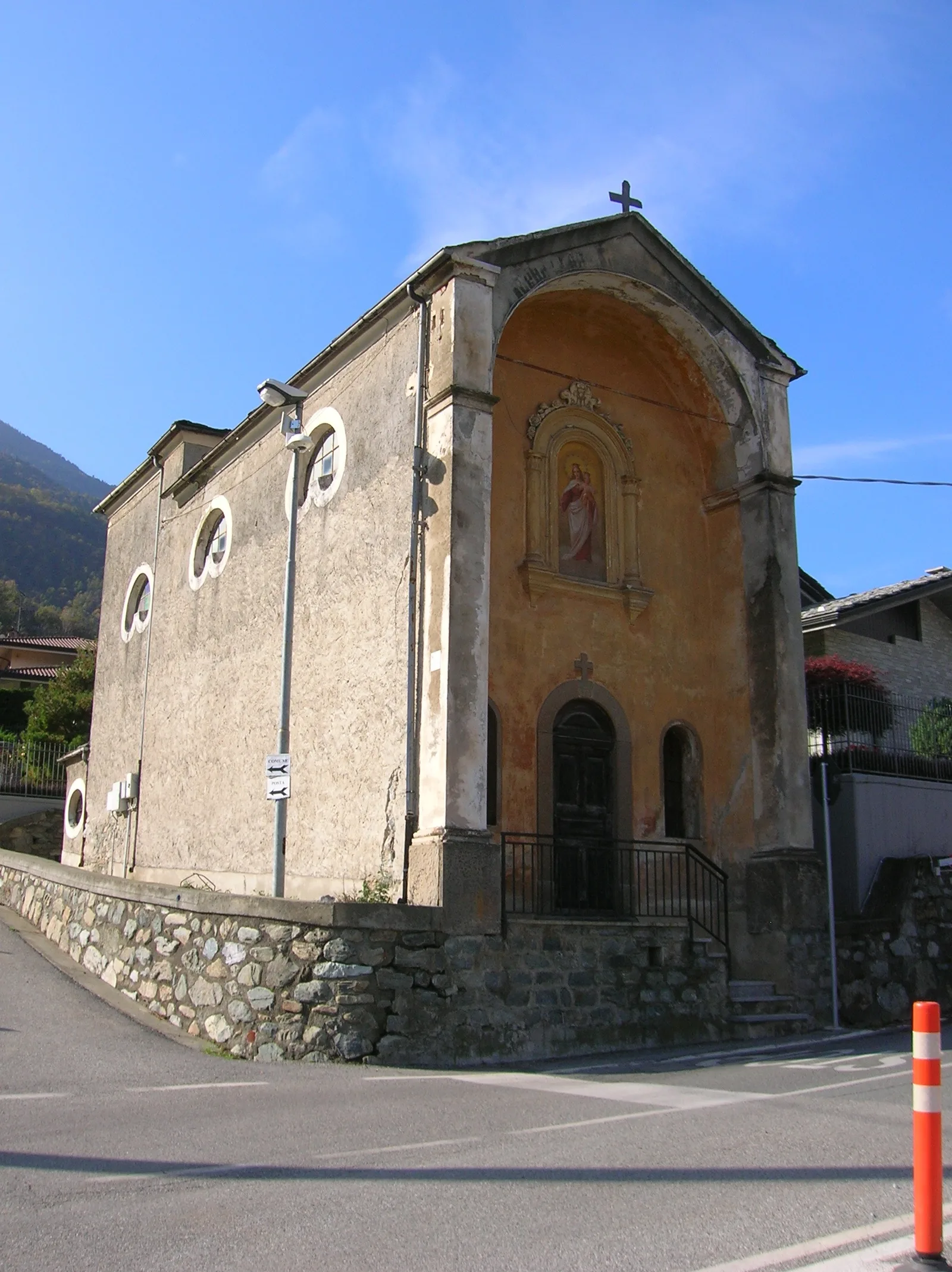
2.4 km · +471 m · E — from Cappella Sant'Erasmo to Reserve Naturelle de Holay (Central Valley).
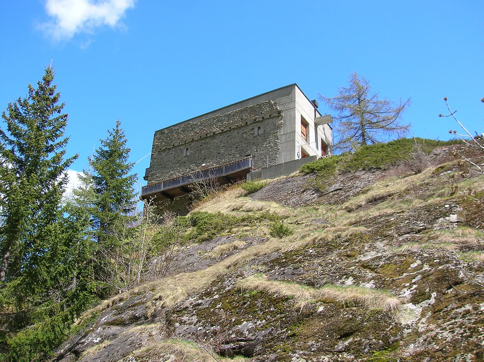
Valle centrale
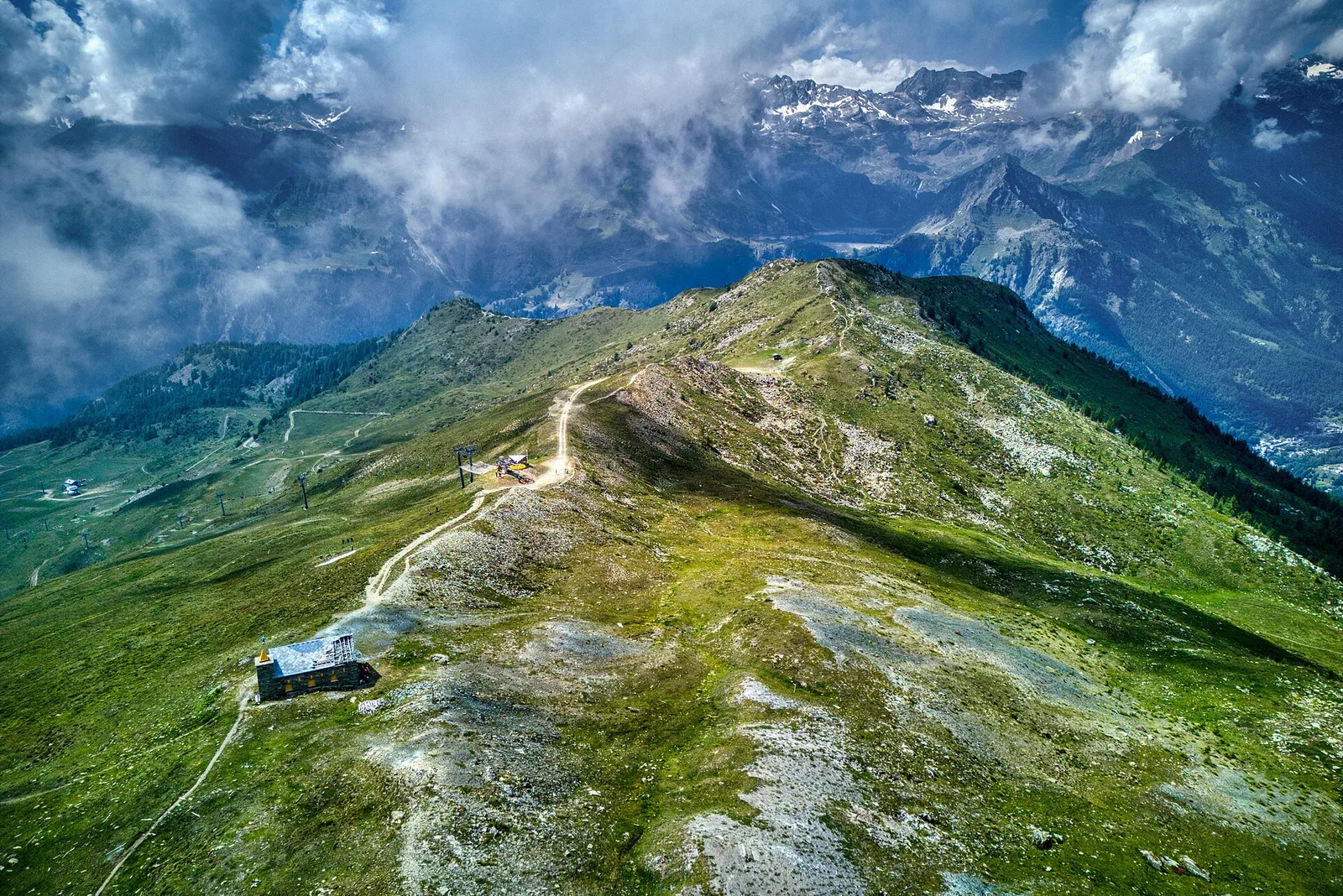
From Chamois (1812 m) — Italy's only road-free municipality — to trail junction 4 at 2600 m. 779 m ascent over high pastures above the central Aosta Valley.
Valle centrale
6.6 km · +982 m · E — from Chamois to Col de Nannaz (Central Valley).
Valle del Lys
7 km · +1299 m · E — from Chenaux to Arpisson (Lys Valley).
Valle del Lys
1.7 km · +446 m · E — from Chevrère to Poignon (confine comunale Villeneuve) (Lys Valley).
Valdigne
6 km · +1256 m · E — from Clapey to Alpe Valmeriana (Valdigne).
Valle del Lys
4.3 km · +660 m · E — from Cogne to Belvedere (Lys Valley).
Valle centrale
8 km · +1073 m · E — from Covarey to Col de la Croix (Central Valley).
Valtournenche
1.4 km · +297 m · EE — from Echelly to Grand-Rosier (Valtournenche).
Valle del Lys
6.9 km · +1772 m · E — from Epinel to Bivacco Gratton (Lys Valley).
Val di Rhêmes
9.7 km · +1194 m · E — from Fonteil to Col de Saint-Barthélem (Rhêmes Valley).
Valle centrale
4.2 km · +453 m · E — from Fossaz to Cerlogne (Central Valley).
Valpelline
7 km · +1273 m · E — from Glacier to Colle Fenêtre Durand (Valpelline).
Valle del Lys
5.9 km · +1689 m · EEA — from Capoluogo to Testa Grigia (Groabhopt) (Lys Valley).
Valsavarenche
4.3 km · +659 m · E — from Chiesa di San Giorgio to Biel (Valsavarenche).
Valsavarenche
4.8 km · +1134 m · E — from La Raffort - Centrale to Cormoney (Valsavarenche).
Valgrisenche
2 km · +207 m · E — from La Ravoire to Castello di Montmayeur (Valgrisenche).
Valle del Lys
6.9 km · +1065 m · E — from Le Crin to Col de Médzove (Lys Valley).
Valle del Lys
8.4 km · +1277 m · EE — from Le Crin to Col Fénis (Lys Valley).
Valle centrale
3.3 km · +259 m · T — from Liarey to Chabodey (La Salle) (Central Valley).
Valle del Lys
13.6 km · +1226 m · E — from Lillaz to Col Finestra (Lys Valley).
Valle del Lys
12.3 km · +1392 m · E — from Lillaz to Santuario di San Besso (Lys Valley).

Valle centrale
5.6 km · +793 m · E — from Lo Pian to Covarey (Parcheggio) (Central Valley).

Valle centrale
6.2 km · +1327 m · E — from Lo Pian to Lac de Panaz (Central Valley).
Valle del Lys
6.1 km · +1274 m · E — from Miserègne to Bec Tolomon (Lys Valley).
Valle centrale
4.1 km · +794 m · E — from Nantey to Pra (Central Valley).
Valtournenche
7.3 km · +1319 m · E — from Outre l'Eve to Col de la Fricolla (Valtournenche).
Valtournenche
3.1 km · +639 m · E — from Outrefer to Pourcil (Valtournenche).
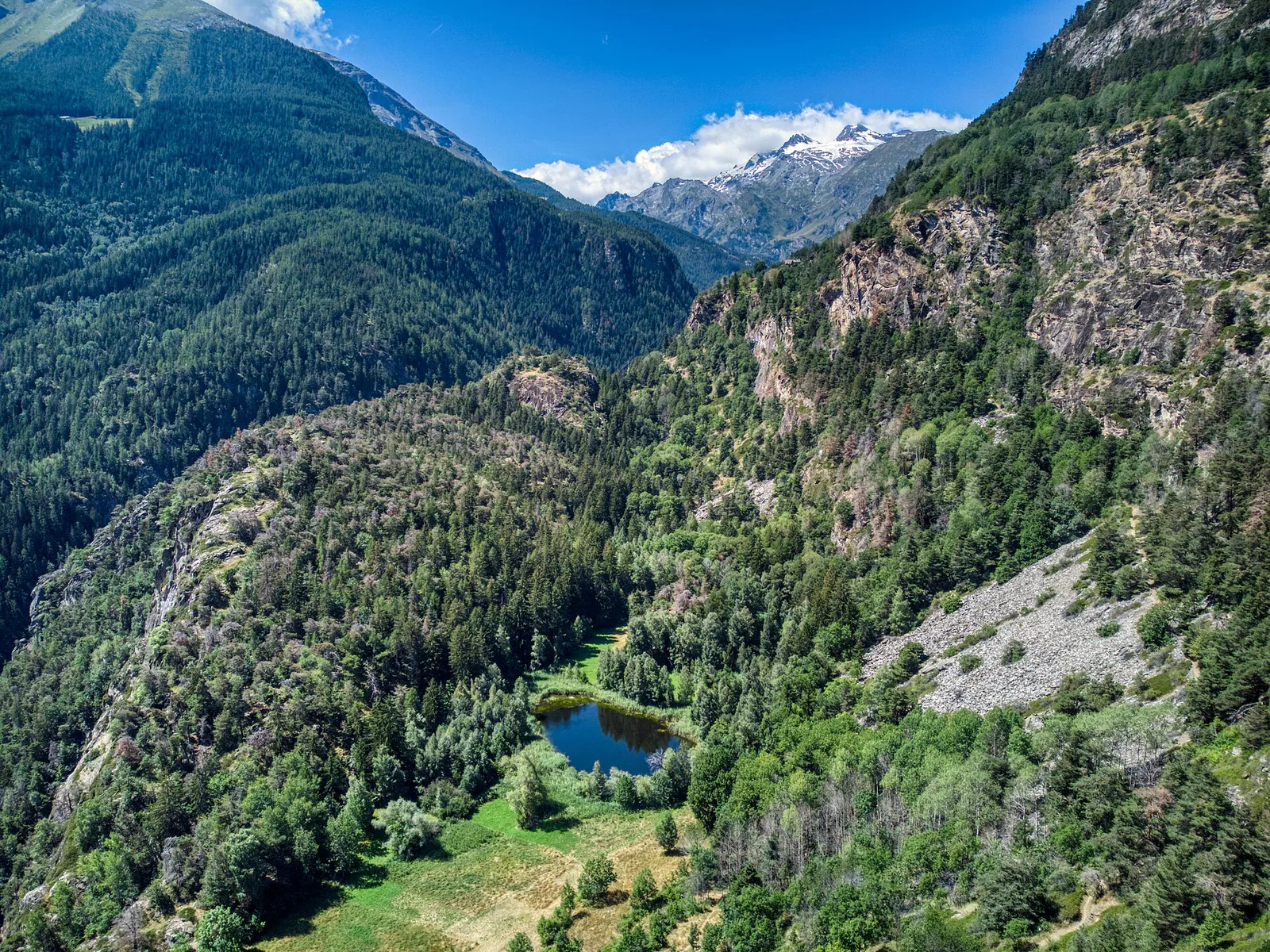
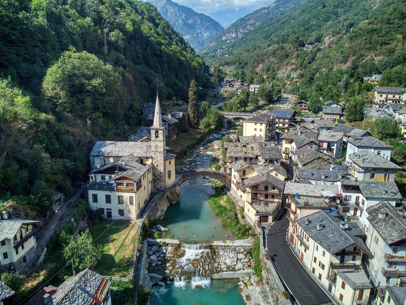
Val di Cogne
From Ozein, the ascent to Pointe de la Pierre climbs through forest, pastures and open alpine terrain to 2642 m, a classic viewpoint over the Pila basin and Val di Cogne.
Valtournenche
4.7 km · +579 m · T — from Piazza E.Chanoux to Carogne (Valtournenche).
Valle del Lys
5.3 km · +794 m · E — from Pila, Gorraz to Pointe du Drinc (Lys Valley).
La Thuile
5.2 km · +575 m · E — from Planaval to Bonalex (La Thuile).
Valgrisenche
In the Valgrisenche, Arvier: an accessible route from the lower valley toward upper hamlets through forest and vineyards.
Val d'Ayas
6 km · +1072 m · E — from Pont du Grand Clapey to Col Manteau (Ayas Valley).
Valle del Lys
1.8 km · +448 m · E — from Posa to Saroun (Lys Valley).
Valtournenche
4.3 km · +507 m · E — from Rocher (inizio divieto) to Rifugio Chalet de l'Epée (Valtournenche).
Val d'Ayas
2.2 km · +375 m · E — from Rovenaud to Maisoncle (Ayas Valley).
Valle del Lys
6.5 km · +838 m · E — from Staffal to Orestes Huette (Lys Valley).
Valtournenche
3.3 km · +597 m · E — from Terme to Banqueun (Valtournenche).
Valpelline
4.5 km · +390 m · E — from Rey to Chatellair-Dessus (Valpelline).
Valle centrale
7.2 km · +1316 m · E — from Tourterouse to Colle Superiore delle Cime Bianche Sud (Central Valley).
Valgrisenche
10.1 km · +1856 m · E — from Ville-Sur-Sarre to Mont-Fallère (Valgrisenche).
Valle del Gran San Bernardo
7.6 km · +995 m · E — from Visaille to Col de la Youlaz (Great St Bernard Valley).
Val d'Ayas
6.3 km · +1402 m · E — from Zengji to Colle Marmontana (Ayas Valley).