EE
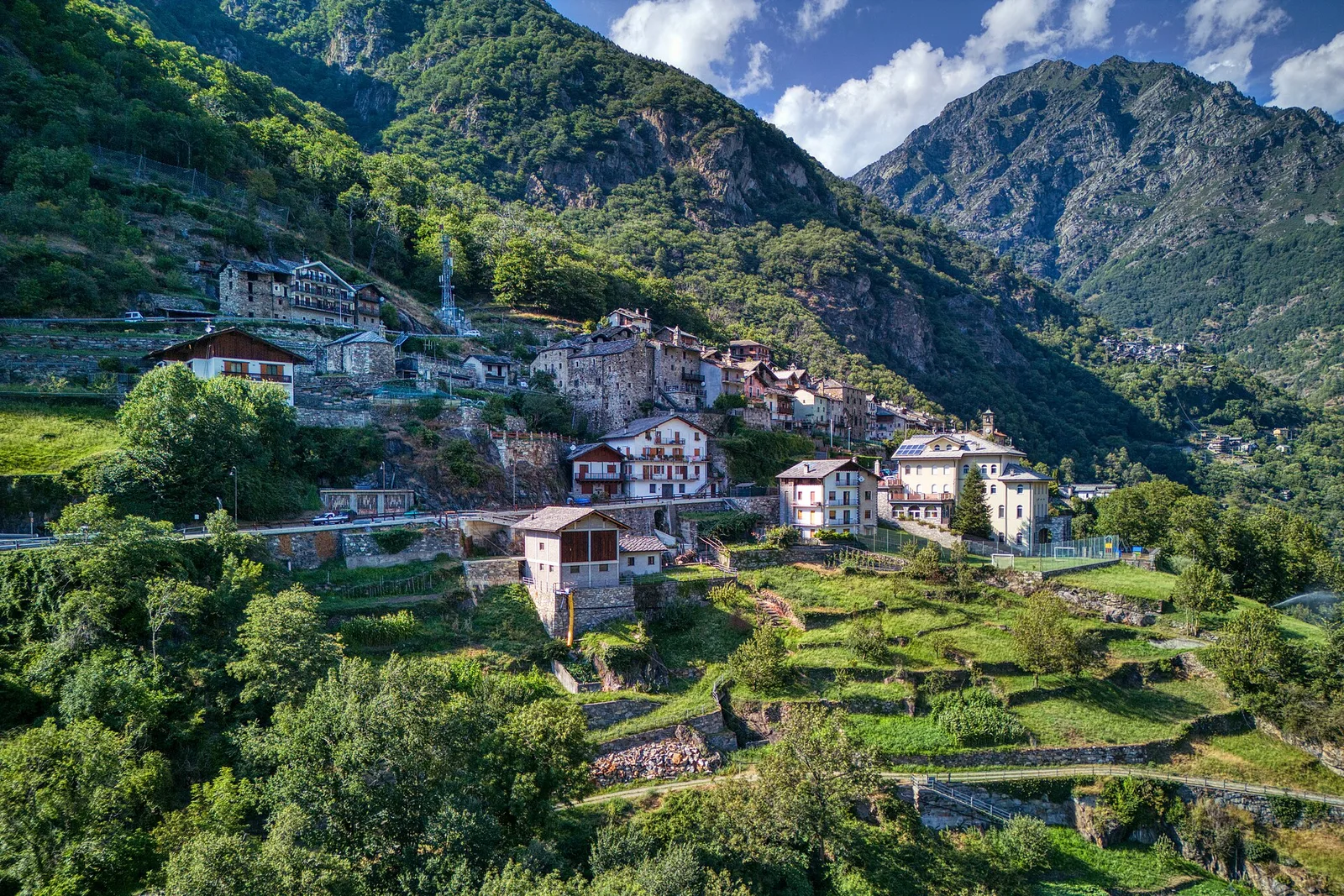
Valle del Gran San Bernardo
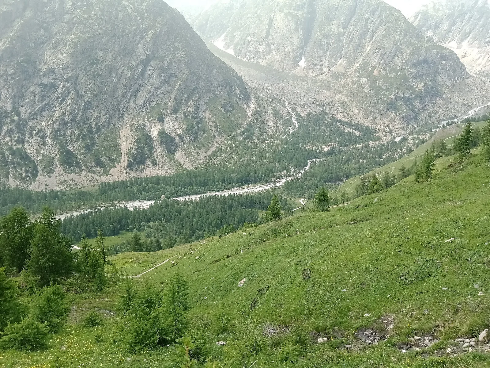
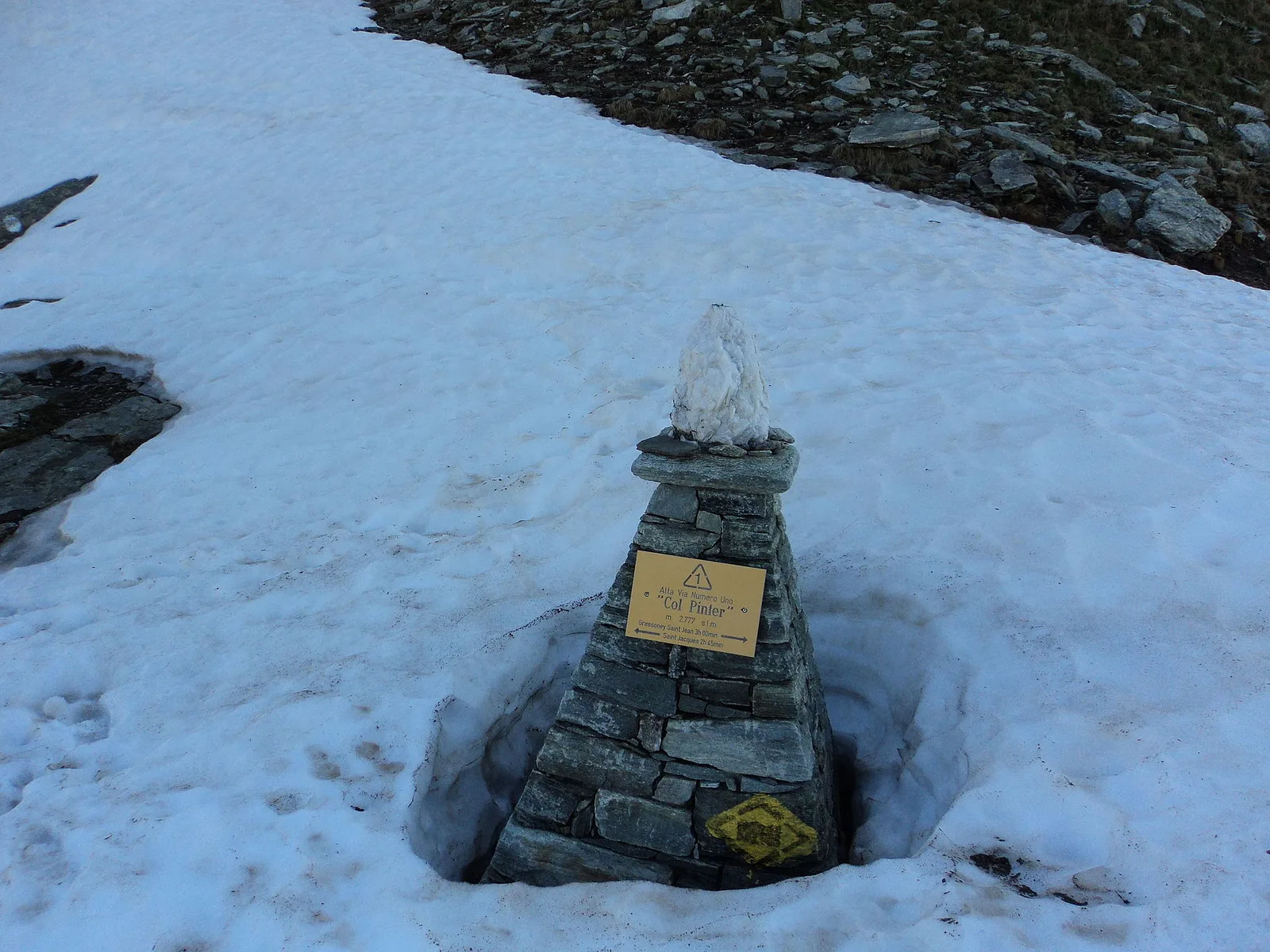
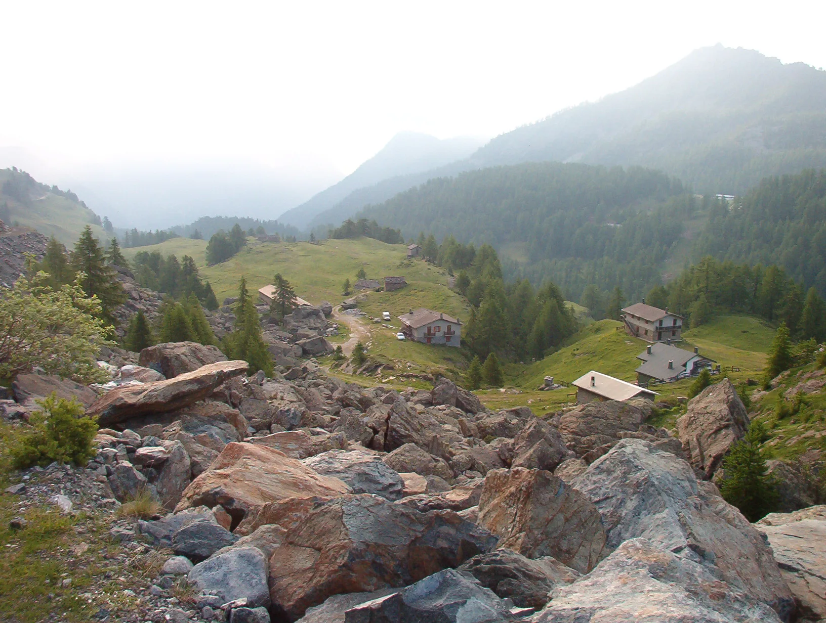
Arp Nouva - Bellecombe - Colle des Angrognettes - Col du Ban Darrey
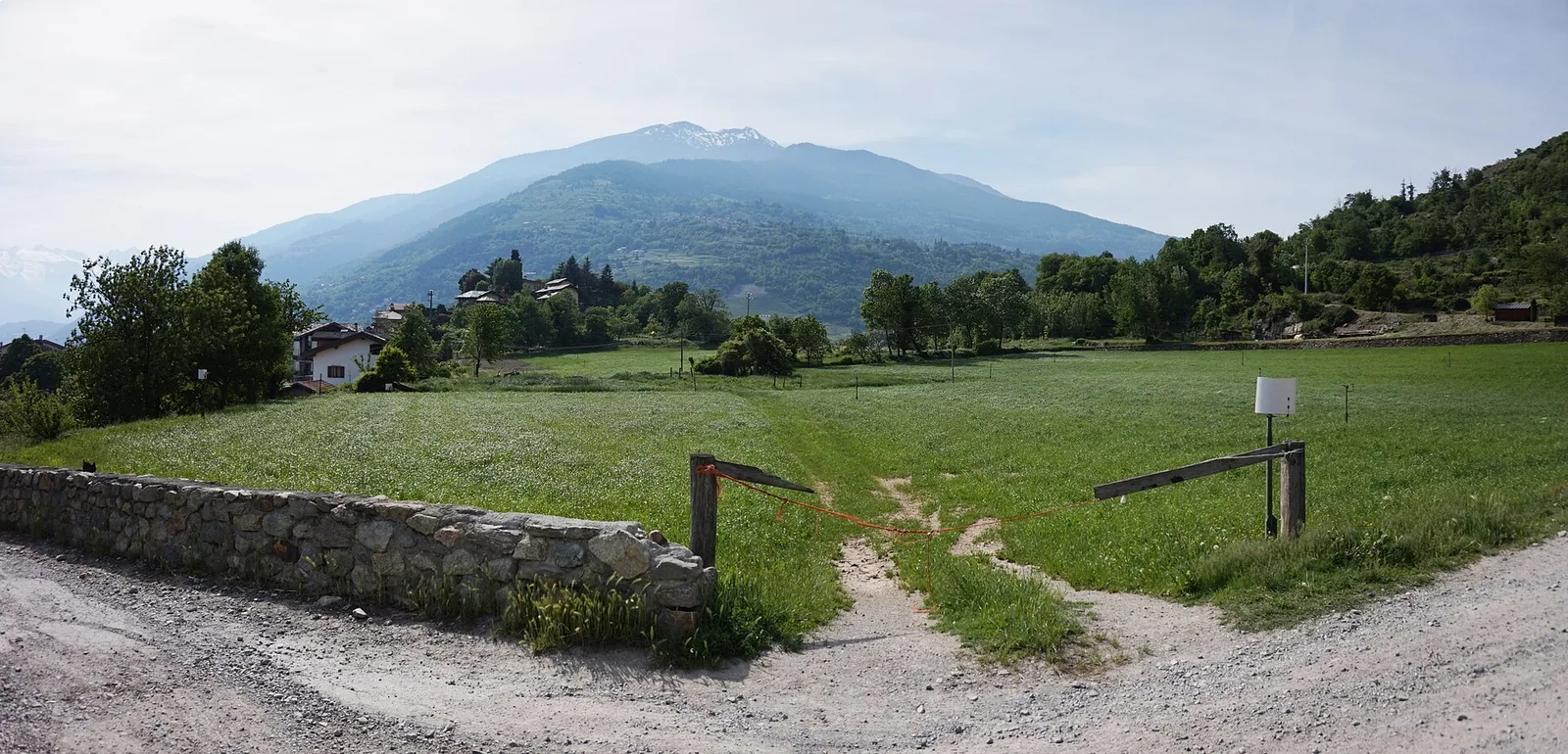
6.8 km · +929 m · EE — from Arp-Nouva to Colle des Angrognettes (Great St Bernard Valley).
6.8 km+929 m4 h
Where to spot
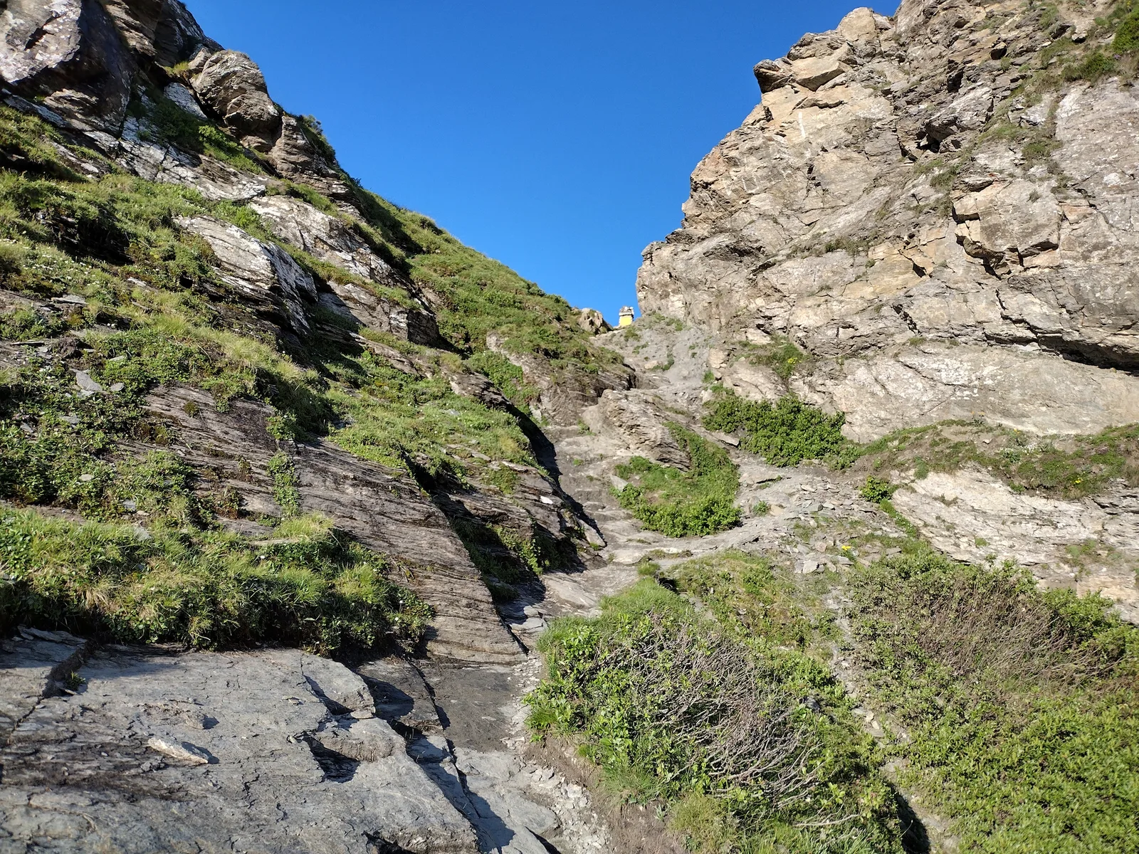
46 trails where European wildcat is listed in flora/fauna: difficulty T–EEA, elevation gain 0–1814 m.
46 · 0.4–15.6 km · +0–1814 m
Valle del Gran San Bernardo
6.8 km · +929 m · EE — from Arp-Nouva to Colle des Angrognettes (Great St Bernard Valley).
Valle centrale
In the Val d'Ayas, Ayas: an E-rated climb toward a pass or panoramic objective.
Valle centrale
Vallone delle Cime Bianche, commune of Ayas: an EE route through one of the most pristine high-altitude environments of the Val d'Ayas.
La Thuile
0.6 km · +165 m · E — from Chabodey to Plan Belon (La Thuile).

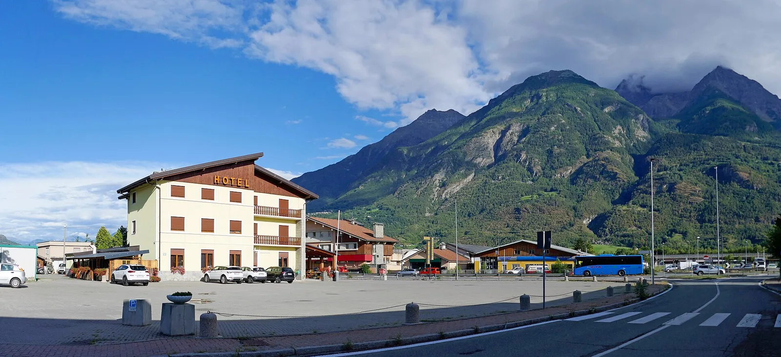
Valpelline
From Chamin (1,732 m) to the Bivacco della Sassa (2,964 m) in the quiet Valpelline: 7.1 km and 1,246 m of ascent.
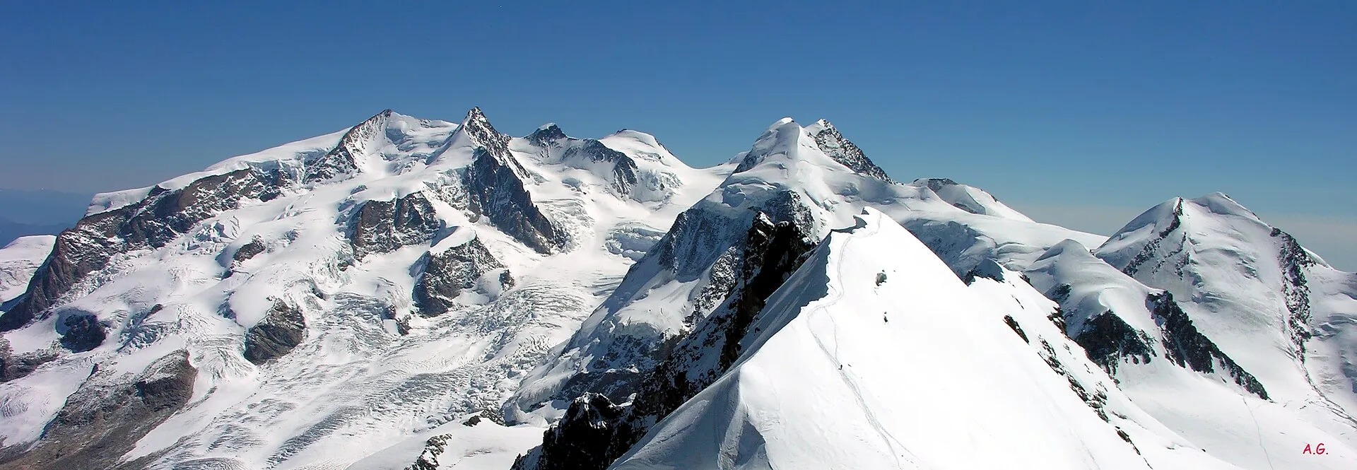
Valle centrale
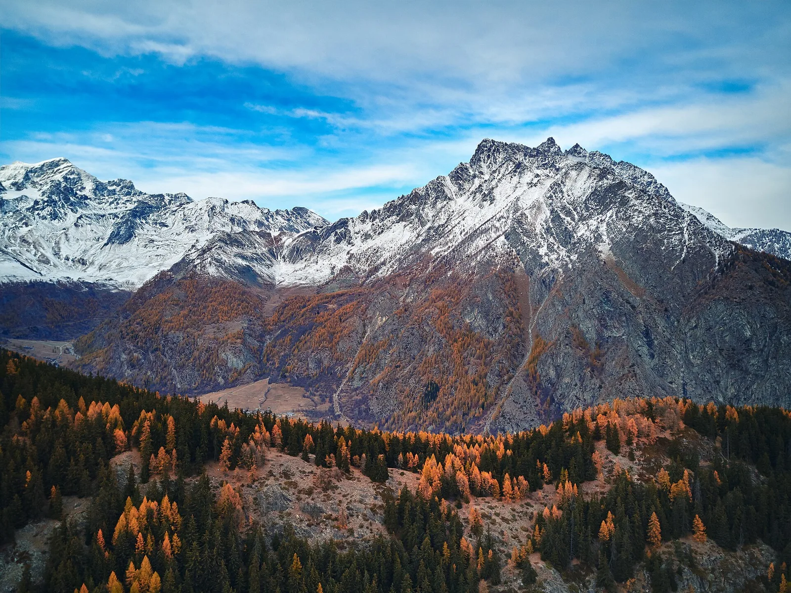
From Champoluc (1569m) to Testa Grigia (3315m): 8.2 km EEA — the Val d'Ayas summit on foot, full panorama over all Monte Rosa four-thousanders and the Matterhorn.
Val di Cogne
From Champsolin to Serignan (1190 m) through terraced vineyards and rural hamlets: the trail that tells the story of Val di Cogne's wine landscape.
Valpelline
2.2 km · +371 m · E — from Champtorné to Collet (Valpelline).
Val di Rhêmes
1.9 km · +387 m · E — from Chateau de Quart to Beato Emerico (Rhêmes Valley).
Valle del Gran San Bernardo
2.9 km · +0 m · E — from Erésaz to Abay (Great St Bernard Valley).
Valle del Gran San Bernardo
0.4 km · +0 m · E — from Erésaz to Grand Hoel (Great St Bernard Valley).
Val d'Ayas
Upper Val d'Ayas, Brusson: a route through high-altitude meadows and rock.
Valtournenche
4.4 km · +110 m · T — from Col di Joux to Col Tzecore (Valtournenche).
Valgrisenche
0.8 km · +0 m · E — from Grand Haury to Castello Montmayeur (Valgrisenche).
Val d'Ayas
4.6 km · +713 m · E — from Grundji to Grundji (Ayas Valley).
Valsavarenche
4.3 km · +659 m · E — from Chiesa di San Giorgio to Biel (Valsavarenche).

Valgrisenche
2 km · +207 m · E — from La Ravoire to Castello di Montmayeur (Valgrisenche).
Valgrisenche
1.5 km · +245 m · E — from La Ravoire to Lolair (Valgrisenche).
Valle centrale
12.3 km · +1676 m · E — from Lavanchers to Col de Licony (Central Valley).
Valgrisenche
In the Valgrisenche, Arvier: a steady E-rated climb through forest and meadows toward upper pastures.
Valle centrale
2.4 km · +438 m · E — from Lillianes to Le Miriou (Central Valley).
Valle centrale
2.1 km · +261 m · E — from Liveroulaz to Fossaz (Central Valley).
Valle centrale
2.3 km · +326 m · E — from Marine to Varfey (Central Valley).
La Thuile
7.1 km · +1179 m · E — from Morges, bivio strada per Planaval to Col Fetita (La Thuile).
Valpelline
6.1 km · +1205 m · E — from Capoluogo to Bivacco Regondi (Valpelline).
Valle del Lys
3 km · +0 m · E — from Tornante quota 1309 to Thoules (Lys Valley).
Valle centrale
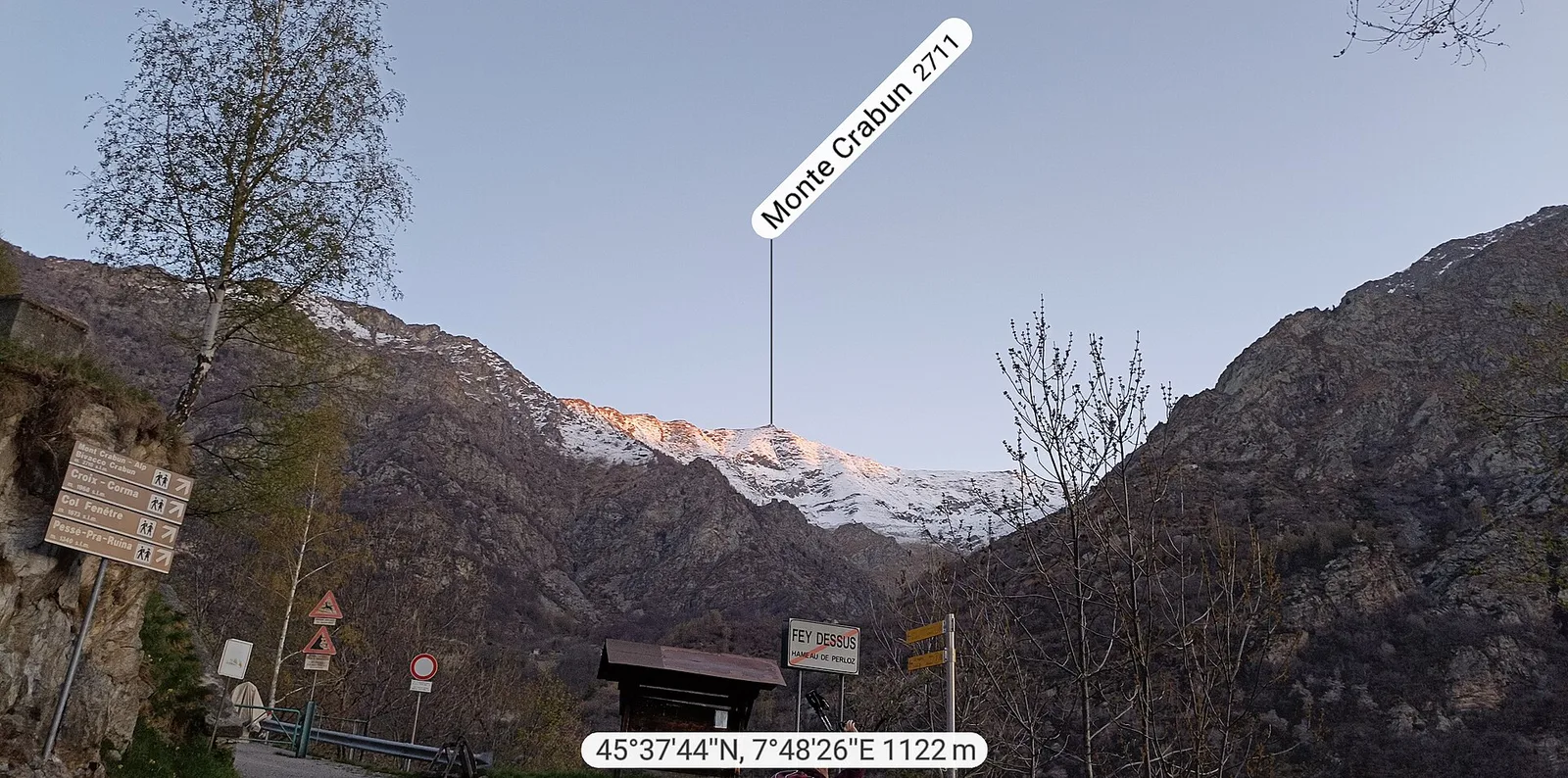
3.8 km · +581 m · E — from Plan de Brun to Fey (Central Valley).
Valle del Lys
1.8 km · +429 m · E — from municipio Pollein to Chenoz (Lys Valley).
Val d'Ayas
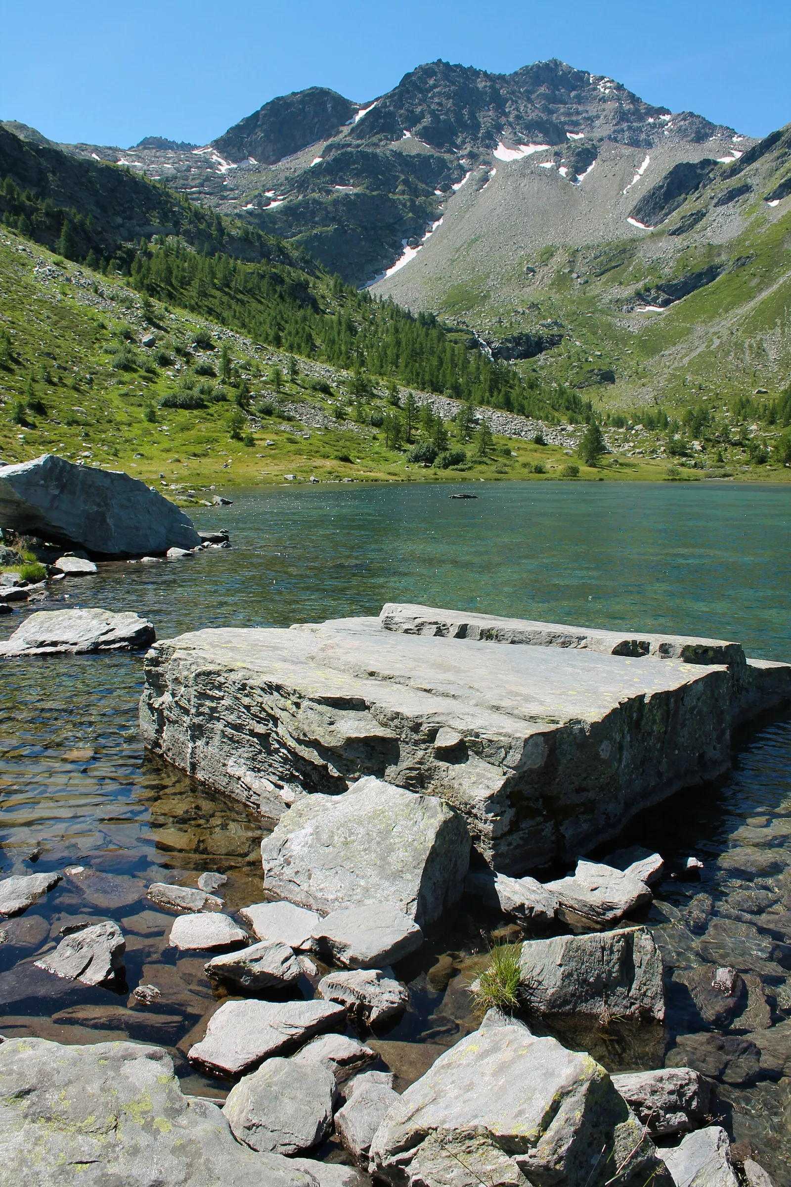
From Pont de Messuere (1425m) to Corno Boussolaz (3023m) via Lago Bringuez: 6.4 km EE with 1593 m of ascent, one of Val d'Ayas's most demanding routes.
Valle del Lys
6 km · +1217 m · E — from Ponte Vernosse to Col de L'Arpeyssaou (Lys Valley).
Valtournenche
5 km · +873 m · E — from Pramotton to Innesto Baraton (Valtournenche).
Valpelline
8.2 km · +992 m · E — from Praz to Fenetre de Tsan (Valpelline).
Val d'Ayas
2.6 km · +308 m · E — from Quinçod to Alésaz (Ayas Valley).
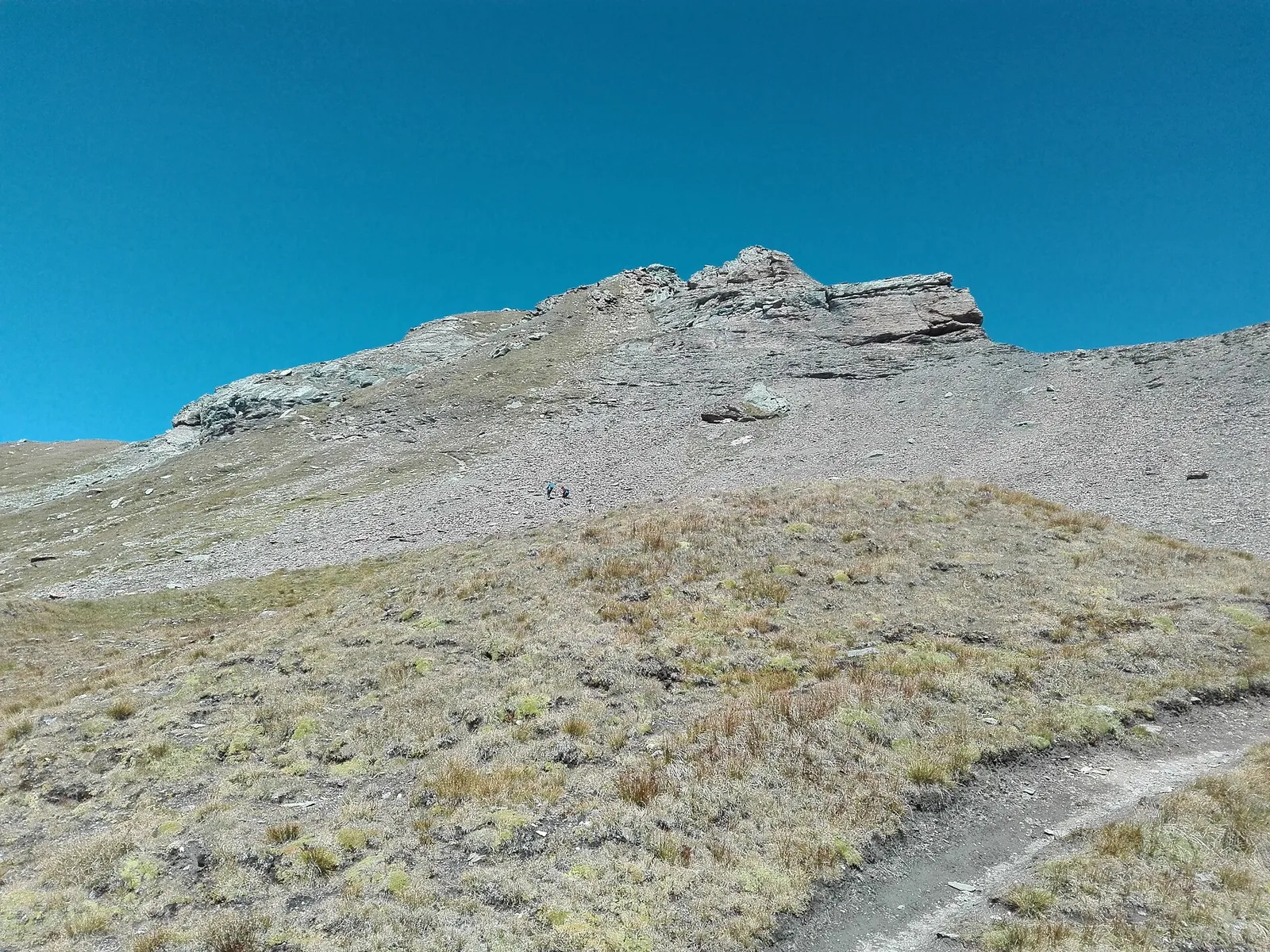
Valpelline
4.5 km · +1016 m · EE — from Servaz to Cima Bianca (Valpelline).
Val di Cogne
0.7 km · +179 m · E — from Strada regionale 47 to Serignan (Cogne Valley).
Valtournenche
12.9 km · +1737 m · E — from Bourg to Sassa (Valtournenche).
Valtournenche
12.8 km · +1126 m · E — from Donnas to Arnad (Valtournenche).
Valsavarenche
10.4 km · +0 m · E — from Verrayes to Nus (Valsavarenche).
Valle di Champorcher
15.6 km · +0 m · E — from Crest to Capoluogo (Champorcher Valley).
Valtournenche
2.5 km · +461 m · E — from Torille to Lac de Ville (Valtournenche).
Valtournenche
2.5 km · +231 m · E — from Valpelline capoluogo to Crête (Valtournenche).
Valle centrale
8.4 km · +1360 m · EE — from Vetan to Mont Fallère (Central Valley).
Val d'Ayas
2.1 km · +177 m · E — from Via Scuola Militare Alpina to Châtelet (Ayas Valley).
Valle centrale
2.4 km · +196 m · E — from Villair to Château de Châtelard (Central Valley).
Valle centrale
1.4 km · +174 m · E — from Villair to Château de Châtelard (Central Valley).
Valle del Gran San Bernardo
1 km · +254 m · E — from Yair desor to Mouleret (Great St Bernard Valley).