
E
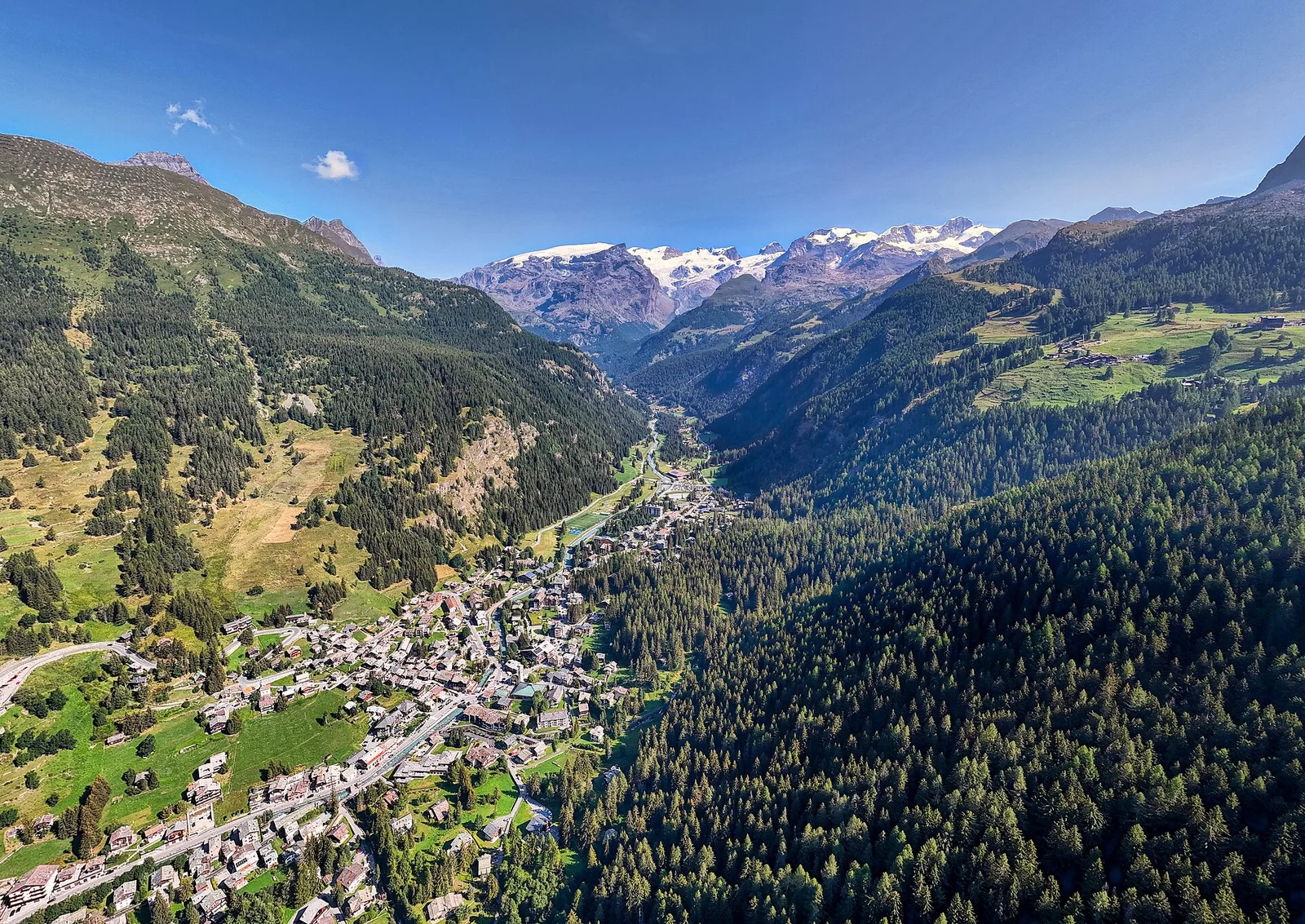
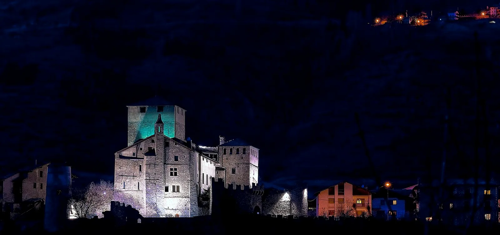
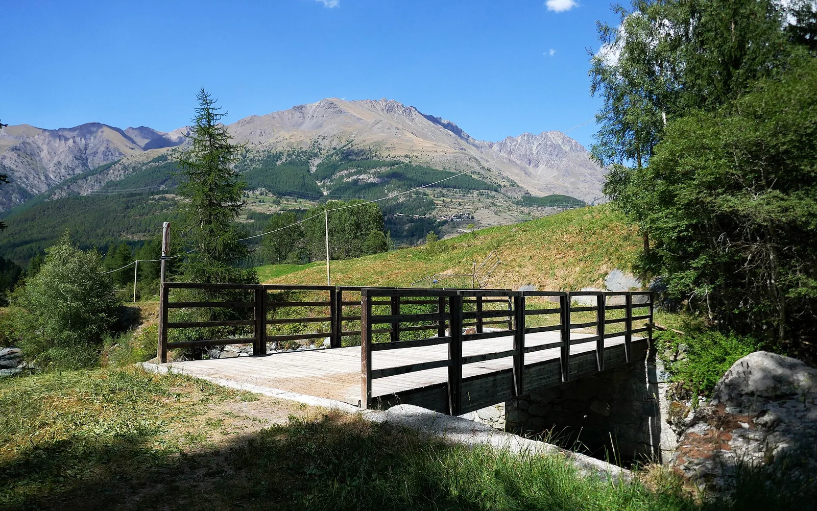
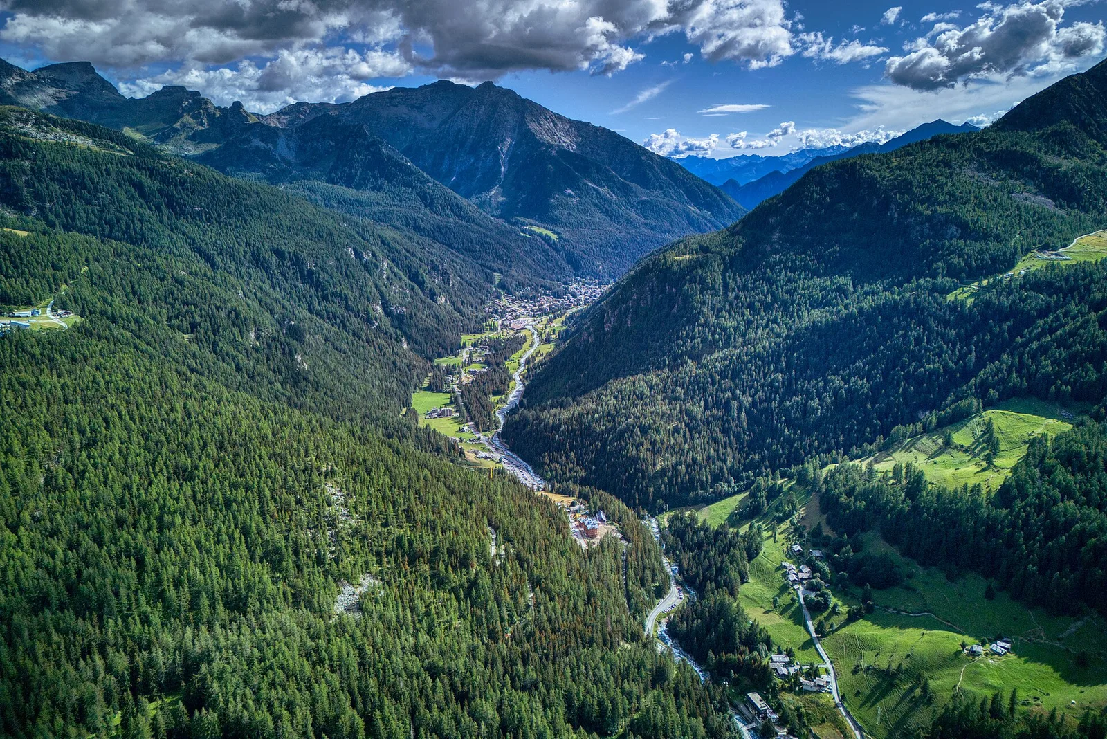
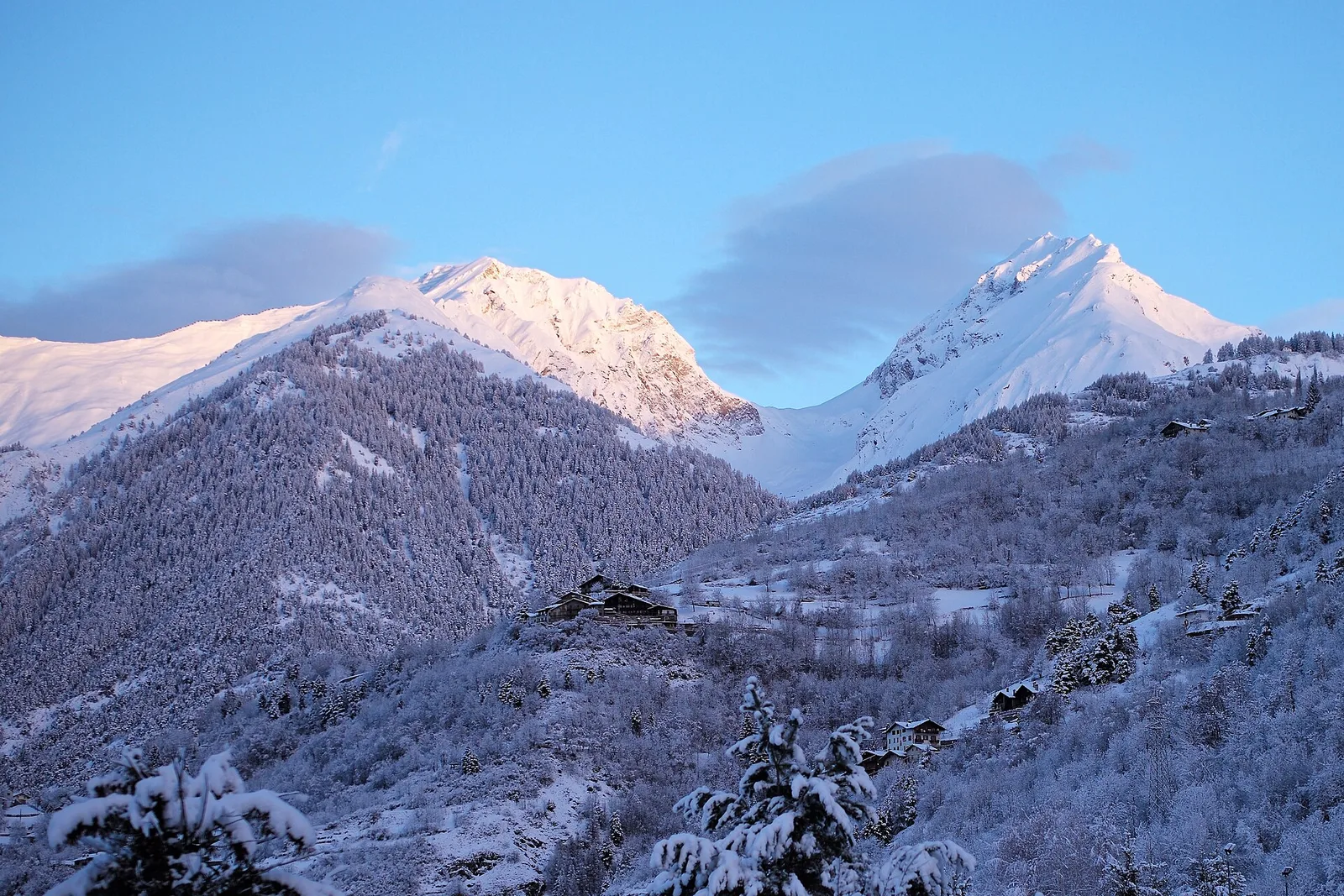
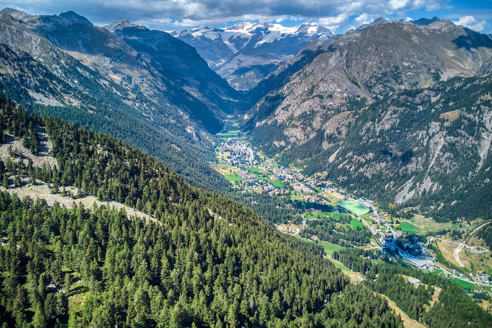
Valle centrale
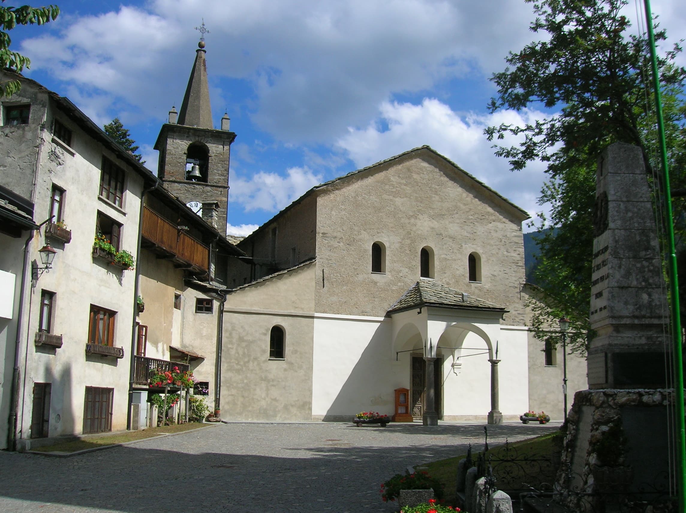
Area giochi Croux - Parleyaz
4.1 km · +476 m · E — from Area giochi Croux to Parleyaz (Central Valley).
4.1 km+476 m2 h
Where to spot
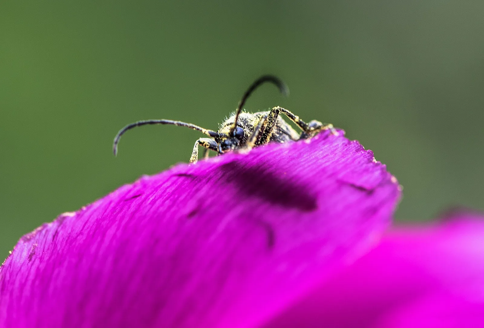
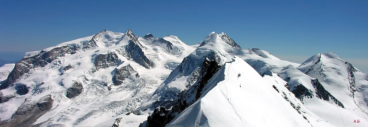
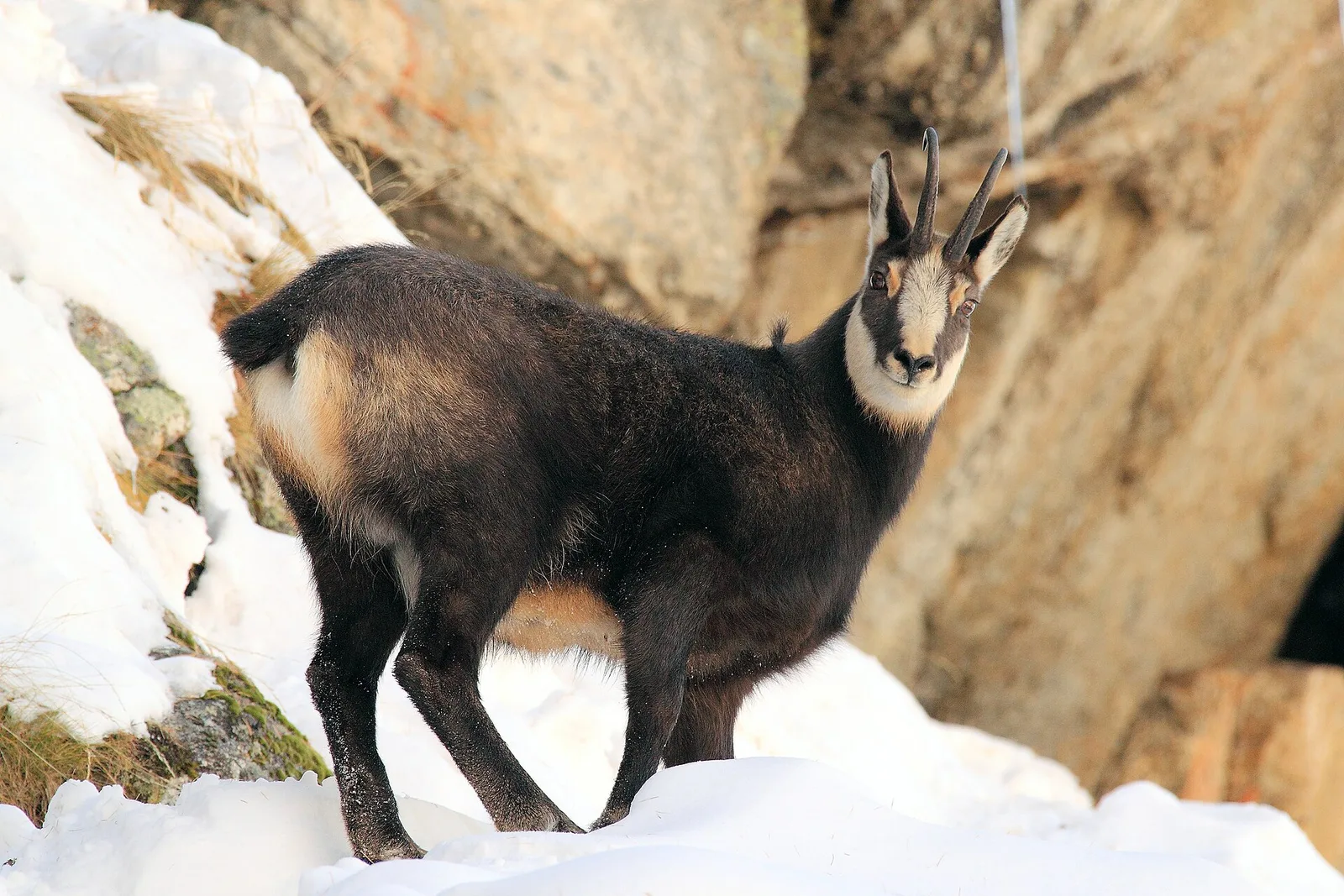
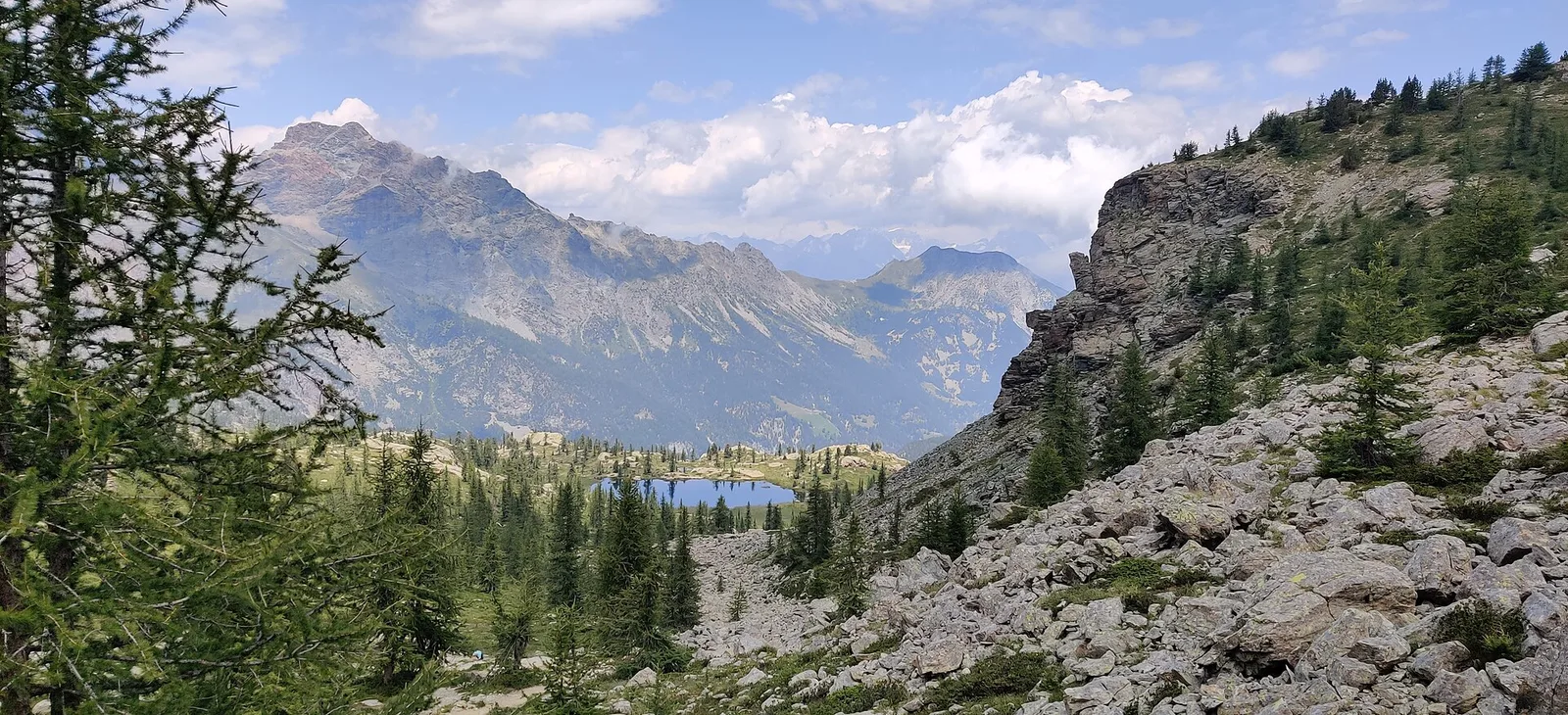
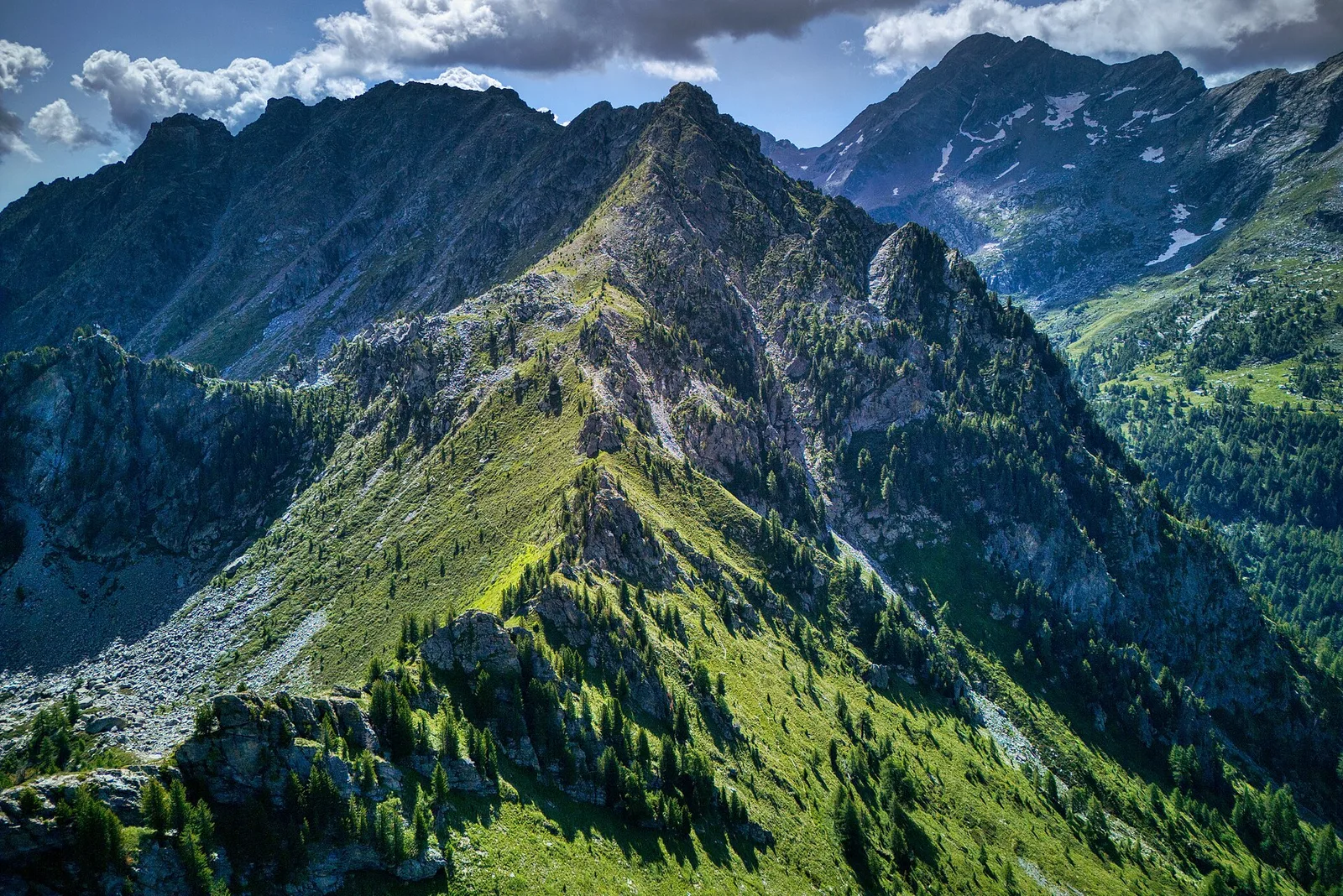
44 trails where Spotted nutcracker is listed in flora/fauna: difficulty T–EE, elevation gain 0–1685 m.
44 · 0.7–10.4 km · +0–1685 m
Valle centrale
4.1 km · +476 m · E — from Area giochi Croux to Parleyaz (Central Valley).
Valle centrale
2.8 km · +431 m · E — from Avise to St-Nicolas (Valdigne).
Valle centrale
A short, gentle climb from Baulin to Mont Colombo, a modest wooded rise with a view over the central valley, above Avise.
Valle centrale
7.7 km · +1065 m · EE — from Bellon to Tsa de la Comba (Valgrisenche).
Valle centrale
3.7 km · +500 m · E — from Blavy to Grandzette (Valpelline).
Val d'Ayas
2.1 km · +264 m · E — from Champoluc to Mandriou (Central Valley).
Valle centrale
Steep climb from Champsolin (762 m) to Ozein (1,371 m) in the Cogne Valley: 3.2 km with 596 m of ascent.
Valtournenche
0.7 km · +72 m · E — from Champtorné to Gortz� (Valpelline).
Val di Rhêmes
2.2 km · +508 m · E — from Chanavey to Chaussettaz (Great St Bernard Valley).
Valle centrale
2.5 km · +477 m · E — from Château to Morges (La Thuile).
Valle centrale
1.7 km · +446 m · E — from Chevrère to Poignon (confine comunale Villeneuve) (Lys Valley).
Valle centrale
3.7 km · +418 m · E — from Combelin to Alpe Loe (Or) (Central Valley).

Valle del Gran San Bernardo
From Ville di Allein, an honest climb through pastures and larch woods to the Dortoir Baravex refuge at 1938 m, in the Great St Bernard valley.
Valle centrale
2.7 km · +414 m · E — from Druges to Prapremier (Great St Bernard Valley).
Bassa Valle
4.5 km · +938 m · E — from Fey to Croix Corma (Central Valley).
Valle del Lys
8.6 km · +1458 m · EE — from Fontainemore to Col de Chardon (Lys Valley).
Valtournenche
In the commune of Torgnon, Valtournenche: an E-rated route through hamlets, forest and pastures with panoramic views.
Val d'Ayas
3.5 km · +0 m · E — from Grand Rhun to Erésaz (Great St Bernard Valley).
Val d'Ayas
5.6 km · +793 m · E — from Lo Pian to Covarey (Parcheggio) (Central Valley).
Valle centrale
5.7 km · +1137 m · E — from Lusey to Alpe Ponton (Valtournenche).
Val d'Ayas
3 km · +259 m · E — from Mayn to Curien (Ayas Valley).
Valle centrale
6.1 km · +1274 m · E — from Miserègne to Bec Tolomon (Lys Valley).
Valle di Champorcher
2.2 km · +442 m · E — from Outre l'Eve to Alpe Monpey (Valtournenche).
Valle centrale
1.2 km · +124 m · E — from Petit-Palleussieux to Château Verrand (Rhêmes Valley).
Valtournenche
4.2 km · +720 m · E — from Plan de la Glaea to Illiaz - Perron (Central Valley).
Val Veny
1.2 km · +156 m · E — from Plan de Lognan to Jardin du Miage (Lac Vert) (Great St Bernard Valley).
Bassa Valle
2.4 km · +790 m · E — from Saint-Roch to Col de Plan Fenetre (Central Valley).
Valgrisenche
4.7 km · +488 m · E — from Planaval to Miollet (Valtournenche).
Valsavarenche
3.6 km · +327 m · E — from Pont to Meyes desot (Ayas Valley).
Bassa Valle
9 km · +1546 m · E — from Pramotton to Alpe Bonze (Valtournenche).
Val di Cogne
3.2 km · +490 m · E — from Prati di Sant'Orso - Buthier to Les Ors (Lys Valley).
Valtournenche
4.8 km · +166 m · E — from Prelaz to Col des Bornes (Valsavarenche).
Valle del Gran San Bernardo
2.2 km · +0 m · E — from Prenoud to Ponte Artanavaz (Great St Bernard Valley).
Valtournenche
3.1 km · +199 m · E — from Promiod to Brengon (Valdigne).
Val d'Ayas
2.1 km · +96 m · E — from Résy to Plan de Véraz (Central Valley).
Valle del Gran San Bernardo
10.4 km · +67 m · E — from Reysod to Etroubles (Central Valley).
Valle del Lys
4.7 km · +880 m · E — from Sainte-Marguerite to Col de Carisey (Central Valley).
Valle di Champorcher
0.8 km · +258 m · EE — from Strada Dondena to Col Terre Rousse (Valtournenche).
Valle del Lys
In the commune of Brusson, Val d'Ayas: a route among hamlets and alpine pastures on the sunny slope with valley views.
Valle di Champorcher
5.7 km · +1300 m · E — from Fournier to Mont Digny (Champorcher Valley).
Valle centrale
0.7 km · +152 m · E — from Vens to Lac du Joux (Central Valley).
Valle centrale
1.8 km · +249 m · EE — from Villair to Belvedere (Great St Bernard Valley).
Valle centrale
9 km · +1685 m · E — from Villair to Col de Licony (Central Valley).
Valle del Lys
1.8 km · +241 m · E — from Weissmatten to Colle di Garda (Champorcher Valley).