
EE
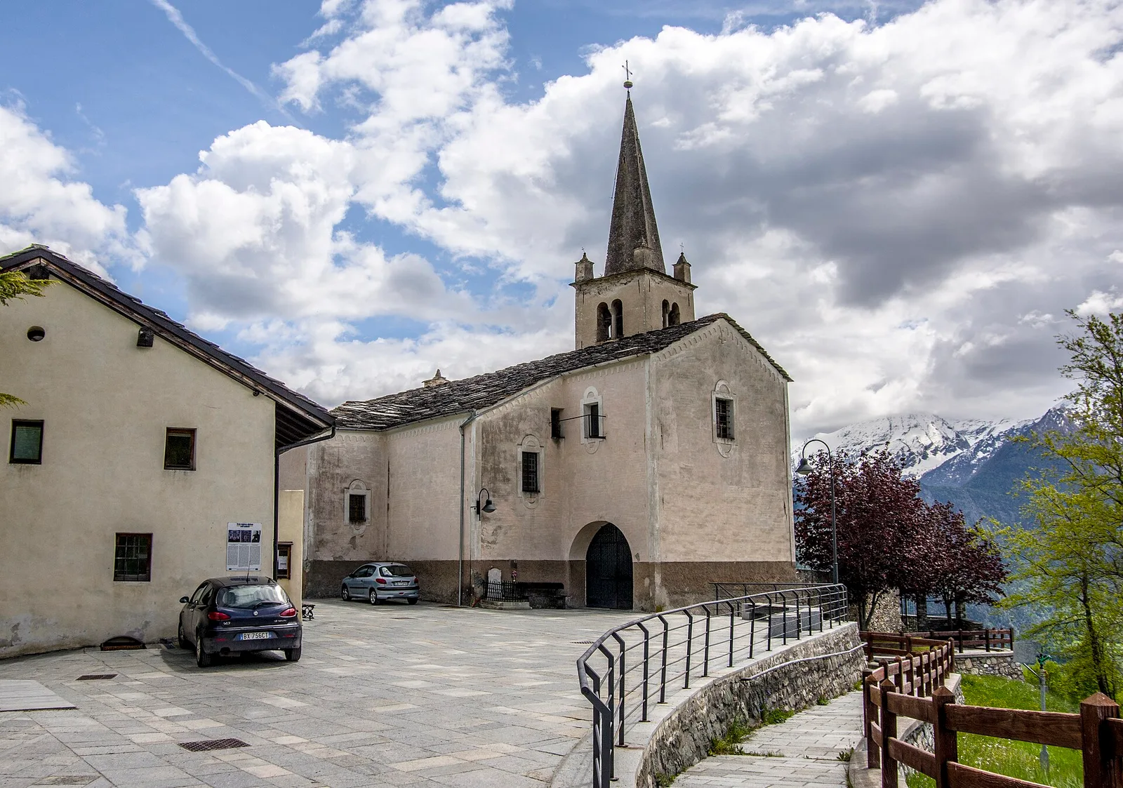
Val d'Ayas
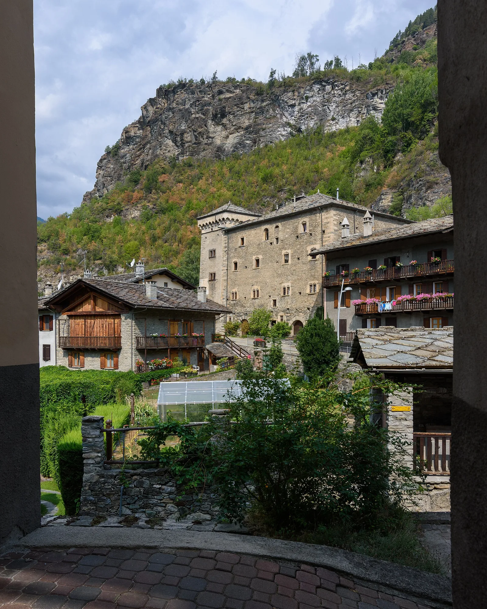
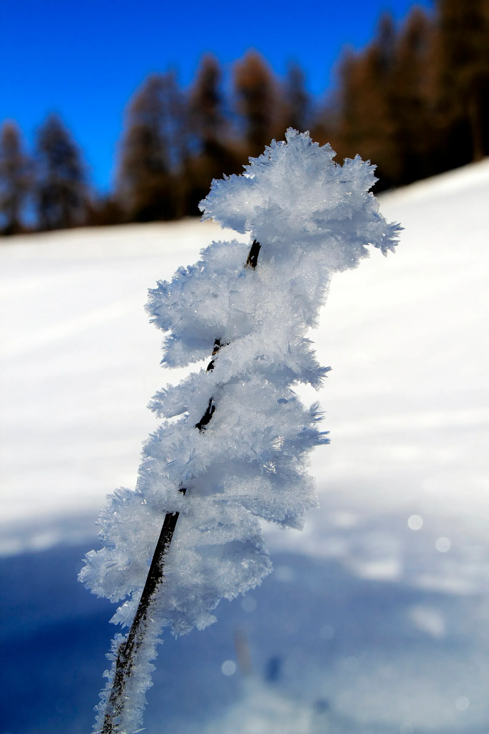
Anello delle gole del torrente Roesaz
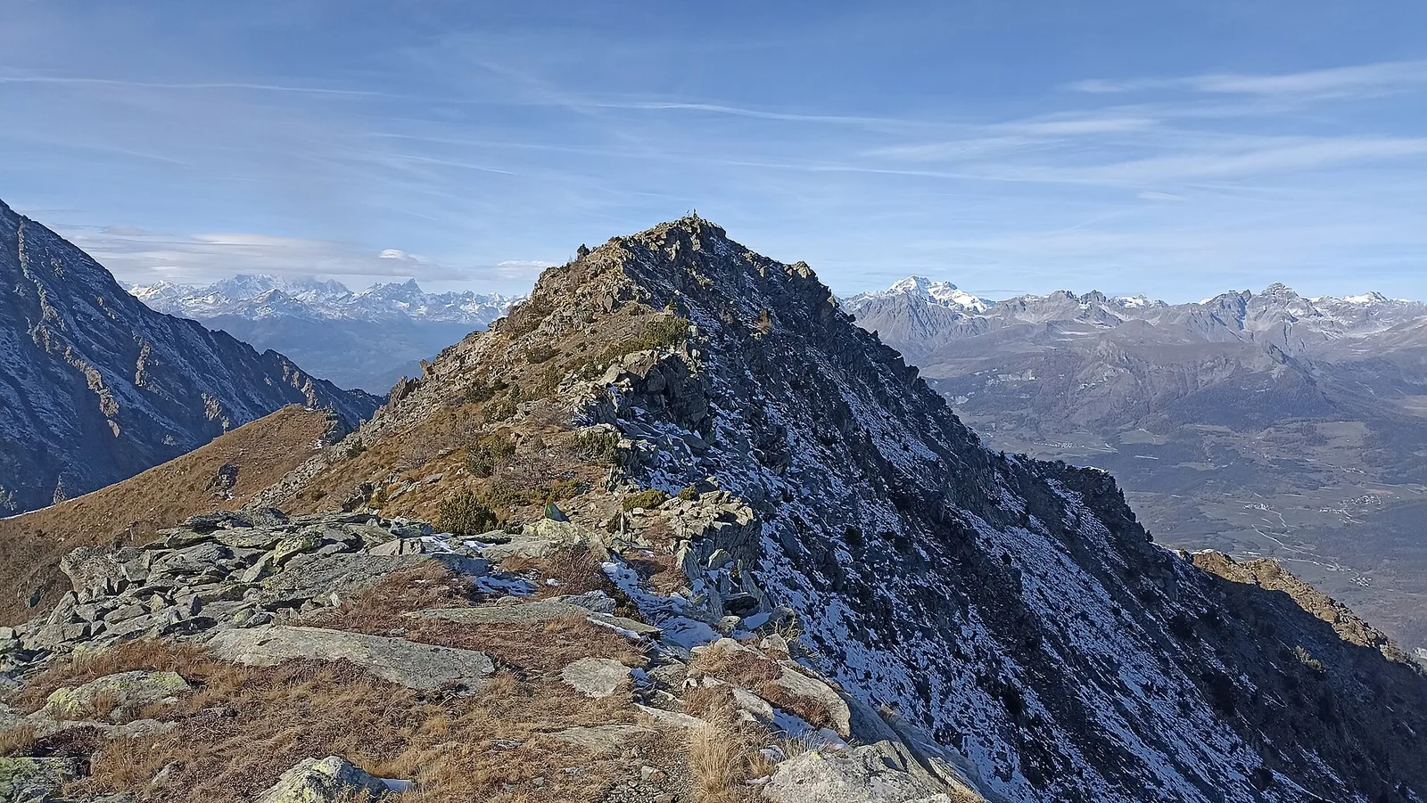
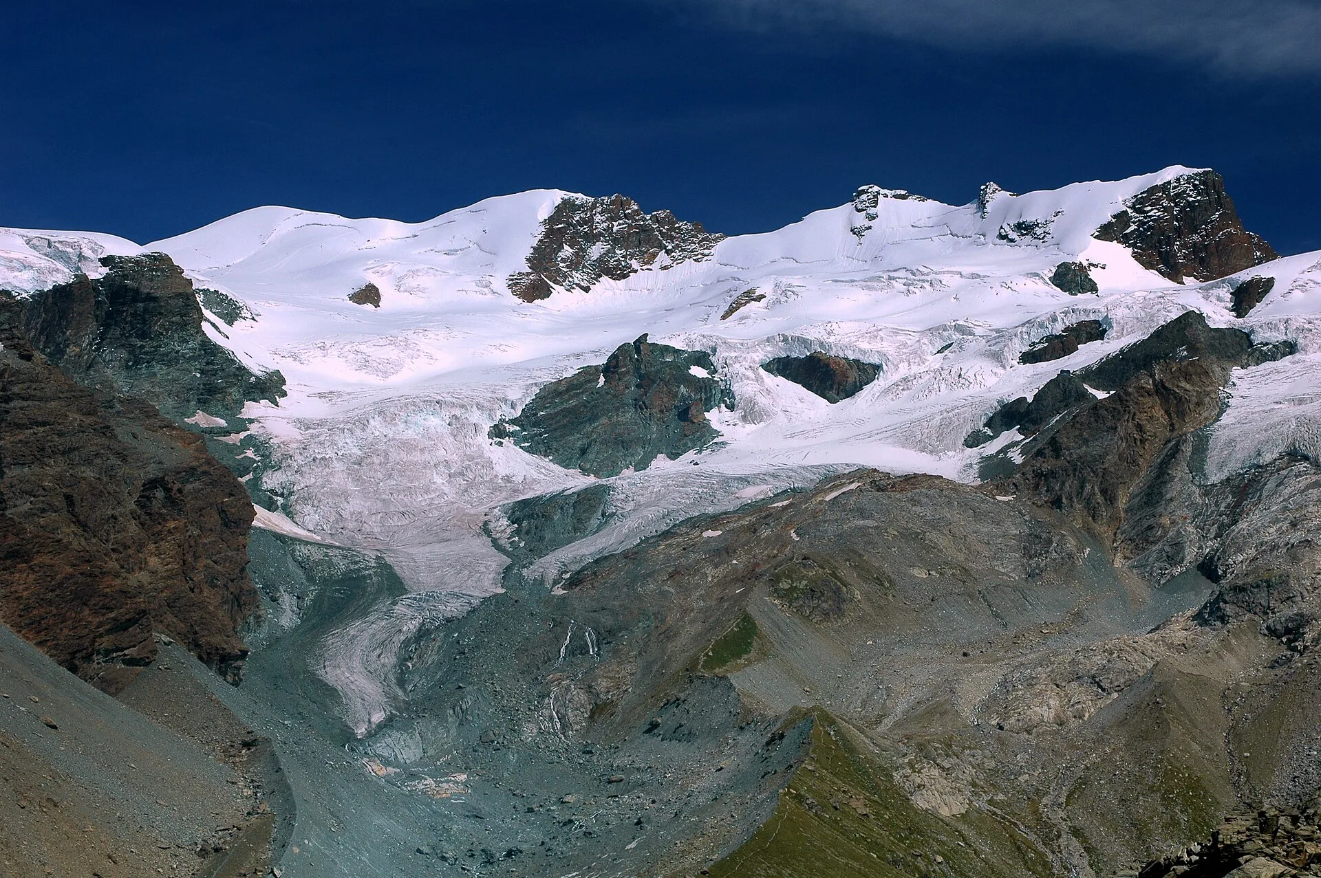
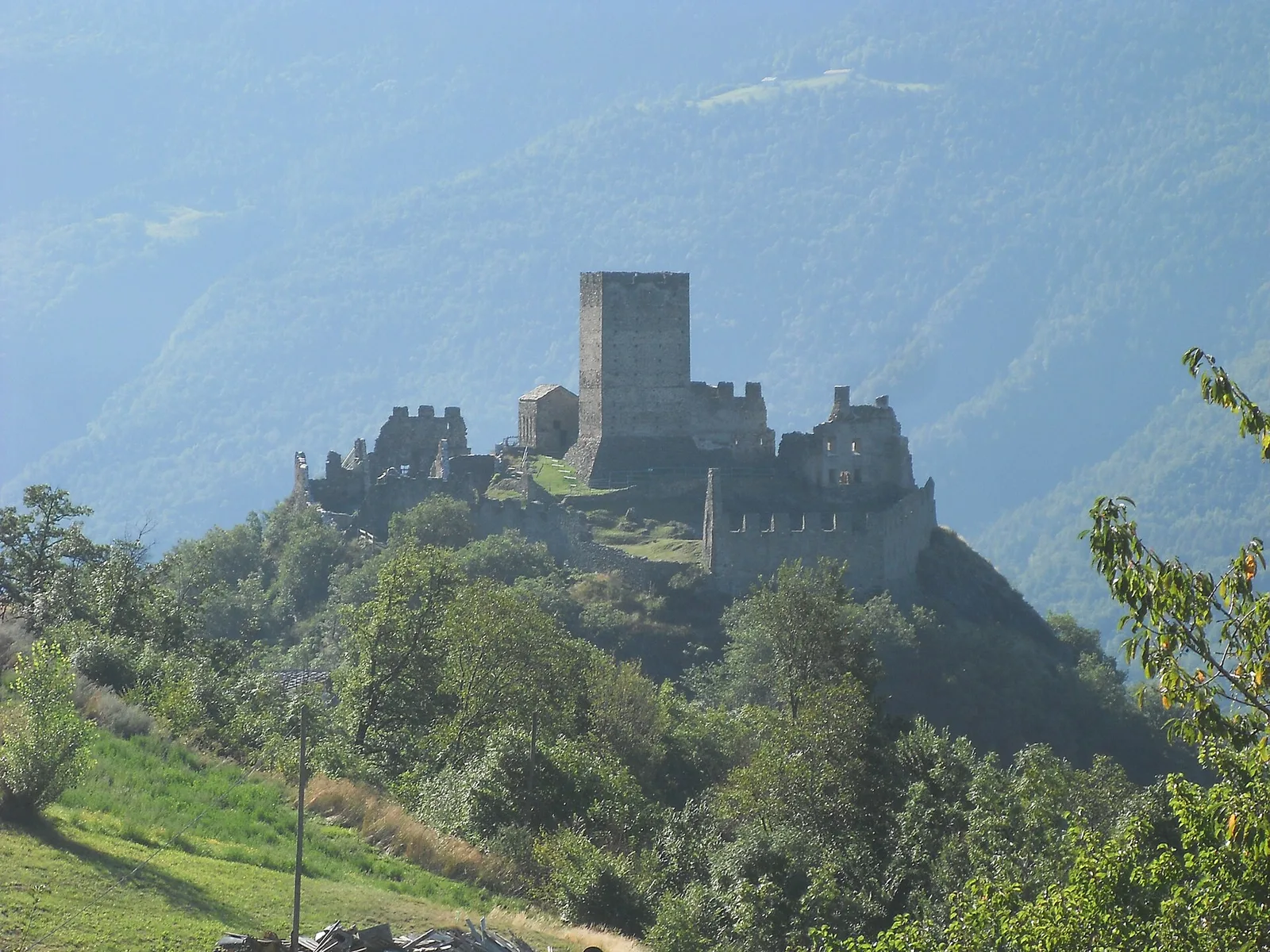
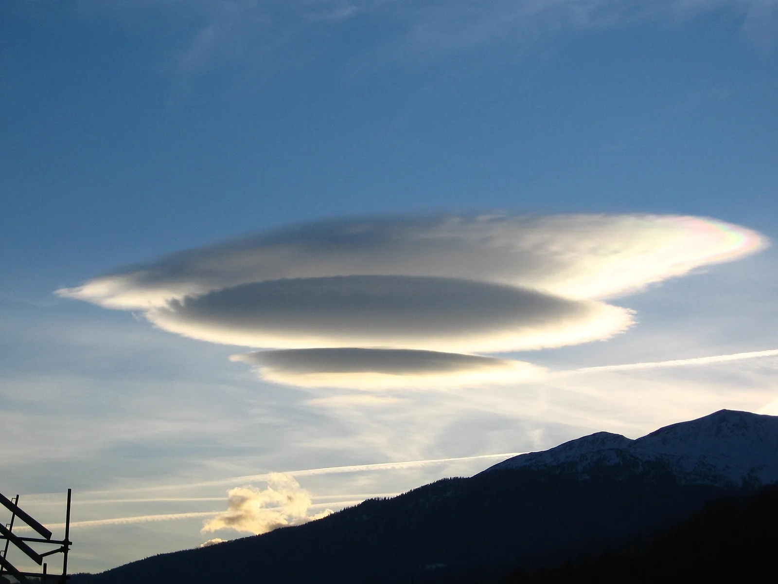
9.4 km · +1238 m · EE — from Isollaz to Isollaz (Ayas Valley).
9.4 km+1238 m5.5 h
Where to spot
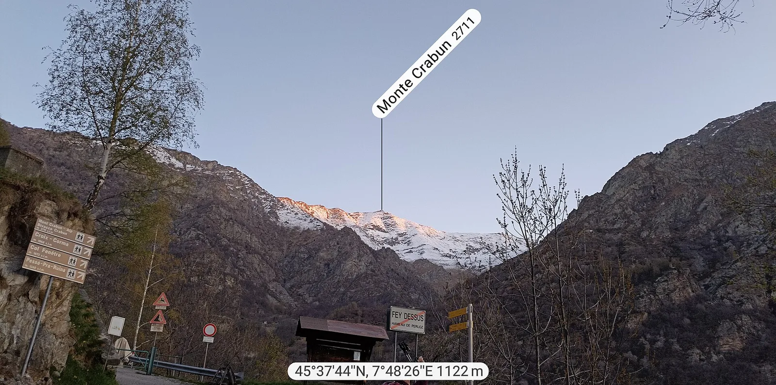
40 trails where Wych elm is listed in flora/fauna: difficulty T–EE, elevation gain 0–1737 m.
40 · 0.6–12.9 km · +0–1737 m
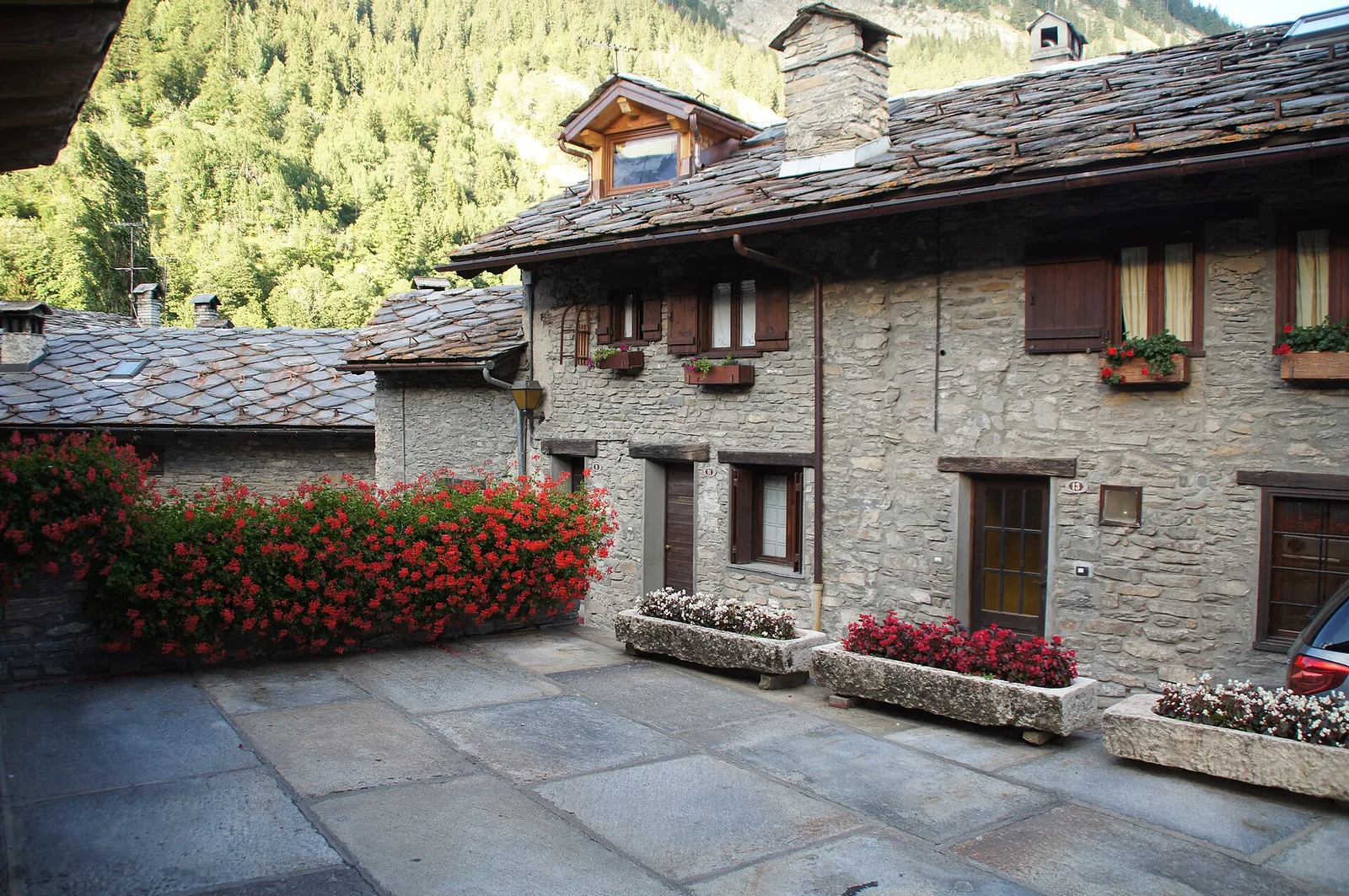
Val d'Ayas
9.4 km · +1238 m · EE — from Isollaz to Isollaz (Ayas Valley).

Valle centrale
From Arlier (603m) to Cloutraz (1067m) on the Châtillon hillside: 3.5 km E through vineyards, woodland and views over the Dora Baltea.
Valle centrale
In the Valdigne, La Salle: an E-rated route through forest and pasture with views of Mont Blanc.

Bassa Valle
1.2 km · +284 m · E — from Barme to Omens (Valtournenche).

Valle del Lys
0.6 km · +80 m · E — from Start 7B to Cascate di Niel (Great St Bernard Valley).
Valle centrale
From Champsolin to Serignan (1190 m) through terraced vineyards and rural hamlets: the trail that tells the story of Val di Cogne's wine landscape.
Valle centrale
1.9 km · +387 m · E — from Chateau de Quart to Beato Emerico (Rhêmes Valley).
Valle centrale
5.2 km · +959 m · E — from Via Chanoux to Promiod (Valdigne).
Valle centrale
6.8 km · +0 m · E — from Cloutraz to Bellecombe (Valdigne).
Bassa Valle
3.6 km · +909 m · E — from Croce della Missione to Gias Desot (Valtournenche).
Valle di Champorcher
1.4 km · +297 m · EE — from Echelly to Grand-Rosier (Valtournenche).
Val d'Ayas
2.9 km · +0 m · E — from Erésaz to Abay (Great St Bernard Valley).
Val d'Ayas
3.5 km · +223 m · E — from Erésaz to Grand Rhun (Great St Bernard Valley).

Valle centrale
1.4 km · +164 m · E — from Feilley to Moron (Valtournenche).
Valtournenche
1.6 km · +13 m · E — from Grand Moulin to Poutaz (Valtournenche).
Valle del Lys
4.6 km · +713 m · E — from Grundji to Grundji (Ayas Valley).
Valle centrale
2 km · +207 m · E — from La Ravoire to Castello di Montmayeur (Valgrisenche).
Valle centrale
2.1 km · +261 m · E — from Liveroulaz to Fossaz (Central Valley).
Valle del Lys
3.7 km · +790 m · E — from Nantay to Ruine damon (Central Valley).
Valle centrale
1.2 km · +140 m · E — from Nus to Chateau de Nus (Valpelline).
Bassa Valle
3.1 km · +639 m · E — from Outrefer to Pourcil (Valtournenche).
Valle centrale
1.7 km · +169 m · E — from Palleusieux to Verrand (Rhêmes Valley).
Valle centrale
3.6 km · +228 m · E — from Plan d'Introd to Moulin de Tache (innesto sentiero 6) (Lys Valley).
Valle centrale
1.8 km · +429 m · E — from municipio Pollein to Chenoz (Lys Valley).
Valle centrale
3.4 km · +733 m · E — from Pompiod to Montcorvé dessus (Valtournenche).
Val d'Ayas
2.6 km · +308 m · E — from Quinçod to Alésaz (Ayas Valley).
Valle centrale
In the lower Val d'Ayas, Challand-Saint-Victor: an E-rated climb through vineyards, forest and terraced land toward historic hamlets.
Valle centrale
2.9 km · +688 m · EE — from Rovarey to Thuy damon (Chambave) (Lys Valley).
Valle centrale
4.7 km · +51 m · E — from Via Battaglione Aosta to Verdetta (Valtournenche).
Valle centrale
3.1 km · +442 m · E — from Saint-Denis to Del (Central Valley).
Valle del Gran San Bernardo
0.8 km · +34 m · T — from Saint-Oyen to Pallais dessous (Great St Bernard Valley).
Val d'Ayas
1.9 km · +316 m · E — from Sizan to Col d'Arlaz (Ayas Valley).
Bassa Valle
2.4 km · +355 m · E — from Strada to Omens (Valtournenche).
Valle del Lys
4.3 km · +155 m · T — from Bivio Villa Margherita to Start 9 (Champorcher Valley).
Bassa Valle
12.9 km · +1737 m · E — from Bourg to Sassa (Valtournenche).
Bassa Valle
8.7 km · +938 m · E — from Pont-Saint-Martin to Lillianes (Central Valley).
Valpelline
3.8 km · +78 m · E — from Rey to Chatellair-Dessus (Valpelline).
Valpelline
3.3 km · +419 m · E — from Valpelline capoluogo to Capoluogo (Valtournenche).
Valle centrale
2.9 km · +680 m · E — from Veynes to Valtolanaz (Central Valley).
Valle centrale
2.4 km · +196 m · E — from Villair to Château de Châtelard (Central Valley).