E
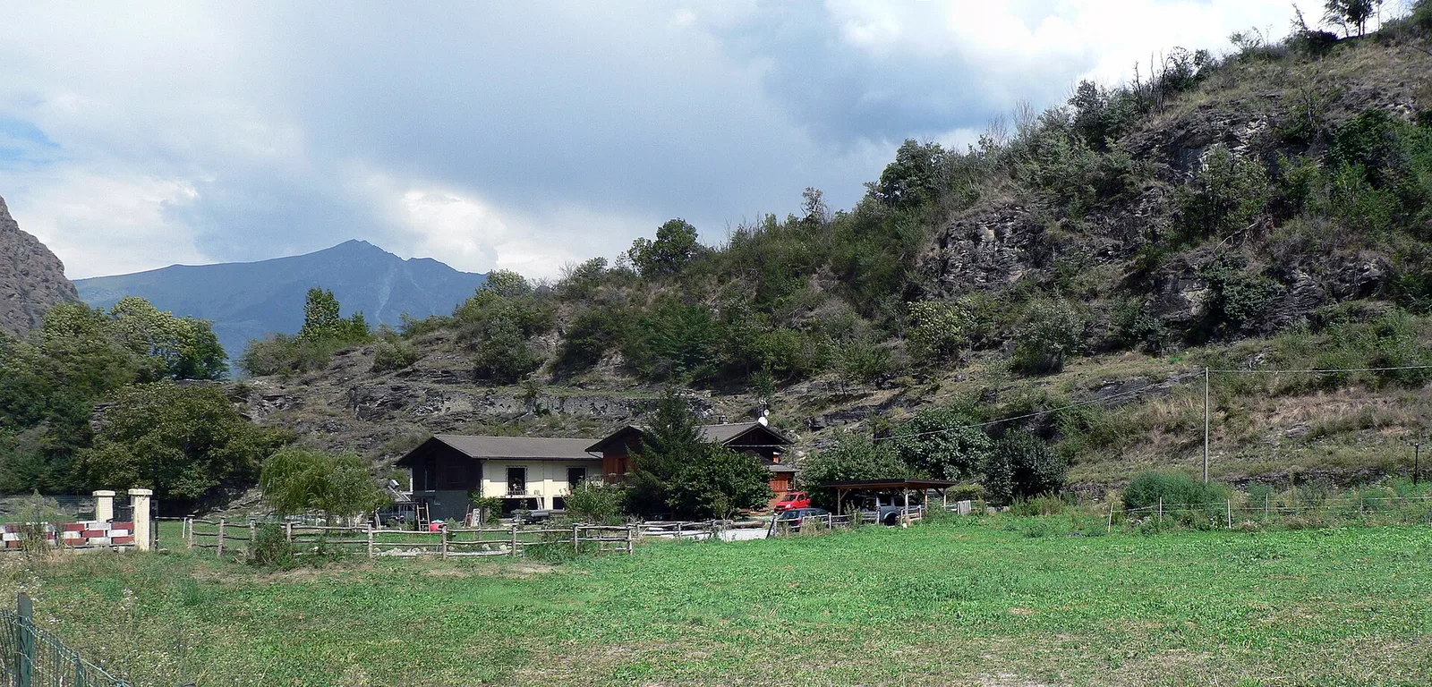
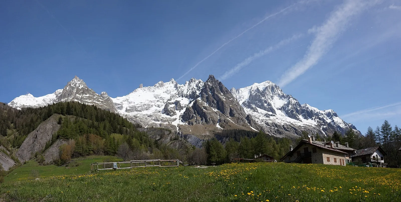
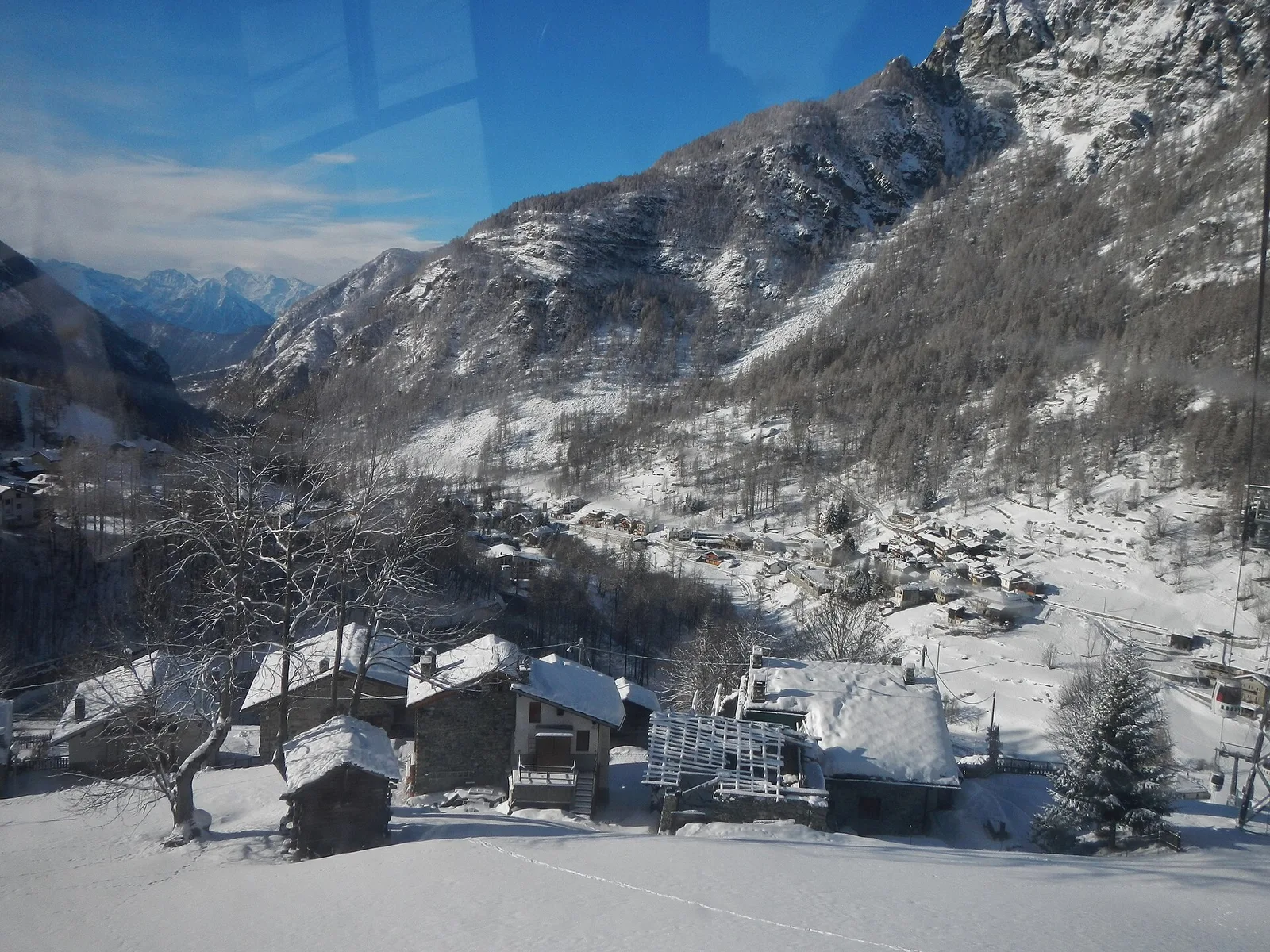
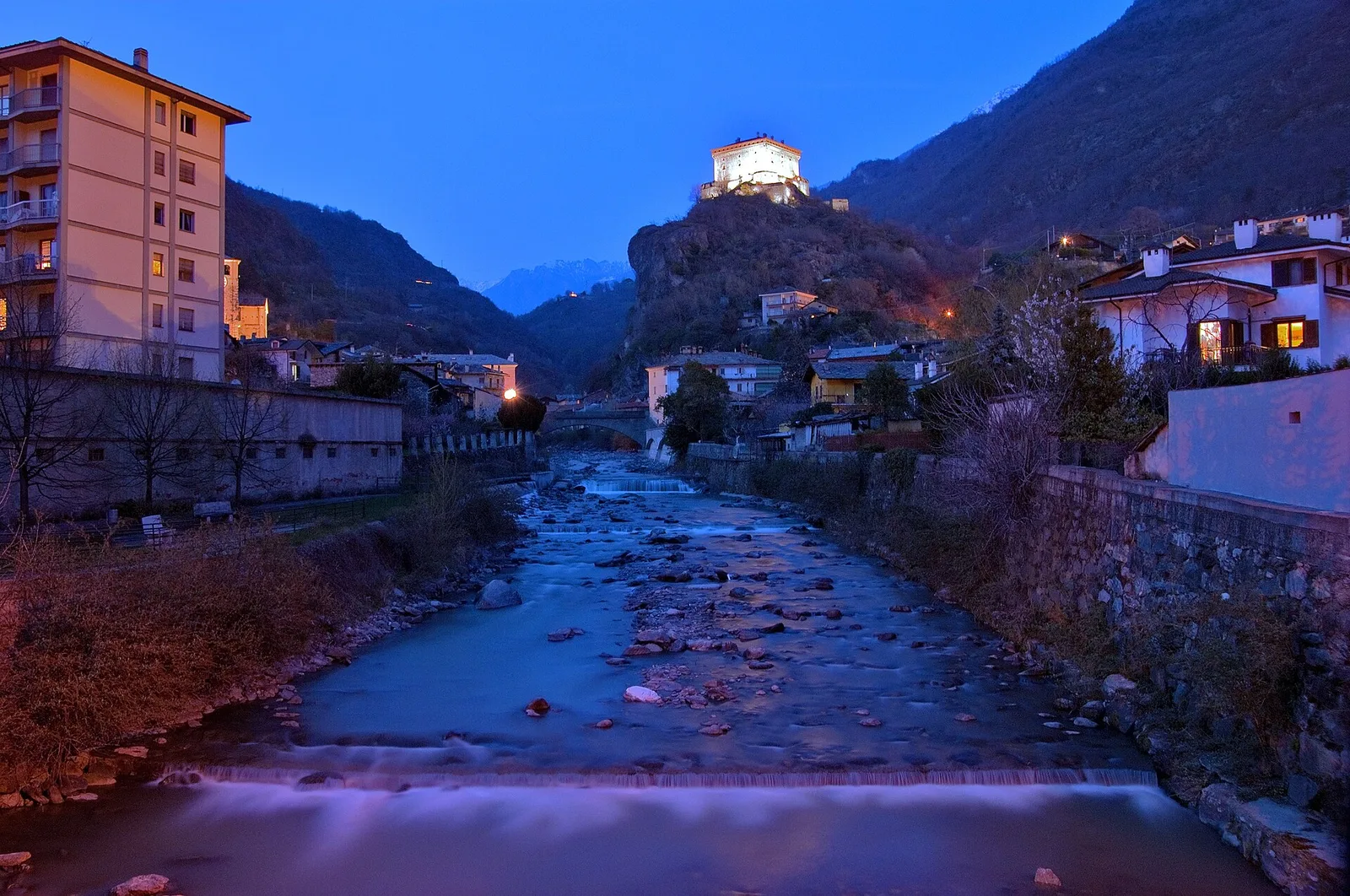
Val d'Ayas
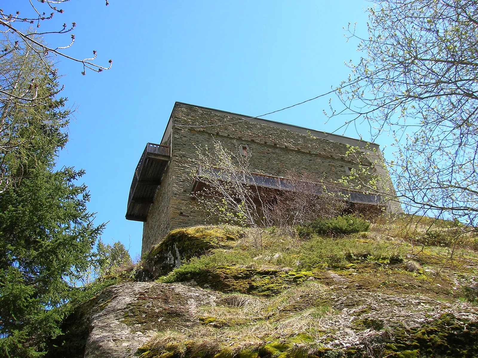
Arbaz - Mont d'Arbaz
1.9 km · +78 m · E — from Arbaz to Mont d'Arbaz (Ayas Valley).
1.9 km+78 m0.5 h
Where to spot
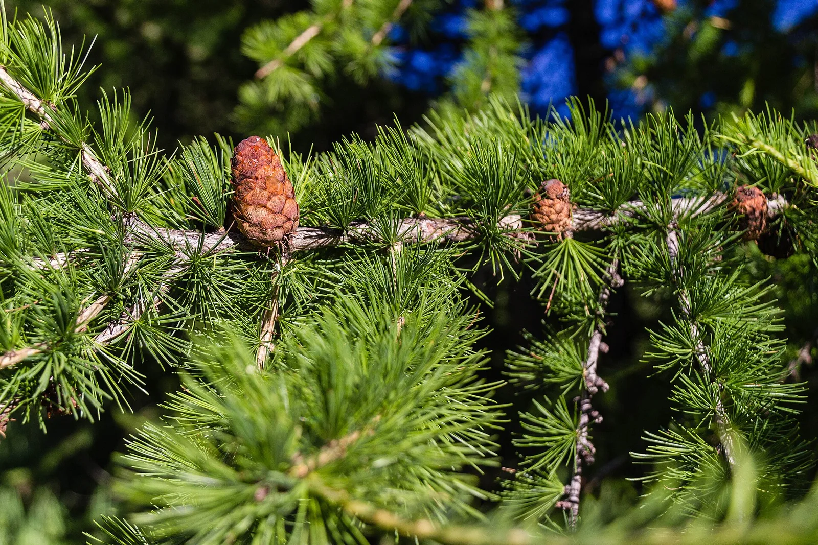
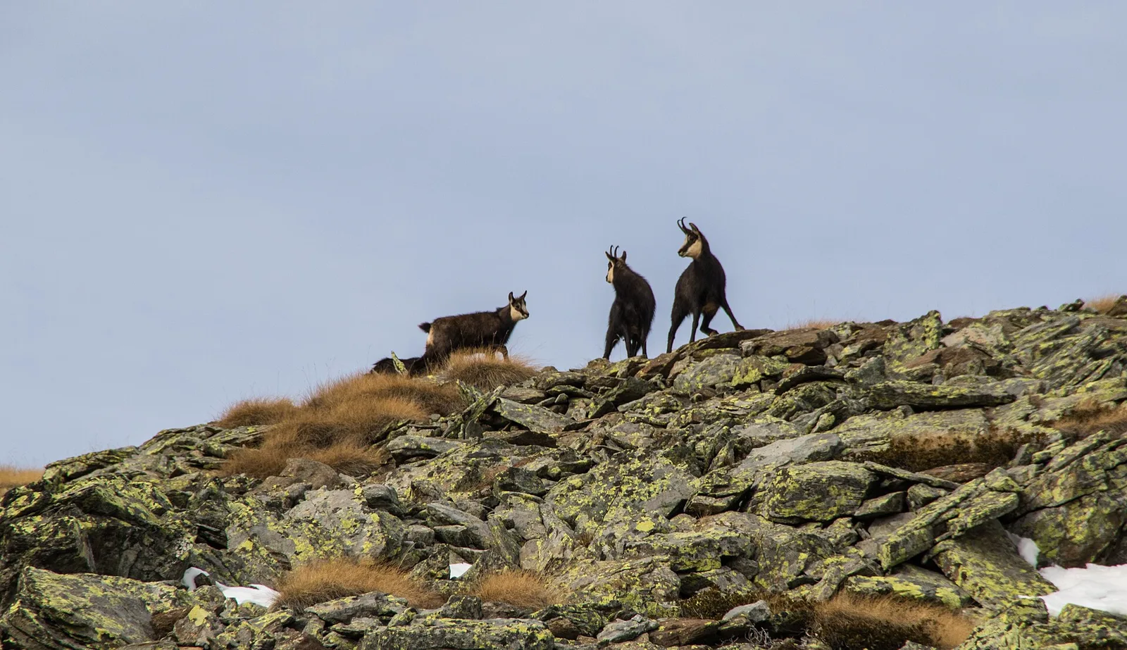
45 trails where Slow worm is listed in flora/fauna: difficulty T–EE, elevation gain 0–1068 m.
45 · 1.0–19.4 km · +0–1068 m
Val d'Ayas
1.9 km · +78 m · E — from Arbaz to Mont d'Arbaz (Ayas Valley).

Valle centrale
2.1 km · +333 m · E — from Arpilles to Champromenty (Lys Valley).
Valle centrale
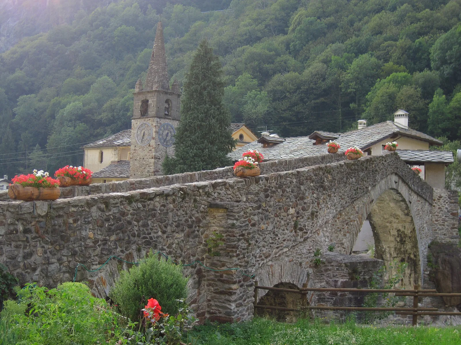
From Moulin to Pont d'Ael (885 m): a short walk to a 3 BC Roman aqueduct bridge, one of the finest preserved in the Alps.

Bassa Valle
In the commune of Cogne, Gran Paradiso National Park: a climb toward a high-altitude objective in an environment of exceptional natural quality.
Valle centrale
3.7 km · +500 m · E — from Blavy to Grandzette (Valpelline).
Valle centrale
3.8 km · +694 m · E — from Blavy to La Bourra (Valpelline).
Val d'Ayas
6.6 km · +0 m · EE — from Capiron to Gettaz (Central Valley).
Valle centrale
4 km · +720 m · E — from Chambave to Del (Central Valley).
Valle centrale
1.4 km · +334 m · E — from Champlong dessus to Prorayé (Central Valley).
Val di Rhêmes
6.4 km · +210 m · E — from Chanavey to Thumel (Great St Bernard Valley).
Valle centrale
1.5 km · +89 m · T — from Chenière to Moulin (Lys Valley).
Valle centrale
2.7 km · +441 m · E — from Crétaz to Capoluogo (Valsavarenche).
Valle centrale
2.7 km · +88 m · E — from Domianaz to Isseuries (Valdigne).
Valle di Champorcher
1.4 km · +297 m · EE — from Echelly to Grand-Rosier (Valtournenche).
Val di Cogne
3.1 km · +291 m · E — from Epinel to Gimillan (Lys Valley).
Val d'Ayas
2.9 km · +0 m · E — from Erésaz to Abay (Great St Bernard Valley).

Valle centrale
1.4 km · +164 m · E — from Feilley to Moron (Valtournenche).
Valle centrale
3.8 km · +450 m · E — from Fossaz to Grand Sarriod (Central Valley).
Valle centrale
3.5 km · +432 m · E — from Fossaz to Gerbore (Central Valley).
Val Ferret
1.8 km · +163 m · E — from La Palud to Planpincieux (Great St Bernard Valley).
Valle centrale
2 km · +207 m · E — from La Ravoire to Castello di Montmayeur (Valgrisenche).
Bassa Valle
1.3 km · +95 m · T — from Piazza del Municipio to Le tre Goye (Valsavarenche).
Valtournenche
1 km · +245 m · E — from Lies to Bosco di protezione (Valtournenche).
Val d'Ayas
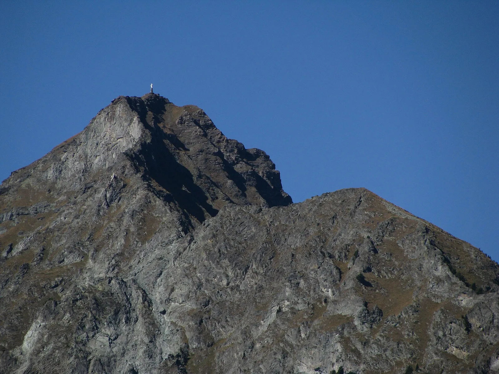
In the Val d'Ayas, commune of Ayas: a steady E-rated climb toward a high-altitude objective on well-marked terrain.
Valle del Lys
2.4 km · +438 m · E — from Lillianes to Le Miriou (Central Valley).
Valle centrale
4.1 km · +892 m · E — from Moline to Brein (Lys Valley).
Valle del Lys
3.7 km · +790 m · E — from Nantay to Ruine damon (Central Valley).
Valtournenche
2.3 km · +178 m · E — from Pâquier to Lago Loz (Central Valley).
Bassa Valle
1.3 km · +111 m · E — from Rovarey to Croce della Missione (Valtournenche).
Valle centrale
4.2 km · +778 m · E — from Perron to Cretes (Lys Valley).
Valle del Lys
1.7 km · +471 m · E — from Pianatz to Kocia (Great St Bernard Valley).
Valgrisenche
4.7 km · +488 m · E — from Planaval to Miollet (Valtournenche).
Valle centrale
3.1 km · +806 m · E — from Pompiod to Champallex (Champchenille) (Valtournenche).
Valle centrale
2.5 km · +497 m · E — from Pont-Avisod to Ville-Sur-Sarre (Valgrisenche).
Valle centrale
4.3 km · +1068 m · E — from Ponte Dora Baltea to Alpe Mont Giron (Valdigne).
Valle centrale
4.7 km · +51 m · E — from Via Battaglione Aosta to Verdetta (Valtournenche).
Val d'Ayas
2.3 km · +283 m · E — from Sizan to Sant'Anna (Ayas Valley).
Valle del Gran San Bernardo
19.4 km · +524 m · E — from Nus to Roisan (Valpelline).
Valle centrale
In the commune of La Salle, Valdigne: an accessible route through mixed forest and pastures with views of Mont Blanc.
Bassa Valle
1.4 km · +312 m · T — from Piazza R.Challand to Croix de Saint-Gilles (Valtournenche).
Valle centrale
1.9 km · +80 m · E — from Vetan dessus to Leytanettaz (St-Nicolas) (Central Valley).
Valle centrale
3.9 km · +713 m · E — from Veynes to Valtolanaz (Central Valley).
Valle centrale
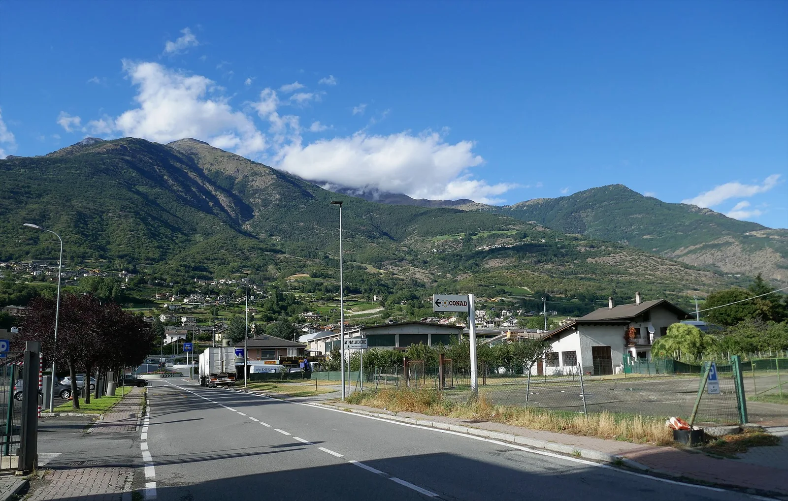
In the lower Val d'Ayas, Challand-Saint-Victor: a moderate climb through vineyards, meadows and forest toward upper hamlets.
Bassa Valle
3.7 km · +616 m · E — from Vesey damon to Lac de Panaz (Central Valley).
Val d'Ayas
1.5 km · +331 m · E — from Vollon (Brusson) to Salomon (Ayas Valley).