
E
Valle centrale
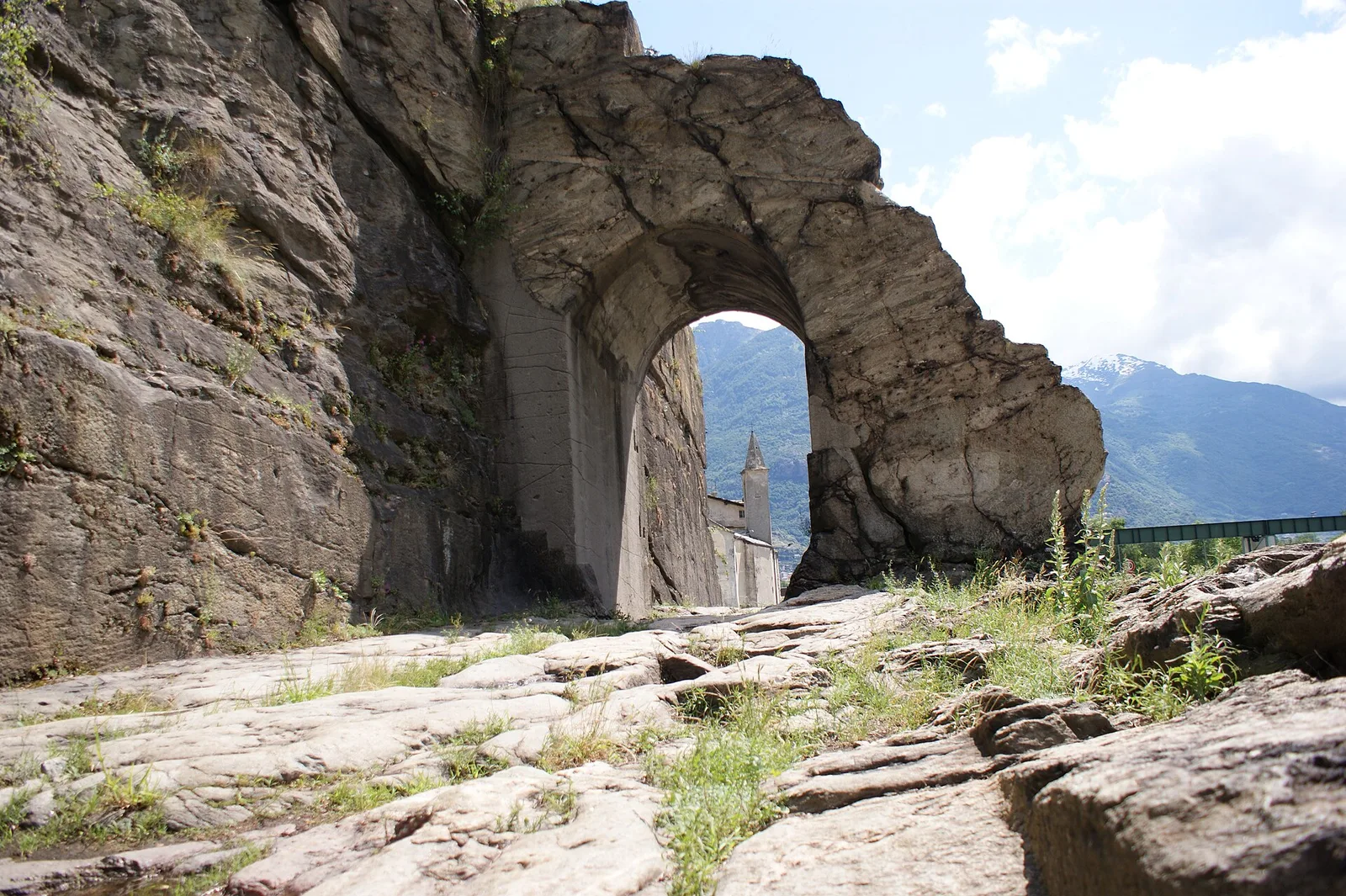
Arlier - Cloutraz (Pontey)
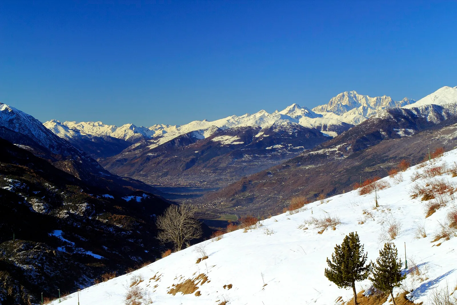
From Arlier (603m) to Cloutraz (1067m) on the Châtillon hillside: 3.5 km E through vineyards, woodland and views over the Dora Baltea.
3.5 km+515 m2 h
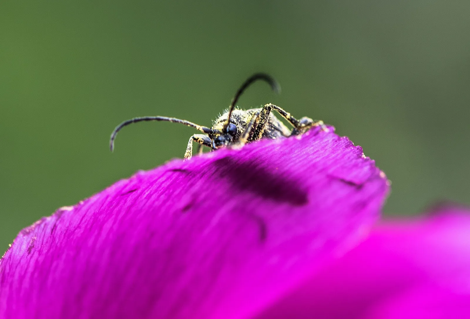
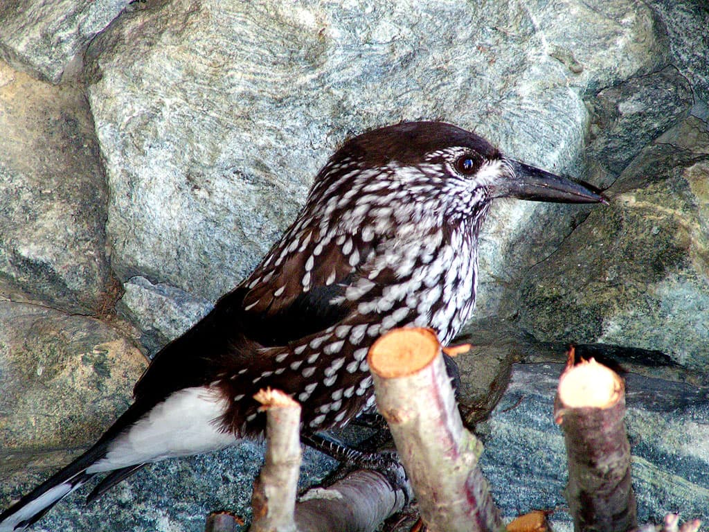
Where to spot
55 trails where Song thrush is listed in flora/fauna: difficulty T–EE, elevation gain 0–1722 m.
55 · 0.5–17.4 km · +0–1722 m
Valle centrale
From Arlier (603m) to Cloutraz (1067m) on the Châtillon hillside: 3.5 km E through vineyards, woodland and views over the Dora Baltea.

Valle centrale
2.1 km · +333 m · E — from Arpilles to Champromenty (Lys Valley).
Valle centrale
5.5 km · +786 m · E — from Bellecombe to Alpe Valmeriana (Valdigne).
Valle centrale
3.8 km · +694 m · E — from Blavy to La Bourra (Valpelline).
Valtournenche
In the commune of Antey-Saint-André, Valtournenche: an E-rated route across sunny slopes, hamlets and pastures.
Valtournenche
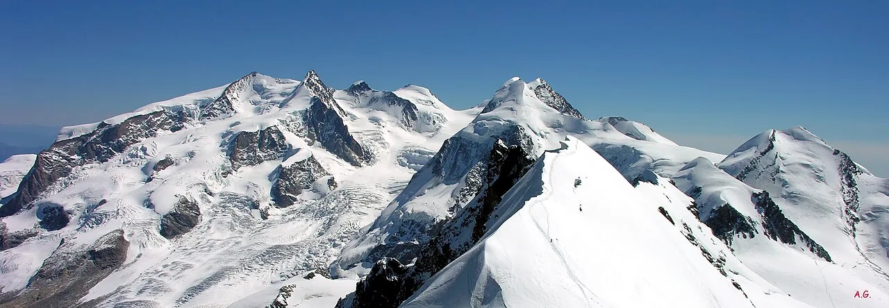
A long traverse through Valtournenche from the vineyards of Bourg (1,078 m) to the pastures of Maen (1,991 m), with views toward the Matterhorn.
Valle del Gran San Bernardo
2.8 km · +516 m · E — from Buthier to Alpe e Rifugio Chaligne (Central Valley).
Bassa Valle
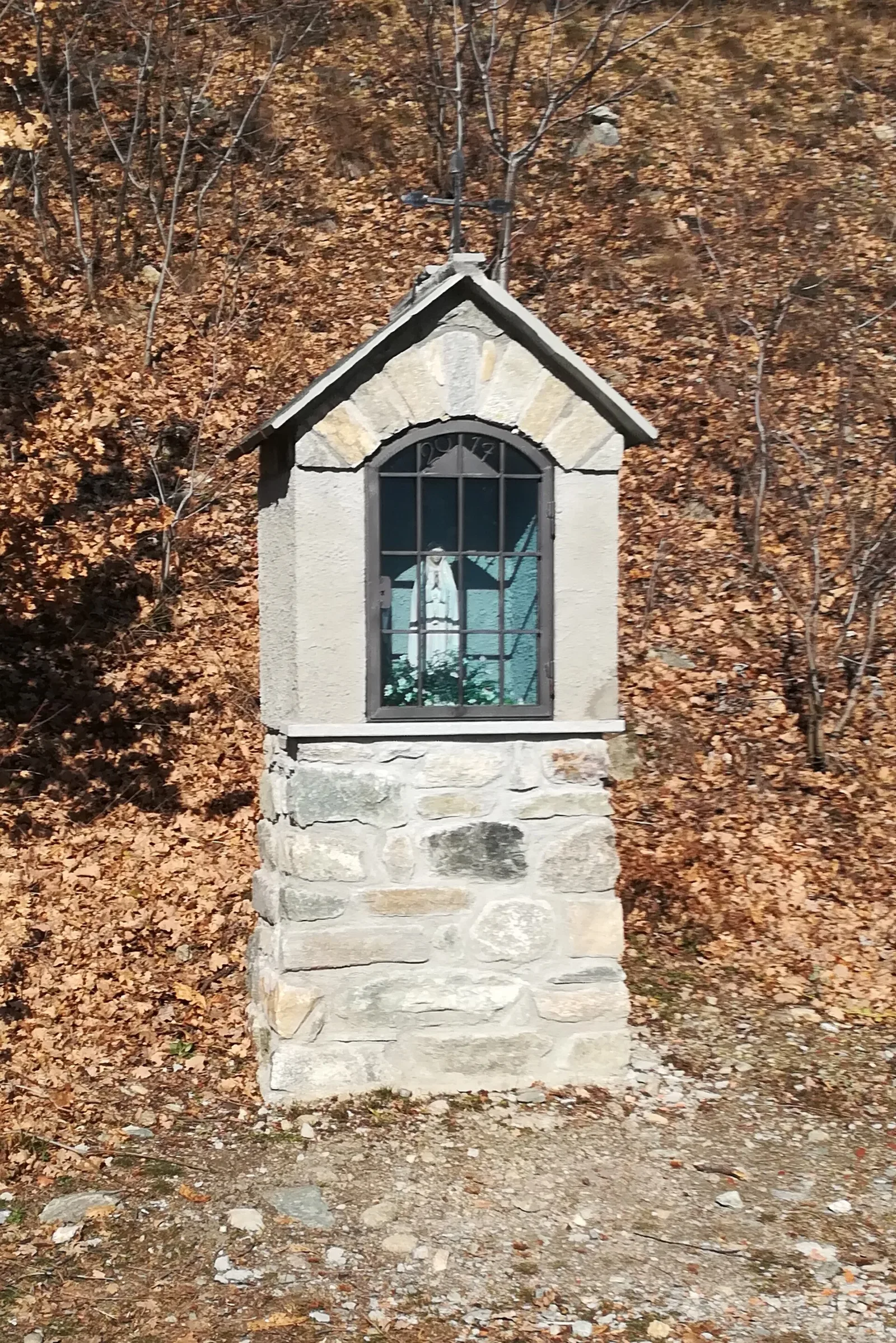
2.4 km · +471 m · E — from Cappella Sant'Erasmo to Reserve Naturelle de Holay (Central Valley).
Val d'Ayas
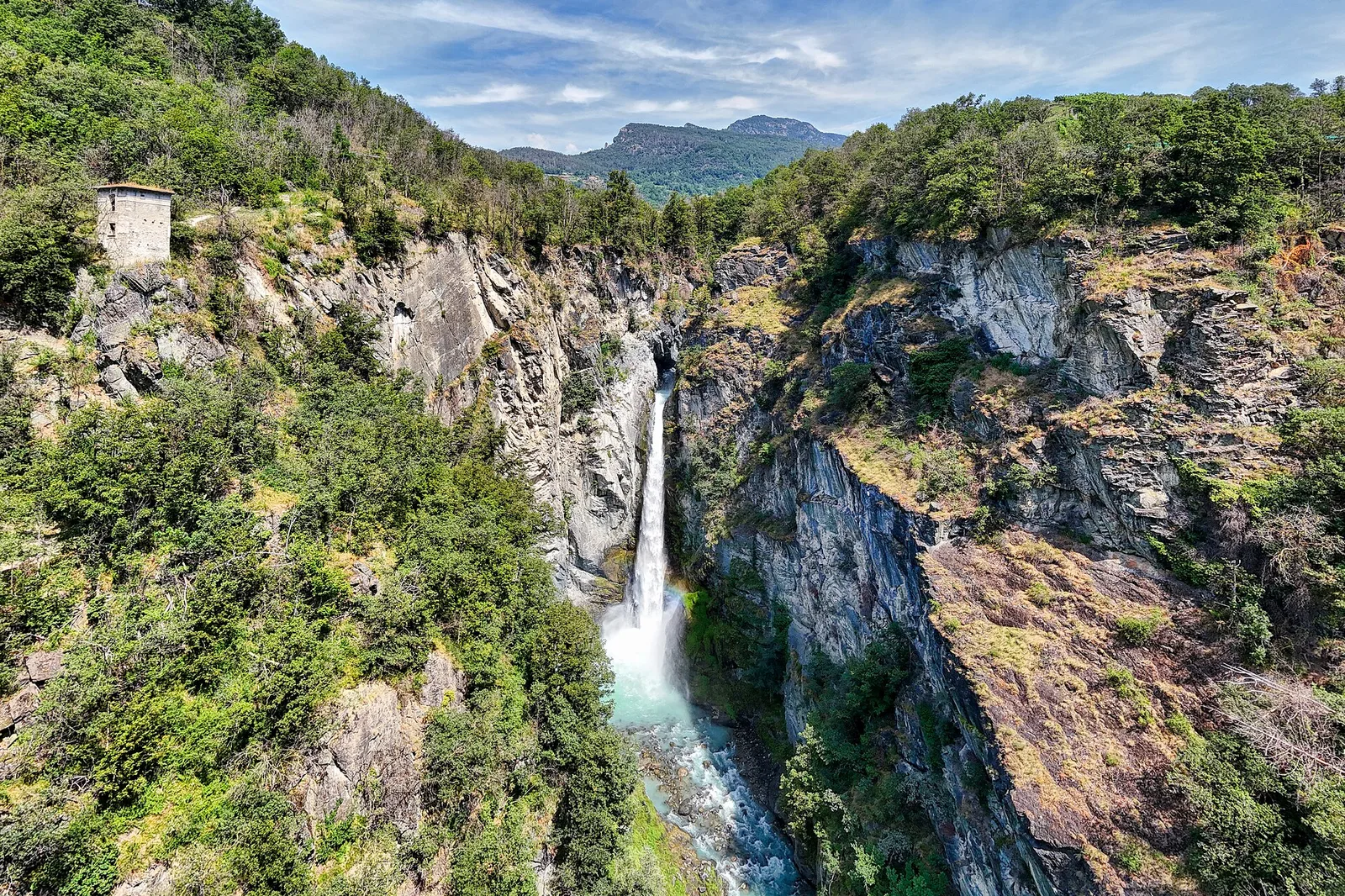
1.6 km · +255 m · E — from Champoluc to Cascata Mascognaz (Central Valley).
Valtournenche
0.7 km · +72 m · E — from Champtorné to Gortz� (Valpelline).
Val di Rhêmes
1.8 km · +74 m · T — from Chanavey to Bruil, Foyer de Fond (Great St Bernard Valley).
Valle di Champorcher
4.4 km · +507 m · E — from Chardonney to Champlong (Valtournenche).
Bassa Valle
From the valley floor at Chateau Vallaise (454m) to Saint Anne's chapel (1342m): 4.3 km and 921 m of ascent through vineyards, chestnut groves and woodland on the Avise hillside.
Valle centrale
4.8 km · +623 m · E — from Echarlod to Morges (La Thuile).
Val d'Ayas
0.7 km · +133 m · E — from Erésaz to Borna da Ghiasa (Great St Bernard Valley).

Valle centrale
1.4 km · +164 m · E — from Feilley to Moron (Valtournenche).
Bassa Valle
4.5 km · +938 m · E — from Fey to Croix Corma (Central Valley).
Valle centrale
0.6 km · +46 m · E — from Gerbore to Vetan (Central Valley).
Val di Cogne
3.1 km · +95 m · E — from Gimillan to Tsavanis (Lys Valley).
Bassa Valle
4.3 km · +659 m · E — from Chiesa di San Giorgio to Biel (Valsavarenche).
Valle centrale
In the Valgrisenche, Arvier: a steady E-rated climb through forest and meadows toward upper pastures.
Valle centrale
3.3 km · +259 m · T — from Liarey to Chabodey (La Salle) (Central Valley).
Val d'Ayas
5.6 km · +793 m · E — from Lo Pian to Covarey (Parcheggio) (Central Valley).
Valpelline
0.5 km · +135 m · E — from Località Champette to innesto sentiero 6 A (Valtournenche).
Valtournenche
2.3 km · +427 m · E — from Mayen to Pâquier (Cré-du-Pont) (Central Valley).
Valle di Champorcher
2.1 km · +183 m · E — from Mellier to Grand-Rosier (Valtournenche).
Valle centrale
6.1 km · +1274 m · E — from Miserègne to Bec Tolomon (Lys Valley).
Valle centrale
2 km · +461 m · E — from Moulin to Gorettaz (Lys Valley).
Valle centrale
1.2 km · +140 m · E — from Nus to Chateau de Nus (Valpelline).
Val d'Ayas
3.9 km · +1057 m · E — from Omens to Bec de l'Oie (Valtournenche).
Val d'Ayas
3 km · +493 m · E — from Orbeillaz to Col Tzecore (Ayas Valley).
Bassa Valle
3.1 km · +639 m · E — from Outrefer to Pourcil (Valtournenche).
Valpelline
3 km · +0 m · E — from Tornante quota 1309 to Thoules (Lys Valley).
Valle centrale
1.4 km · +137 m · E — from Ozein to Strada per Torlin (Cogne Valley).
Valtournenche
2.3 km · +178 m · E — from Pâquier to Lago Loz (Central Valley).
Valle del Lys
1.7 km · +471 m · E — from Pianatz to Kocia (Great St Bernard Valley).
Valle del Lys
3.9 km · +226 m · T — from Piazzale Colletesand to Staffal (Lys Valley).
Val d'Ayas
2.3 km · +307 m · E — from Capoluogo to Salomon (Ayas Valley).
Val Veny
2.4 km · +379 m · E — from Plan Checrouit to Col Checrouit (Great St Bernard Valley).
Valle centrale
3.4 km · +635 m · E — from Plout to Druges (Great St Bernard Valley).
Valle centrale
3 km · +795 m · E — from Pompiod to Torlin desot (cappella)- Raccordo 38_S6 (Valtournenche).
Valle centrale
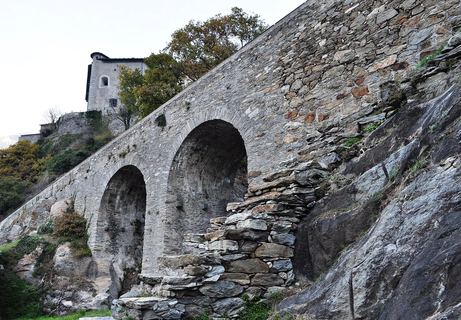
1.5 km · +190 m · T — from Ponte Romano to Moron (Valtournenche).
Bassa Valle
9 km · +1546 m · E — from Pramotton to Alpe Bonze (Valtournenche).
Valle del Gran San Bernardo
1 km · +250 m · E — from Saint-Oyen to Eternod (Great St Bernard Valley).
Bassa Valle
2.9 km · +391 m · E — from Poline desot to Ronchas (Central Valley).
Valtournenche
7 km · +702 m · E — from Plau to Plau (Central Valley).
Valpelline
A scenic loop above Bionaz, from La Culoz via Mont Echeut and Sevey: 1,200 metres of ascent among alps and balconies over Valpelline.
Valle centrale
1.7 km · +277 m · E — from Trepont to Liveroulaz (St-Nicolas) (Central Valley).
Val d'Ayas
1.6 km · +382 m · E — from Valyre to Salirod (Valtournenche).
Valle di Champorcher
5.2 km · +1722 m · E — from Varesa to Chavanna (Champorcher Valley).
Valle centrale
In the commune of La Salle, Valdigne: an accessible route through mixed forest and pastures with views of Mont Blanc.
Valle centrale
A short climb in the Valdigne from Vedun, via Châtelet, to the pastures of the Alpe Or de Breuil, above La Salle.
Valle centrale
2.1 km · +235 m · EE — from Vens to Col du Joux (Central Valley).
Val d'Ayas
3.3 km · +600 m · E — from Ponti Romani to Tron damon (Ayas Valley).
Valle centrale
3.9 km · +713 m · E — from Veynes to Valtolanaz (Central Valley).