Gran Combin Tour — Stage 1: Ollomont → Rifugio Prarayer

11 km
+700 m
−50 m
4.5 h
Fitness level
~1170 kcal estimated
Elevation profile
Map & route
Download GPXGPX track — verify on the ground before hiking
Description
First VdA stage of the Gran Combin Tour: climb to Prarayer hut at the foot of Prarayer glacier.
Earth sciences
Geology & landscape
Gran Combin flank: gneiss, micaschists and valley glaciers; lithological transition toward Great St Bernard.
Water sources
Rifugio Prarayer and Valpelline villages.
Getting there
VITA buses and connections from Aosta; check seasonal timetables at vita.it.
Parking
Parcheggi comunali nei paesi di valle; verificare limitazioni in alta stagione.
Warnings
- Check weather and residual snow early season
- Book huts in peak season
Nearby peaks
Start & end
Start
Ollomont
1336 m
Finish
Rifugio Prarayer
2005 m
Refuges & bivouacs
Photo gallery
Flora along the trail
Adjacent stages
ACurated and verified by Andrea
Data source: Catasto Sentieri Regione Autonoma VdA · Open data — DGR 899/2014
Last verified:
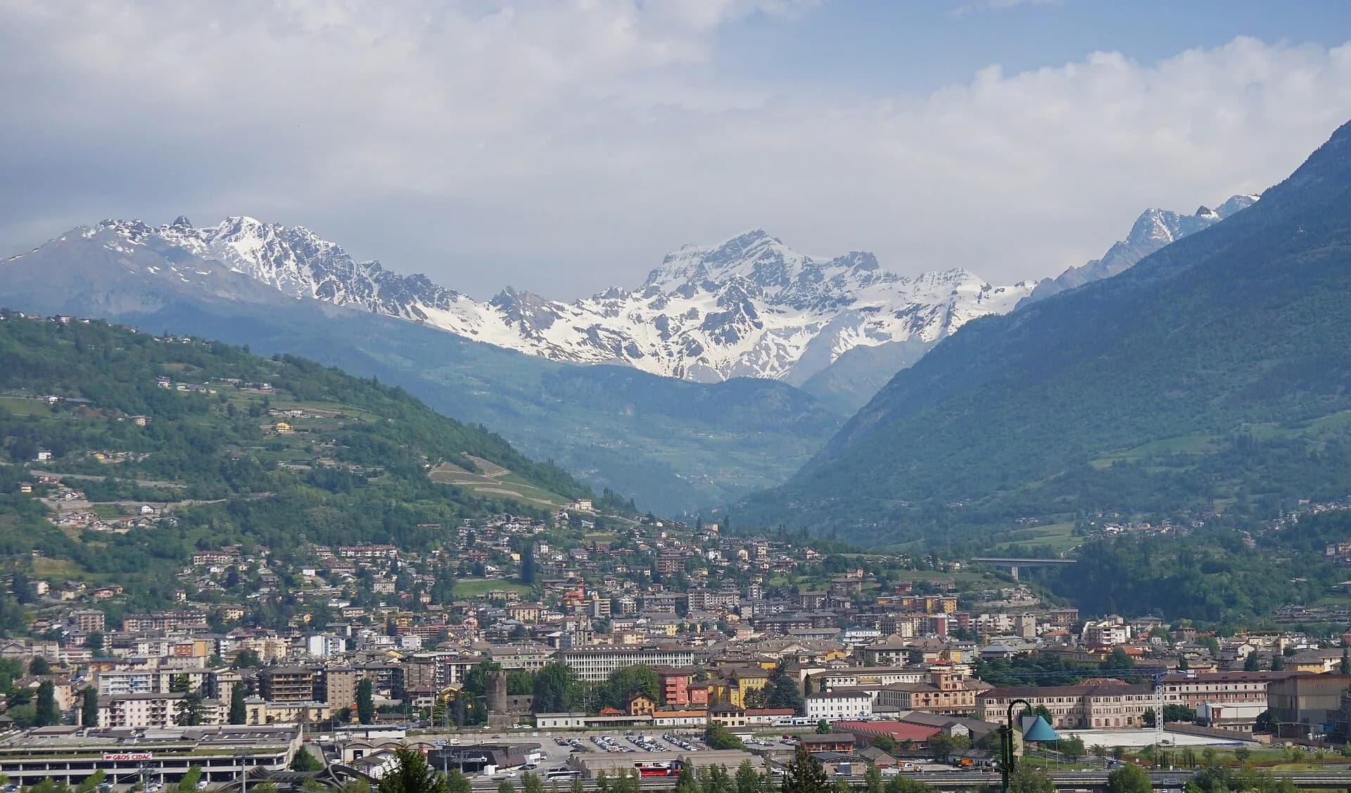
Valpelline
Related trails
Same valley or similar routes — more hikes to explore.
Valpelline
Gran Combin Tour — Stage 3: Colle del Gran San Bernardo → Combin de Tsessione
Approach to the Gran Combin massif.

Valpelline
Gran Combin Tour — Stage 4: Combin de Tsessione → Oyace
Descent to Oyace closing the VdA Gran Combin loop.

Valpelline
High Route 1 — Stage 11: Rifugio Oratorio di Cuney → Oyace
From the Sanctuary of Cuney to the Valpelline: a long descent over exposed ridges with short scramble sections, ending at Oyace in the heart of the Aosta Valley's most untouched valley.

Valpelline
High Route 1 — Stage 12: Oyace → Ollomont via Col Brison
The wild Valpelline: Oyace and Ollomont sit at nearly the same elevation, but Col Brison at 2520 m demands over 1100 m of climbing with views to Mont Vélan and Grand Combin on the Swiss border.