Val Ferret — Val Ferret svizzera
Tour du Mont Blanc — Stage 4: Rifugio Elena → La Fouly
9.7 km
+503 m
−1045 m
5.5 h
Fitness level
Map & route
GPX track — verify on the ground before hiking
Description
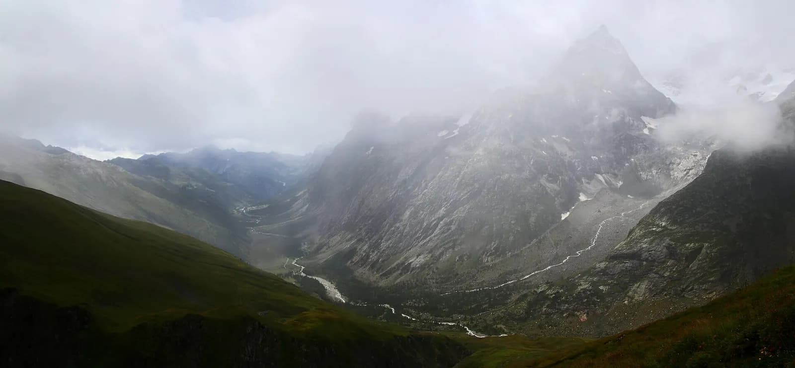
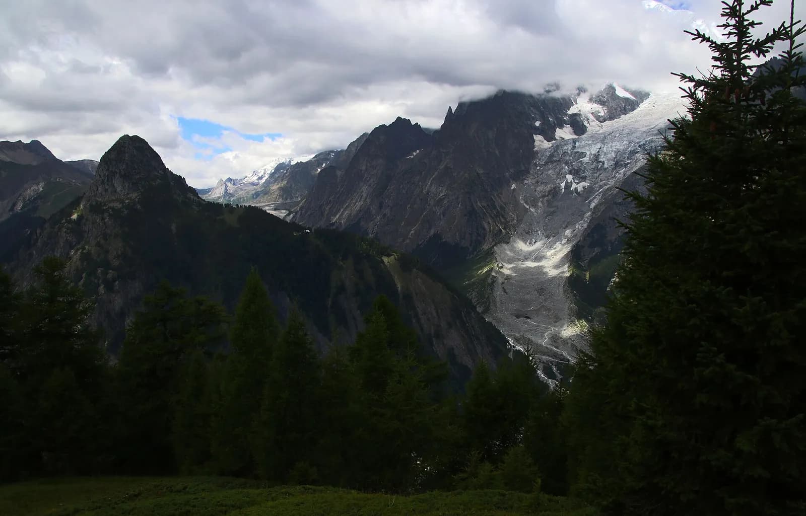
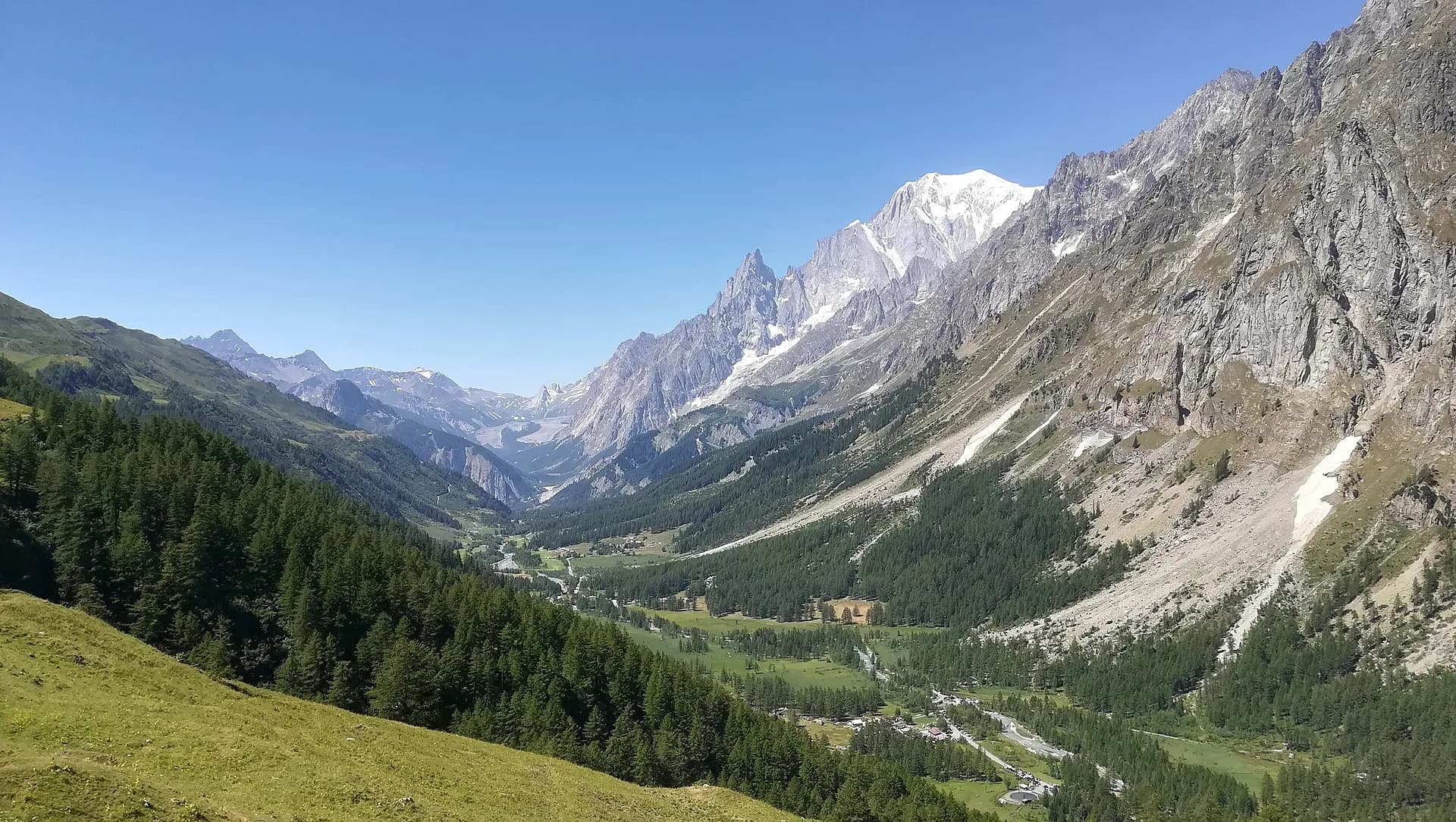
From Rifugio Elena a steady climb leads to the Grand Col Ferret (2,537 m), the Italian-Swiss border and the watershed between the Mediterranean and the North Sea. A long grassy descent through the Swiss Val Ferret, past the La Peule alp, ends in the village of La Fouly (1,610 m).
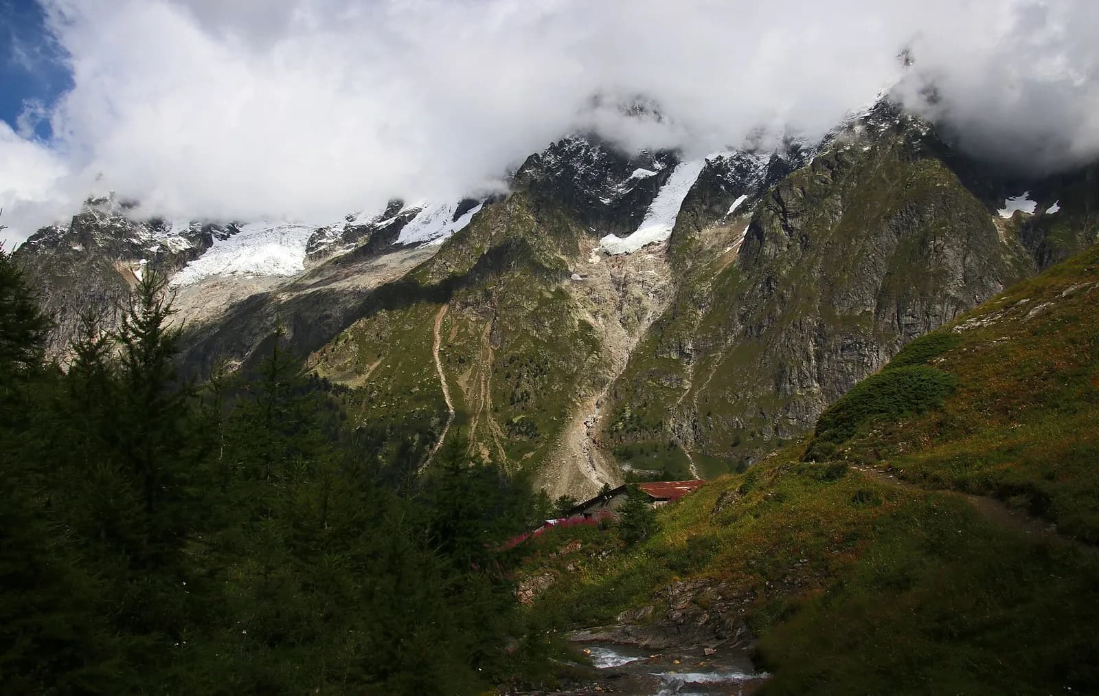
The climb to the Grand Col Ferret is steady and always well graded: an hour and a half of grassy switchbacks with the Pré de Bar glacier sinking gradually behind you. At the pass — where a boundary stone marks the border — the landscape changes character at once: the Swiss side is softer, all pastures and rolling knolls, grazed by the cows of the La Peule alp, where you can buy alpine cheese. The long descent to La Fouly follows the young Drance through larches and clearings; the village has a shop, hotels and buses to Orsières.
Key points
Grand col Ferret
2537 m · 2.3 km from start
Earth sciences
Geology & landscape
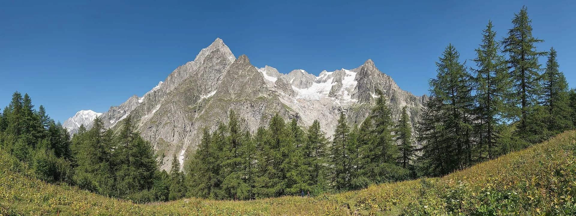
The Mont Blanc massif is a Hercynian granite batholith (~300 million years old) uplifted by the Alpine orogeny: the pale Mont Blanc granite — the “protogine” — forms the Peuterey and Géant spires. At its feet the tour walks on older crystalline basement rocks (gneiss and micaschist) and, in Val Veny, on the Mesozoic limestones of the Pyramides Calcaires, a sliver of sedimentary cover pinched between the granites. The Miage and Brenva moraines are textbook examples.
History & culture
The Grand Col Ferret has marked the boundary between the Aosta and Valais worlds for centuries: herds, salt and wine crossed here. La Fouly is the historic base of the Swiss Val Ferret guides.
Water sources
Water at the stage's support points (Rifugio Elena, La Fouly). On the high ground and at the passes springs are not guaranteed: fill bottles in the valley and at the huts.
Getting there
Cross-border stage: on the foreign sides local public transport applies (PostAuto in Switzerland, line buses in France/Piedmont). Check seasonal timetables; in peak season several access links run by reservation only.
Warnings
- Snowfields possible on the passes until early July
- Book overnight stops in peak season
Start & end
Start
Rifugio Elena
2060 m
Finish
La Fouly
1605 m
Refuges & bivouacs
Photo gallery
Adjacent stages
ACurated and verified by Andrea
Data source: Tour du Mont Blanc — itinerario internazionale segnalato · Traccia calcolata su rete sentieri OpenStreetMap (ODbL); verificare sul terreno
Last verified:
Val Ferret — Val Ferret svizzera
Related trails
Same valley or similar routes — more hikes to explore.
Val Ferret
Tour du Mont Blanc — Stage 1: Courmayeur → Rifugio Giorgio Bertone
A steady climb from Courmayeur to the Rifugio Bertone balcony.
Val Ferret
Tour du Mont Blanc — Stage 2: Rifugio Giorgio Bertone → Rifugio Walter Bonatti
The Mont de la Saxe balcony, face to face with the Grandes Jorasses.
Val Ferret
High Route 1 — Stage 16: Rifugio Frassati → Rifugio Bonatti via Col Malatrà
Col Malatrà at 2925 m is the rooftop of Alta Via 1: from the panoramic crest above Mont Blanc the trail descends into Val Ferret to the legendary Rifugio Walter Bonatti.
Val Ferret
High Route 1 — Stage 17: Rifugio Bonatti → Courmayeur
The final AV1 stage: the Val Ferret balcony trail with Mont Blanc and Grandes Jorasses always in sight, ending at Courmayeur, Italy's alpine capital.