Rifugio Bonatti loop

9.2 km
+620 m
−620 m
4 h
Fitness level
~2100 kcal estimated
Elevation profile
Map & route
Download GPXGPX track — verify on the ground before hiking
Description
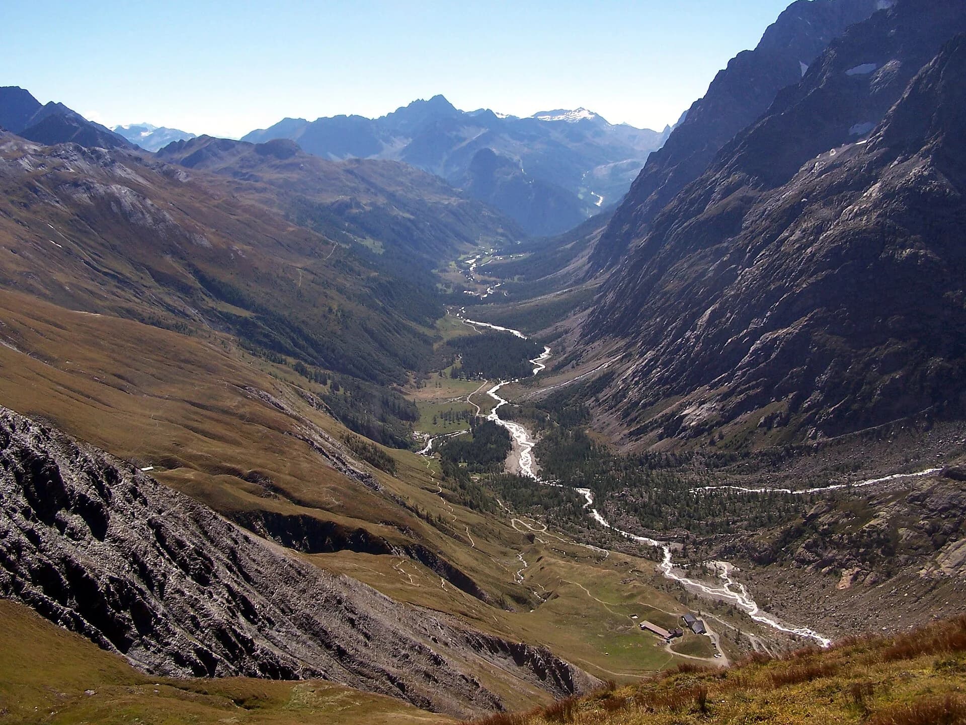
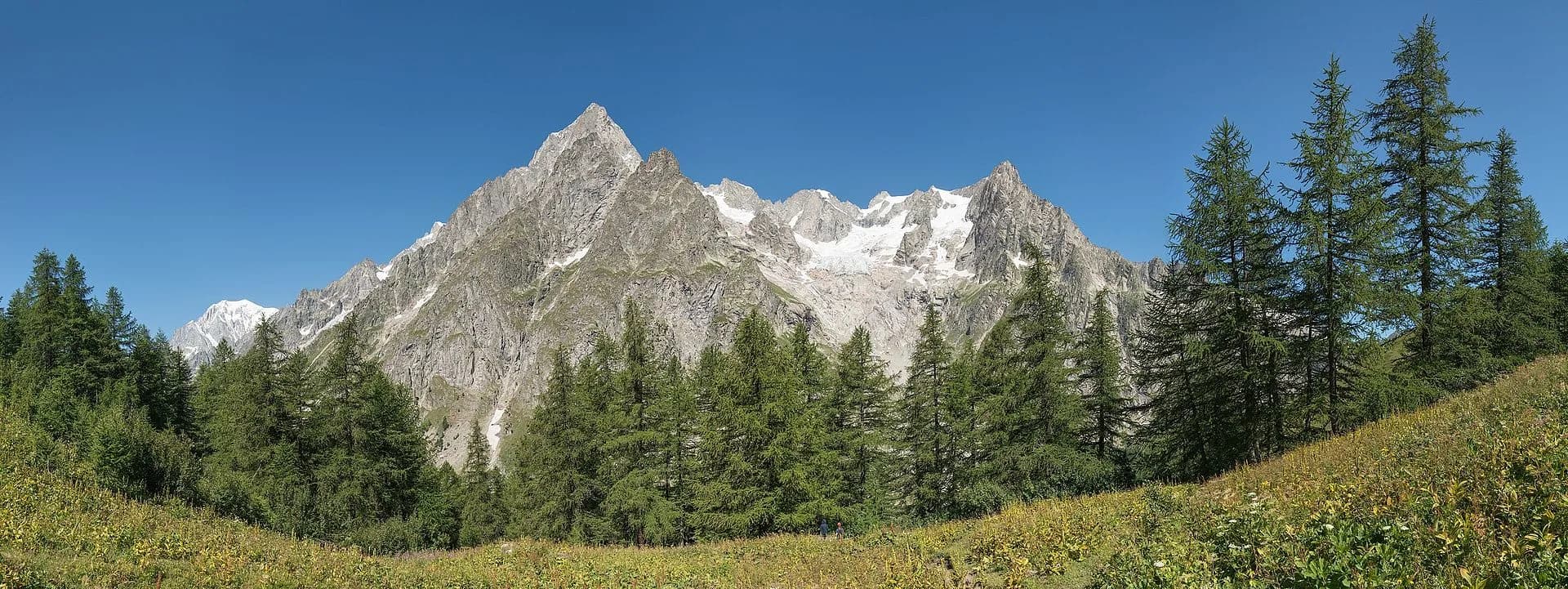
From Lavachey car park the trail climbs to Rifugio Bonatti (2025 m) along the Tour du Mont Blanc route. The view onto Grandes Jorasses, Dent du Géant and Mont Dolent is staggering. Descend via Pra Sec or return the same way. Family-friendly for kids used to walking.
Key points
Lavachey
1642 m · 9.2 km from start
Loop finish
Earth sciences
Geology & landscape
The loop crosses the eastern Mont Blanc massif slope on gneiss and calcschists with deformed granite outcrops. The TMB trail follows Würmian glacial deposits of the Miage glacier with clearly visible lateral moraines. Below 1900 m, Ferret stream alluvial deposits and paleosols on decomposed moraines dominate. Forested slopes show acid soils with larch and rhododendron. The Miage glacier, a monitored glaciological front, shows evident retreat with proglacial lakes and recent lacustrine deposits. Marble and dolomitic limestone outcrops indicate the massif sedimentary cover.
History & culture
The trail follows the Tour du Mont Blanc, a major alpine pilgrimage route. Rifugio Bonatti celebrates Walter Bonatti, pioneer of Italian alpine exploration.
Water sources
Water at Rifugio Bonatti. Carry a bottle from Lavachey for the climb.
Getting there
Summer Savda bus to Val Ferret from Courmayeur. Local taxi by reservation.
Parking
Parcheggio a pagamento a Lavachey, punto di partenza anello.
Warnings
- Crowded trail in August
- Alternative descent via Pra Sec is steeper
Nearby peaks
Start & end
Start
Lavachey
1642 m
Finish
Lavachey
1642 m
Refuges & bivouacs
Photo gallery
Flora along the trail
Themes and features
Adjacent stages
ACurated and verified by Andrea
Data source: Catasto Sentieri Regione Autonoma VdA · Open data — DGR 899/2014
Last verified:
Val Ferret
Related trails
Same valley or similar routes — more hikes to explore.

Val Ferret
Tour du Mont Blanc — Stage 1: Courmayeur → Rifugio Bertone
First Italian TMB stage: climb to Rifugio Bertone above Courmayeur.

Val Ferret
Tour du Mont Blanc — Stage 2: Rifugio Bertone → Rifugio Bonatti
High traverse of Val Ferret to the famous Rifugio Bonatti.
Val Ferret
Tour du Mont Blanc — Stage 3: Rifugio Bonatti → Rifugio Elena
From Bonatti to Elena along the Val Ferret balcony.
Val Ferret
High Route 1 — Stage 16: Rifugio Frassati → Rifugio Bonatti via Col Malatrà
Col Malatrà at 2925 m is the rooftop of Alta Via 1: from the panoramic crest above Mont Blanc the trail descends into Val Ferret to the legendary Rifugio Walter Bonatti.