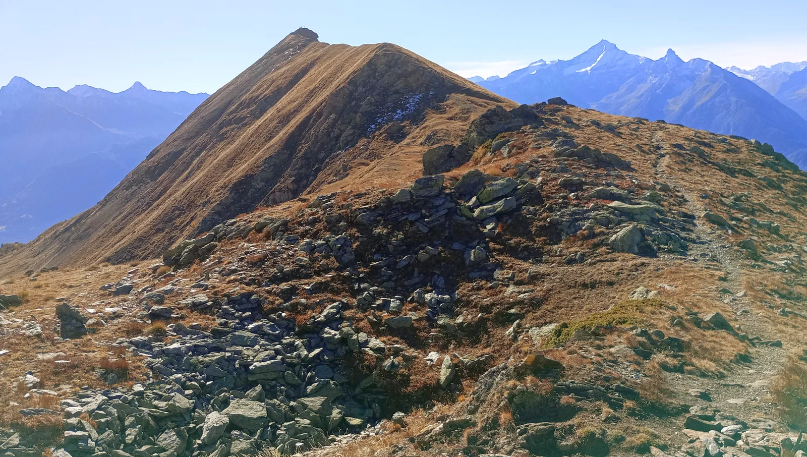
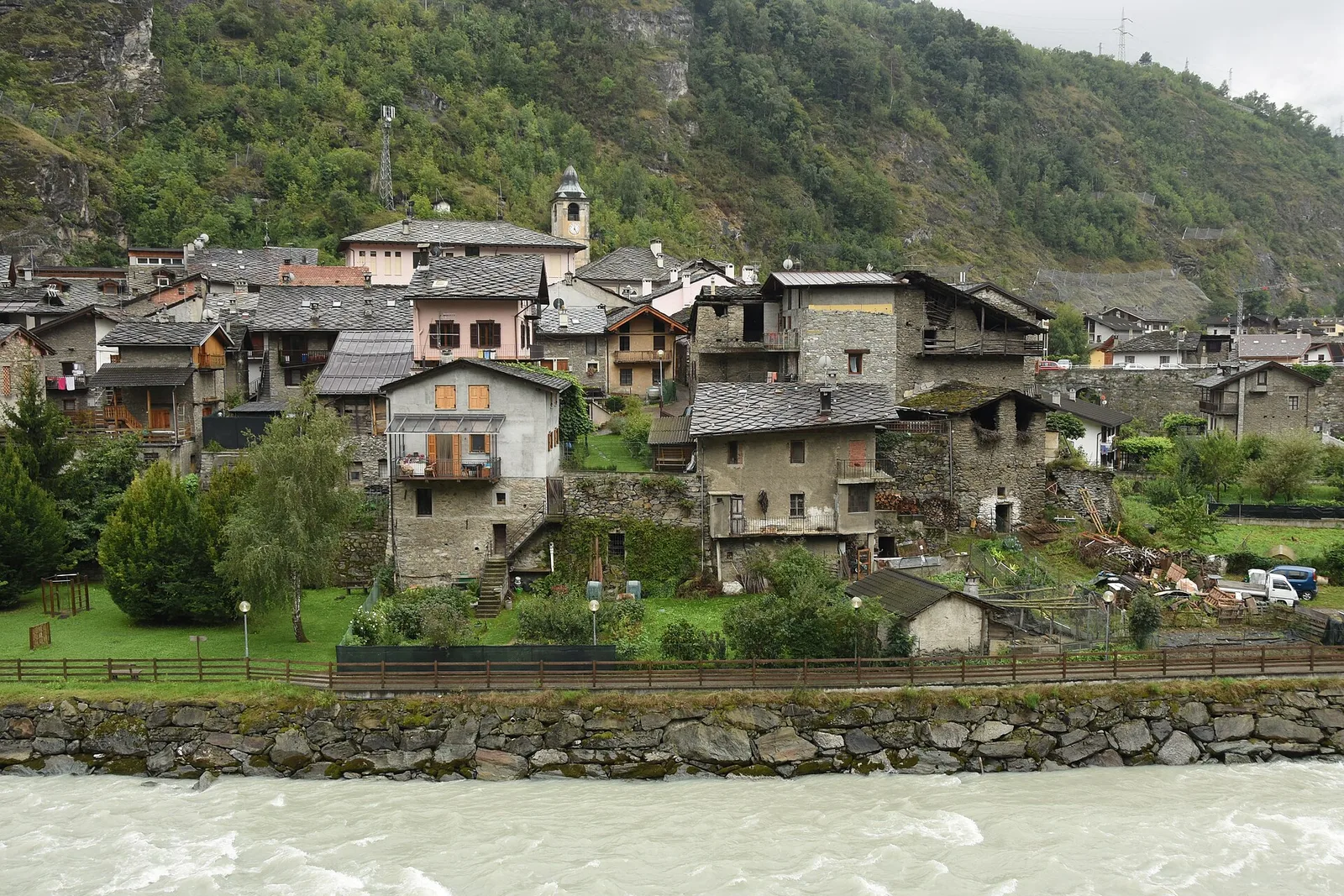
Echevennoz - Pointe Chaligne
6.5 km
+1468 m
−0 m
5.5 h
Nivel físico
Mapa y ruta
Traza GPX — verifica sobre el terreno antes de caminar
Descripción
Puntos clave
Salida
Echevennoz · 1256 m
Llegada
Pointe Chaligne · 2611 m
Sendero
S2
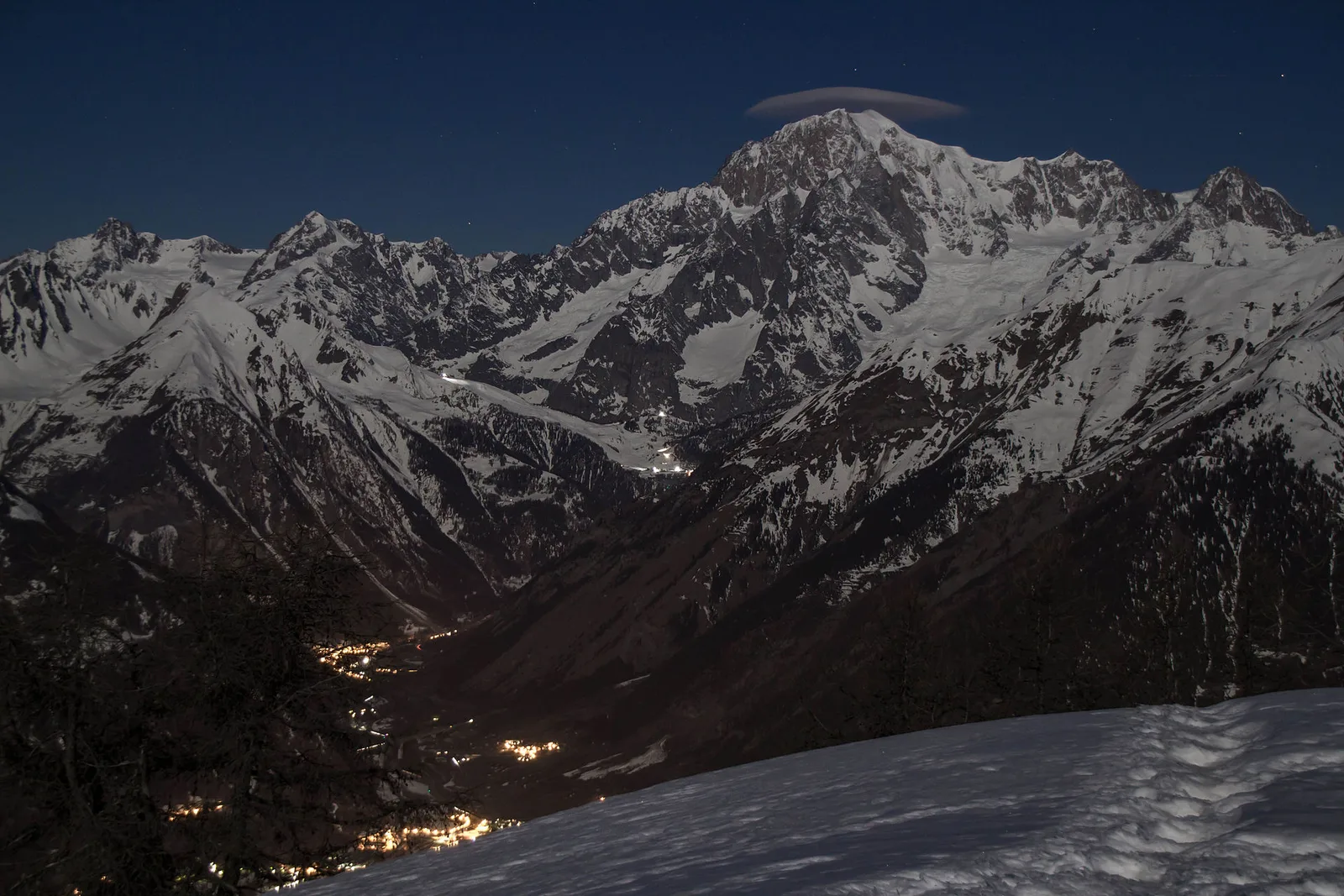
Echevennoz - Pointe Chaligne is an official trail from the Aosta Valley trail registry (code 26_S2). The route lies in the municipality of Fénis, in the Central Valley. From Echevennoz (1256 m) to Pointe Chaligne (2611 m): 6.5 km with +1468 m of elevation change, difficulty E (CAI scale). Minimum elevation 1256 m, maximum 2611 m. Recommended season per registry: luglio - settembre (months 7, 8, 9). GPX track and elevation data from Regione Autonoma Valle d'Aosta (open data DGR 899/2014).
Aparcamiento
Galería de fotos
Photos are published immediately. JPG/PNG/WebP, max 6 MB.
Fauna que observar
AEditado y verificado por Andrea Rama
Fuente de datos: Catasto Sentieri Regione Autonoma VdA · Open data — DGR 899/2014
Última verificación:
Valle del Gran San Bernardo
Senderos relacionados
Mismo valle o rutas similares — más excursiones por descubrir.
Valle del Gran San Bernardo
Allein - Mont Saron
From Allein village, the climb to Mont Saron crosses forest, alpine pastures and a summit ridge on the watershed between Gran San Bernardo and Valpelline: 1434 m ascent for fit hikers.
Valle del Gran San Bernardo
Ayez - Genevrey
2.9 km · +477 m · E — from Ayez to Genevrey (Great St Bernard Valley).
Valle del Gran San Bernardo
Bivio strada sterrata per Jovençan - Lacs de Dziule
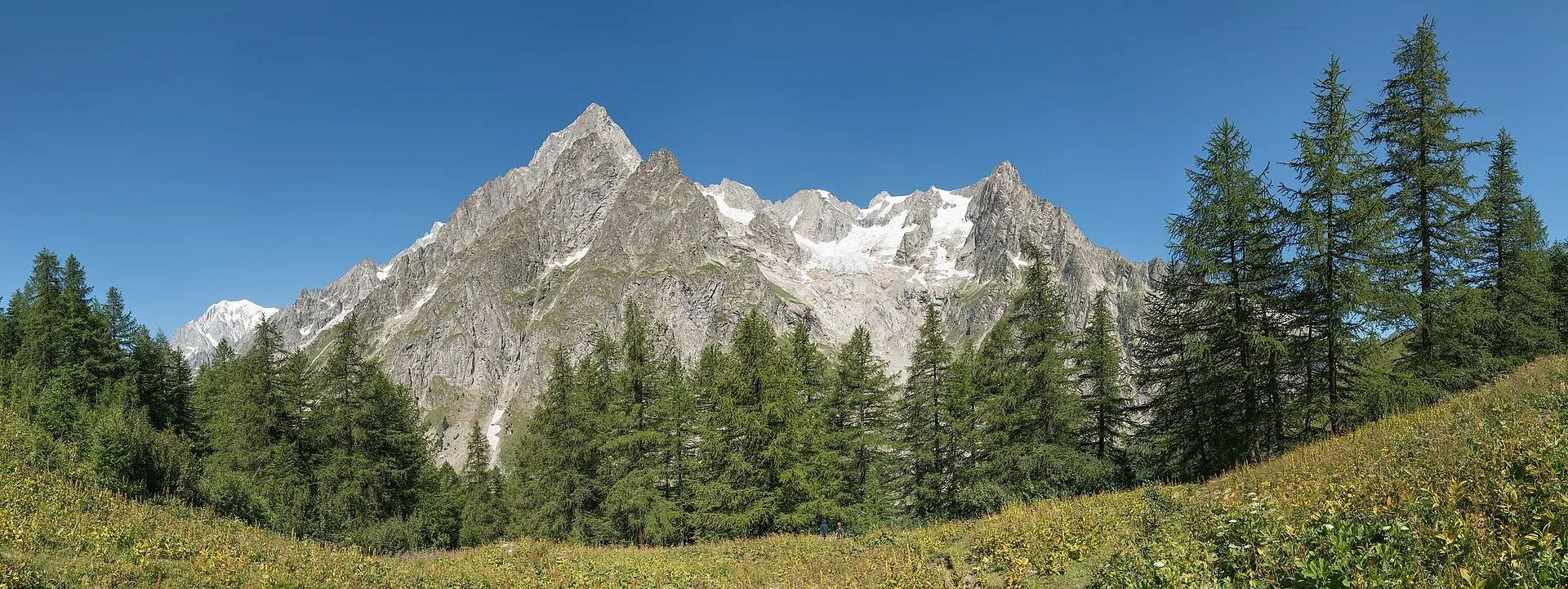
From Jovençan track junction (1855 m) to the glacial Lacs de Dziule (2553 m) in upper Valdigne: 5.8 km, +702 m. Open cirque scenery. E.
Valle del Gran San Bernardo
Bivio strada sterrata per Jovençan - Or de Fra - Lacs de Dziule
Through the Vertosan valley, the trail climbs to the Lacs de Dziule, glacial lakes at 2553 m set in a stark landscape of rock and high meadow in the Valdigne.