E
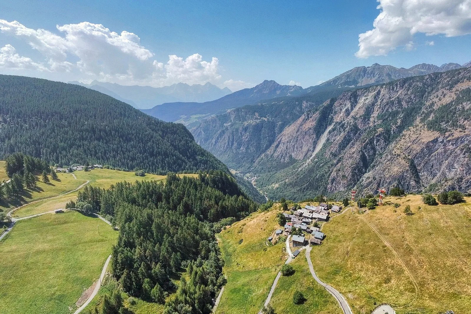
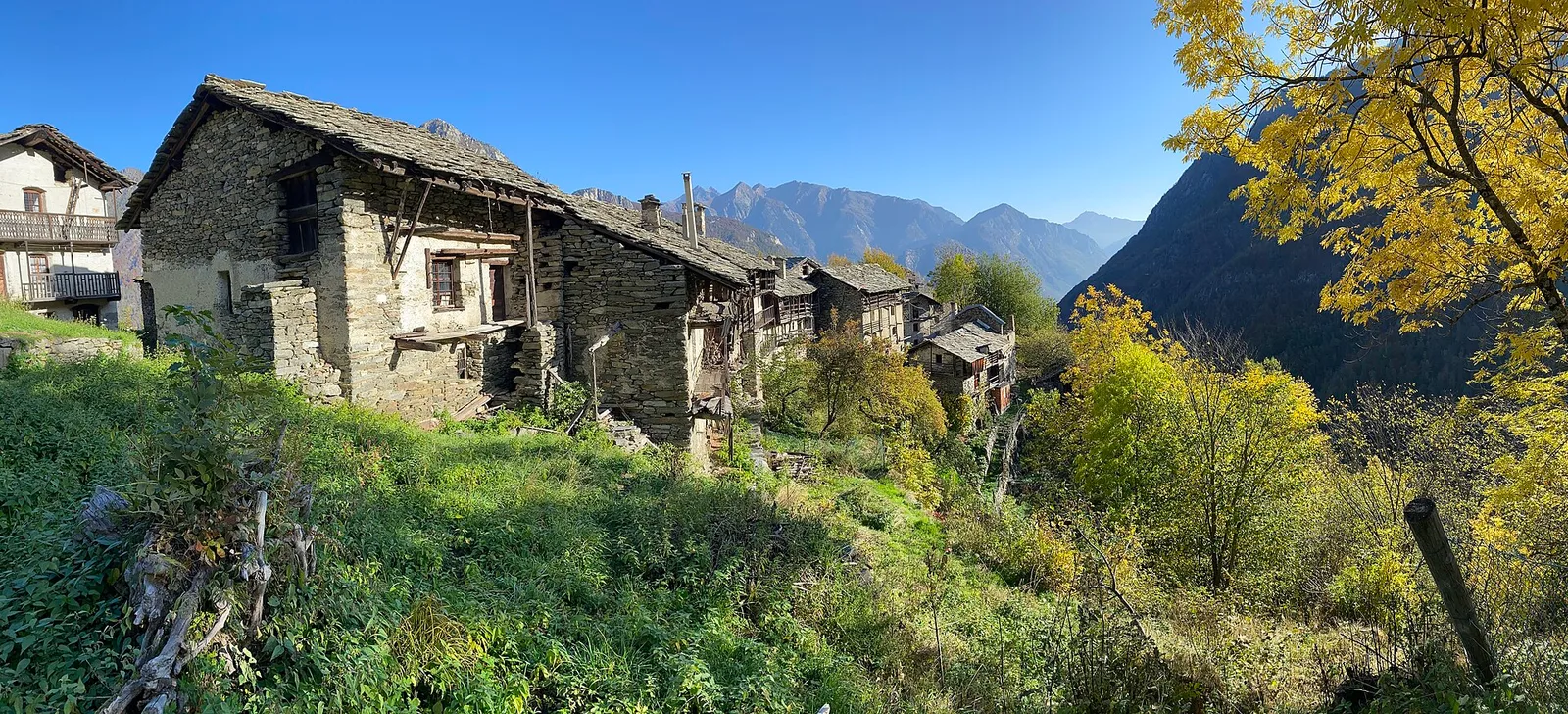
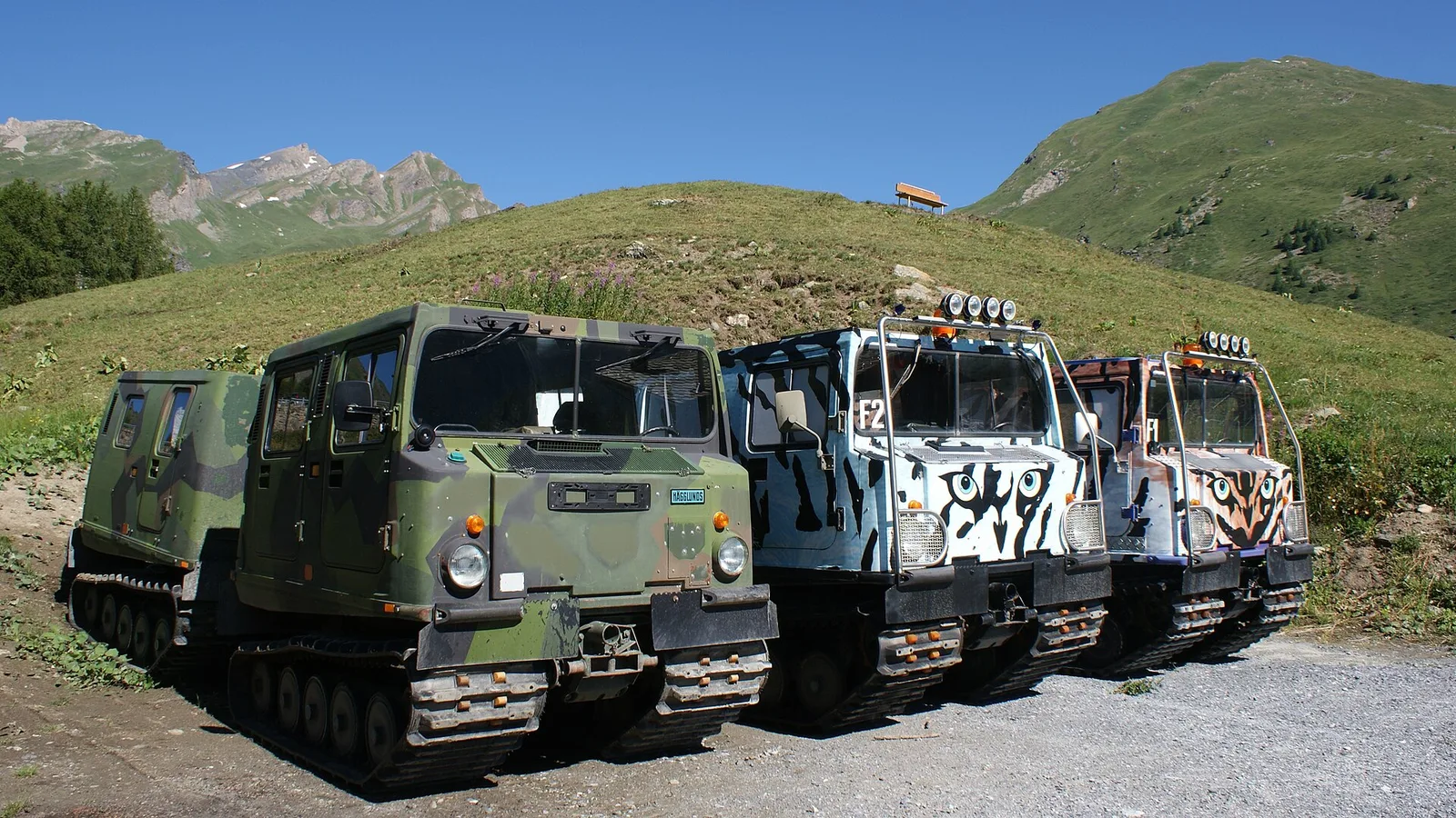
Val Veny
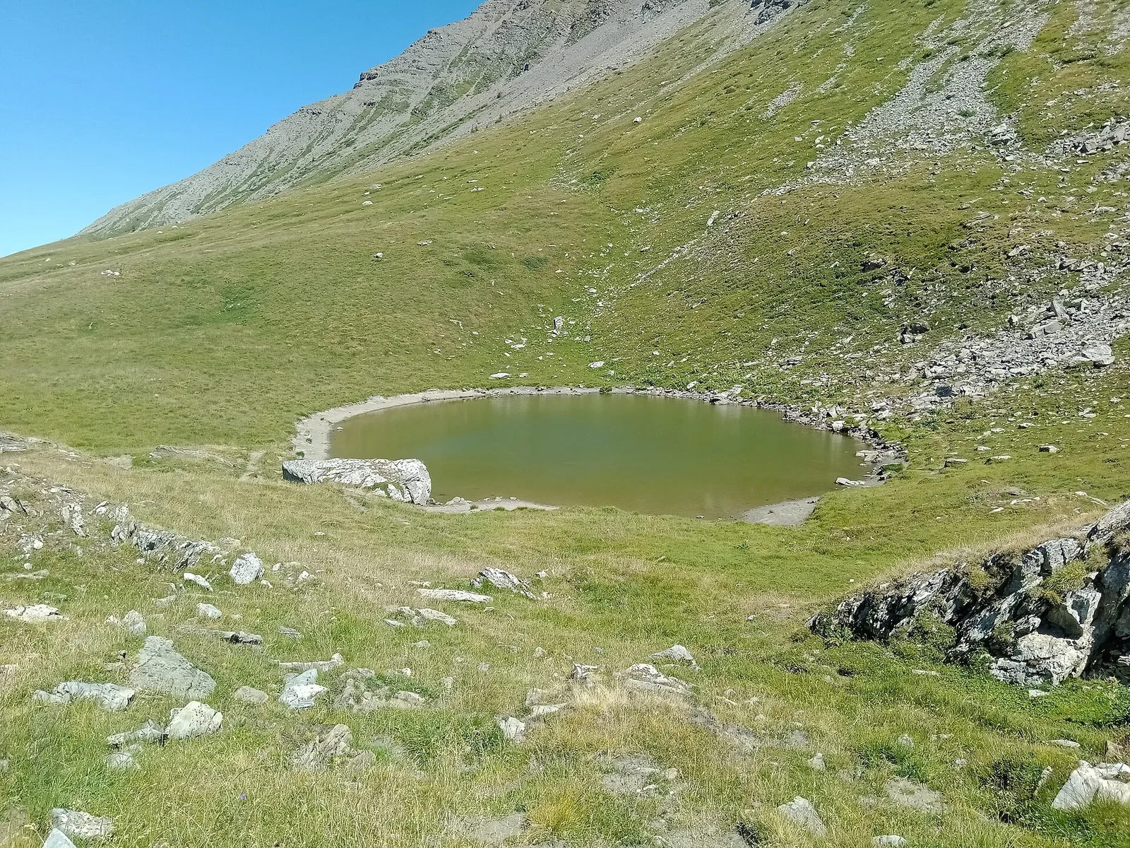
Balme - Lac de la Platé
8.1 km · +1140 m · E — from Balme to Lac de la Platé (Rhêmes Valley).
8.1 km+1140 m5 h
Where to spot
40 trails where Alpine columbine is listed in flora/fauna: difficulty T–EE, elevation gain 0–1234 m.
40 · 1.7–14.3 km · +0–1234 m
Val Veny
8.1 km · +1140 m · E — from Balme to Lac de la Platé (Rhêmes Valley).
Valle centrale
A demanding climb in the Valdigne, La Salle, toward high pastures: sustained elevation gain on an E-rated trail through forest and grassland.
Valle centrale
9.3 km · +968 m · E — from Blavy to Praz (Valpelline).
Valgrisenche
8 km · +678 m · E — from Borègne to Plontaz (Valtournenche).
Valtournenche
3.1 km · +220 m · E — from Chamois to Col Pilaz (Central Valley).
Valle centrale
1.7 km · +213 m · E — from Chamolé to Col Replan (Cogne Valley).
Valle centrale
4.4 km · +543 m · E — from Champlong dessus to Petit-Poignon (Central Valley).
Valle centrale
2.5 km · +477 m · E — from Château to Morges (La Thuile).
Valpelline
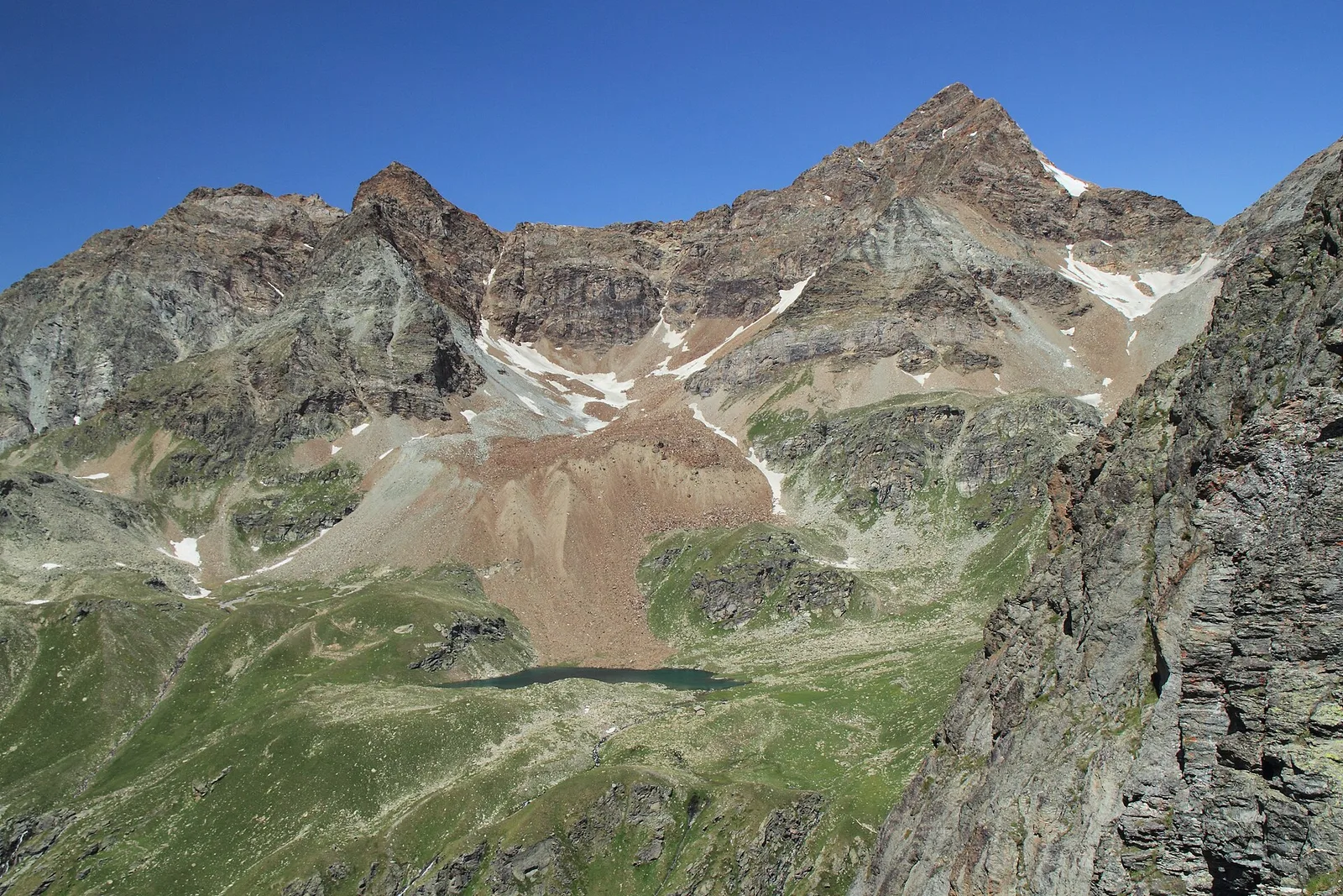
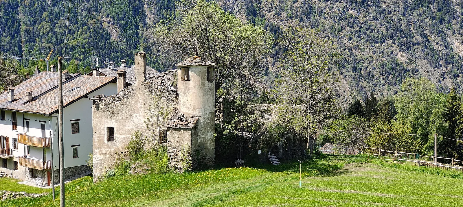
From Chez-Chenoux the trail quickly clears the forest belt and opens onto the Comba di Vertsan pastures, climbing to the ruins of Alpe Chardonney (2519 m) in the quiet upper Valpelline.
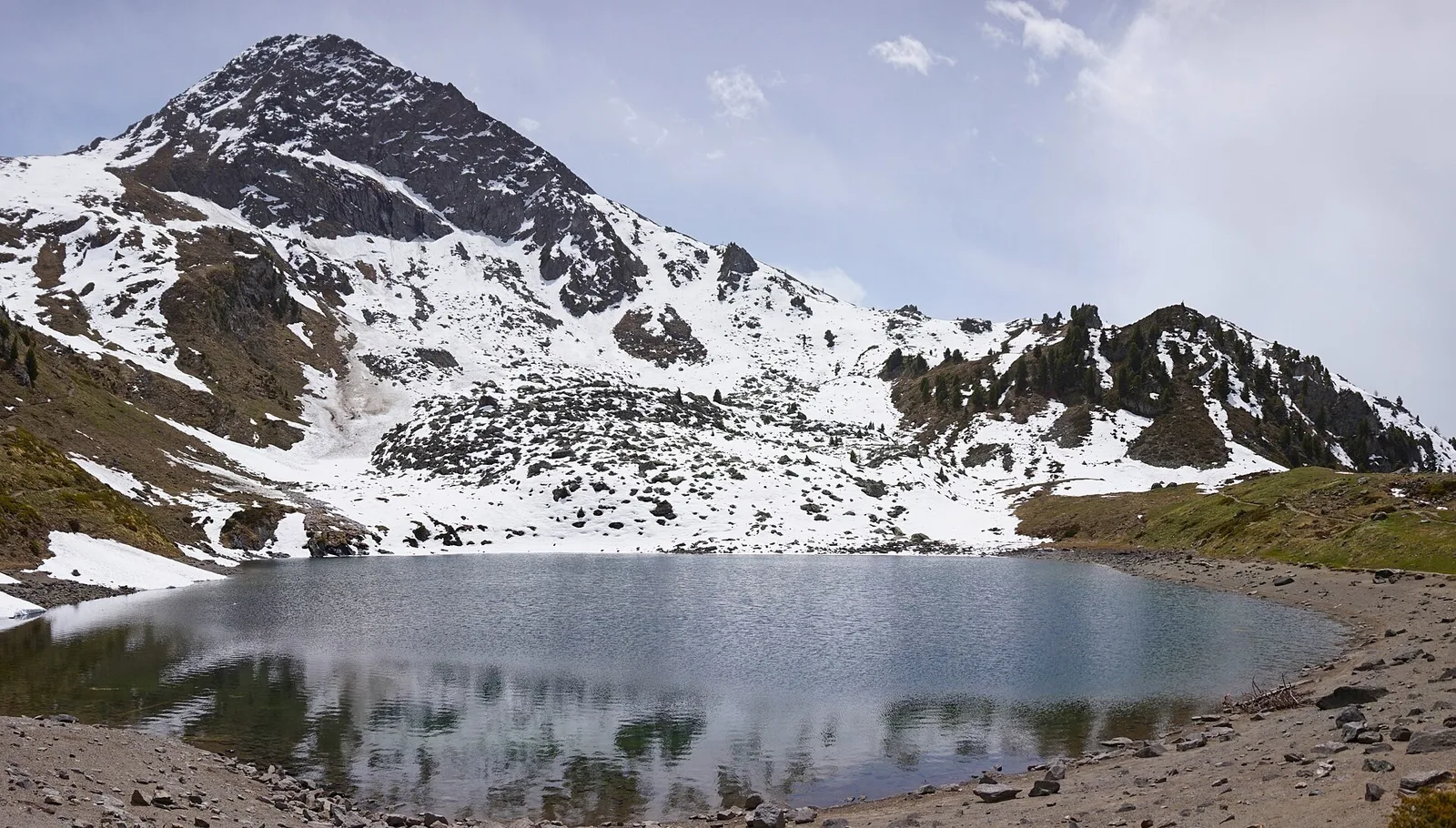
Val di Cogne
4.1 km · +218 m · T — from Capoluogo to Cascata di Lillaz (Lys Valley).
Valle di Champorcher
8 km · +1073 m · E — from Covarey to Col de la Croix (Central Valley).
Val d'Ayas
2.1 km · +0 m · E — from Crest to Mascognaz (Central Valley).
Valle di Champorcher
4.8 km · +708 m · E — from Fournier to Mandaz (Champorcher Valley).
Val Veny
14.3 km · +1234 m · E — from Dolonne to Rifugio Elisabetta (Great St Bernard Valley).

Valle del Gran San Bernardo
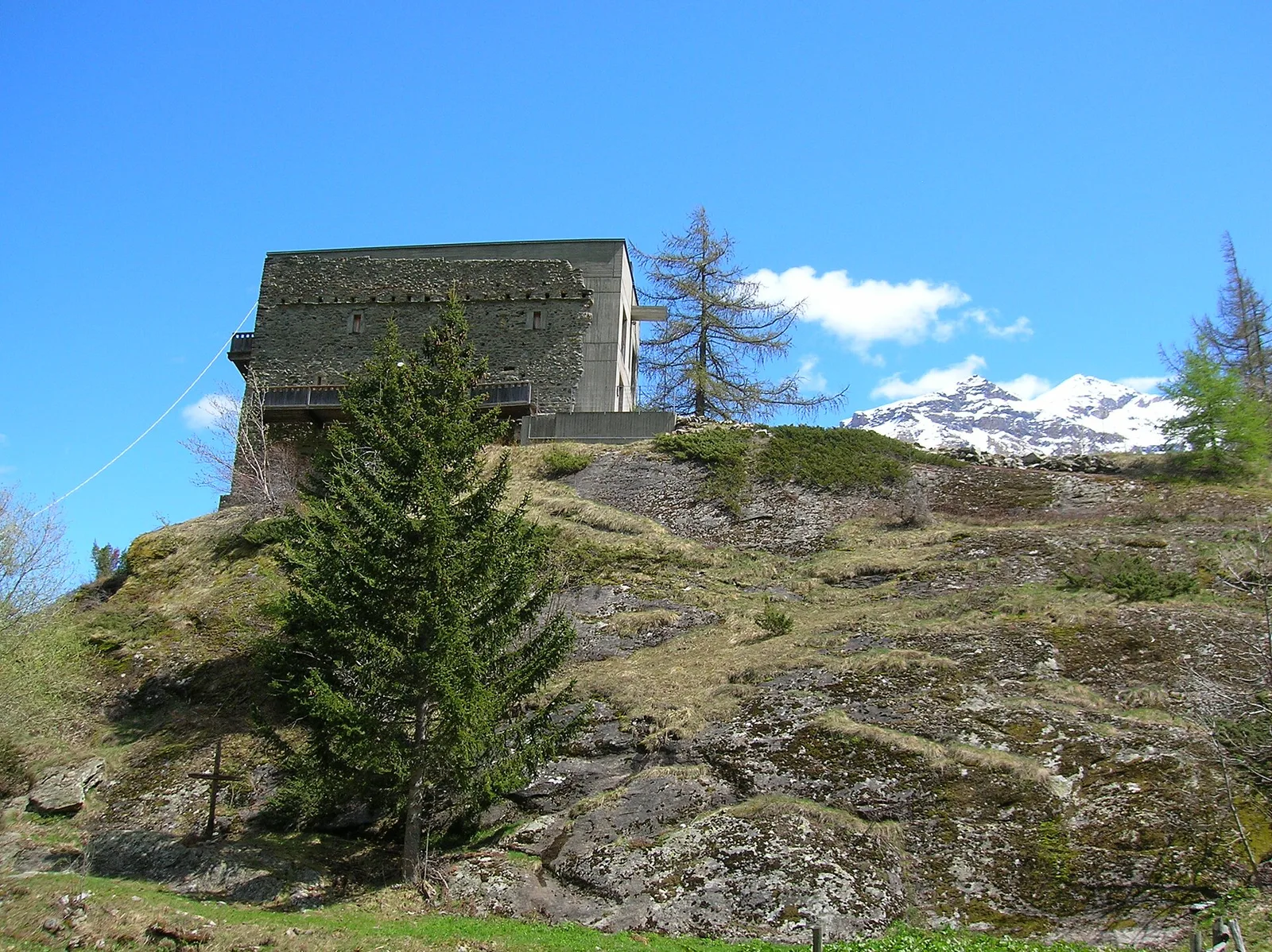
From Ville di Allein, an honest climb through pastures and larch woods to the Dortoir Baravex refuge at 1938 m, in the Great St Bernard valley.
Valle di Champorcher
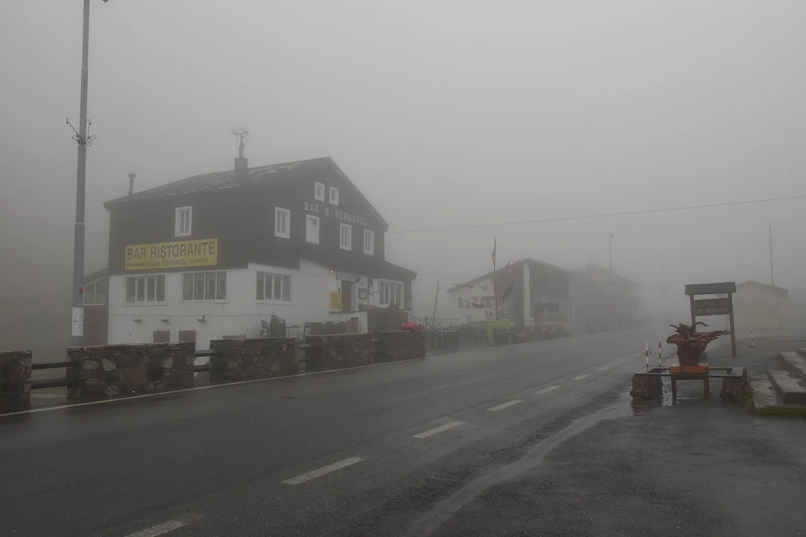
10.8 km · +1062 m · EE — from Druges to Grande Chaux (Great St Bernard Valley).
Valle del Gran San Bernardo
5 km · +823 m · E — from Eternod to Mont Paglietta (Central Valley).
La Thuile
13.6 km · +1159 m · E — from Faubourg to Col des Chavannes (Lys Valley).
Val Ferret
2.4 km · +774 m · E — from La Palud to Pavillon (Great St Bernard Valley).
Valle del Lys
2.8 km · +802 m · E — from Lihrla to Alpe Grignatz (Great St Bernard Valley).
Valle centrale
4.1 km · +892 m · E — from Moline to Brein (Lys Valley).
Valtournenche
3.7 km · +759 m · E — from Moulin Dessous to Cortinaz Damon (Central Valley).
Valle del Lys
3.2 km · +328 m · E — from Muni to Col Dondeuil (Ayas Valley).
Valpelline
5.1 km · +1127 m · E — from Capoluogo to Col Brison (Valpelline).
Valle del Lys
4.8 km · +786 m · E — from Onderwoald to Col Ranzola (Champorcher Valley).
Valle di Champorcher
2.2 km · +442 m · E — from Outre l'Eve to Alpe Monpey (Valtournenche).
Valtournenche
4.9 km · +740 m · E — from Perrère to Bec du Pio Merlo (Central Valley).
Val d'Ayas
2.3 km · +307 m · E — from Capoluogo to Salomon (Ayas Valley).
Val Ferret
4.8 km · +823 m · E — from Plan Ponquet to Mont-Chetif (Great St Bernard Valley).
Valtournenche
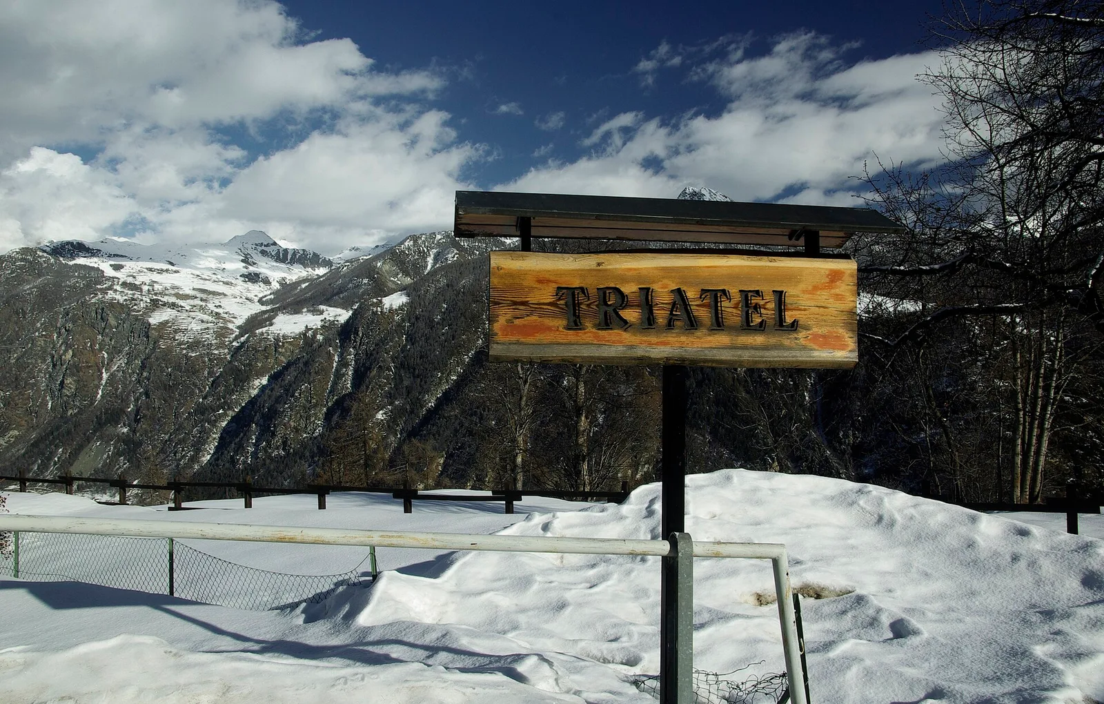
2.7 km · +556 m · E — from Confine comunale Antey -Torgnon to Triatel (Valpelline).
Valle del Gran San Bernardo
6.2 km · +904 m · E — from Prenoud to Tête du Bois (Great St Bernard Valley).
Valgrisenche
In the Valgrisenche the route climbs through forest and meadows toward upper pastures: an E-rated itinerary in the commune of Arvier.
Valle centrale
6.6 km · +1205 m · E — from Capoluogo to Mont-Paillasse (Central Valley).
Valle centrale
3 km · +715 m · E — from Robbio to Grand Bellalanaz (Lys Valley).
Valle del Lys
6.6 km · +837 m · E — from Sainte-Marguerite to Punta di Cressa (Central Valley).
Valtournenche
2.7 km · +711 m · E — from Strada Comunale per Chantorné to Antecima Mont Méabé (Valpelline).
Valle di Champorcher
3.5 km · +639 m · EE — from Strada Dondena to Col Cima Piana (Valtournenche).
Val di Cogne
In the Val di Cogne, Aymavilles: an E-rated climb through forest and alpine pastures in the Gran Paradiso National Park.
Valle centrale
2.4 km · +151 m · E — from Verrogne to Vetan (Central Valley).
Valle del Lys
2.7 km · +397 m · E — from Strada per Tschalvrino to Col Ranzola (Champorcher Valley).