
T
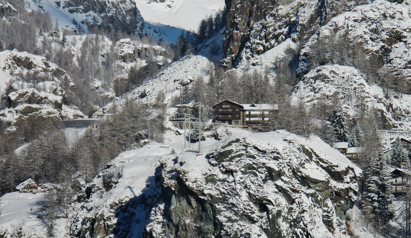
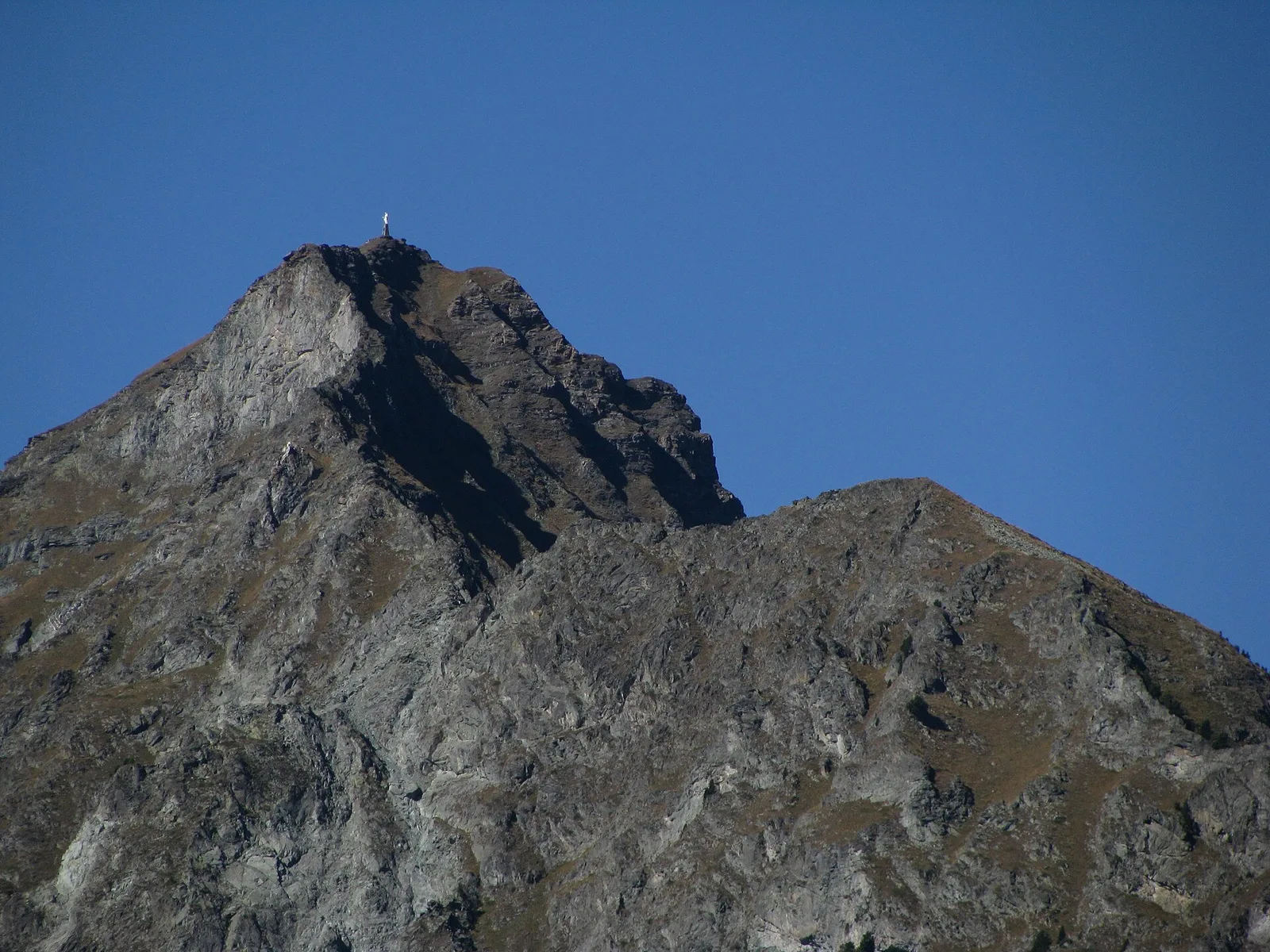
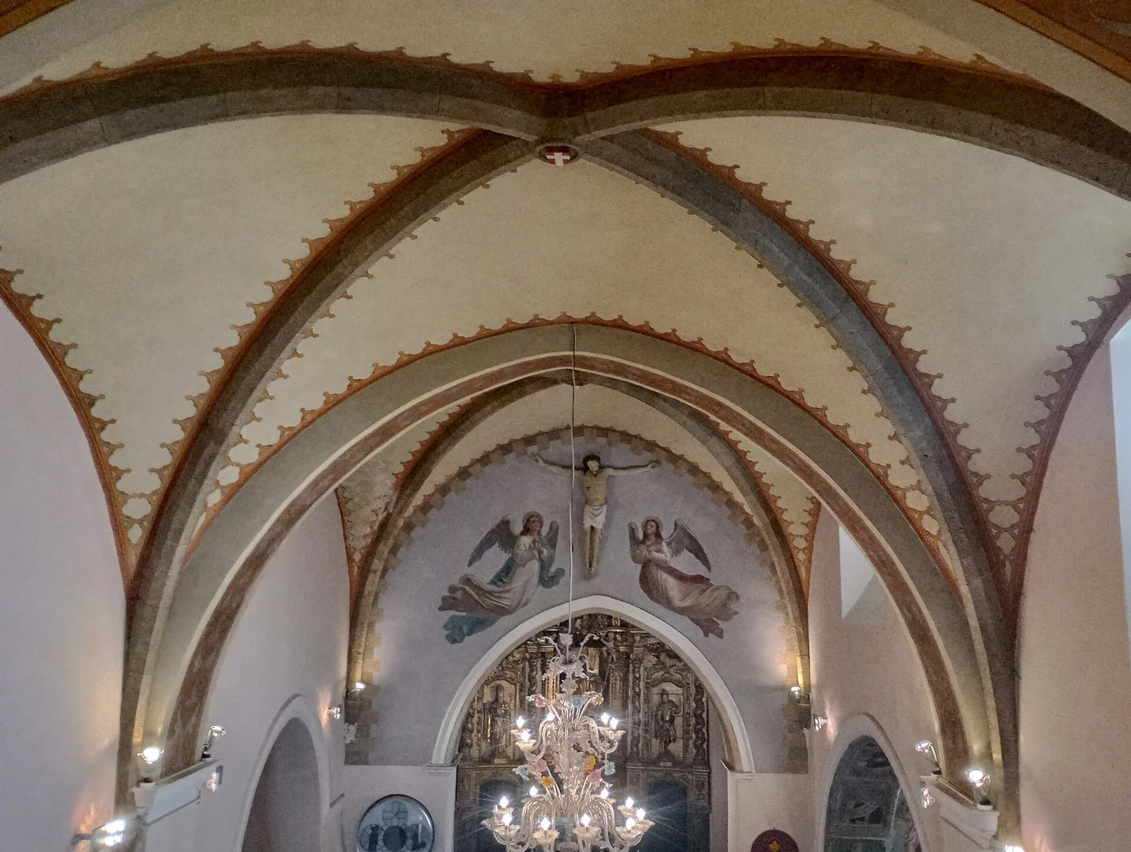
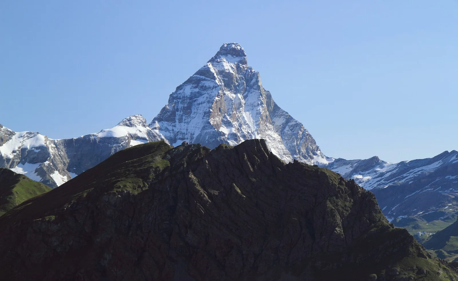
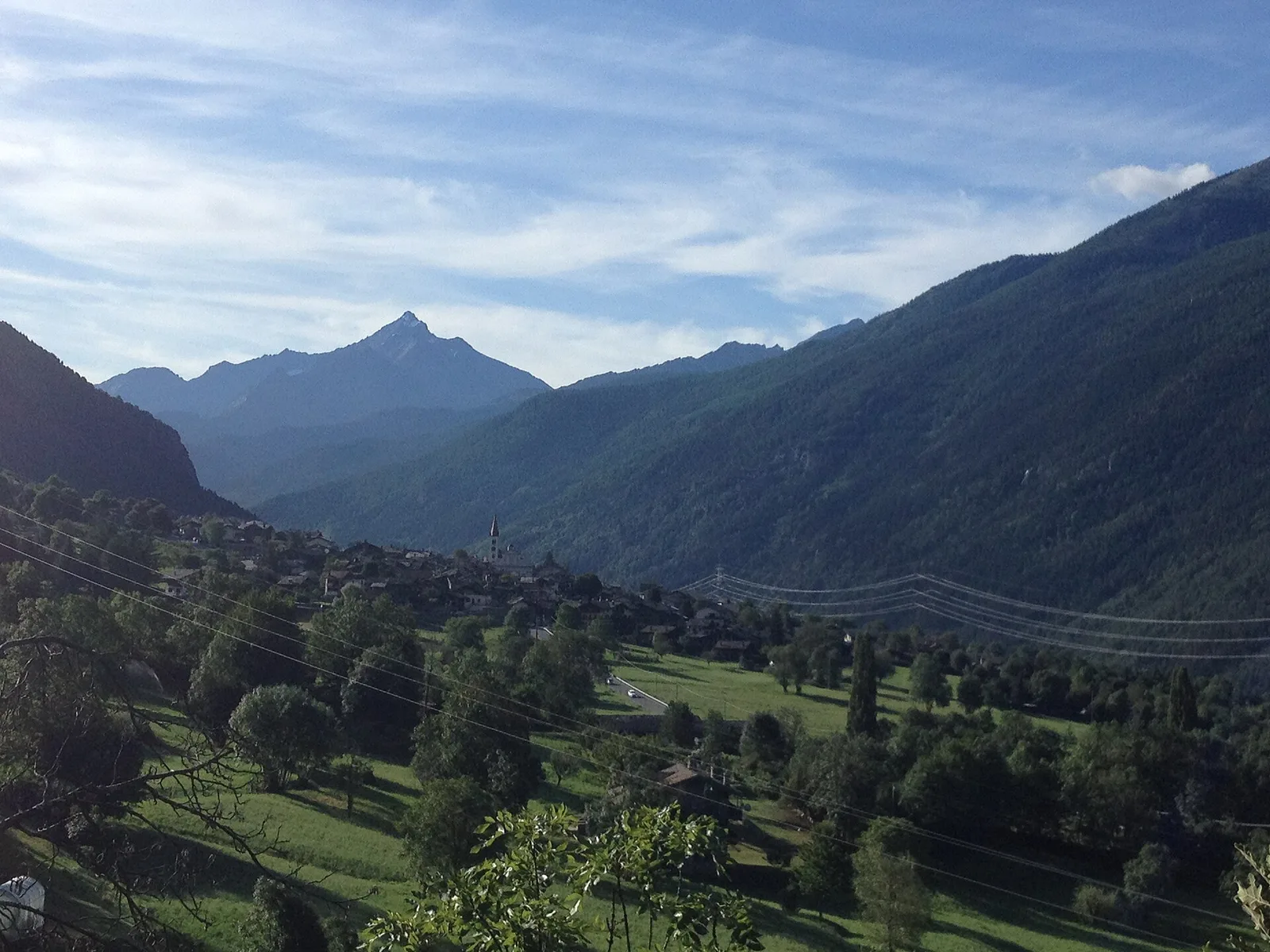
Valtournenche
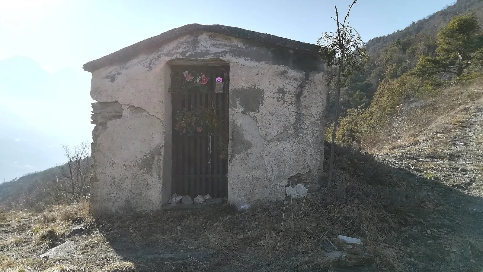
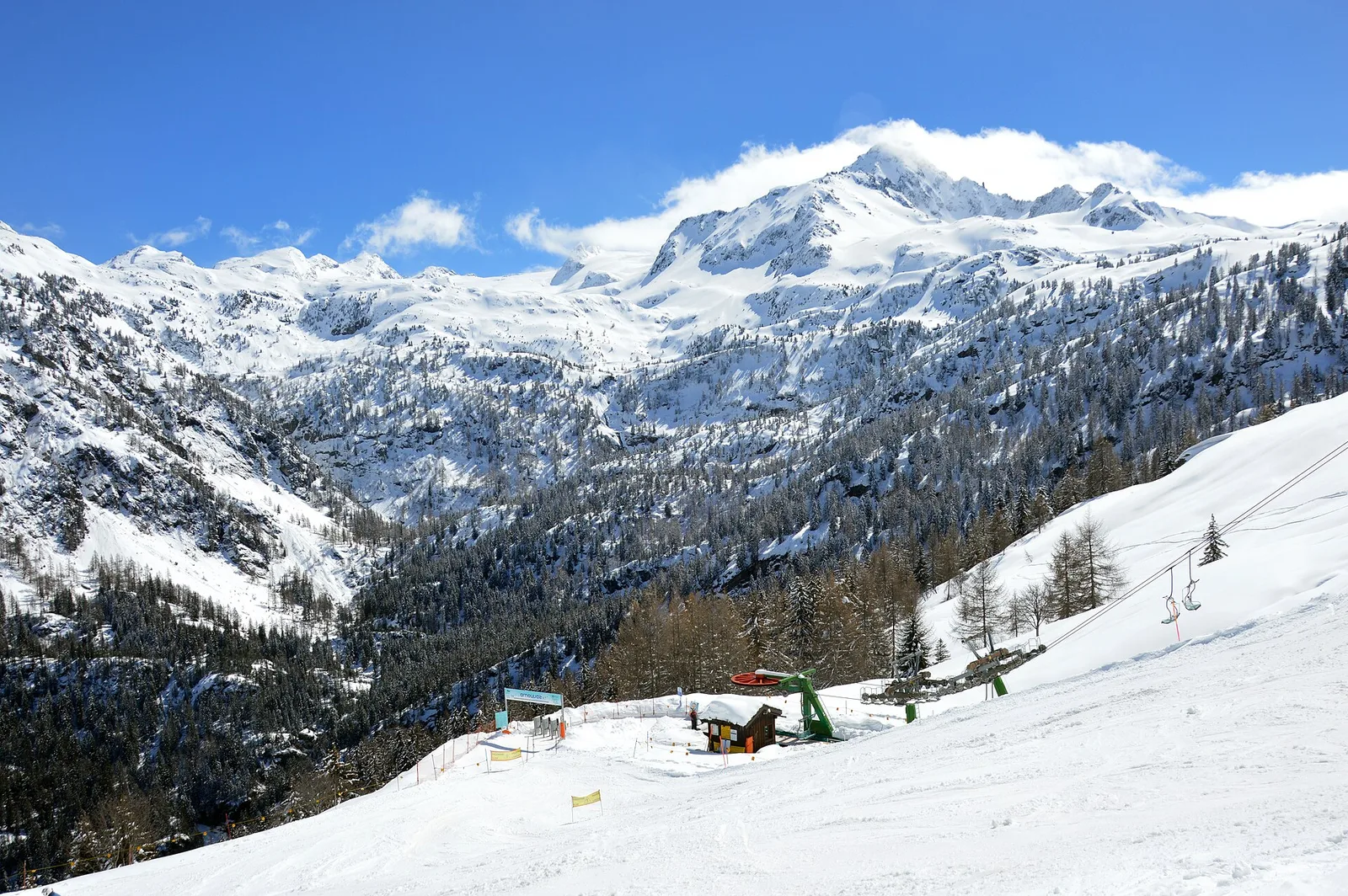
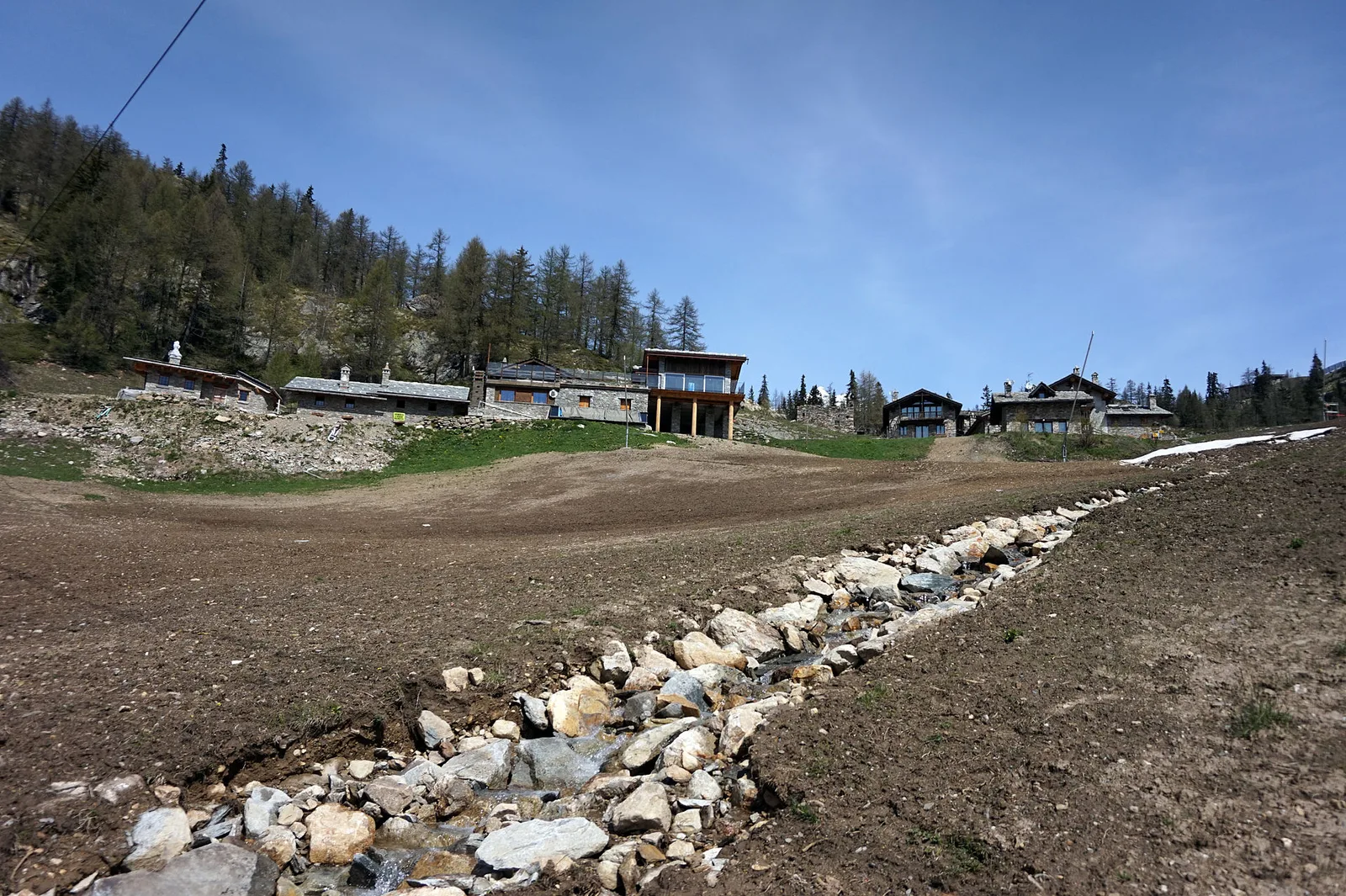
Anello Area sportiva-Fiernaz-Area sportiva
2.9 km · +28 m · T — from Area sportiva to Area sportiva (Valtournenche).
2.9 km+28 m1 h
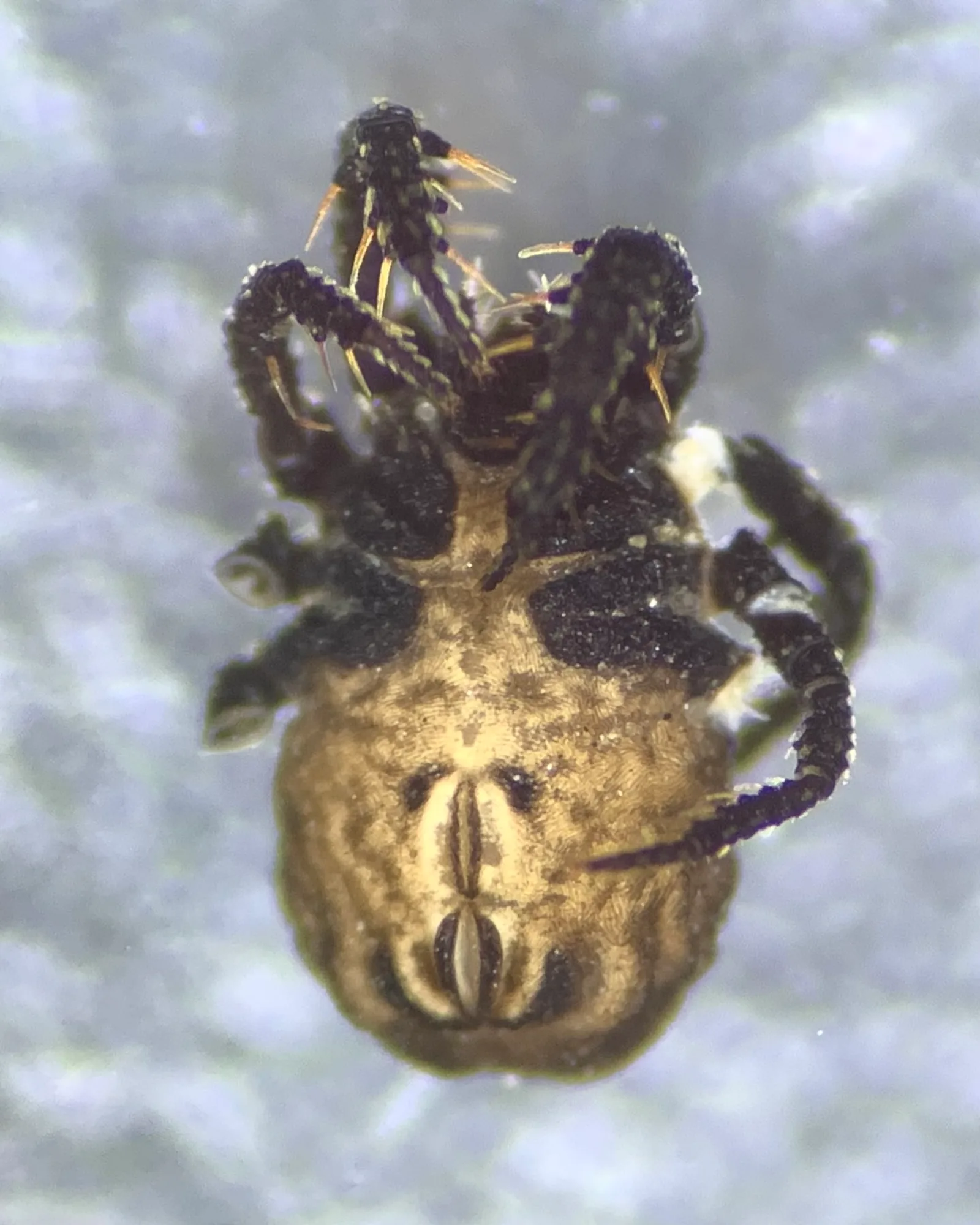
Where to spot
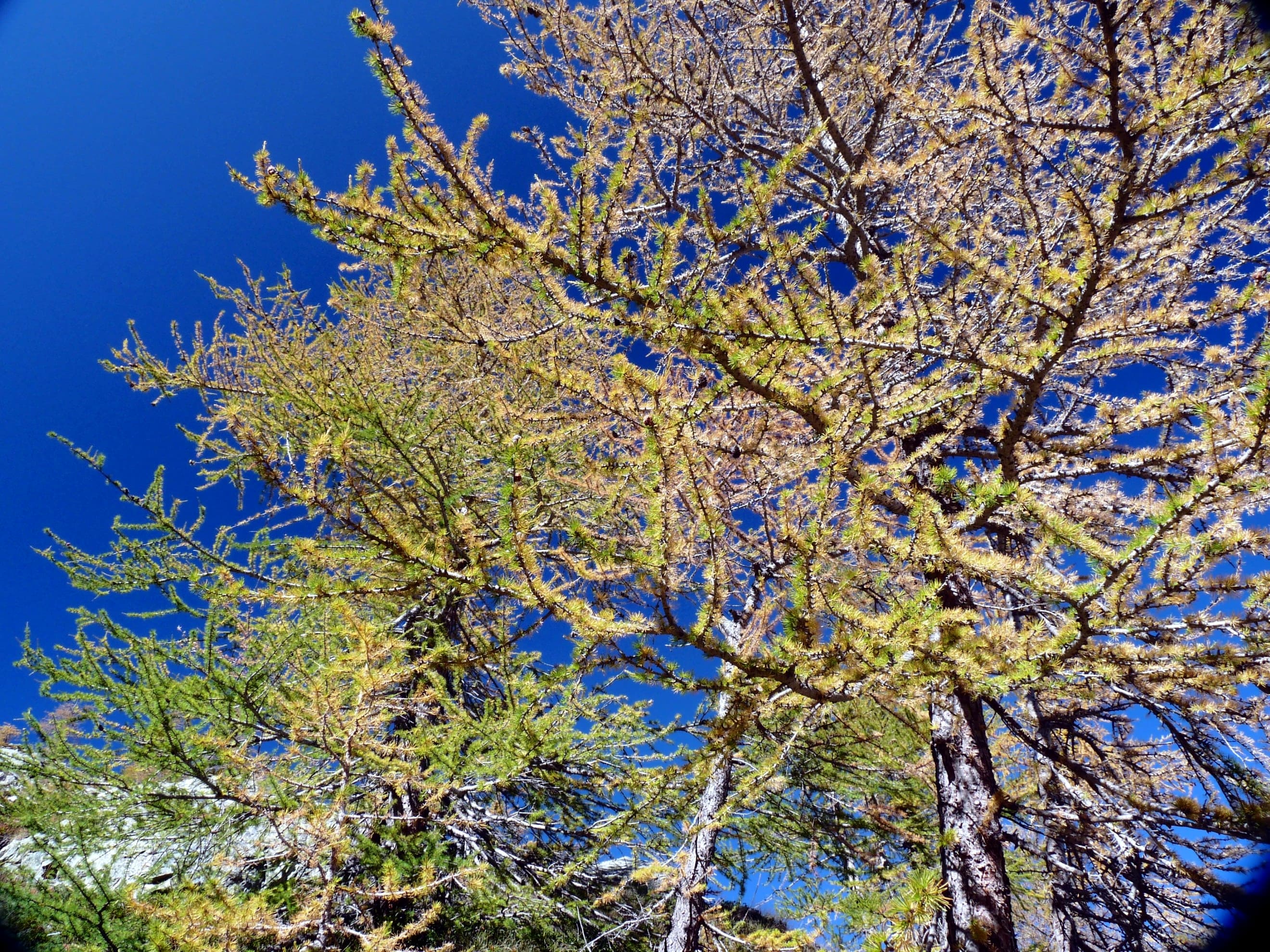
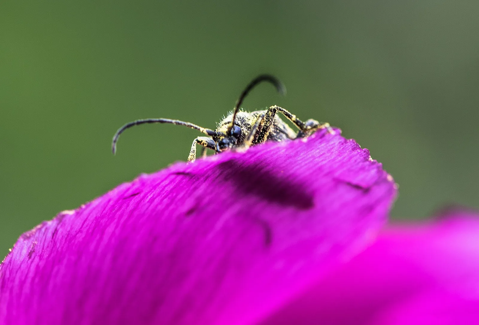
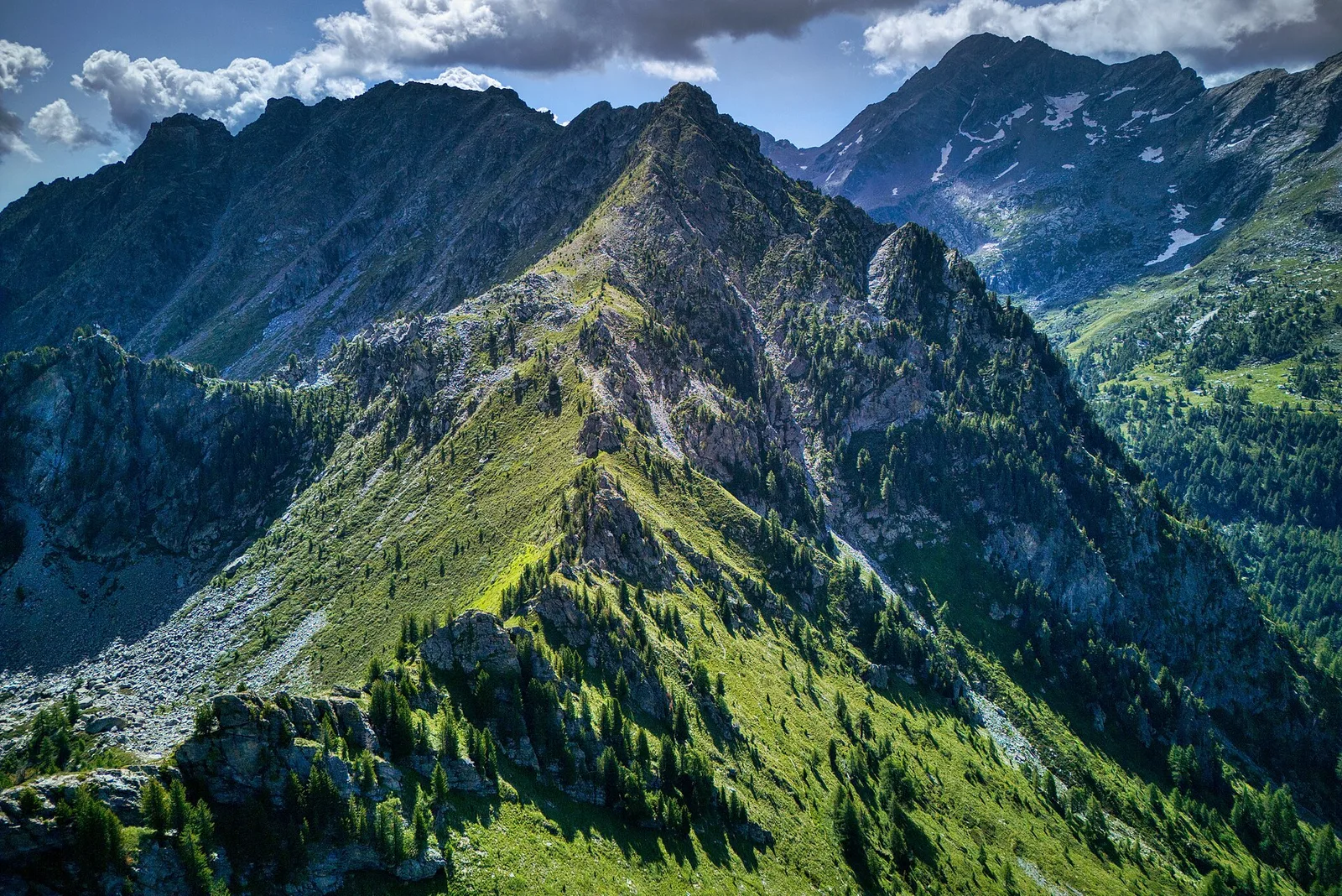
60 trails where Fireweed is listed in flora/fauna: difficulty T–EE, elevation gain 0–1722 m.
60 · 0.5–17.4 km · +0–1722 m
Valtournenche
2.9 km · +28 m · T — from Area sportiva to Area sportiva (Valtournenche).

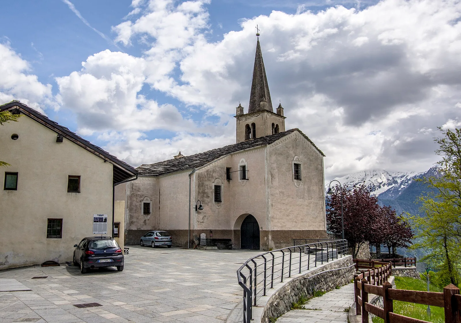
Valtournenche
A loop through the sunlit hamlets of Antey and Torgnon: traditional Aosta Valley architecture, vineyards and mid-mountain forest, 5.2 km from Ruvère.
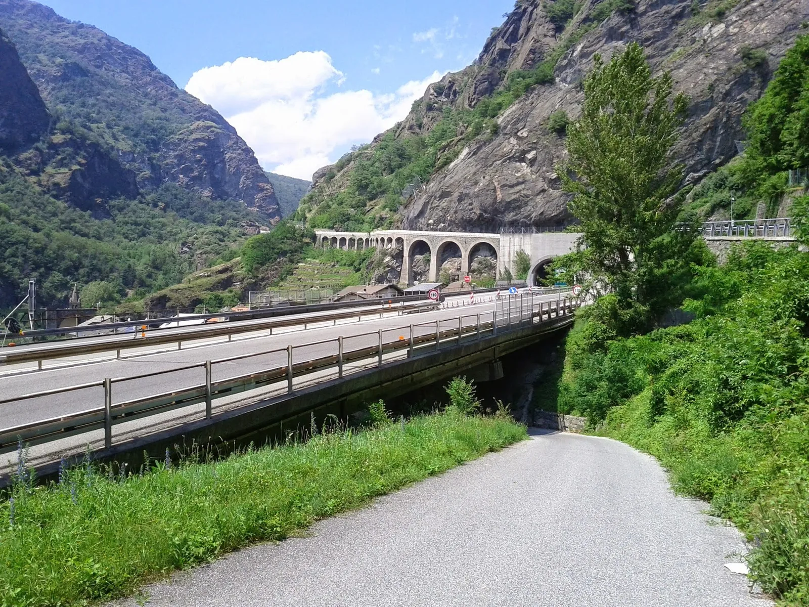
Valle centrale
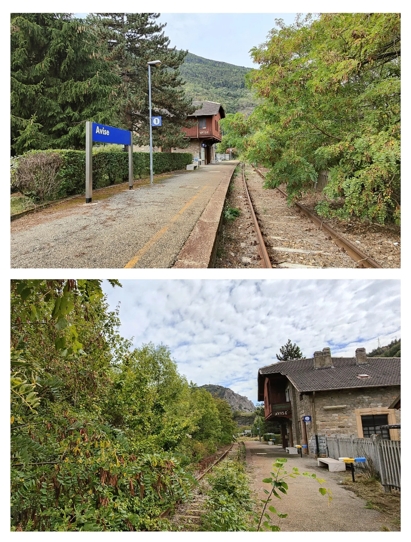
2.6 km · +491 m · E — from Avise to Charbonnière (Valdigne).
Valle centrale
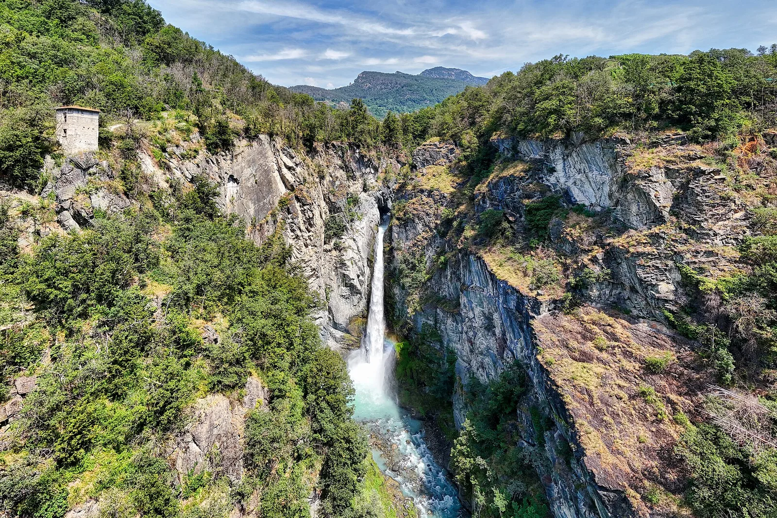
From Moulin to Pont d'Ael (885 m): a short walk to a 3 BC Roman aqueduct bridge, one of the finest preserved in the Alps.

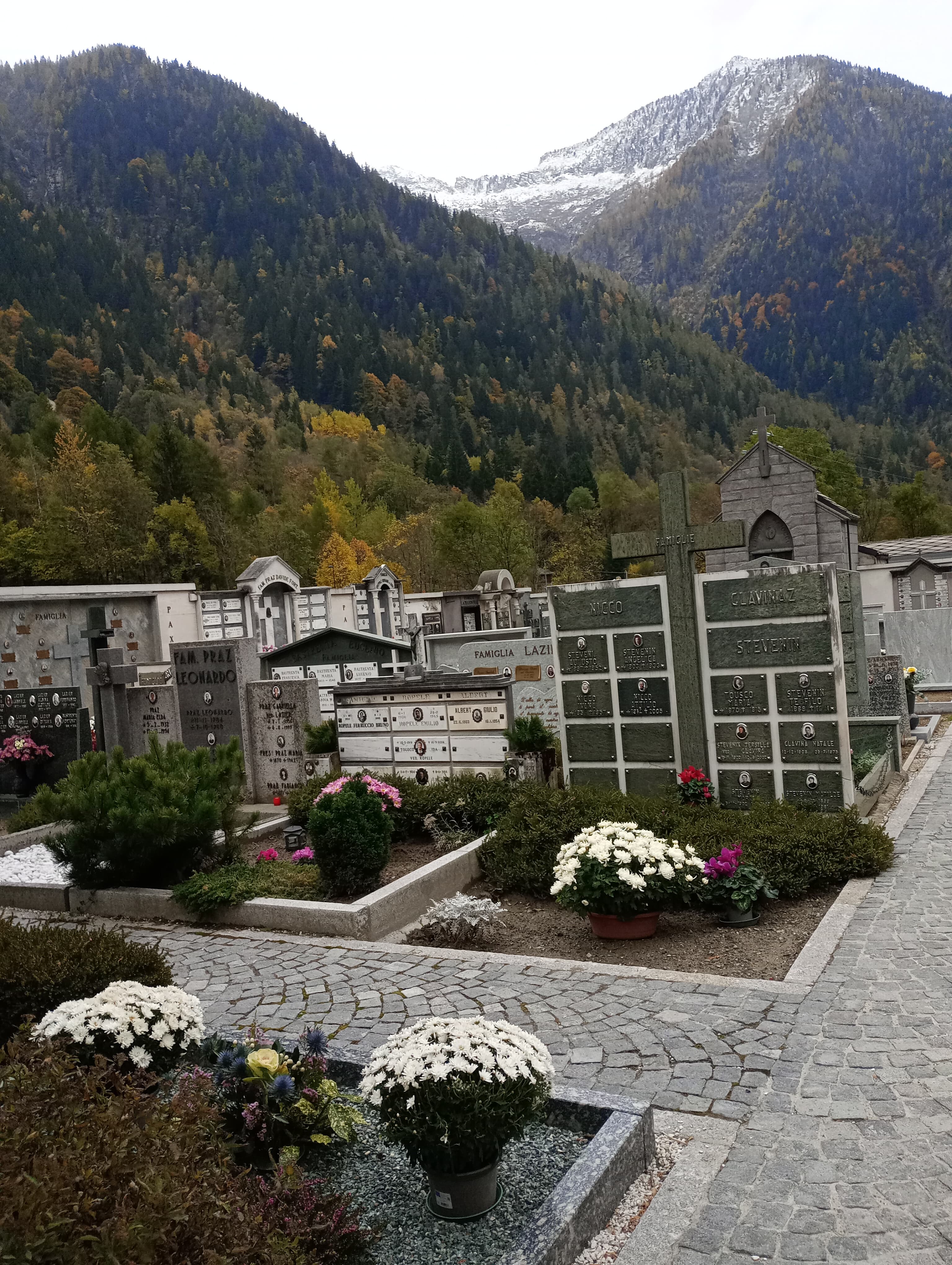
Bassa Valle
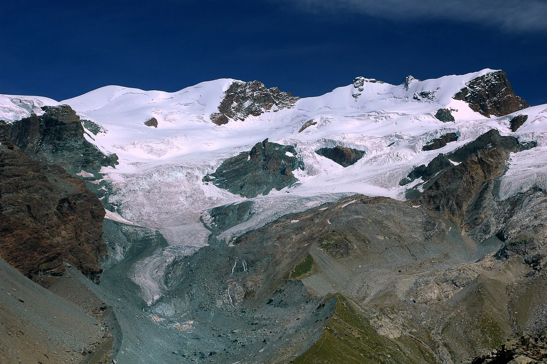
In the commune of Cogne, Gran Paradiso National Park: a climb toward a high-altitude objective in an environment of exceptional natural quality.

Bassa Valle
1.6 km · +397 m · E — from Barme to Carogne (Valtournenche).
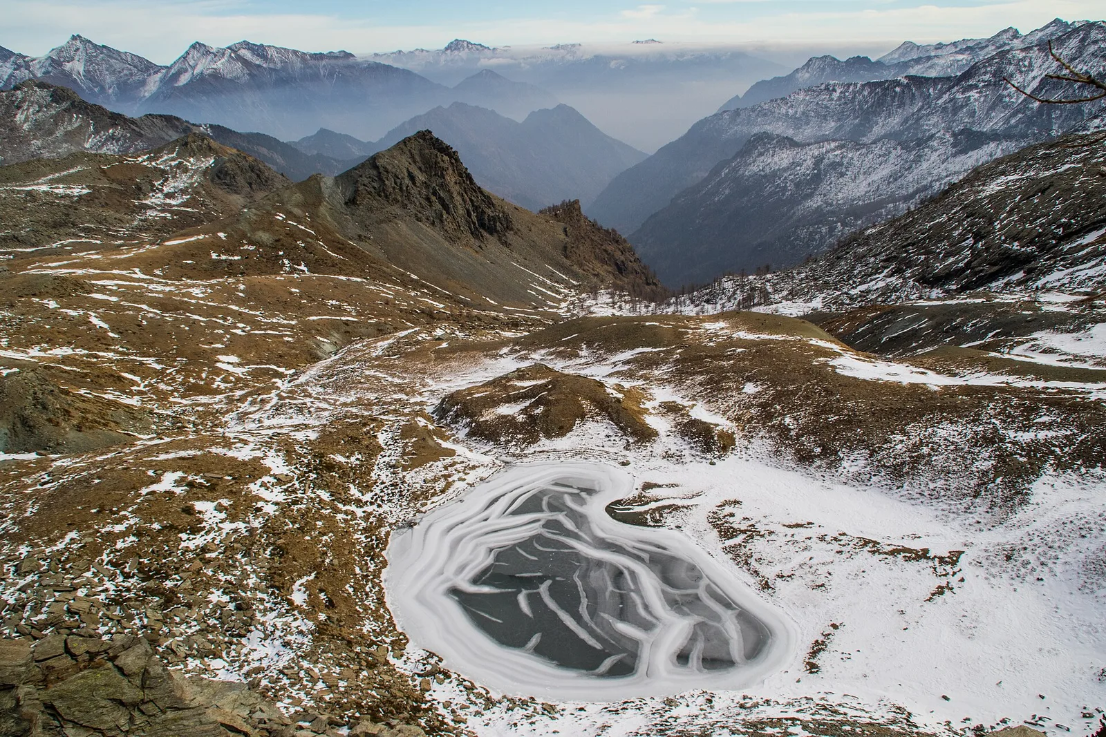
Valtournenche
1.6 km · +184 m · E — from Berzin to Masod (Valpelline).
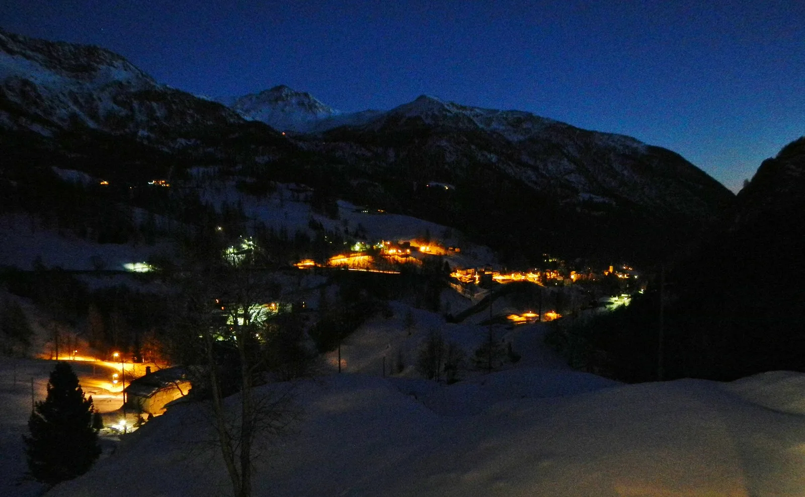
Valtournenche
2.8 km · +315 m · E — from Brengon (Cimitero de La Magdeleine) to Pilaz (Valdigne).
Valle di Champorcher
3.8 km · +903 m · E — from Castagnot to Colle d'Arcomy (Central Valley).
Valle centrale
2.6 km · +874 m · E — from Cerise to Bec Tolomon (Lys Valley).
Valle centrale
9.8 km · +1097 m · E — from Champex to Arp (Rhêmes Valley).
Val di Cogne
2.8 km · +391 m · E — from Champlong to Montroz (Lys Valley).
Val d'Ayas
1.6 km · +255 m · E — from Champoluc to Cascata Mascognaz (Central Valley).
Val di Rhêmes
1.8 km · +74 m · T — from Chanavey to Bruil, Foyer de Fond (Great St Bernard Valley).
Valle centrale
1.2 km · +181 m · E — from Charvensod to Sainte-Colombe (Cogne Valley).
Valle centrale
1.5 km · +89 m · T — from Chenière to Moulin (Lys Valley).
Valle centrale
4.7 km · +821 m · E — from Cort to Charrère (Valsavarenche).
Valtournenche
1.5 km · +286 m · E — from Parcheggio ovovia ( Crepin) to Liortère (Central Valley).
Val d'Ayas
2.9 km · +0 m · E — from Erésaz to Abay (Great St Bernard Valley).
Valle centrale
3.5 km · +774 m · E — from Etavel to Combelin (Central Valley).

Valle centrale
1.4 km · +164 m · E — from Feilley to Moron (Valtournenche).
Bassa Valle
4.5 km · +938 m · E — from Fey to Croix Corma (Central Valley).
Val d'Ayas
4.4 km · +110 m · T — from Col di Joux to Col Tzecore (Valtournenche).
Val Ferret
1.6 km · +332 m · E — from La Remisa to Rif . Bonatti (Great St Bernard Valley).
Valle centrale
3.3 km · +259 m · T — from Liarey to Chabodey (La Salle) (Central Valley).
Val d'Ayas
In the Val d'Ayas, commune of Ayas: a steady E-rated climb toward a high-altitude objective on well-marked terrain.
Valle centrale
2.1 km · +261 m · E — from Liveroulaz to Fossaz (Central Valley).
Bassa Valle
7.6 km · +1544 m · E — from Lo Pian to Arvueil (Central Valley).
Valtournenche
2 km · +449 m · E — from Loz (parcheggio) to Alpe Mandaz Inferiore (Central Valley).
Valle del Gran San Bernardo
0.9 km · +39 m · E — from Chez-Percher to Cau (Central Valley).
Valle di Champorcher
5 km · +865 m · EE — from Maison Blanche to Praz Premier (Lys Valley).
Valle di Champorcher
5.2 km · +796 m · E — from Outre l'Eve to Alpe Chenessy (Valtournenche).
Bassa Valle
5.8 km · +1334 m · EE — from Outrefer to Mognissola (Valtournenche).
La Thuile
4.5 km · +643 m · E — from Parcheggio Area camper to Souches (Lys Valley).
Valle di Champorcher
1.4 km · +381 m · EE — from Petit-Rosier to Col de Poussauel (Valtournenche).
Valle del Lys
0.6 km · +266 m · E — from Issime (parco giochi) to Pirubeck (Ayas Valley).
Valle centrale
3.6 km · +228 m · E — from Plan d'Introd to Moulin de Tache (innesto sentiero 6) (Lys Valley).
Val Veny
1.9 km · +450 m · E — from Plan Ponquet to Col Checrouit (Great St Bernard Valley).
Bassa Valle
9 km · +1546 m · E — from Pramotton to Alpe Bonze (Valtournenche).
Valtournenche
2.1 km · +506 m · E — from Praz to La Fenetre (Valpelline).
Valle del Gran San Bernardo
2.2 km · +0 m · E — from Prenoud to Ponte Artanavaz (Great St Bernard Valley).
Valle del Lys
6.6 km · +1335 m · E — from Quinçod to Merendiou (Ayas Valley).
Valgrisenche
In the Valgrisenche the route climbs through forest and meadows toward upper pastures: an E-rated itinerary in the commune of Arvier.
Valle centrale
4.7 km · +0 m · T — from Confine comunale Aosta to Confine comunale Quart (Central Valley).
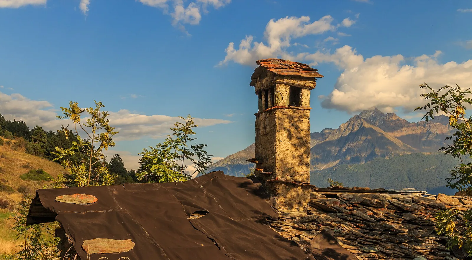
Valle centrale
In the Valdigne, La Salle: an E/EE-rated climb toward upper slope zones with views of Mont Blanc.
Valle centrale
3.1 km · +442 m · E — from Saint-Denis to Del (Central Valley).
Valle centrale
5.5 km · +663 m · E — from Seissogne to Innesto S12 (Great St Bernard Valley).
Valle del Lys
13.1 km · +0 m · E — from Baite di David to Lysbalma (Champorcher Valley).
Valle di Champorcher
6.4 km · +967 m · E — from Strada Dondena to Parcheggio Dondena (Valtournenche).
Valle del Lys
In the commune of Brusson, Val d'Ayas: a route among hamlets and alpine pastures on the sunny slope with valley views.
Valle del Lys
3.5 km · +723 m · E — from Strada per Tschalvrino to Col Ranzola (Champorcher Valley).
Valpelline
12.1 km · +1236 m · E — from Les Sergnoux to Rey (Lys Valley).

Val d'Ayas
3.2 km · +288 m · E — from Tilly to Mayn (Ayas Valley).
Valpelline
3.8 km · +78 m · E — from Rey to Chatellair-Dessus (Valpelline).
Valtournenche
17.4 km · +680 m · T — from Plan Porion to Plan Porion (Valpelline).
Valle del Lys
6.8 km · +1156 m · E — from Tzendelabò to Colle della Vecchia (Great St Bernard Valley).
Valpelline
3.3 km · +419 m · E — from Valpelline capoluogo to Capoluogo (Valtournenche).
Valle di Champorcher
5.2 km · +1722 m · E — from Varesa to Chavanna (Champorcher Valley).
Valle centrale
1.4 km · +174 m · E — from Villair to Château de Châtelard (Central Valley).
Val d'Ayas
0.5 km · +86 m · E — from — to — (Ayas Valley).