E
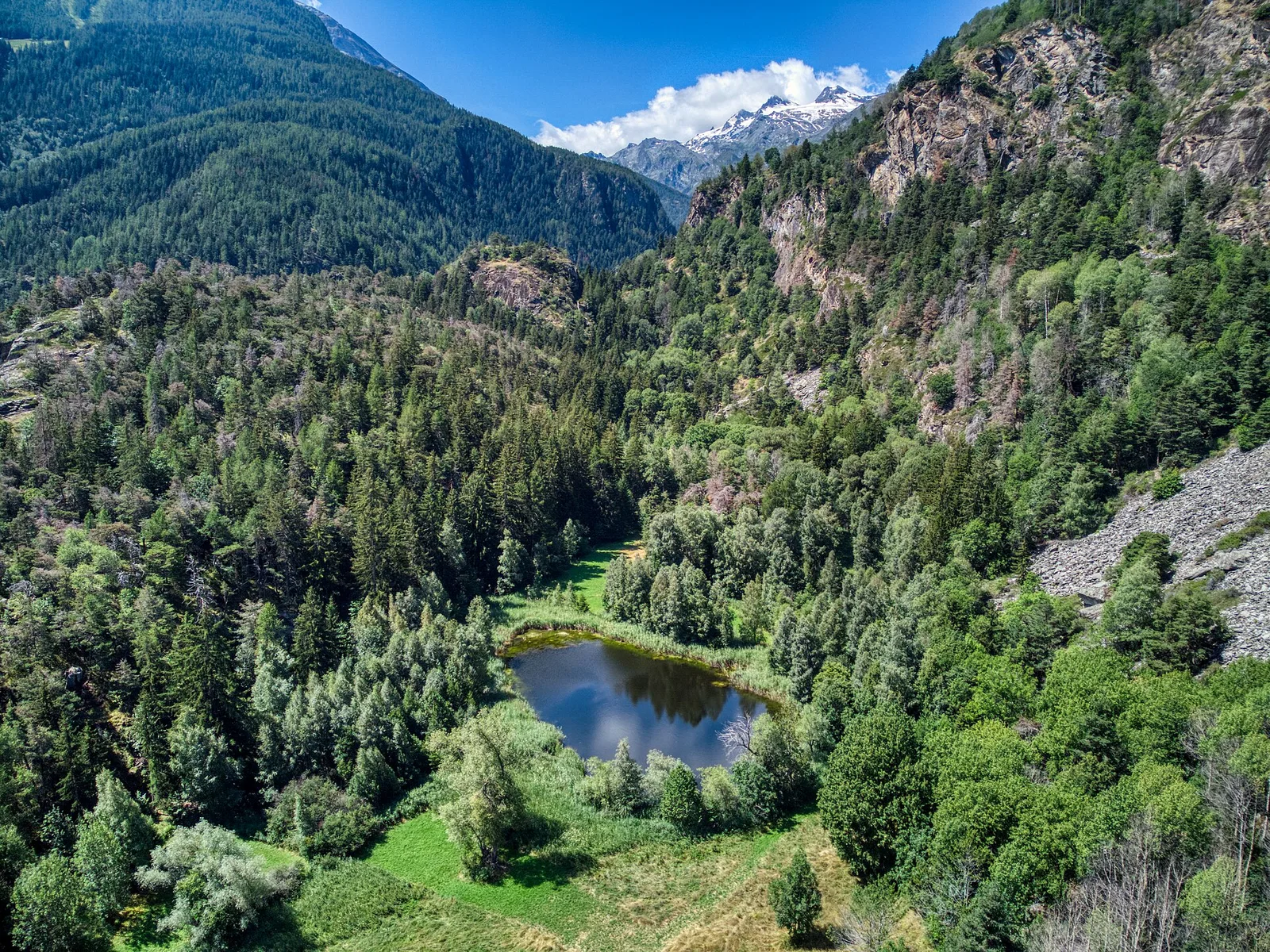
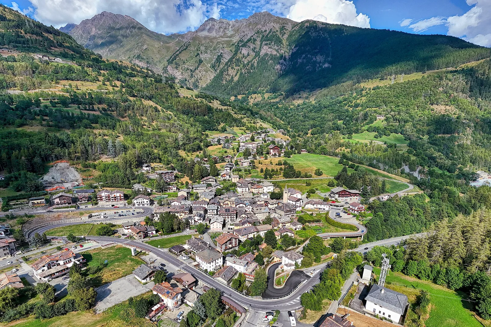
Valle centrale
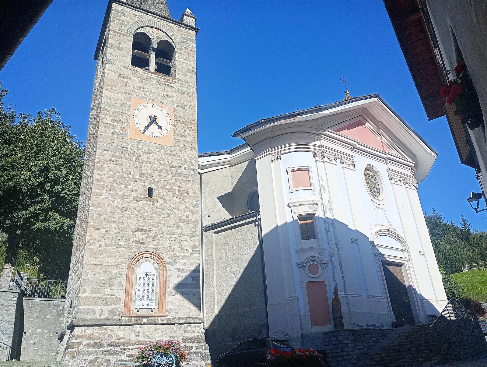
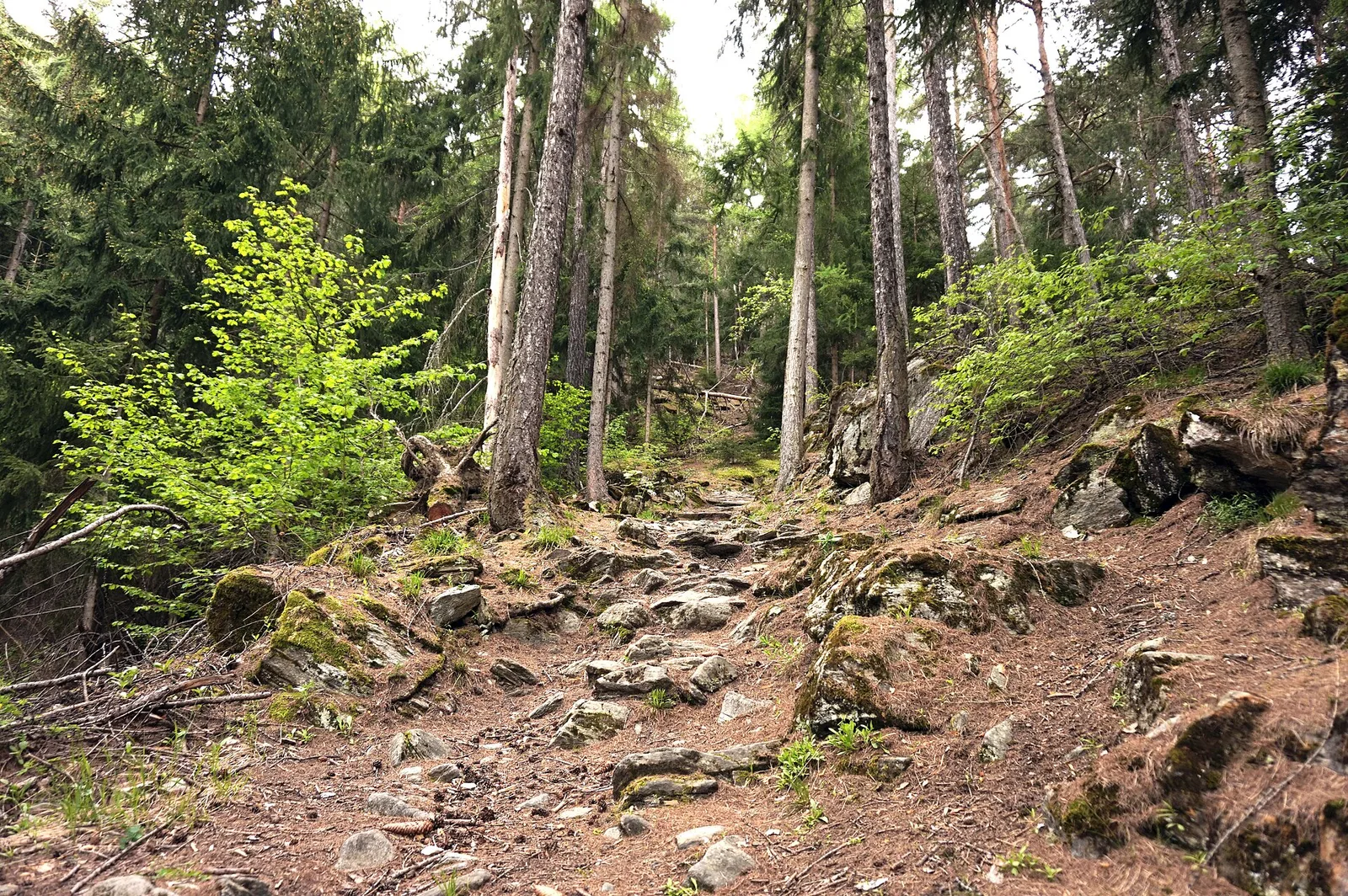
Baulin - Mont Colombo
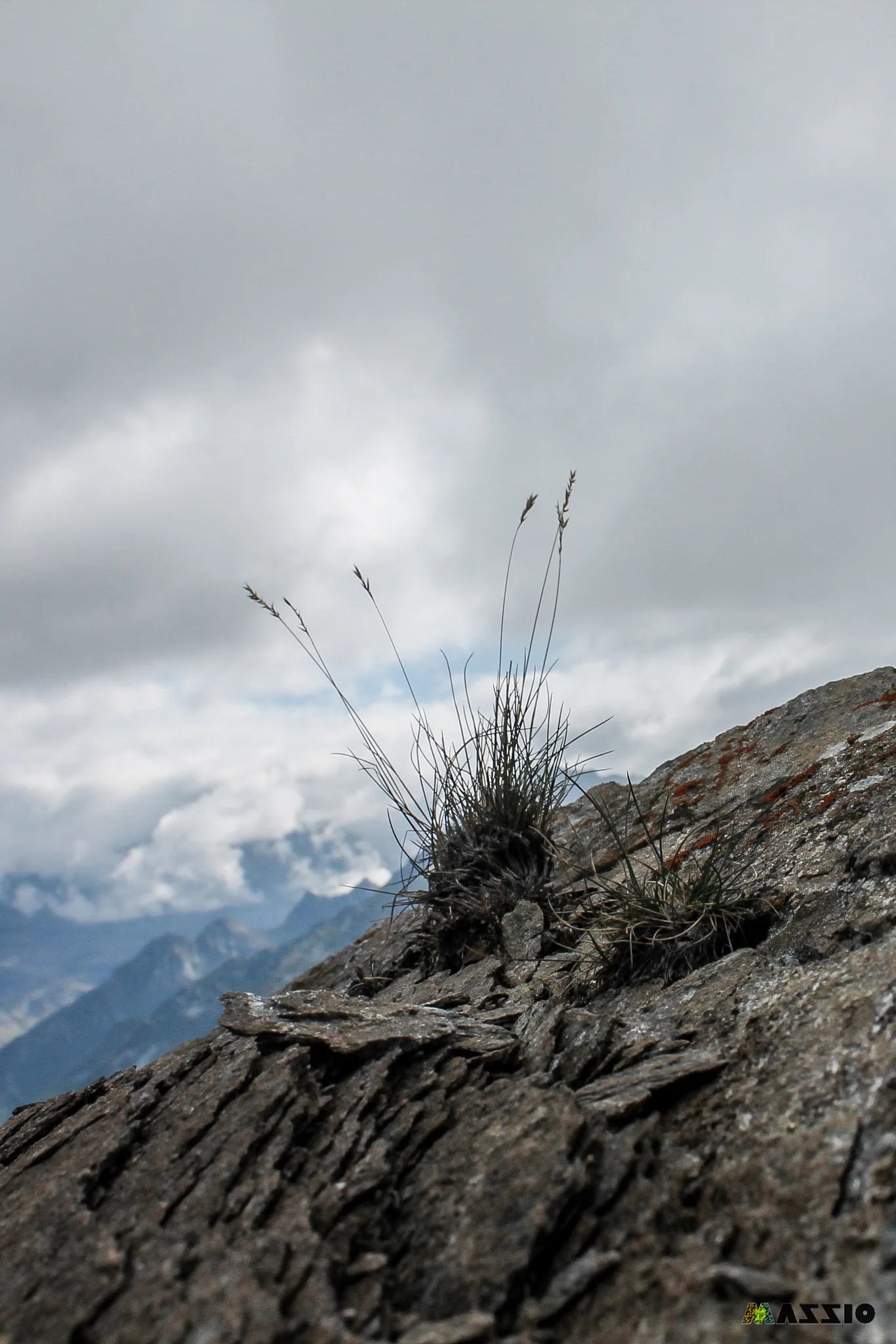
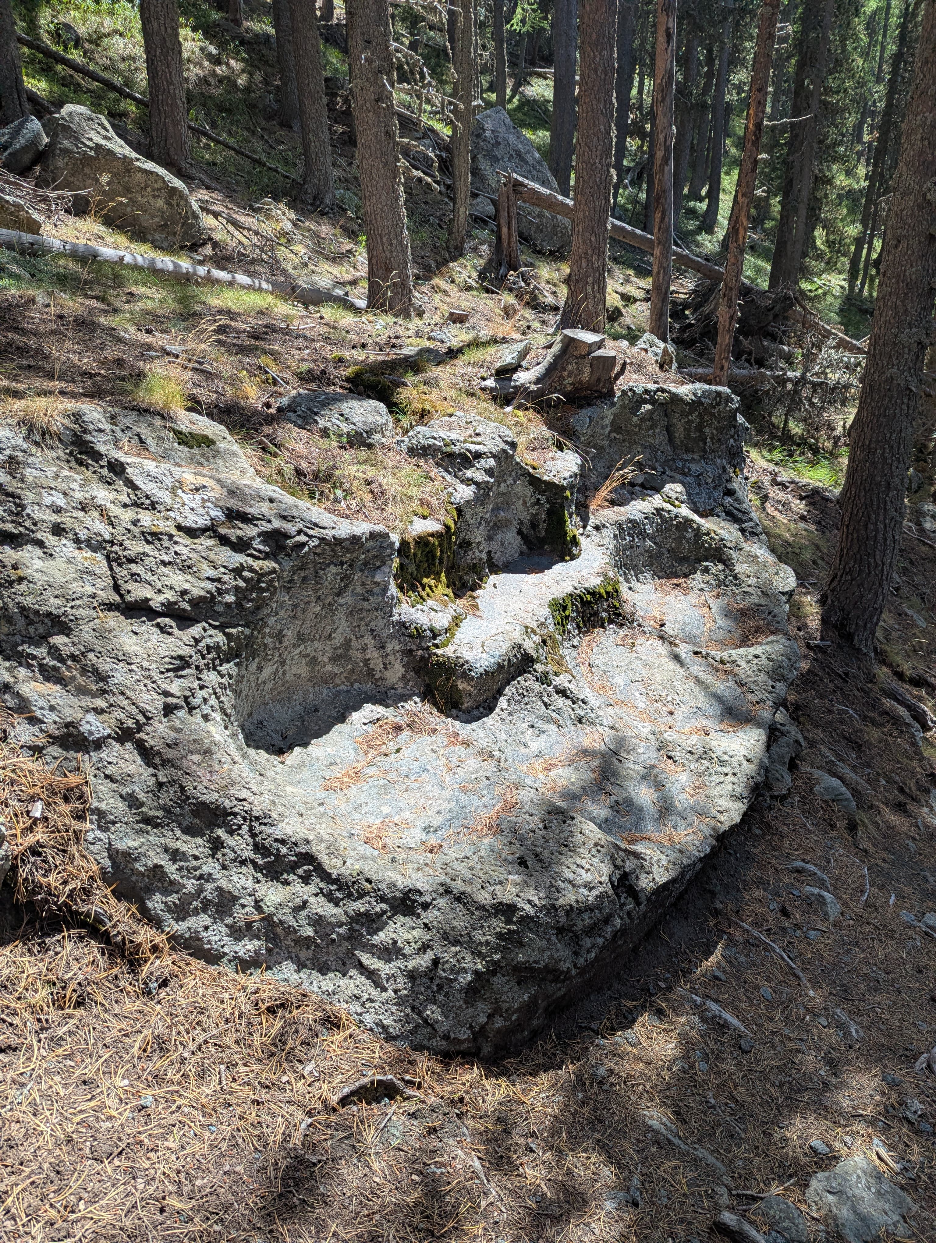
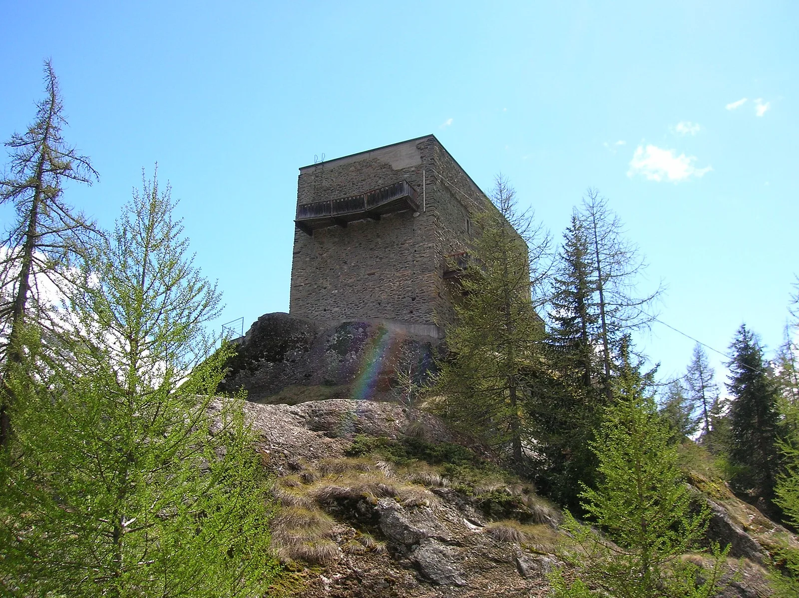
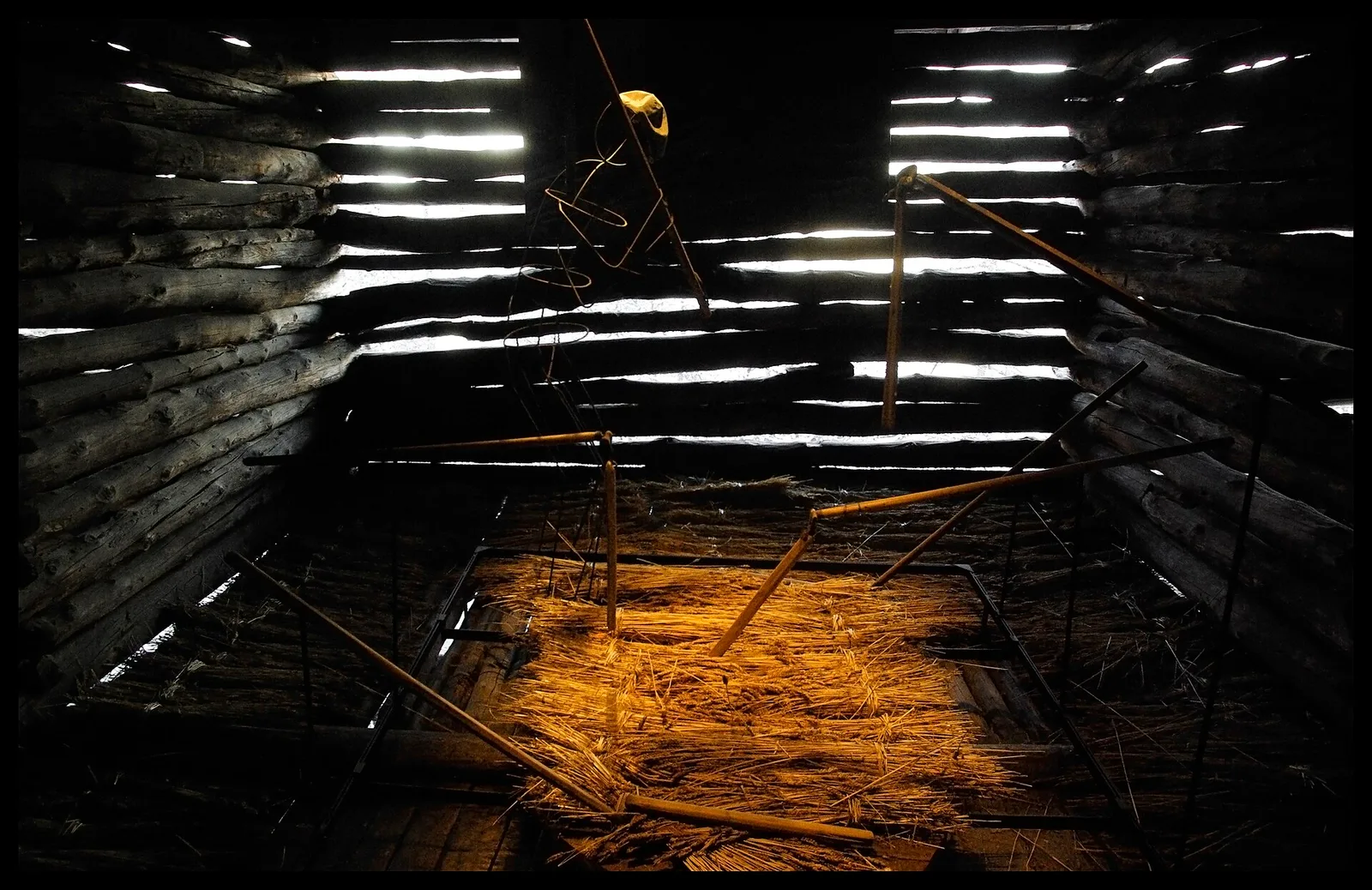
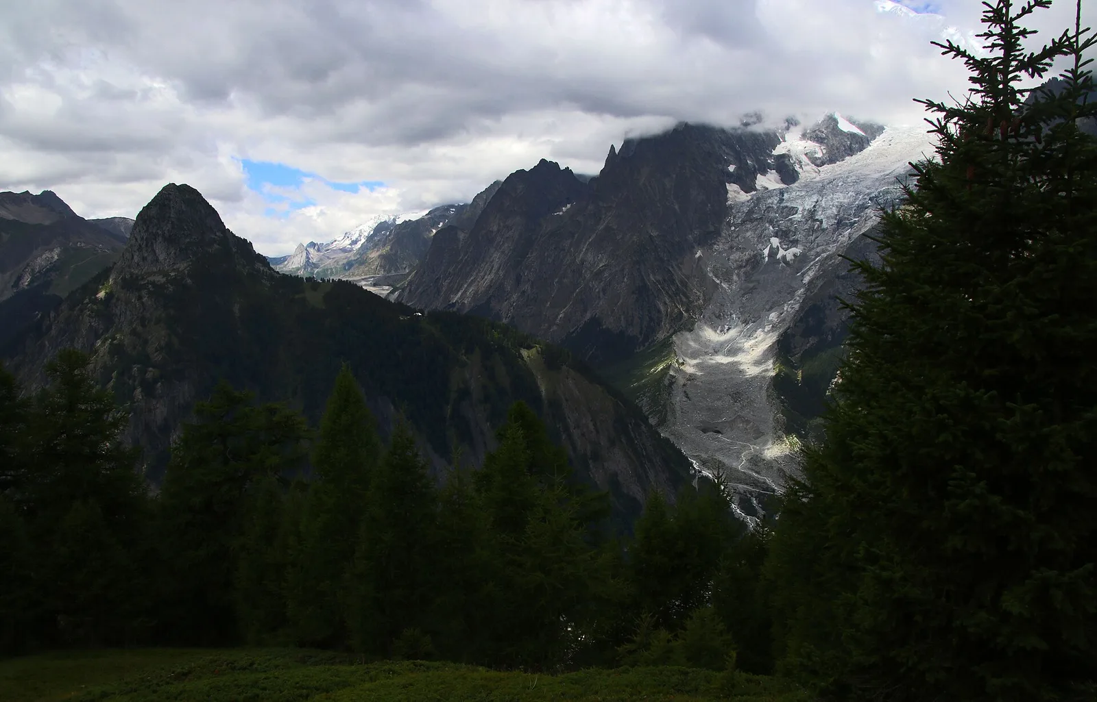
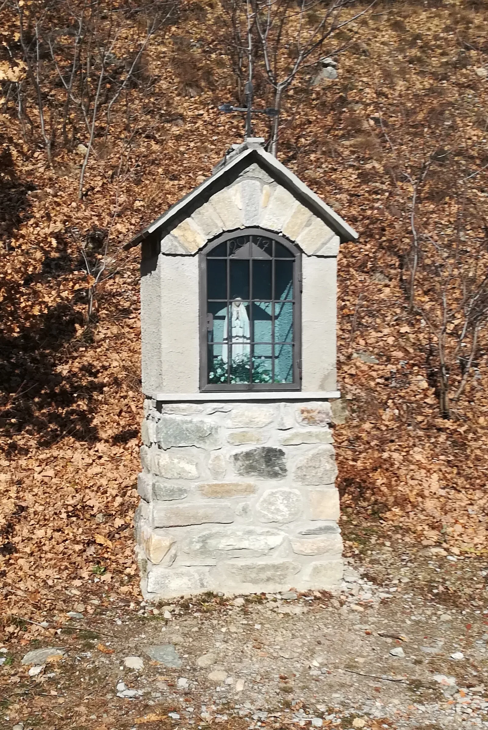
A short, gentle climb from Baulin to Mont Colombo, a modest wooded rise with a view over the central valley, above Avise.
2 km+262 m1 h
Where to spot
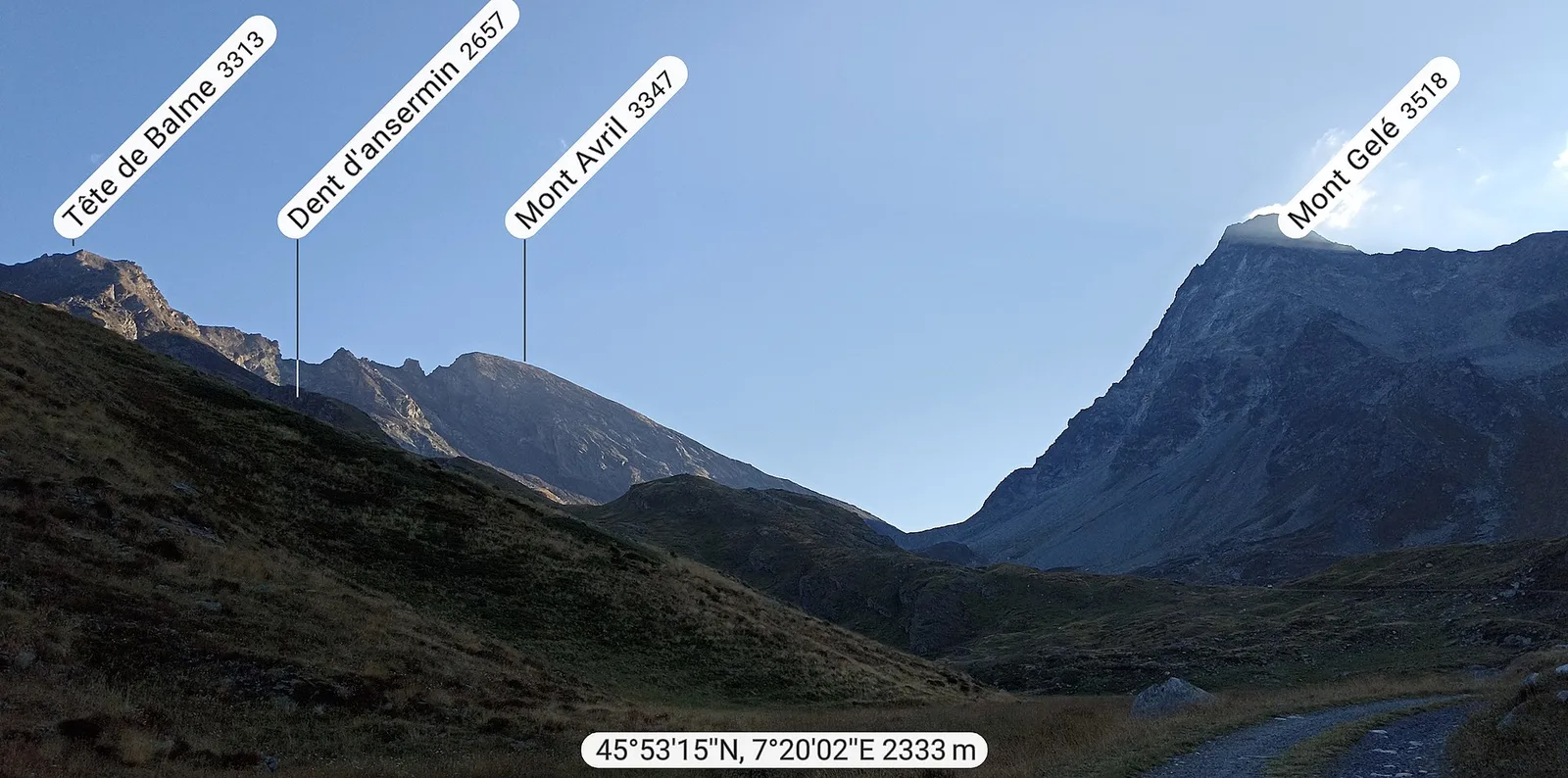
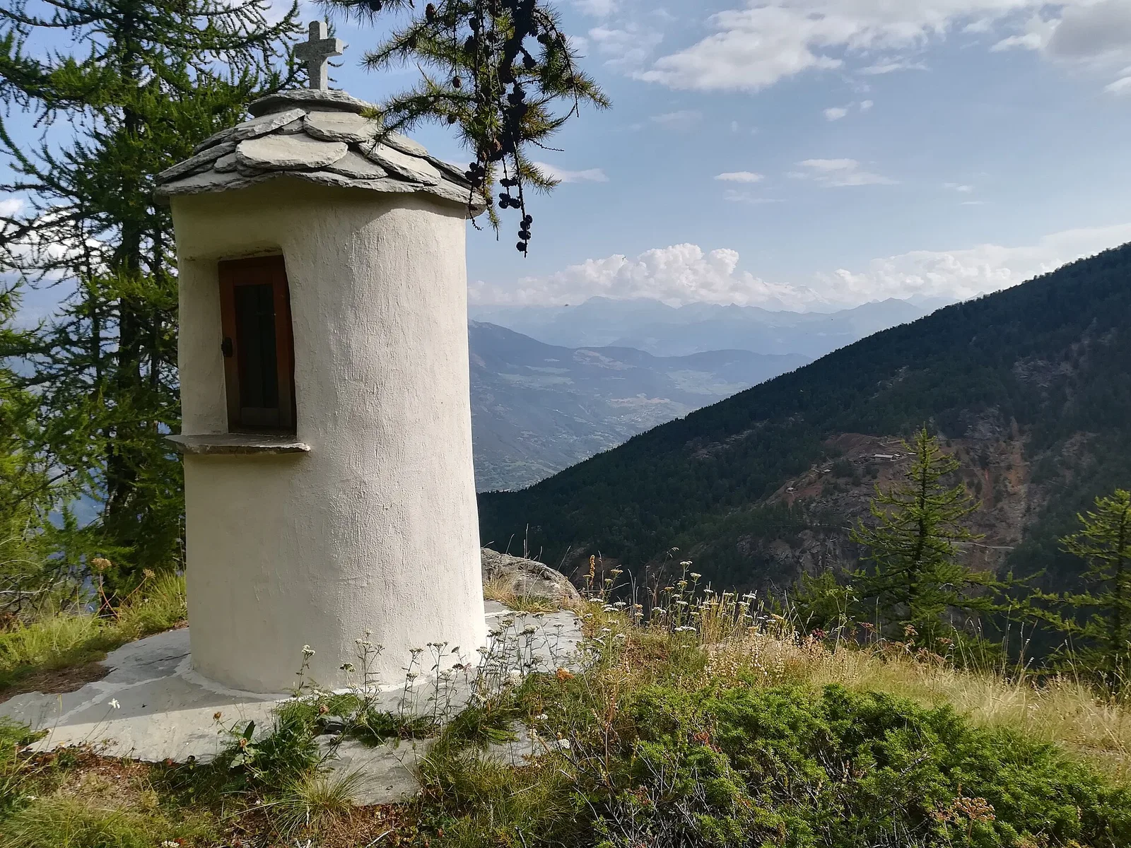
40 trails where Alpine willowherb is listed in flora/fauna: difficulty T–EE, elevation gain 0–1676 m.
40 · 0.4–17.2 km · +0–1676 m
Valle centrale
A short, gentle climb from Baulin to Mont Colombo, a modest wooded rise with a view over the central valley, above Avise.
Val di Cogne
3.5 km descent from Bivacco Gontier (2266m) to Arpissonnet PNGP shelter (1996m): connector trail in Gran Paradiso National Park, July–August.
Bassa Valle
6.1 km · +965 m · E — from Bourg to Verale (Valtournenche).
Valtournenche
2.6 km · +21 m · E — from N.D. to N.D. (Central Valley).
Val d'Ayas
In the commune of Brusson, Val d'Ayas: an accessible route among pastures and hamlets with panoramic views.

Valle di Champorcher
3.8 km · +903 m · E — from Castagnot to Colle d'Arcomy (Central Valley).
Valle centrale
4.5 km · +571 m · E — from Challancin to Col de Bard (La Thuile).
Val di Rhêmes
6.4 km · +210 m · E — from Chanavey to Thumel (Great St Bernard Valley).
Valle di Champorcher
6.6 km · +1044 m · E — from Chardonney to Cimetta Rossa (Valtournenche).
Valle centrale
6.8 km · +1427 m · E — from Cloutraz to Mont Barbeston (Valdigne).
Valle centrale
3.7 km · +418 m · E — from Combelin to Alpe Loe (Or) (Central Valley).
Valle centrale
1.8 km · +219 m · E — from Cossèi to Belvedere Tsan (Lys Valley).
Val d'Ayas
A gentle walk from Champoluc to Alpe Résy with sweeping views of the Monte Rosa massif — perfect for families and easy-going mountain walkers.

Valle del Gran San Bernardo
From Ville di Allein, an honest climb through pastures and larch woods to the Dortoir Baravex refuge at 1938 m, in the Great St Bernard valley.
Valle del Gran San Bernardo
4.6 km · +1164 m · E — from Etroubles to Grande Tête (Central Valley).
Valpelline
4.8 km · +1037 m · E — from Glacier to Bivacco Regondi (Valpelline).
Val Ferret
1.6 km · +332 m · E — from La Remisa to Rif . Bonatti (Great St Bernard Valley).
Valle centrale
5.9 km · +802 m · E — from Thouraz to Lago Fallère (Valgrisenche).
Valle centrale
5.8 km · +1201 m · E — from Pont Suaz to Ermitage de Saint-Grat (Cogne Valley).
Val di Cogne
10.8 km · +917 m · E — from Lillaz to Rifugio Sogno di Berdzé (AV 2) (Lys Valley).
Valpelline
0.5 km · +135 m · E — from Località Champette to innesto sentiero 6 A (Valtournenche).
Bassa Valle
3.9 km · +830 m · E — from Marine to Col Fênetre (Central Valley).
Valle centrale
2.4 km · +397 m · E — from Mont-Bardon to Miollex desot (Central Valley).
Valtournenche
2.3 km · +178 m · E — from Pâquier to Lago Loz (Central Valley).
Valle di Champorcher
2.6 km · +507 m · EE — from Petit-Rosier to Col d'Arcomy (Valtournenche).
Val di Cogne
5.3 km · +794 m · E — from Pila, Gorraz to Pointe du Drinc (Lys Valley).
Valgrisenche
In the Valgrisenche the route climbs through forest and meadows toward upper pastures: an E-rated itinerary in the commune of Arvier.
Valle del Gran San Bernardo
0.4 km · +24 m · E — from Saint-Oyen to Pallais dessus (Great St Bernard Valley).
Valle centrale
5.5 km · +663 m · E — from Seissogne to Innesto S12 (Great St Bernard Valley).
Valle centrale
6.6 km · +1413 m · EE — from Servettaz to Col de Bellalanaz (Lys Valley).
Valtournenche
2.7 km · +711 m · E — from Strada Comunale per Chantorné to Antecima Mont Méabé (Valpelline).
Valle del Lys
4.3 km · +155 m · T — from Bivio Villa Margherita to Start 9 (Champorcher Valley).
Val d'Ayas
2 km · +370 m · E — from Strada Regionale to Arbaz (Ayas Valley).
Valsavarenche
17.2 km · +1676 m · EE — from Eaux Rousses to Rifugio Sella (Ayas Valley).
Valle centrale
11.9 km · +0 m · E — from Rifugio Bonatti to Capoluogo (Great St Bernard Valley).
La Thuile
2.6 km · +97 m · E — from Thovex to Granges (Lys Valley).
Valle del Lys
6.8 km · +1156 m · E — from Tzendelabò to Colle della Vecchia (Great St Bernard Valley).
Valle di Champorcher
11.1 km · +1272 m · E — from Veulla to Gran lago (Central Valley).
Valle centrale
3.9 km · +713 m · E — from Veynes to Valtolanaz (Central Valley).
Val Veny
2.9 km · +151 m · E — from Lassy damon to Visaille (Great St Bernard Valley).