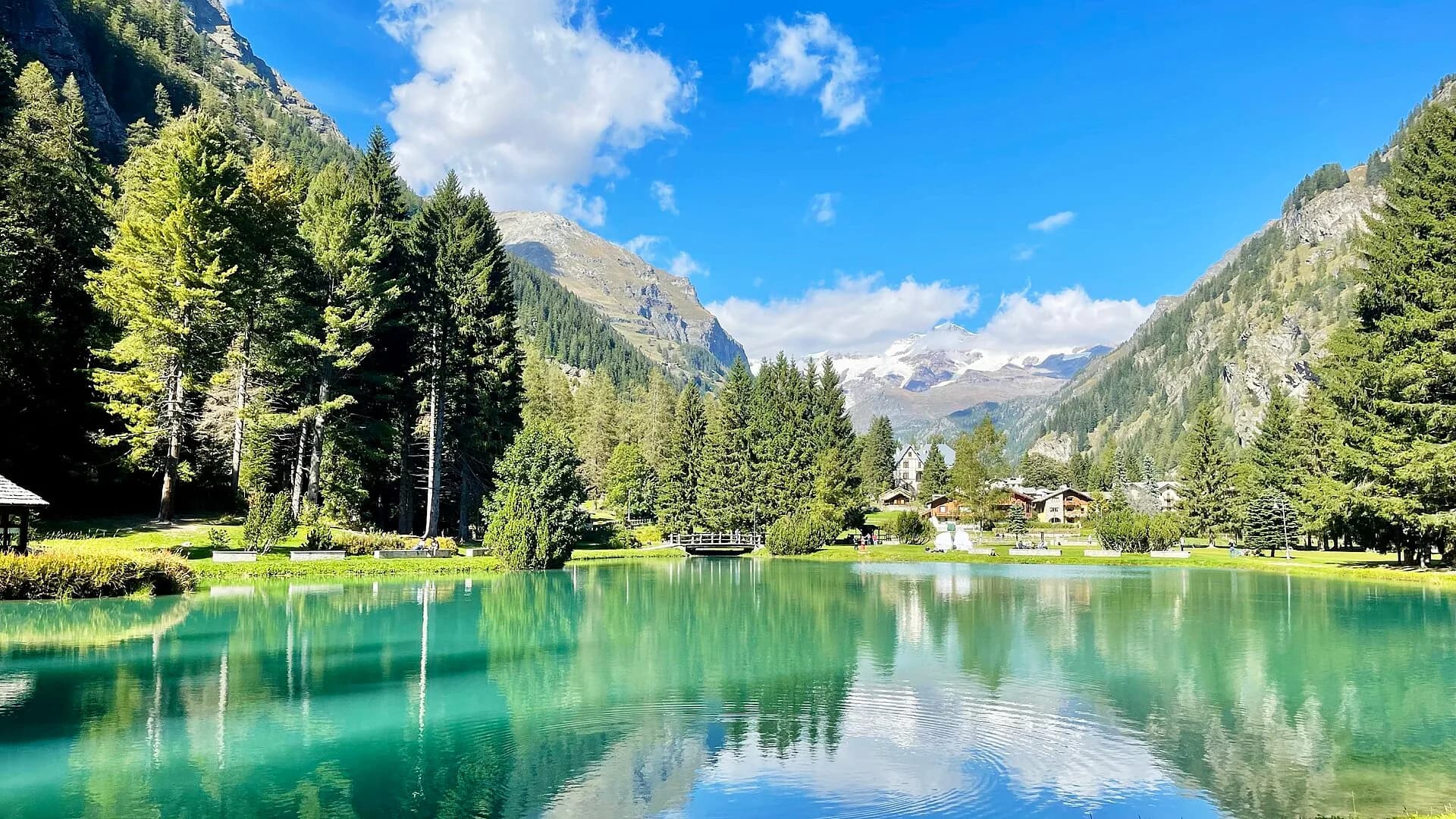
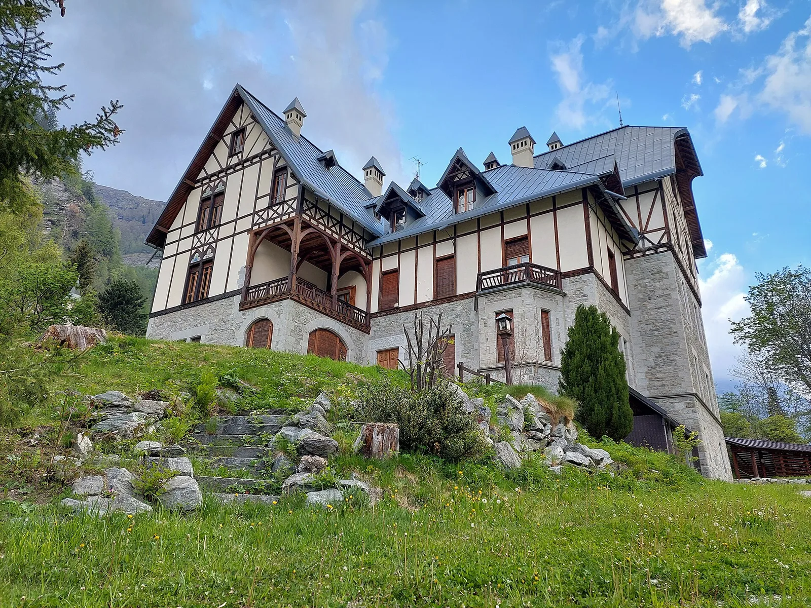
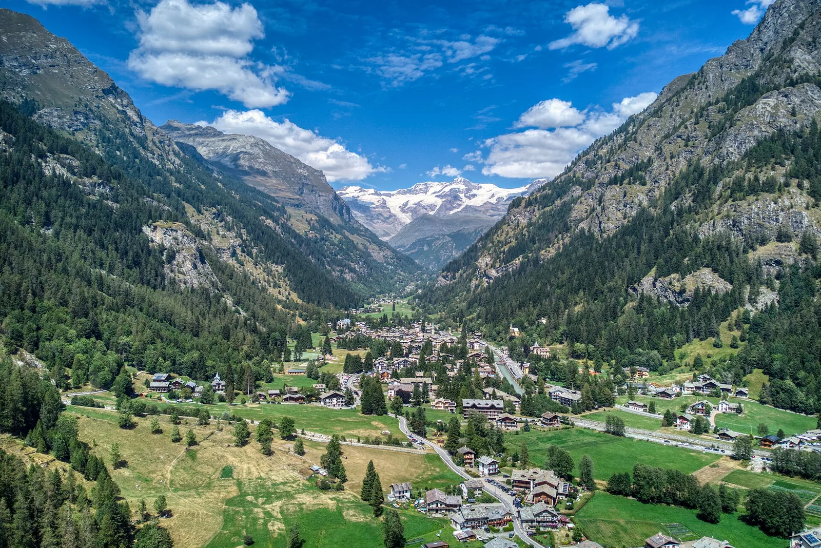
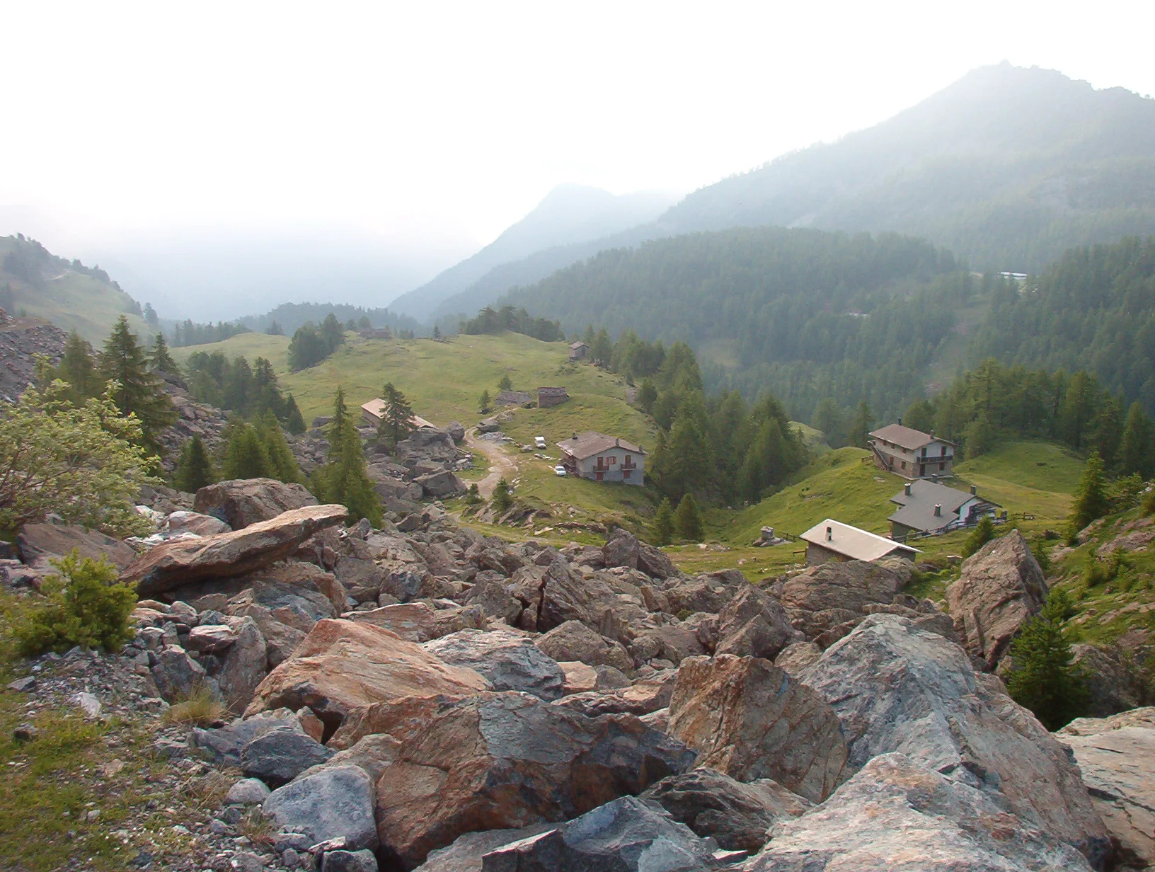
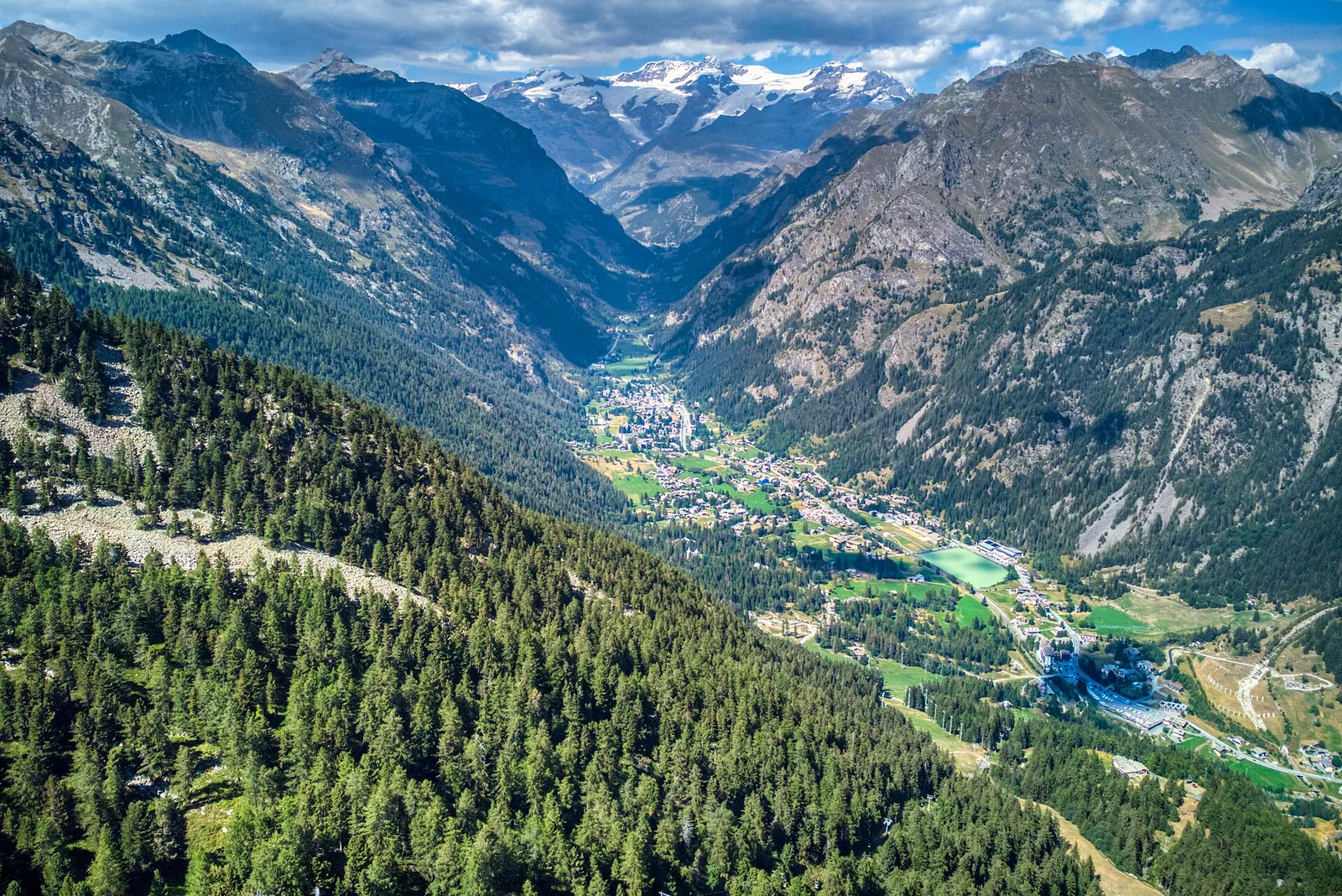
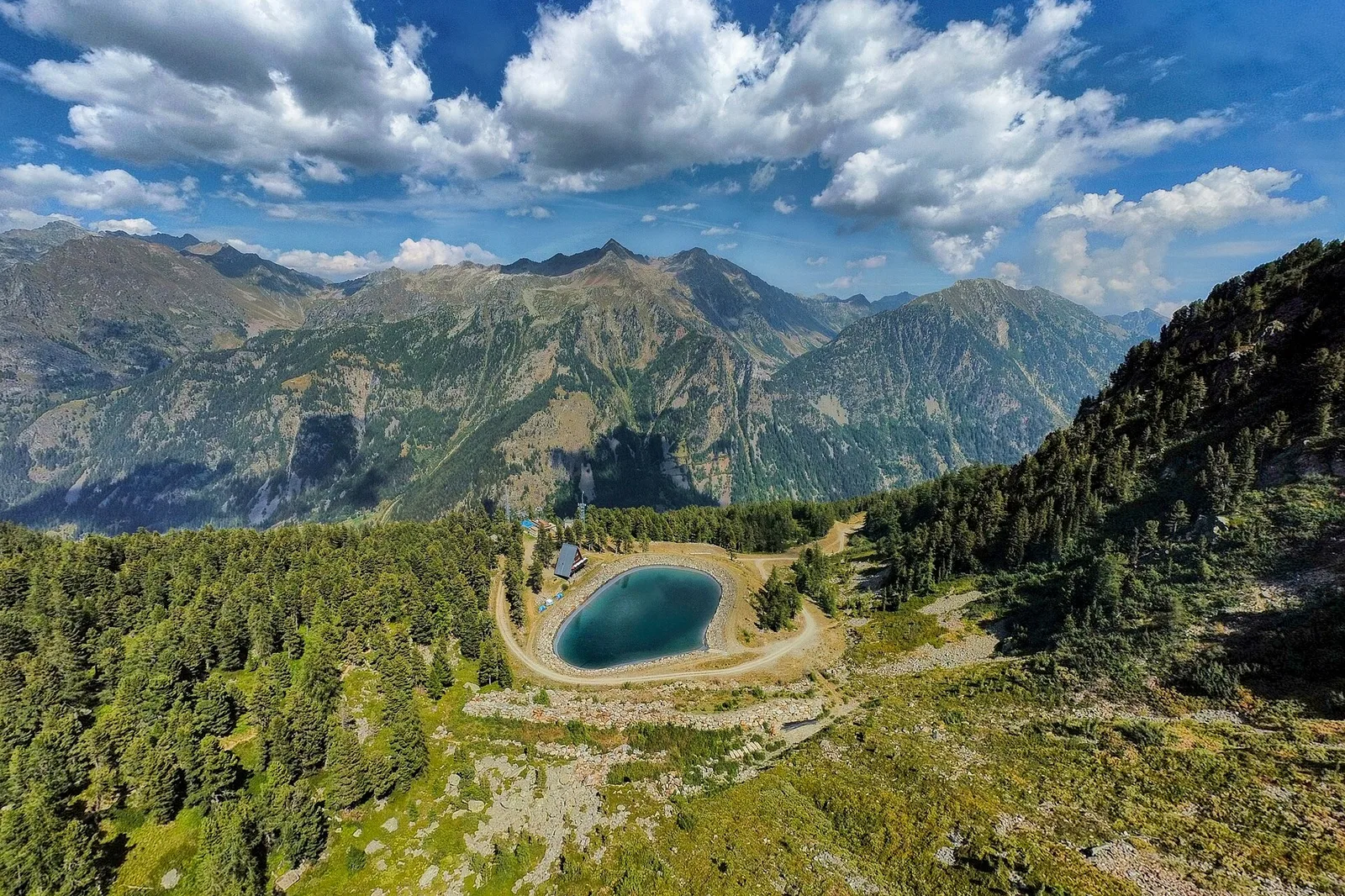
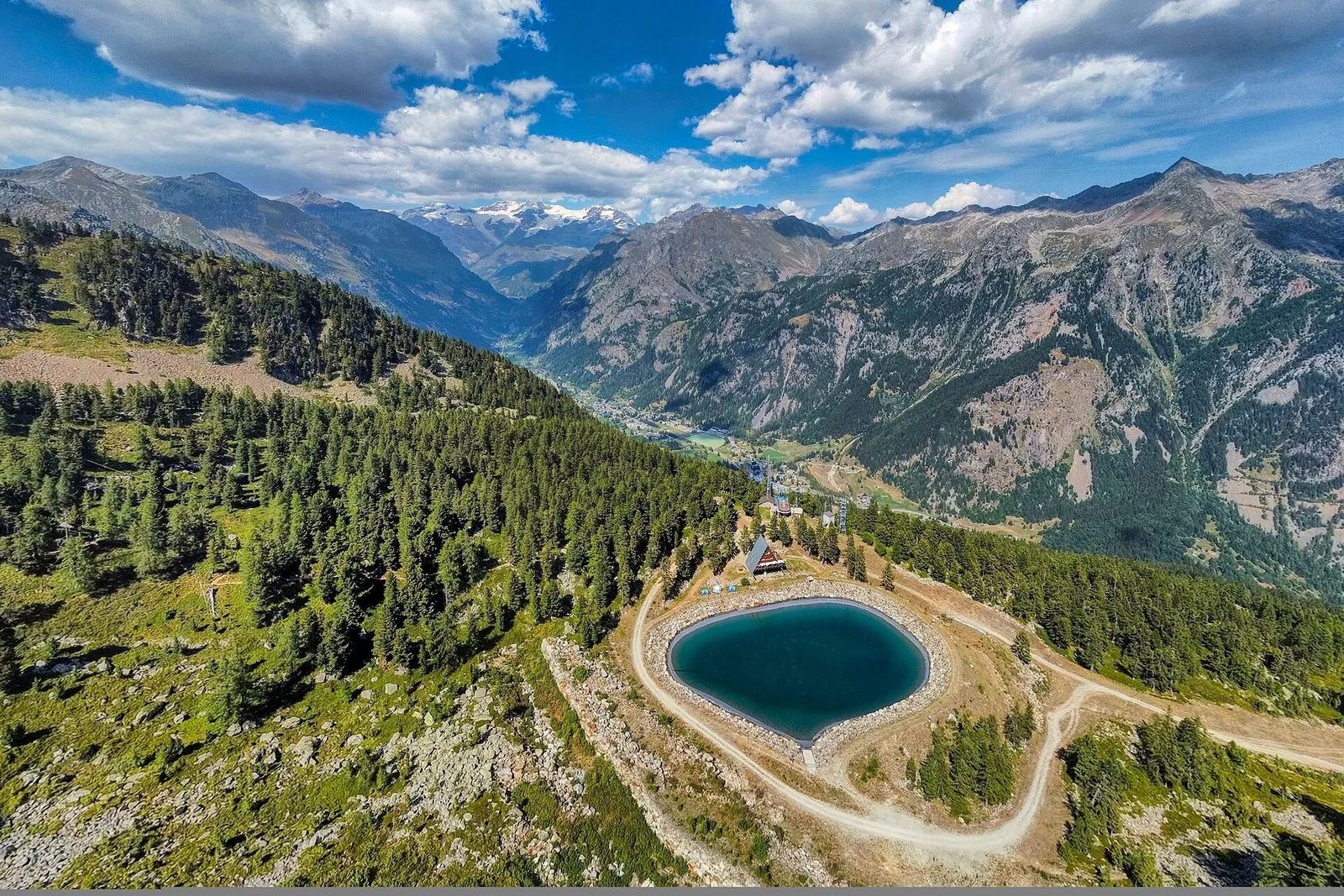
Valle di Gressoney
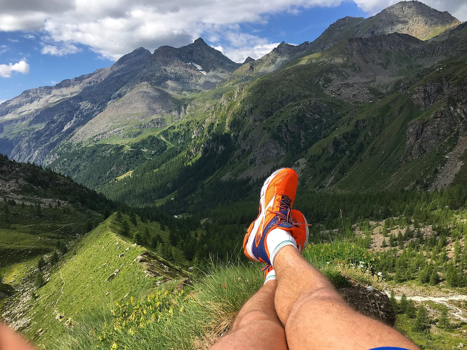
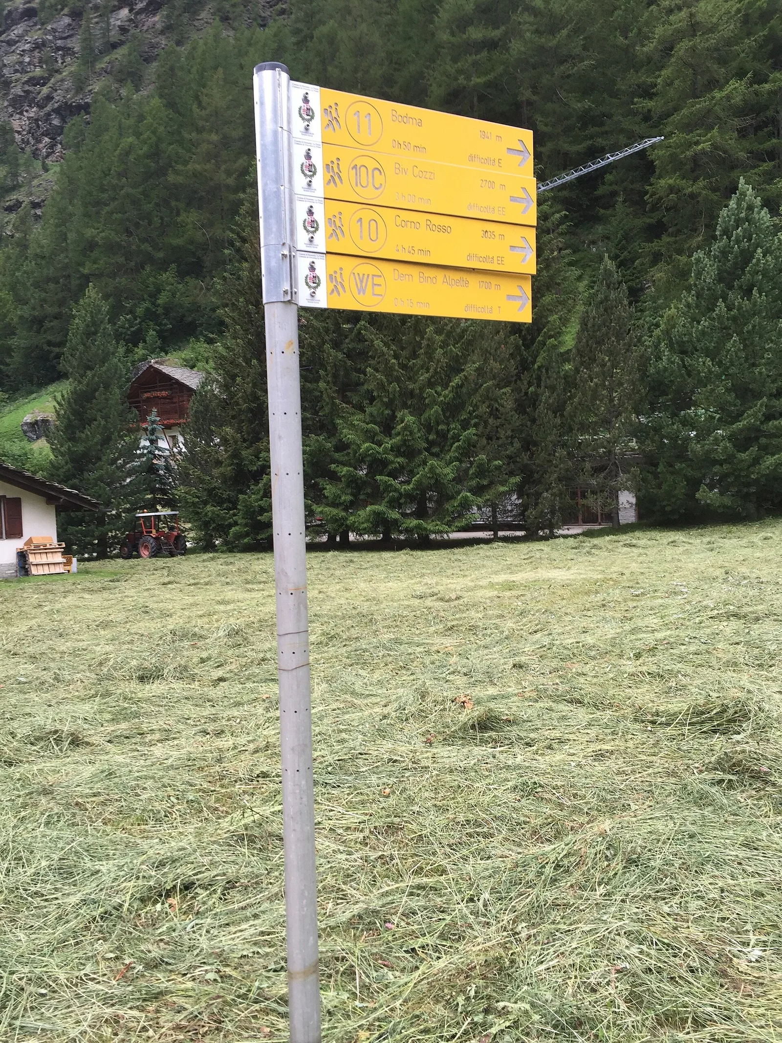
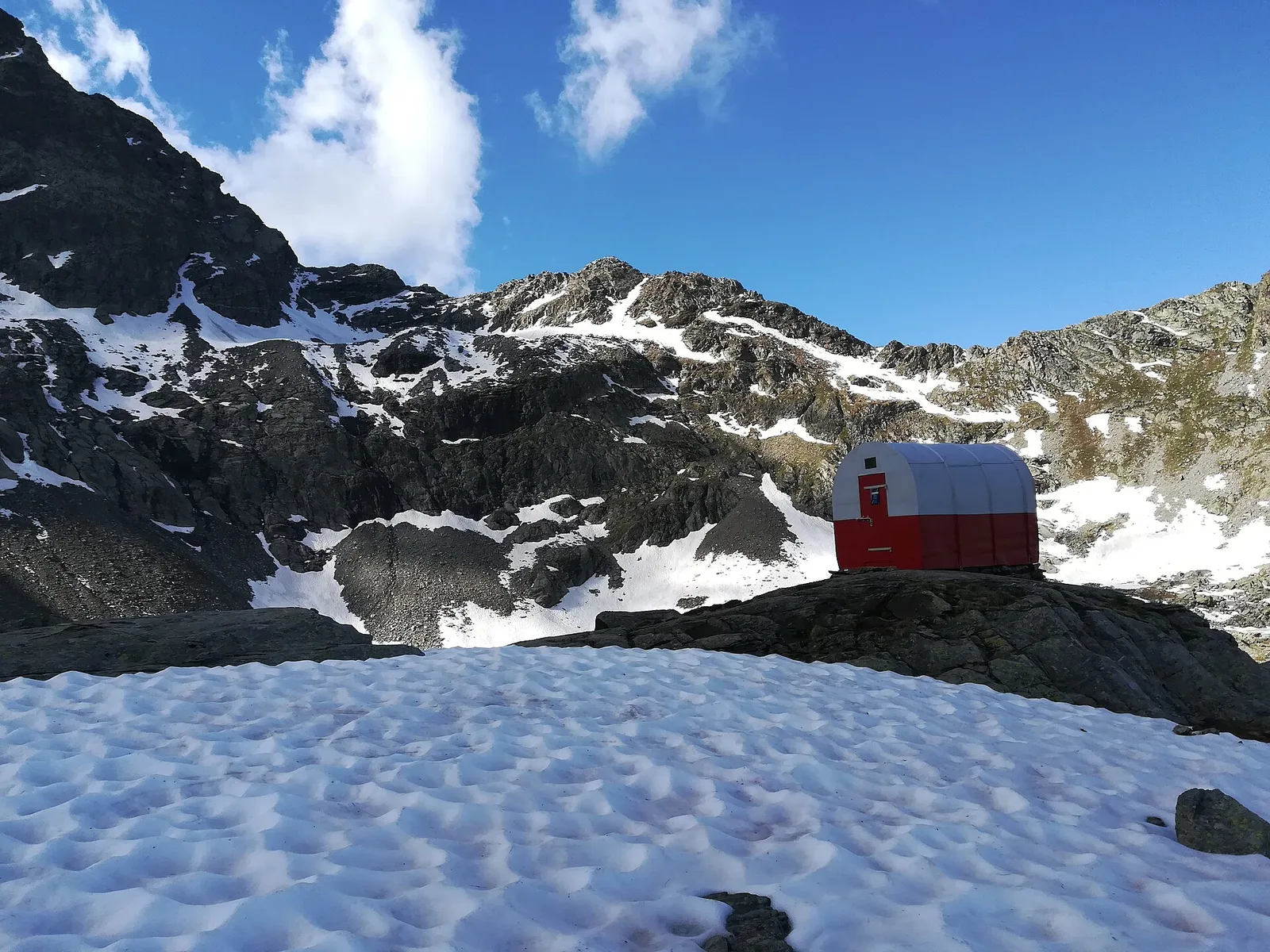
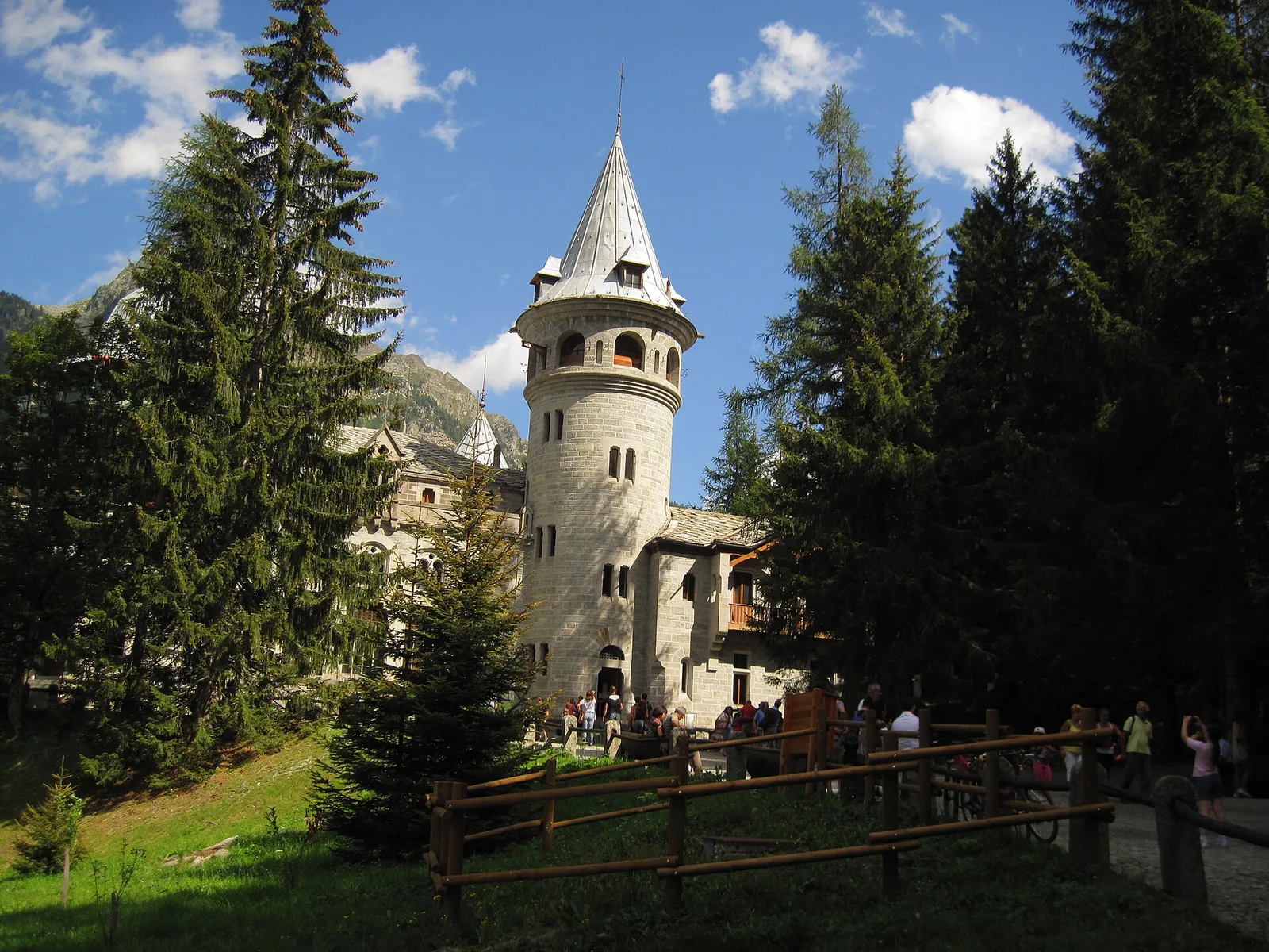
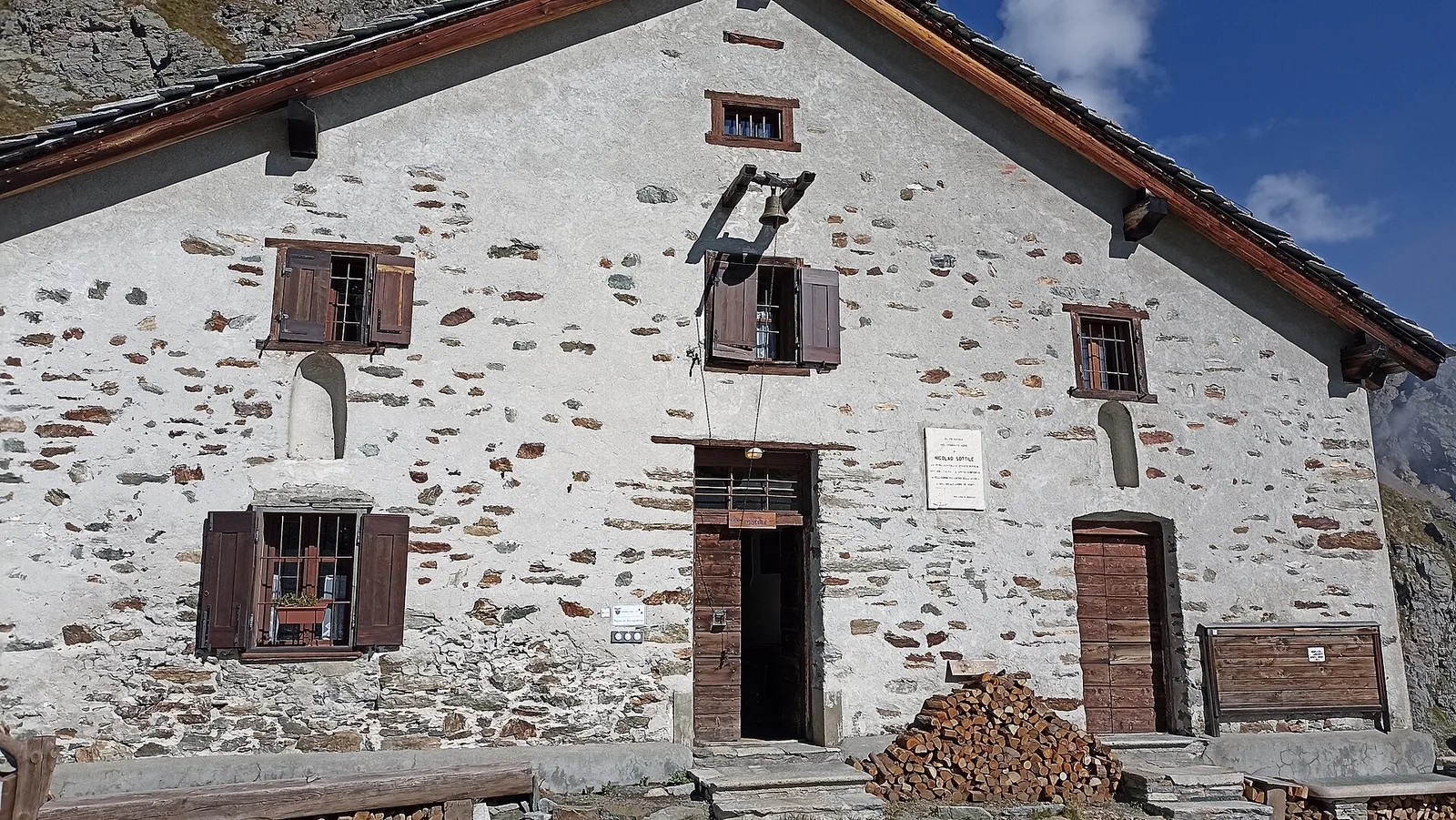
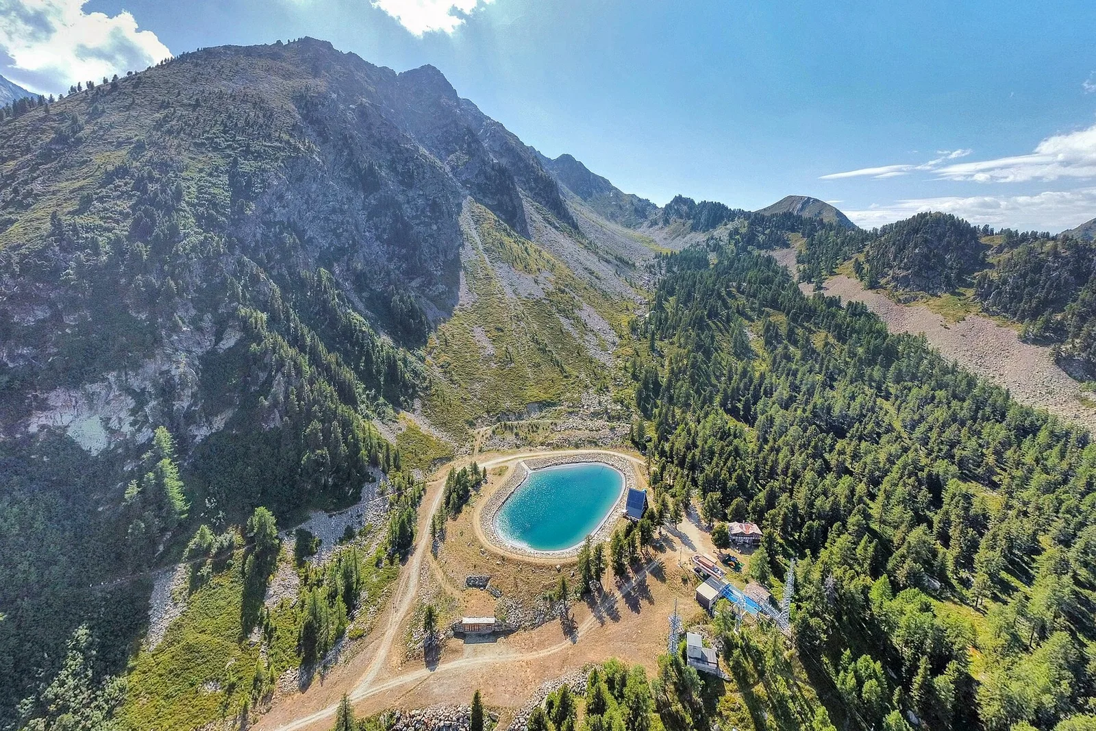
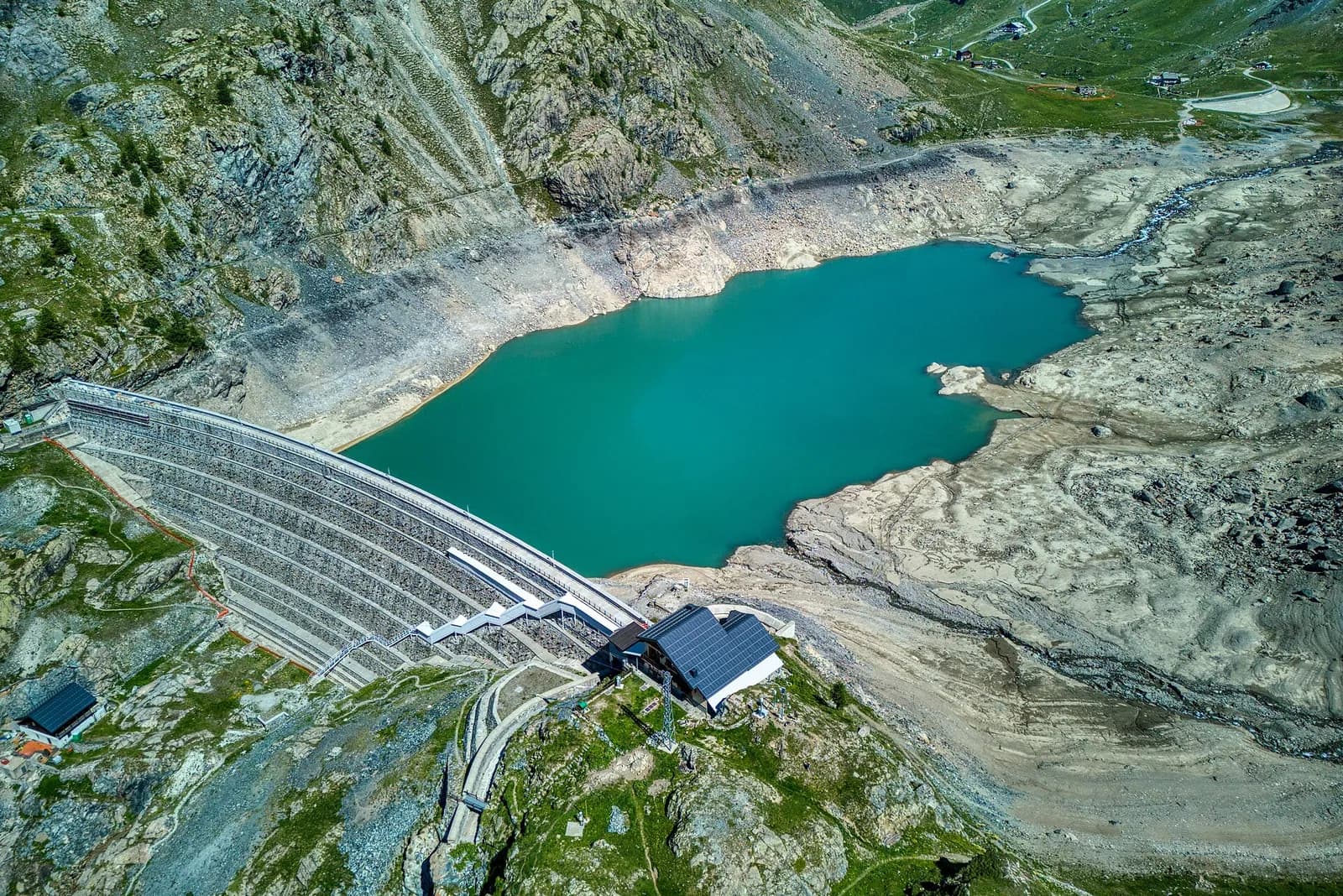
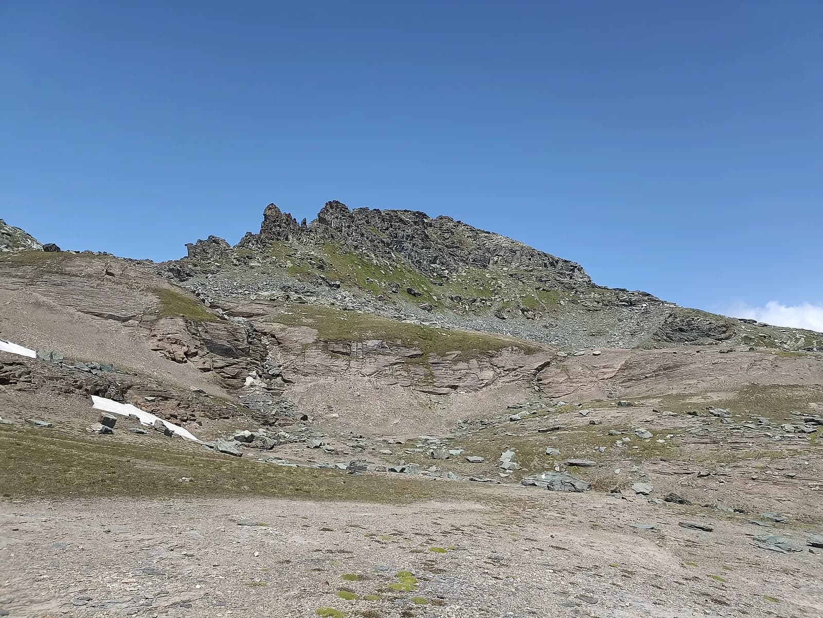
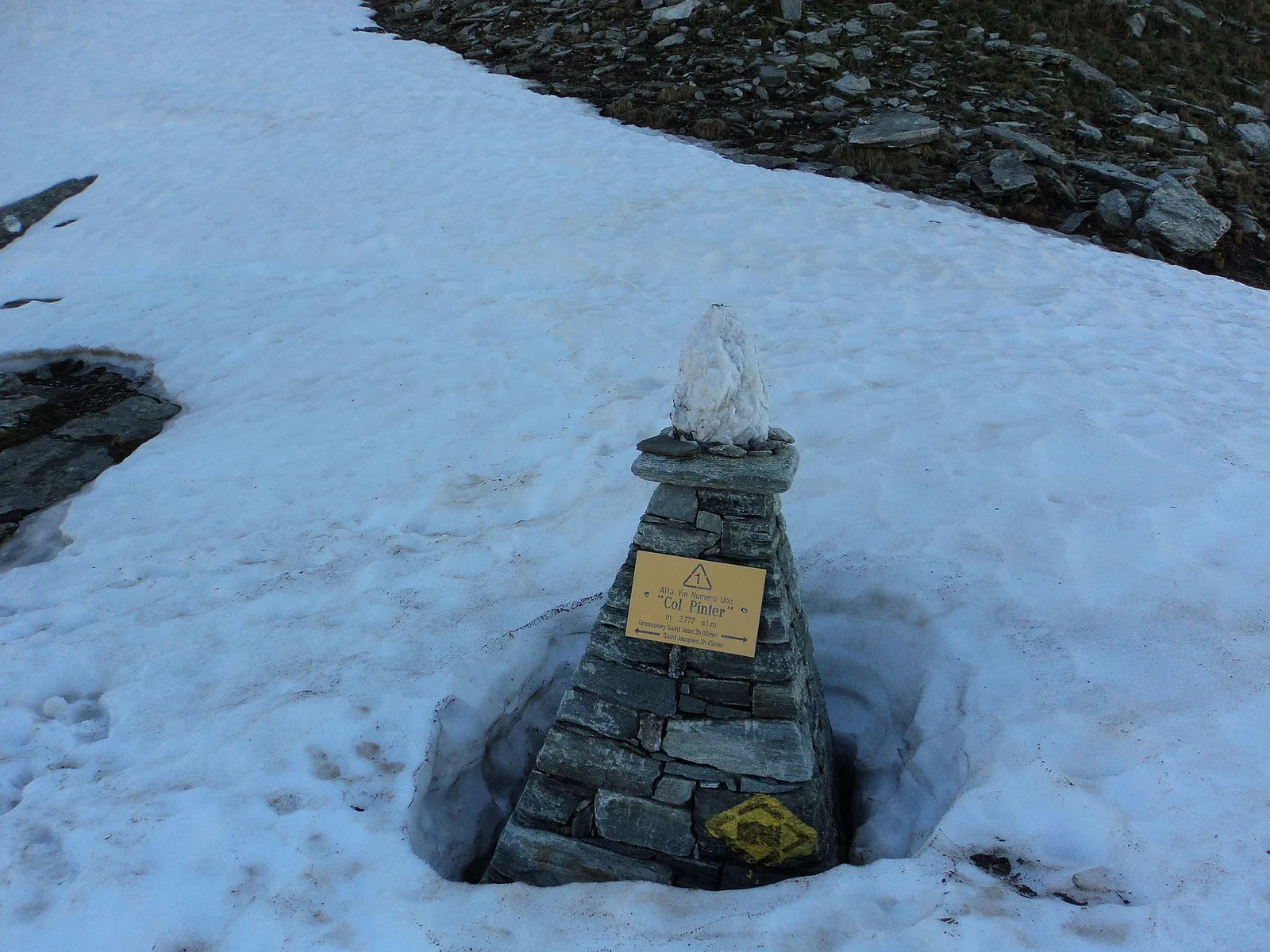
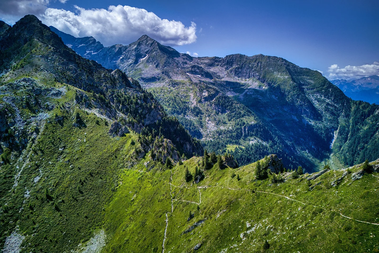
High Route 1 — Stage 5: Niel → Gressoney-Saint-Jean
The longest stage in this sequence: 18 km of solitary ridge walking above the Lys valley with Monte Rosa views, ending in the Walser town of Gressoney-Saint-Jean.

Trails and culture
32 trails linked to Fontina Fair — traditions and flavours along the route: difficulty T–EE, elevation gain 0–1699 m.
32 · 1.2–18.2 km · +0–1699 m

Valle di Gressoney
The longest stage in this sequence: 18 km of solitary ridge walking above the Lys valley with Monte Rosa views, ending in the Walser town of Gressoney-Saint-Jean.

Valle di Gressoney — Valle d'Ayas
Crossing Col Pinter at 2777 m is the highlight of this stage: a wild pass between two alpine valleys where Monte Rosa dominates the entire eastern horizon.

Valle del Lys
1.2 km · +287 m · E — from Balmeto to Leck Albezò (Champorcher Valley).

Valle del Lys
4.5 km · +1280 m · E — from Bino to Alpe Jatza (Champorcher Valley).

Valle del Lys
1.7 km · +20 m · E — from Leschelbalmo to Leschelbode (Champorcher Valley).

Valle del Lys
2.1 km · +538 m · E — from Lago Gover to Alpe Jatza (Champorcher Valley).

Valle del Lys
7.7 km · +1043 m · E — from Loomatto to Passo di Lazoney (Champorcher Valley).

Valle del Lys
2.8 km · +392 m · E — from Lysbalma to Ondermonté (Champorcher Valley).

Valle del Lys
4.9 km · +1393 m · EE — from Obrò Biela to Passo di Rissuolo (Champorcher Valley).

Valle del Lys
4.8 km · +786 m · E — from Onderwoald to Col Ranzola (Champorcher Valley).

Valle del Lys
4.3 km · +840 m · E — from Ondro Verdebio to Bronne (Champorcher Valley).

Valle del Lys
4.7 km · +1081 m · T — from Ondrò Verdebio to Colle Valdobbia (Champorcher Valley).

Valle del Lys
2.9 km · +667 m · E — from Ondrò Verdebio to Ondrò Skearpie (Champorcher Valley).

Valle del Lys
4.3 km · +1026 m · EE — from Rifugio Alpenzù to Passo di Valfredda (Champorcher Valley).

Valle del Lys
5.1 km · +1333 m · EE — from Rong to Passo dell'Alpetto (Champorcher Valley).

Valle del Lys
4.8 km · +1211 m · EE — from Rong to Passo Valdobbiola (Champorcher Valley).

Valle del Lys
13.1 km · +0 m · E — from Baite di David to Lysbalma (Champorcher Valley).

Valle del Lys
8.6 km · +1187 m · E — from Steina to Passo del Maccagno (Champorcher Valley).

Valle del Lys
8.6 km · +1145 m · E — from Steina to Passo di Loo (Champorcher Valley).

Valle del Lys
4.3 km · +155 m · T — from Bivio Villa Margherita to Start 9 (Champorcher Valley).

Valle del Lys
3.5 km · +723 m · E — from Strada per Tschalvrino to Col Ranzola (Champorcher Valley).

Valle del Lys
2.8 km · +590 m · E — from Start S2 (strada per Tschalvrino) to Weissmatten (Champorcher Valley).

Valle del Lys
12.7 km · +1425 m · E — from Capoluogo to Crest (Champorcher Valley).

Valle del Lys
From the Walser capital to Lake Gabiet.

Val d’Ayas — Valle del Lys
The Pinter pass closes the Aosta Valley loop of the Rosa.

Valle del Lys
3.4 km · +311 m · E — from Prima di Gressoney-La-Trinité to Alpezu grande (Champorcher Valley).

Valle del Lys
2.8 km · +159 m · E — from Wiessmatten to Col Ranzola (Champorcher Valley).

Valle del Lys
1.8 km · +241 m · E — from Weissmatten to Colle di Garda (Champorcher Valley).

Valle del Lys
3.5 km · +533 m · E — from Weissmatten to Passo Frudière (Champorcher Valley).

Valle del Lys
2.7 km · +397 m · E — from Strada per Tschalvrino to Col Ranzola (Champorcher Valley).

Valle del Lys
7.1 km · +1699 m · EE — from Zer Schmettò to Bivacco Lateltin (Champorcher Valley).

Valle del Lys
4 km · +1011 m · E — from Zer Trino to Passo Frudière (Champorcher Valley).