High Route 2 — Stage 13: Champorcher → Crest
Avisos
- Long stage with major elevation change
- Limited water at altitude
18 km
+1254 m
−1540 m
7 h
Nível físico
~1720 kcal estimadas
Mapa e percurso
Traço GPX oficial — Região Vale de Aosta / lovevda.it
Descrição
Pontos-chave
Partida
Champorcher · 1409 m
Chegada
Crest · 1127 m
From Champorcher, climb La Leigne valley to Colle della Fricolla and descend to Crest-Damon.
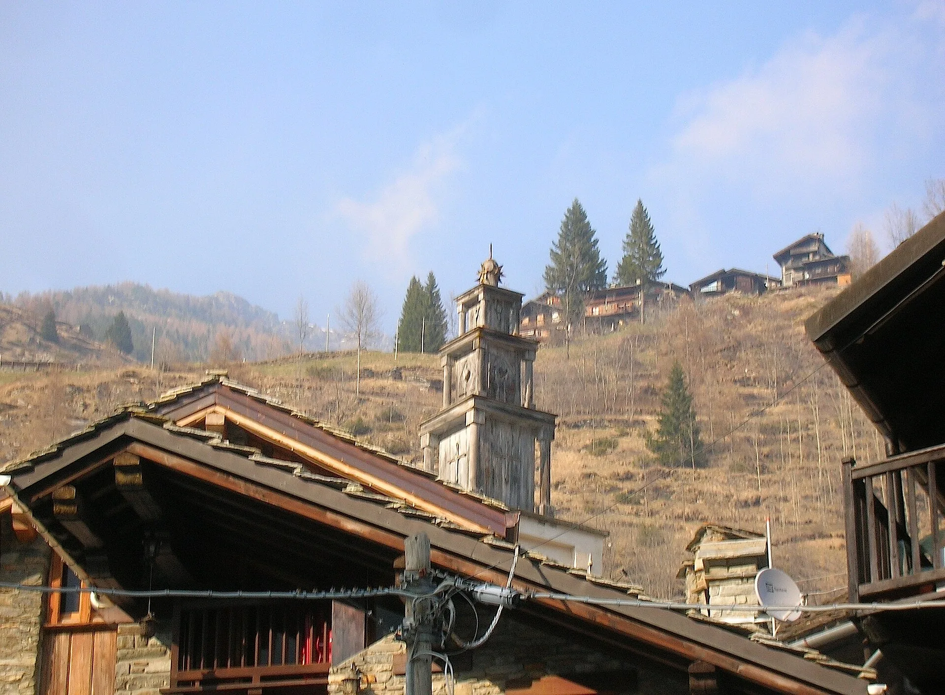
The penultimate stage through the woods on the Ayasse’s true right side: chestnut and beech forests and half-abandoned hamlets that tell of mountain depopulation. Dry-stone walls and terraces witness centuries of vertical farming; the Crest Damon gîte is the base for the last night up high. This is the quiet, contemplative stage of the high route: few other walkers, the rustle of beech leaves, and the steady reminder — in every ruined wall and abandoned terrace — of how densely these slopes were once farmed and inhabited.
Pontos-chave
Colle della Fricolla
2630 m · 10 km from start
Marked AV2 alpine pass
Ciências da Terra
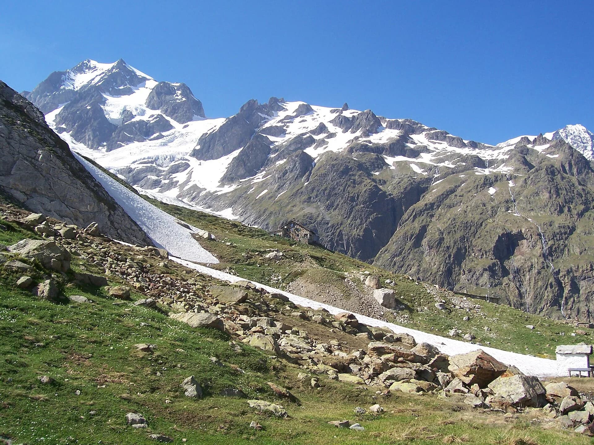
Geologia e paisagem
Southern flank of Mont Avic: micaschists, gneiss and phyllites; glacial lakes (Misérin) and Pleistocene moraine deposits.
História e cultura
The mid-slope hamlets between Champorcher and Pontboset lived on chestnuts, rye and hemp: the Alta Via follows the old paths between mills, ovens and votive chapels.
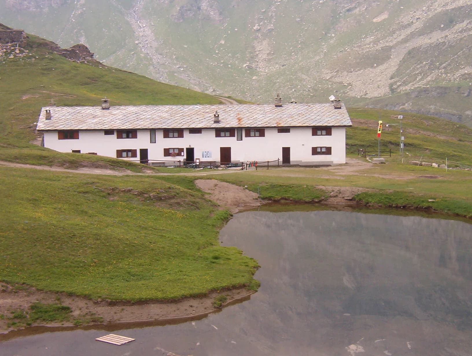
Pontos de água
Dondena, Misérin and Sogno di Berdzé huts; Champorcher village with bar.
Como chegar
VITA buses and connections from Aosta; check seasonal timetables at vita.it.
Estacionamento
Parcheggi comunali nei paesi di valle; verificare limitazioni in alta stagione.
Galeria de fotos
Photos are published immediately. JPG/PNG/WebP, max 6 MB.
Flora do trilho
Etapas adjacentes
AEditado e verificado por Andrea Rama
Fonte dos dados: Catasto Sentieri Regione Autonoma VdA — Alta Via n.2 · Open data — DGR 899/2014
Última verificação:
Champorcher
Trilhos relacionados
Mesmo vale ou percursos semelhantes — mais caminhadas para descobrir.
Champorcher
High Route 2 — Stage 11: Rifugio Sogno di Berdzé → Rifugio Dondena
Cross Fenêtre de Champorcher and Lake Misérin to Dondena.
Val Veny
High Route 2 — Stage 1: Courmayeur → Rifugio Elisabetta Soldini
First stage of AV2: from Courmayeur to Rifugio Elisabetta in Val Veny, at the foot of Mont Blanc.
Val di Cogne
High Route 2 — Stage 10: Cogne → Rifugio Sogno di Berdzé
Climb from Cogne centre to Rifugio Sogno di Berdzé at Péradzà.
Val Veny
High Route 2 — Stage 2: Rifugio Elisabetta Soldini → La Thuile
Descent from Col des Chavannes to La Thuile across pastures and the La Thuile valley.