E
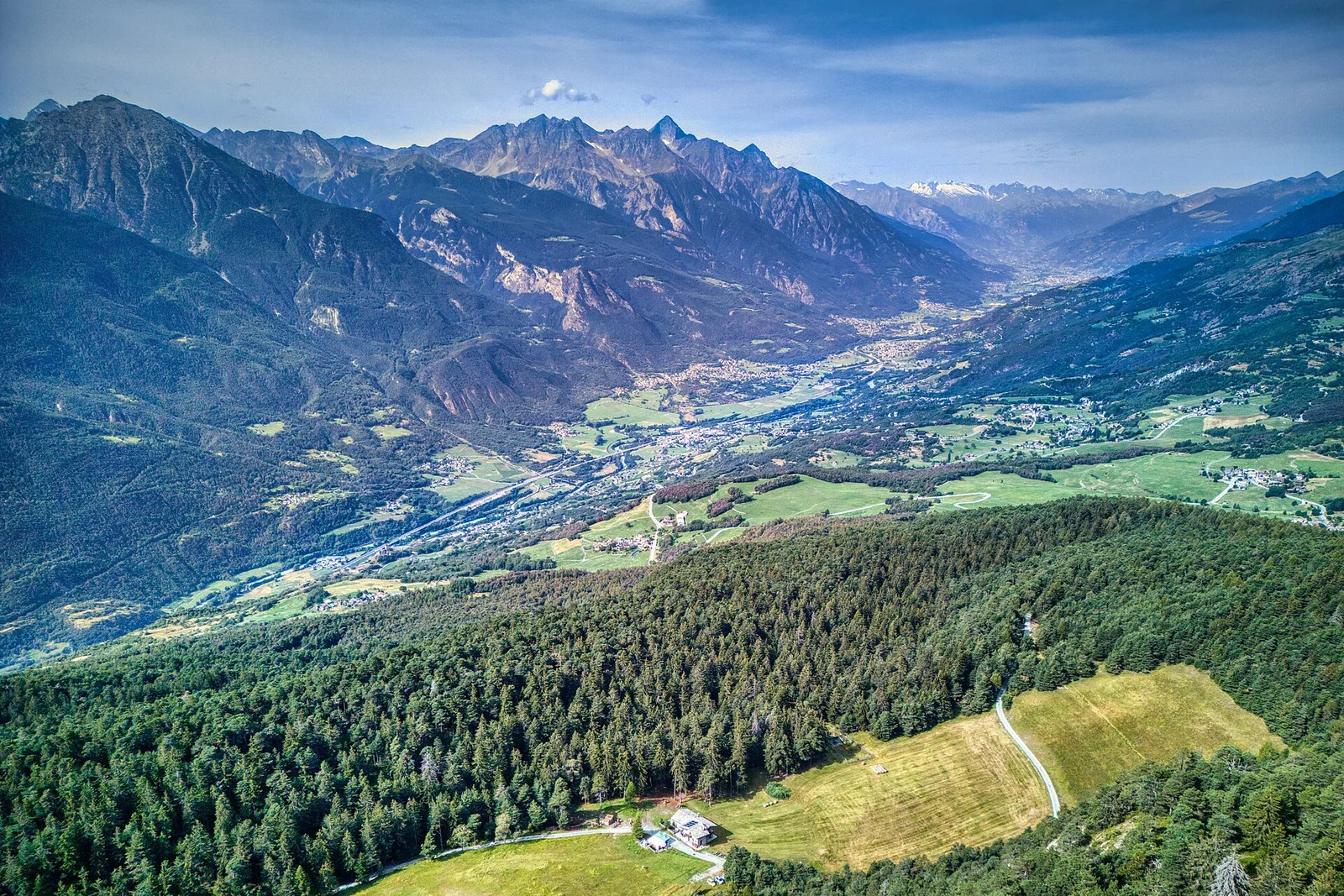
Valle centrale
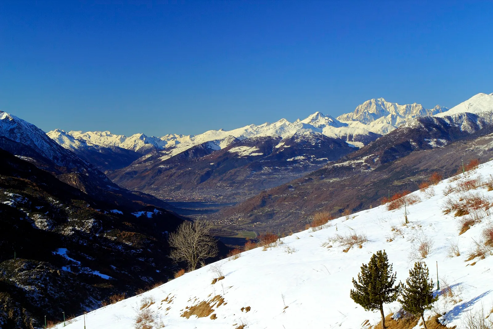
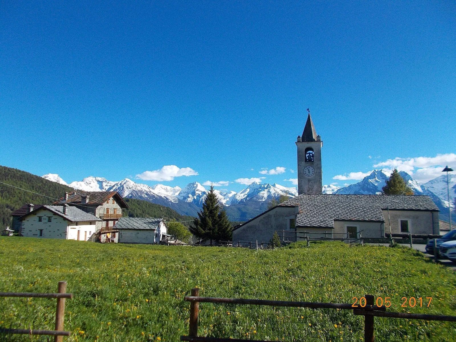
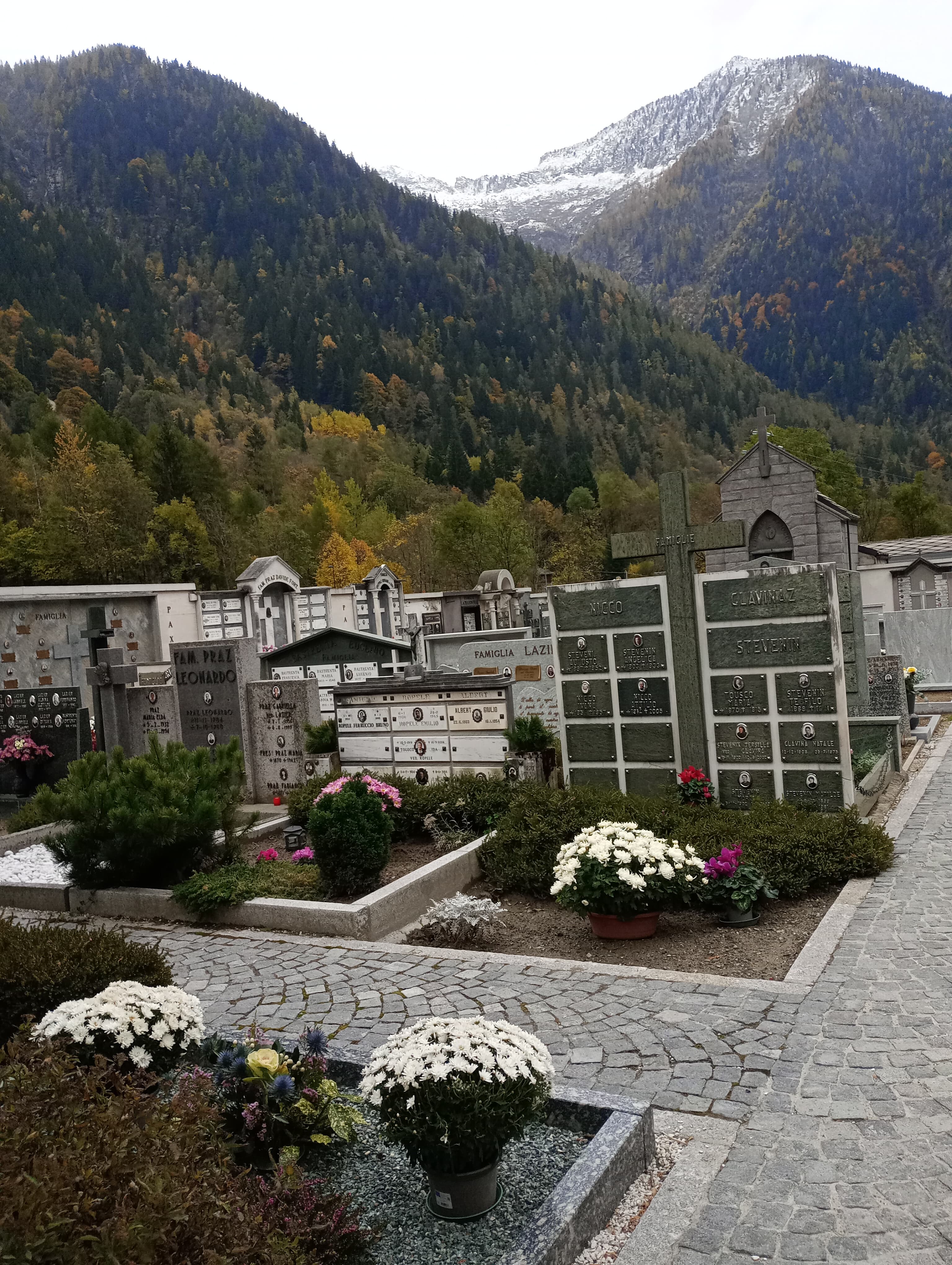
Avise - Saint-Nicolas
2.8 km · +431 m · E — from Avise to St-Nicolas (Valdigne).
2.8 km+431 m2 h
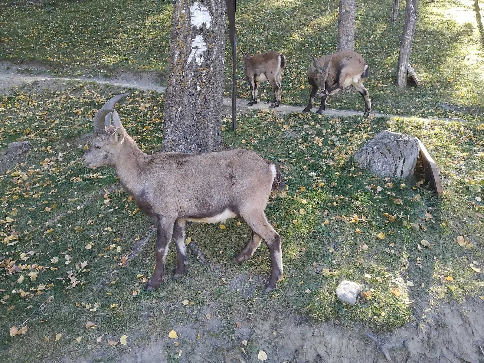
Where to spot
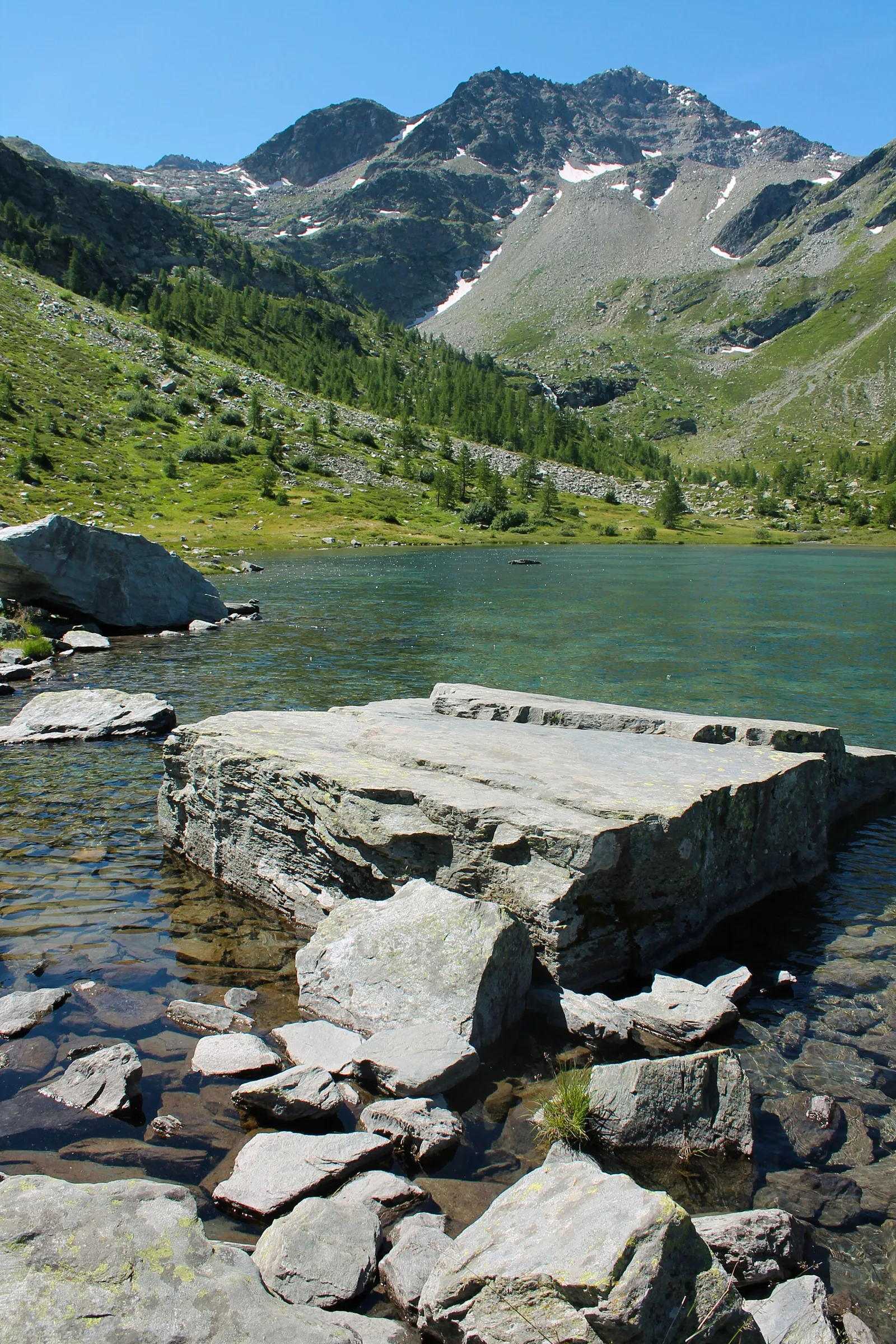
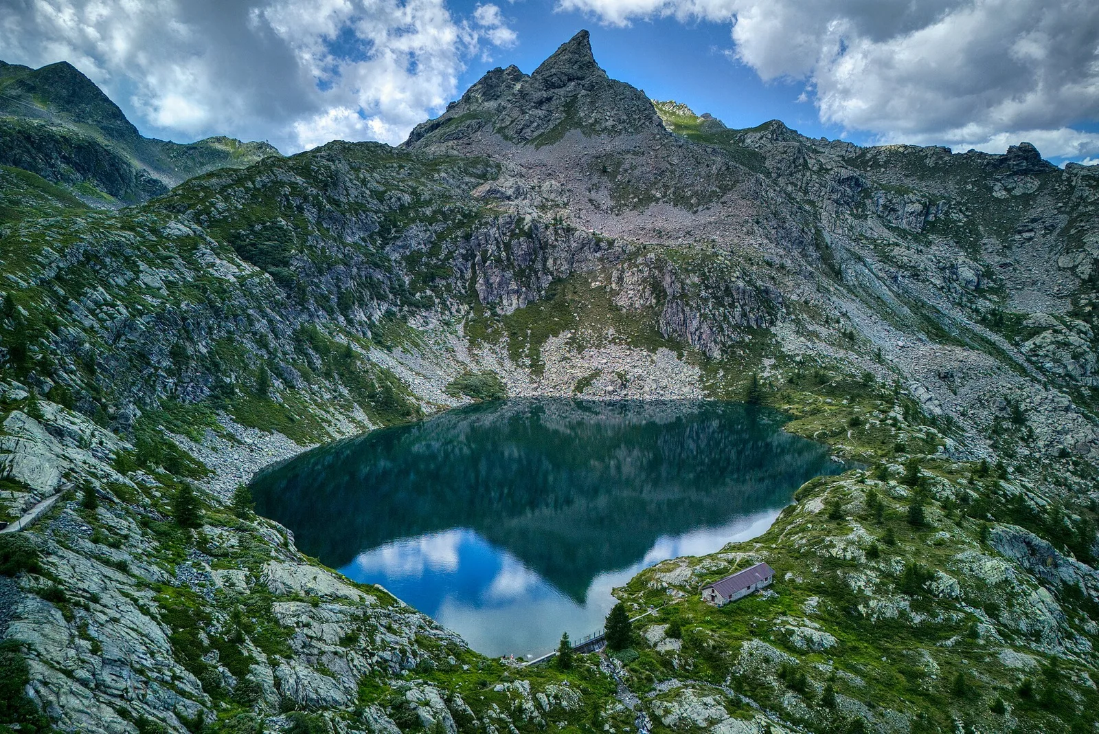
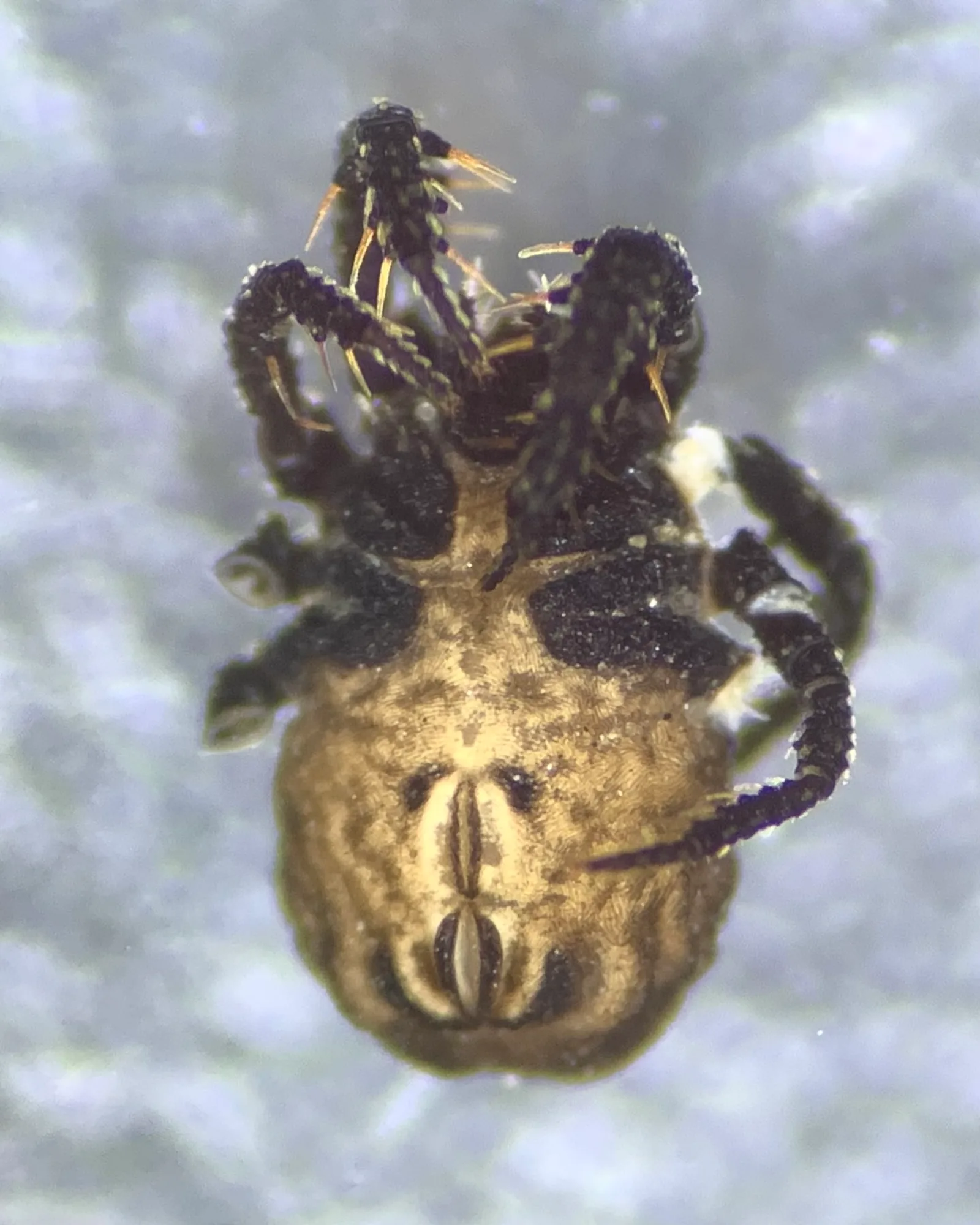
55 trails where Spring crocus is listed in flora/fauna: difficulty T–EE, elevation gain 23–1167 m.
55 · 0.6–7.7 km · +23–1167 m
Valle centrale
2.8 km · +431 m · E — from Avise to St-Nicolas (Valdigne).
Valle centrale
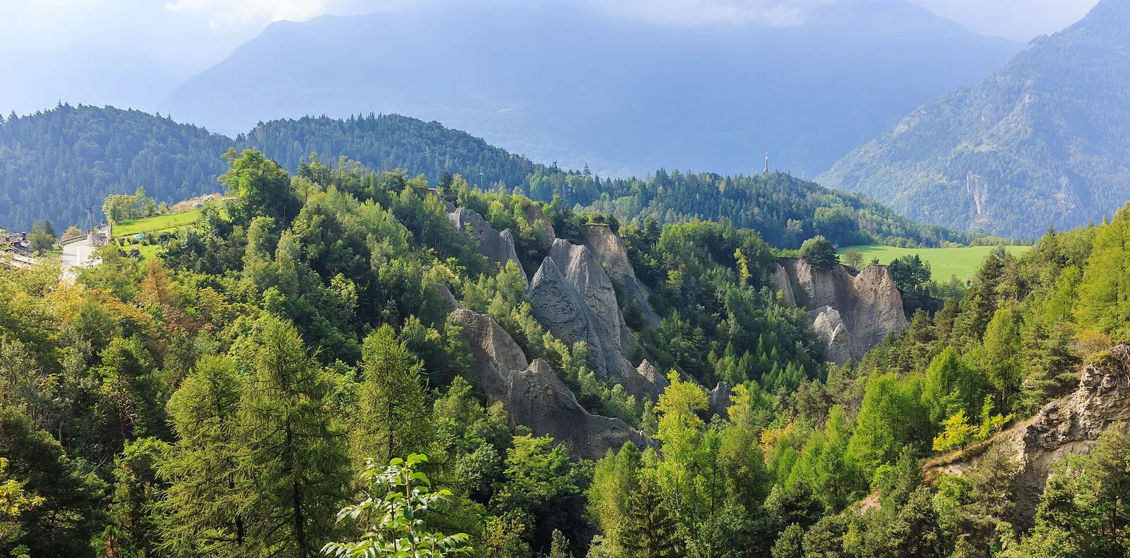
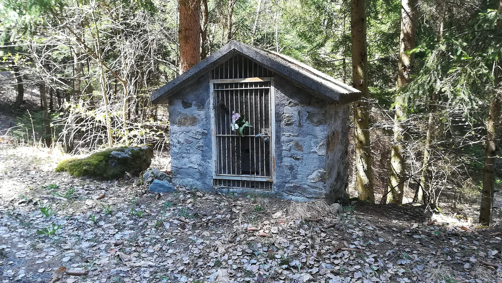
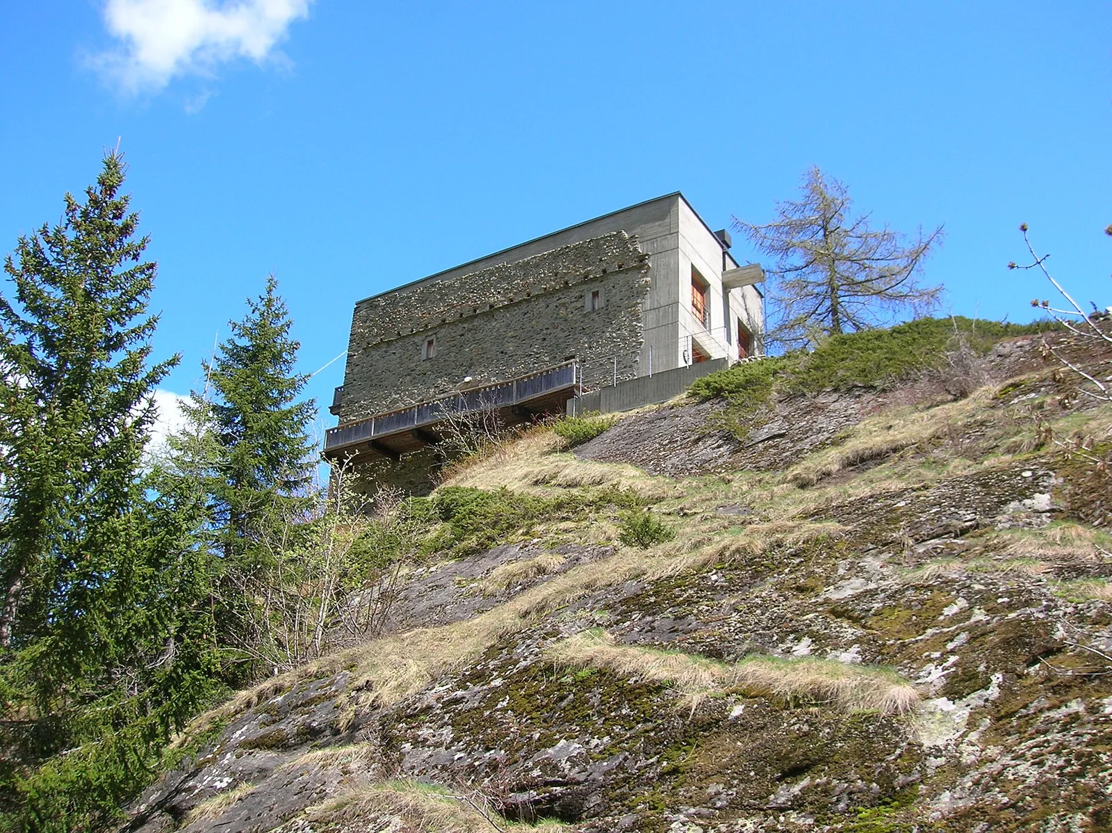
A short, gentle climb from Baulin to Mont Colombo, a modest wooded rise with a view over the central valley, above Avise.
Valle centrale
7.7 km · +1065 m · EE — from Bellon to Tsa de la Comba (Valgrisenche).
Val d'Ayas
1.8 km · +422 m · E — from Capiron to Miniera di Herin (Central Valley).
Valle centrale
0.6 km · +165 m · E — from Chabodey to Plan Belon (La Thuile).
Valtournenche
0.7 km · +72 m · E — from Champtorné to Gortz� (Valpelline).
Val di Cogne
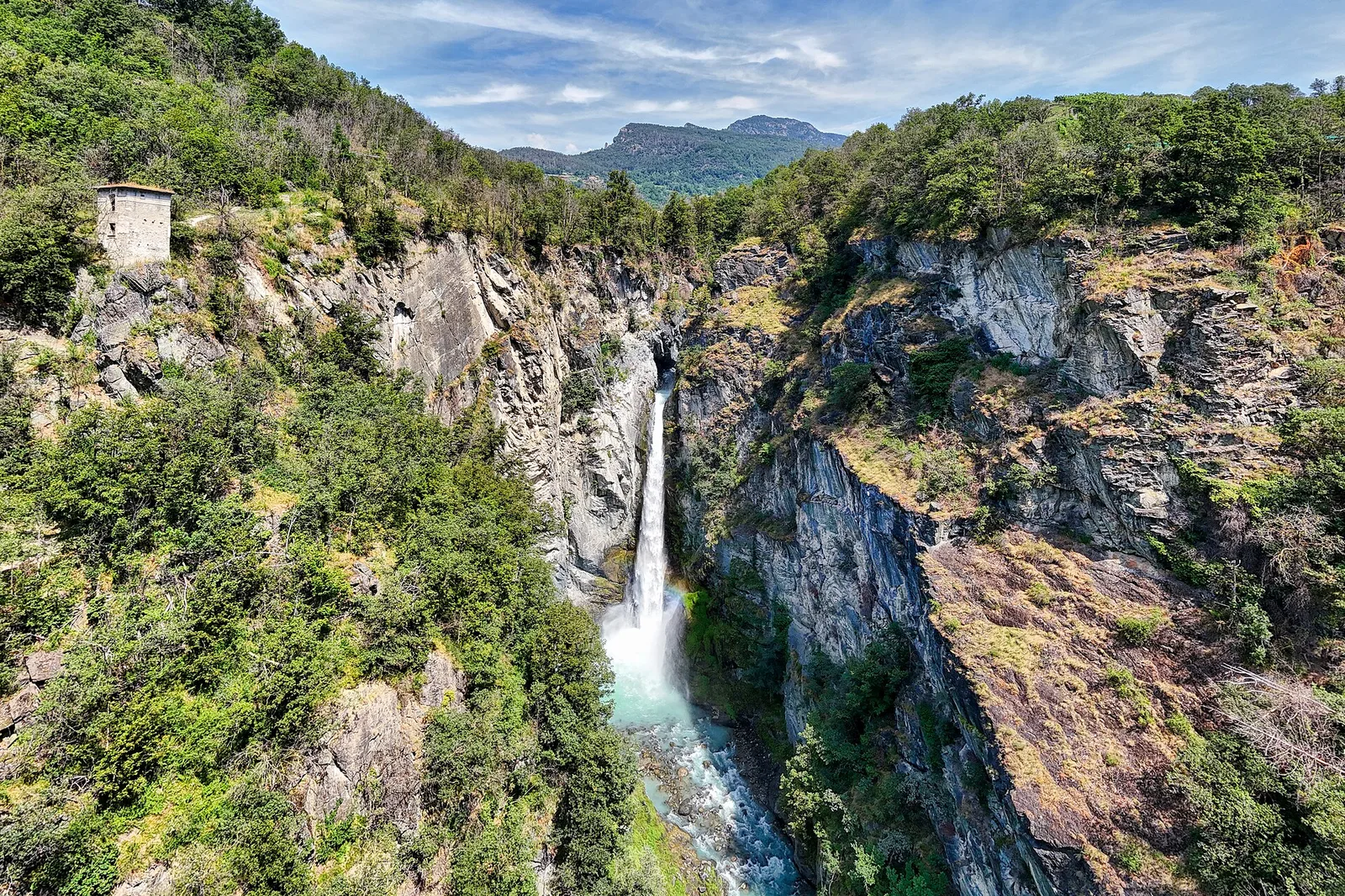
4.1 km · +218 m · T — from Capoluogo to Cascata di Lillaz (Lys Valley).
Valle centrale
1.2 km · +71 m · T — from Col Saint-Charles to Tête d'Arpy (Central Valley).

Valle centrale
6.1 km · +974 m · E — from Combelin to Becca France (Central Valley).
Valle centrale
1.5 km · +75 m · E — from Coteau to Eremo Saint-Julien (Lys Valley).

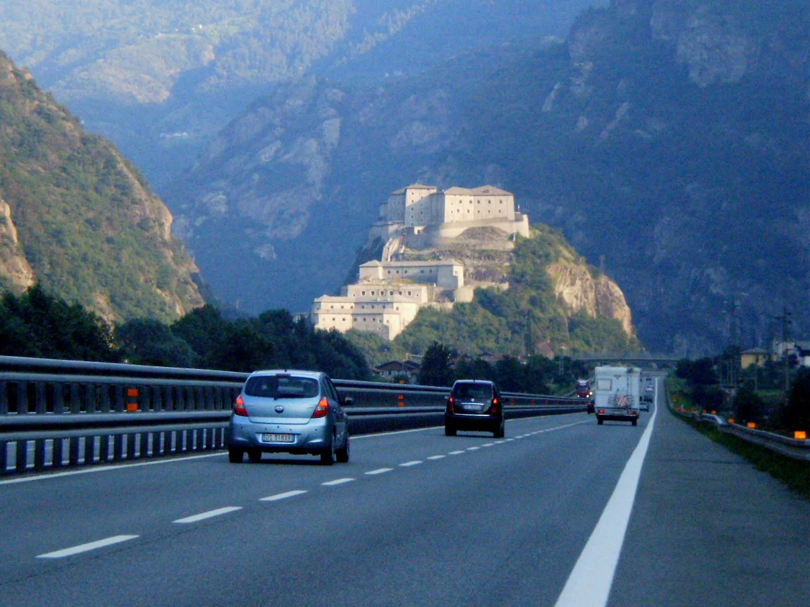
Valle del Gran San Bernardo
From Ville di Allein, an honest climb through pastures and larch woods to the Dortoir Baravex refuge at 1938 m, in the Great St Bernard valley.
Val d'Ayas
0.7 km · +133 m · E — from Erésaz to Borna da Ghiasa (Great St Bernard Valley).
Valle centrale
3.3 km · +594 m · E — from Ermitage de Saint-Grat to Col Replan (Cogne Valley).
Bassa Valle
2.5 km · +373 m · E — from Fey to Piatolet (Central Valley).
Valle centrale
3.8 km · +450 m · E — from Fossaz to Grand Sarriod (Central Valley).
Valle centrale
3.5 km · +432 m · E — from Fossaz to Gerbore (Central Valley).
Valpelline
5.8 km · +1117 m · E — from Glacier to Bivacco Rosazza/Savoie (Valpelline).
Valle del Lys
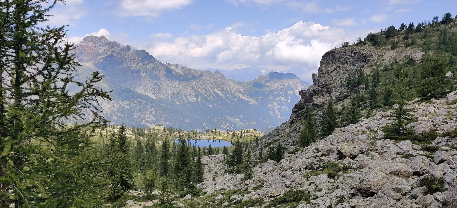
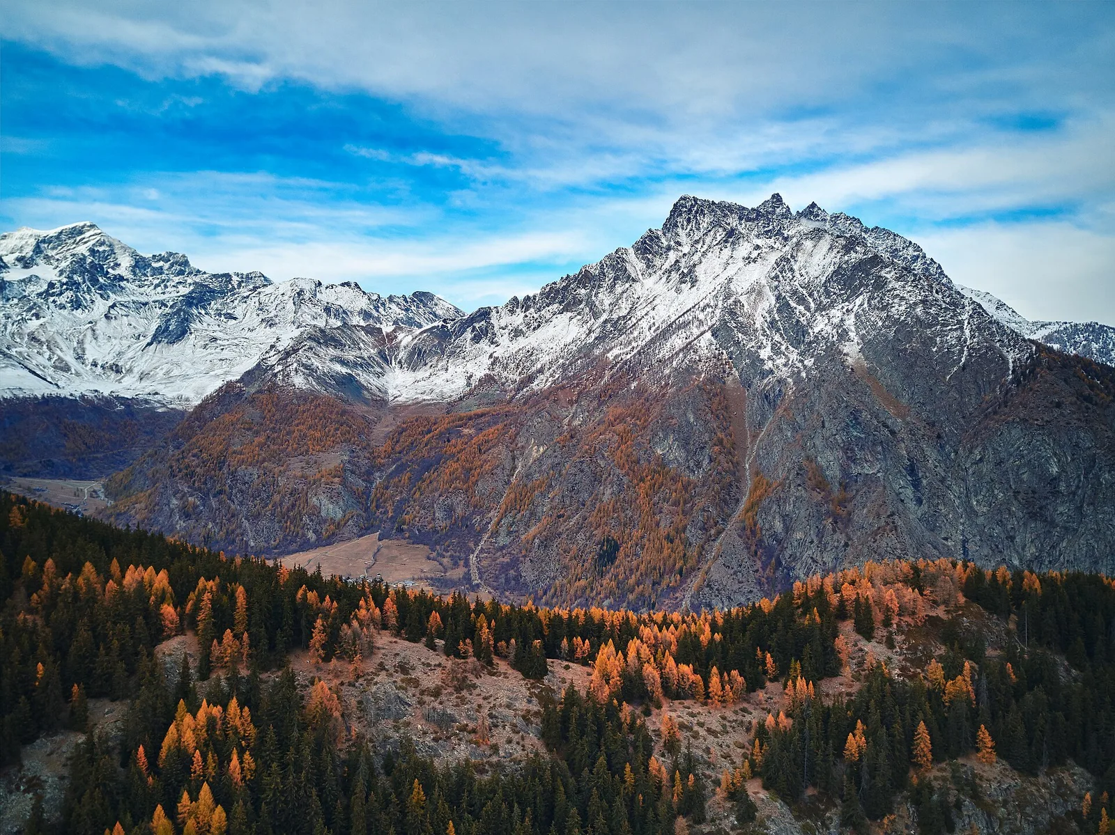
Upper Val d'Ayas, Brusson: a route through high-altitude meadows and rock.
Valtournenche
2.4 km · +23 m · T — from Cappella di Saint-Pantaléon to Saint-Evence (Central Valley).
Bassa Valle
4.2 km · +1074 m · E — from La Clévaz to Plan Fiou (Valsavarenche).
Val Ferret
3 km · +536 m · E — from La Remisa to Gioè damon (Great St Bernard Valley).
Valtournenche
1.3 km · +310 m · E — from Lies to tornante S.R. (Valtournenche).
Valle centrale
7.7 km · +287 m · E — from Lignan to Champlaisant (Valpelline).
Valle del Lys
2.8 km · +392 m · E — from Lysbalma to Ondermonté (Champorcher Valley).
Valgrisenche
2.3 km · +650 m · E — from Melignon to Féleumaz (Central Valley).
Bassa Valle
3.9 km · +1035 m · E — from Monteil to Montat (Valtournenche).
Val d'Ayas
6.5 km · +1049 m · E — from Mure to Boden (Central Valley).
Val d'Ayas
3.9 km · +1057 m · E — from Omens to Bec de l'Oie (Valtournenche).
Valle del Lys
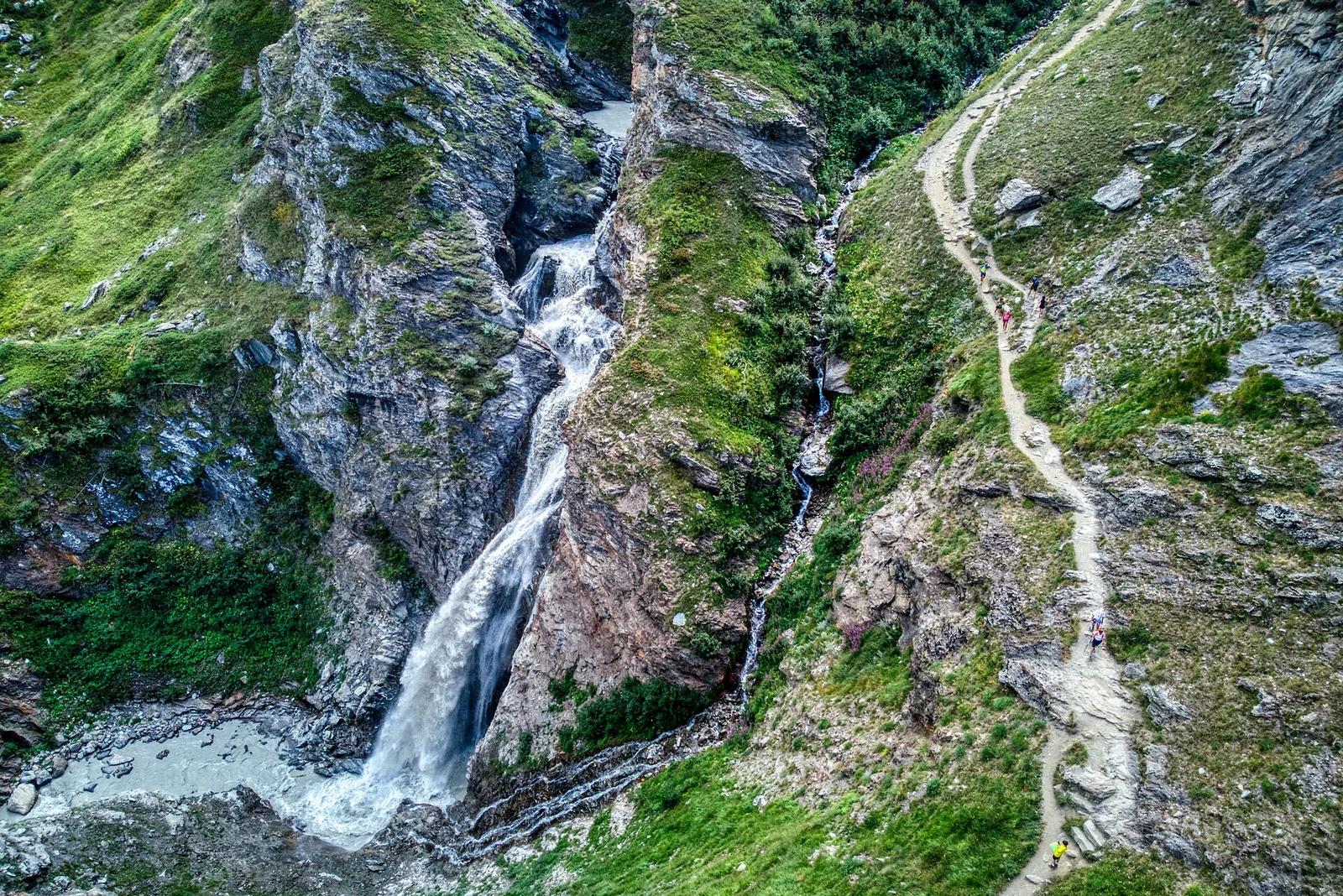
5.7 km · +773 m · E — from Ondre Eselbode to Rifugio Gabiet (Lys Valley).
Val d'Ayas
2.3 km · +160 m · E — from Orbeillaz to Pian Abelly (Ayas Valley).
Valle di Champorcher
5.2 km · +796 m · E — from Outre l'Eve to Alpe Chenessy (Valtournenche).
Valle centrale
1.7 km · +169 m · E — from Palleusieux to Verrand (Rhêmes Valley).
Valtournenche
2.3 km · +178 m · E — from Pâquier to Lago Loz (Central Valley).
Val d'Ayas
1 km · +176 m · T — from Periasc to Antagnod (Central Valley).
Valle del Gran San Bernardo
5.7 km · +562 m · E — from Petit-Buthier to Alpe Ars (Central Valley).
Valle di Champorcher
1.4 km · +381 m · EE — from Petit-Rosier to Col de Poussauel (Valtournenche).
Val Veny
2.4 km · +379 m · E — from Plan Checrouit to Col Checrouit (Great St Bernard Valley).
Val Veny
5.2 km · +200 m · T — from Plan Ponquet to Visaille (giro dei tre ponti) (Great St Bernard Valley).
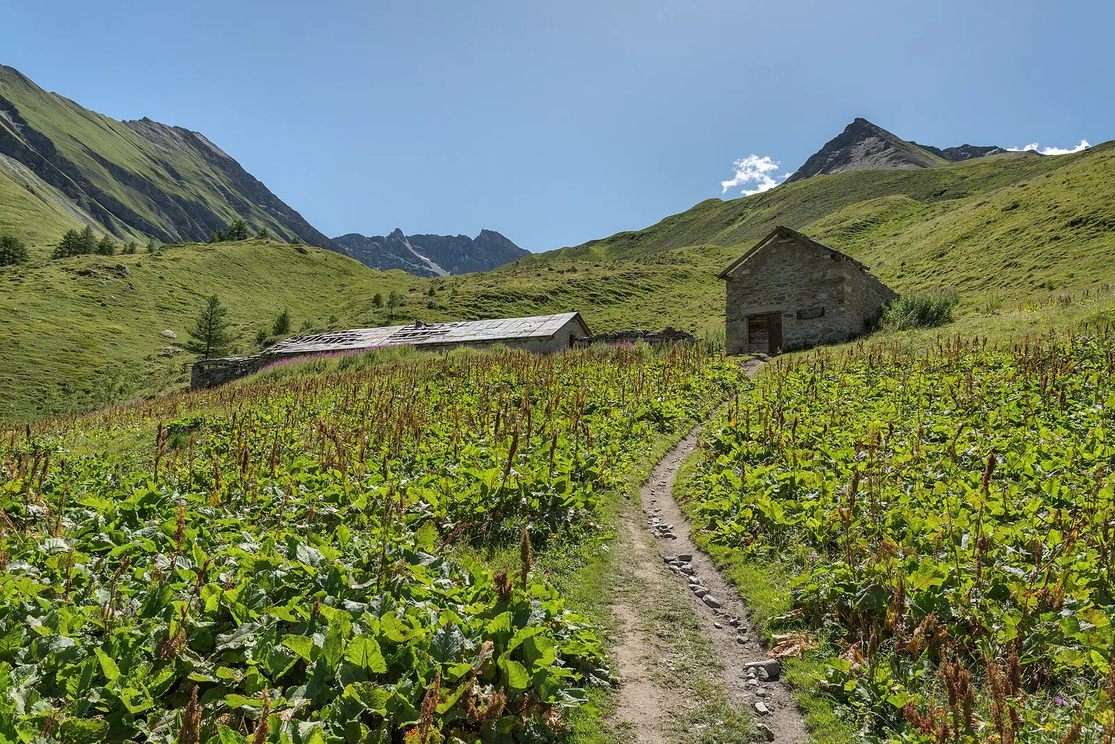
Valgrisenche
From Planaval in the lower Valgrisenche, a well-signed climb to Becca Ceré: pastures, woods and a balcony over the valley and its glaciers.
Valle centrale
3.1 km · +806 m · E — from Pompiod to Champallex (Champchenille) (Valtournenche).
Valle del Lys
1.8 km · +448 m · E — from Posa to Saroun (Lys Valley).
Val d'Ayas
2.1 km · +96 m · E — from Résy to Plan de Véraz (Central Valley).
Valgrisenche
4.2 km · +198 m · E — from Confine comunale Arvier, Revers to Valgrisenche (Valtournenche).
Valpelline
2.4 km · +348 m · E — from Rifugio Prarayer to Alpe Braulé (Valpelline).
Valtournenche
3 km · +114 m · E — from N.D. to N.D. (Central Valley).
Valle del Lys
6.6 km · +837 m · E — from Sainte-Marguerite to Punta di Cressa (Central Valley).
Valle di Champorcher
4 km · +700 m · E — from Varesa to Santuario di Retempio (Champorcher Valley).
Val d'Ayas
1.9 km · +316 m · E — from Sizan to Col d'Arlaz (Ayas Valley).
Valle di Champorcher
3.5 km · +745 m · EE — from Strada Dondena to Cima Piana (Valtournenche).
Val di Rhêmes
3.7 km · +390 m · E — from Thumel to Rifugio Benevolo (Great St Bernard Valley).
Valle del Lys
6.8 km · +1156 m · E — from Tzendelabò to Colle della Vecchia (Great St Bernard Valley).
Valpelline
4.1 km · +598 m · E — from Capoluogo to Billiouque (Valtournenche).
Valle centrale
1.1 km · +191 m · E — from Verrogne to Vulmian (Central Valley).
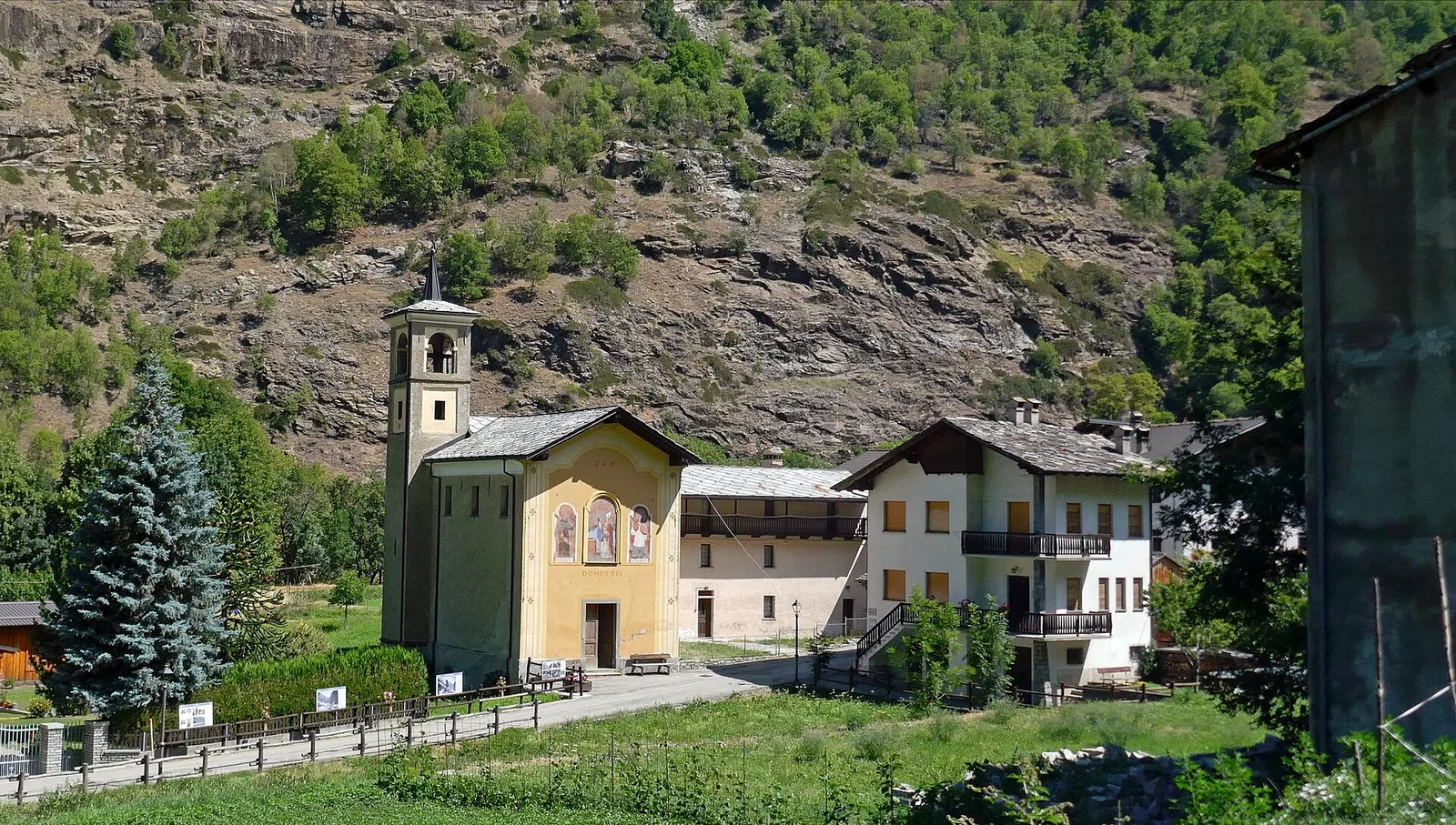
Val di Cogne
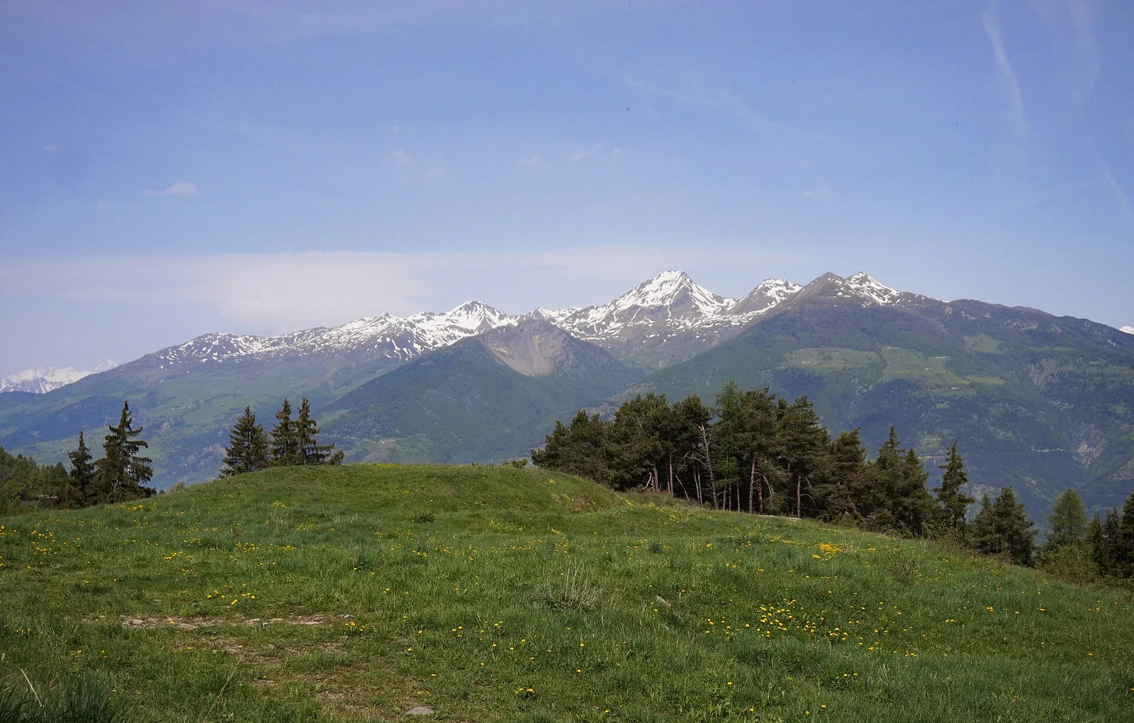
In the Val di Cogne, Aymavilles: an E-rated climb toward an objective in the Gran Paradiso National Park.
Valle centrale
3.3 km · +479 m · E — from Ville to Combes (Lys Valley).