Trail guide
The best hikes in the Rhêmes Valley
The best hikes in the Rhêmes Valley: 13 selected trails with difficulty, distance, elevation gain and links to the route pages. Sentieri VdA guide.
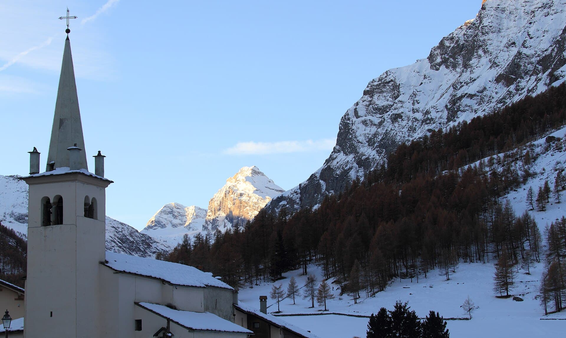
A quiet Gran Paradiso valley, Rhêmes is dominated by the Granta Parey pyramid: the Benevolo refuge, the Goletta lakes and waterfalls, pastures and wildlife trails among chamois and bearded vultures.
This guide gathers the best trails in the area, all from the Sentieri VdA catalogue: for each one you get the CAI difficulty, distance, elevation gain and a direct link to the route page with map, elevation profile, photos and the day’s weather.
Every itinerary below uses real data from the Aosta Valley trail registry — waymark numbers, distances and elevation gain — and links to the full page with satellite map, GPX track, elevation profile and the nearest town’s weather. Always check conditions before setting off: at altitude the weather changes fast and some passes stay snow-covered into early summer.
Selected trails
Gran Paradiso Tour — Stage 7: Rhêmes-Notre-Dame → Eaux Rousses
15.1 km · +1283 m · EE — from Rhêmes-Notre-Dame to Eaux Rousses.
From Rhêmes-Notre-Dame climb through the Entrelor forest and high pastures to the Col Entrelor (3,007 m), between the realms of the chamois and the bearded vulture. The descent passes the Djouan lakes and the Orvieille alp, an old royal hunting reserve, down to Eaux-Rousses (1,666 m).
High Route 2 — Stage 7: Rhêmes-Notre-Dame → Eaux-Rousses
16 km · +1281 m · E — from Rhêmes-Notre-Dame to Eaux-Rousses.
Climb to Col de l'Entrelor (3002 m), cross Lake Djouan and descend into Valsavarenche to Eaux-Rousses in Gran Paradiso National Park. You enter the Park’s heart: the climb to the Col Entrelor (3,007 m) crosses the Entrelor forest and high pastures where chamois are at home.
Gran Paradiso Tour — Stage 6: Rifugio Città di Chivasso → Rhêmes-Notre-Dame
14.1 km · +478 m · EE — from Rifugio Città di Chivasso to Rhêmes-Notre-Dame.
From the Città di Chivasso hut cross the plateau, branching past the Rosset and Leità lakes to the Col Rosset (3,023 m), a viewpoint over the Granta Parey, “queen” of the Rhêmes valley. The long descent through the Vaudala valley returns to the Aosta Valley at Rhêmes-Notre-Dame (1,725 m).
High Route 2 — Stage 6: Rifugio Chalet de l'Épée → Rhêmes-Notre-Dame
10 km · +475 m · E — from Rifugio Chalet de l'Épée to Rhêmes-Notre-Dame.
Brief climb to Col Fenêtre (2840 m) and descent through pastures and woods to the Park visitor centre at Rhêmes-Notre-Dame.
Bruil - Col d'Entrelor
5.6 km · +1281 m · E — from Bruil to Col d'Entrelor.
Bruil - Col d'Entrelor is an official trail from the Aosta Valley trail registry (code 55_S9). The route lies in the municipality of Roisan, in the Great St Bernard Valley. From Bruil (1738 m) to Col d'Entrelor (3015 m): 5.6 km with +1281 m of elevation change, difficulty E (CAI scale).
Rhêmes Saint-Georges - Mont-Paillasse
6.6 km · +1205 m · E — from Capoluogo to Mont-Paillasse.
Rhêmes Saint-Georges - Mont-Paillasse is an official trail from the Aosta Valley trail registry (code 56_S3). The route lies in the municipality of Saint-Christophe, in the Central Valley. From Capoluogo (1227 m) to Mont-Paillasse (2421 m): 6.6 km with +1205 m of elevation change, difficulty E (CAI scale).
Thumel - Col Rosset
5.5 km · +1129 m · E — from Thumel to Col Rosset.
Thumel - Col Rosset is an official trail from the Aosta Valley trail registry (code 55_S12). The route lies in the municipality of Roisan, in the Great St Bernard Valley. From Thumel (1896 m) to Col Rosset (3025 m): 5.5 km with +1129 m of elevation change, difficulty E (CAI scale).
N.D.
5.2 km · +926 m · E — from N.D. to N.D..
N.D. is an official trail from the Aosta Valley trail registry (code 56_S8). The route lies in the municipality of Saint-Christophe, in the Central Valley. From N.D. (1104 m) to N.D. (1812 m): 5.2 km with +926 m of elevation change, difficulty E (CAI scale).
Sarral - Champromenty - Arpilles (Introd)
5.2 km · +926 m · E — from Sarral to Arpilles.
Sarral - Champromenty - Arpilles (Introd) is an official trail from the Aosta Valley trail registry (code 56_S9). The route lies in the municipality of Saint-Christophe, in the Central Valley. From Sarral (1104 m) to Arpilles (1812 m): 5.2 km with +926 m of elevation change, difficulty E (CAI scale).
Rifugio Benevolo - Col Rosset
5.4 km · +889 m · E — from Rifugio Benevolo to Col Rosset.
Rifugio Benevolo - Col Rosset is an official trail from the Aosta Valley trail registry (code 55_S14). The route lies in the municipality of Roisan, in the Great St Bernard Valley. From Rifugio Benevolo (2293 m) to Col Rosset (3025 m): 5.4 km with +889 m of elevation change, difficulty E (CAI scale).
Sorressamont - Champromenty
4.3 km · +688 m · E — from Sorressamont to Champromenty.
Sorressamont - Champromenty is an official trail from the Aosta Valley trail registry (code 35_S6). The route lies in the municipality of Issime, in the Lys Valley. From Sorressamont (1145 m) to Champromenty (1831 m): 4.3 km with +688 m of elevation change, difficulty E (CAI scale).
Melignon - Féleumaz
2.3 km · +650 m · E — from Melignon to Féleumaz.
Melignon - Féleumaz is an official trail from the Aosta Valley trail registry (code 56_S7). The route lies in the municipality of Saint-Christophe, in the Central Valley. From Melignon (1634 m) to Féleumaz (2251 m): 2.3 km with +650 m of elevation change, difficulty E (CAI scale).
Voix - Verrogne - Traverse - Champromenty
4.2 km · +632 m · E — from Voix to Champromenty.
Voix - Verrogne - Traverse - Champromenty is an official trail from the Aosta Valley trail registry (code 56_S4). The route lies in the municipality of Saint-Christophe, in the Central Valley. From Voix (1202 m) to Champromenty (1831 m): 4.2 km with +632 m of elevation change, difficulty E (CAI scale).
Explore the full catalogue on the Trails page and plan your next hike in the Aosta Valley.
Cover photo: Fulvio Spada from Torino, Italy · CC BY-SA 2.0