Résy - Lacs de Résy
Map & route
GPX track — verify on the ground before hiking
Fitness level
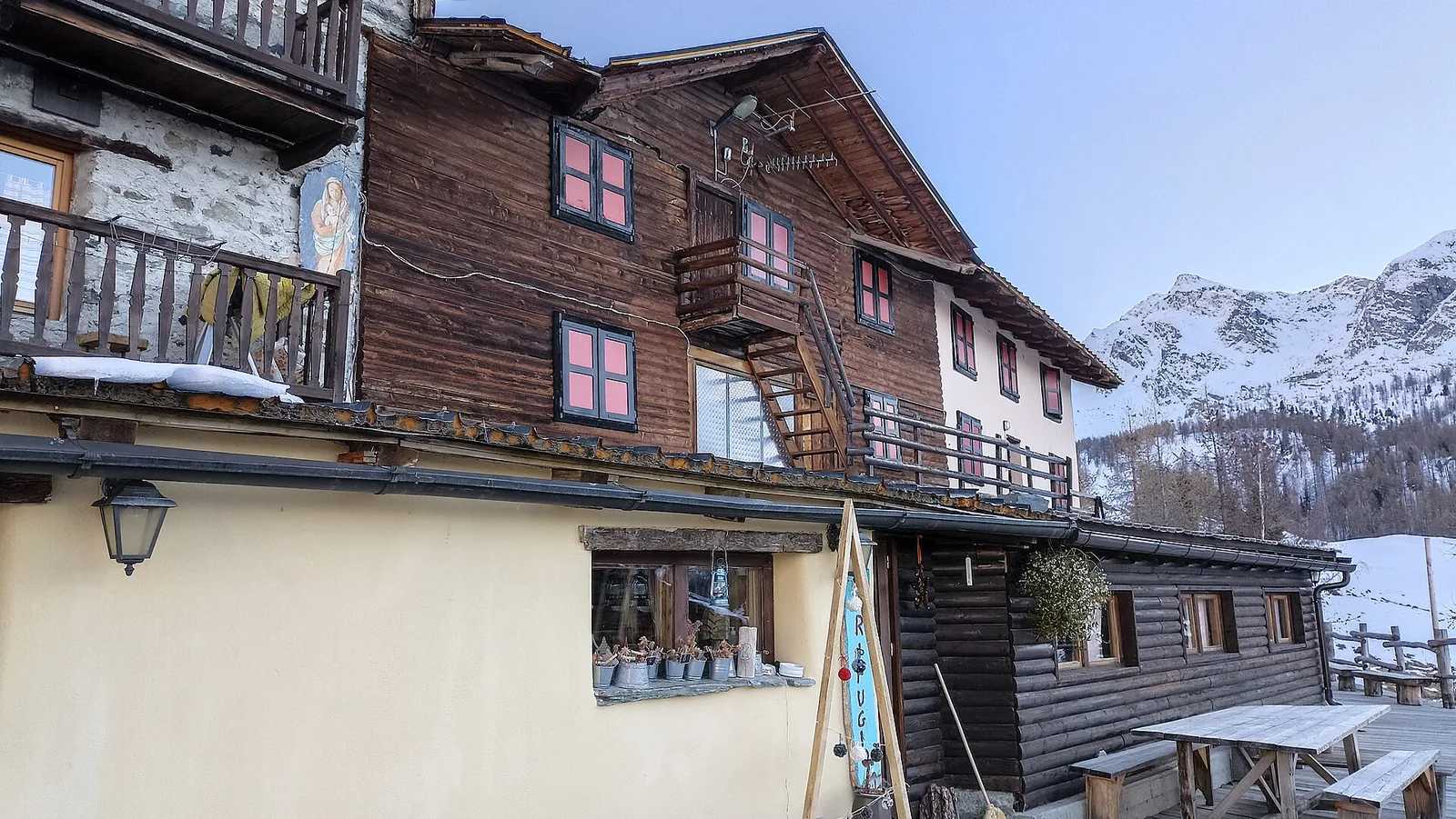
From Résy, a cluster of huts at 2,085 metres reached on foot from Saint-Jacques, the path climbs firmly to the small lakes of the same name at 2,569 metres. In under three kilometres it gains more than five hundred metres of height: a sustained gradient, but on hiking terrain among pastures, rhododendrons and scattered larches. Résy is one of the best-known balconies of Val d'Ayas, looking onto the Aosta Valley face of Monte Rosa, and the lakes above the alp open a wide, quiet view, their water mirroring ridges and snowfields. A short, rewarding outing, ideal in summer; the grassy ground and steeper sections call for boots and a little fitness.
Getting there
Parking
Photo gallery
Photos are published immediately. JPG/PNG/WebP, max 6 MB.
Flora along the trail
Wildlife to spot
ACurated and verified by Andrea Rama
Data source: Catasto Sentieri Regione Autonoma VdA · Open data — DGR 899/2014
Last verified:
Val d'Ayas
Related trails
Same valley or similar routes — more hikes to explore.
Val d'Ayas
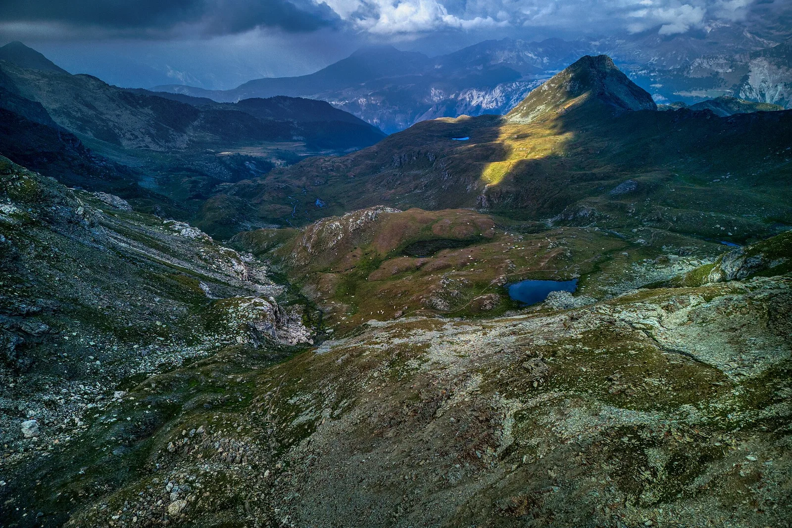
Amponey - Becca Trecare
A demanding EE ascent from Amponey to Becca Trecare at 3032m — nearly 1500m of gain on varied terrain with sweeping summit views.
Val d'Ayas
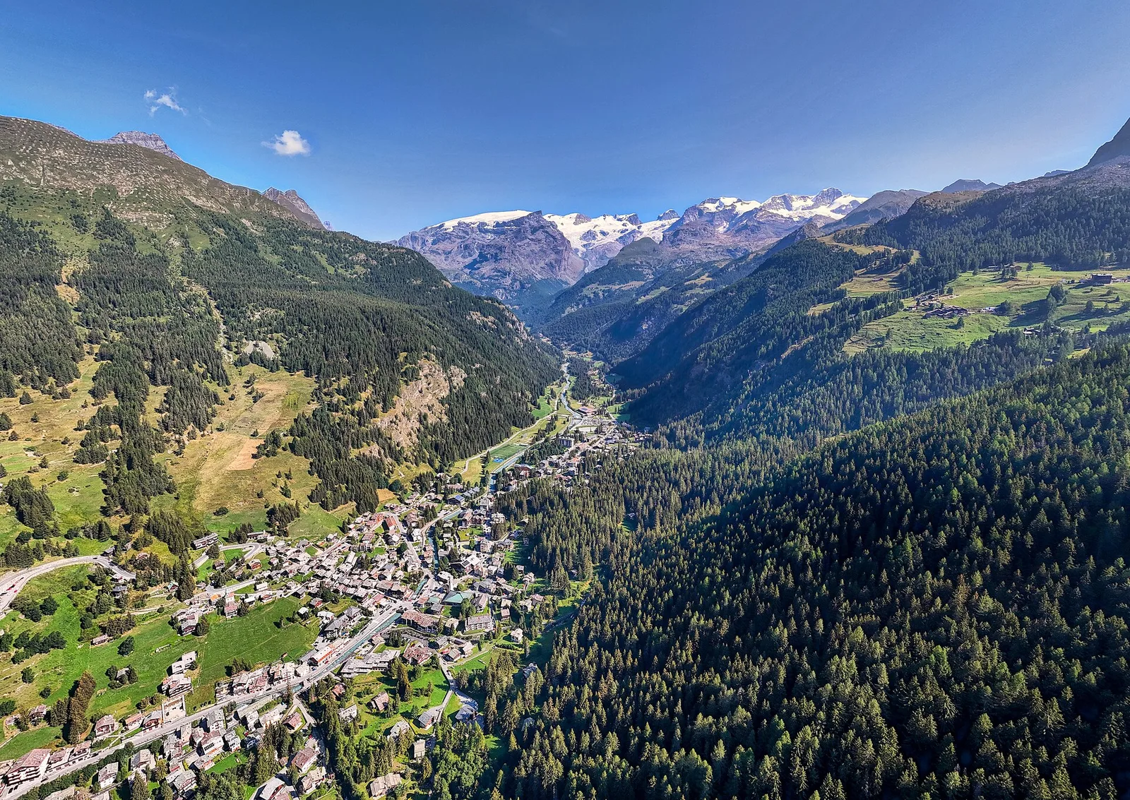
Amponey - Alpe Mascognaz
1.8 km · +309 m · E — from Amponey to Alpe Mascognaz (Central Valley).
Val d'Ayas
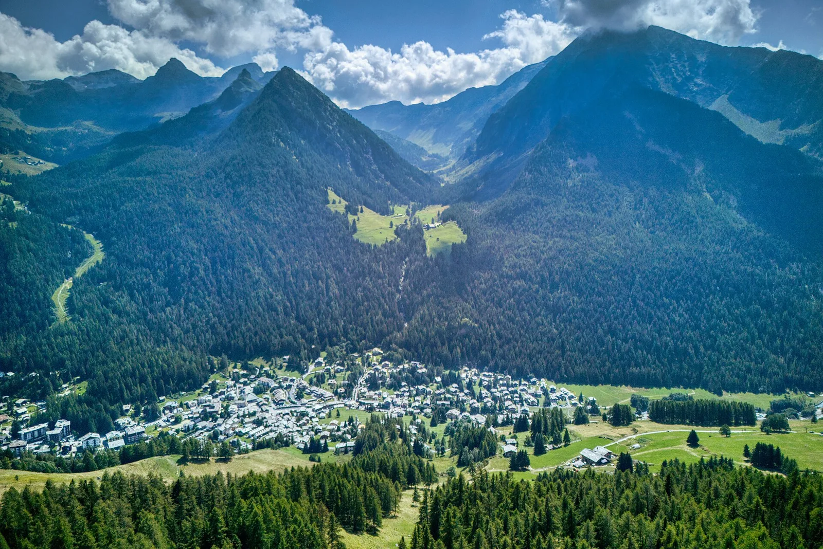
Amponey - Bec de Nannaz
In the Val d'Ayas, Ayas: an E-rated climb toward a high-altitude objective through pastures and rock with views of Monte Rosa.
Val d'Ayas
Amponey - Mont Facebelle
In the Val d'Ayas, Ayas: an E/EE-rated climb toward a high-altitude objective in the alpine landscape.