E
Valle centrale
Avise - Le Pré - Cerellaz
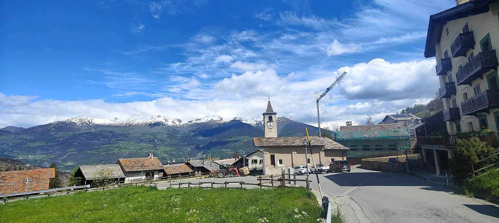
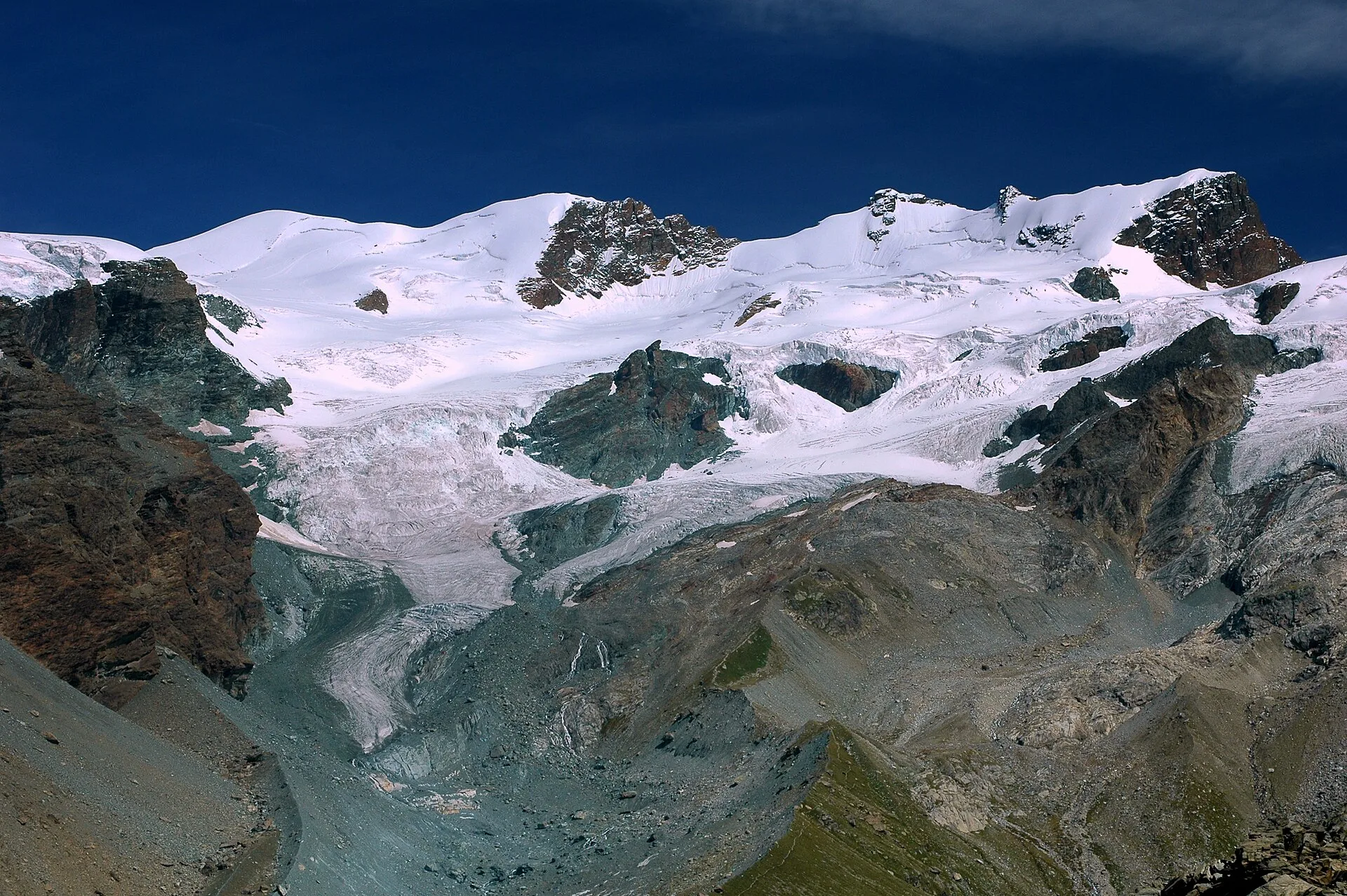
In the Valdigne, La Salle: an E-rated route through forest and pasture with views of Mont Blanc.
3.7 km+470 m2 h
Where to spot
35 trails where Holly is listed in flora/fauna: difficulty T–E, elevation gain 0–1737 m.
35 · 0.1–19.4 km · +0–1737 m
Valle centrale
In the Valdigne, La Salle: an E-rated route through forest and pasture with views of Mont Blanc.

Bassa Valle
1.2 km · +284 m · E — from Barme to Omens (Valtournenche).
Valtournenche
0.1 km · +840 m · E — from Bedeugaz to Plau (Central Valley).
Valle centrale
1.7 km · +275 m · E — from Bourg de Chambave to Chateau de Cly (Valtournenche).
Bassa Valle
1.5 km · +312 m · E — from Bourg to Peredrette (Valtournenche).
Bassa Valle
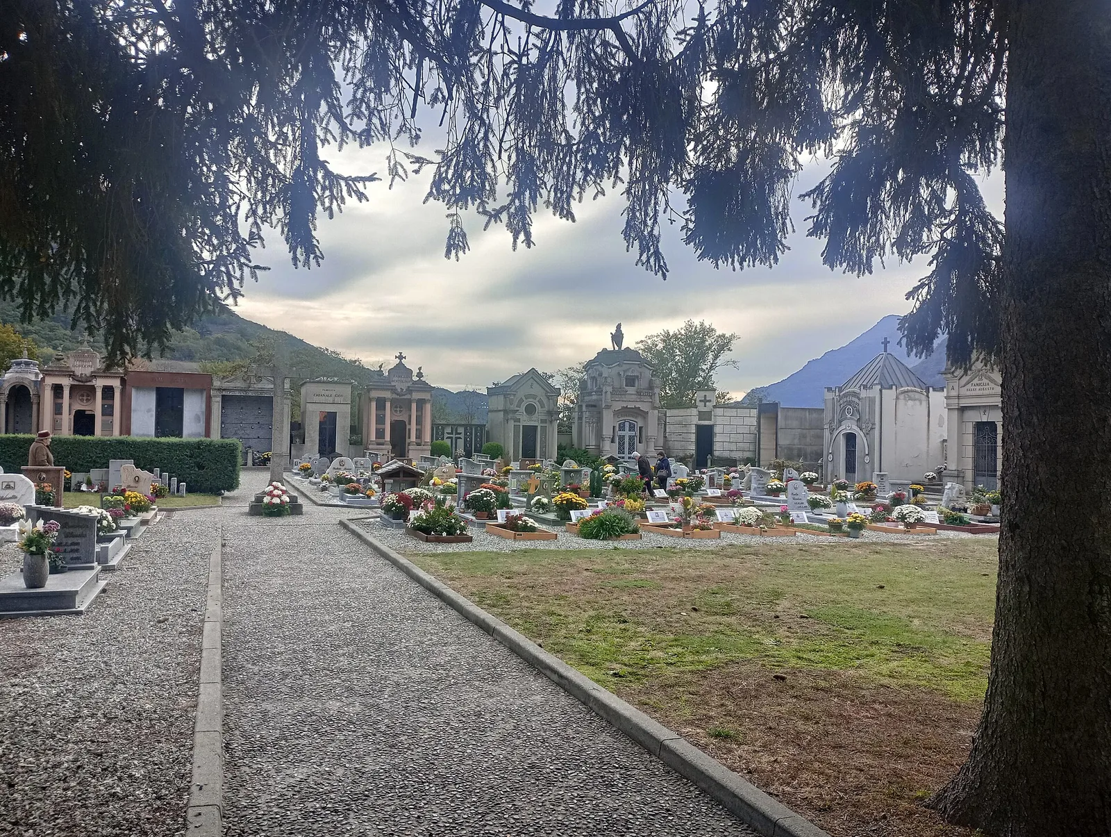
2.4 km · +471 m · E — from Cappella Sant'Erasmo to Reserve Naturelle de Holay (Central Valley).
Valle centrale
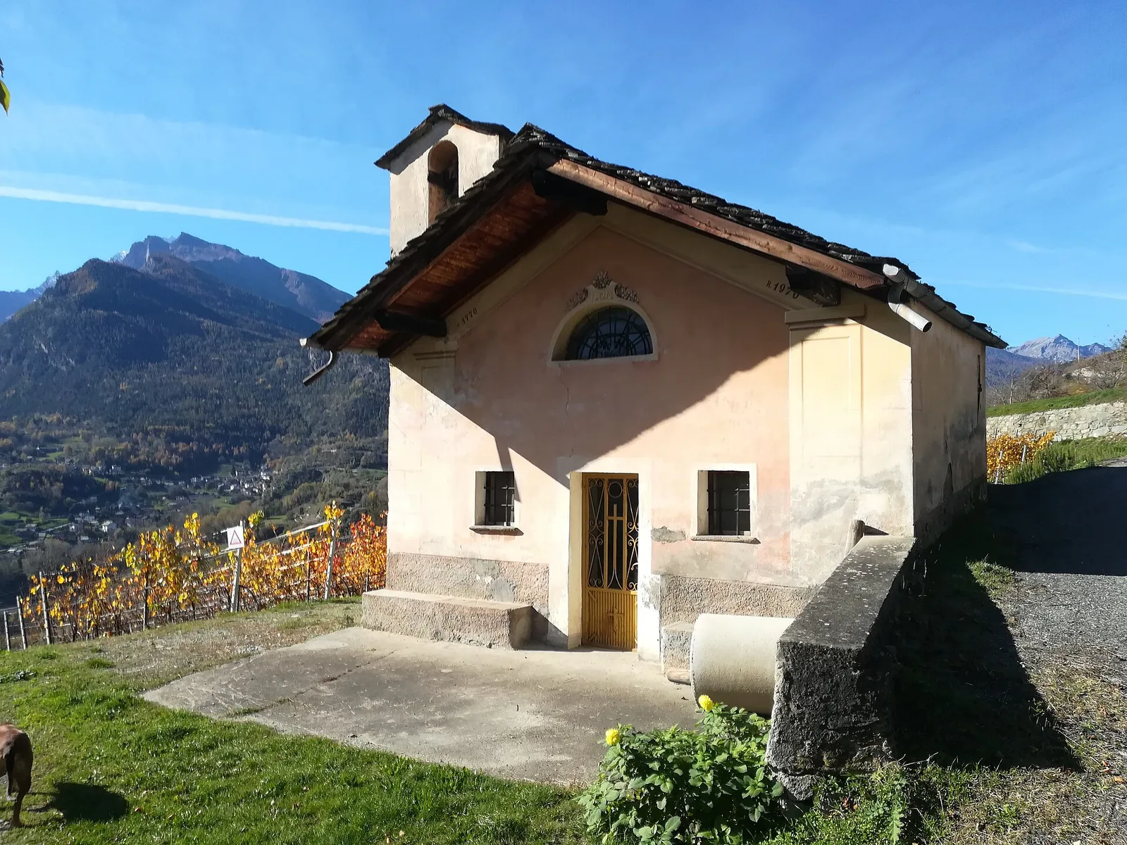
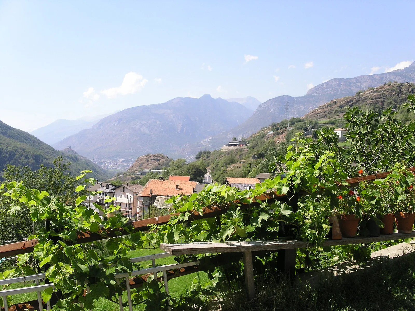
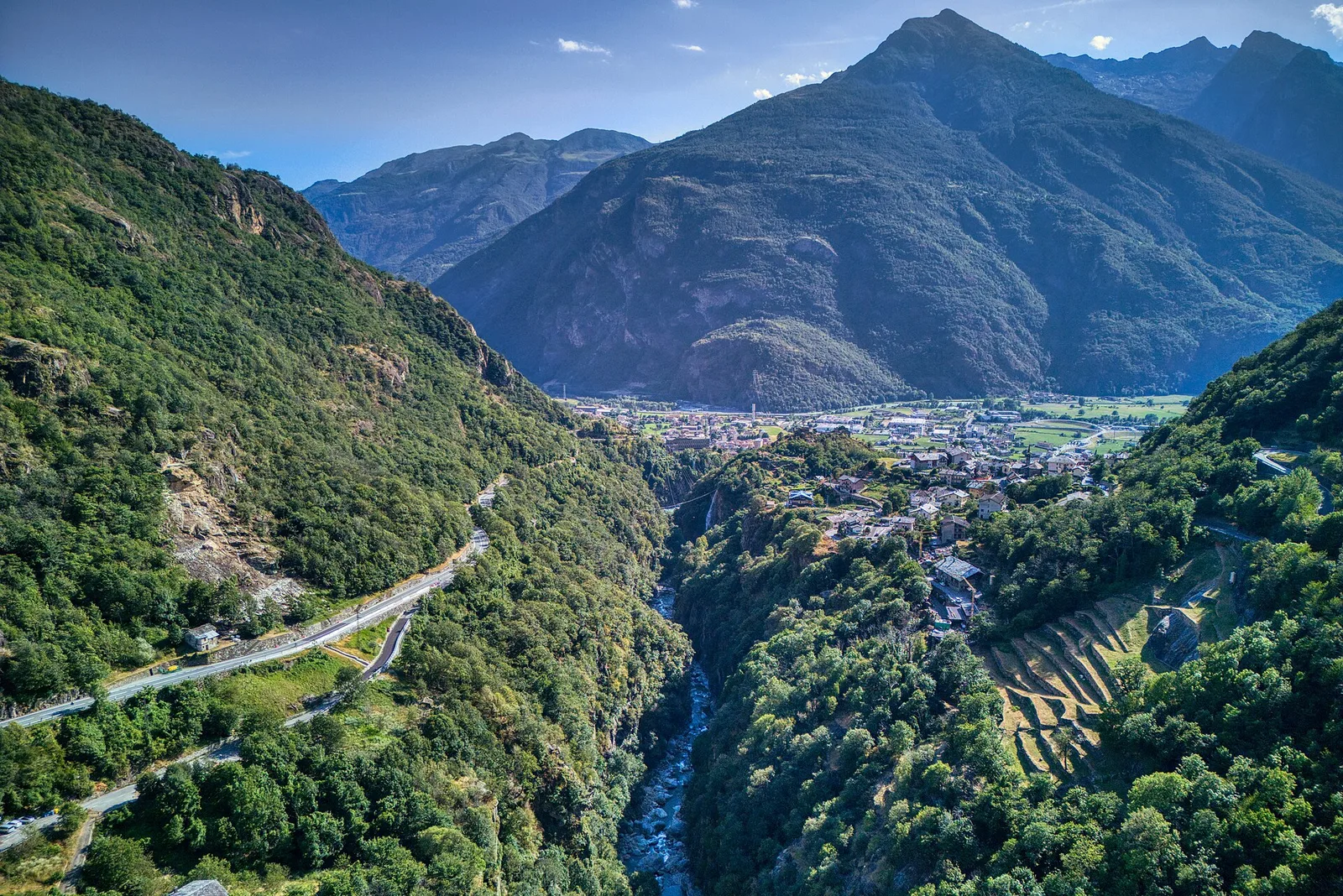
From Champsolin to Serignan (1190 m) through terraced vineyards and rural hamlets: the trail that tells the story of Val di Cogne's wine landscape.
Valle centrale
2.7 km · +88 m · E — from Domianaz to Isseuries (Valdigne).
Val d'Ayas
0.4 km · +0 m · E — from Erésaz to Grand Hoel (Great St Bernard Valley).

Valle centrale
1.4 km · +164 m · E — from Feilley to Moron (Valtournenche).
Valtournenche
1.6 km · +13 m · E — from Grand Moulin to Poutaz (Valtournenche).
Bassa Valle
4.3 km · +659 m · E — from Chiesa di San Giorgio to Biel (Valsavarenche).
Valle del Lys
4.3 km · +92 m · E — from Capoluogo to Gaby (Ayas Valley).
Valle centrale
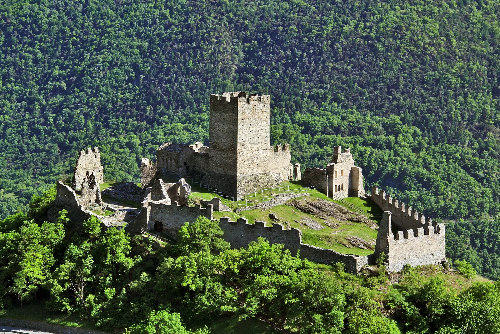
2 km · +207 m · E — from La Ravoire to Castello di Montmayeur (Valgrisenche).
Valle centrale
2.2 km · +263 m · E — from Liveroulaz to Chaillod (Central Valley).
Valpelline
0.5 km · +135 m · E — from Località Champette to innesto sentiero 6 A (Valtournenche).
Valle centrale
2 km · +461 m · E — from Moulin to Gorettaz (Lys Valley).
Valle del Lys
3.7 km · +790 m · E — from Nantay to Ruine damon (Central Valley).
Valle centrale
1.2 km · +140 m · E — from Nus to Chateau de Nus (Valpelline).
Bassa Valle
1.3 km · +111 m · E — from Rovarey to Croce della Missione (Valtournenche).
Valle centrale
4.2 km · +778 m · E — from Perron to Cretes (Lys Valley).
Valle centrale
1.8 km · +355 m · E — from Pingaz to Novellioz (Valtournenche).
Valle centrale
1.5 km · +190 m · T — from Ponte Romano to Moron (Valtournenche).
Valle centrale
4.5 km · +640 m · E — from Pré Saint-Didier to Elevaz (Rhêmes Valley).
Valle centrale
In the lower Val d'Ayas, Challand-Saint-Victor: an E-rated climb through vineyards, forest and terraced land toward historic hamlets.
Valle del Gran San Bernardo
10.4 km · +67 m · E — from Reysod to Etroubles (Central Valley).
Valtournenche
1.8 km · +14 m · E — from Confine comunale to Confine comunale (Central Valley).
Bassa Valle
2.4 km · +355 m · E — from Strada to Omens (Valtournenche).
Bassa Valle
12.9 km · +1737 m · E — from Bourg to Sassa (Valtournenche).
Valle del Gran San Bernardo
19.4 km · +524 m · E — from Nus to Roisan (Valpelline).
Val d'Ayas
3.2 km · +288 m · E — from Tilly to Mayn (Ayas Valley).
Val d'Ayas
1.6 km · +382 m · E — from Valyre to Salirod (Valtournenche).
Val d'Ayas
3.3 km · +600 m · E — from Ponti Romani to Tron damon (Ayas Valley).
Valle centrale
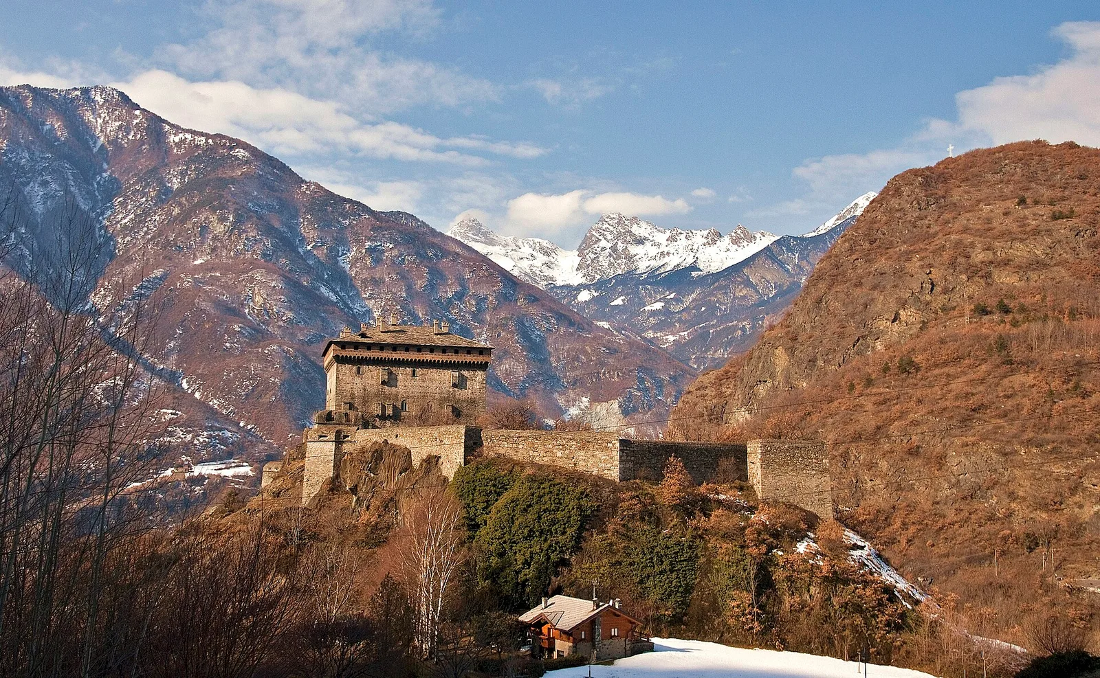
2.4 km · +196 m · E — from Villair to Château de Châtelard (Central Valley).

Val d'Ayas
0.5 km · +86 m · E — from — to — (Ayas Valley).