
EE
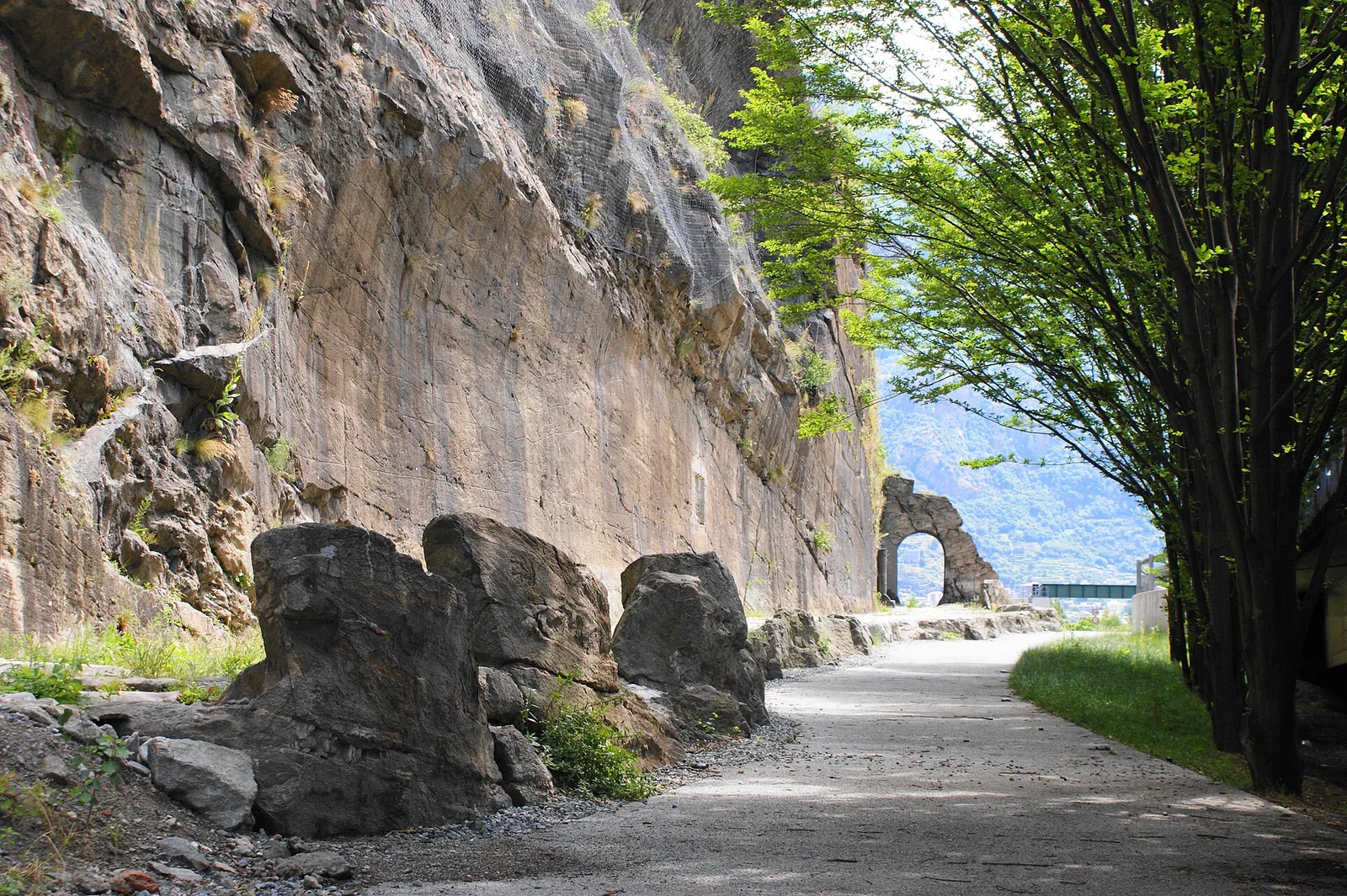
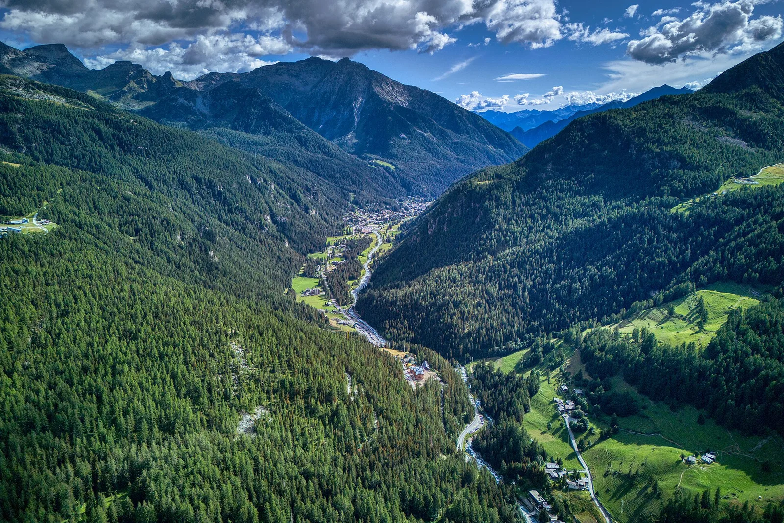
Valle centrale
Amponey - Bec de Nannaz
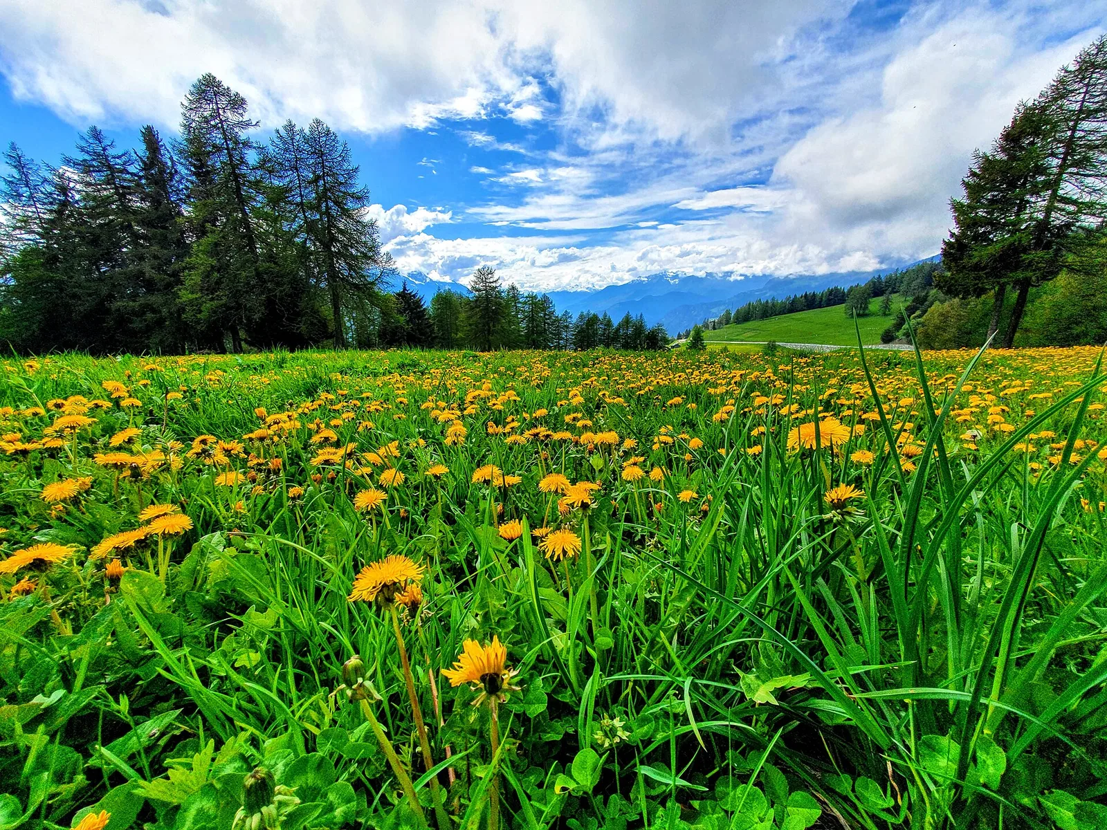
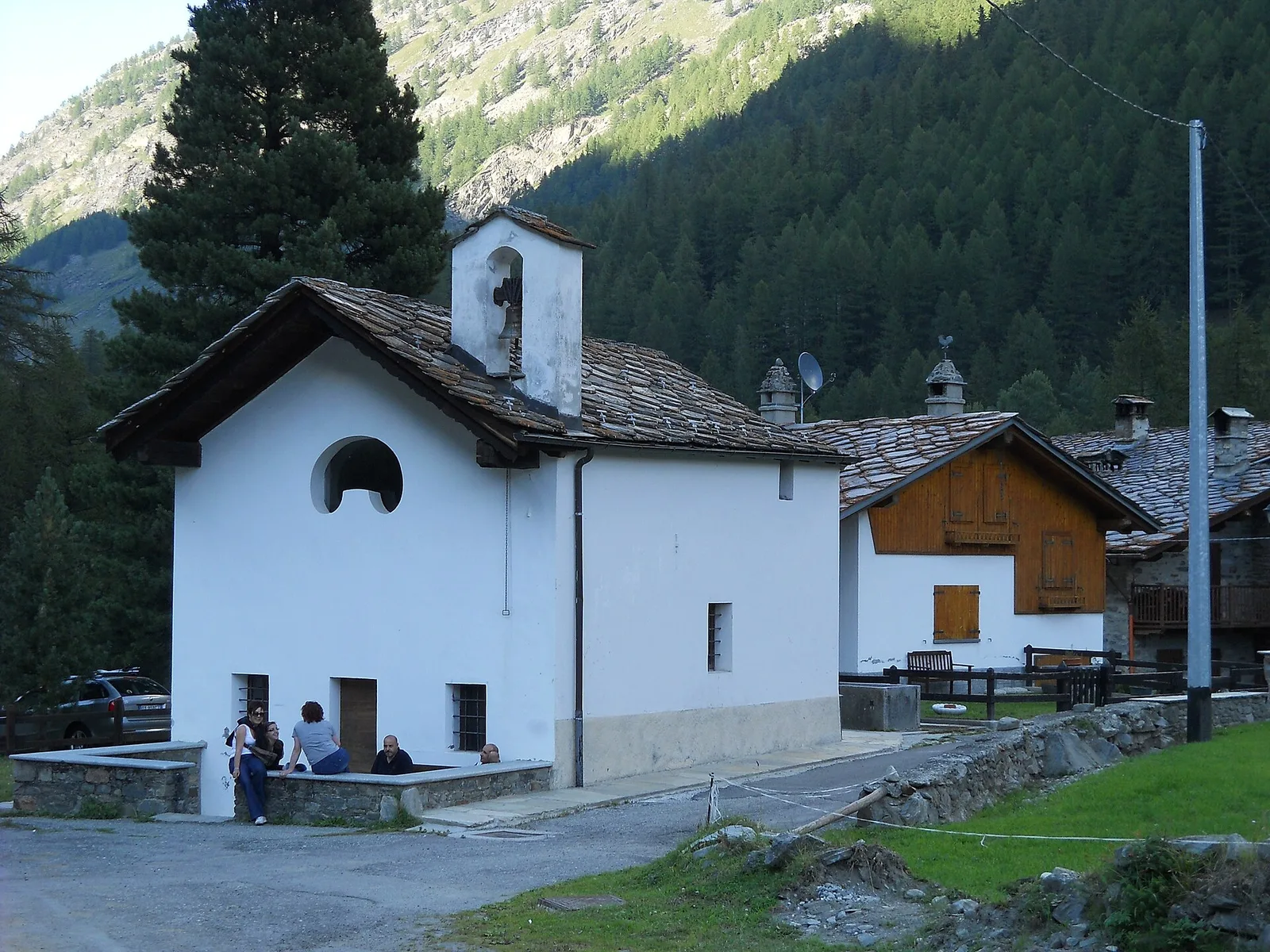
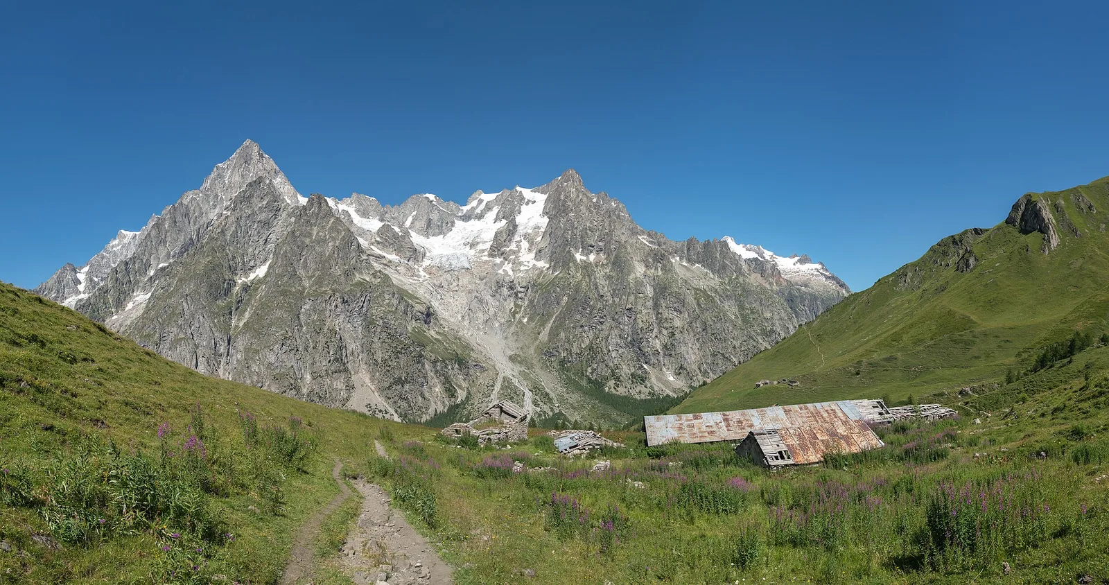
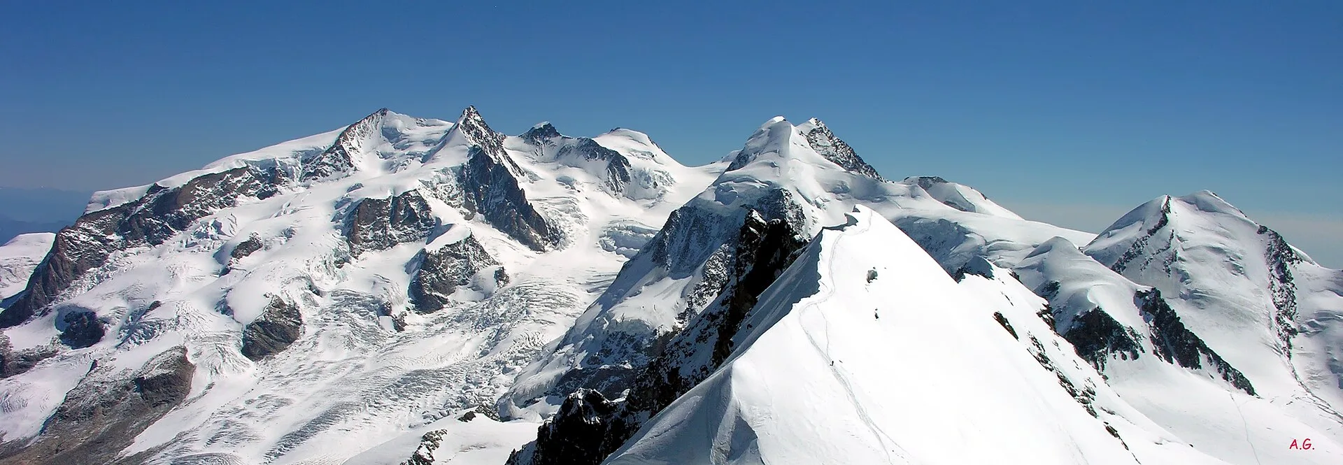
In the Val d'Ayas, Ayas: an E-rated climb toward a high-altitude objective through pastures and rock with views of Monte Rosa.
6.2 km+1467 m5 h
Where to spot
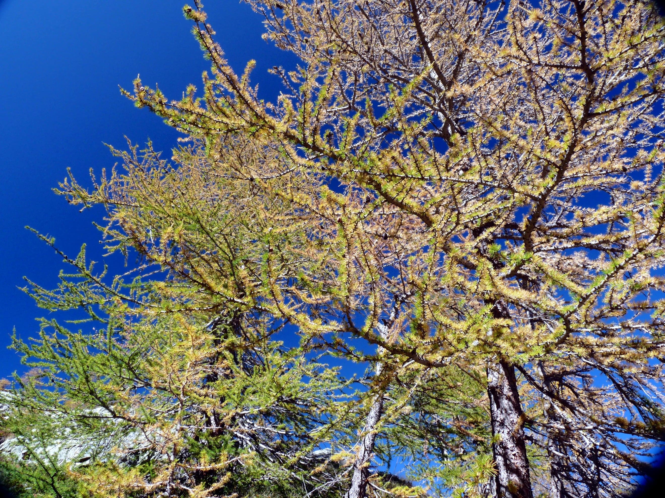
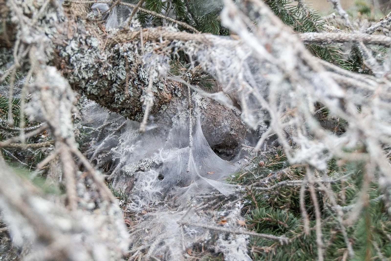
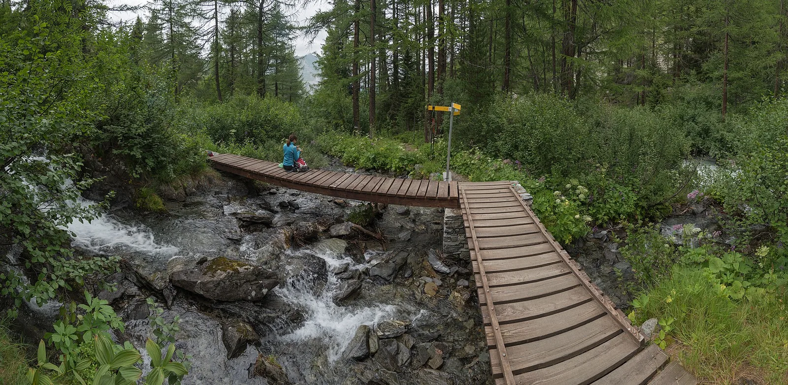
68 trails where Narcissus anemone is listed in flora/fauna: difficulty E–EE, elevation gain 0–1766 m.
68 · 1.6–13.6 km · +0–1766 m
Valle centrale
In the Val d'Ayas, Ayas: an E-rated climb toward a high-altitude objective through pastures and rock with views of Monte Rosa.
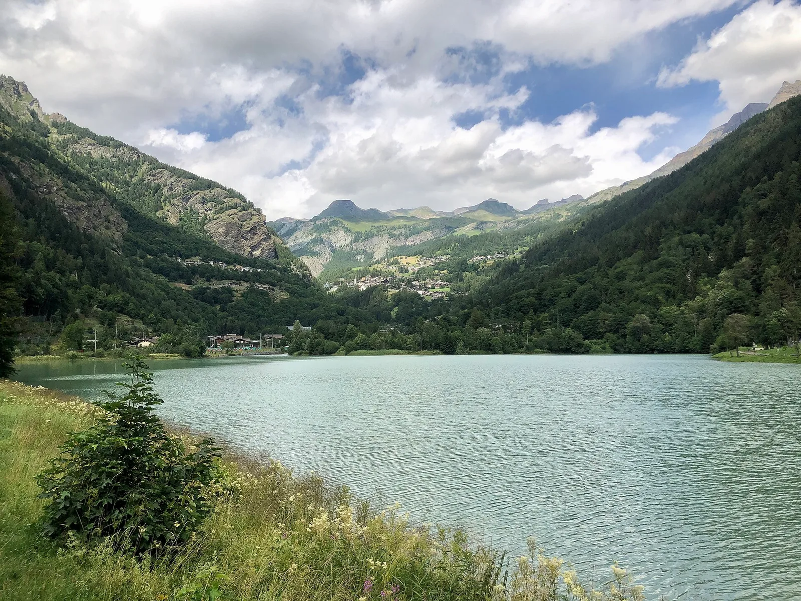
Val d'Ayas
3.8 km · +608 m · E — from Arbaz to Tete de Comagne (Ayas Valley).

Valle centrale
2.7 km · +484 m · E — from Arsines to Col Fenetre (Central Valley).

Valle del Lys
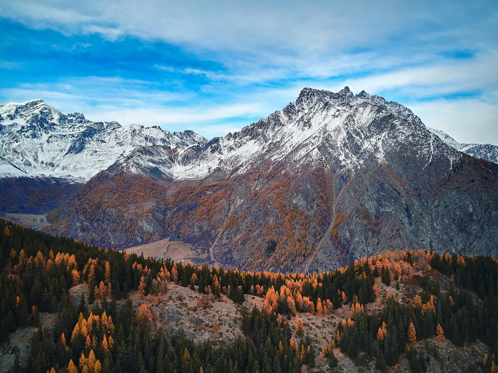
In the commune of Cogne, Gran Paradiso National Park: a climb toward a high-altitude objective in an environment of exceptional natural quality.
Valtournenche
4.7 km · +534 m · E — from Bivio strada per Grand Alpe to Lac Saint-Grat (Valtournenche).
Valle centrale
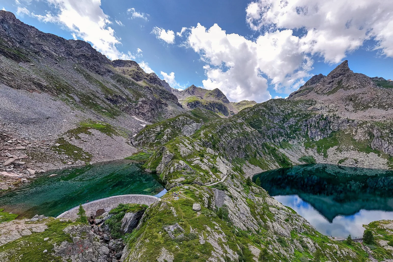
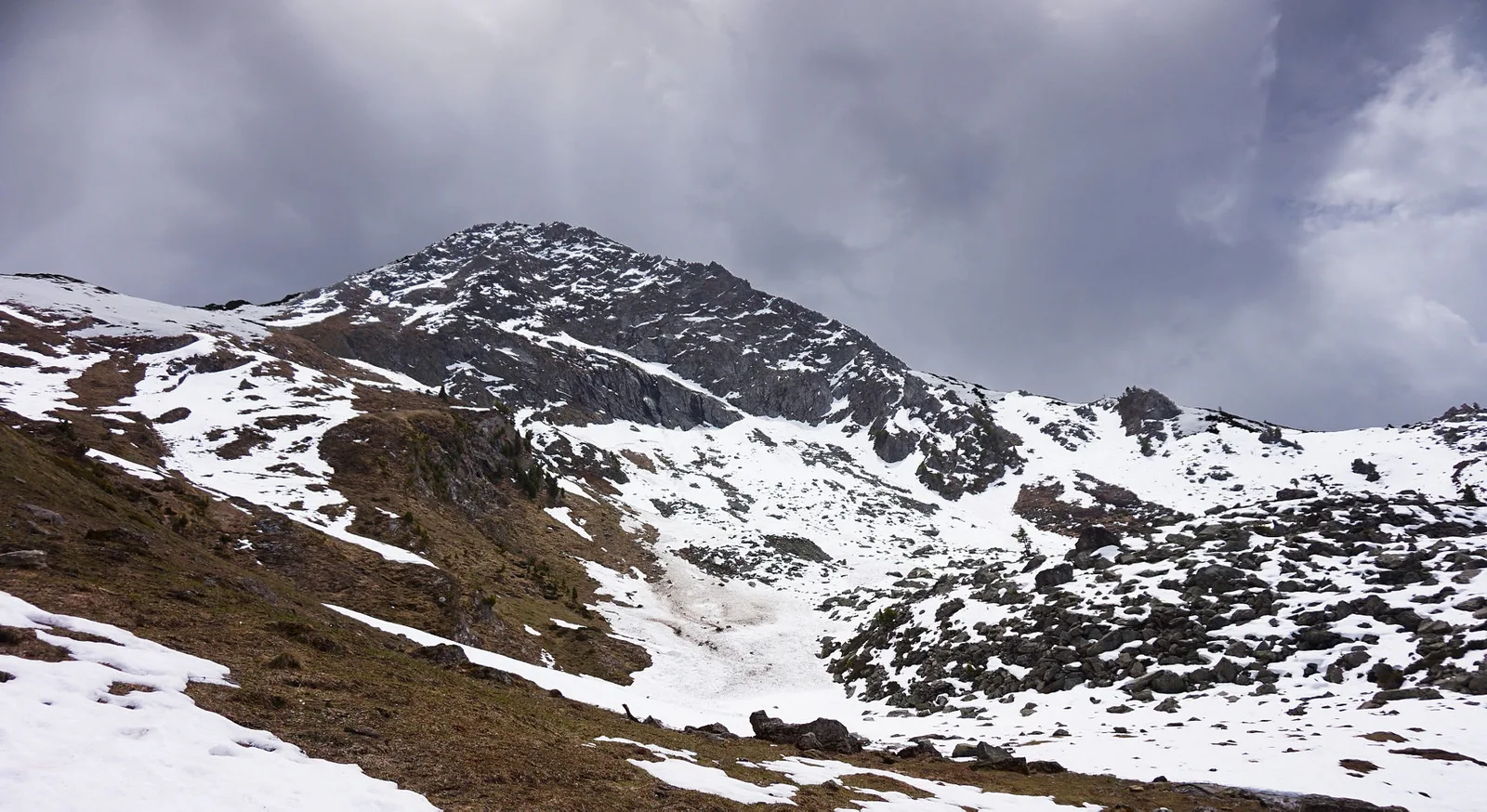
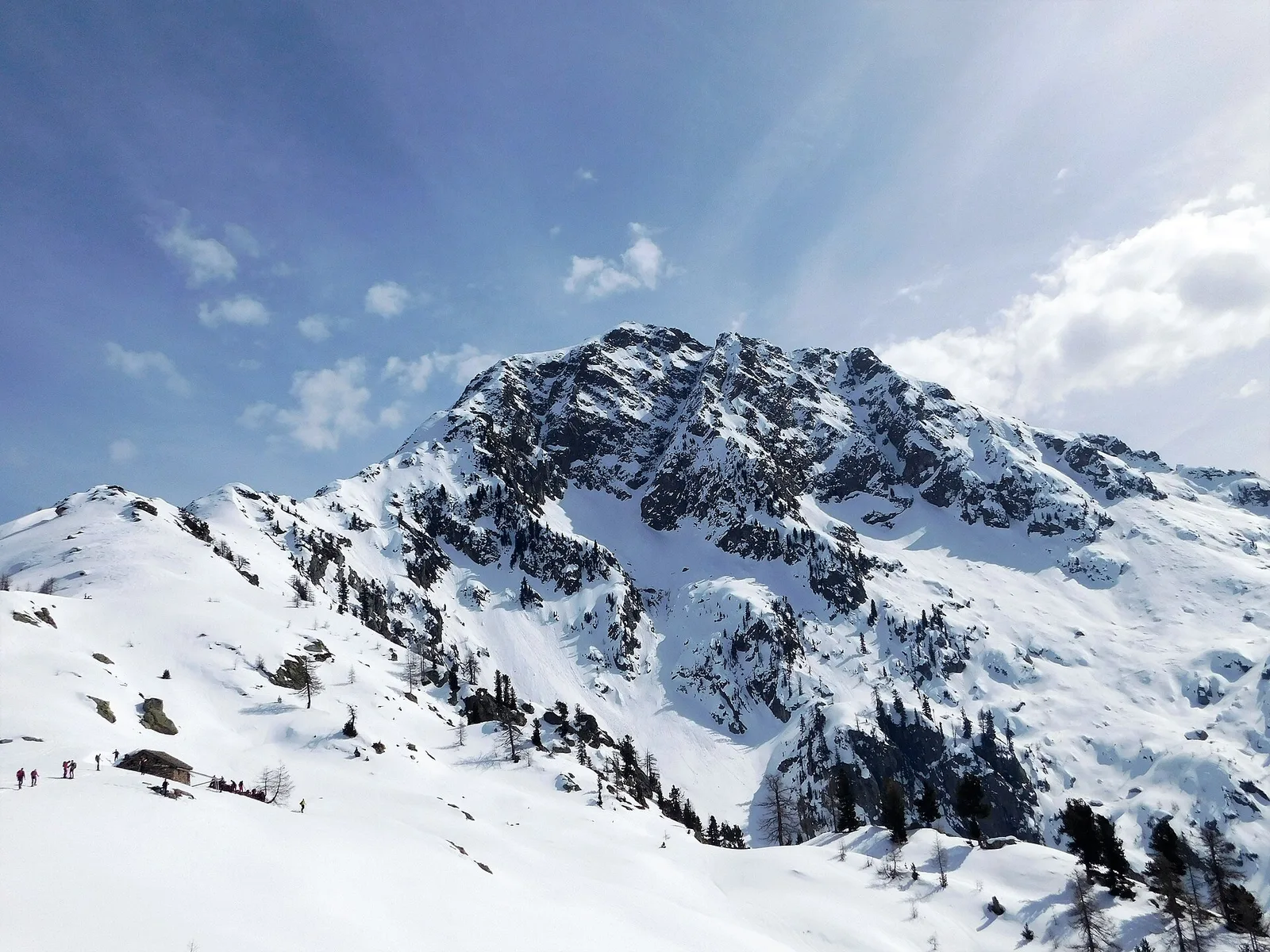
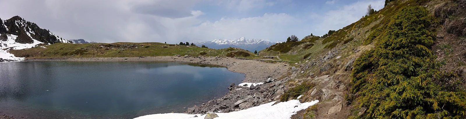
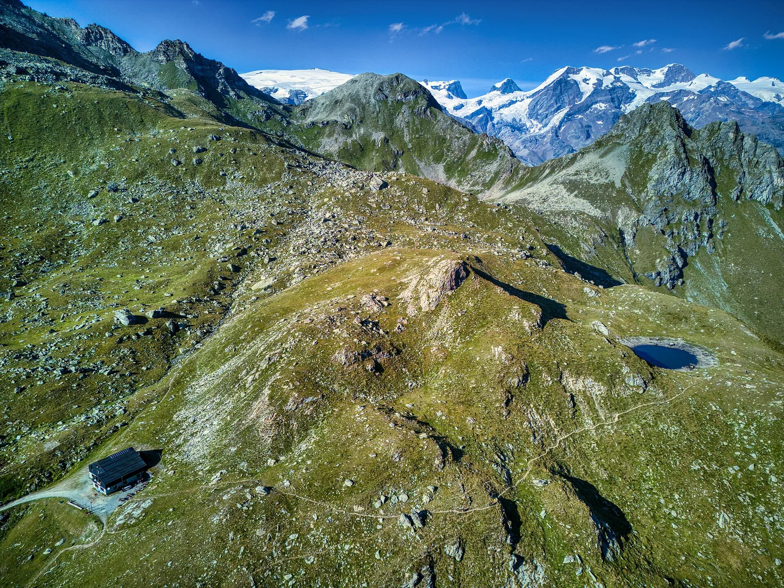
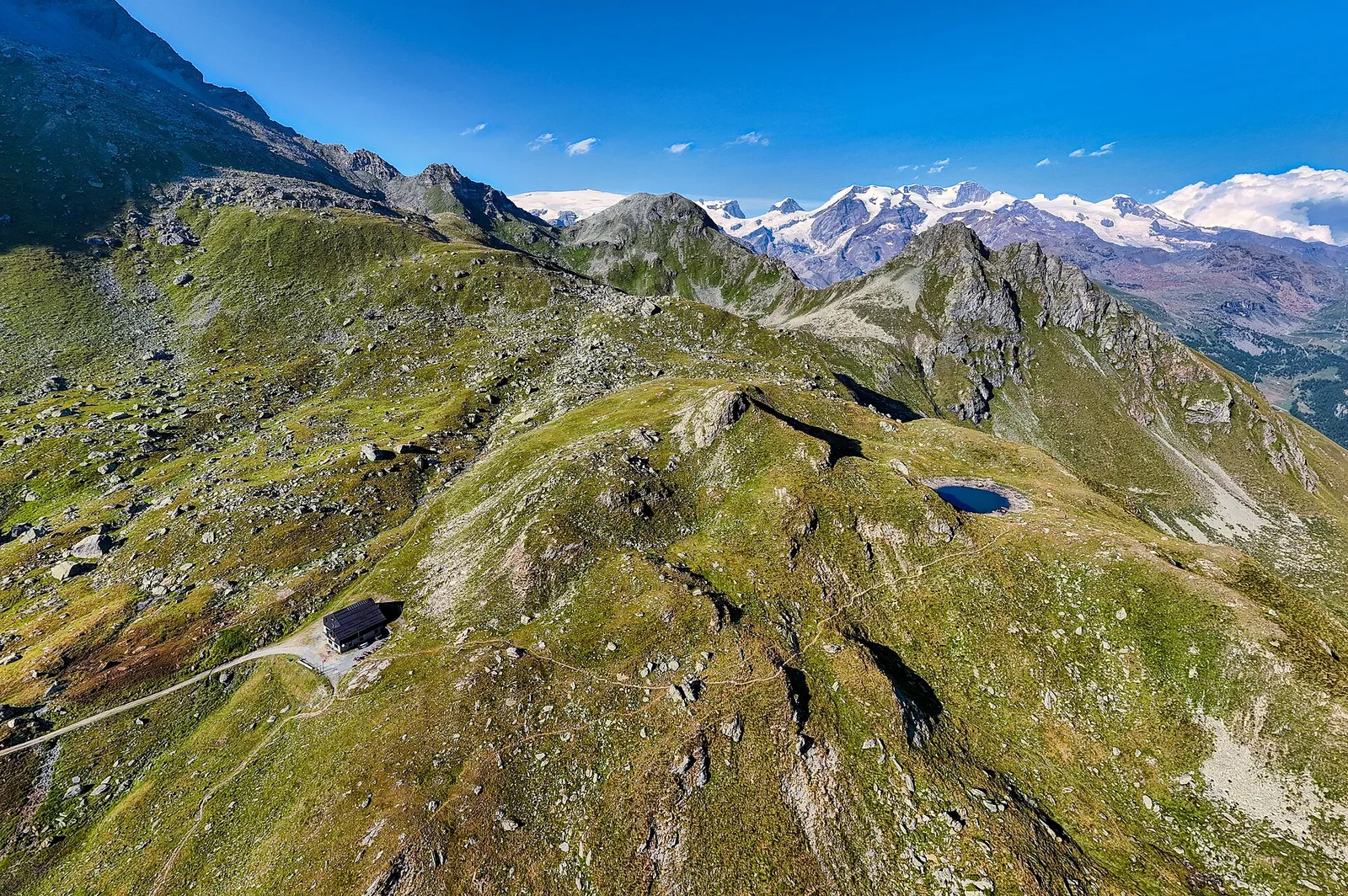
In the Vallone delle Cime Bianche, commune of Ayas: an EE route among glacial lakes and high alpine meadows.
Val d'Ayas
Upper Val d'Ayas, Brusson: a route toward a panoramic objective over open terrain.
Valle del Gran San Bernardo
2.9 km · +551 m · E — from Carré to Chaussettaz (Great St Bernard Valley).
Valle centrale
3.8 km · +903 m · E — from Castagnot to Colle d'Arcomy (Central Valley).
Valtournenche
6.8 km · +1044 m · E — from Chardonney to Cimetta Rossa (Valtournenche).
Valtournenche
6.7 km · +665 m · E — from Chardonney to parcheggio Dondena (Valtournenche).

Valtournenche
4.8 km · +647 m · E — from Chardonney to Parcheggio Dondena (Sentiero Scalette) (Valtournenche).
Valtournenche
2.4 km · +458 m · E — from Col de Joux to Testa di Comagna (Valtournenche).
Val di Cogne
4.8 km · +1024 m · E — from Comboé (Comboué) to Becca di Nona (Cogne Valley).
Val d'Ayas
2.5 km · +549 m · E — from Degioz to Bocconère (Ayas Valley).
Valtournenche
4.2 km · +900 m · E — from Doues-Planavilla to Plan du Débat (Valtournenche).
Valle del Gran San Bernardo
7.2 km · +710 m · E — from Druges to Plan Rué (Great St Bernard Valley).
La Thuile
4.8 km · +623 m · E — from Echarlod to Morges (La Thuile).

Val di Rhêmes
7 km · +1459 m · E — from Elevaz to Mont-Crammont (Rhêmes Valley).
Val di Rhêmes
6.8 km · +797 m · E — from Elevaz to Plan Praz (Rhêmes Valley).
Valpelline
8 km · +512 m · E — from Etirol to Château (Valpelline).

Valpelline
11.4 km · +1433 m · EE — from Etirol to Col de Chavacour (Valpelline).
Valle centrale
6.5 km · +1376 m · E — from Etroubles to Col Champillon (Central Valley).
Valle del Lys
13.6 km · +1159 m · E — from Faubourg to Col des Chavannes (Lys Valley).
Valle centrale
1.6 km · +255 m · E — from Fiéry to Résy (Central Valley).
Valle del Lys
7.8 km · +1429 m · E — from Capoluogo to Col de Gragliasca (Lys Valley).
Valtournenche
5.7 km · +0 m · E — from Parcheggio Dondena to Lac Muffé (Valtournenche).
Valpelline
5 km · +1117 m · E — from Glacier to Bivacco Rosazza/Savoie (Valpelline).

Valtournenche
2.7 km · +540 m · EE — from Gontier to Col d'Arcomy (Valtournenche).
Valle del Gran San Bernardo
1.6 km · +332 m · E — from La Remisa to Rif . Bonatti (Great St Bernard Valley).
Valle del Gran San Bernardo
6 km · +829 m · E — from La Remisa to Pas-Entre-Deux-Sauts (Great St Bernard Valley).
Valle del Lys
6.6 km · +790 m · E — from Joux to Laghi di Bella Comba (Lys Valley).
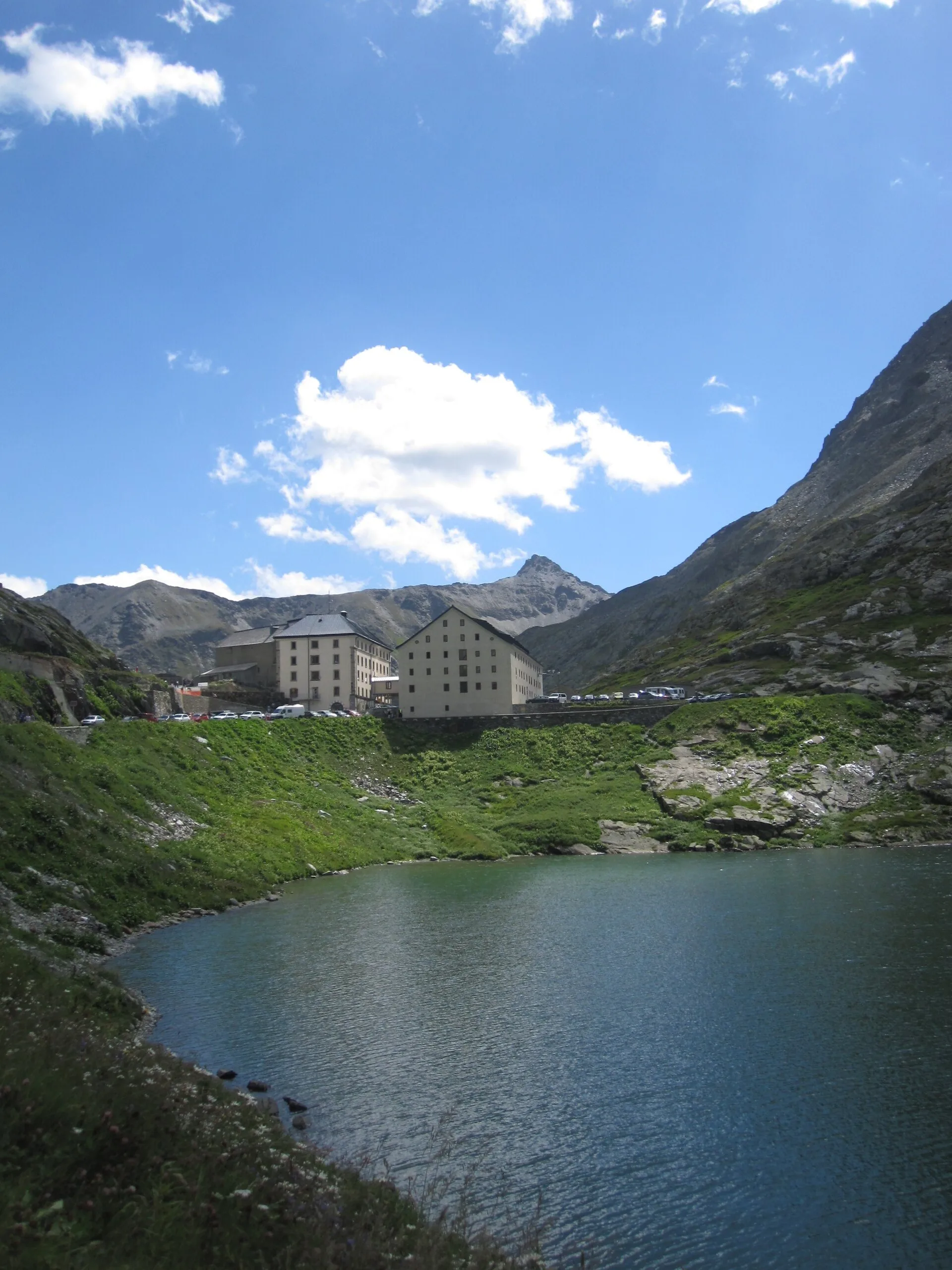
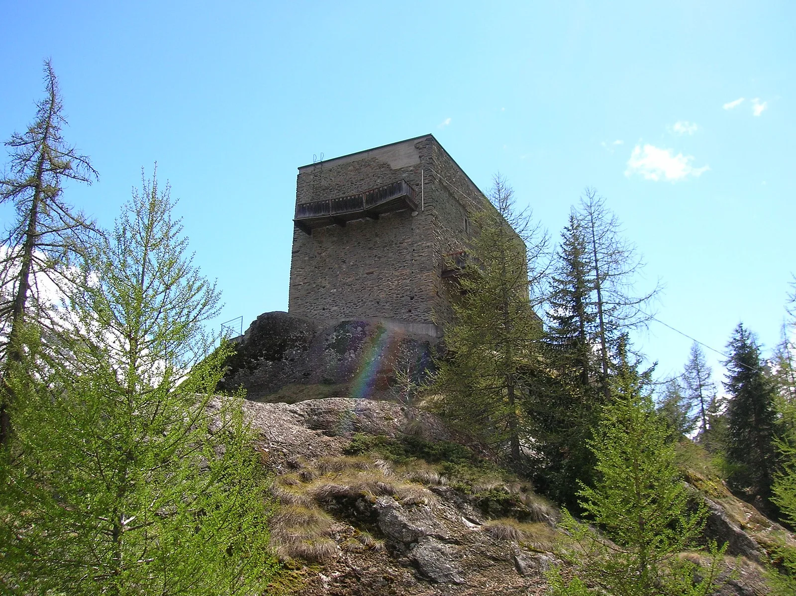
Valpelline
From Lessert (1,618 m) to the Col de Crête Sèche (2,898 m) in the Valpelline: 6.5 km and 1,330 m to a high pass on the Swiss border.
Valle centrale
2 km · +449 m · E — from Loz (parcheggio) to Alpe Mandaz Inferiore (Central Valley).
Valtournenche
9.5 km · +1766 m · E — from Monteil to Col Pousseuil (Valtournenche).
Valtournenche
3.9 km · +1035 m · E — from Monteil to Montat (Valtournenche).
Valle centrale
3.7 km · +759 m · E — from Moulin Dessous to Cortinaz Damon (Central Valley).
Valle del Gran San Bernardo
3.9 km · +952 m · EE — from Niel to Punta dei Tre Vescovi (Great St Bernard Valley).
Valpelline
8.2 km · +1324 m · E — from Nus to Issologne (Valpelline).
Valtournenche
3.6 km · +853 m · E — from Outre l'Eve to Mont Digny (Valtournenche).
Valtournenche
5.5 km · +892 m · E — from Outre l'Eve to Pian Ciampaney (Valtournenche).
Valle del Lys
4.5 km · +643 m · E — from Parcheggio Area camper to Souches (Lys Valley).
Valle del Lys
6.3 km · +643 m · E — from Parcheggio Area camper to Souches (Lys Valley).
Valle del Lys
4.2 km · +778 m · E — from Perron to Cretes (Lys Valley).

Valle del Lys
5.8 km · +839 m · E — from Pila, Gorraz to Piatta-de-Greuvon (Lys Valley).
Valle del Lys
4.6 km · +1151 m · EE — from Plan Coummarial to Mont Mars (Lys Valley).
Valle del Lys
6.8 km · +1318 m · E — from Ponte Vernosse to Col Vamea (Lys Valley).
Valtournenche
5.5 km · +1218 m · E — from Pramotton to Fontanet (Valtournenche).
Valle centrale
2.1 km · +96 m · E — from Résy to Plan de Véraz (Central Valley).
Valgrisenche
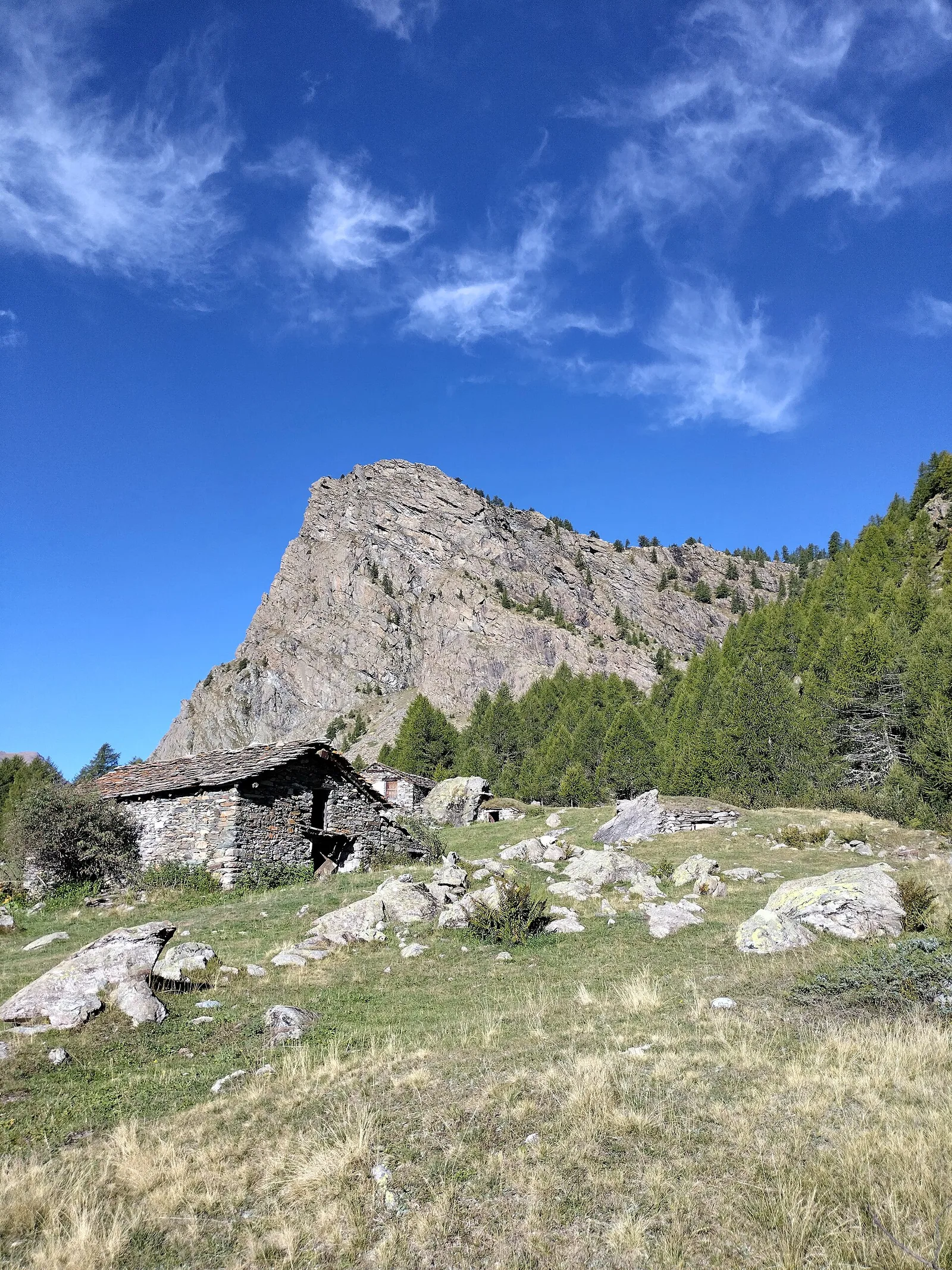
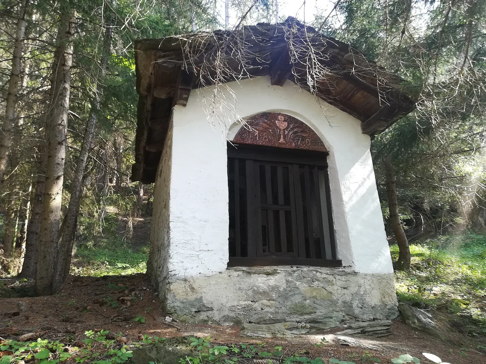
In the Valgrisenche the route climbs through forest and meadows toward upper pastures: an E-rated itinerary in the commune of Arvier.
Val di Cogne
5.1 km · +1055 m · EE — from Rifugio Arbolle to Mont-Emilius (Cogne Valley).
Valtournenche
2.8 km · +495 m · E — from Rifugio Bezzi to Lac St-Martin (Valtournenche).
Valle centrale
2.7 km · +661 m · EE — from Rifugio Grand Tournalin to Petit Tournalin (Central Valley).
Valle centrale
From Saint-Jacques (1700 m) toward the high ground of the Val d'Ayas: a route through alpine pastures with views of Monte Rosa.
Valle del Gran San Bernardo
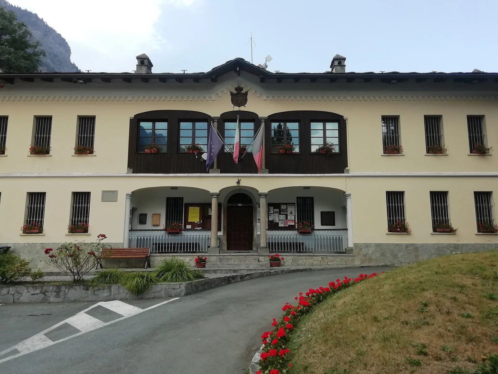
5.5 km · +738 m · E — from Capoluogo to Plan Puitz (Great St Bernard Valley).
Valle centrale
4.7 km · +880 m · E — from Sainte-Marguerite to Col de Carisey (Central Valley).
Valle centrale
2.9 km · +672 m · E — from Sarral to Champromenty (Central Valley).
Valtournenche
6.4 km · +967 m · E — from Strada Dondena to Parcheggio Dondena (Valtournenche).
Valle centrale
2.4 km · +411 m · E — from Strada Statale 27, start str militare to Plan Puitz (Central Valley).
Valle di Champorcher
12.7 km · +1425 m · E — from Capoluogo to Crest (Champorcher Valley).

Valle del Gran San Bernardo
5.1 km · +1030 m · E — from Eresaz to Tête de Comagne (Great St Bernard Valley).
Valle del Gran San Bernardo
5.1 km · +1148 m · E — from Sommarèse to Tête de Comagne (Great St Bernard Valley).
Valtournenche
5.3 km · +963 m · E — from Valgrisenche to Becca dei Quattro Denti (Valtournenche).
Valle di Champorcher
5.7 km · +1300 m · E — from Fournier to Mont Digny (Champorcher Valley).
Valle centrale
7.2 km · +1009 m · EE — from Vetan to Col Palettaz (Central Valley).

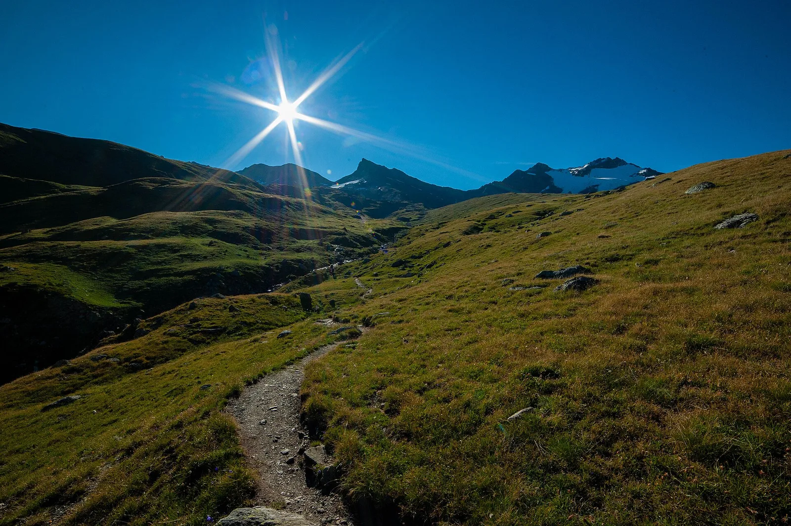
Val di Cogne
In the Val di Cogne, Aymavilles: an E-rated climb toward an objective in the Gran Paradiso National Park.
Val di Cogne
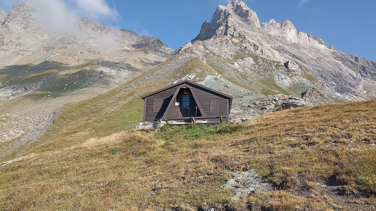
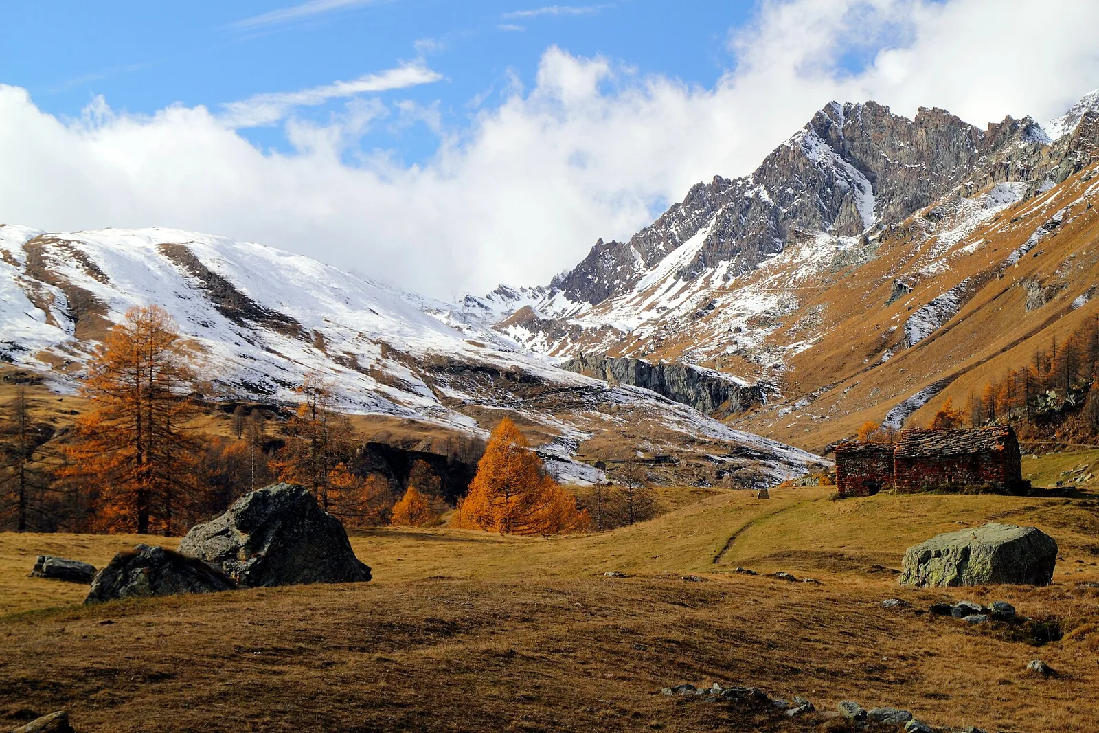
From Vieyes, trail no. 5 climbs through Val di Cogne forest and pastures to the Bivacco Mario Gontier (2302 m) on the Grand Nomenon alp: 1167 m of ascent in quiet surroundings.

Valle di Champorcher
7.1 km · +1699 m · EE — from Zer Schmettò to Bivacco Lateltin (Champorcher Valley).