E
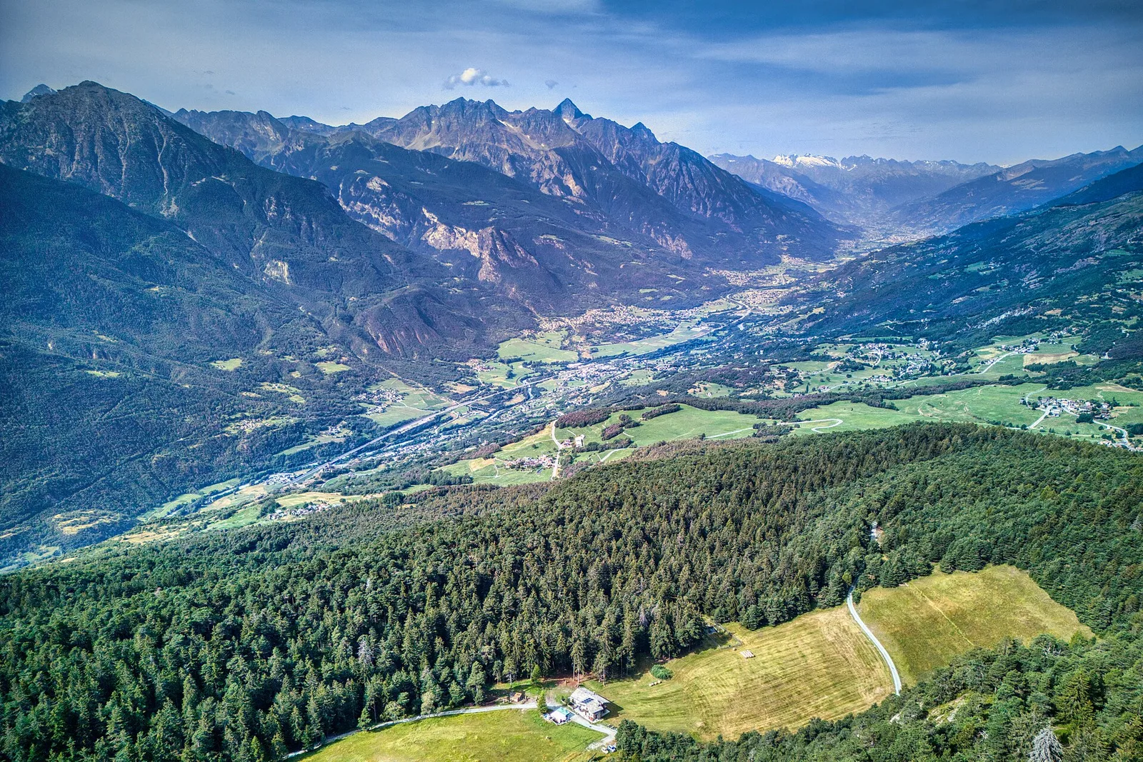
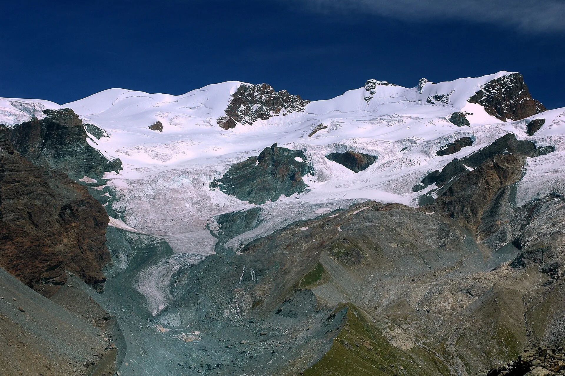
Val d'Ayas
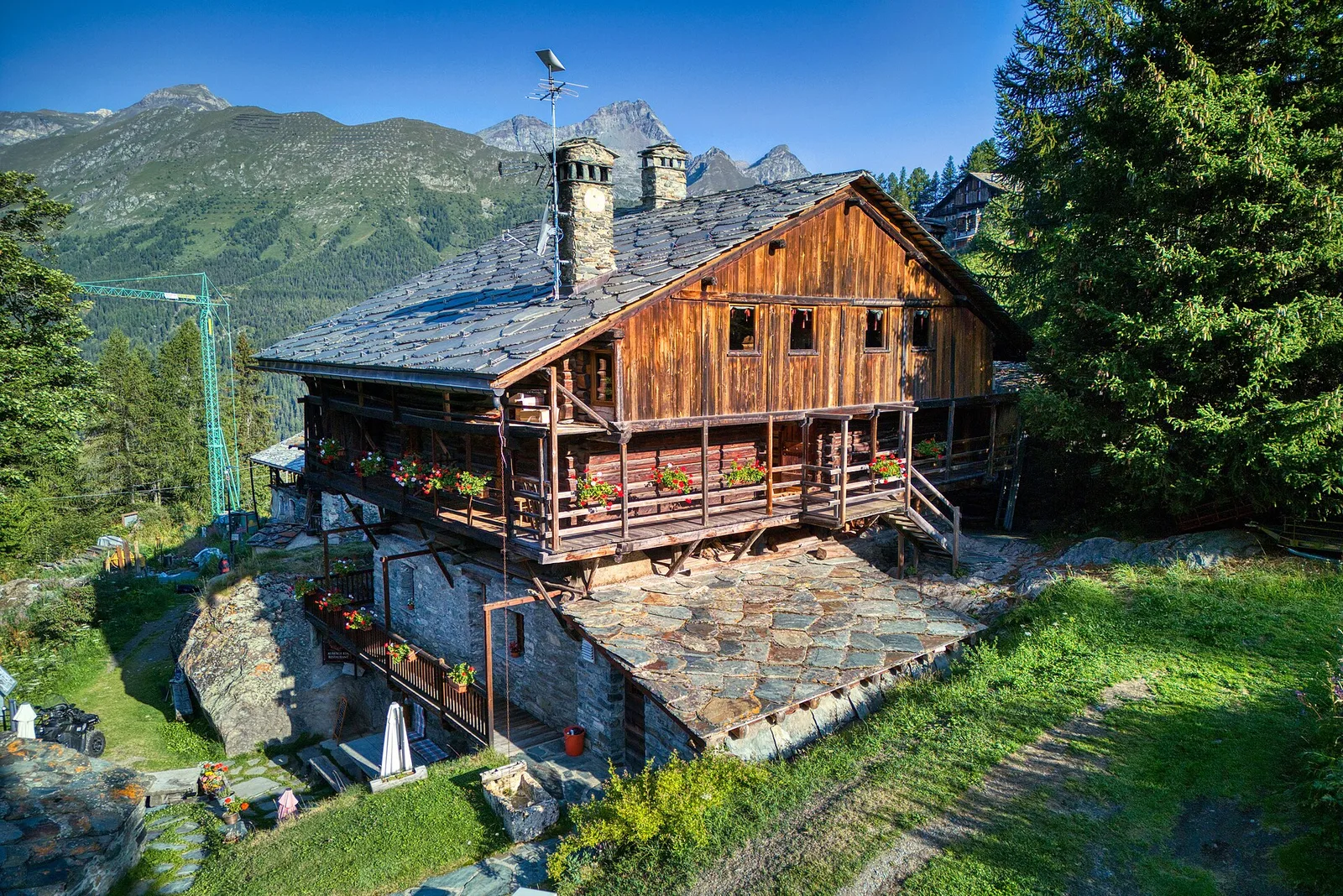
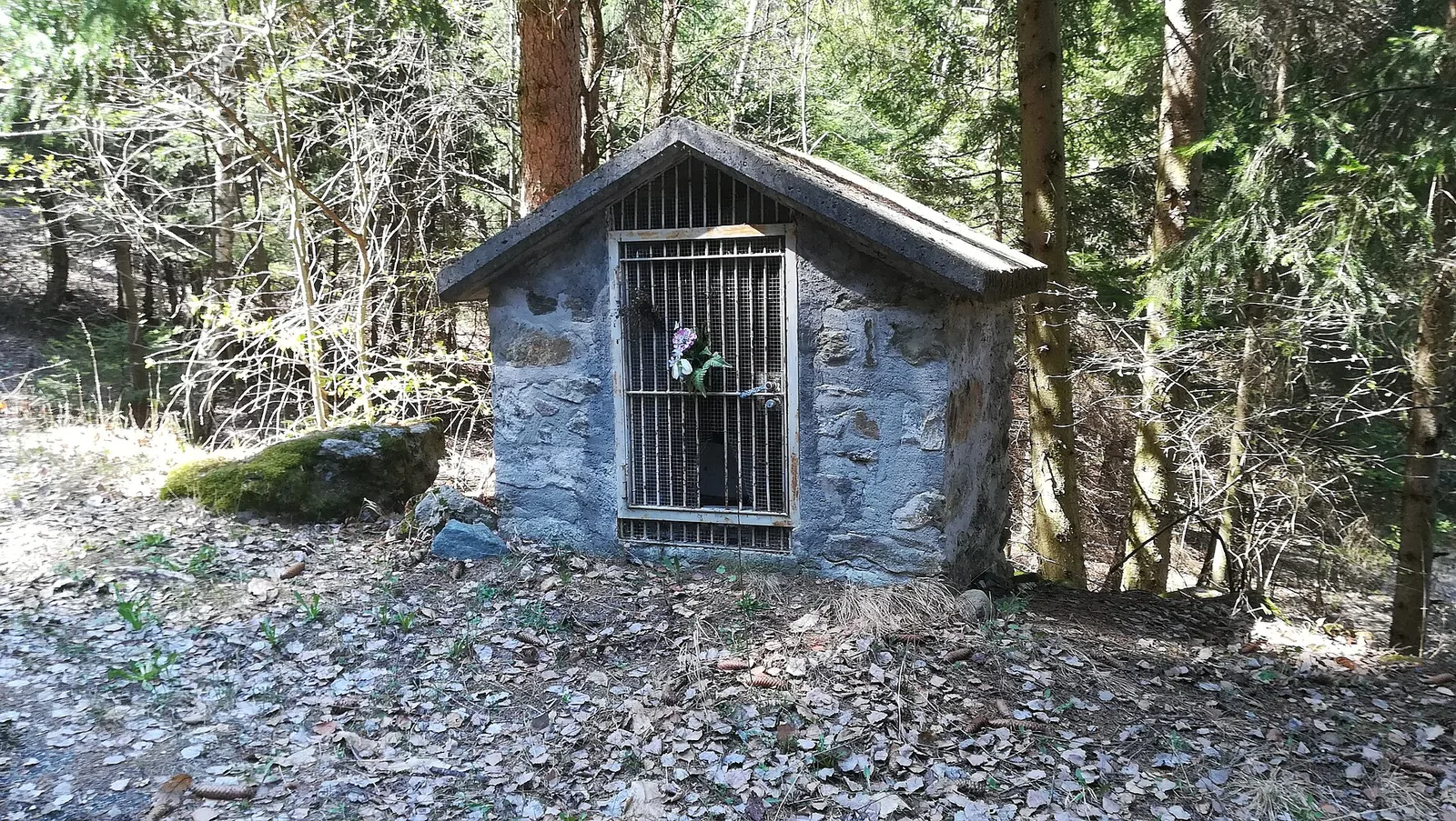
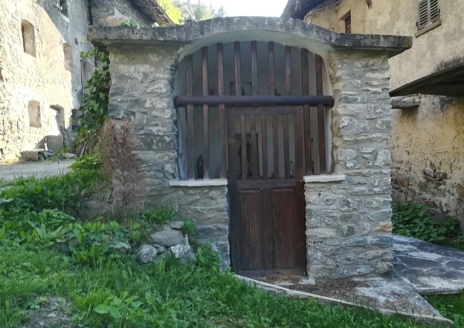
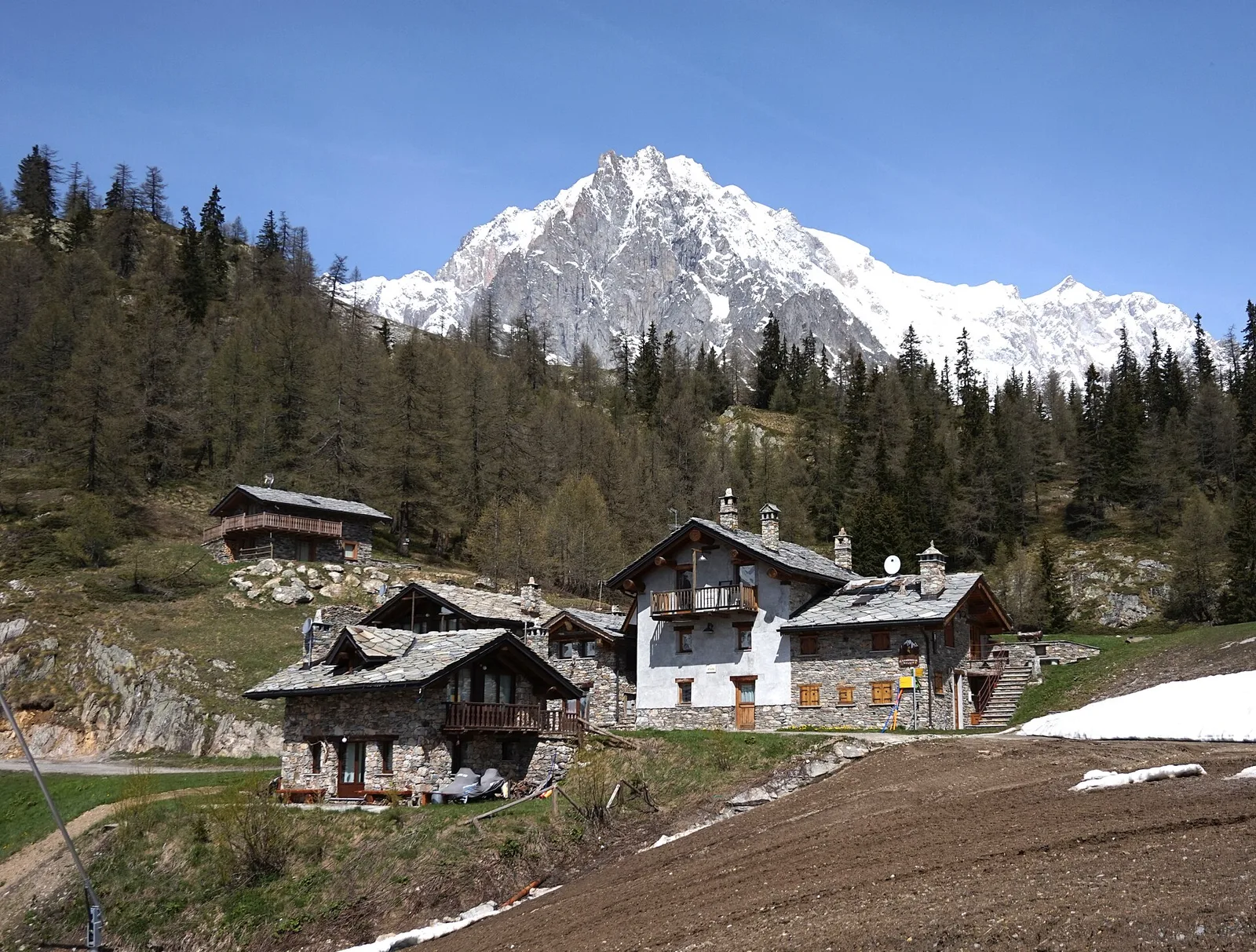
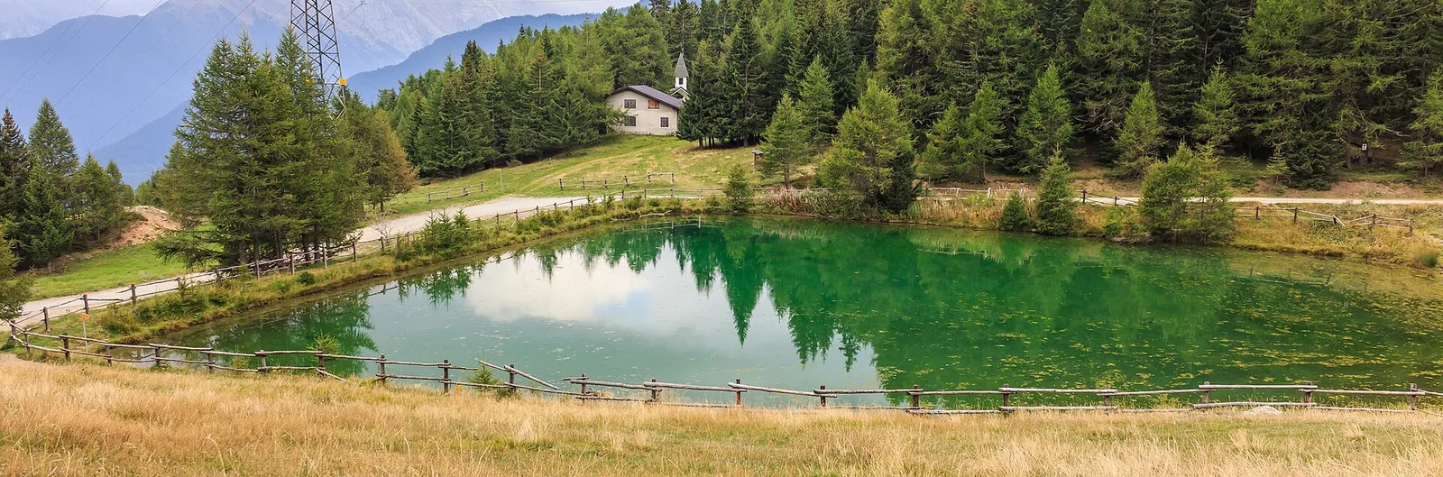
Arbaz - Miniera di Bechaz
1.6 km · +137 m · E — from Arbaz to Miniera di Bechaz (Ayas Valley).
1.6 km+137 m0.5 h
Where to spot
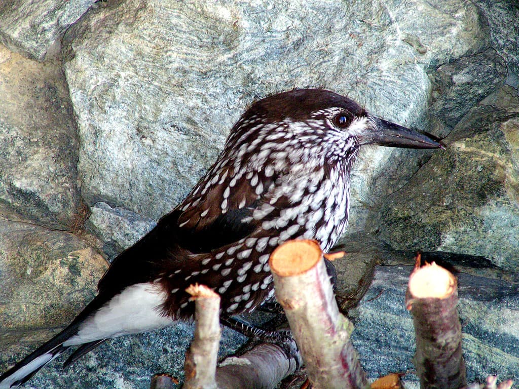
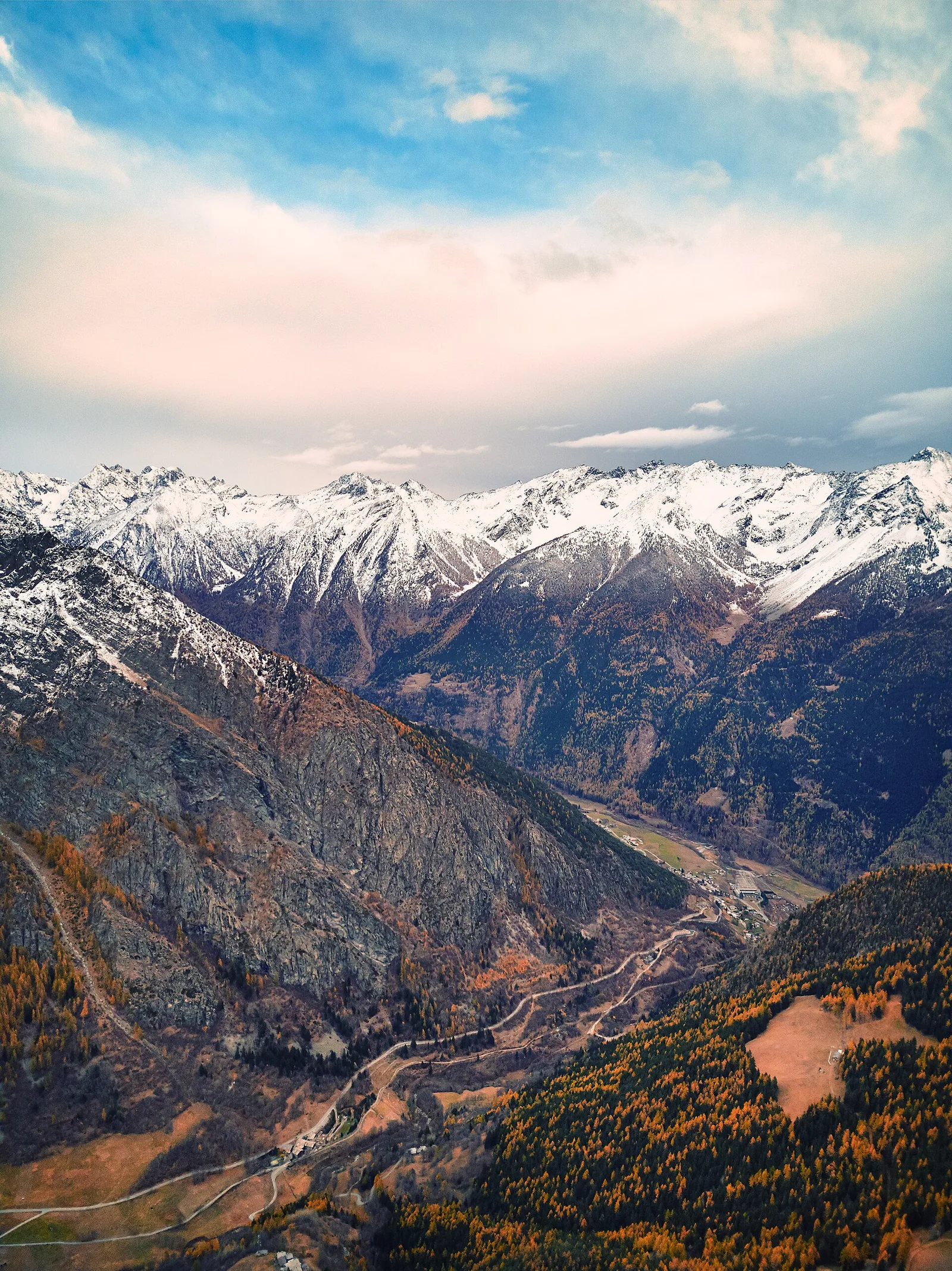
45 trails where Great masterwort is listed in flora/fauna: difficulty T–EE, elevation gain 0–1288 m.
45 · 0.4–11.2 km · +0–1288 m
Val d'Ayas
1.6 km · +137 m · E — from Arbaz to Miniera di Bechaz (Ayas Valley).

Valle centrale
From Arlier (603m) to Cloutraz (1067m) on the Châtillon hillside: 3.5 km E through vineyards, woodland and views over the Dora Baltea.
Valle centrale
In the Val di Cogne, commune of Aymavilles: an E-rated climb through forest and alpine pastures in the Gran Paradiso National Park.
Valle centrale
2.5 km · +390 m · E — from Bachaud to Rumiod la Chapelle (Remiod) (Central Valley).
Valle centrale
9.3 km · +968 m · E — from Blavy to Praz (Valpelline).
Val d'Ayas
1.6 km · +255 m · E — from Champoluc to Cascata Mascognaz (Central Valley).
Valtournenche
0.7 km · +72 m · E — from Champtorné to Gortz� (Valpelline).
Valle centrale
A steady climb in the Valdigne from Charbonnière (1,271 m) to Vedun (1,519 m) in the municipality of La Salle: 3.5 km, 380 m ascent.
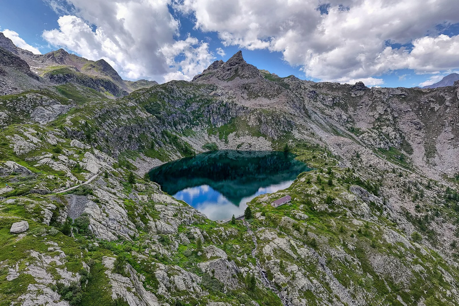
Val di Cogne
2.8 km · +170 m · T — from Capoluogo to Valnontey (Lys Valley).
Valle centrale
1.5 km · +75 m · E — from Coteau to Eremo Saint-Julien (Lys Valley).
Valpelline
1.3 km · +270 m · E — from Créton to Arp du Bois (Valpelline).

Valle del Gran San Bernardo
From Ville di Allein, an honest climb through pastures and larch woods to the Dortoir Baravex refuge at 1938 m, in the Great St Bernard valley.
Valle di Champorcher
2.9 km · +832 m · EE — from Dublanc to Tete du Mont (Valtournenche).
Valle centrale
4.8 km · +623 m · E — from Echarlod to Morges (La Thuile).
Val d'Ayas
0.9 km · +120 m · E — from Erésaz to Ravet (Great St Bernard Valley).
Valle centrale
4.7 km · +545 m · E — from La Pissine Sal� to Ermitage de Saint-Grat (Cogne Valley).
Valle del Lys
2.1 km · +538 m · E — from Lago Gover to Alpe Jatza (Champorcher Valley).
Valle centrale
In the Valgrisenche, Arvier: a significant E-rated climb through forest toward upper pastures.
Valtournenche
1.3 km · +8 m · E — from Lies to Strada (Valtournenche).
Valle del Gran San Bernardo
0.9 km · +39 m · E — from Chez-Percher to Cau (Central Valley).
Valle del Lys
2.3 km · +326 m · E — from Marine to Varfey (Central Valley).
Valle centrale
8.1 km · +995 m · E — from Marseiller to Col des Bornes (Valsavarenche).
Val d'Ayas
3 km · +259 m · E — from Mayn to Curien (Ayas Valley).
Valle centrale
1.5 km · +284 m · E — from Moulin to Plout (Great St Bernard Valley).
Valle di Champorcher
3.5 km · +593 m · E — from Outre l'Eve to Saint-Antoine (Valtournenche).
Valpelline
In the Valpelline, commune of Bionaz: an E-rated climb from forest to the Comba di Vertsan pastures.
Valtournenche
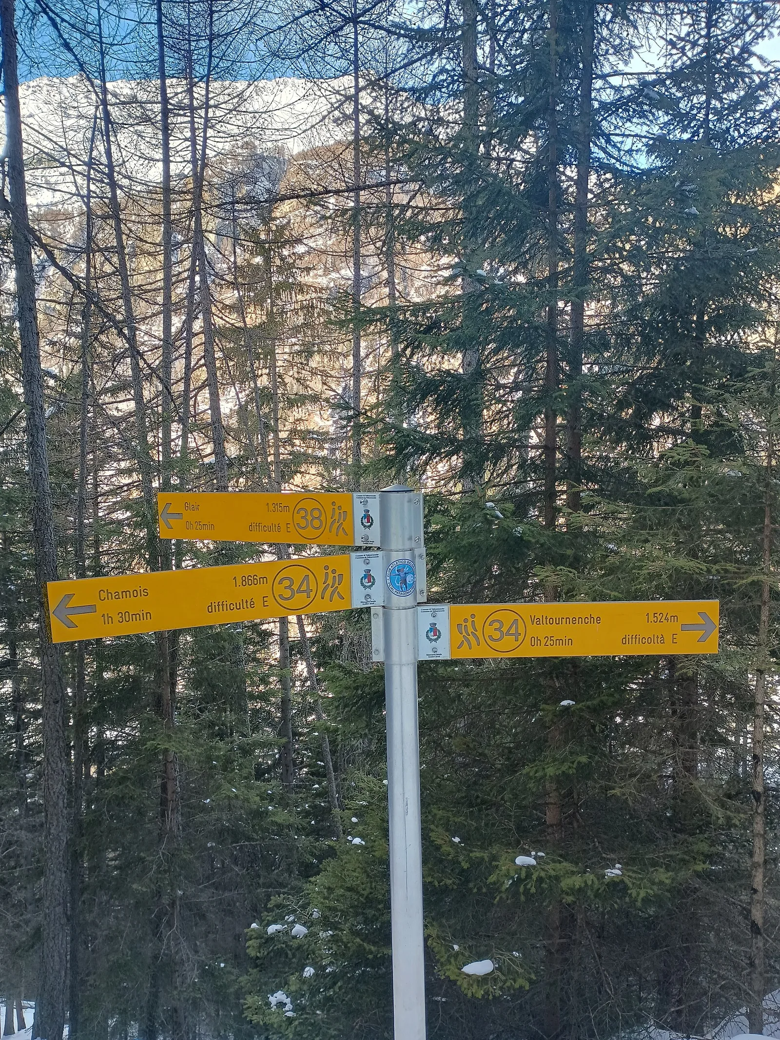
5 km · +296 m · E — from Paquier to Chamois (Central Valley).
Valle del Lys
1.6 km · +583 m · E — from Pianatz to Berord (Great St Bernard Valley).
Valle del Lys
0.6 km · +266 m · E — from Issime (parco giochi) to Pirubeck (Ayas Valley).
Valtournenche
4.8 km · +0 m · E — from Plan to Berzin (Central Valley).
Val Veny
2.4 km · +379 m · E — from Plan Checrouit to Col Checrouit (Great St Bernard Valley).
Valle centrale
3.6 km · +228 m · E — from Plan d'Introd to Moulin de Tache (innesto sentiero 6) (Lys Valley).
Valle centrale
1.8 km · +429 m · E — from municipio Pollein to Chenoz (Lys Valley).
Valle centrale
4.4 km · +0 m · E — from Pré-Saint-Didier to Morgex (Rhêmes Valley).
Bassa Valle
2.6 km · +828 m · E — from Rovarey to Jas Dèsot (Valtournenche).
Valle del Gran San Bernardo
0.4 km · +24 m · E — from Saint-Oyen to Pallais dessus (Great St Bernard Valley).
Valle centrale
5.2 km · +926 m · E — from Sarral to Arpilles (Central Valley).
Valle centrale
5.5 km · +1288 m · E — from Strada regionale per Arpy to Mont-Charvet (Central Valley).
Valle centrale
6 km · +977 m · E — from Terme to Col de Joux (Valtournenche).
Valpelline
3.3 km · +419 m · E — from Valpelline capoluogo to Capoluogo (Valtournenche).
Valle di Champorcher
6.2 km · +1184 m · E — from Varesa to Buriana (Champorcher Valley).
Valle centrale
High-level traverse from Vedun (1519m) to Jovençan (1868m) in the Valdigne: 6 km through historic pastures with Mont Blanc as backdrop.
Valle centrale
2.1 km · +235 m · EE — from Vens to Col du Joux (Central Valley).
Valle centrale
In the lower Val d'Ayas, Challand-Saint-Victor: a moderate climb through vineyards, meadows and forest toward upper hamlets.
Valle di Champorcher
2.8 km · +530 m · E — from Visey damon to Col d'Arcomy (Central Valley).