E
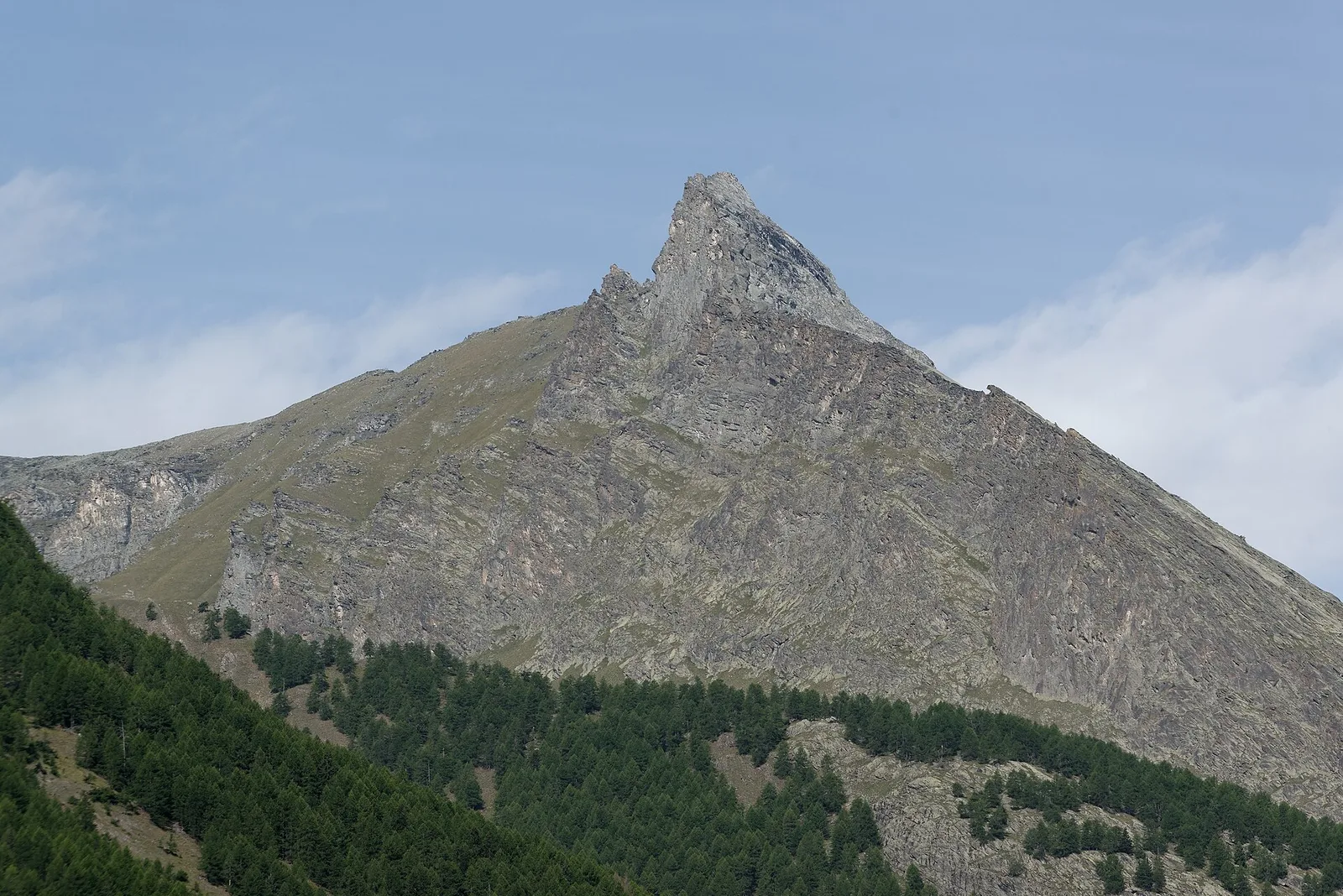
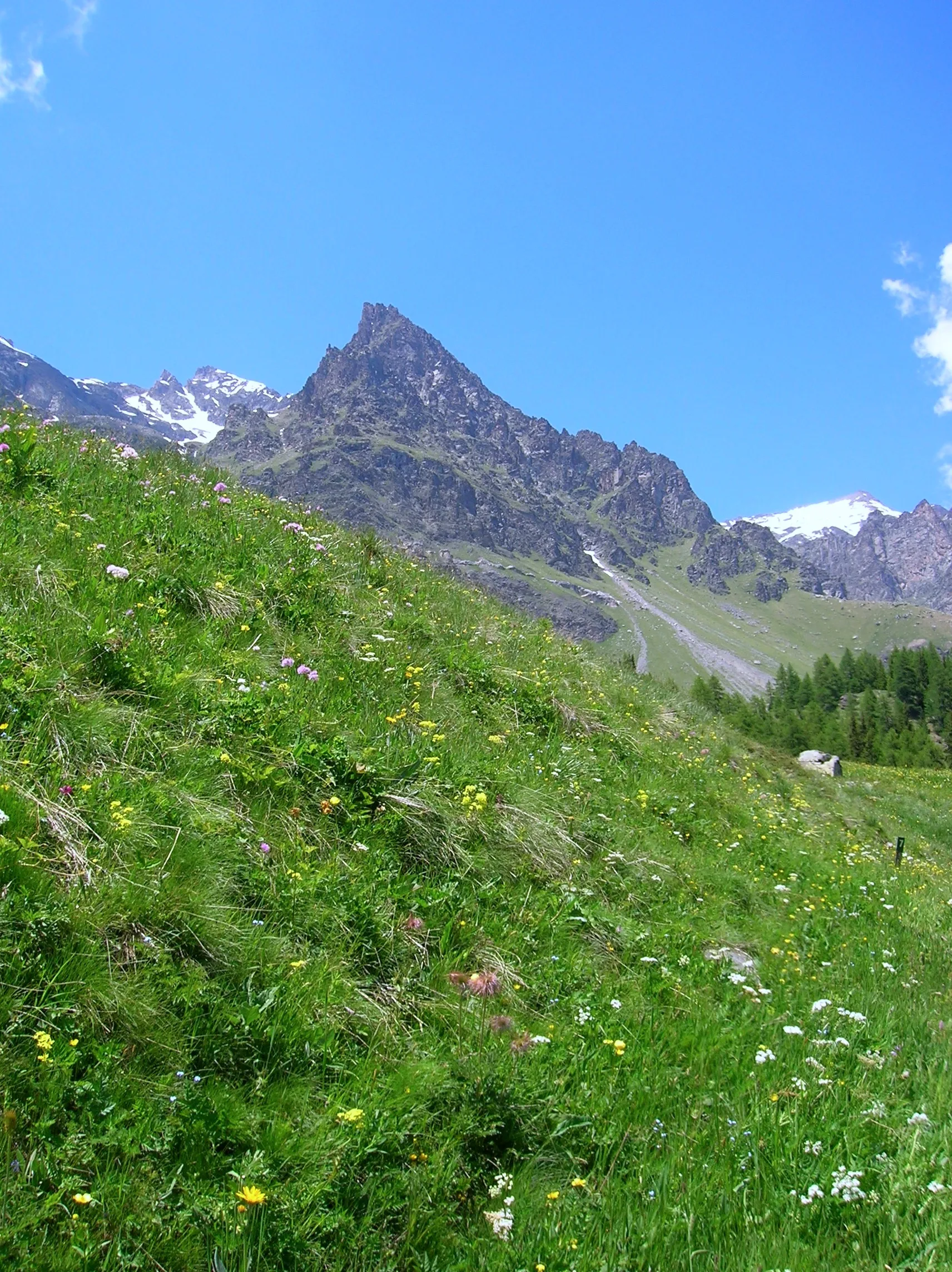
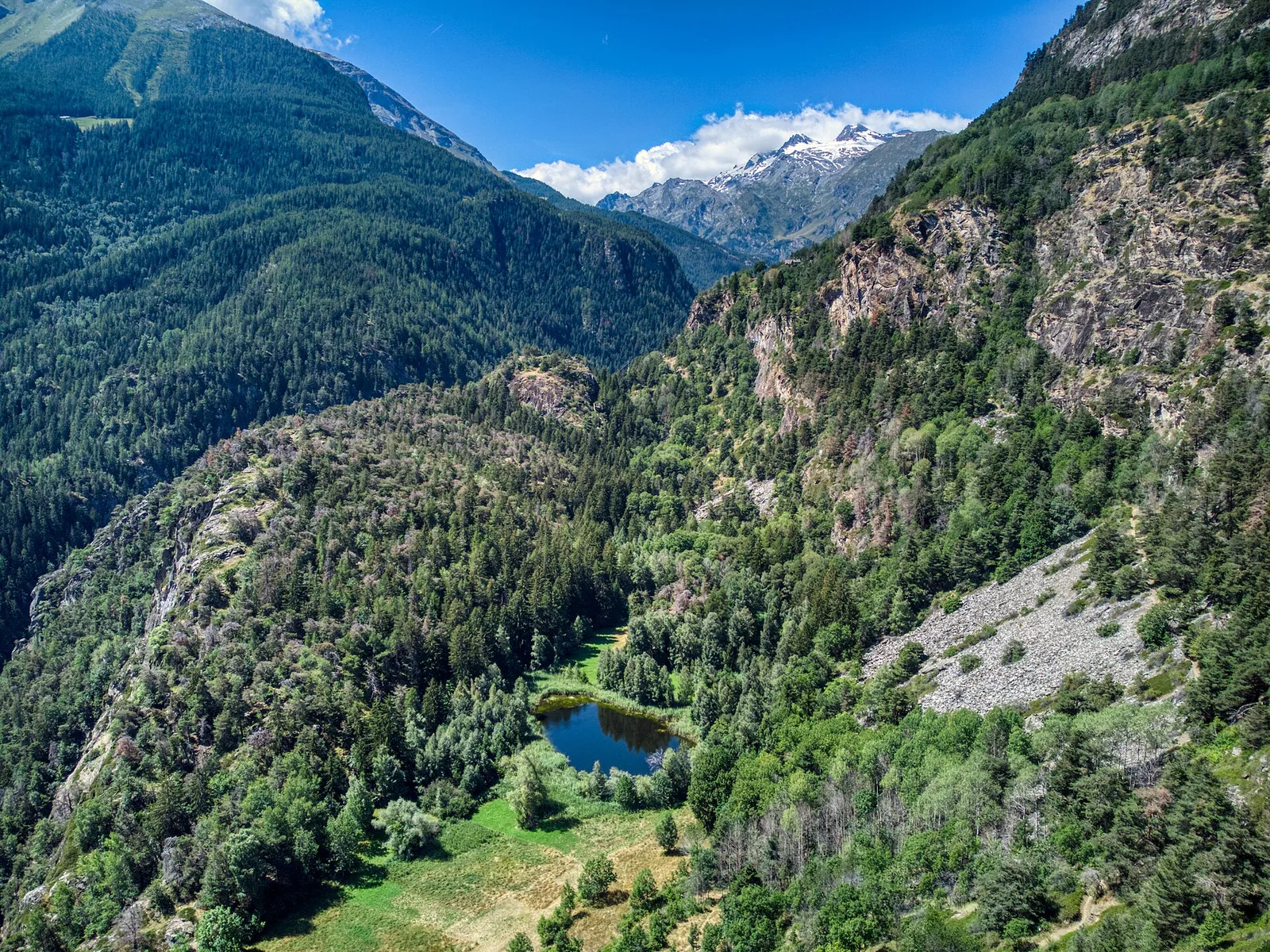
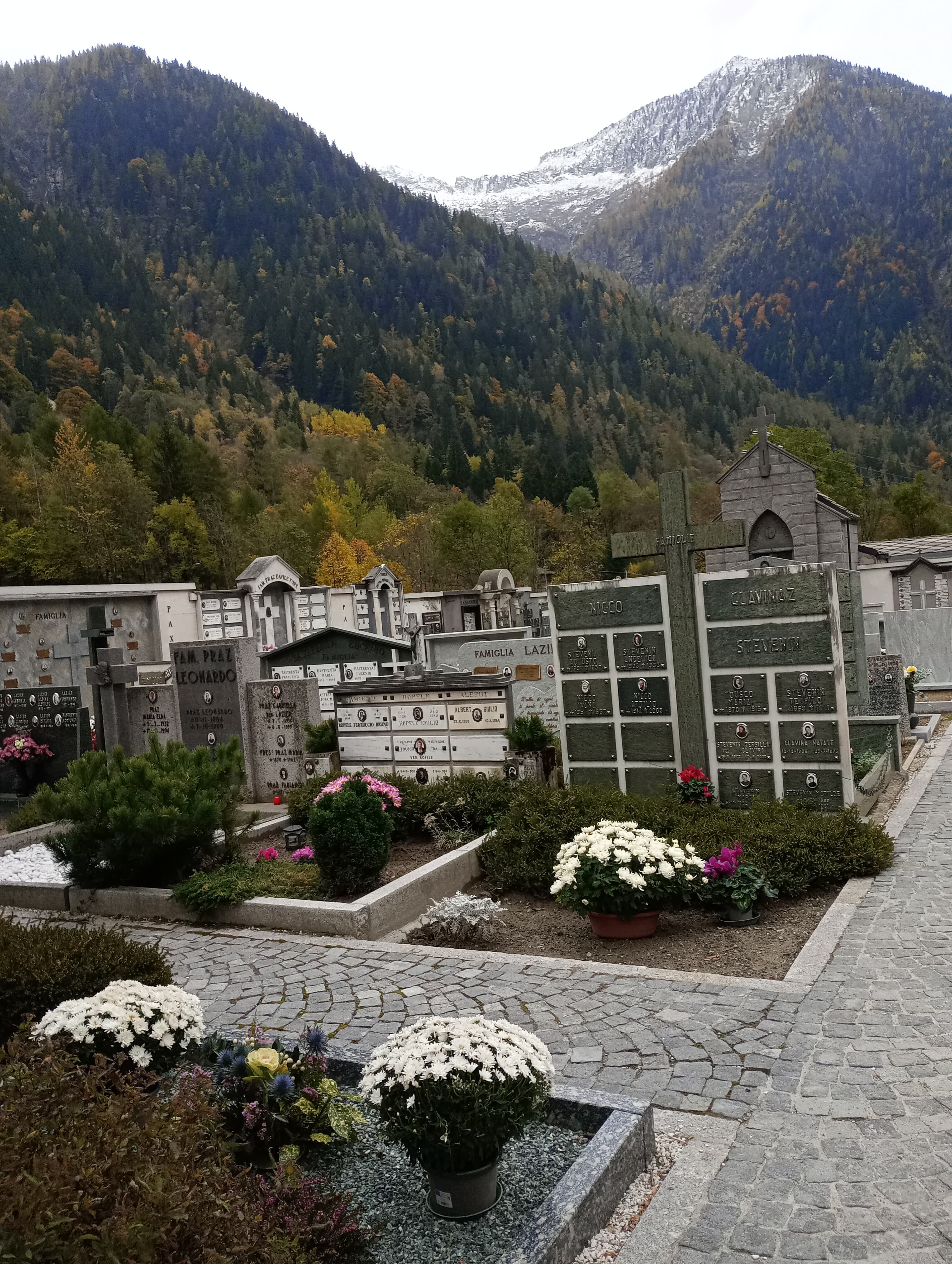
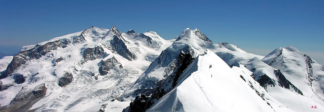
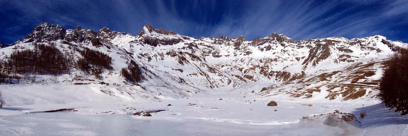
Val d'Ayas
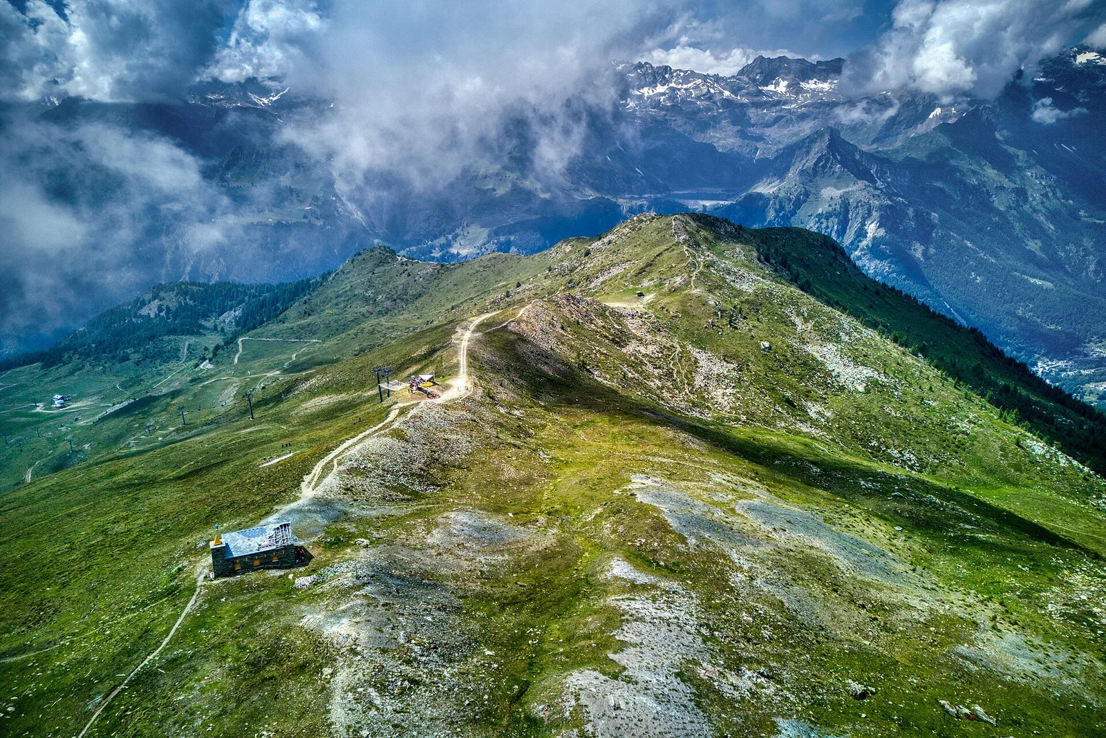
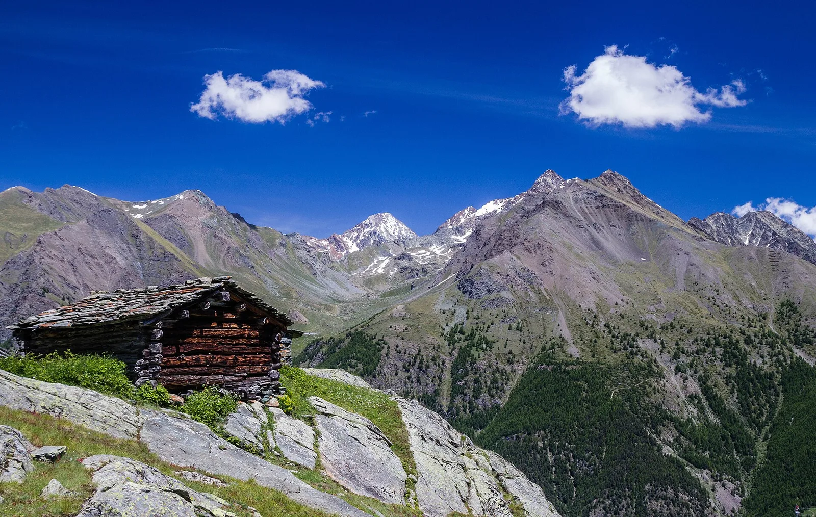
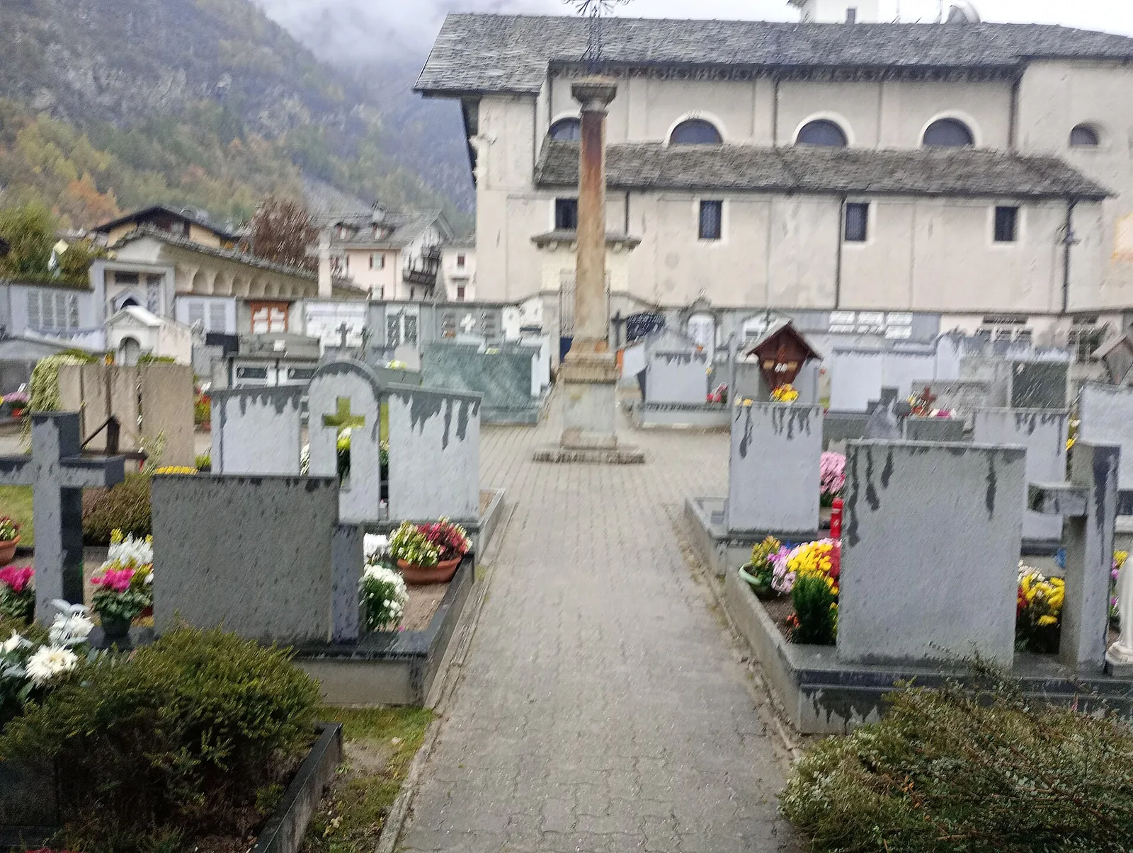
Arbaz - Mont d'Arbaz
1.9 km · +78 m · E — from Arbaz to Mont d'Arbaz (Ayas Valley).
1.9 km+78 m0.5 h
Where to spot
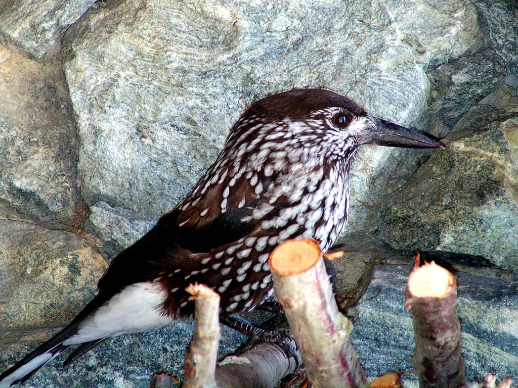
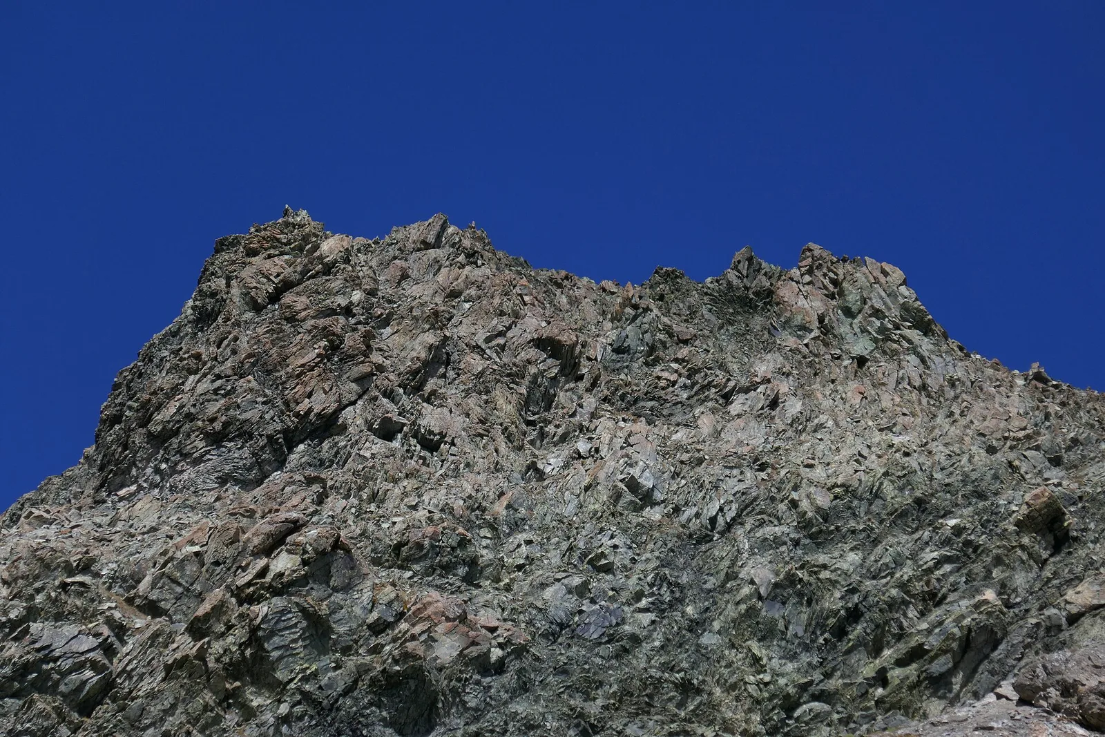
67 trails where Alpine cyclamen is listed in flora/fauna: difficulty T–EE, elevation gain 0–1772 m.
67 · 0.4–15.7 km · +0–1772 m
Val d'Ayas
1.9 km · +78 m · E — from Arbaz to Mont d'Arbaz (Ayas Valley).
Valle del Gran San Bernardo
2.9 km · +535 m · E — from Artalle to Chaussettaz (Great St Bernard Valley).
Valdigne
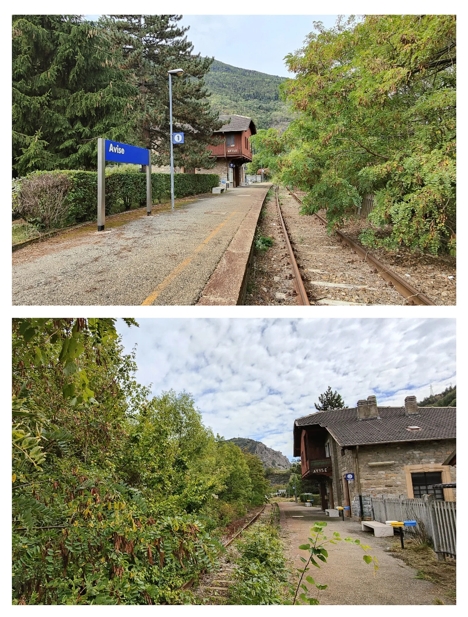
2.8 km · +431 m · E — from Avise to St-Nicolas (Valdigne).

Valtournenche
1.2 km · +284 m · E — from Barme to Omens (Valtournenche).
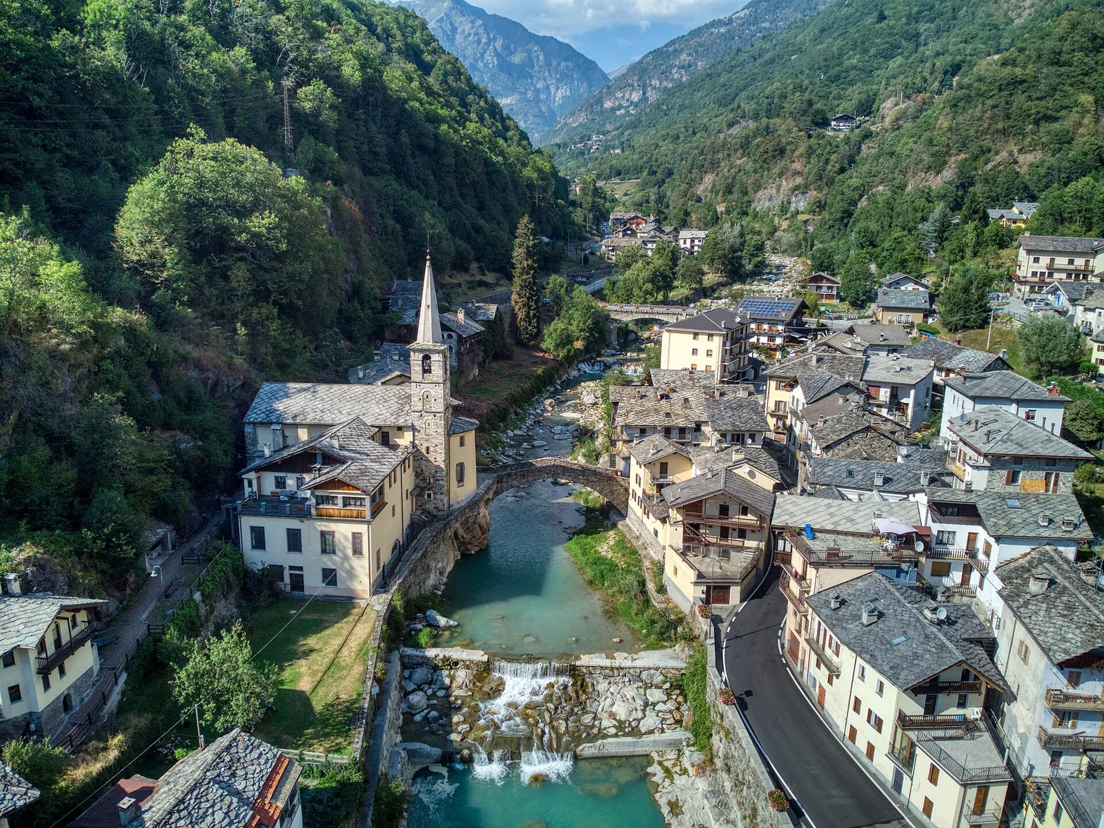
Valle del Lys
5.2 km · +578 m · E — from Bivio Vallone des Chavannes to Colle del Piccolo San Bernardo (Lys Valley).
Valle centrale
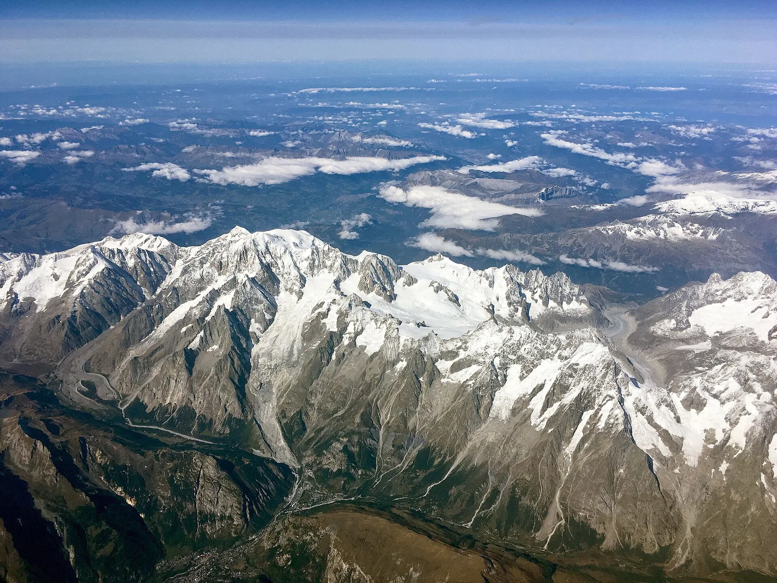
From Blanchard (1731 m) to Grand Lac (2815 m) with Alta Via 3 connection: 7.5 km, +1085 m. Scenic alpine lake and long-distance trail link. E.
Valtournenche
6.1 km · +965 m · E — from Bourg to Verale (Valtournenche).
Valle centrale
4.5 km · +937 m · EE — from Capiron to Mont Lyan (Central Valley).
Valle del Gran San Bernardo
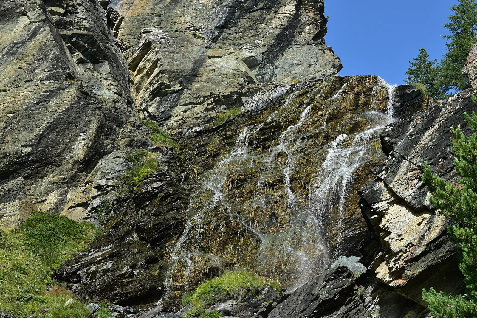
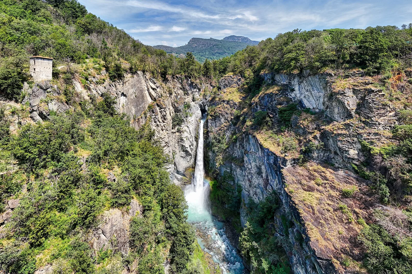
0.6 km · +80 m · E — from Start 7B to Cascate di Niel (Great St Bernard Valley).
Valle centrale
From Chamois (1812 m) — Italy's only road-free municipality — to trail junction 4 at 2600 m. 779 m ascent over high pastures above the central Aosta Valley.
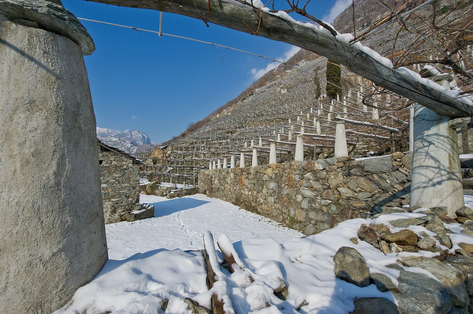
Val di Cogne
From Champsolin to Serignan (1190 m) through terraced vineyards and rural hamlets: the trail that tells the story of Val di Cogne's wine landscape.
Valle centrale
5 km · +867 m · E — from Charrière to Vetan (Central Valley).
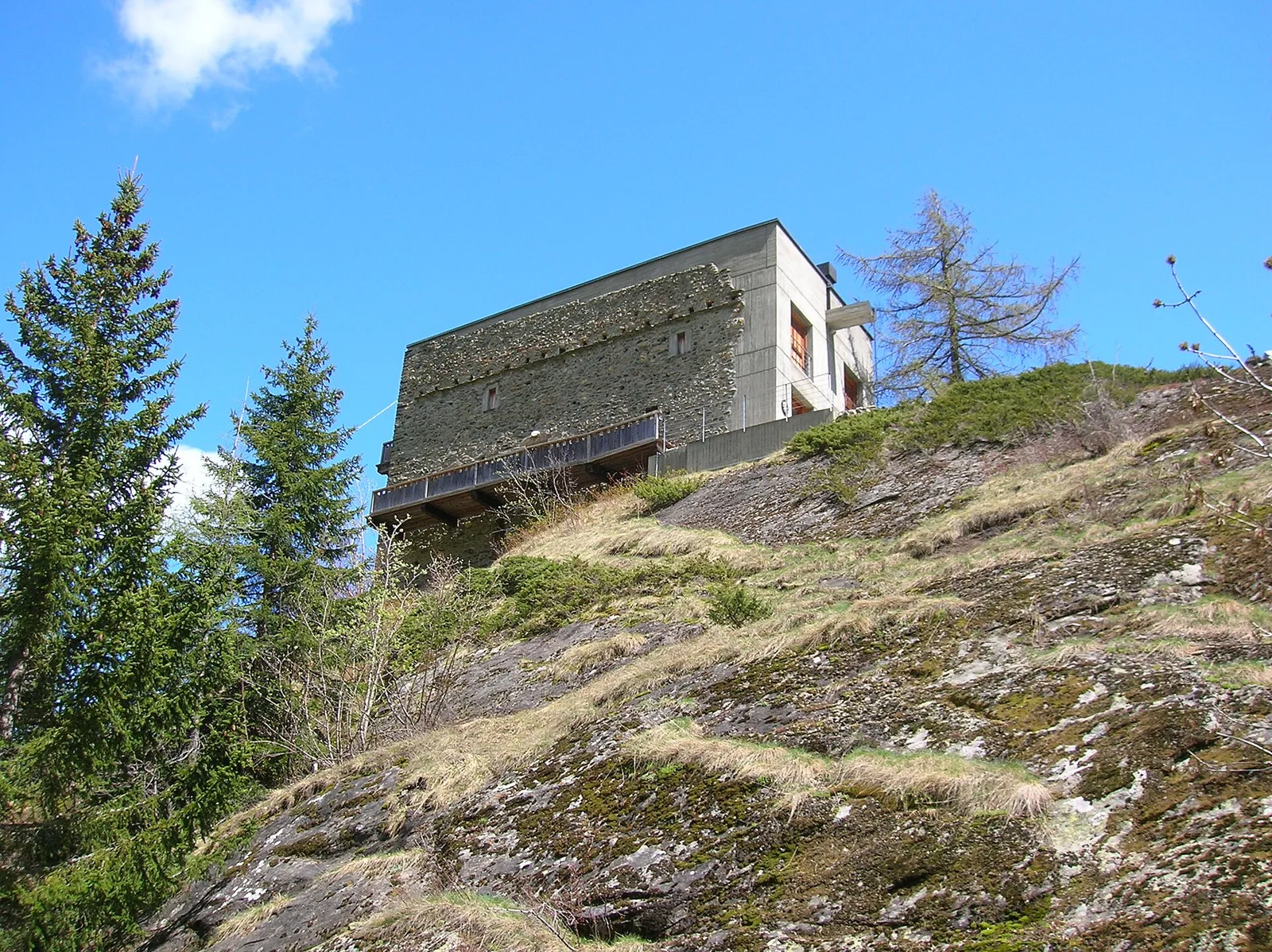
Val di Rhêmes
1.9 km · +387 m · E — from Chateau de Quart to Beato Emerico (Rhêmes Valley).
Valle del Lys
4.3 km · +660 m · E — from Cogne to Belvedere (Lys Valley).
Valle del Lys
1.5 km · +75 m · E — from Coteau to Eremo Saint-Julien (Lys Valley).
Valle del Gran San Bernardo
5.8 km · +1129 m · EE — from Dolonne to Mont-Chetif (Great St Bernard Valley).
La Thuile
4.8 km · +623 m · E — from Echarlod to Morges (La Thuile).
Valle del Lys
6.9 km · +1772 m · E — from Epinel to Bivacco Gratton (Lys Valley).
Valle del Gran San Bernardo
2.9 km · +0 m · E — from Erésaz to Abay (Great St Bernard Valley).
Valle del Gran San Bernardo
0.4 km · +0 m · E — from Erésaz to Grand Hoel (Great St Bernard Valley).
Valle centrale
1.6 km · +255 m · E — from Fiéry to Résy (Central Valley).

Valle del Lys
7.3 km · +1592 m · E — from Fontainemore (Capoluogo) to Colle Marmontana (Lys Valley).
Val di Rhêmes
9.7 km · +1194 m · E — from Fonteil to Col de Saint-Barthélem (Rhêmes Valley).
Valle centrale
3.8 km · +450 m · E — from Fossaz to Grand Sarriod (Central Valley).
Valle centrale
4.9 km · +517 m · E — from Confine comunale La Magdeleine - Chamois to Col Cheneil (Central Valley).
Valgrisenche
0.8 km · +0 m · E — from Grand Haury to Castello Montmayeur (Valgrisenche).

Valgrisenche
2 km · +207 m · E — from La Ravoire to Castello di Montmayeur (Valgrisenche).
Valgrisenche
1.5 km · +245 m · E — from La Ravoire to Lolair (Valgrisenche).
Valle del Gran San Bernardo
3 km · +536 m · E — from La Remisa to Gioè damon (Great St Bernard Valley).
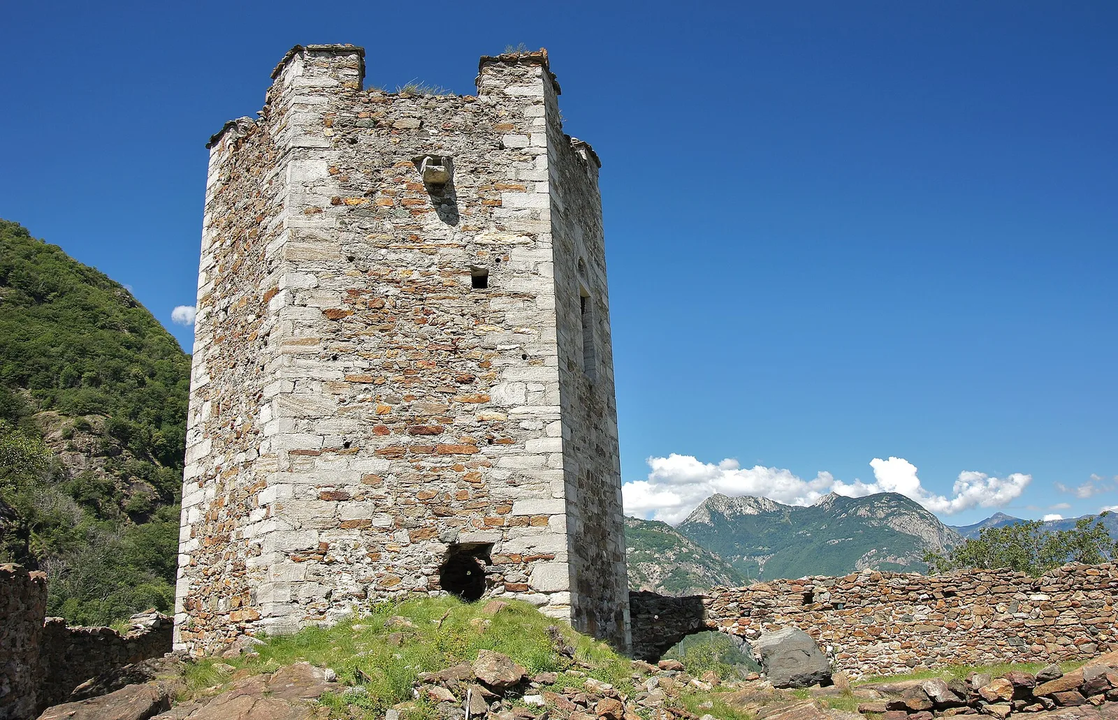
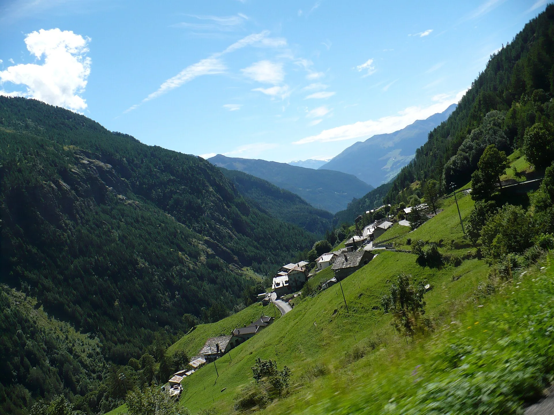
Valgrisenche
In the Valgrisenche, Arvier: a steady E-rated climb through forest and meadows toward upper pastures.
Valgrisenche
From the Valgrisenche valley floor at Leverogne (721 m) to the hilltop village of Saint-Nicolas (1,203 m): 3.4 km and 499 m of ascent.
Valle del Gran San Bernardo
2.8 km · +802 m · E — from Lihrla to Alpe Grignatz (Great St Bernard Valley).
Valle del Lys
13.6 km · +1226 m · E — from Lillaz to Col Finestra (Lys Valley).
Valle del Lys
12.3 km · +1392 m · E — from Lillaz to Santuario di San Besso (Lys Valley).
Valle centrale
2.1 km · +261 m · E — from Liveroulaz to Fossaz (Central Valley).
Valle centrale
5.6 km · +793 m · E — from Lo Pian to Covarey (Parcheggio) (Central Valley).

Valle centrale
6.2 km · +1327 m · E — from Lo Pian to Lac de Panaz (Central Valley).
Valle centrale
2.3 km · +326 m · E — from Marine to Varfey (Central Valley).
Val d'Ayas
3 km · +259 m · E — from Mayn to Curien (Ayas Valley).
Valle del Lys
2 km · +461 m · E — from Moulin to Gorettaz (Lys Valley).
Valpelline
6.1 km · +1205 m · E — from Capoluogo to Bivacco Regondi (Valpelline).
Valtournenche
7.3 km · +1319 m · E — from Outre l'Eve to Col de la Fricolla (Valtournenche).
Val di Cogne
From Ozein, the ascent to Pointe de la Pierre climbs through forest, pastures and open alpine terrain to 2642 m, a classic viewpoint over the Pila basin and Val di Cogne.
Valle del Lys
6.3 km · +643 m · E — from Parcheggio Area camper to Souches (Lys Valley).
Val d'Ayas
0.6 km · +266 m · E — from Issime (parco giochi) to Pirubeck (Ayas Valley).
La Thuile
5.2 km · +575 m · E — from Planaval to Bonalex (La Thuile).
Valgrisenche
In the Valgrisenche, Arvier: an accessible route from the lower valley toward upper hamlets through forest and vineyards.
Valgrisenche
2.5 km · +497 m · E — from Pont-Avisod to Ville-Sur-Sarre (Valgrisenche).

Valle del Lys
6 km · +1217 m · E — from Ponte Vernosse to Col de L'Arpeyssaou (Lys Valley).
Valle del Lys
1.8 km · +448 m · E — from Posa to Saroun (Lys Valley).
Valtournenche
5 km · +873 m · E — from Pramotton to Innesto Baraton (Valtournenche).
Valpelline
2.1 km · +506 m · E — from Praz to La Fenetre (Valpelline).
La Thuile
5.4 km · +881 m · E — from Chabodey to Promoud (La Thuile).
Valtournenche
2.6 km · +828 m · E — from Rovarey to Jas Dèsot (Valtournenche).
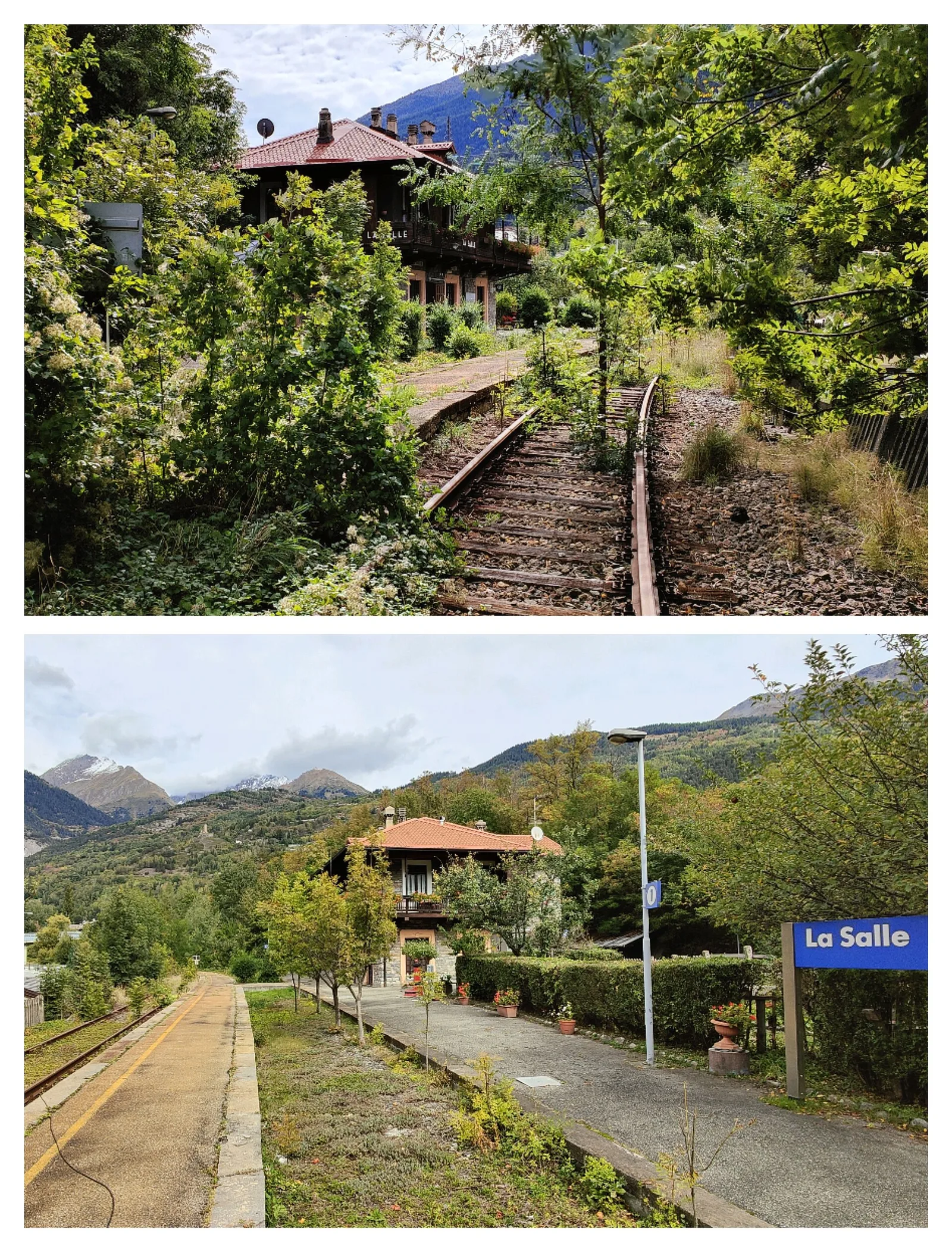
Valdigne
In the Valdigne, La Salle: an E/EE-rated climb toward upper slope zones with views of Mont Blanc.
Val d'Ayas
2.3 km · +283 m · E — from Sizan to Sant'Anna (Ayas Valley).
Valle del Lys
6.5 km · +838 m · E — from Staffal to Orestes Huette (Lys Valley).
Val di Cogne
0.7 km · +179 m · E — from Strada regionale 47 to Serignan (Cogne Valley).

Valle del Lys
15.7 km · +0 m · E — from Fontainemore to Donnas (Lys Valley).
Valtournenche
2.4 km · +310 m · E — from Tenso to Strada per Bellecombe (Valtournenche).
Valle centrale
7.2 km · +1316 m · E — from Tourterouse to Colle Superiore delle Cime Bianche Sud (Central Valley).
Valtournenche
2.5 km · +231 m · E — from Valpelline capoluogo to Crête (Valtournenche).
Valtournenche
1.4 km · +312 m · T — from Piazza R.Challand to Croix de Saint-Gilles (Valtournenche).
Valle centrale
2.4 km · +196 m · E — from Villair to Château de Châtelard (Central Valley).
Valle centrale
1.4 km · +174 m · E — from Villair to Château de Châtelard (Central Valley).
Valle del Gran San Bernardo
7.6 km · +995 m · E — from Visaille to Col de la Youlaz (Great St Bernard Valley).
Val d'Ayas
6.3 km · +1402 m · E — from Zengji to Colle Marmontana (Ayas Valley).