
T
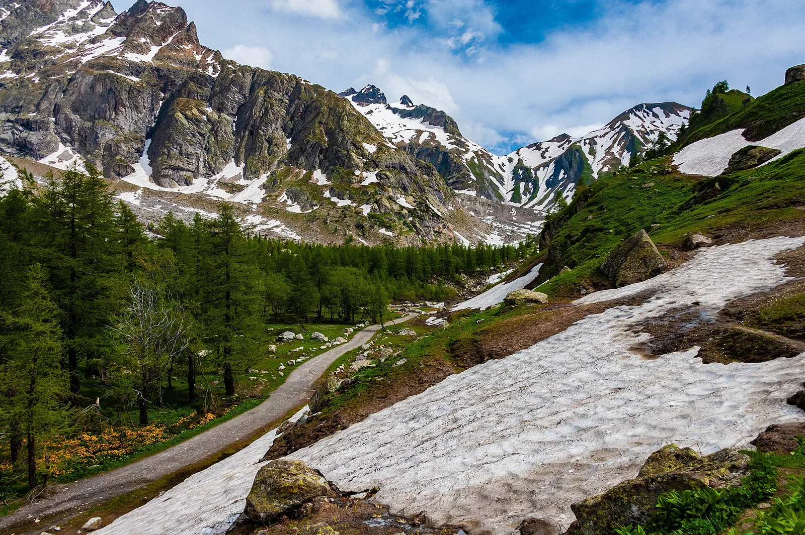
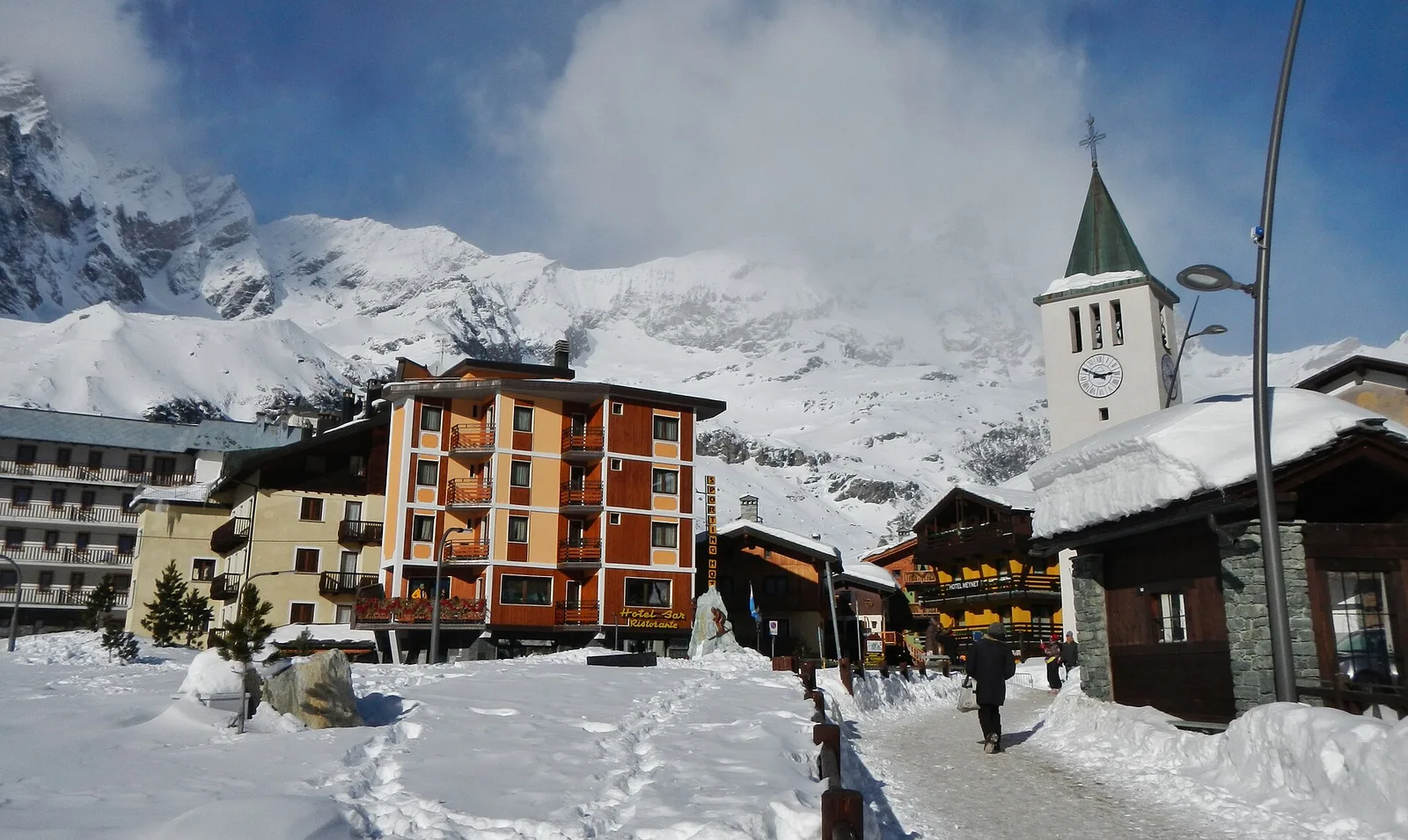
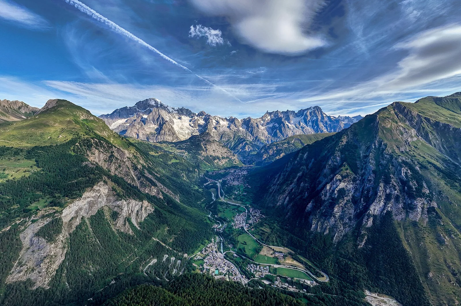
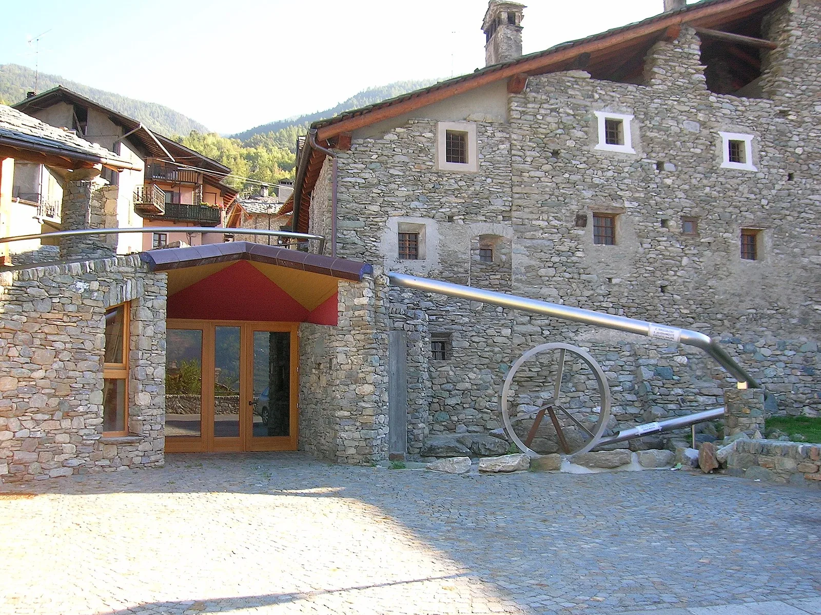
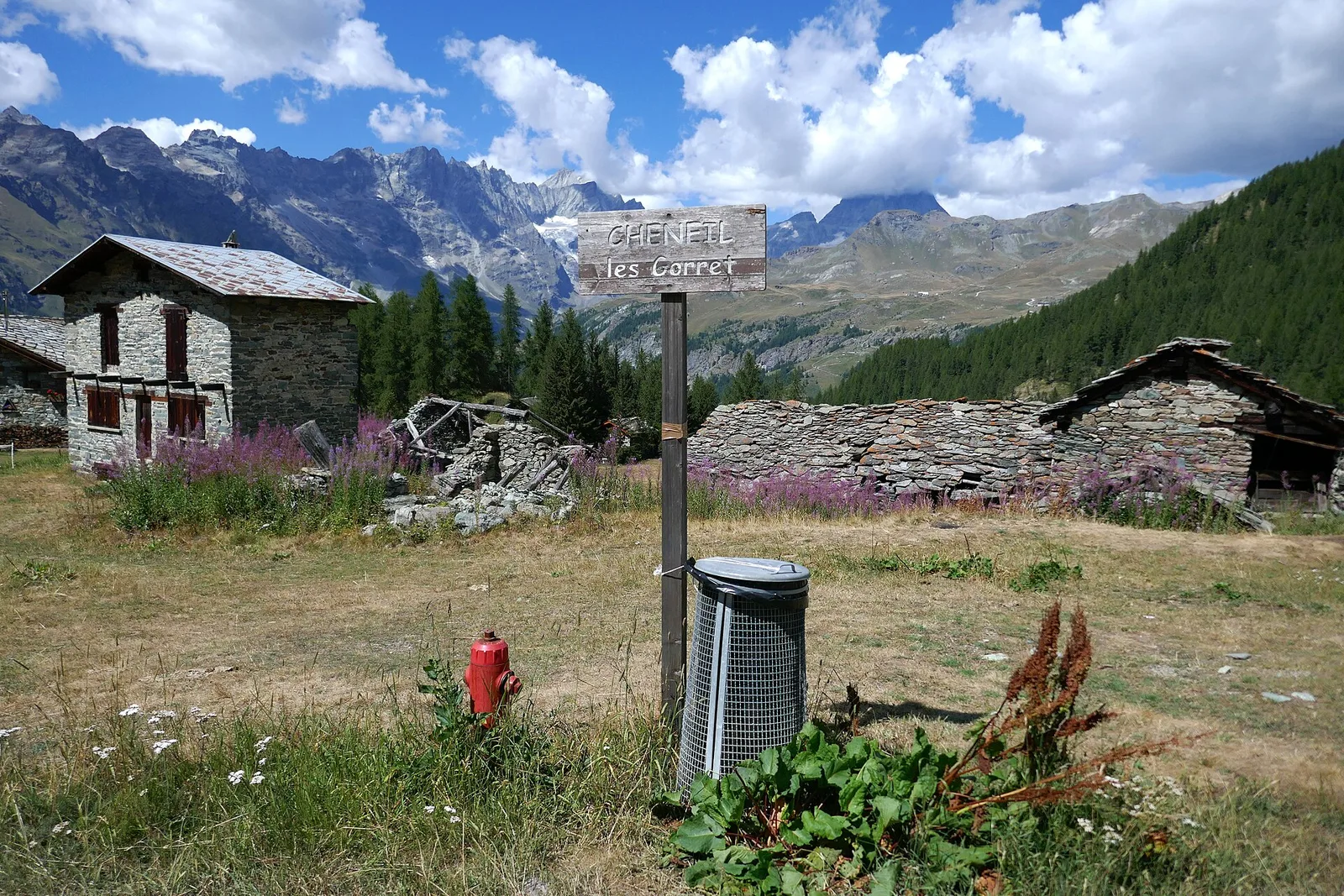
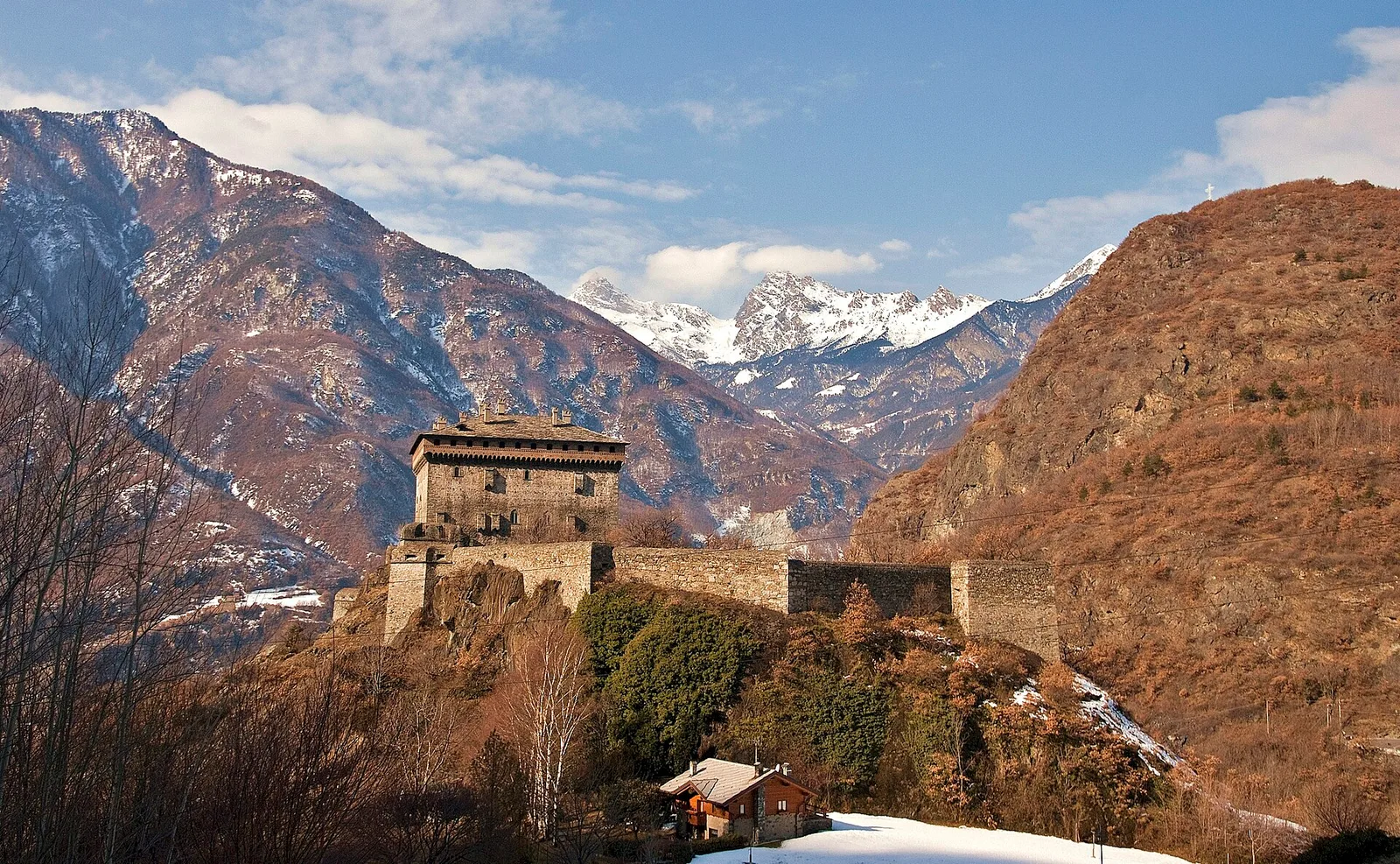
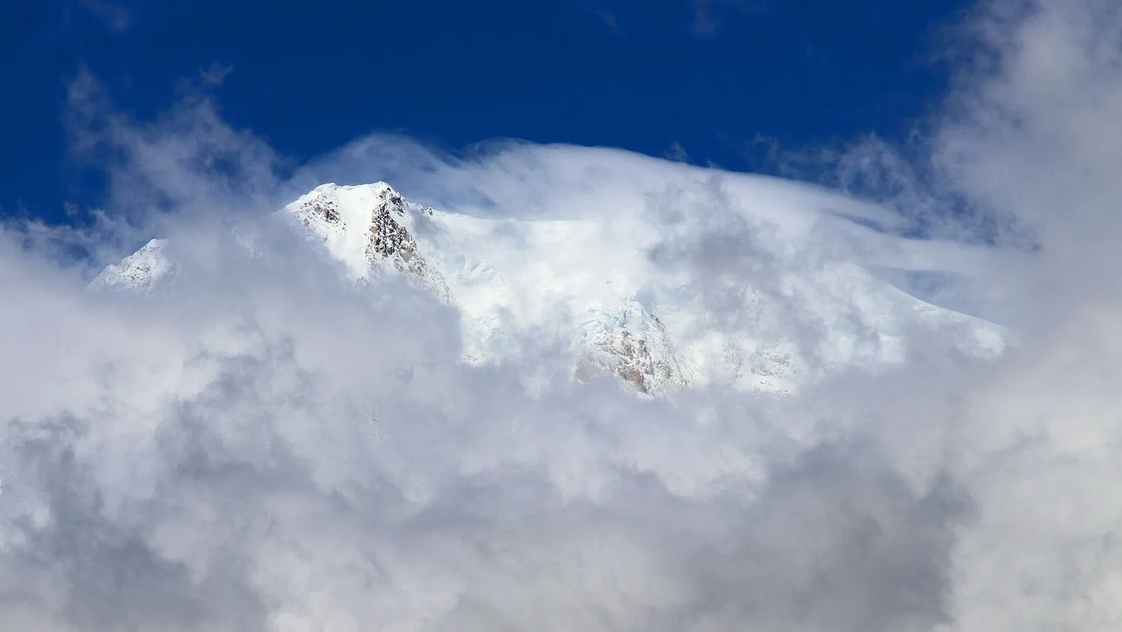
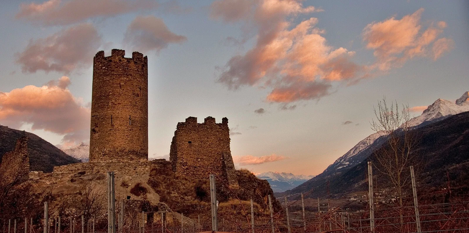
Valtournenche
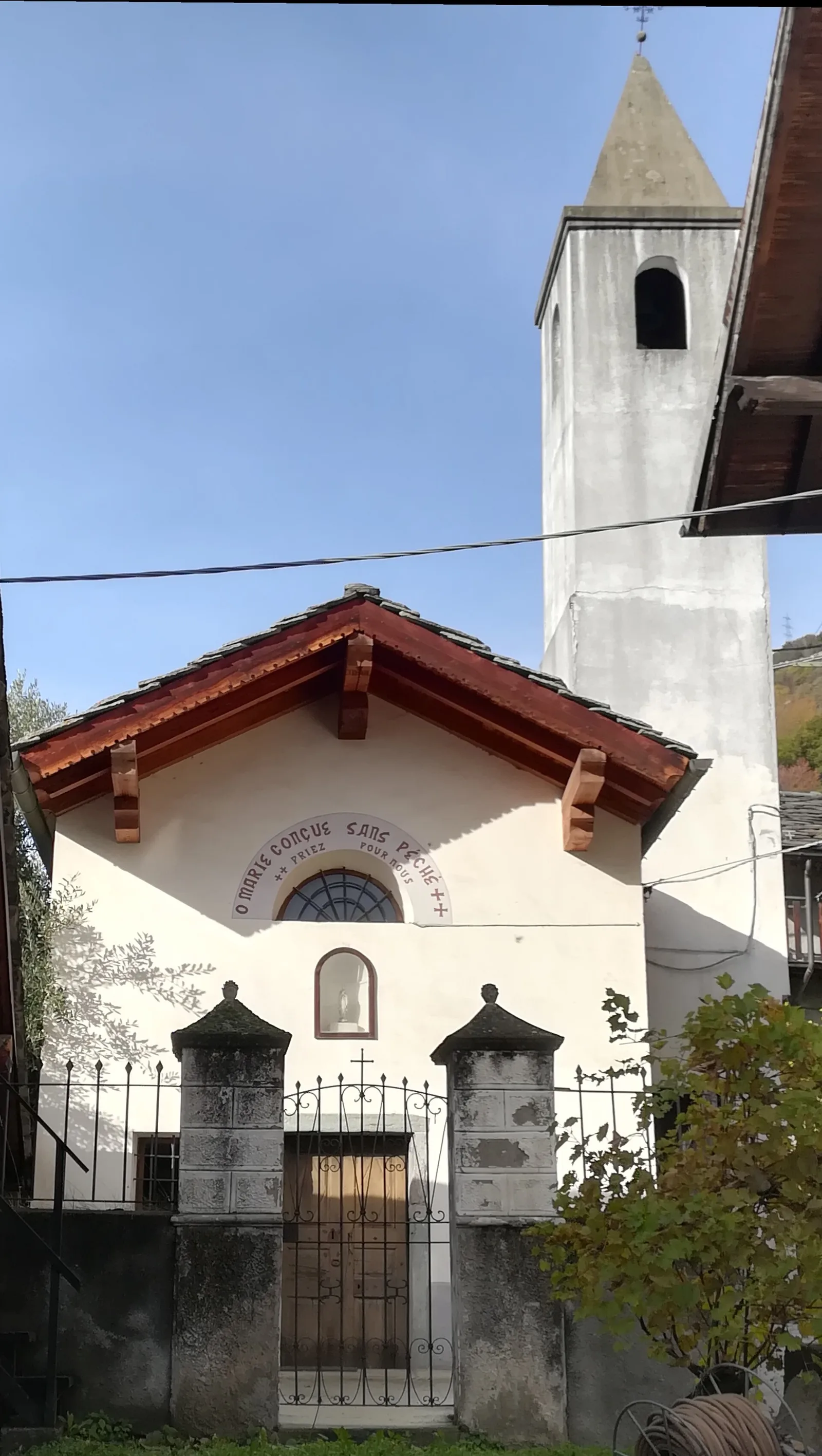
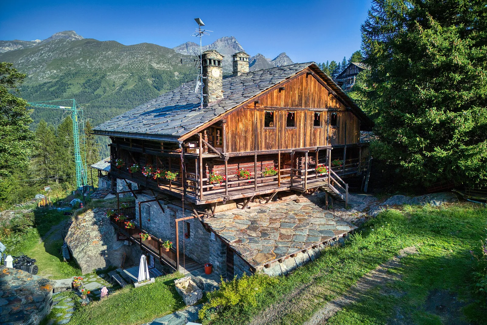
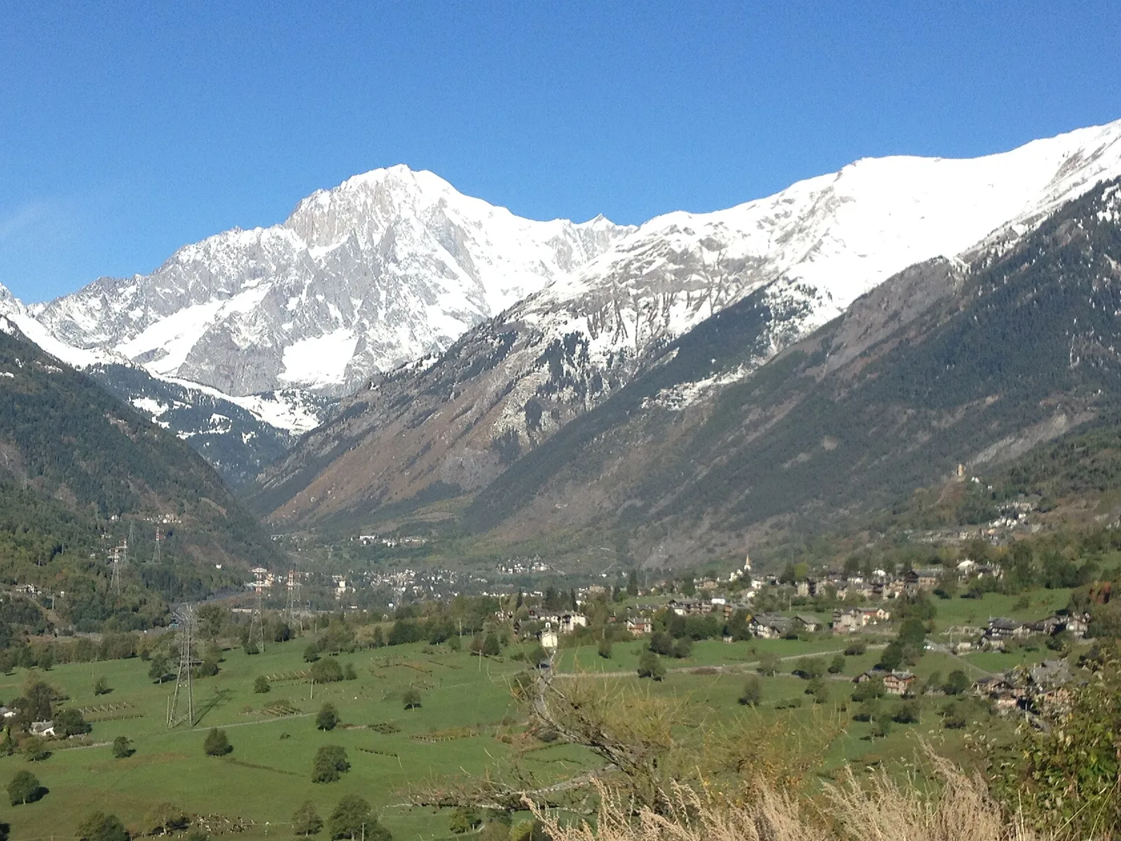
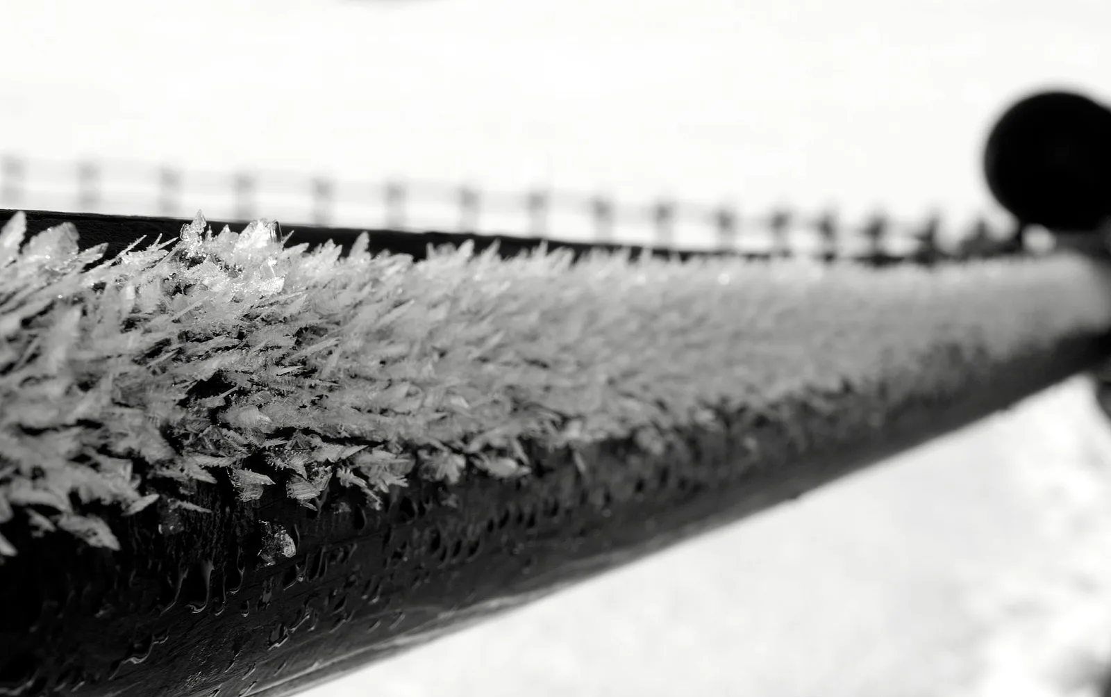
Anello Area sportiva-Fiernaz-Area sportiva
2.9 km · +28 m · T — from Area sportiva to Area sportiva (Valtournenche).
2.9 km+28 m1 h
Where to spot
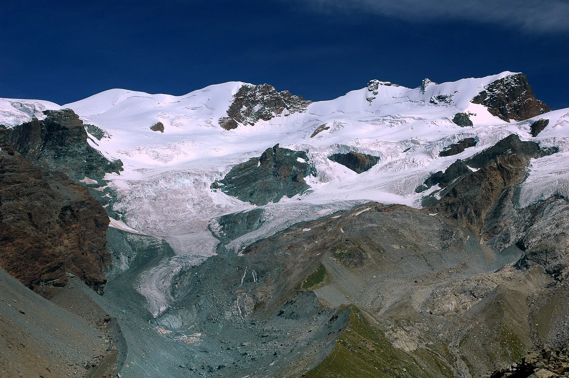
60 trails where Common cuckoo is listed in flora/fauna: difficulty T–EE, elevation gain 0–1544 m.
60 · 0.5–10.7 km · +0–1544 m
Valtournenche
2.9 km · +28 m · T — from Area sportiva to Area sportiva (Valtournenche).

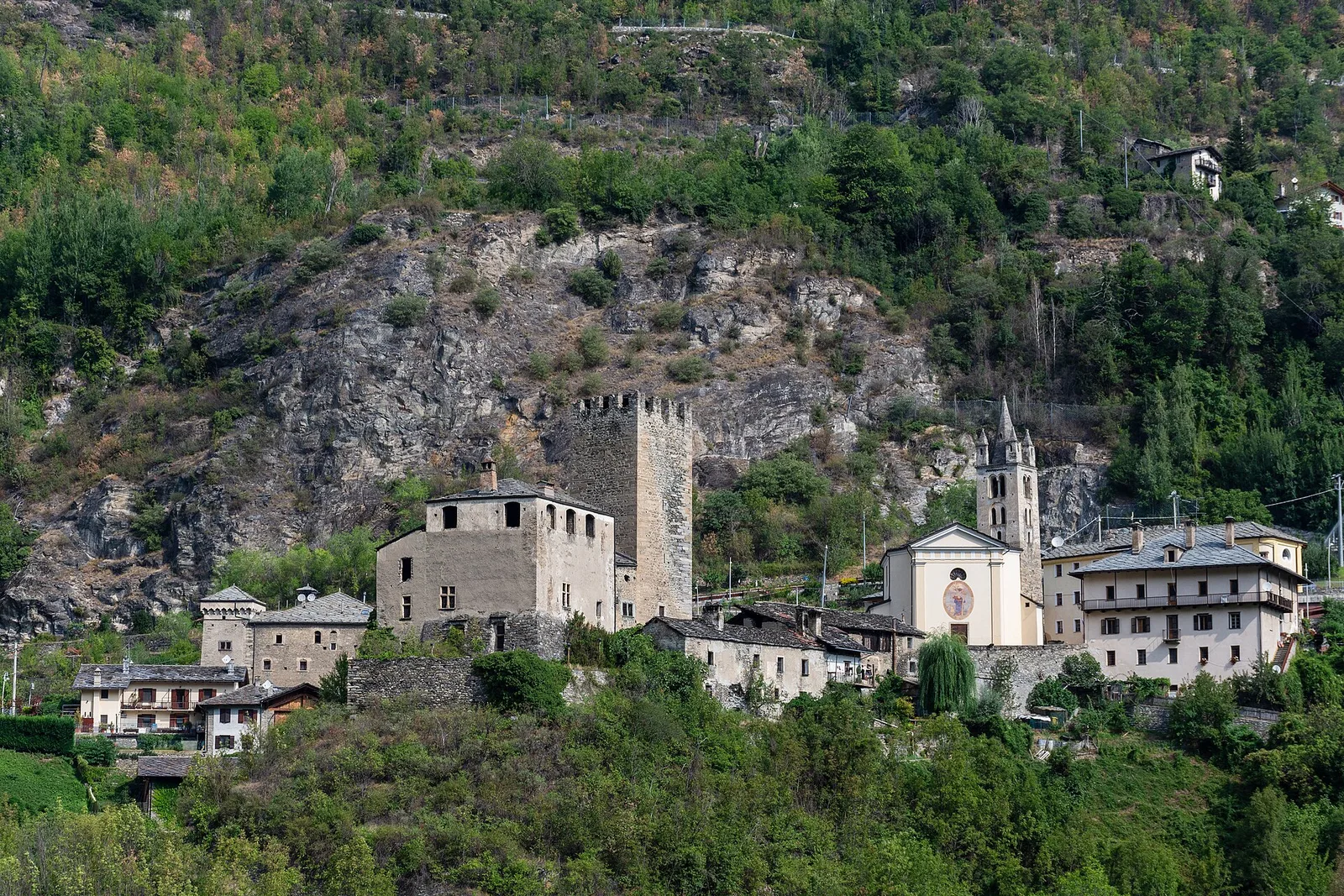
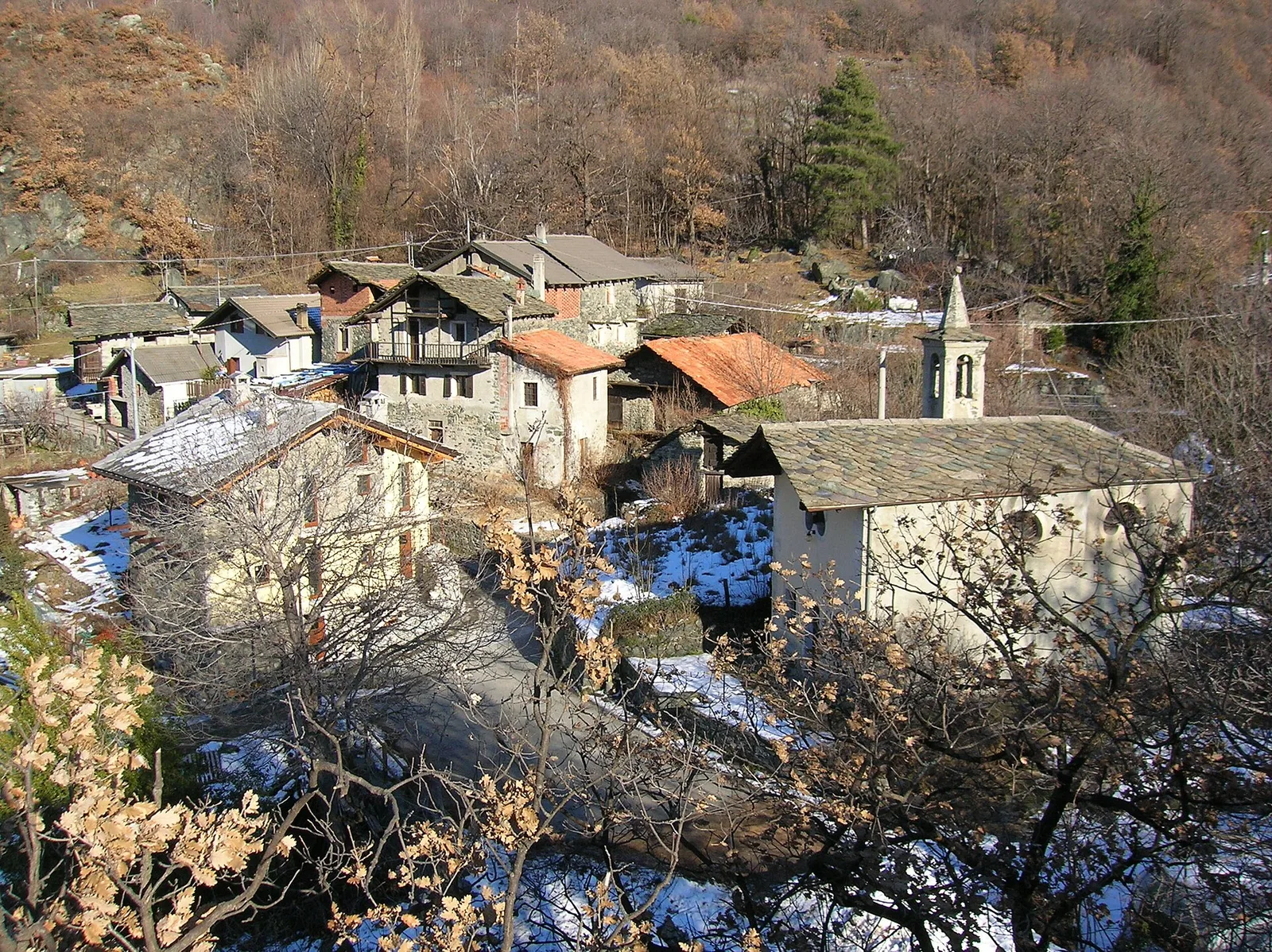
Valtournenche
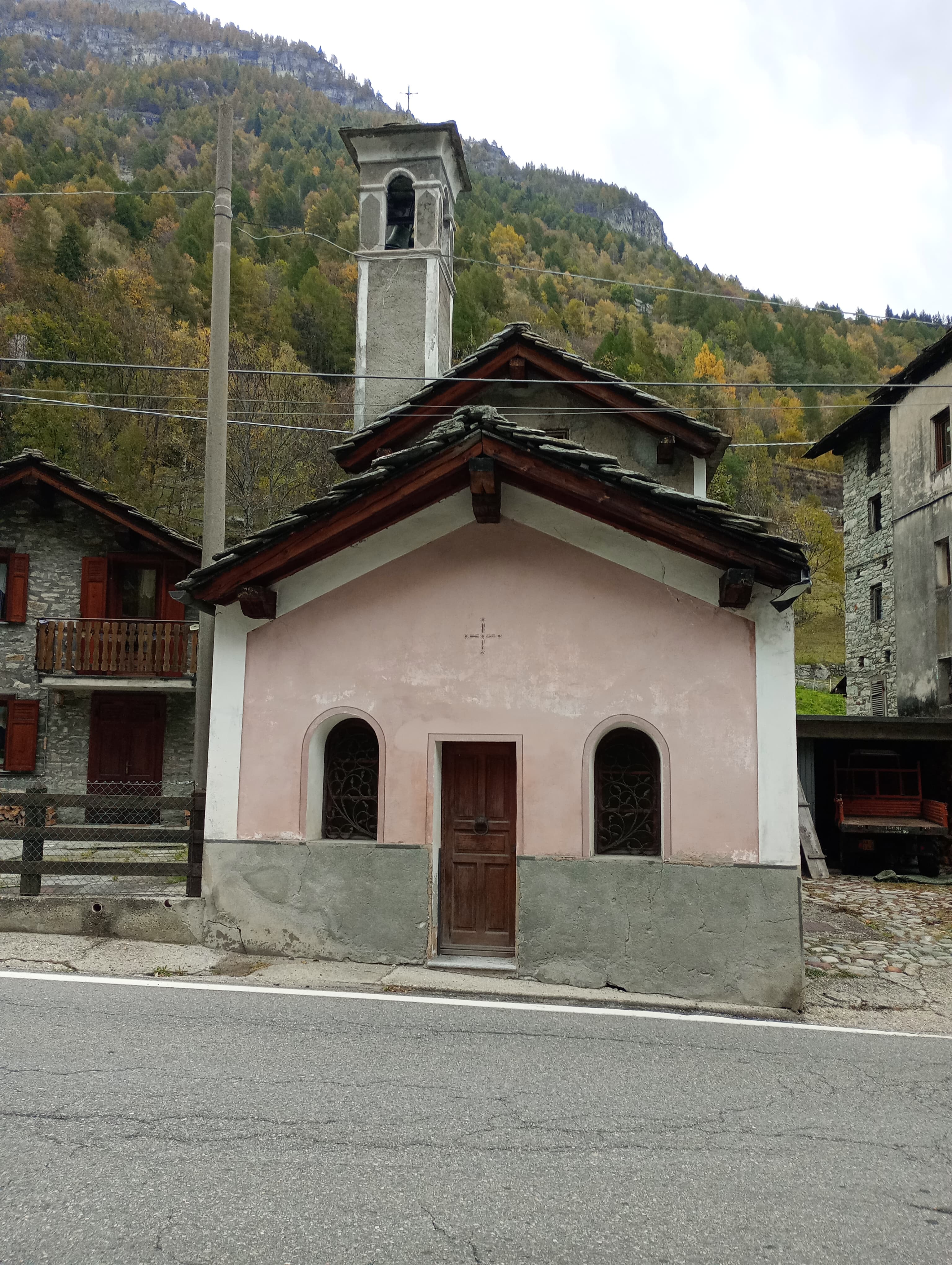
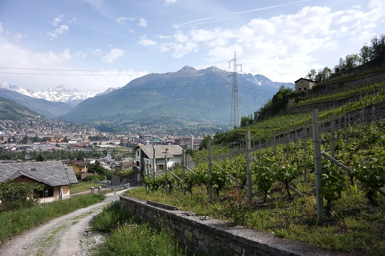
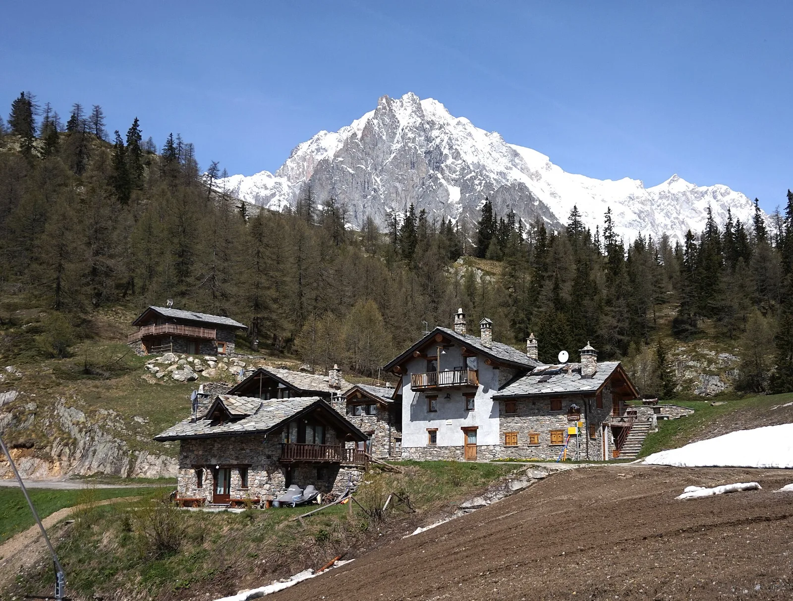
A loop through the sunlit hamlets of Antey and Torgnon: traditional Aosta Valley architecture, vineyards and mid-mountain forest, 5.2 km from Ruvère.
Val Ferret
2.2 km · +291 m · E — from Arp-Nouva to Rif Elena (Great St Bernard Valley).
Valle centrale
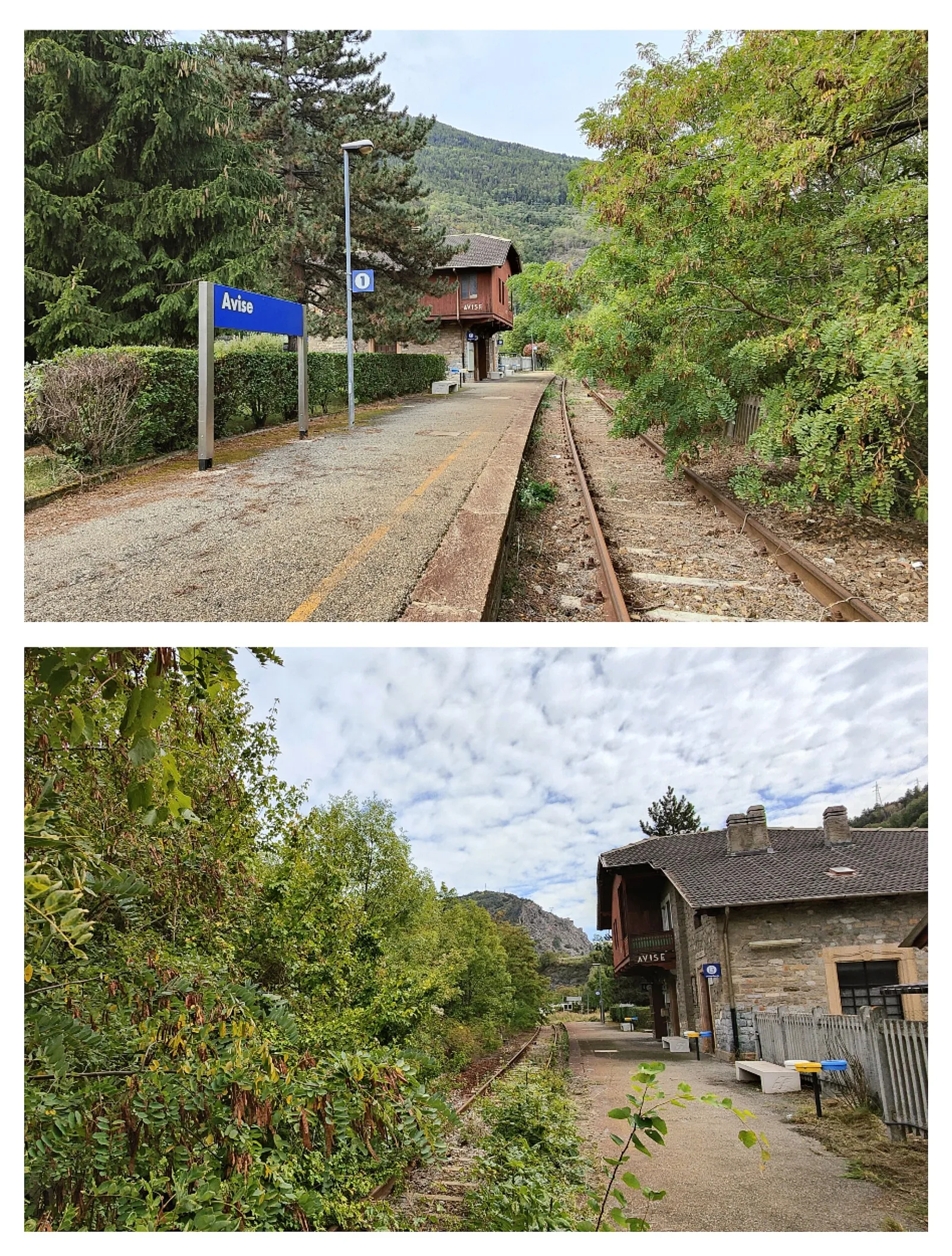
2.6 km · +491 m · E — from Avise to Charbonnière (Valdigne).
Valle centrale
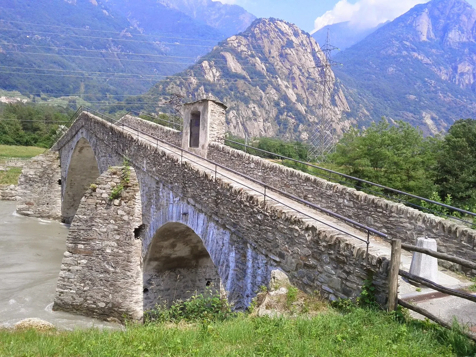
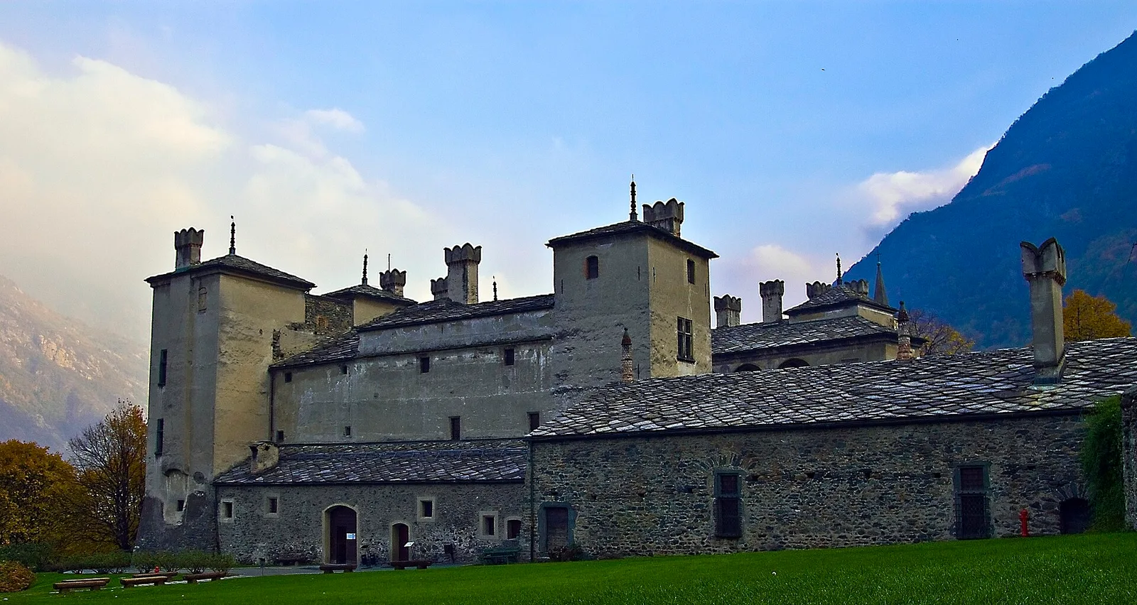
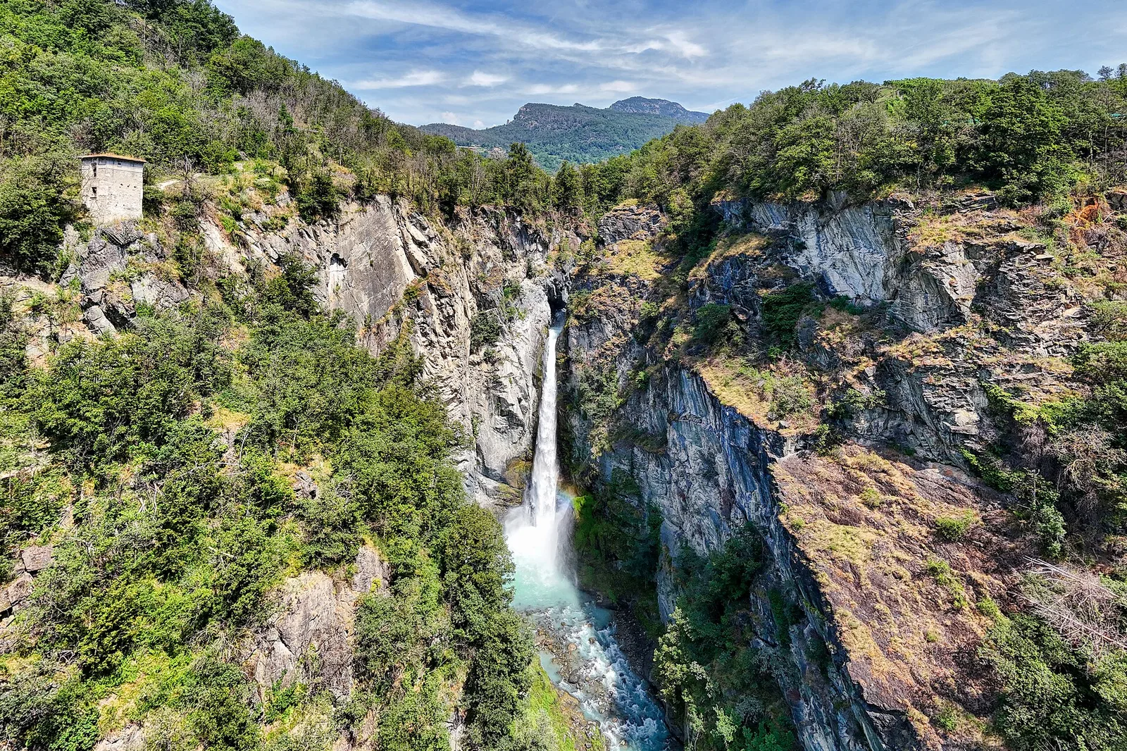
From Moulin to Pont d'Ael (885 m): a short walk to a 3 BC Roman aqueduct bridge, one of the finest preserved in the Alps.

Bassa Valle
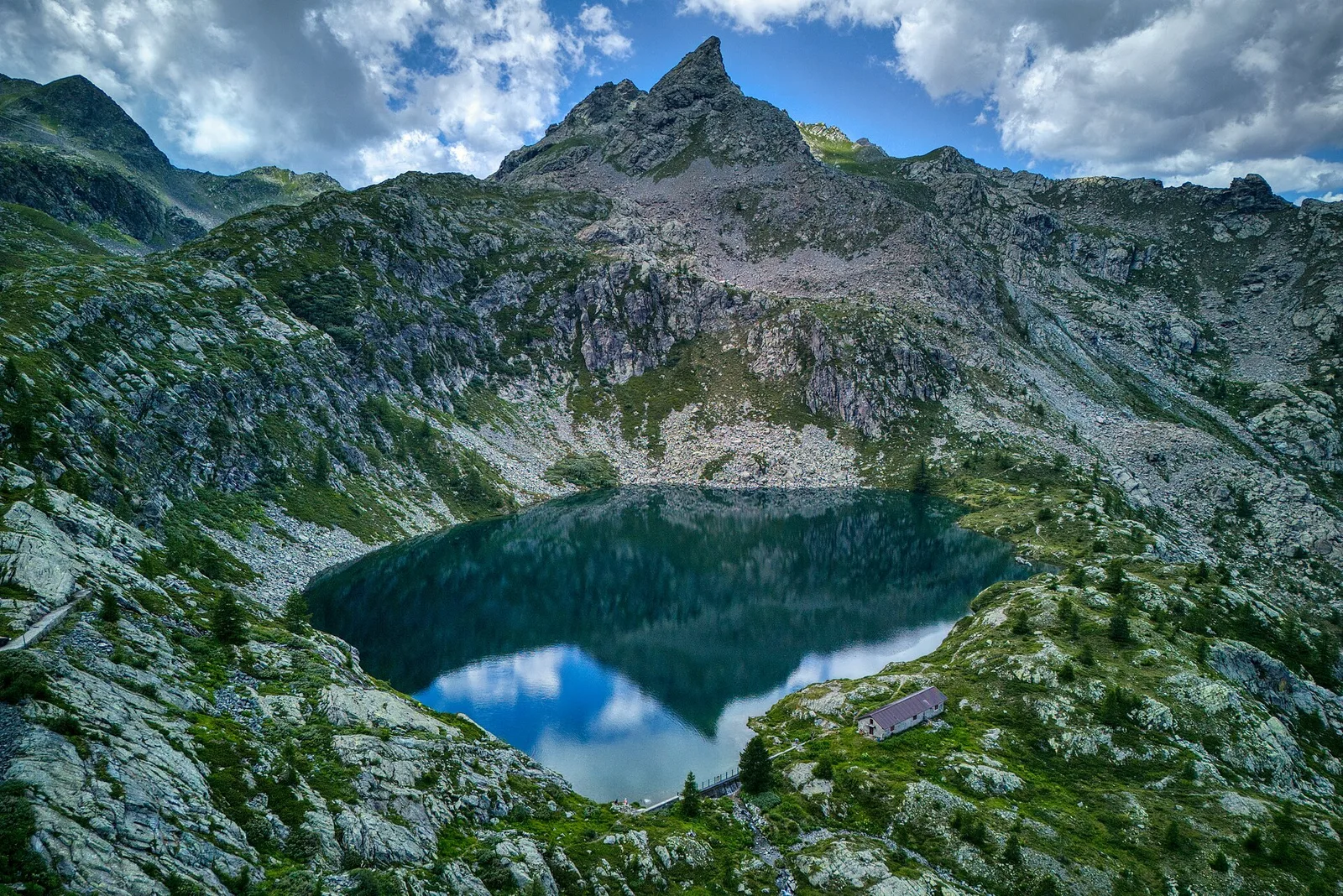
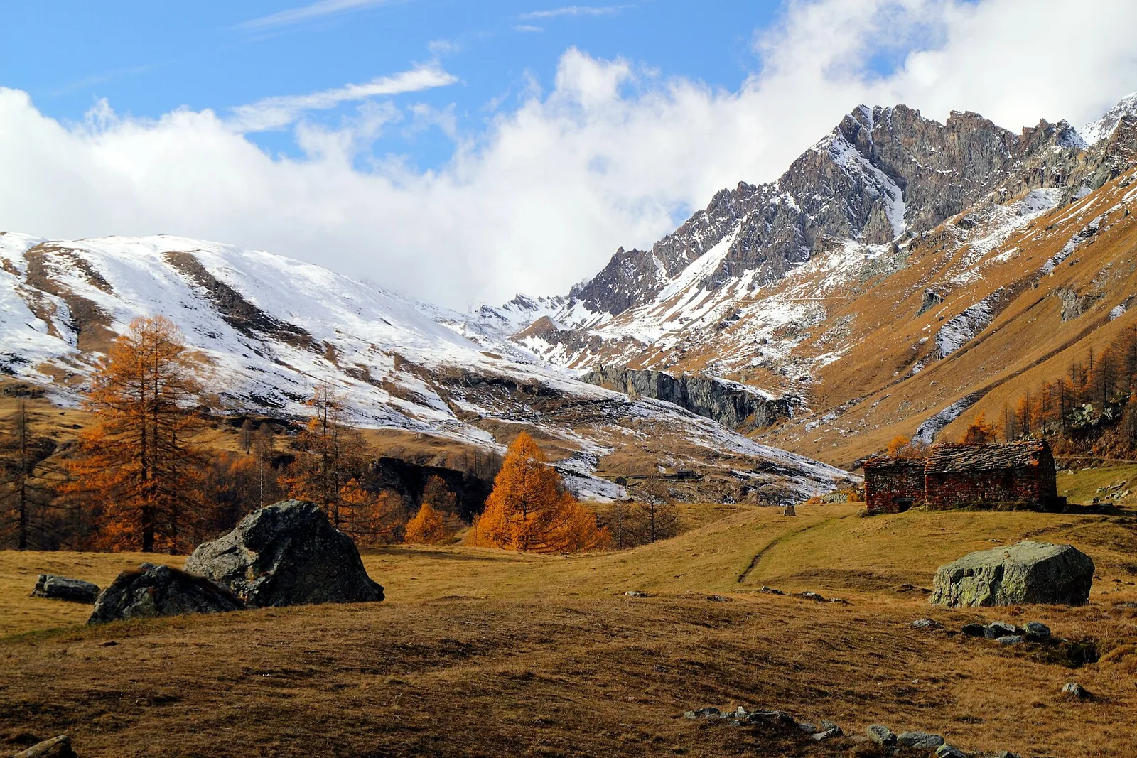
In the commune of Cogne, Gran Paradiso National Park: a climb toward a high-altitude objective in an environment of exceptional natural quality.
Bassa Valle
3.9 km · +549 m · E — from Biel to Serra di Biel (Valsavarenche).
Valle centrale
3.7 km · +500 m · E — from Blavy to Grandzette (Valpelline).
Valtournenche
1.8 km · +21 m · T — from N.D. to N.D. (Central Valley).
Valle del Lys
0.6 km · +80 m · E — from Start 7B to Cascate di Niel (Great St Bernard Valley).
Valle centrale
0.6 km · +159 m · E — from Cerlogne to Vens (Central Valley).
Val d'Ayas
1.6 km · +255 m · E — from Champoluc to Cascata Mascognaz (Central Valley).
Valle centrale
1.2 km · +181 m · E — from Charvensod to Sainte-Colombe (Cogne Valley).
Valle centrale
6.7 km · +1328 m · E — from Chenière to Arpisson (Lys Valley).
Val di Cogne
1.4 km · +246 m · E — from Cogne, capoluogo to Gimillan (Lys Valley).
Valle centrale
1.2 km · +71 m · T — from Col Saint-Charles to Tête d'Arpy (Central Valley).
Valle centrale
4.9 km · +831 m · E — from Cré to Croix de Bouque (Lys Valley).
Valsavarenche
2.5 km · +549 m · E — from Degioz to Bocconère (Ayas Valley).
Valle centrale
2.7 km · +414 m · E — from Druges to Prapremier (Great St Bernard Valley).
Valle centrale
5.2 km · +578 m · E — from Echarlod to Vedun (confine comunale Avise) (La Thuile).
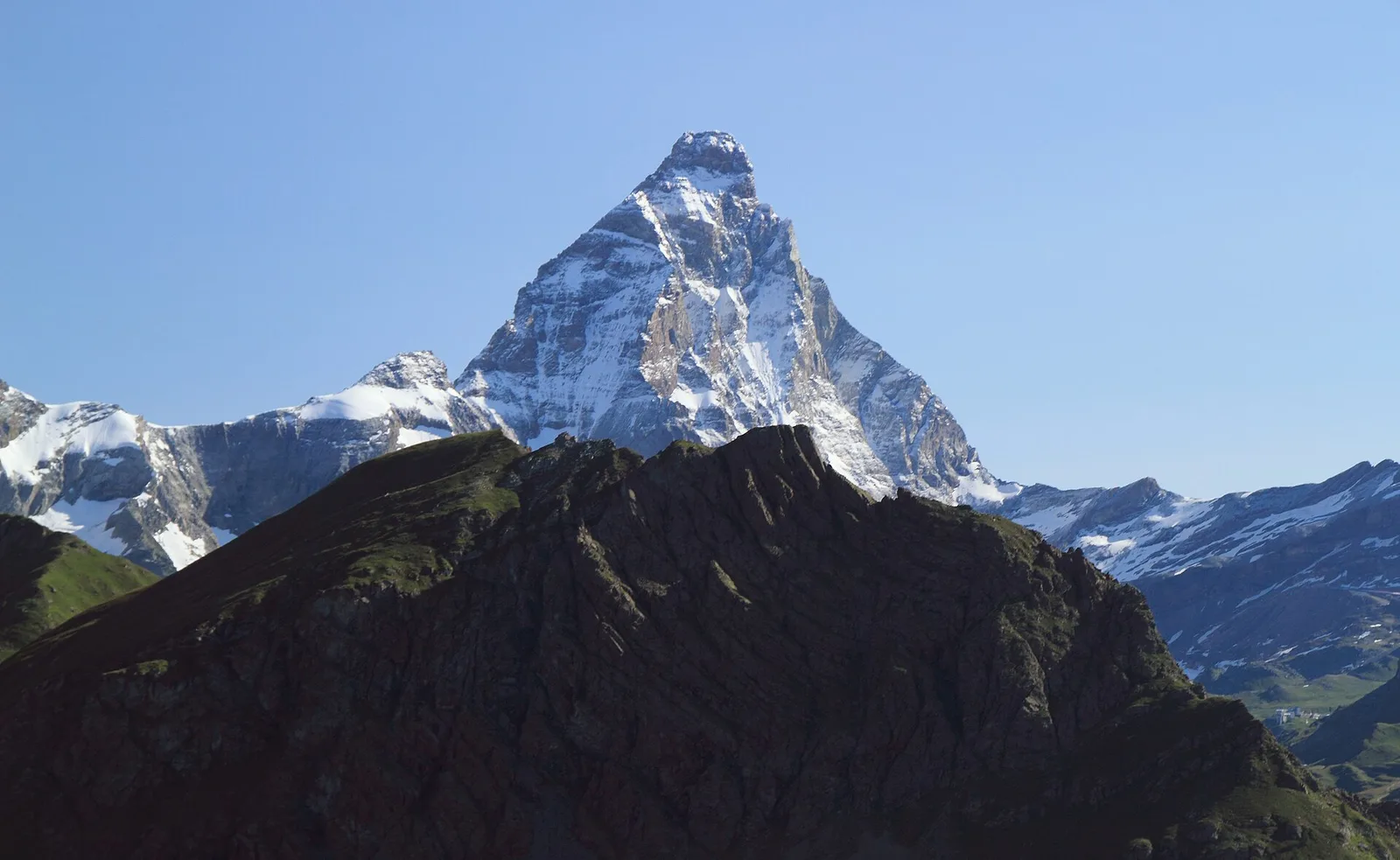
Valtournenche
8 km · +512 m · E — from Etirol to Château (Valpelline).
Valle del Gran San Bernardo
2 km · +288 m · E — from Etroubles to Prailles (Central Valley).

Valle centrale
1.4 km · +164 m · E — from Feilley to Moron (Valtournenche).
Valle di Champorcher
2.3 km · +602 m · E — from Frassiney to Borney (Champorcher Valley).
Valle centrale
0.9 km · +97 m · E — from Les Fabriques to Lignan (Valpelline).
Val d'Ayas
In the Val d'Ayas, commune of Ayas: a steady E-rated climb toward a high-altitude objective on well-marked terrain.
Bassa Valle
7.6 km · +1544 m · E — from Lo Pian to Arvueil (Central Valley).
Valle centrale
6.1 km · +1274 m · E — from Miserègne to Bec Tolomon (Lys Valley).
Valle centrale
4.1 km · +892 m · E — from Moline to Brein (Lys Valley).
Val d'Ayas
6.5 km · +1049 m · E — from Mure to Boden (Central Valley).
Valle del Lys
3.7 km · +790 m · E — from Nantay to Ruine damon (Central Valley).
Valle di Champorcher
5.2 km · +796 m · E — from Outre l'Eve to Alpe Chenessy (Valtournenche).
Valtournenche
3.7 km · +317 m · E — from Paquier to Champleve (Central Valley).
Valle di Champorcher
1.4 km · +381 m · EE — from Petit-Rosier to Col de Poussauel (Valtournenche).
Valle centrale
1.8 km · +355 m · E — from Pingaz to Novellioz (Valtournenche).
Valtournenche
4.8 km · +0 m · E — from Plan to Berzin (Central Valley).
Val Veny
2.4 km · +379 m · E — from Plan Checrouit to Col Checrouit (Great St Bernard Valley).
Valgrisenche
1.3 km · +319 m · E — from Planté to Verconey damon (Valtournenche).
Bassa Valle
5 km · +873 m · E — from Pramotton to Innesto Baraton (Valtournenche).
Valle centrale
4.5 km · +640 m · E — from Pré Saint-Didier to Elevaz (Rhêmes Valley).
Valle del Lys
6.6 km · +1335 m · E — from Quinçod to Merendiou (Ayas Valley).
Valle centrale
1.6 km · +202 m · E — from Remiod (Rumiod) to Grand Sarriod (Central Valley).
Valgrisenche
In the Valgrisenche the route climbs through forest and meadows toward upper pastures: an E-rated itinerary in the commune of Arvier.
Valle del Gran San Bernardo
10.4 km · +67 m · E — from Reysod to Etroubles (Central Valley).
Valle centrale
In the Valdigne, La Salle: an E/EE-rated climb toward upper slope zones with views of Mont Blanc.
Valle del Lys
4.2 km · +802 m · EE — from Sainte-Marguerite to Col Giassit (Central Valley).
Valle centrale
5.2 km · +926 m · E — from Sarral to Arpilles (Central Valley).
Valle di Champorcher
6.4 km · +967 m · E — from Strada Dondena to Parcheggio Dondena (Valtournenche).
Bassa Valle
2.4 km · +355 m · E — from Strada to Omens (Valtournenche).
Valle del Lys
4.3 km · +155 m · T — from Bivio Villa Margherita to Start 9 (Champorcher Valley).
Valle del Lys
In the commune of Brusson, Val d'Ayas: a route among hamlets and alpine pastures on the sunny slope with valley views.
Valle del Gran San Bernardo
2.4 km · +411 m · E — from Strada Statale 27, start str militare to Plan Puitz (Central Valley).
Valle centrale
6 km · +977 m · E — from Terme to Col de Joux (Valtournenche).

Val d'Ayas
3.2 km · +288 m · E — from Tilly to Mayn (Ayas Valley).
Val d'Ayas
5.7 km · +1091 m · E — from Toffo (Montjovet) to Sommarèse (Great St Bernard Valley).
Valle centrale
3.9 km · +1042 m · E — from Torin to Alpe Mont Giron (Valdigne).
Valle centrale
1.9 km · +80 m · E — from Vetan dessus to Leytanettaz (St-Nicolas) (Central Valley).
Valle centrale
10.7 km · +910 m · E — from Villair to Rifugio Bonatti (Great St Bernard Valley).
Valle centrale
7.3 km · +909 m · E — from Villeneuve to Petit Poignon (Central Valley).
Val d'Ayas
0.5 km · +86 m · E — from — to — (Ayas Valley).