E
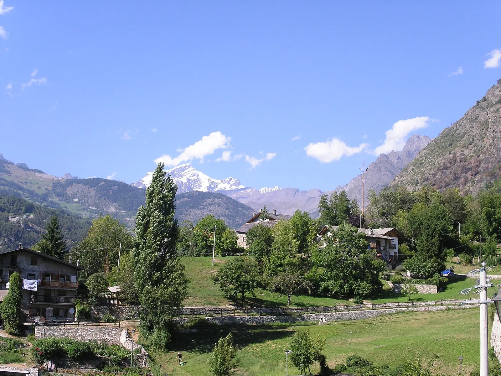
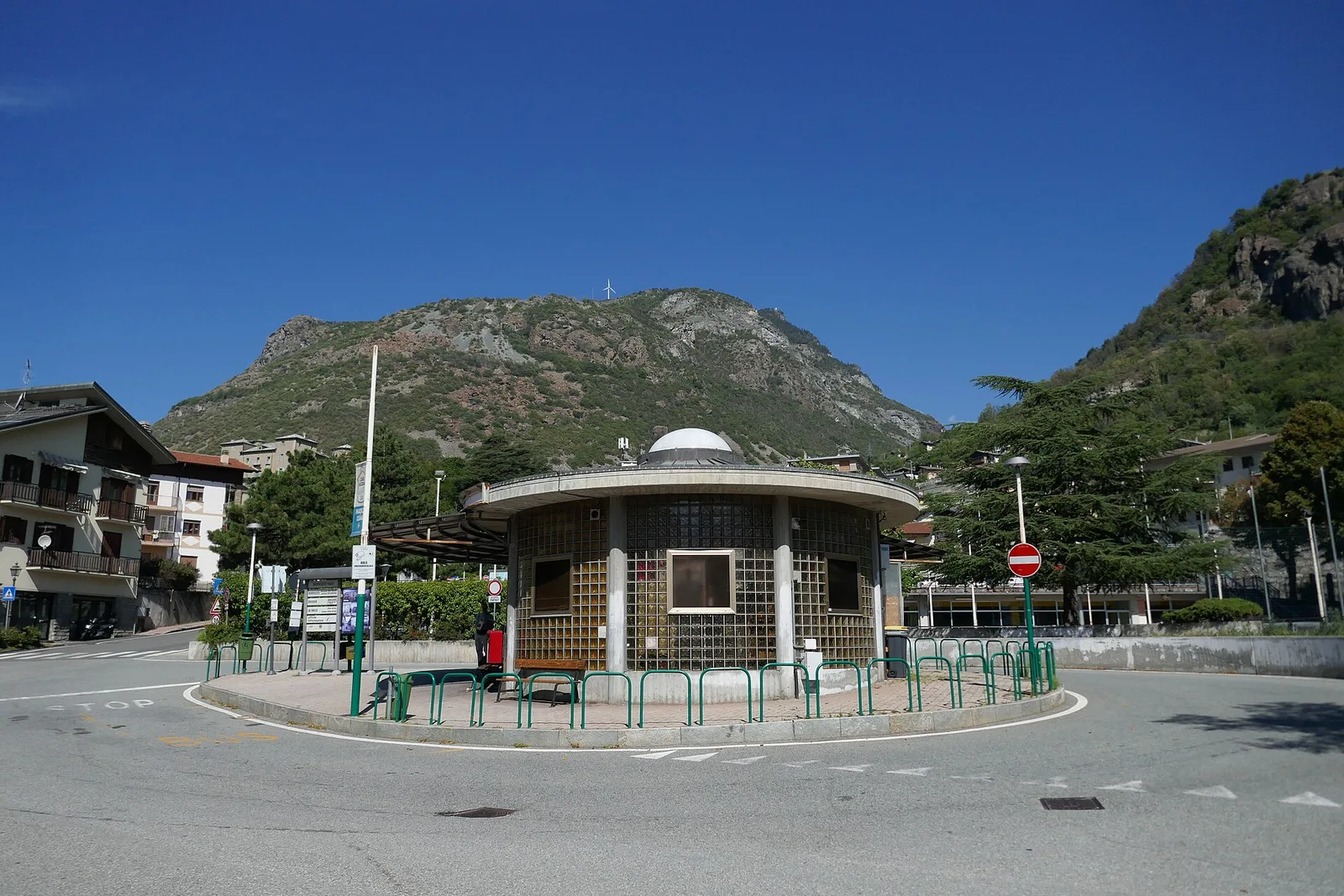
Valle centrale
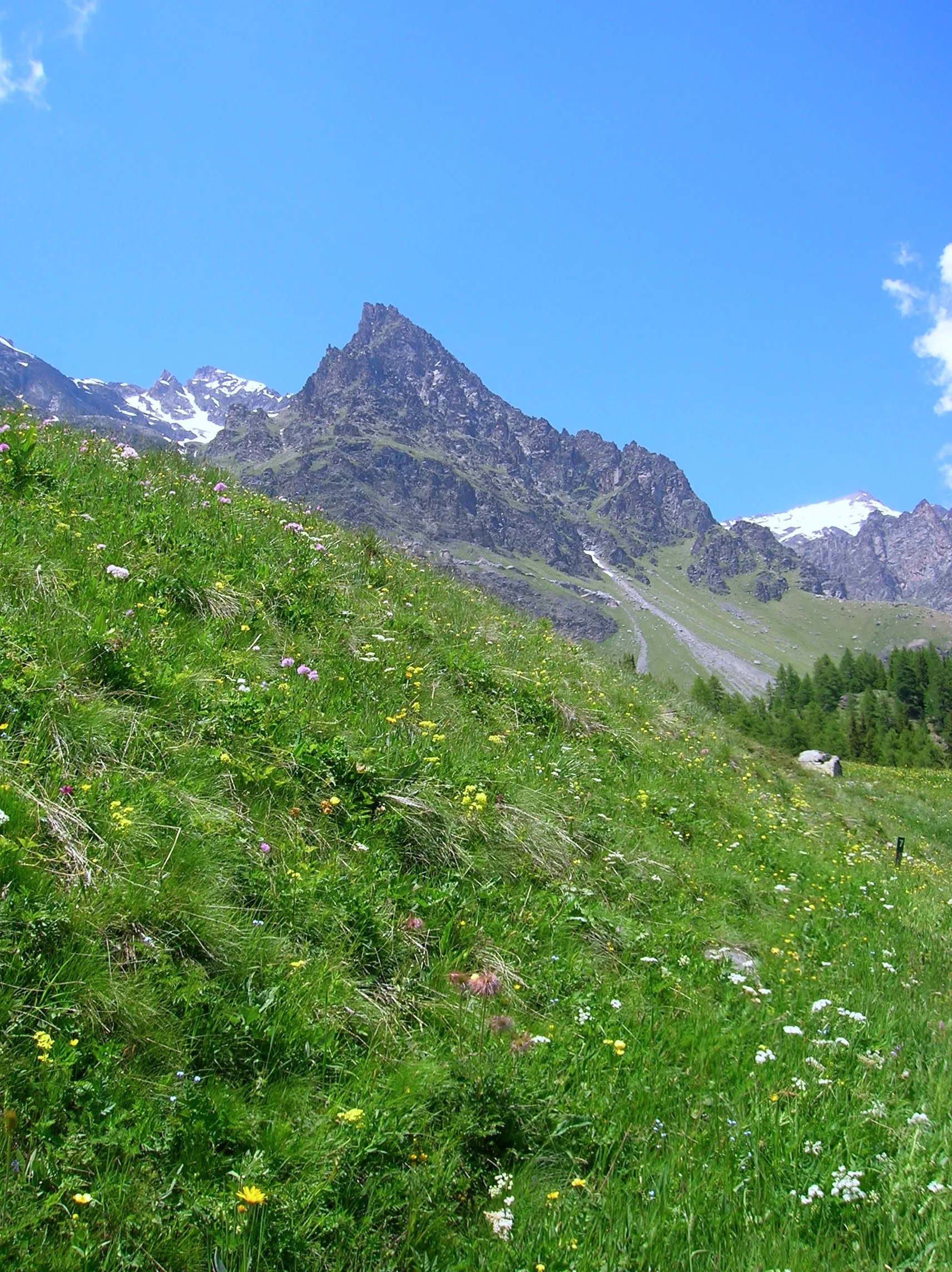
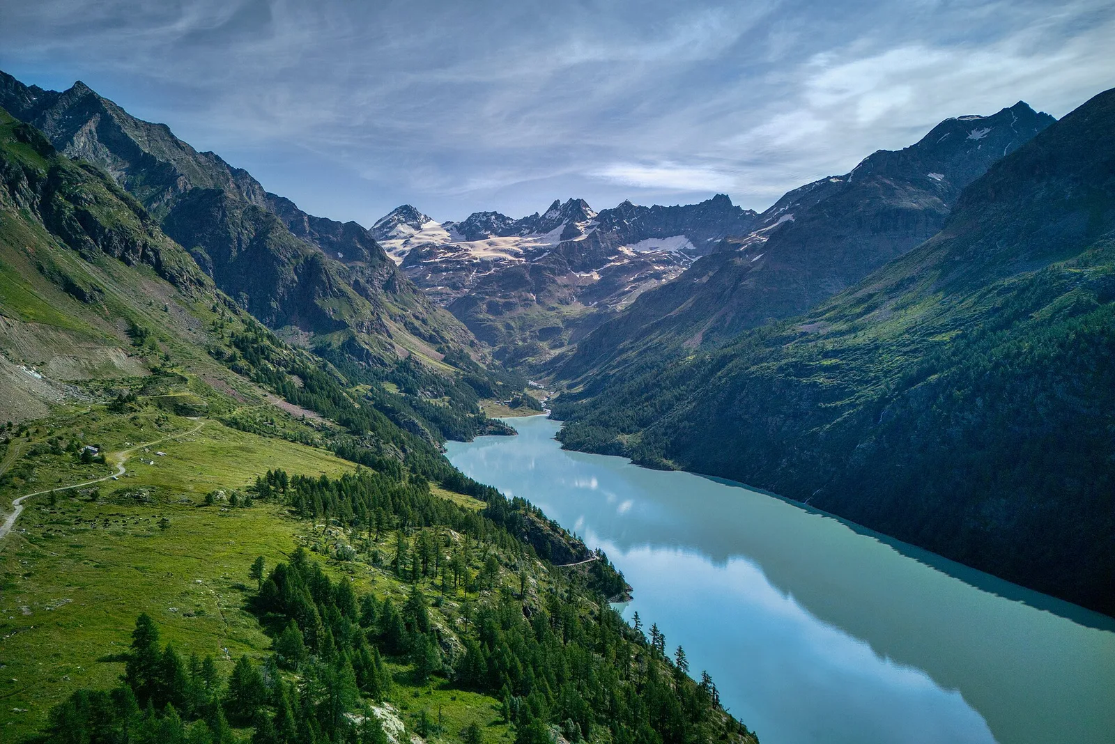
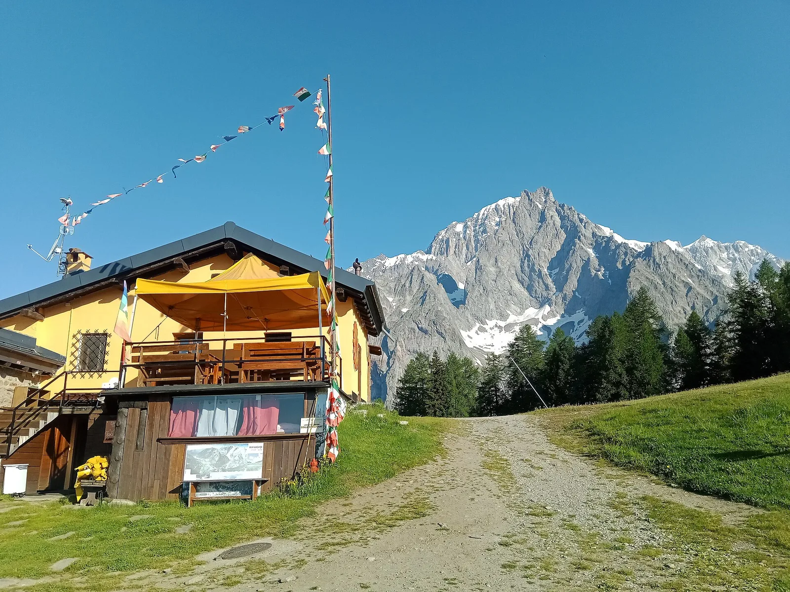
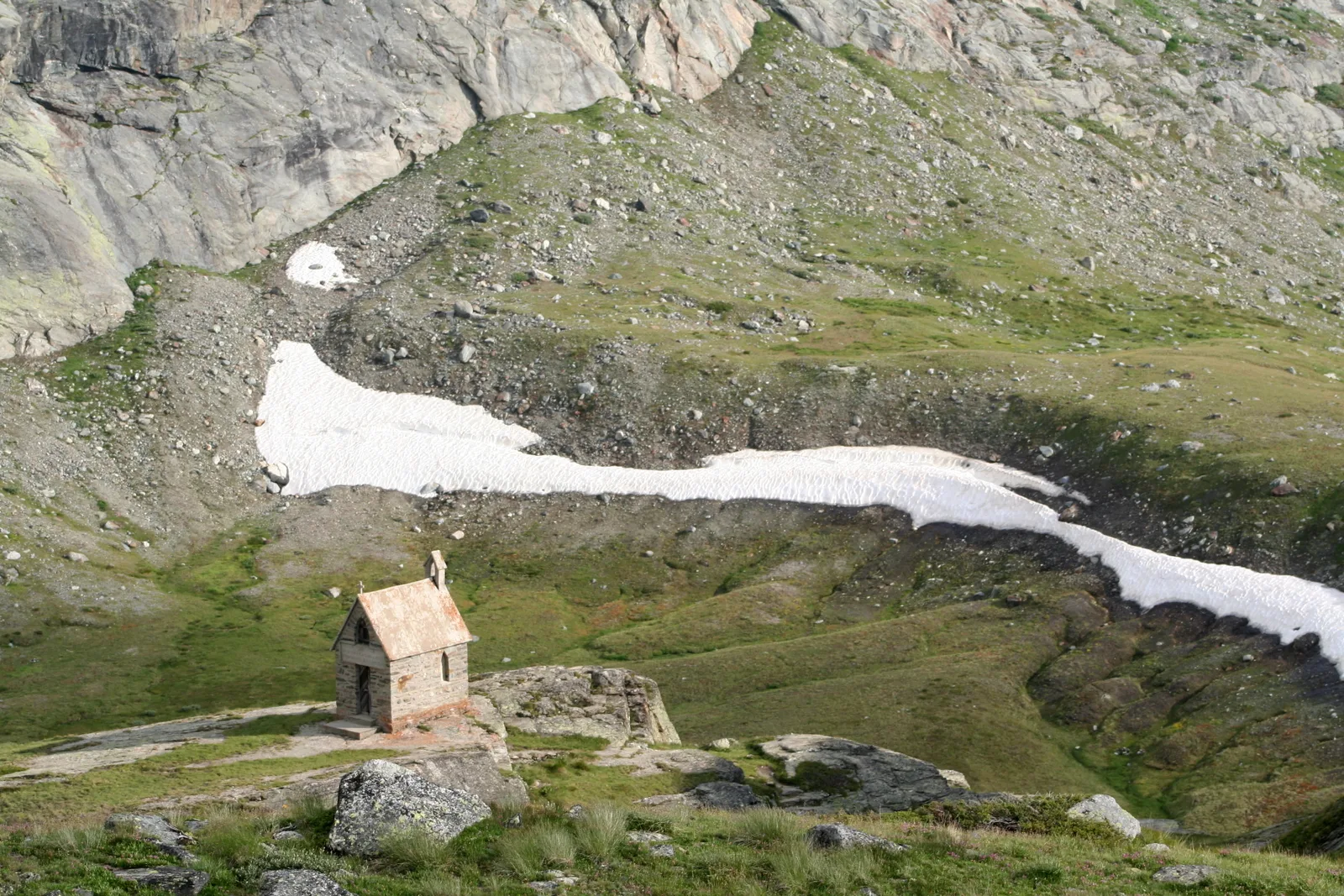
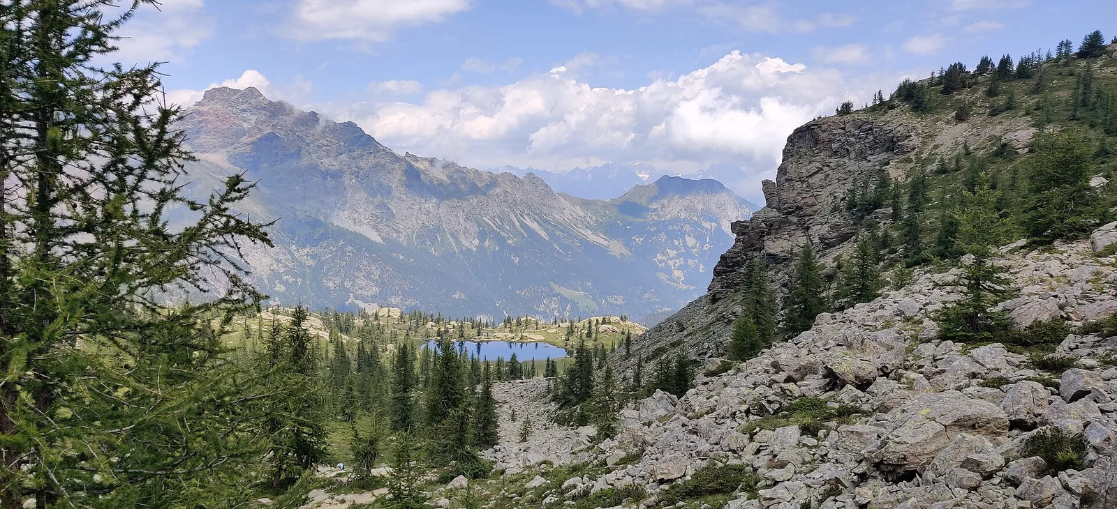
Anello di Tzère
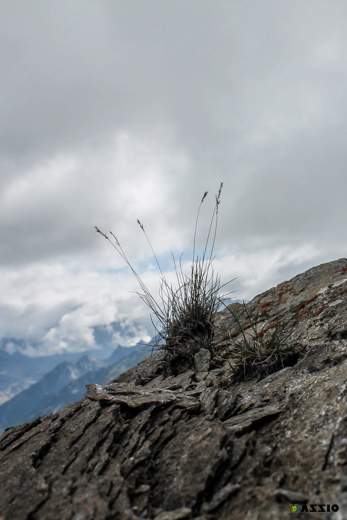
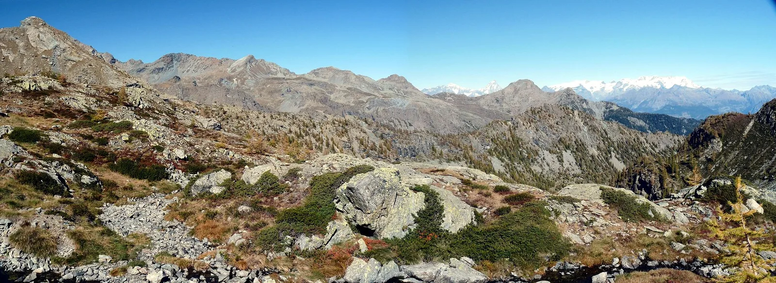
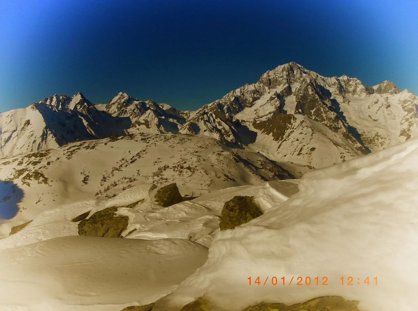
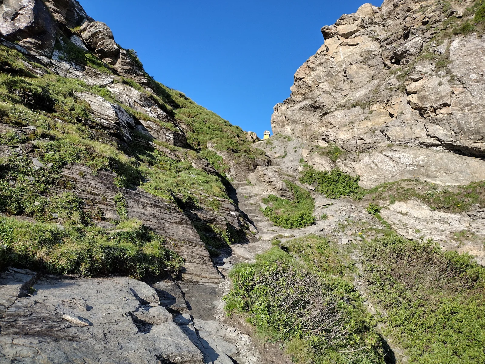
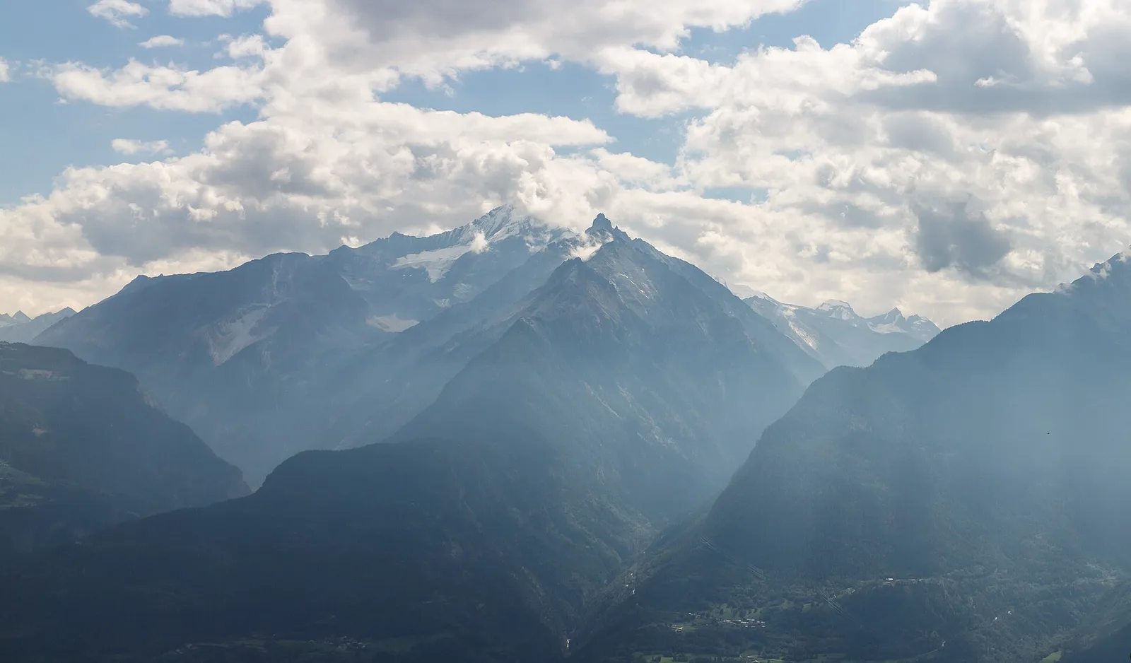
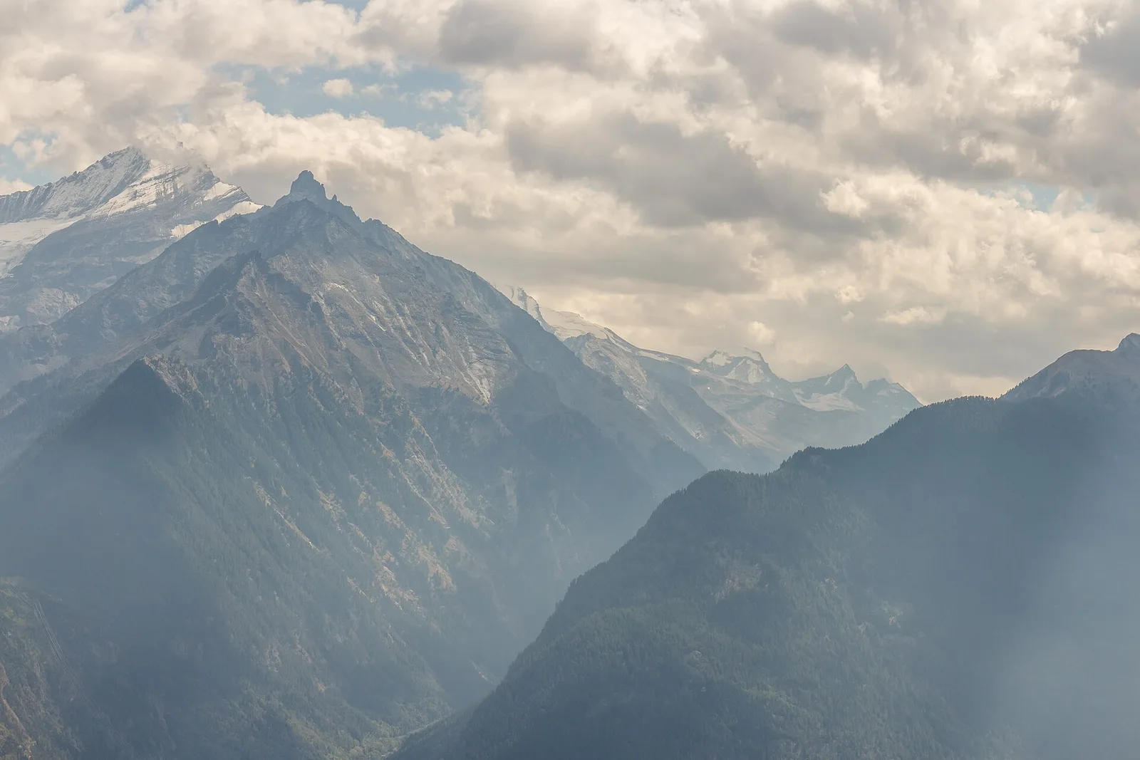
Commune of Ayas: an EE climb toward the high ground of the Vallone delle Cime Bianche.
6.2 km+956 m4 h
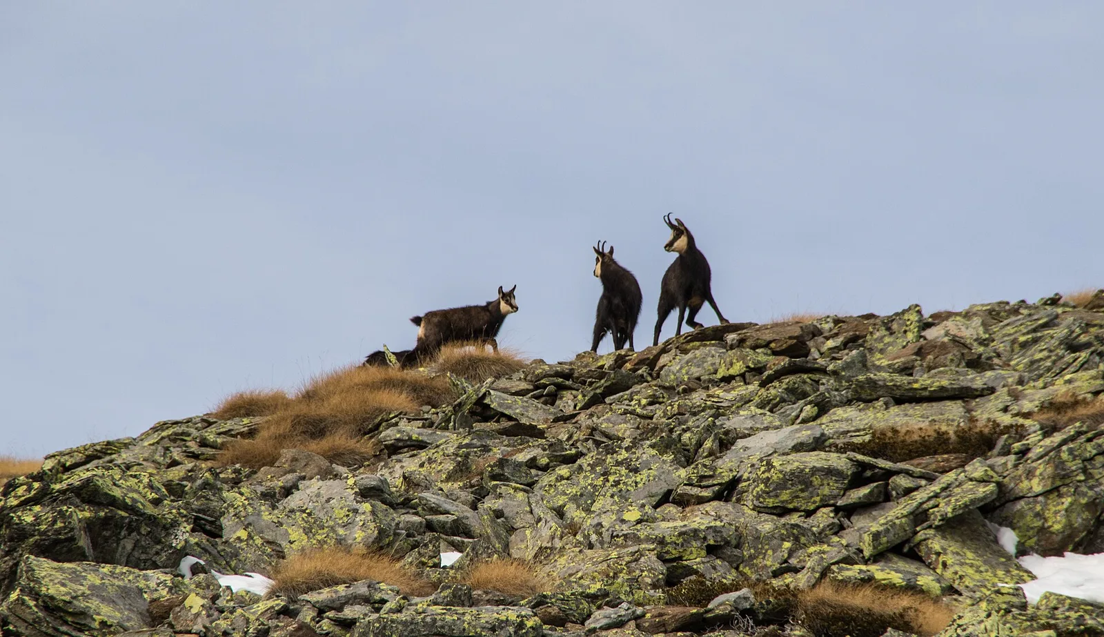
Where to spot
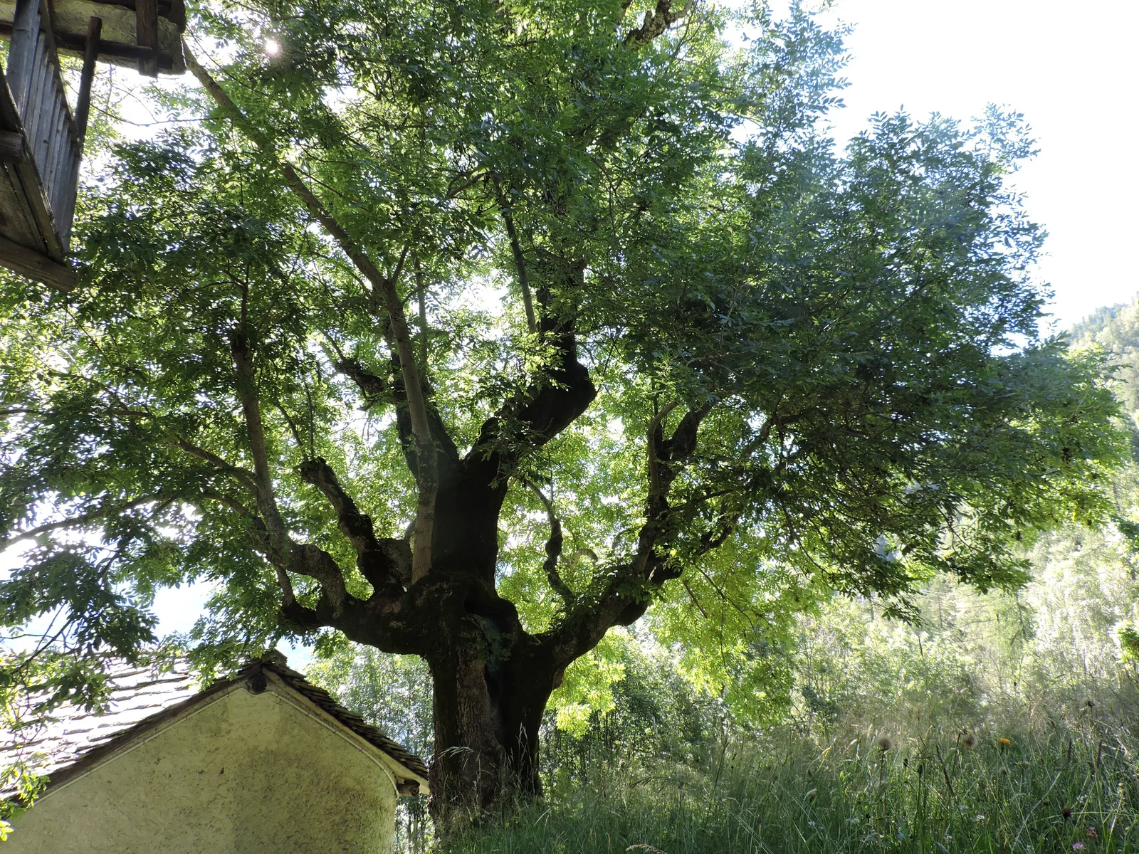
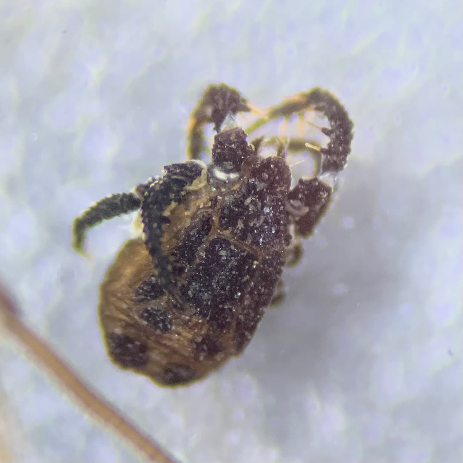
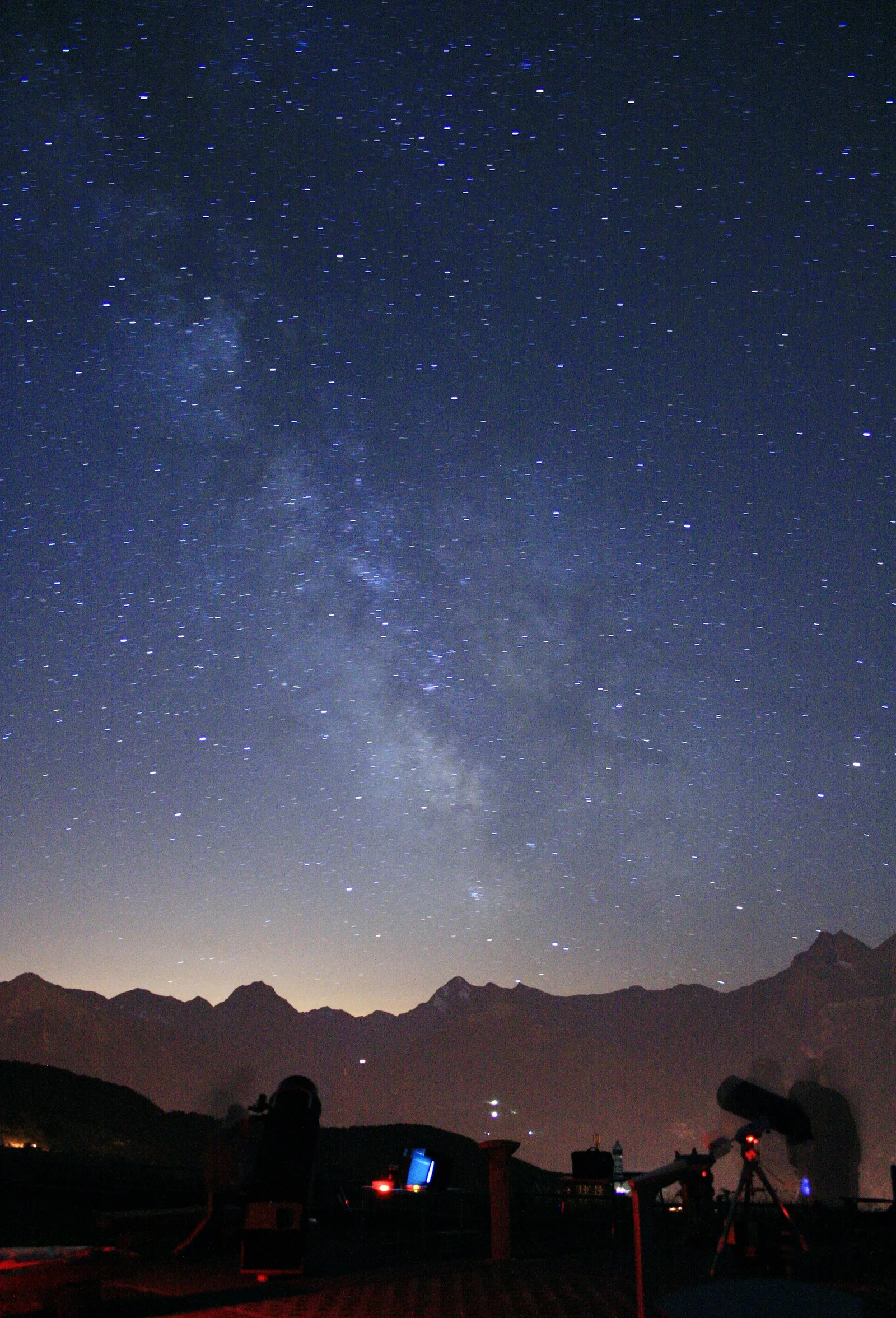
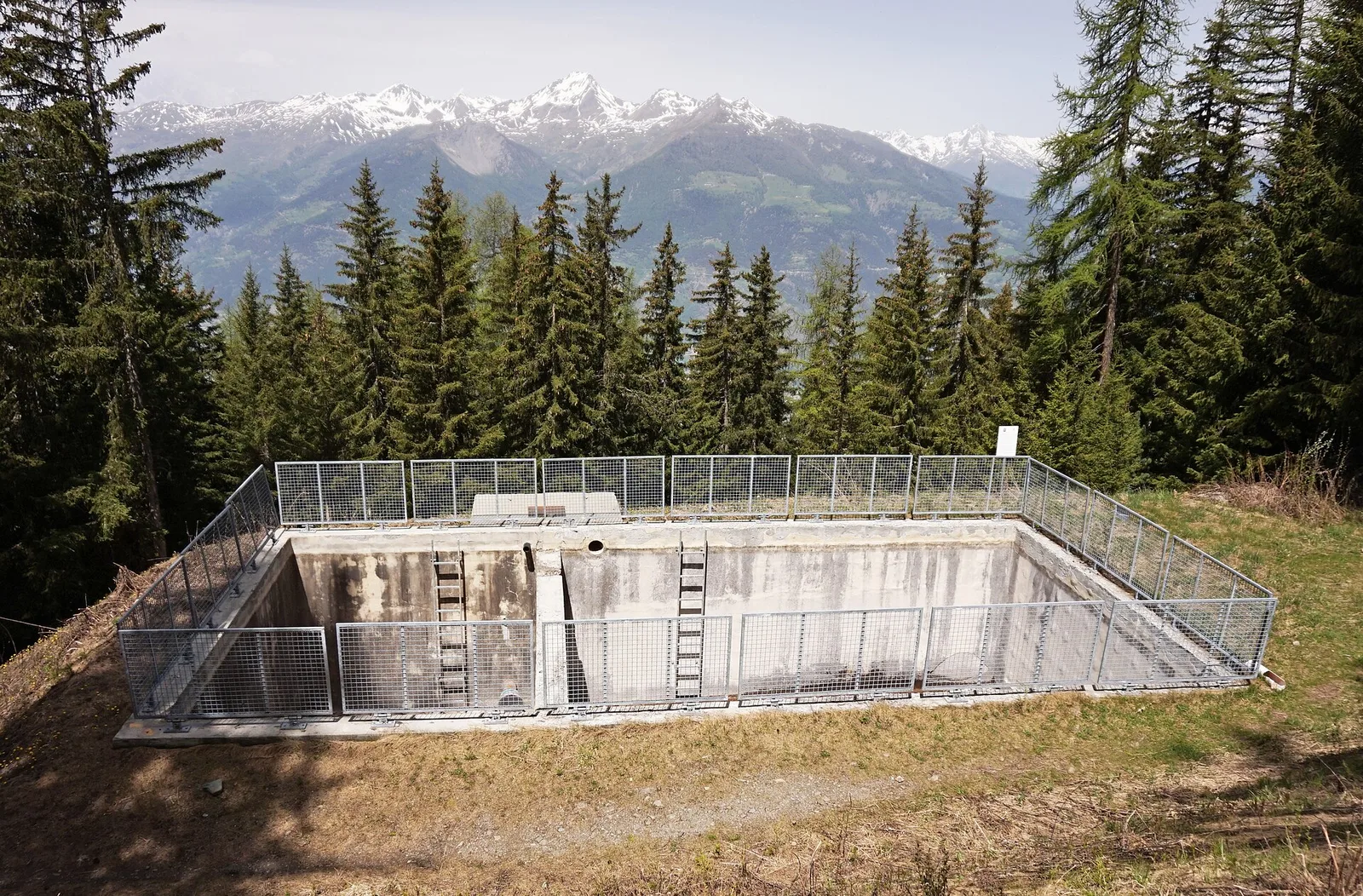
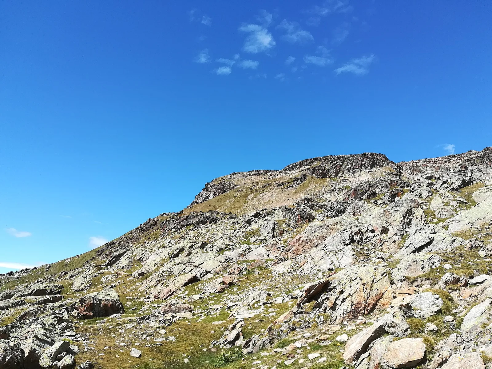
79 trails where Peregrine falcon is listed in flora/fauna: difficulty T–EE, elevation gain 0–1940 m.
79 · 0.6–18.7 km · +0–1940 m
Valle centrale
Commune of Ayas: an EE climb toward the high ground of the Vallone delle Cime Bianche.
Valtournenche
5 km · +706 m · E — from Bivio strada per Grand Alpe to Col du Mont (Valtournenche).
Valpelline
3.8 km · +694 m · E — from Blavy to La Bourra (Valpelline).
Valpelline
9.3 km · +968 m · E — from Blavy to Praz (Valpelline).
Val d'Ayas
In the commune of Brusson, Val d'Ayas: an accessible route among pastures and hamlets with panoramic views.

Valle del Gran San Bernardo
0.6 km · +80 m · E — from Start 7B to Cascate di Niel (Great St Bernard Valley).
Valle centrale
0.6 km · +159 m · E — from Cerlogne to Vens (Central Valley).
Valle del Lys
2.8 km · +391 m · E — from Champlong to Montroz (Lys Valley).
Valle del Gran San Bernardo
1.8 km · +74 m · T — from Chanavey to Bruil, Foyer de Fond (Great St Bernard Valley).
Valpelline
1.3 km · +176 m · E — from Chaté to Musée Petit Monde (Tiatel) (Valpelline).
Valle centrale
5 km · +1299 m · EE — from Parcheggio Cheneil to Mont Roisetta (Central Valley).
Valdigne
6 km · +1256 m · E — from Clapey to Alpe Valmeriana (Valdigne).
Valle del Lys
4.1 km · +218 m · T — from Capoluogo to Cascata di Lillaz (Lys Valley).
Valle centrale
3.3 km · +921 m · E — from Collaré to Mont de Beuby (Central Valley).
Valle del Lys
4.9 km · +831 m · E — from Cré to Croix de Bouque (Lys Valley).
Valtournenche
7.8 km · +1098 m · EE — from Dondena to Mont Glacier (Valtournenche).
Valle centrale
5 km · +823 m · E — from Eternod to Mont Paglietta (Central Valley).
Val di Rhêmes
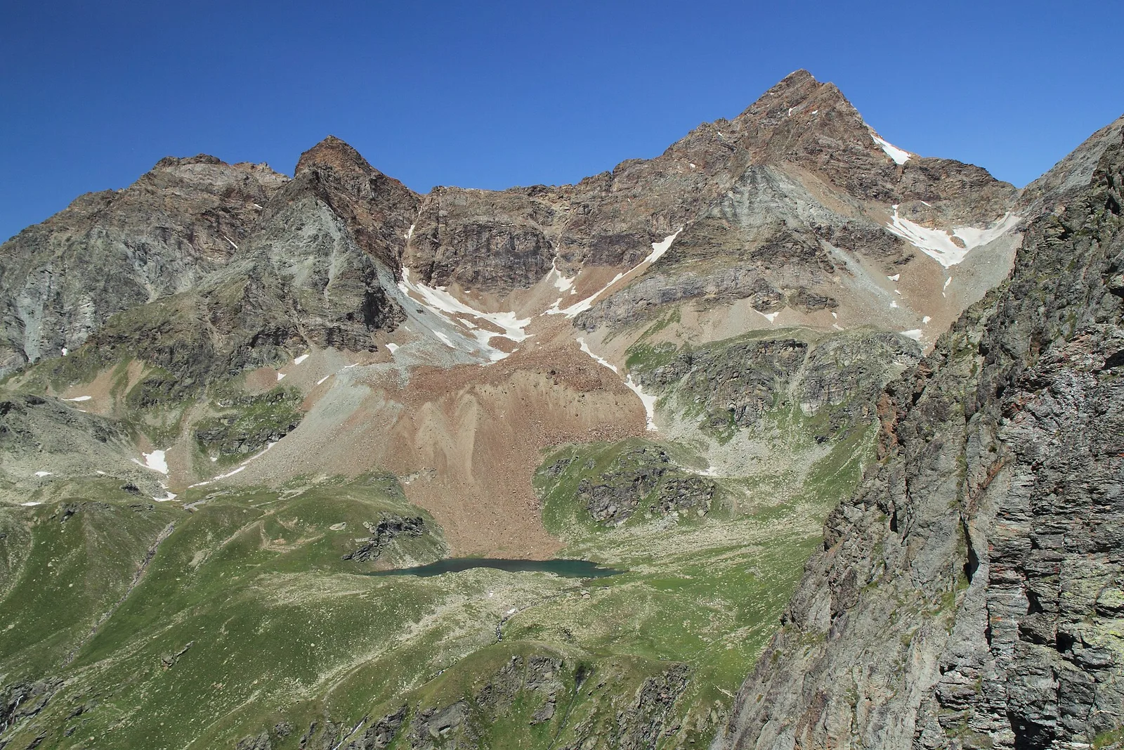
9.9 km · +1151 m · EE — from Fonteil to Becca d'Aveille (Rhêmes Valley).
Valle centrale
2.5 km · +364 m · E — from Fossaz, strada carrozzabile per Vens to Vens (Central Valley).
Val d'Ayas
2 km · +441 m · T — from Pasquier to La Croix (Ayas Valley).
Val d'Ayas
2.8 km · +497 m · T — from Pasquier to La Croix (Ayas Valley).
Valtournenche
1.1 km · +265 m · EE — from Gontier to Grand-Mont-Blanc (Valtournenche).
Valtournenche
1.7 km · +247 m · E — from Grand-Rosier to Col de Plan Fenetre (Valtournenche).
Valle del Lys
5.6 km · +1012 m · E — from Gressan , Clapey to Pila (Residence Ciel Bleu) (Lys Valley).
Val d'Ayas
9 km · +1662 m · E — from Isollaz to Col Dondeuil (Ayas Valley).
La Thuile
5.3 km · +1205 m · EE — from Joux to Becca Pouegnenta (La Thuile).
Val di Cogne
4.7 km · +545 m · E — from La Pissine Sal� to Ermitage de Saint-Grat (Cogne Valley).
Valle del Lys
4 km · +593 m · E — from Combes to Plan Bry (confine comunale Valgrisenche) (Lys Valley).
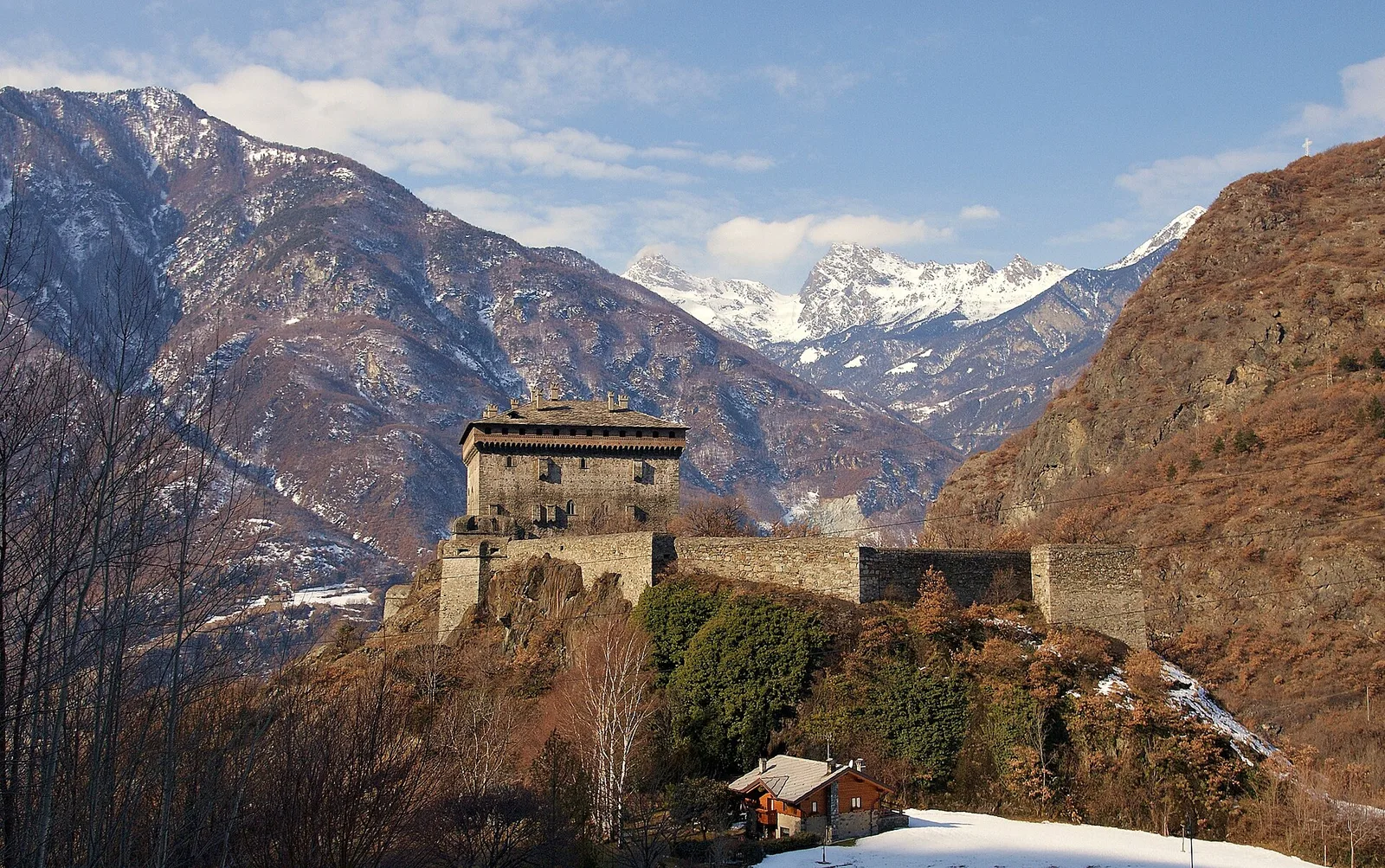
Valgrisenche
In the Valgrisenche, Arvier: a significant E-rated climb through forest toward upper pastures.
Valpelline
5.2 km · +408 m · E — from Lignan to Praz (Valpelline).
Valle del Gran San Bernardo
2.8 km · +802 m · E — from Lihrla to Alpe Grignatz (Great St Bernard Valley).
Valle centrale
7.6 km · +1544 m · E — from Lo Pian to Arvueil (Central Valley).
Valle centrale
0.9 km · +39 m · E — from Chez-Percher to Cau (Central Valley).
Valle del Lys
3.2 km · +339 m · E — from Marchaucy to Ponteille (Lys Valley).

Valle centrale
3.9 km · +830 m · E — from Marine to Col Fênetre (Central Valley).
Valtournenche
9.2 km · +1353 m · E — from Mondanges to Col de Feleumaz (Valtournenche).
Valtournenche
8.8 km · +1603 m · E — from Monteil to Lac Liet (Valtournenche).
Valle centrale
7.9 km · +832 m · E — from Morgex, sentiero 8, quota 950 to Petosan (Central Valley).
Valle del Gran San Bernardo
3.6 km · +850 m · E — from Niel to Col Lazouney (Great St Bernard Valley).
Valtournenche
3.9 km · +1057 m · E — from Omens to Bec de l'Oie (Valtournenche).
Valtournenche
4.4 km · +515 m · E — from Outre l'Eve to Outre l'Eve (Valtournenche).
Valle centrale
2.3 km · +178 m · E — from Pâquier to Lago Loz (Central Valley).
Valle centrale
1 km · +176 m · T — from Periasc to Antagnod (Central Valley).
Valle del Gran San Bernardo
1.6 km · +583 m · E — from Pianatz to Berord (Great St Bernard Valley).
Val d'Ayas
2.3 km · +307 m · E — from Capoluogo to Salomon (Ayas Valley).
Valle centrale
0.8 km · +156 m · E — from Pilaz to Magnéaz (Central Valley).
Valpelline
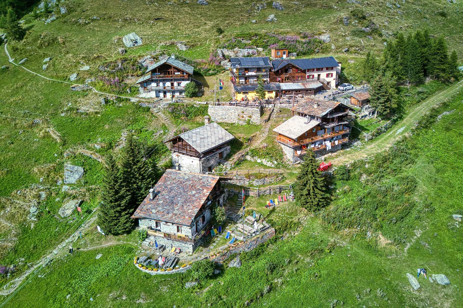
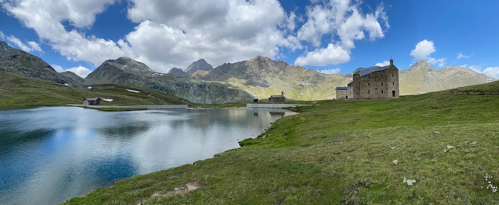
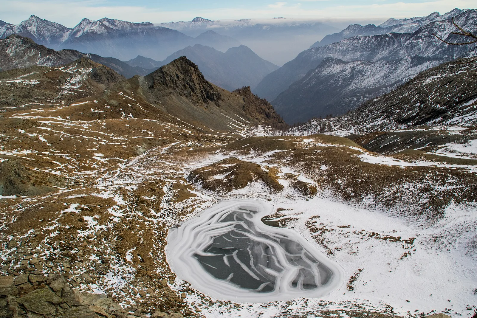
From Place Moulin dam (2011m) to Lac Mort (2865m): 4.9 km in the upper Valpelline toward a glacial lake of stark alpine character. July–September only.
Valle centrale
1.5 km · +163 m · E — from Plan de la Glaea to Gouffres de Bousserailles (Central Valley).
Valle centrale
2.4 km · +790 m · E — from Saint-Roch to Col de Plan Fenetre (Central Valley).
Valle centrale
4.5 km · +428 m · E — from Plan Maison to Colle Superiore Cime Bianche (Central Valley).
Valle del Gran San Bernardo
5.2 km · +200 m · T — from Plan Ponquet to Visaille (giro dei tre ponti) (Great St Bernard Valley).
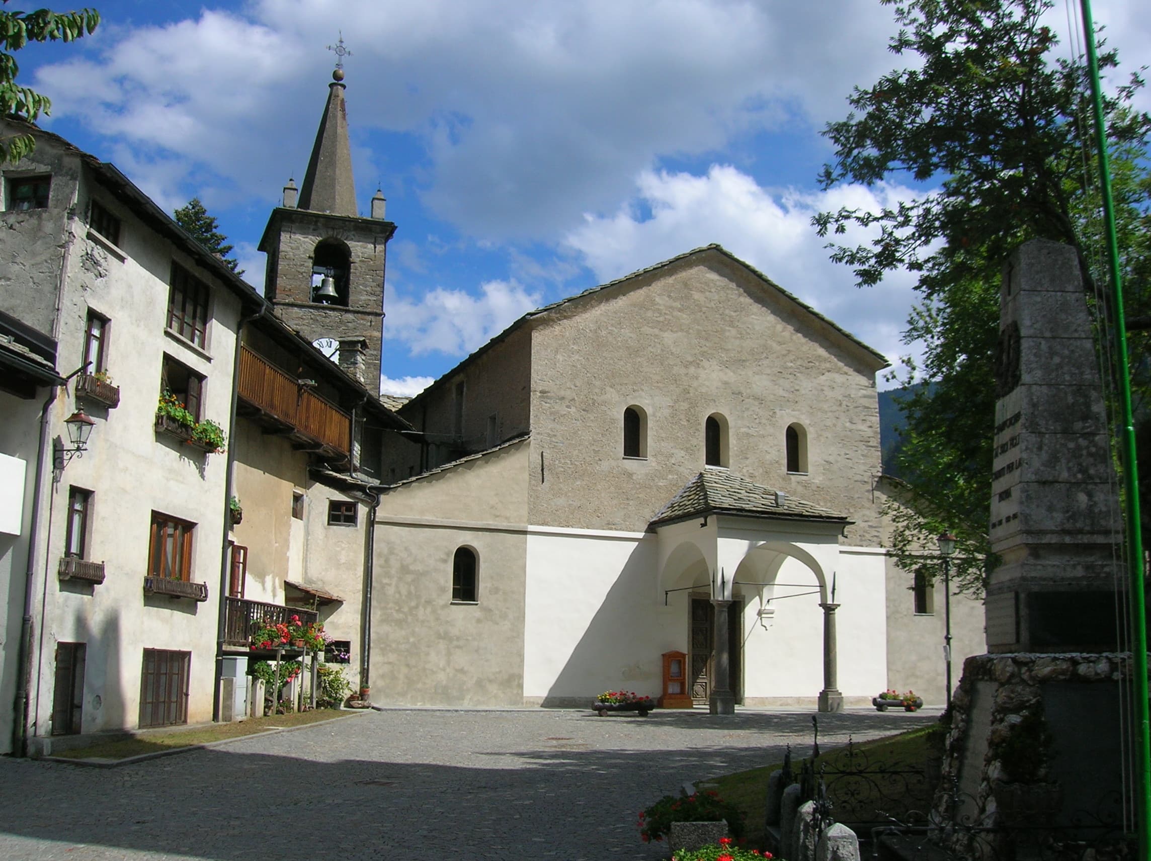
Val d'Ayas
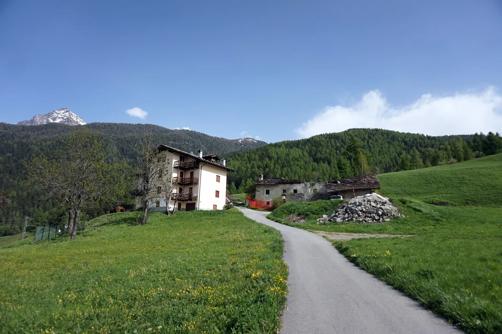
A steady climb in the Val d'Ayas through mid-altitude forest and terraced meadows in Challand-Saint-Anselme: an E-rated route for fit hikers.
Valsavarenche
4.8 km · +166 m · E — from Prelaz to Col des Bornes (Valsavarenche).
Val d'Ayas
In the lower Val d'Ayas, Challand-Saint-Victor: an E-rated climb through vineyards, forest and terraced land toward historic hamlets.
Valle del Lys
4.6 km · +583 m · E — from Rifugio Deffeyes to Pas de Planaval (Lys Valley).
Valle del Lys
6.4 km · +1094 m · EE — from Rifugio del Lys to Rifugio Mantova (Lys Valley).
Valle centrale
2.2 km · +485 m · EE — from Rifugio Grand Tournalin to Becca Trécare (Central Valley).
Valtournenche
4.2 km · +823 m · E — from Capoluogo to Alpe Riond (Valtournenche).
Valtournenche
3.2 km · +823 m · E — from Roisan to Riond (Valtournenche).
Valle del Gran San Bernardo
5.5 km · +663 m · E — from Seissogne to Innesto S12 (Great St Bernard Valley).
Valle del Lys
6.6 km · +1067 m · E — from Stafal to Col d'Olen (Lys Valley).
Valle del Lys
6.9 km · +1063 m · E — from Staffal to Col D'Olen (Lys Valley).
Valtournenche
3.5 km · +745 m · EE — from Strada Dondena to Cima Piana (Valtournenche).
Valle centrale
2.2 km · +274 m · E — from Strada regionale per Arpy to Arpy (Central Valley).
Valle del Gran San Bernardo
15.2 km · +1482 m · E — from Capoluogo to Rifugio Elisabetta (Great St Bernard Valley).
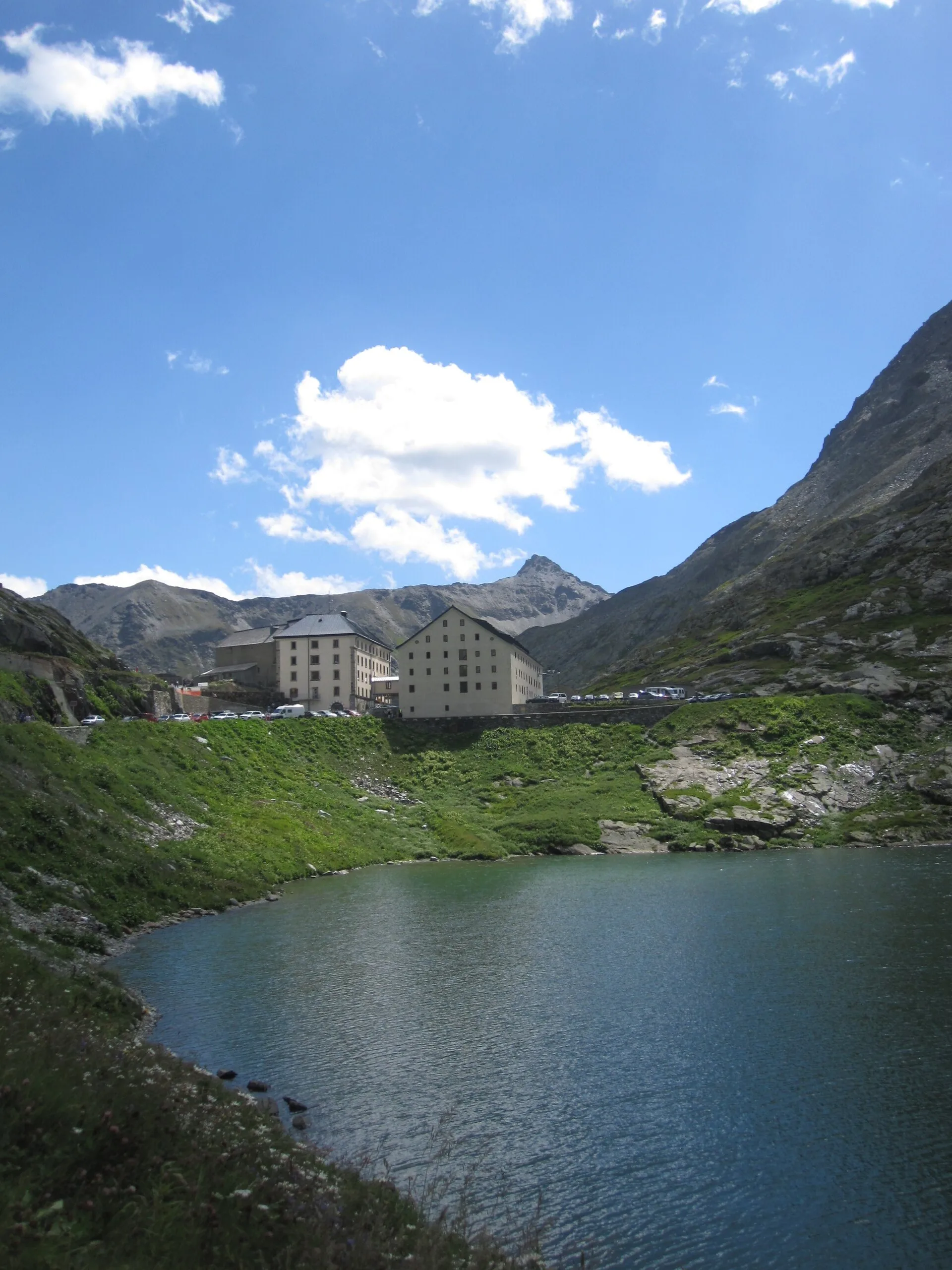
Valle del Gran San Bernardo
15.8 km · +0 m · EE — from Capoluogo to Eaux Rousses (Great St Bernard Valley).
Valtournenche
14.2 km · +1342 m · E — from Saint-Vincent to La Magdeleine (Valtournenche).
Val d'Ayas
6.1 km · +420 m · E — from Institut Agricole to Cappella della Consolata (Ayas Valley).
Val d'Ayas
13.9 km · +1205 m · E — from Arpuilles to Vetan (Ayas Valley).
Valle centrale
18.7 km · +0 m · E — from Vetan to La Salle (Central Valley).
Valle centrale
1.3 km · +0 m · E — from Arnad to Donnas (Central Valley).
Valpelline
17.4 km · +680 m · T — from Plan Porion to Plan Porion (Valpelline).
Valle di Champorcher
6.2 km · +1184 m · E — from Varesa to Buriana (Champorcher Valley).
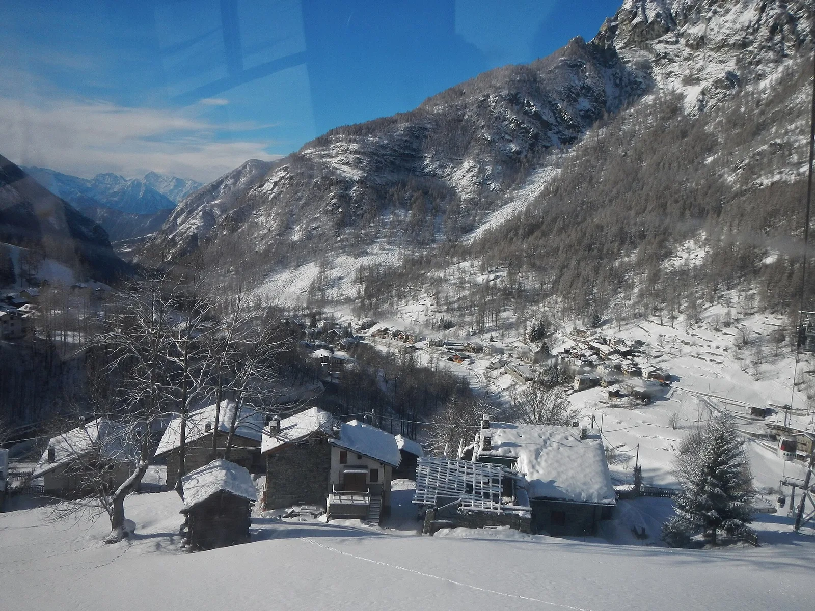
Valdigne
In the commune of La Salle, Valdigne: an accessible route through mixed forest and pastures with views of Mont Blanc.
Valle centrale
1.1 km · +191 m · E — from Verrogne to Vulmian (Central Valley).
Valle centrale
2.4 km · +151 m · E — from Verrogne to Vetan (Central Valley).
Valle centrale
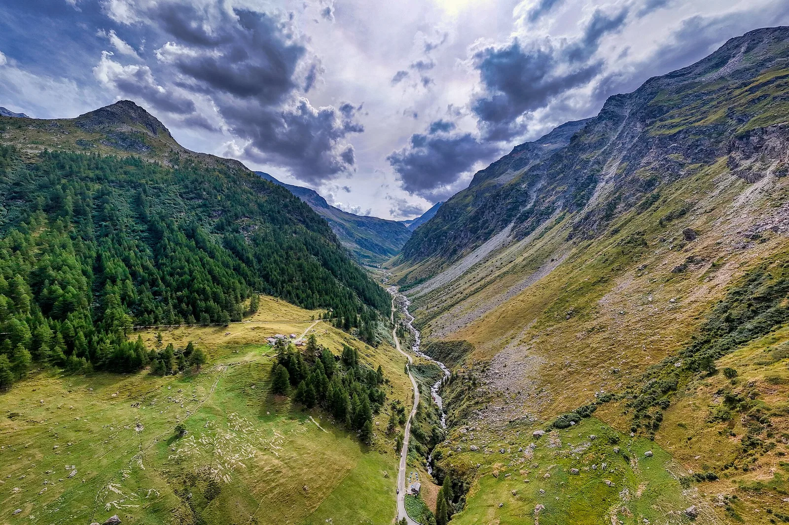
From Veulla (1286 m) to Lac Gelé (2606 m) above Charvensod: 1311 m of sustained ascent to a glacial tarn easily reached from the city of Aosta.
Valle del Gran San Bernardo
2.8 km · +398 m · E — from Villair to Trou des Romains (Great St Bernard Valley).
Val d'Ayas
1.5 km · +331 m · E — from Vollon (Brusson) to Salomon (Ayas Valley).