E
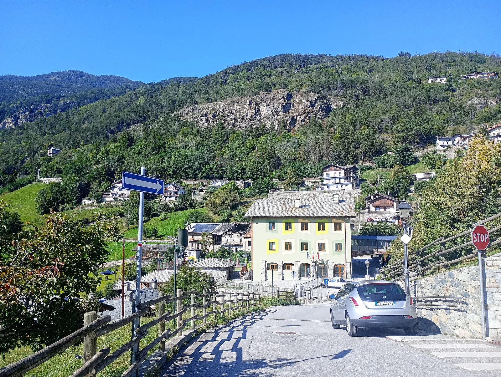
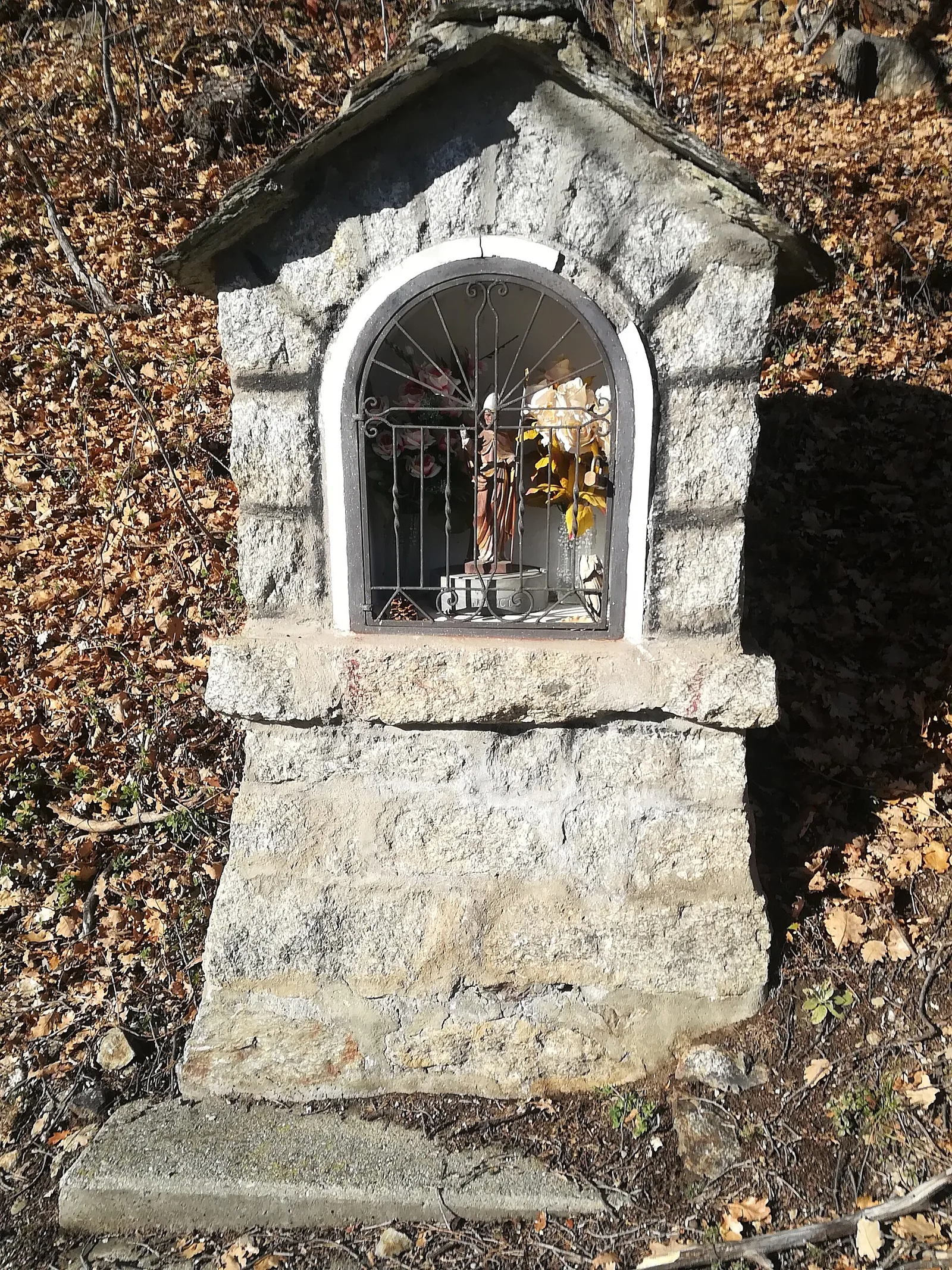
Val d'Ayas
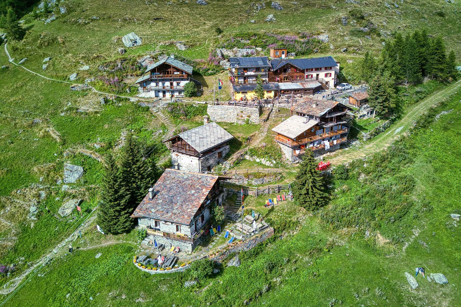
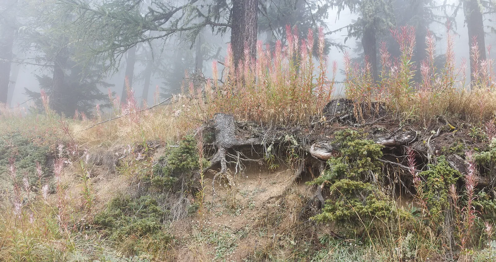
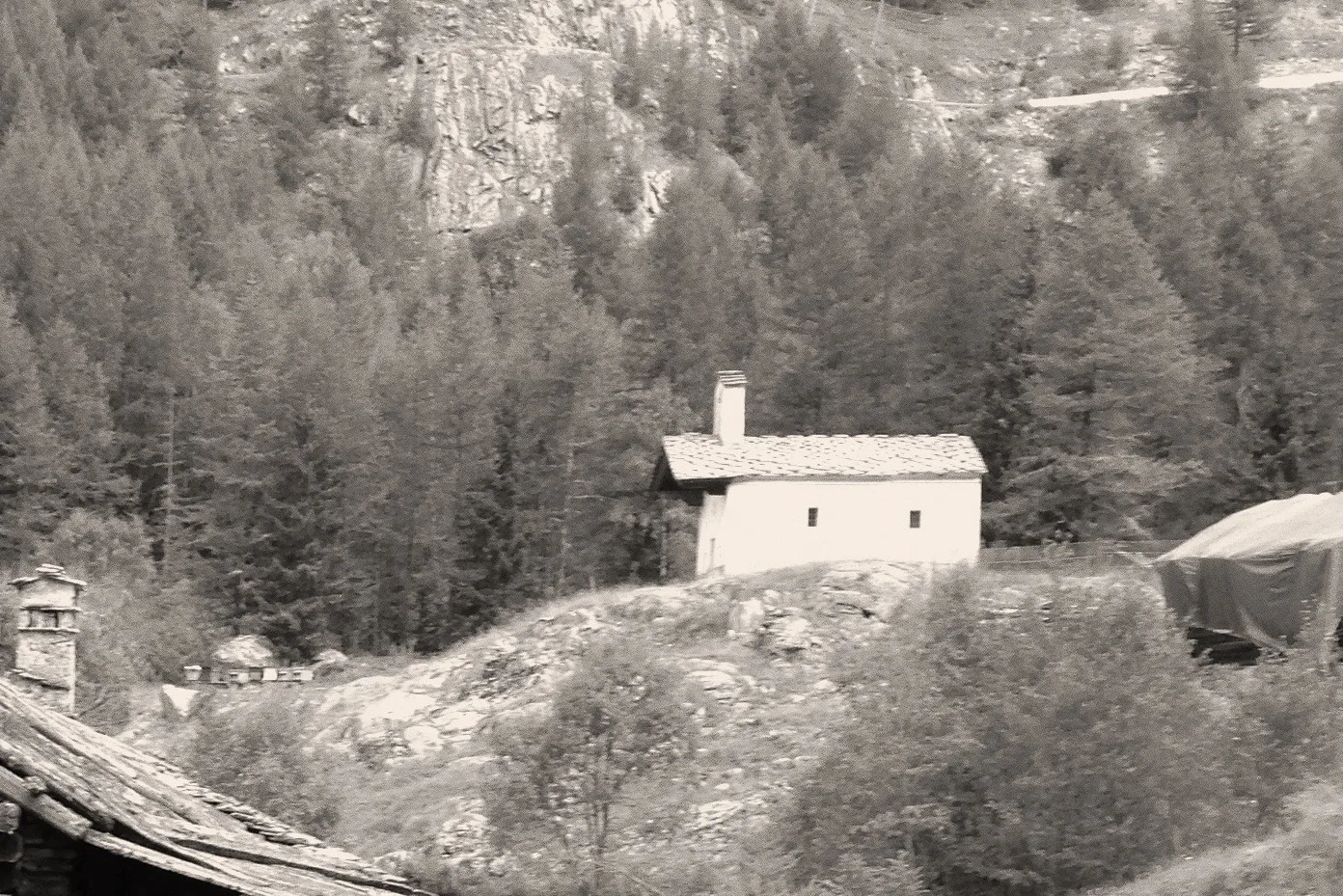
Anello di Tzère
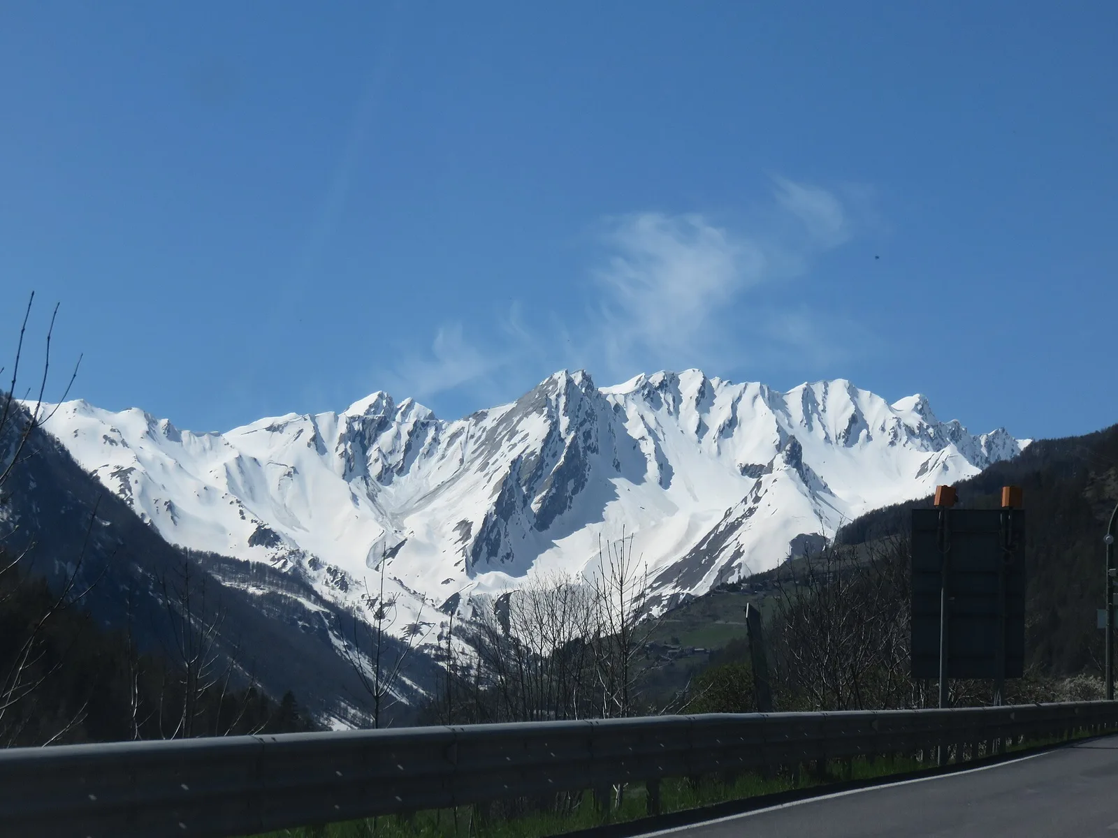
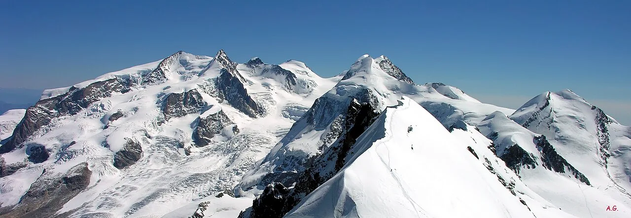
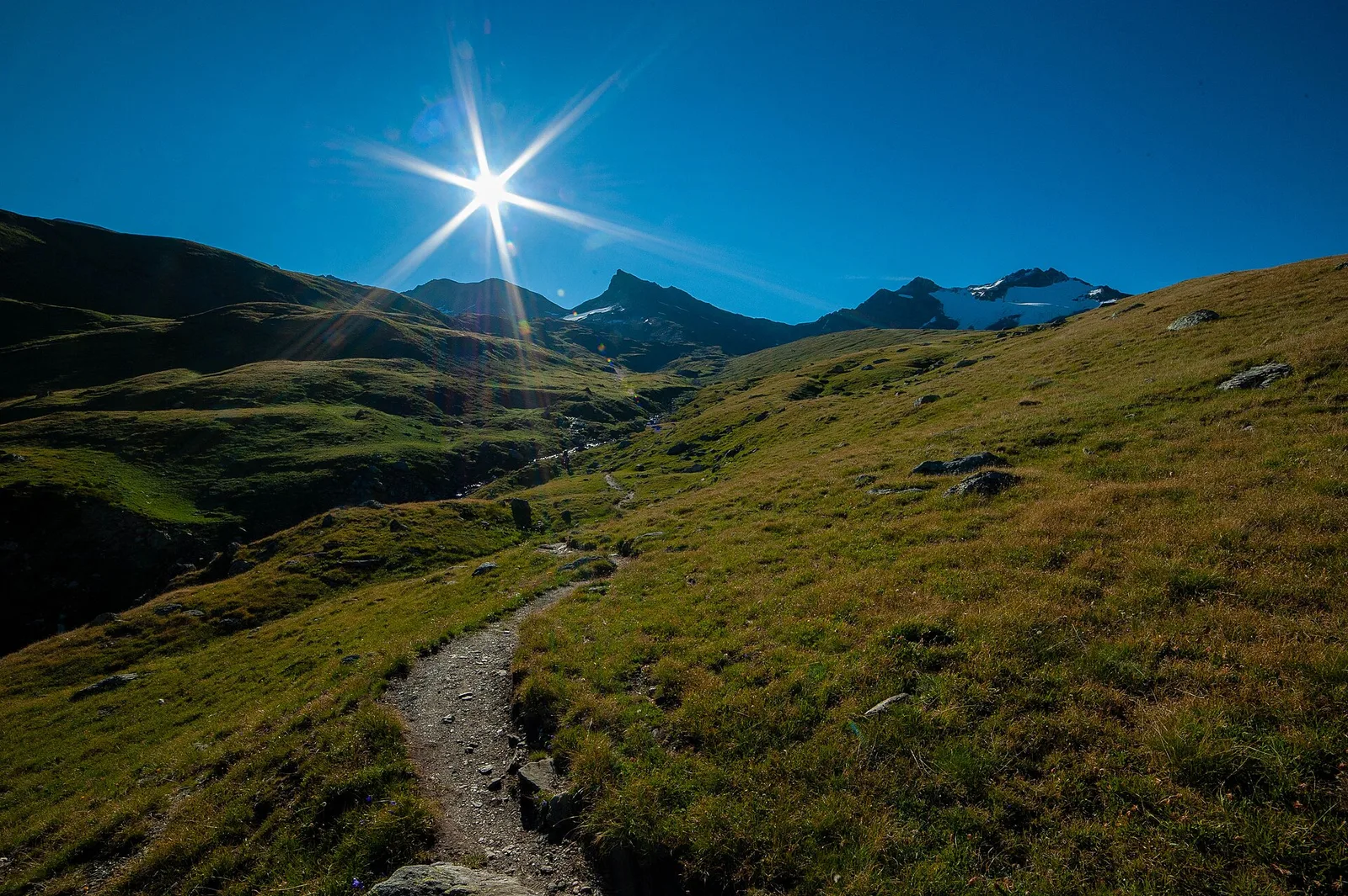
Commune of Ayas: an EE climb toward the high ground of the Vallone delle Cime Bianche.
6.2 km+956 m4 h
Where to spot
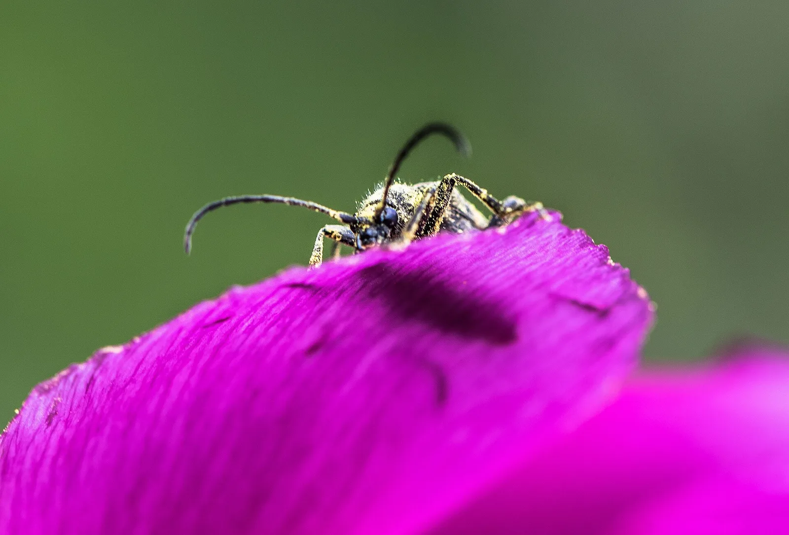
44 trails where Purple gentian is listed in flora/fauna: difficulty T–EE, elevation gain 112–1707 m.
44 · 0.6–12.3 km · +112–1707 m
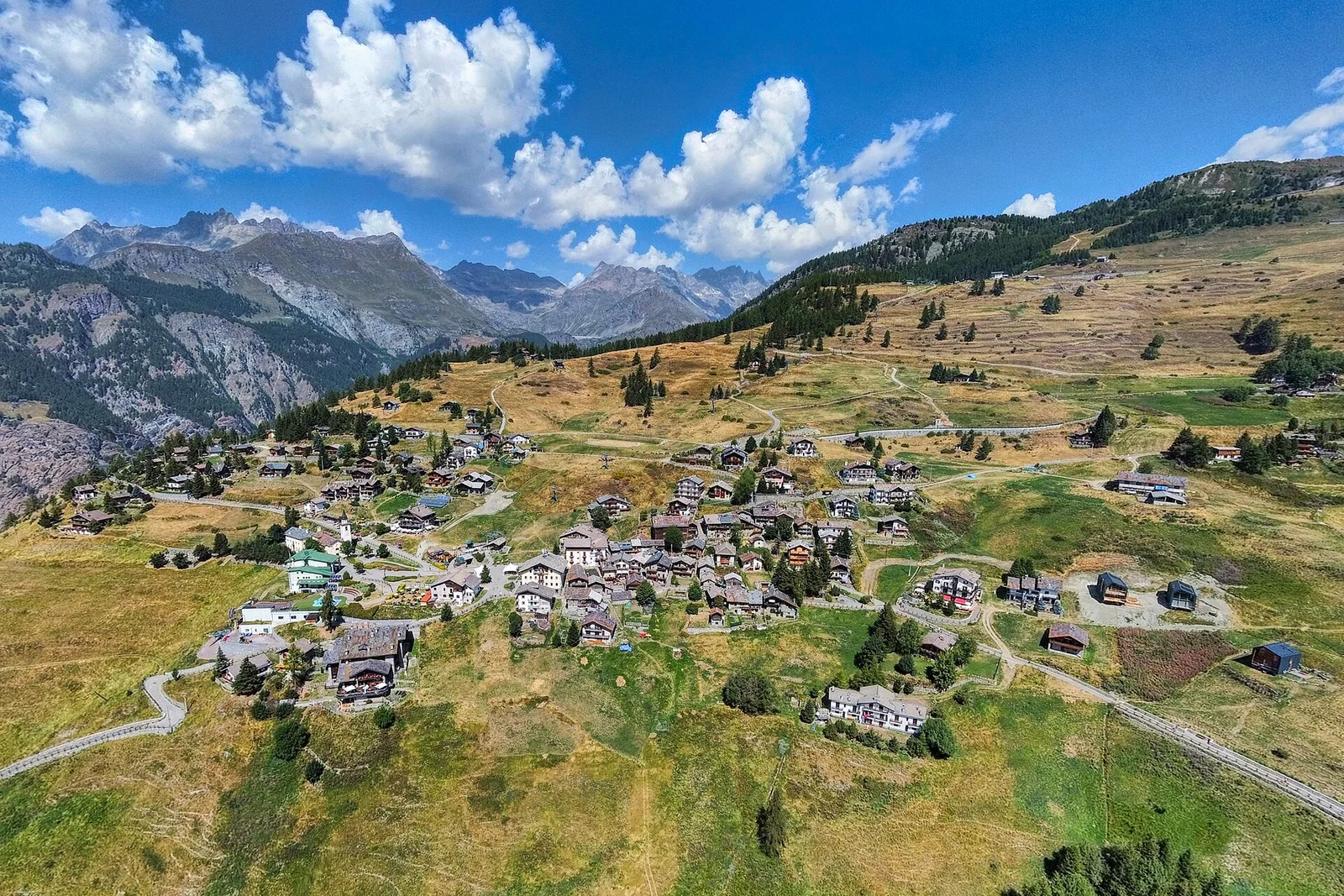
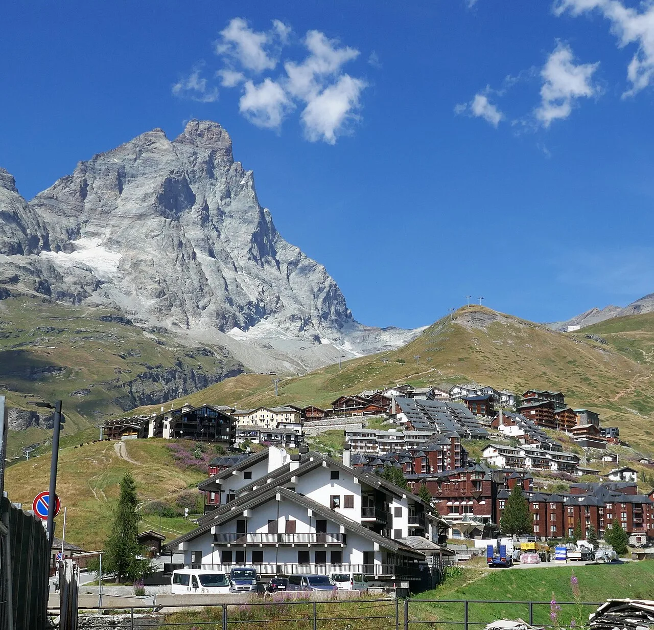
Val d'Ayas
Commune of Ayas: an EE climb toward the high ground of the Vallone delle Cime Bianche.

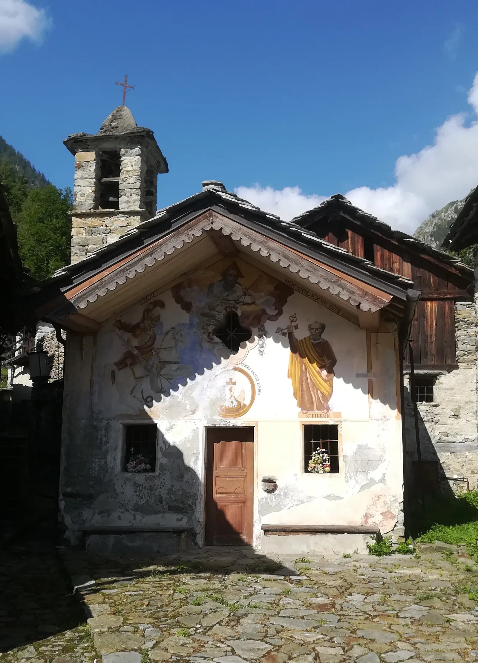
Bassa Valle
A short woodland climb from Arsines, above Arnad, to Col Fenêtre: a scenic pass of the lower Aosta Valley.
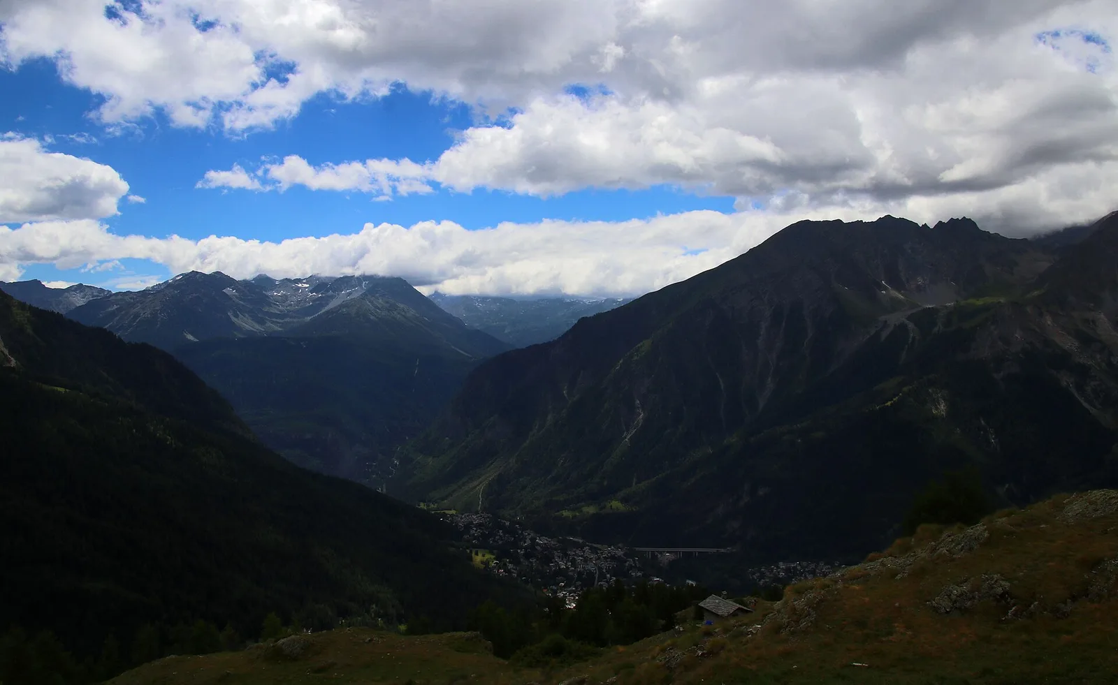
Valle centrale
From Aymavilles Moulin (653 m) to Petit Poignon (1562 m) along the Gran Paradiso Park edge: mixed woodland, clearings, and wildlife. 6.2 km, +926 m, E.
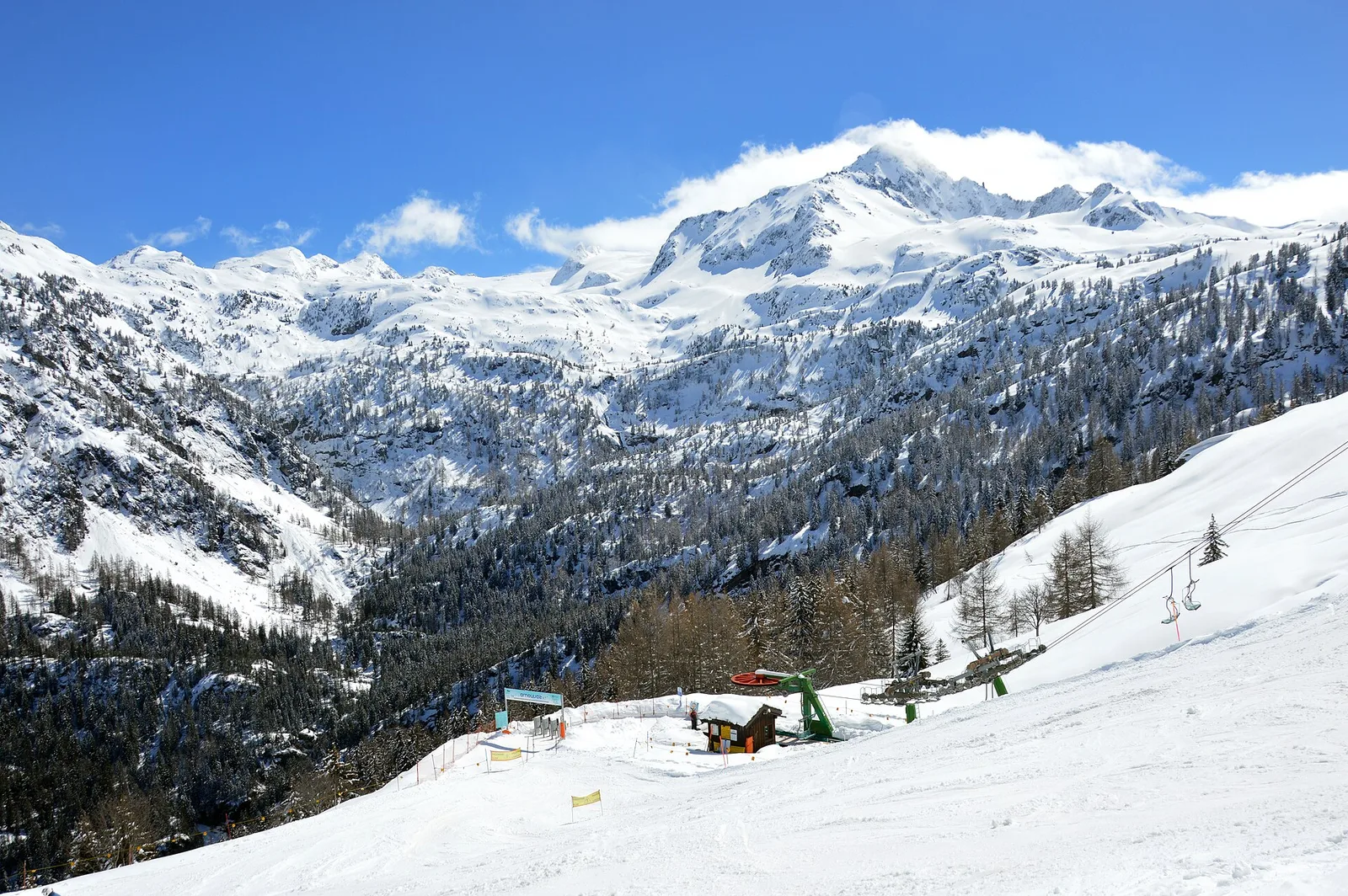
Val d'Ayas
From Blanchard to the Lago Blu of Ayas (trail 7): 4.2 km, +575 m, E. The pool that mirrors Monte Rosa.
Valle centrale
3.8 km · +694 m · E — from Blavy to La Bourra (Valpelline).
Valle centrale
0.6 km · +159 m · E — from Cerlogne to Vens (Central Valley).
Valtournenche
2.2 km · +371 m · E — from Champtorné to Collet (Valpelline).
Valle di Champorcher
6.6 km · +1044 m · E — from Chardonney to Cimetta Rossa (Valtournenche).
Valle centrale
4.1 km · +768 m · E — from Charrère to Verrogne (Central Valley).
Valle centrale
5.2 km · +959 m · E — from Via Chanoux to Promiod (Valdigne).

Valle centrale
2.2 km · +494 m · EE — from Chez Boz to Prapremier (Lys Valley).
Valpelline
1.3 km · +270 m · E — from Créton to Arp du Bois (Valpelline).

Valle del Gran San Bernardo
From Ville di Allein, an honest climb through pastures and larch woods to the Dortoir Baravex refuge at 1938 m, in the Great St Bernard valley.
Valle centrale
2.5 km · +239 m · E — from Druges to Miniera di Servette (Great St Bernard Valley).
Val di Cogne
3.1 km · +291 m · E — from Epinel to Gimillan (Lys Valley).
Valle del Gran San Bernardo
4.6 km · +1164 m · E — from Capoluogo to Grande Tête (Great St Bernard Valley).
Bassa Valle
4.5 km · +938 m · E — from Fey to Croix Corma (Central Valley).
Val d'Ayas
2.8 km · +497 m · T — from Pasquier to La Croix (Ayas Valley).
Valle del Lys
9 km · +1662 m · E — from Isollaz to Col Dondeuil (Ayas Valley).
Valle del Gran San Bernardo
12.3 km · +890 m · E — from La Cheriettes to Alpe Ars (Central Valley).
Valtournenche
3.7 km · +112 m · T — from Strada dopo Veuillen to Corgnolaz (Valdigne).
Bassa Valle
4.8 km · +1134 m · E — from La Raffort - Centrale to Cormoney (Valsavarenche).
Valle del Lys
2.8 km · +802 m · E — from Lihrla to Alpe Grignatz (Great St Bernard Valley).
Bassa Valle
6.2 km · +1327 m · E — from Lo Pian to Lac de Panaz (Central Valley).
Valtournenche
2 km · +449 m · E — from Loz (parcheggio) to Alpe Mandaz Inferiore (Central Valley).
Valle di Champorcher
5 km · +865 m · EE — from Maison Blanche to Praz Premier (Lys Valley).
Valtournenche
2.3 km · +427 m · E — from Mayen to Pâquier (Cré-du-Pont) (Central Valley).
Bassa Valle
8.8 km · +1603 m · E — from Monteil to Lac Liet (Valtournenche).
Valle del Lys
2.9 km · +667 m · E — from Ondrò Verdebio to Ondrò Skearpie (Champorcher Valley).
Valle di Champorcher
3.6 km · +478 m · E — from Outre l'Eve to Borney (Valtournenche).
Valle centrale
5.9 km · +1385 m · E — from Oveillan to Tsa de Metz (Valgrisenche).
Valpelline
In the Valpelline, commune of Bionaz: an E-rated climb from forest to the Comba di Vertsan pastures.
La Thuile
4.5 km · +643 m · E — from Parcheggio Area camper to Souches (Lys Valley).
Val Veny
2.9 km · +283 m · EE — from Pont Combal to Ghiacciaio del Miage quota 2260 (Great St Bernard Valley).
Valle di Champorcher
2.1 km · +331 m · EE — from Remoran to Col Terre Rousse (Valtournenche).
Valgrisenche
9.4 km · +691 m · E — from Rifugio Bezzi to Rif. Chalet de l'Epée (Valtournenche).

Valle del Lys
6.1 km · +1025 m · E — from Rikurt to Muni (Ayas Valley).
Valle centrale
In the Valdigne, La Salle: an E/EE-rated climb toward upper slope zones with views of Mont Blanc.
Valle del Lys
6.6 km · +837 m · E — from Sainte-Marguerite to Punta di Cressa (Central Valley).
Valle centrale
2.9 km · +672 m · E — from Sarral to Champromenty (Central Valley).
Valle centrale
11.7 km · +1707 m · E — from Stradina Chateau de Quart to Croce di Fana (Rhêmes Valley).
Valpelline
4.8 km · +1099 m · E — from Capoluogo to Alpeggio Verdignolettaz (Valtournenche).
Valle di Champorcher
7.5 km · +1421 m · E — from Varesa to Lago di Leseney (Champorcher Valley).
Valle centrale
3.4 km · +722 m · E — from Villair to Rifugio Bertone, tavola di orientamento (Great St Bernard Valley).