E
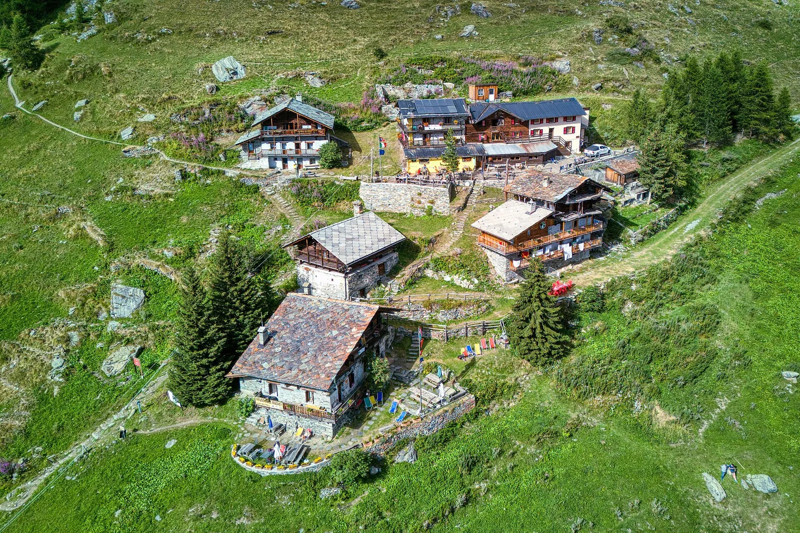
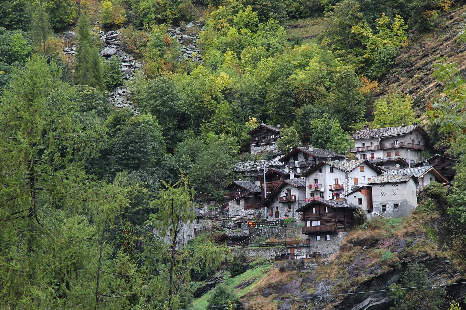
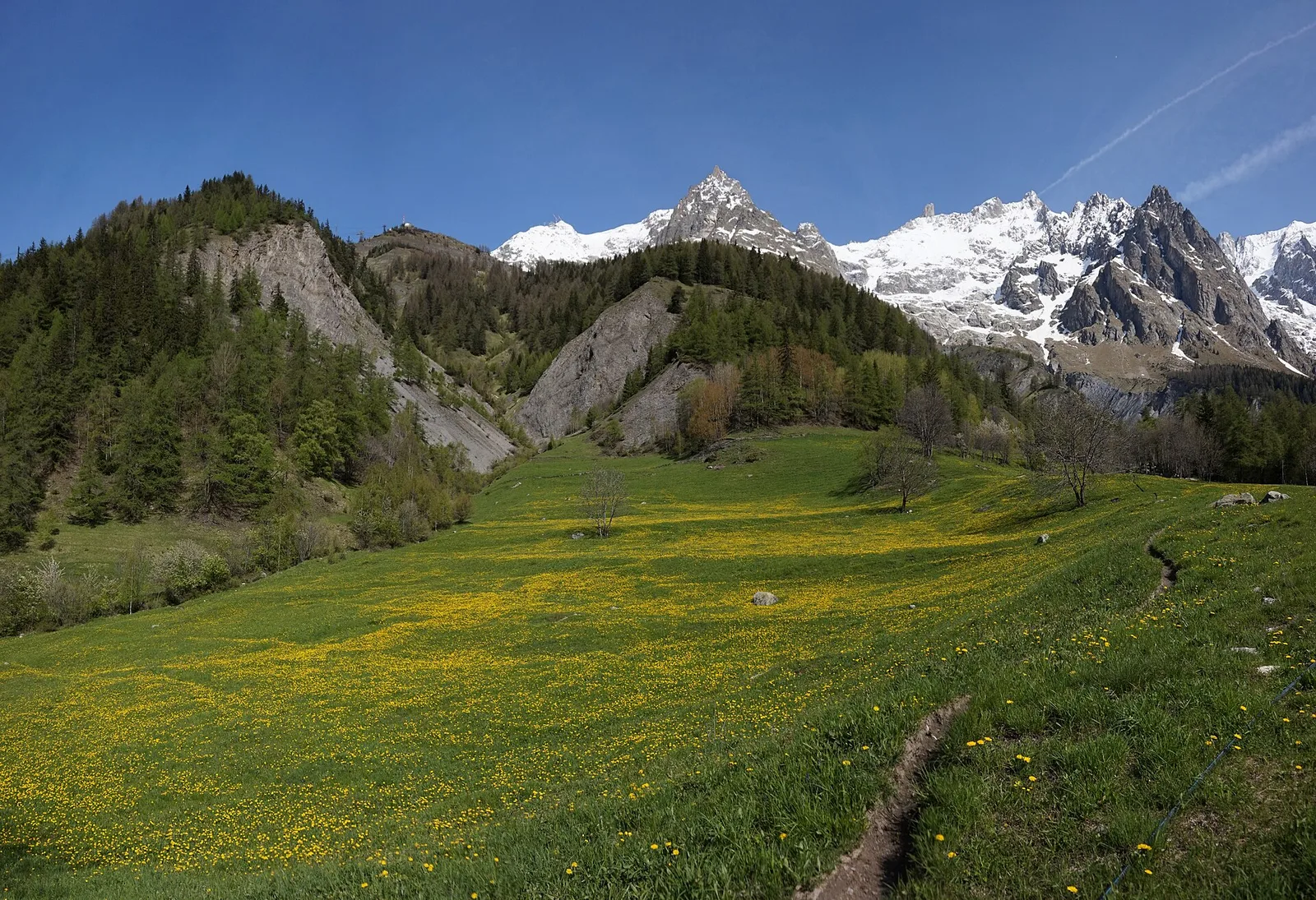
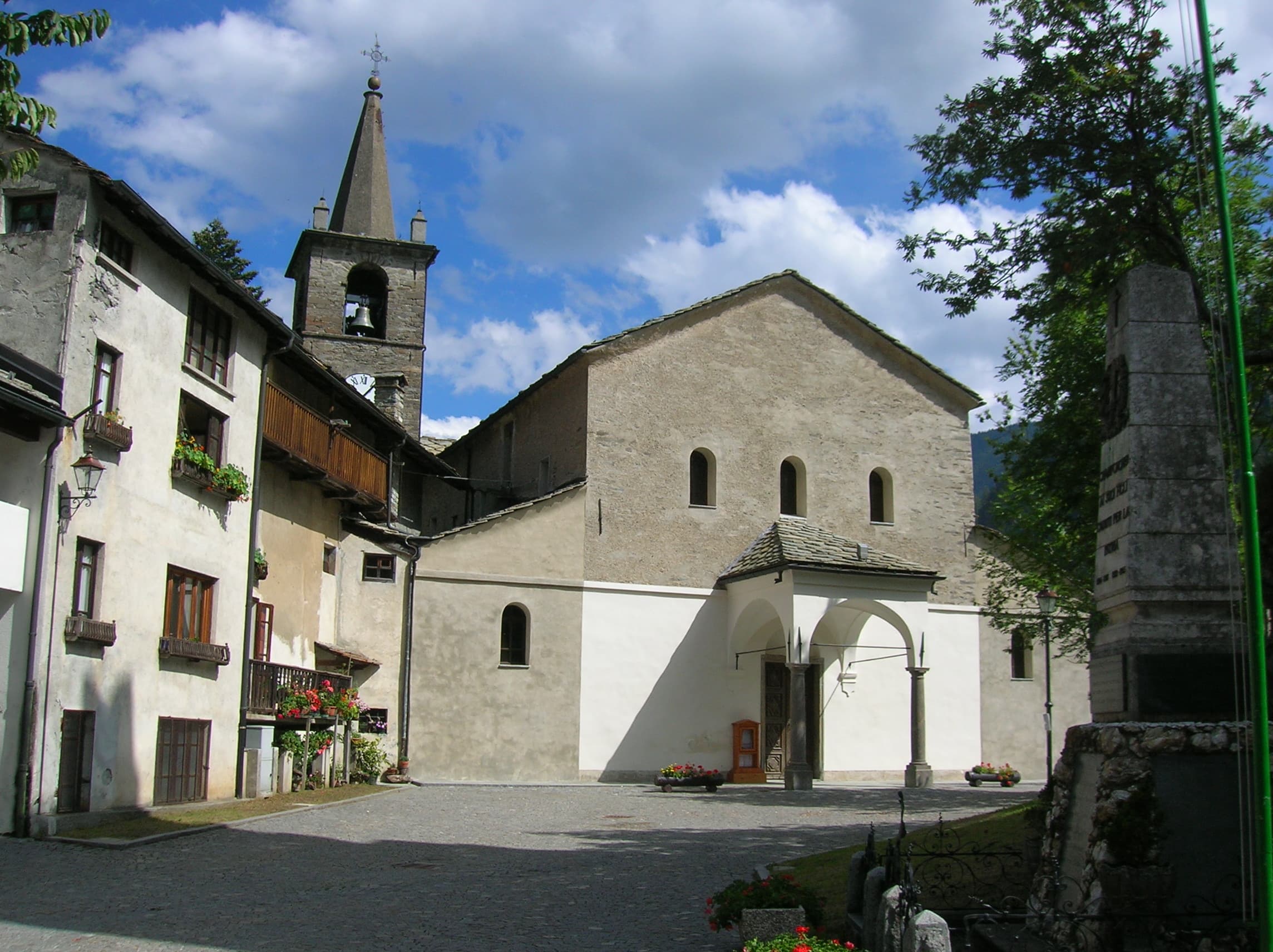
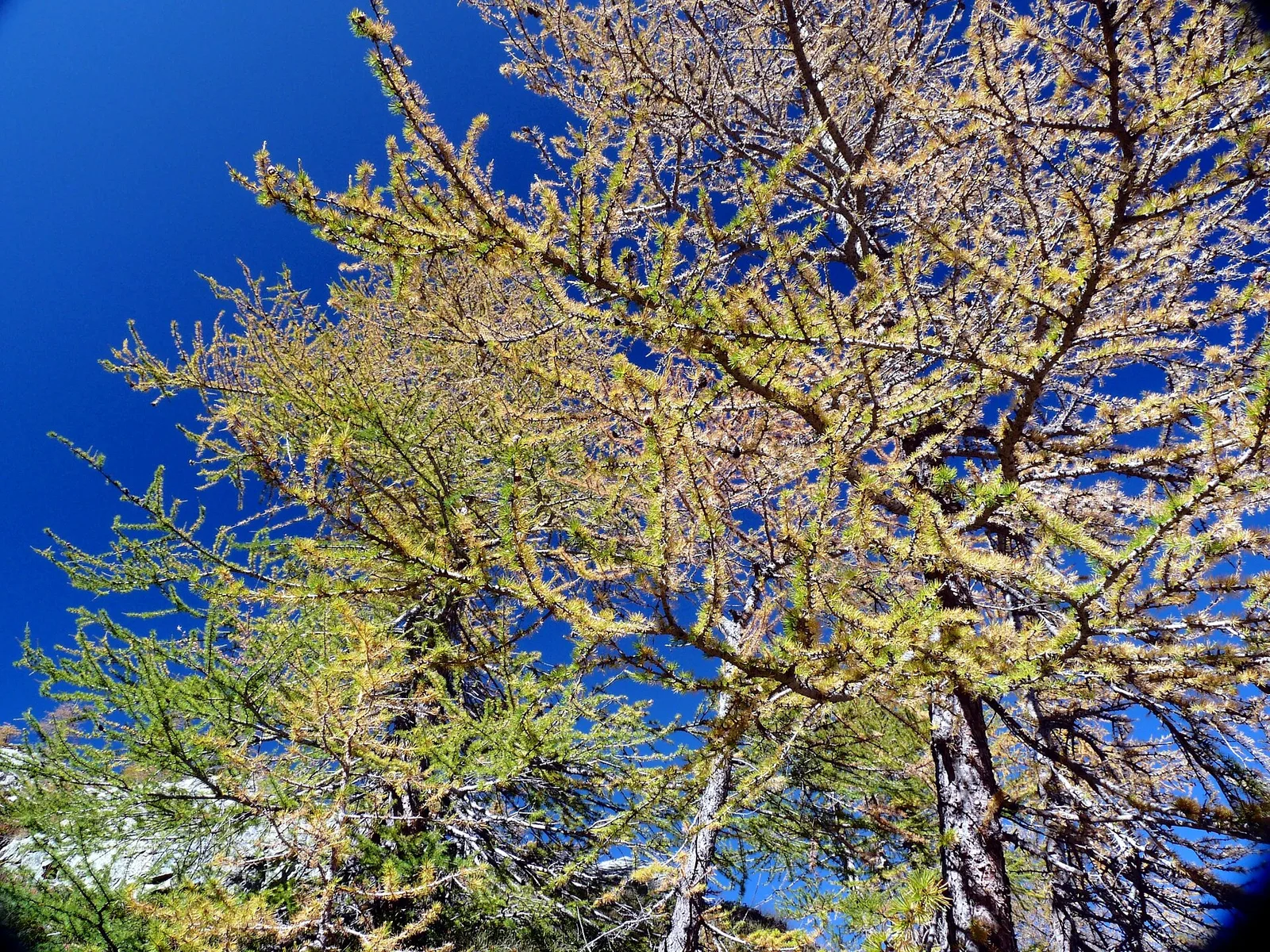
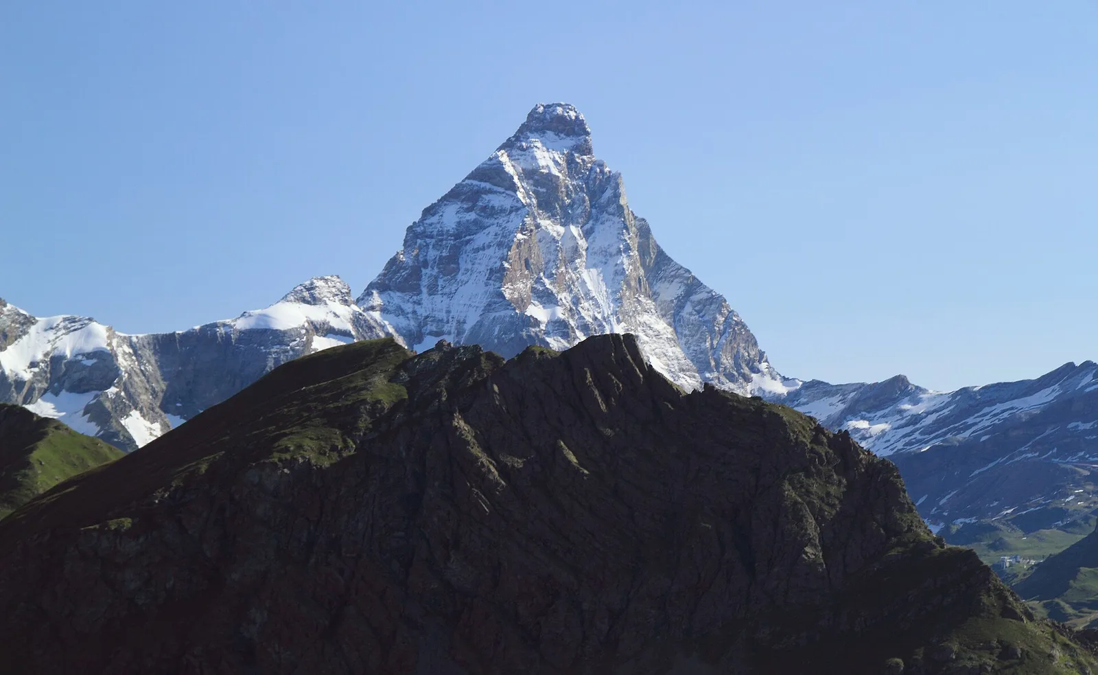
Val d'Ayas
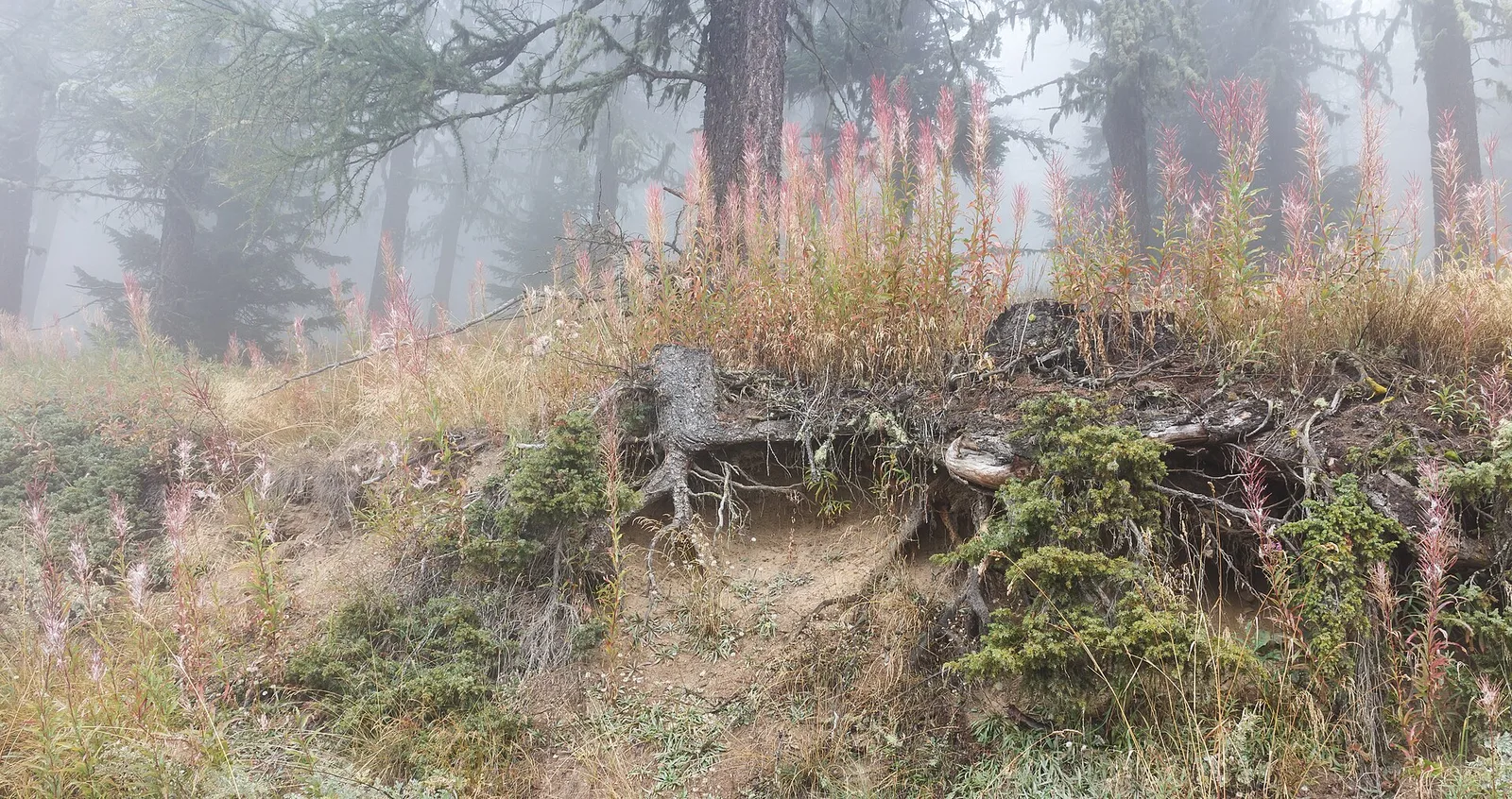
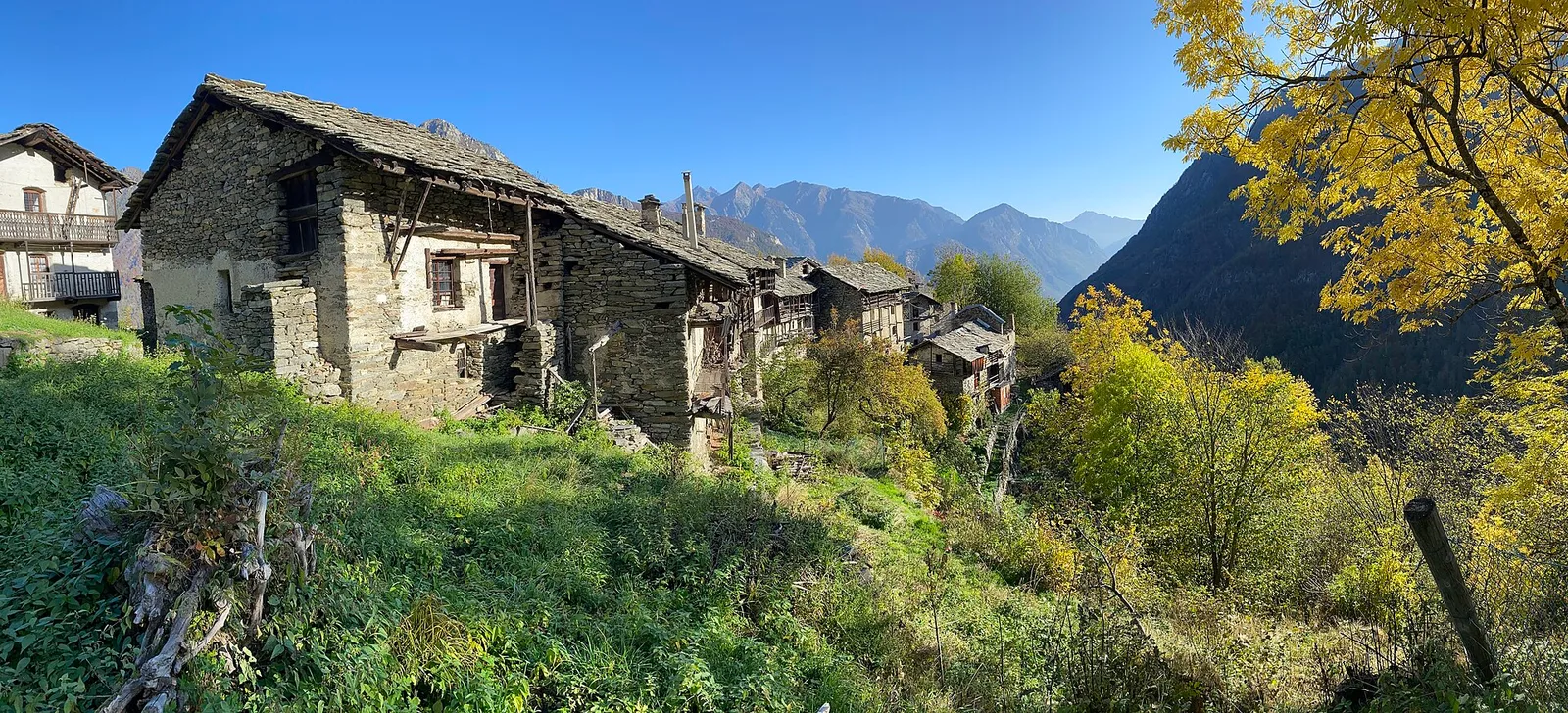
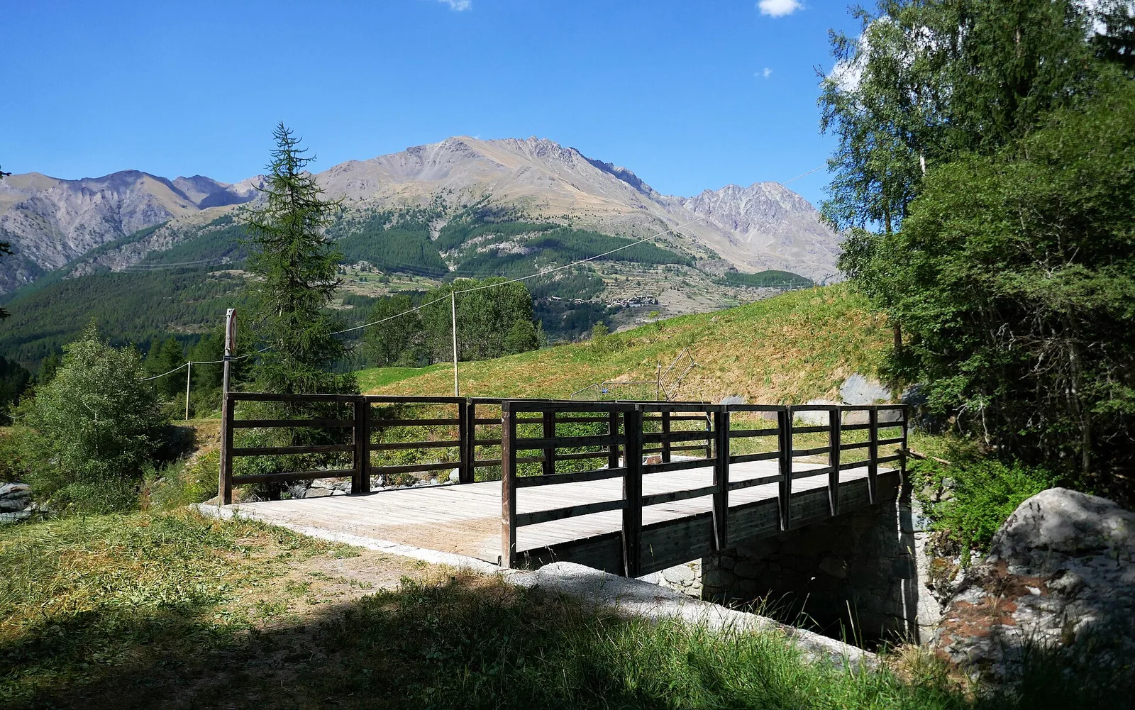
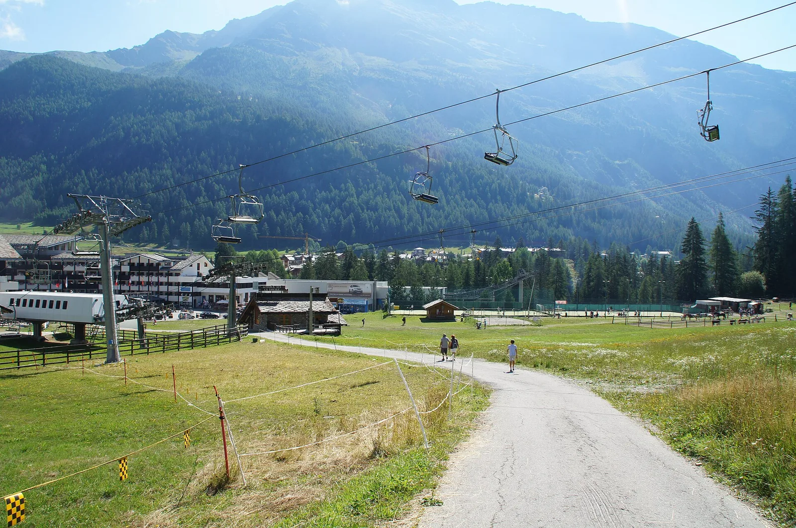
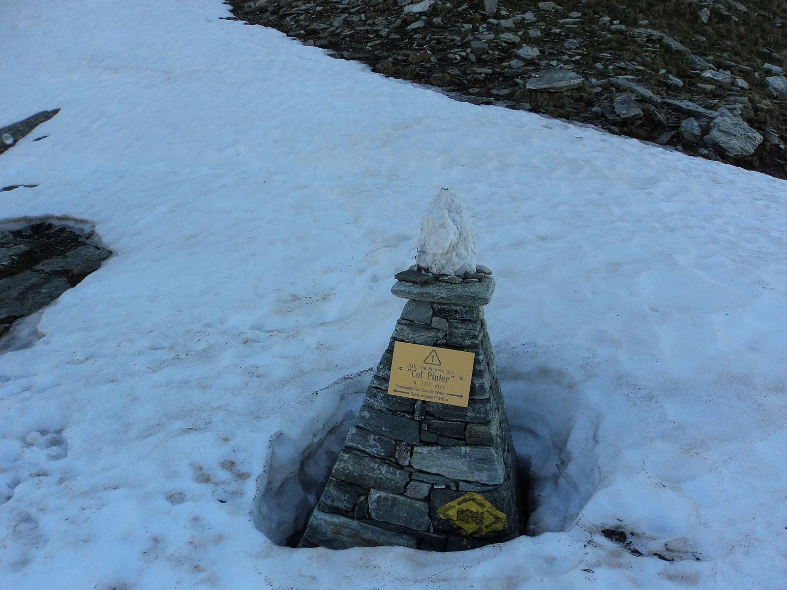
Anello di Tzère
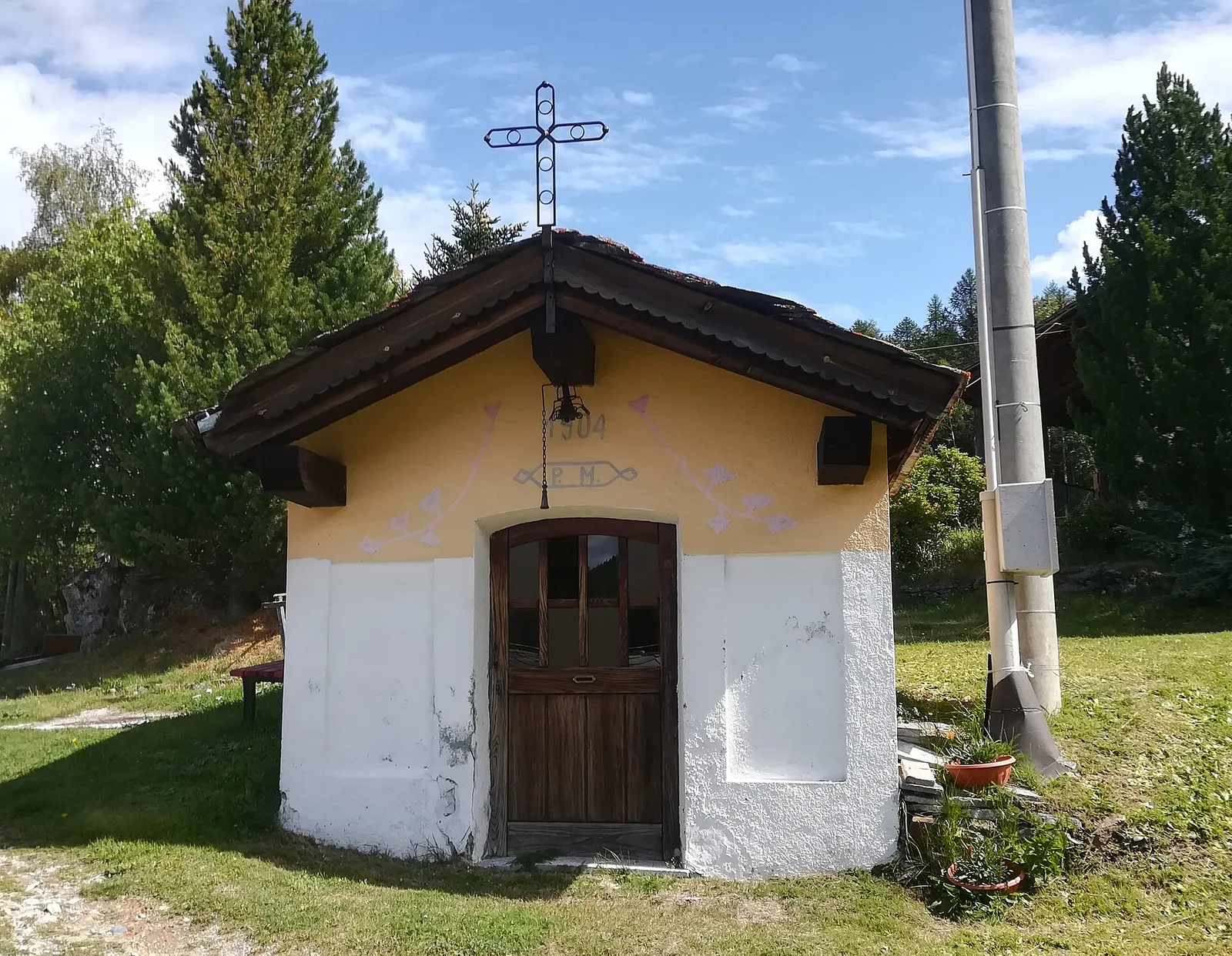
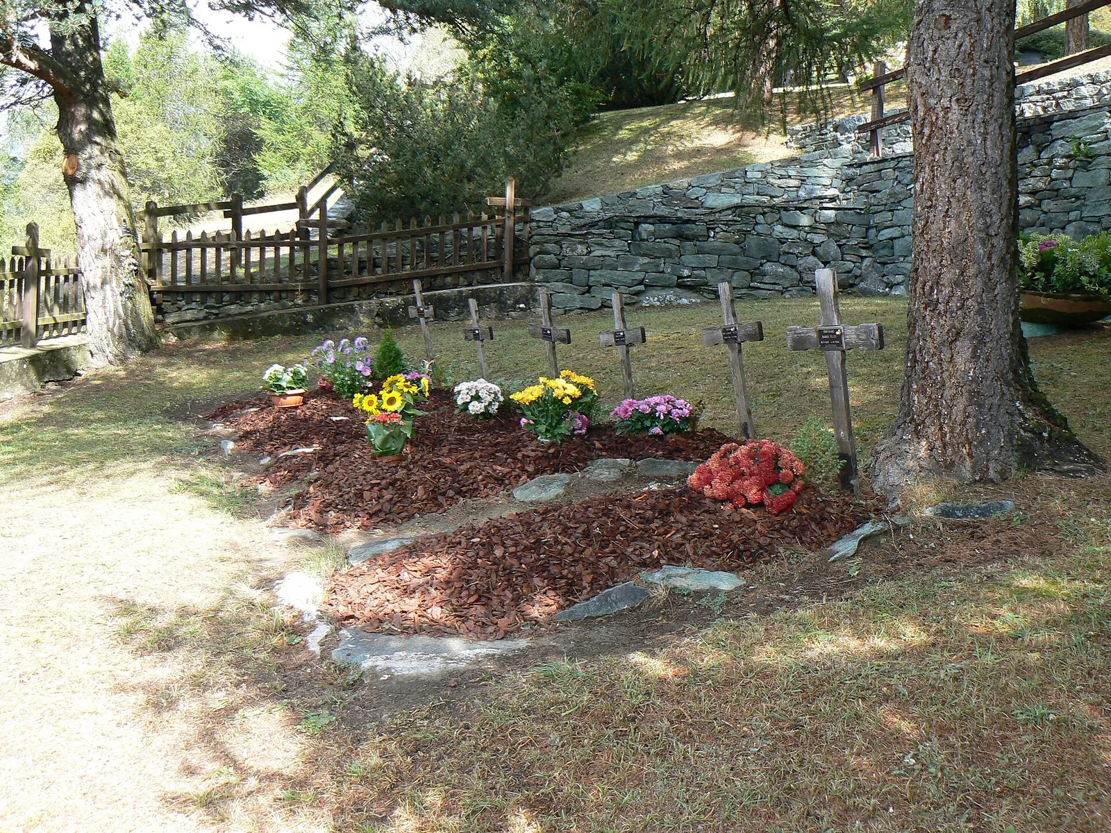
Commune of Ayas: an EE climb toward the high ground of the Vallone delle Cime Bianche.
6.2 km+956 m4 h
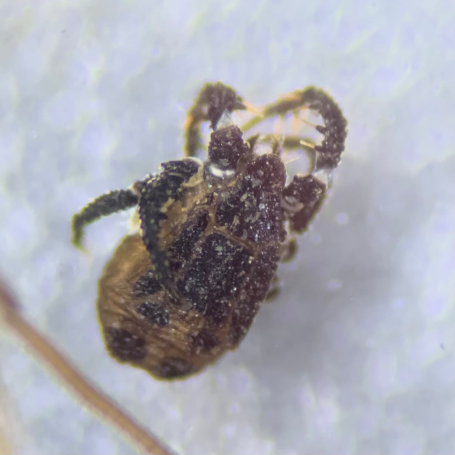
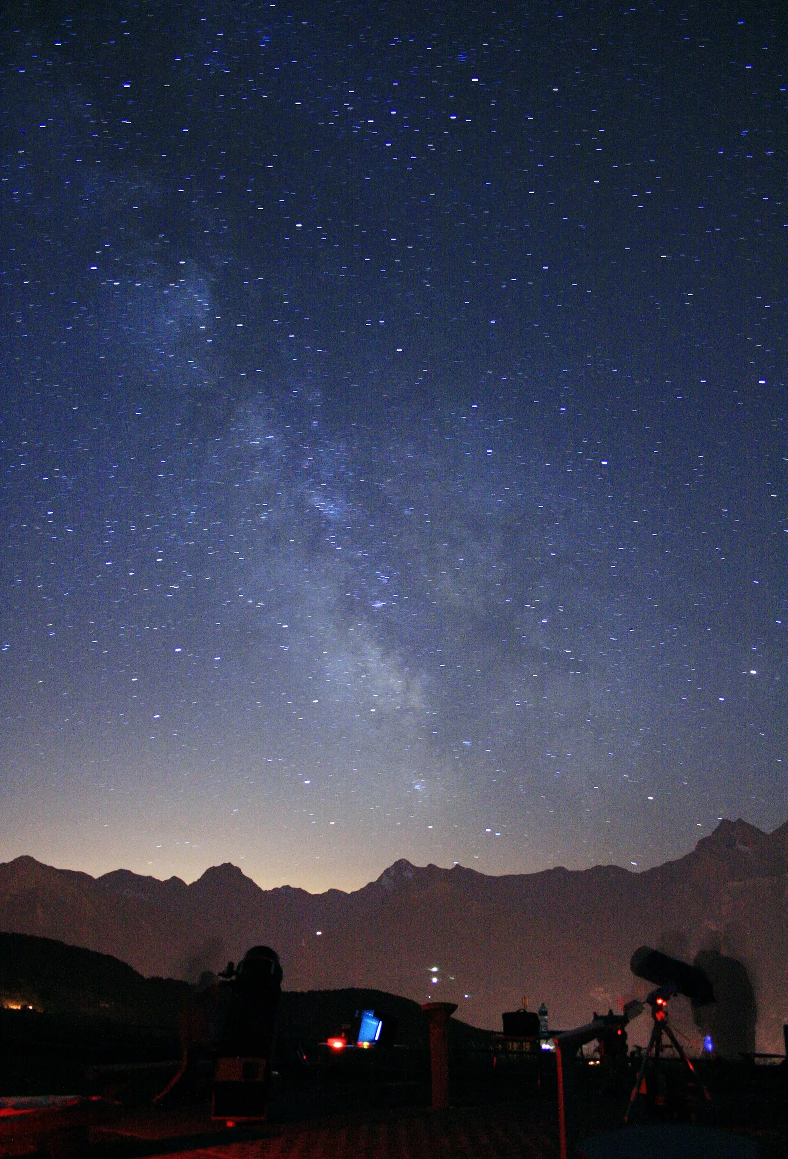
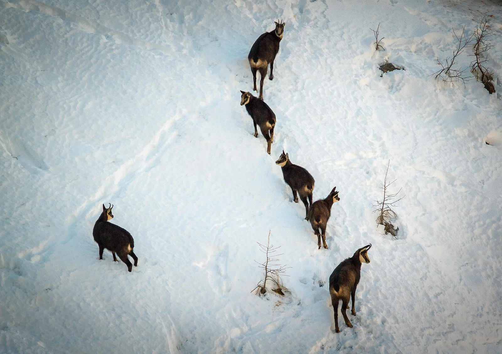
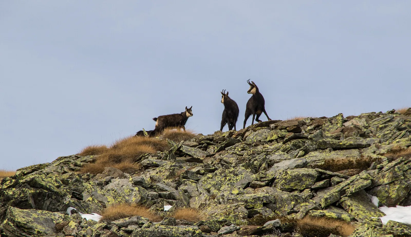
Where to spot
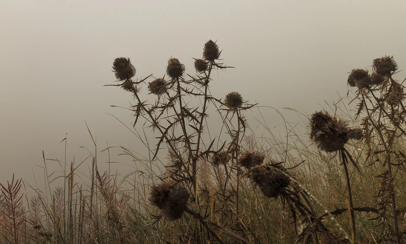
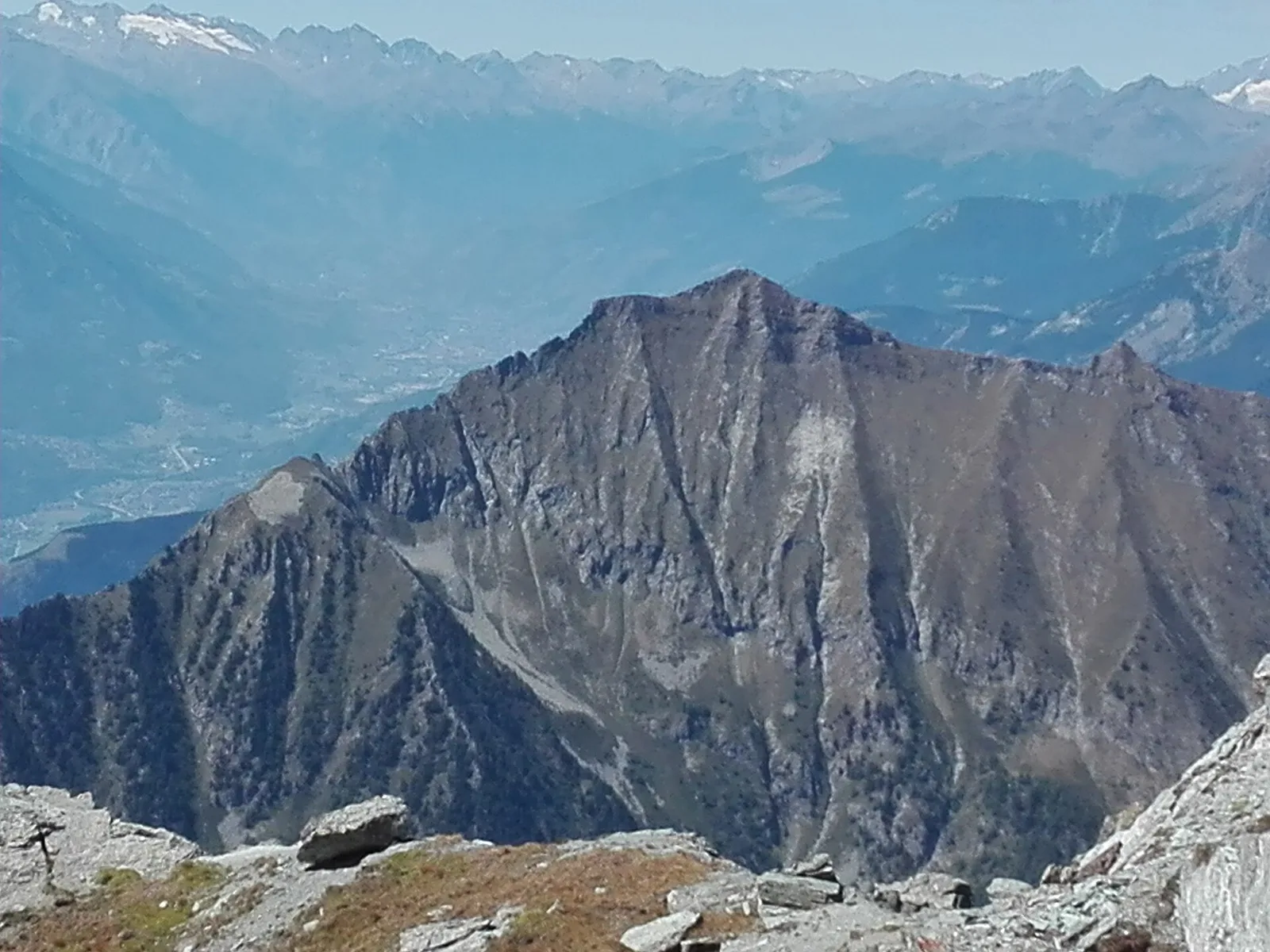
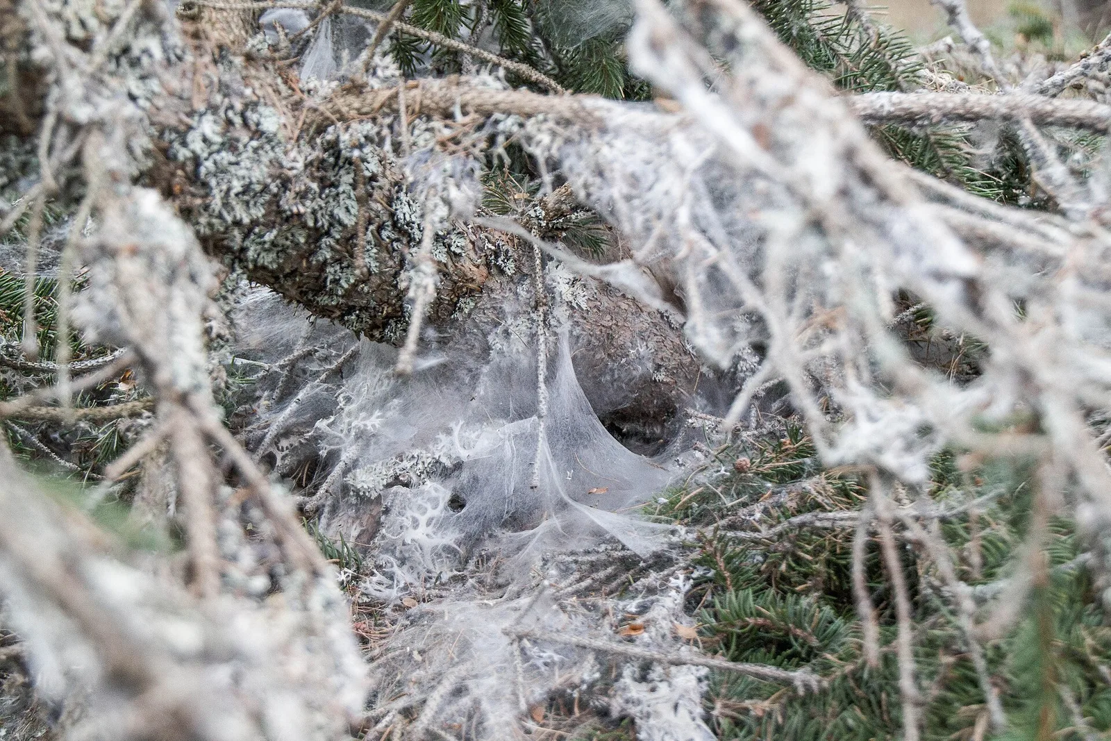
64 trails where European hare is listed in flora/fauna: difficulty T–EE, elevation gain 39–1685 m.
64 · 0.6–17.4 km · +39–1685 m
Val d'Ayas
Commune of Ayas: an EE climb toward the high ground of the Vallone delle Cime Bianche.

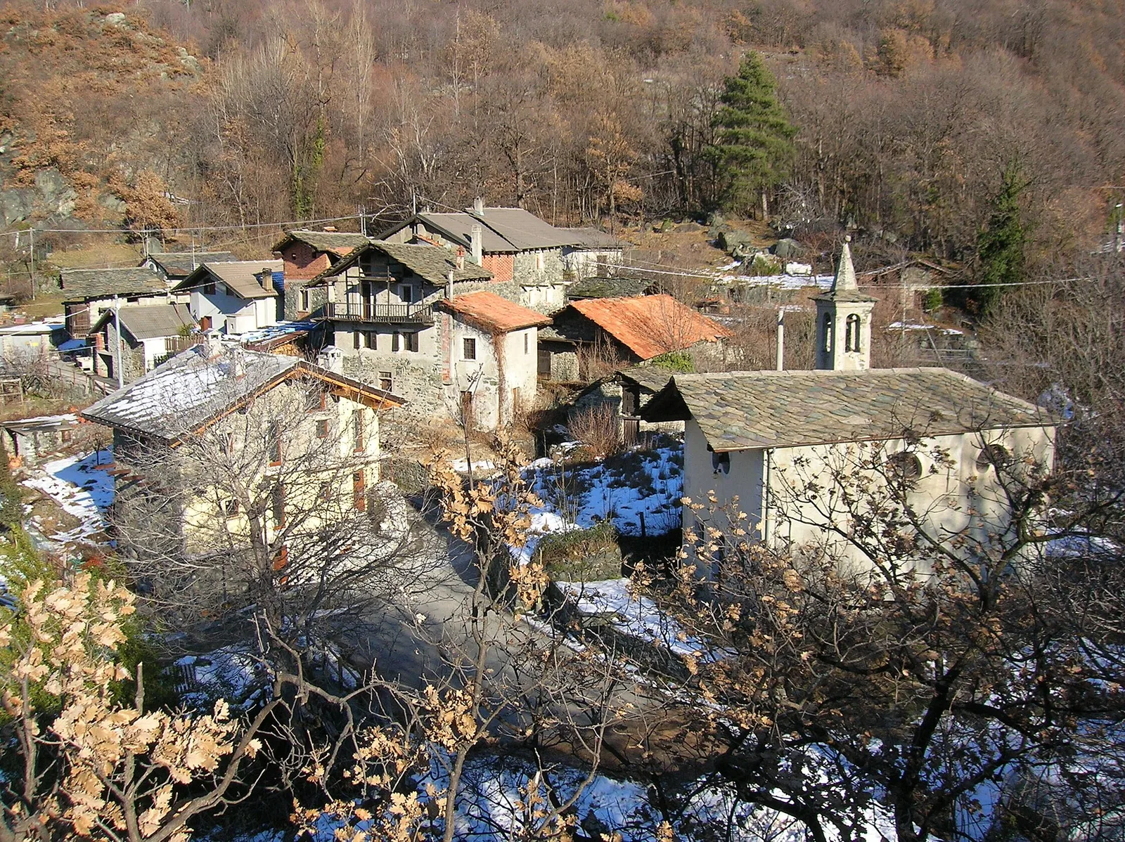
Valle centrale
From Arlier (603m) to Cloutraz (1067m) on the Châtillon hillside: 3.5 km E through vineyards, woodland and views over the Dora Baltea.
Valle centrale
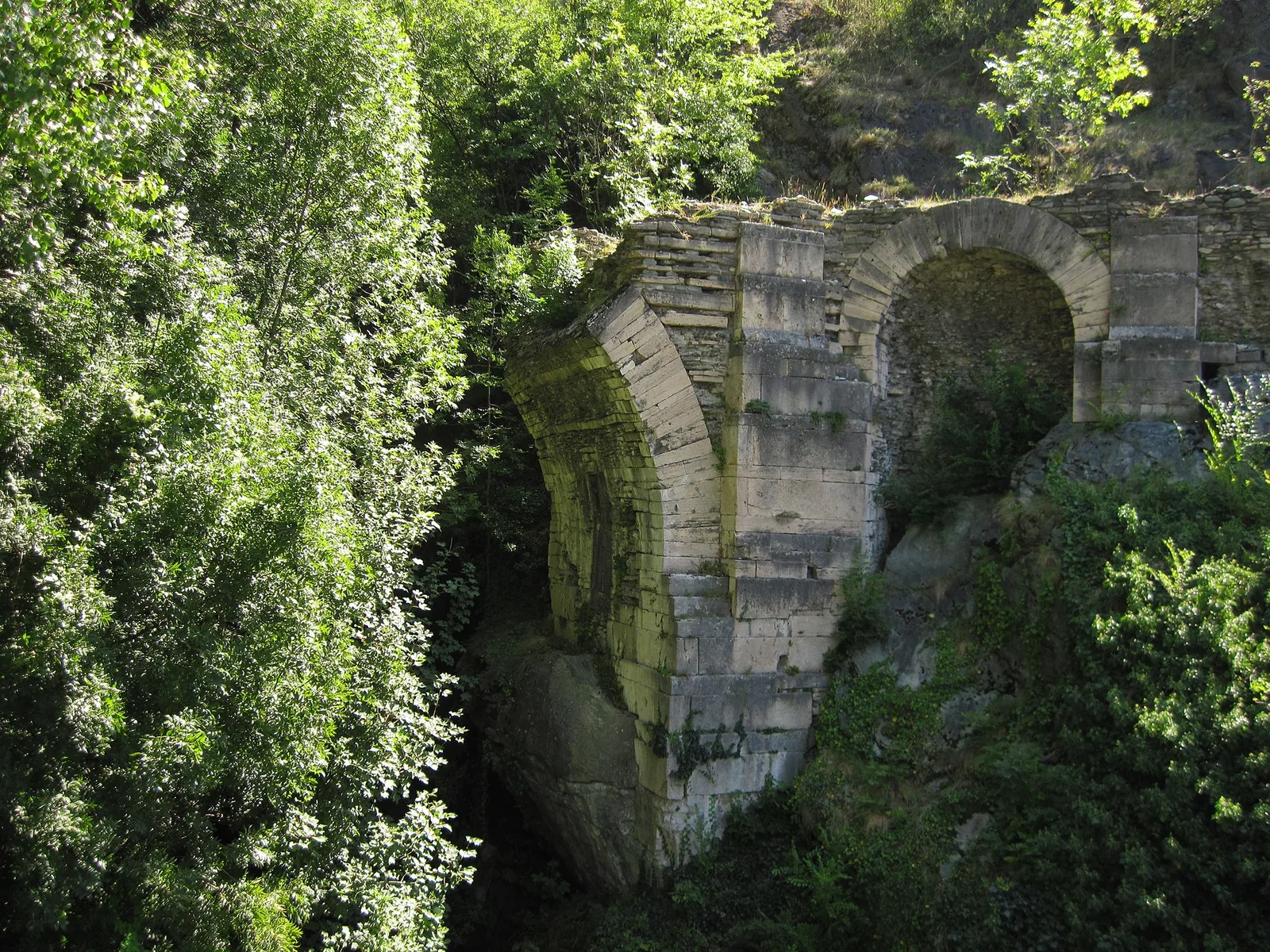
From Moulin to Pont d'Ael (885 m): a short walk to a 3 BC Roman aqueduct bridge, one of the finest preserved in the Alps.
Val d'Ayas
6 km · +828 m · E — from Bellecombe to Thoule (Valdigne).
Valtournenche
In the commune of Antey-Saint-André, Valtournenche: an E-rated route across sunny slopes, hamlets and pastures.
Valtournenche
A long traverse through Valtournenche from the vineyards of Bourg (1,078 m) to the pastures of Maen (1,991 m), with views toward the Matterhorn.
Valtournenche
1 km · +136 m · E — from Breuil to Cielo Alto (Central Valley).
Val d'Ayas
In the commune of Brusson, Val d'Ayas: an accessible route among pastures and hamlets with panoramic views.
Val d'Ayas
4.5 km · +937 m · EE — from Capiron to Mont Lyan (Central Valley).
Valle centrale
0.6 km · +159 m · E — from Cerlogne to Vens (Central Valley).
Valle centrale
4.5 km · +571 m · E — from Challancin to Col de Bard (La Thuile).
Valle centrale
Steep climb from Champsolin (762 m) to Ozein (1,371 m) in the Cogne Valley: 3.2 km with 596 m of ascent.
Val di Rhêmes
1.8 km · +74 m · T — from Chanavey to Bruil, Foyer de Fond (Great St Bernard Valley).
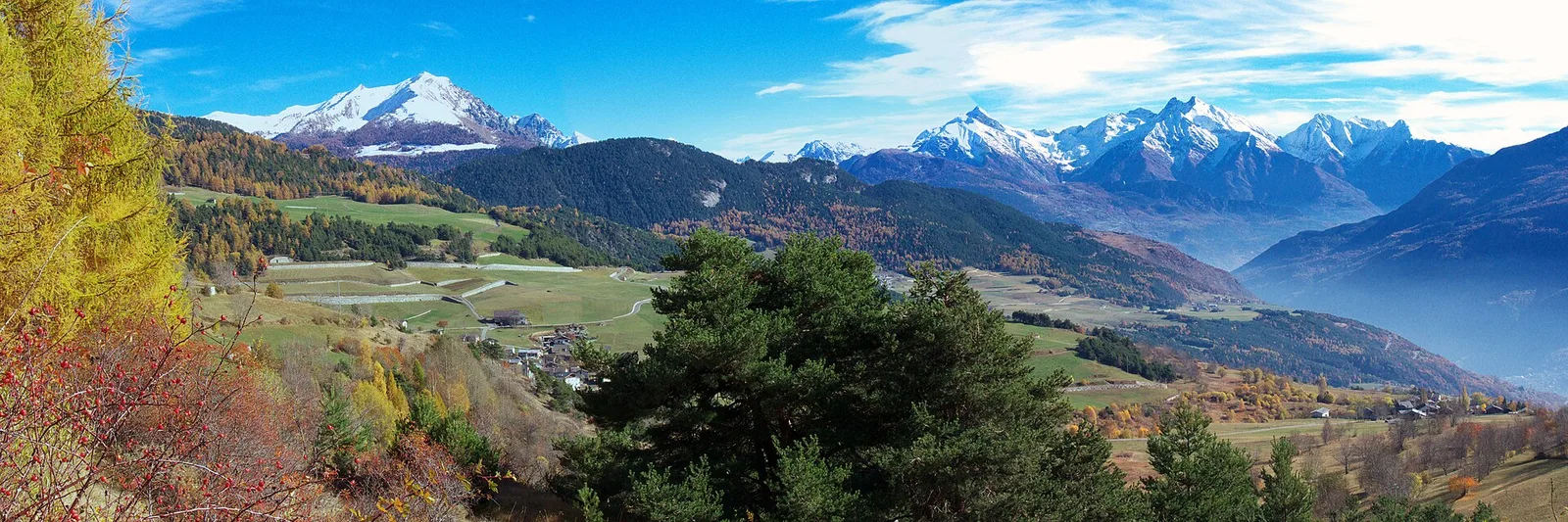
Valle centrale
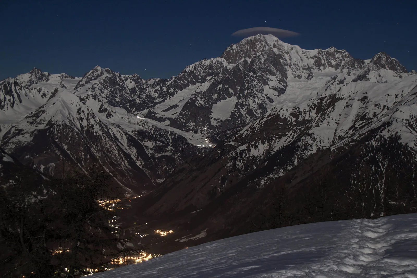
In the Valdigne, La Salle: an E-rated climb toward upper slope zones with views of Mont Blanc.
Valtournenche
1.3 km · +176 m · E — from Chaté to Musée Petit Monde (Tiatel) (Valpelline).
Bassa Valle
From the valley floor at Chateau Vallaise (454m) to Saint Anne's chapel (1342m): 4.3 km and 921 m of ascent through vineyards, chestnut groves and woodland on the Avise hillside.
Valle centrale
3.7 km · +418 m · E — from Combelin to Alpe Loe (Or) (Central Valley).
Val d'Ayas
Val d'Ayas: a climb toward a panoramic high-altitude objective over open terrain.
Valle centrale
1.5 km · +75 m · E — from Coteau to Eremo Saint-Julien (Lys Valley).
Valle centrale
4.9 km · +831 m · E — from Cré to Croix de Bouque (Lys Valley).
Valpelline
1.3 km · +270 m · E — from Créton to Arp du Bois (Valpelline).
Valle di Champorcher
4.8 km · +708 m · E — from Fournier to Mandaz (Champorcher Valley).
Valle centrale
3.1 km · +239 m · E — from Druges to Miniera Servette (Great St Bernard Valley).
Valle di Champorcher
2.9 km · +832 m · EE — from Dublanc to Tete du Mont (Champorcher Valley).

Valle centrale
1.4 km · +164 m · E — from Feilley to Moron (Valtournenche).
Valle di Champorcher
1.7 km · +247 m · E — from Grand-Rosier to Col de Plan Fenetre (Valtournenche).
Val Ferret
3.1 km · +774 m · E — from La Palud to Pavillon (Great St Bernard Valley).
Bassa Valle
4.8 km · +1134 m · E — from La Raffort - Centrale to Cormoney (Valsavarenche).
Valle centrale
2 km · +207 m · E — from La Ravoire to Castello di Montmayeur (Valgrisenche).
Valle centrale
3.3 km · +259 m · T — from Liarey to Chabodey (La Salle) (Central Valley).
Valle centrale
5.2 km · +408 m · E — from Lignan to Praz (Valpelline).
Valle centrale
2.2 km · +263 m · E — from Liveroulaz to Chaillod (Central Valley).
Valle del Gran San Bernardo
0.9 km · +39 m · E — from Chez-Percher to Cau (Central Valley).
Valle del Lys
3.7 km · +790 m · E — from Nantay to Ruine damon (Central Valley).
Valle di Champorcher
2.2 km · +442 m · E — from Outre l'Eve to Alpe Monpey (Valtournenche).
Bassa Valle
5.8 km · +1334 m · EE — from Outrefer to Mognissola (Valtournenche).
Valle centrale
1.7 km · +169 m · E — from Palleusieux to Verrand (Rhêmes Valley).
Valtournenche
3.7 km · +317 m · E — from Paquier to Champleve (Central Valley).
Valle di Champorcher
2.6 km · +507 m · EE — from Petit-Rosier to Col d'Arcomy (Valtournenche).
Valle centrale
6.9 km · +1393 m · E — from municipio Pollein to Arpisson (Lys Valley).
Valle centrale
3 km · +795 m · E — from Pompiod to Torlin desot (cappella)- Raccordo 38_S6 (Valtournenche).
Bassa Valle
5.5 km · +1218 m · E — from Pramotton to Fontanet (Valtournenche).
Val di Cogne
3.2 km · +490 m · E — from Prati di Sant'Orso - Buthier to Les Ors (Lys Valley).
Valsavarenche
2.2 km · +375 m · E — from Rovenaud to Maisoncle (Ayas Valley).
Valle centrale
From Runaz (839 m) to the Alpage du Glacier (2163 m): 1635 m of ascent through forest, pastures and open alpine grassland, one of the most demanding routes in the Valdigne.
Valle del Gran San Bernardo
5.5 km · +738 m · E — from Capoluogo to Plan Puitz (Great St Bernard Valley).
Valle centrale
2.1 km · +740 m · EE — from Servettaz to Druges (Lys Valley).
Valle di Champorcher
6.4 km · +967 m · E — from Strada Dondena to Parcheggio Dondena (Valtournenche).
Val d'Ayas
2 km · +370 m · E — from Strada Regionale to Arbaz (Ayas Valley).
Valle centrale
2.4 km · +310 m · E — from Tenso to Strada per Bellecombe (Valtournenche).
Val d'Ayas
5.1 km · +1030 m · E — from Eresaz to Tête de Comagne (Great St Bernard Valley).
La Thuile
2.6 km · +97 m · E — from Thovex to Granges (Lys Valley).
Val d'Ayas
5.7 km · +1091 m · E — from Toffo (Montjovet) to Sommarèse (Great St Bernard Valley).
Valtournenche
7 km · +702 m · E — from Plau to Plau (Central Valley).
Valtournenche
17.4 km · +680 m · T — from Plan Porion to Plan Porion (Valpelline).
Valpelline
2.5 km · +231 m · E — from Valpelline capoluogo to Crête (Valtournenche).
Val d'Ayas
3.3 km · +600 m · E — from Ponti Romani to Tron damon (Ayas Valley).
Valle centrale
3.9 km · +713 m · E — from Veynes to Valtolanaz (Central Valley).
Valle del Lys
3.4 km · +311 m · E — from Prima di Gressoney-La-Trinité to Alpezu grande (Champorcher Valley).
Valle centrale
9 km · +1685 m · E — from Villair to Col de Licony (Central Valley).
Val Veny
3.2 km · +366 m · E — from Visaille to Lago del Miage (Great St Bernard Valley).
Bassa Valle
3.7 km · +616 m · E — from Vesey damon to Lac de Panaz (Central Valley).
Val d'Ayas
1.5 km · +331 m · E — from Vollon (Brusson) to Salomon (Ayas Valley).
Valle del Lys
1 km · +254 m · E — from Yair desor to Mouleret (Great St Bernard Valley).