
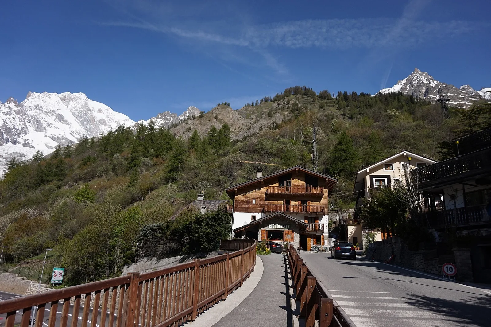
EE
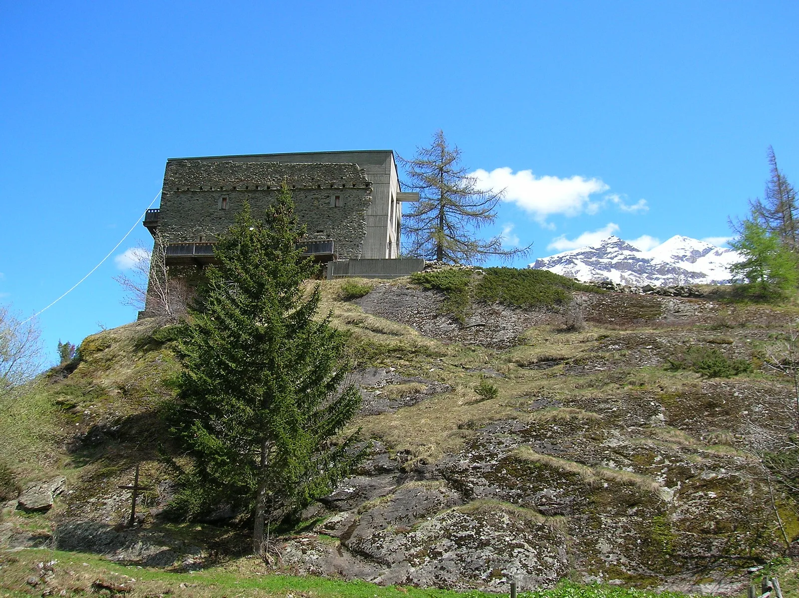
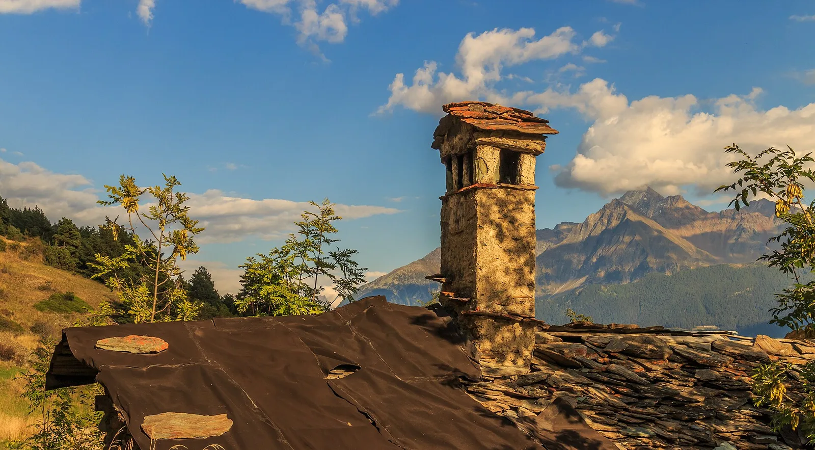
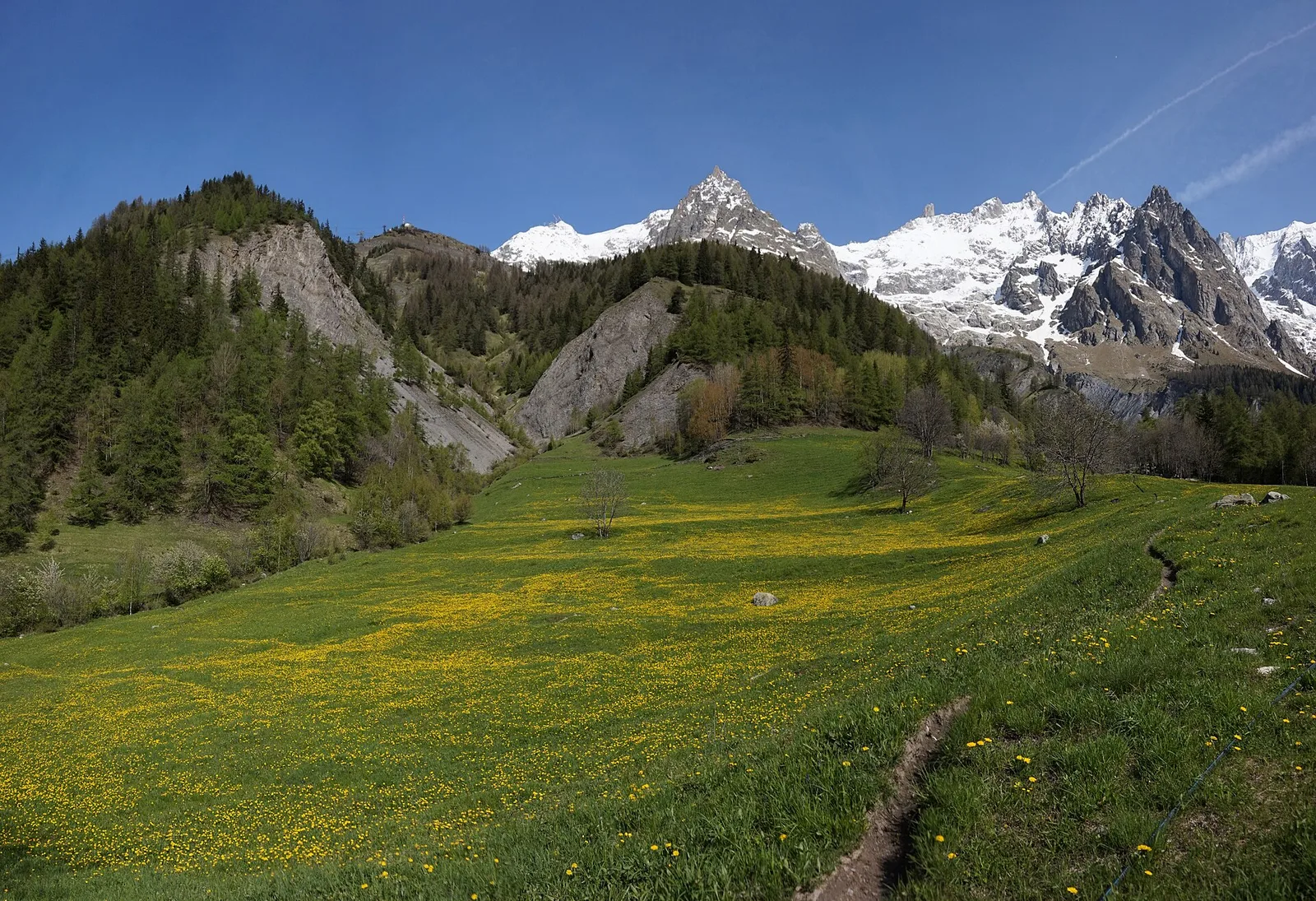
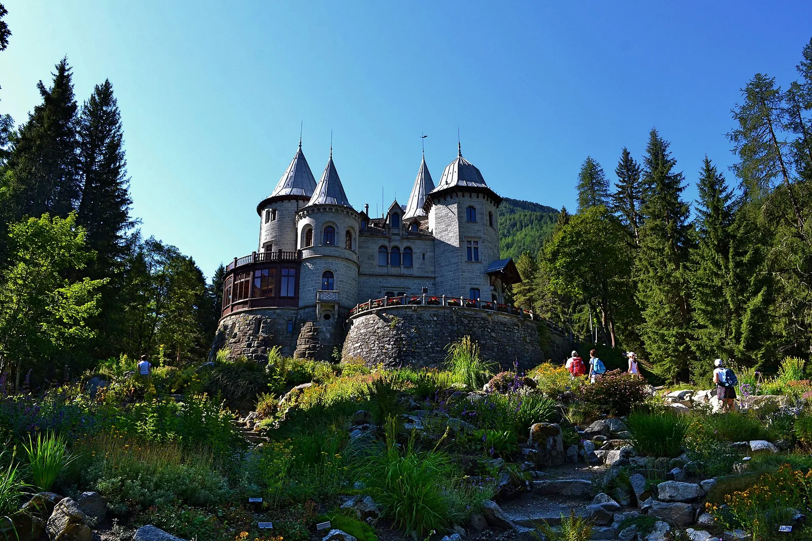
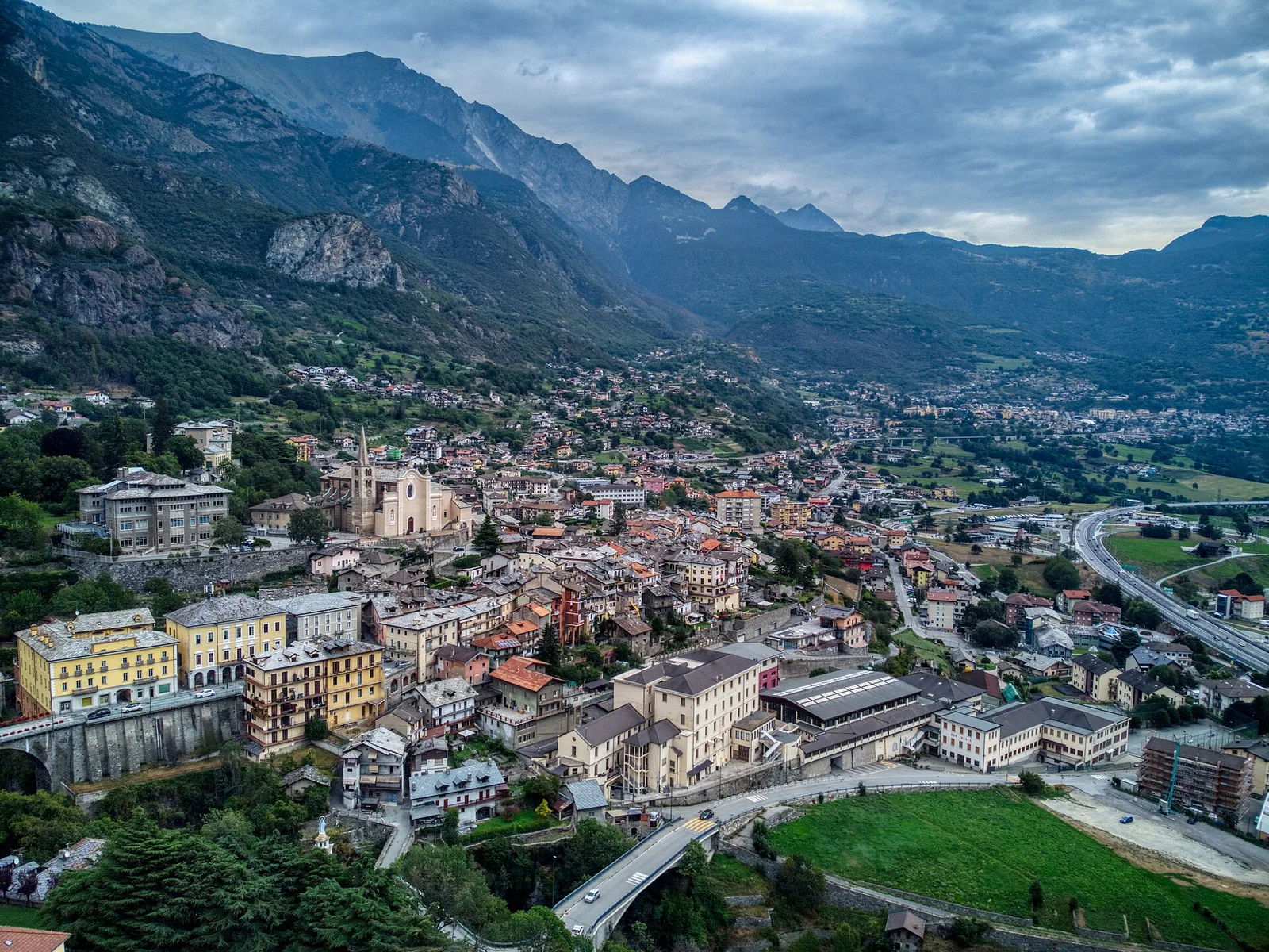
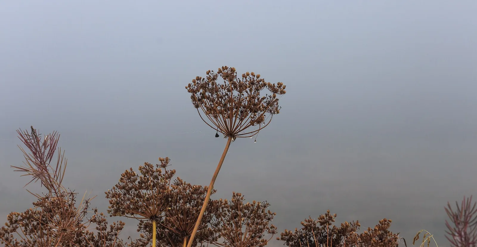
Valle del Lys
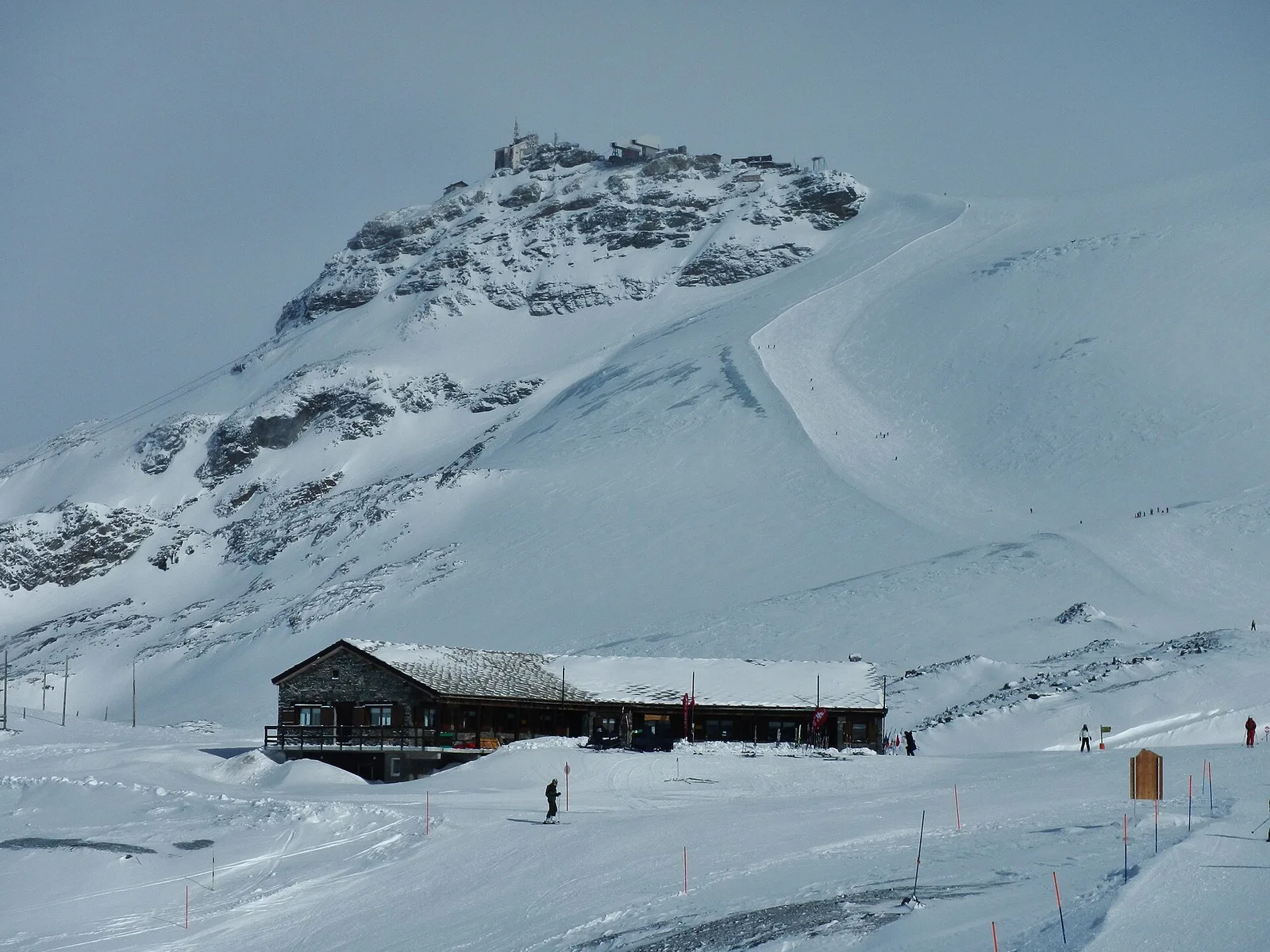
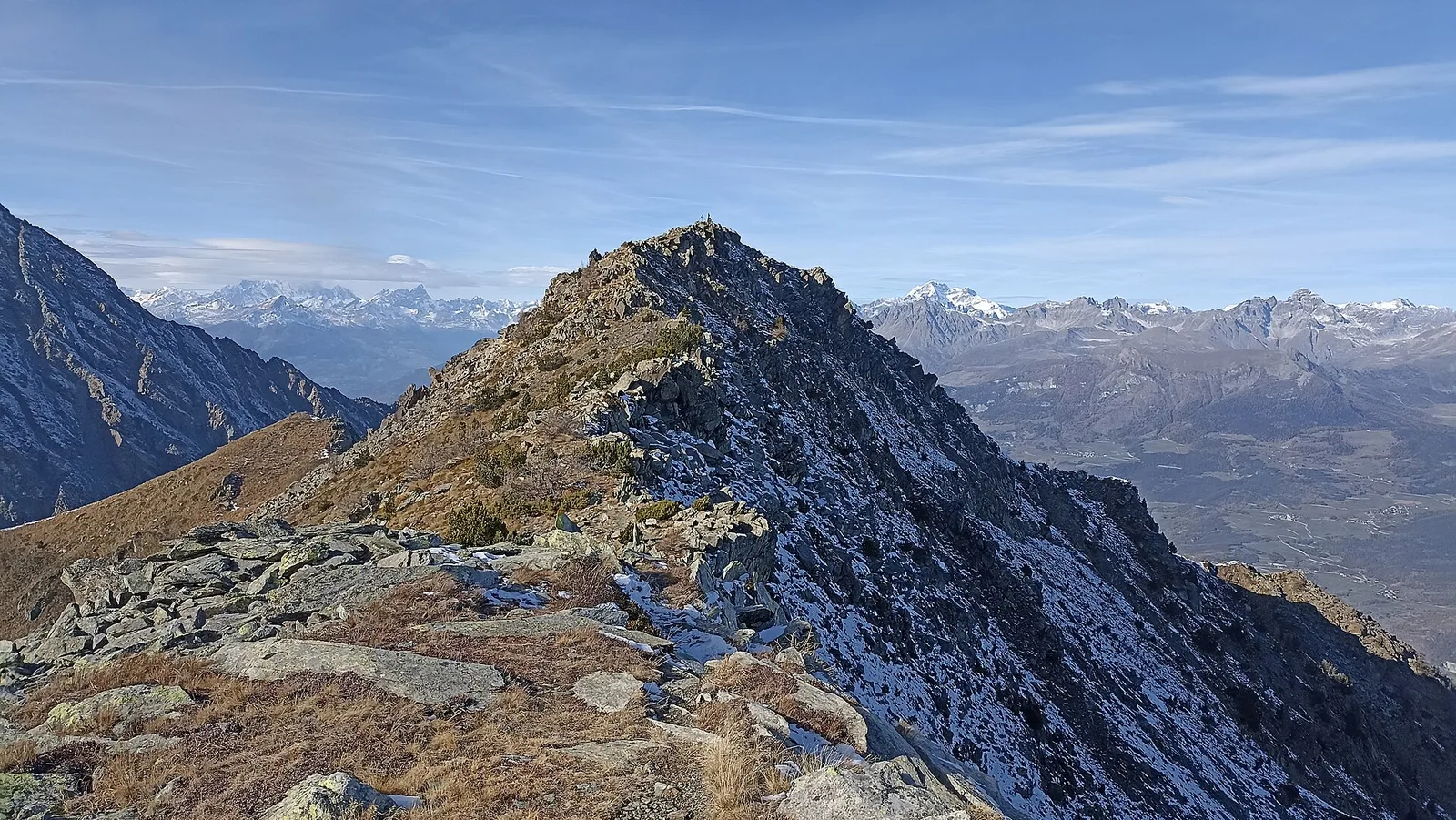
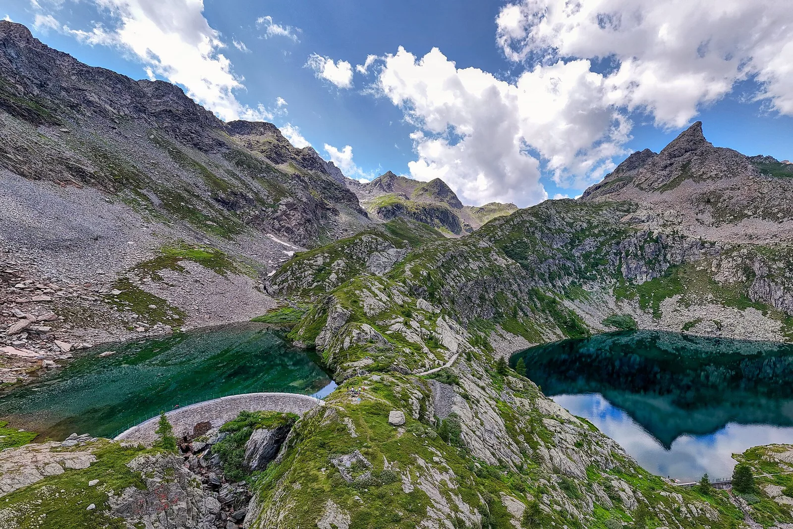
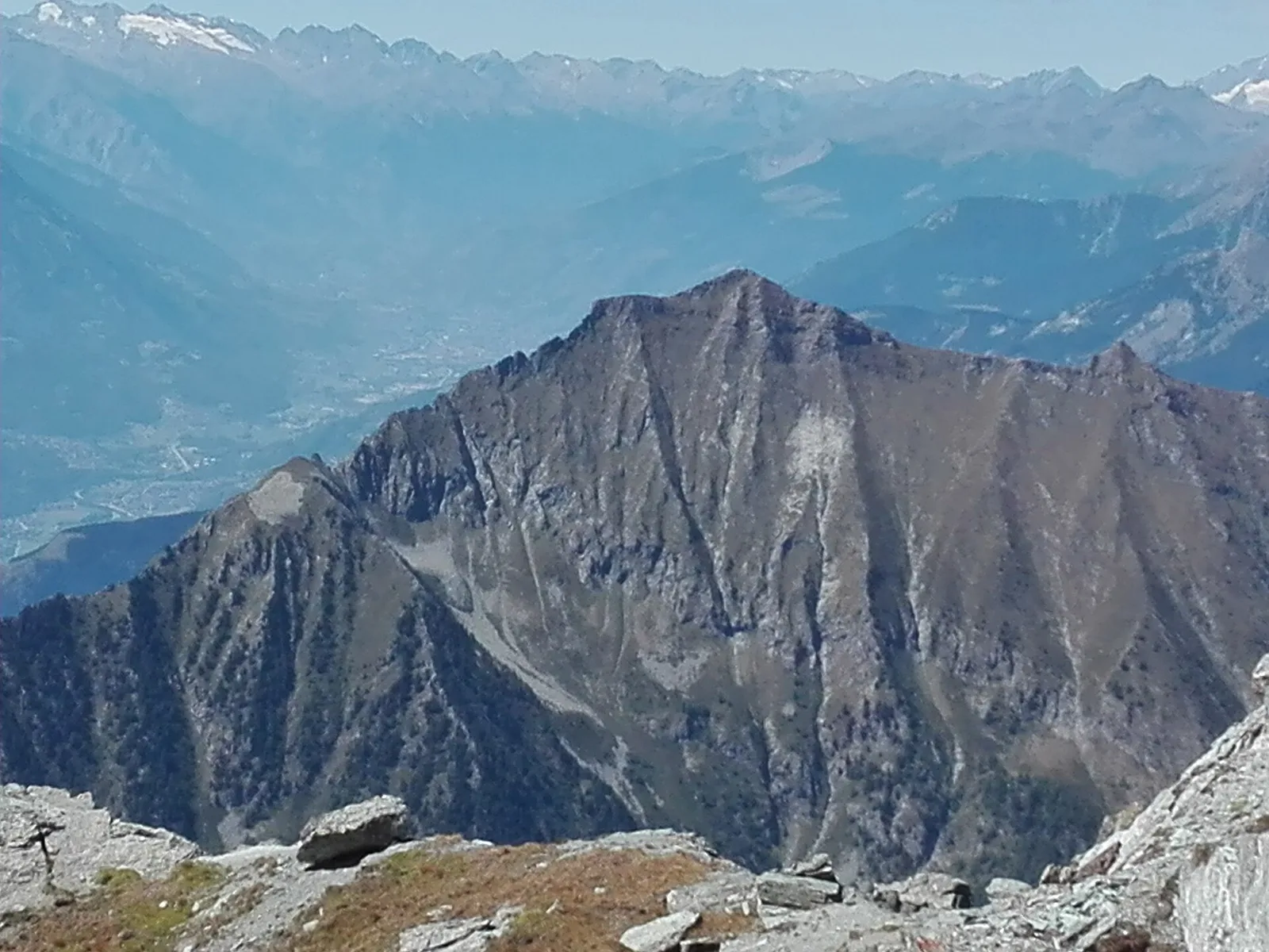
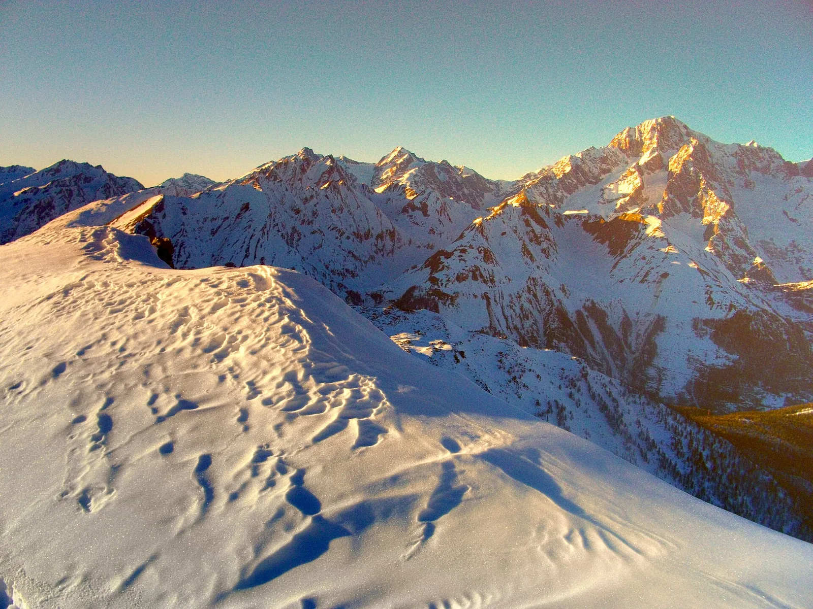
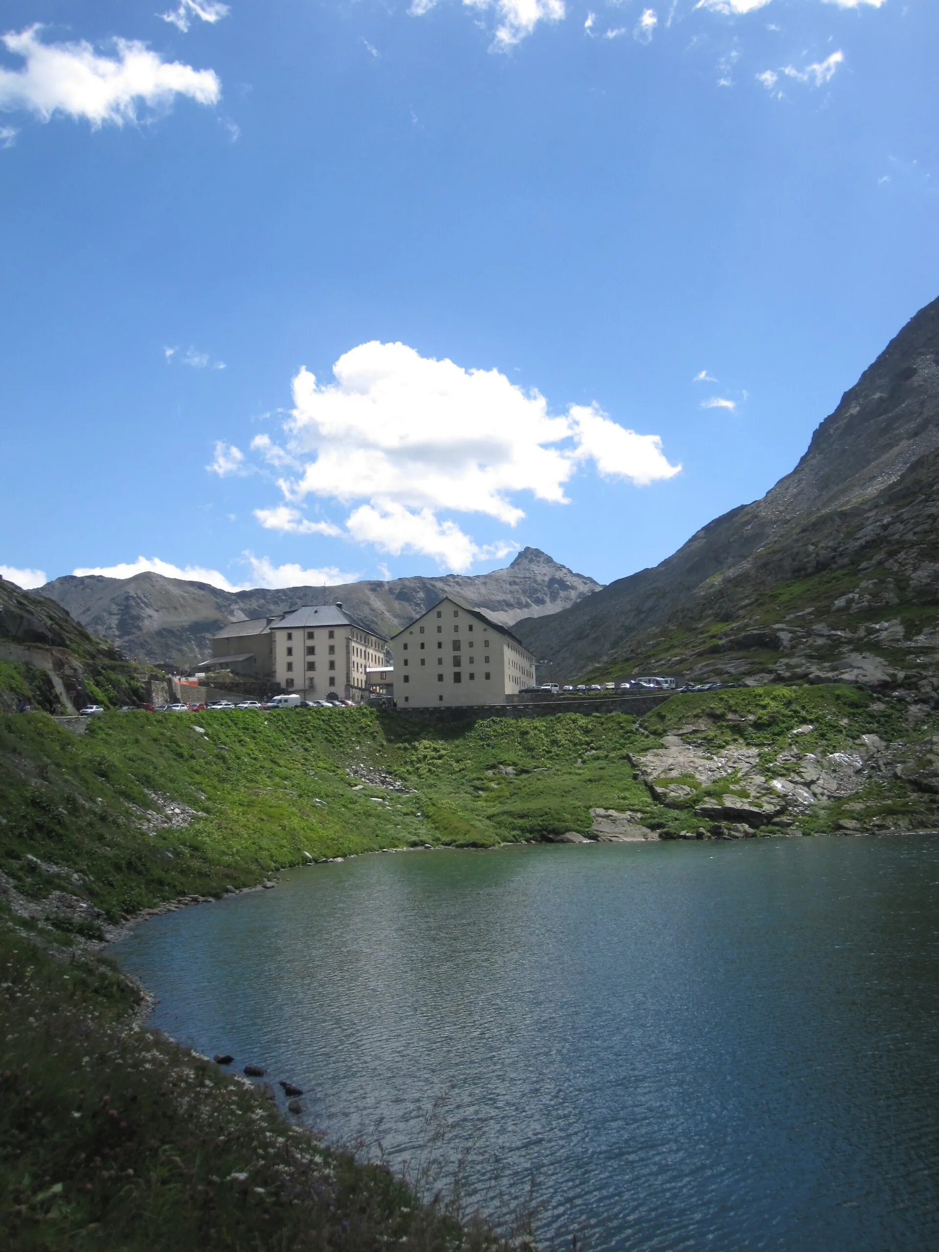
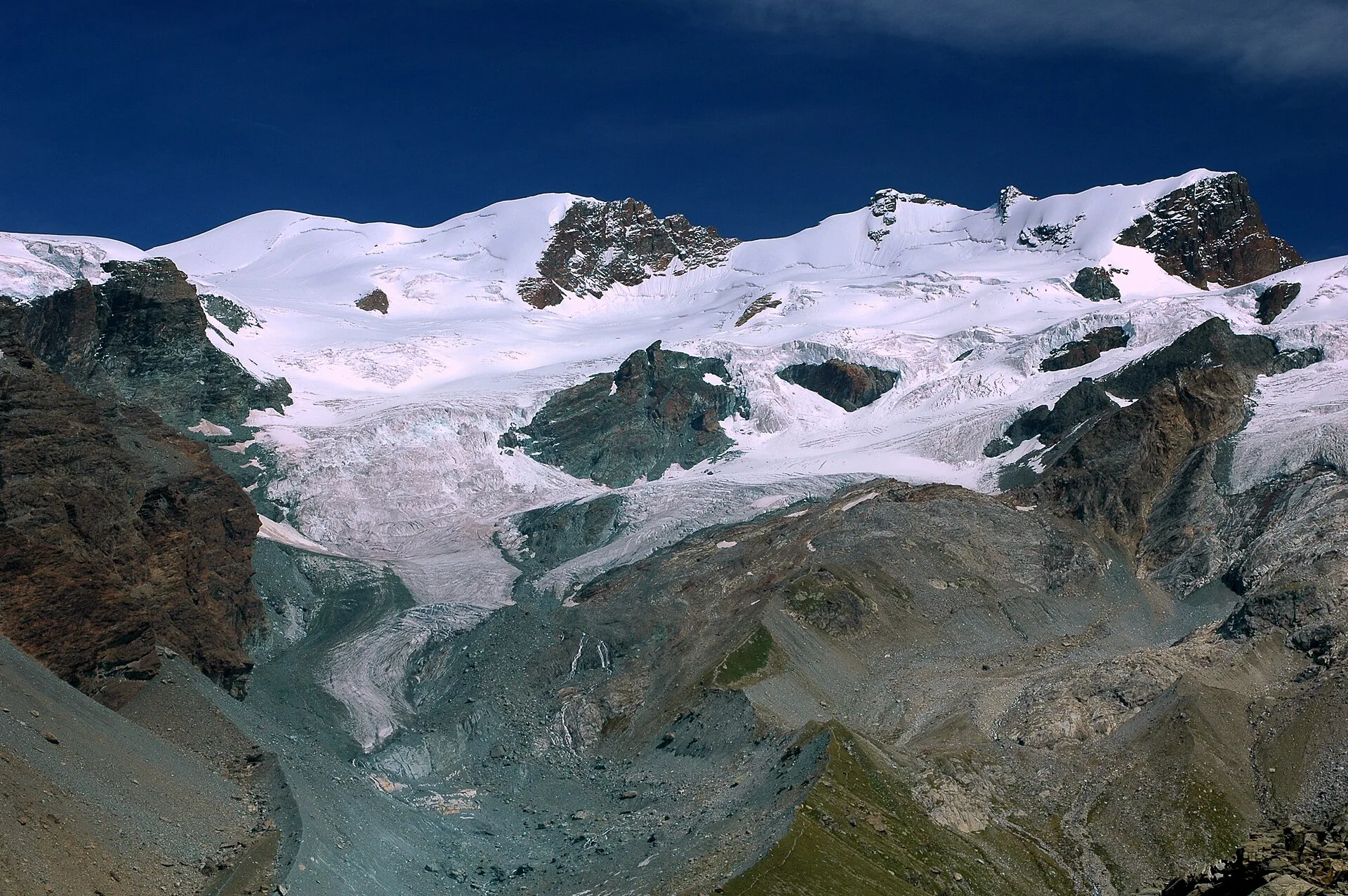
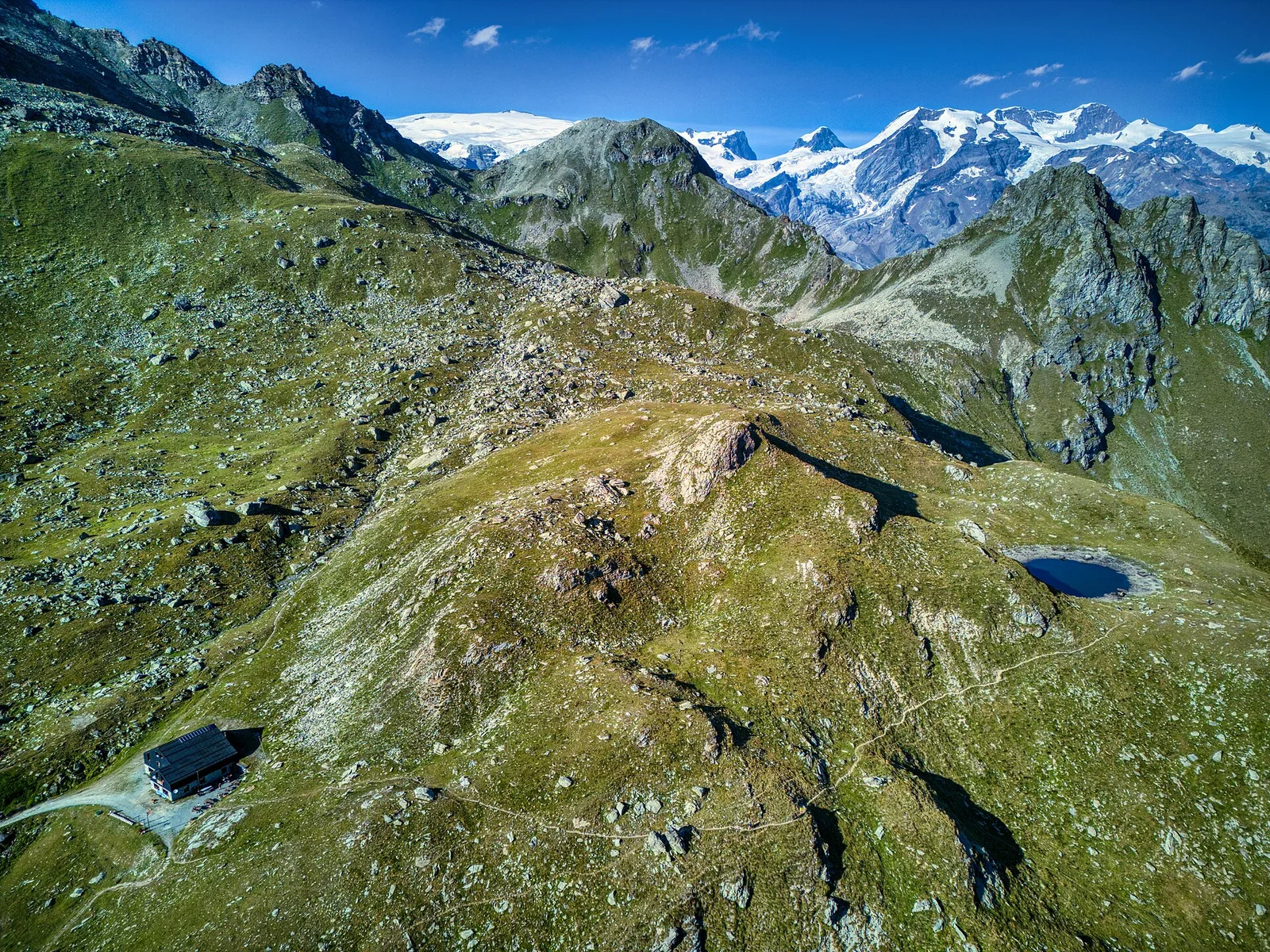
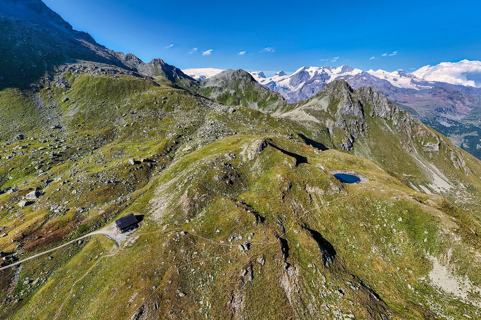
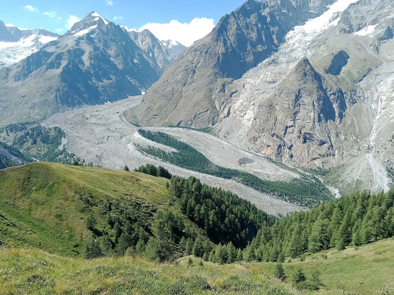
Alpe Bardoney (incrocio sentieri 12-13G)- Col de l'Arolla
5.3 km · +684 m · EE — from Alpe Bardoney (incrocio sentieri 12-13G) to Col de l'Arolla (Lys Valley).
5.3 km+684 m3 h
Where to spot
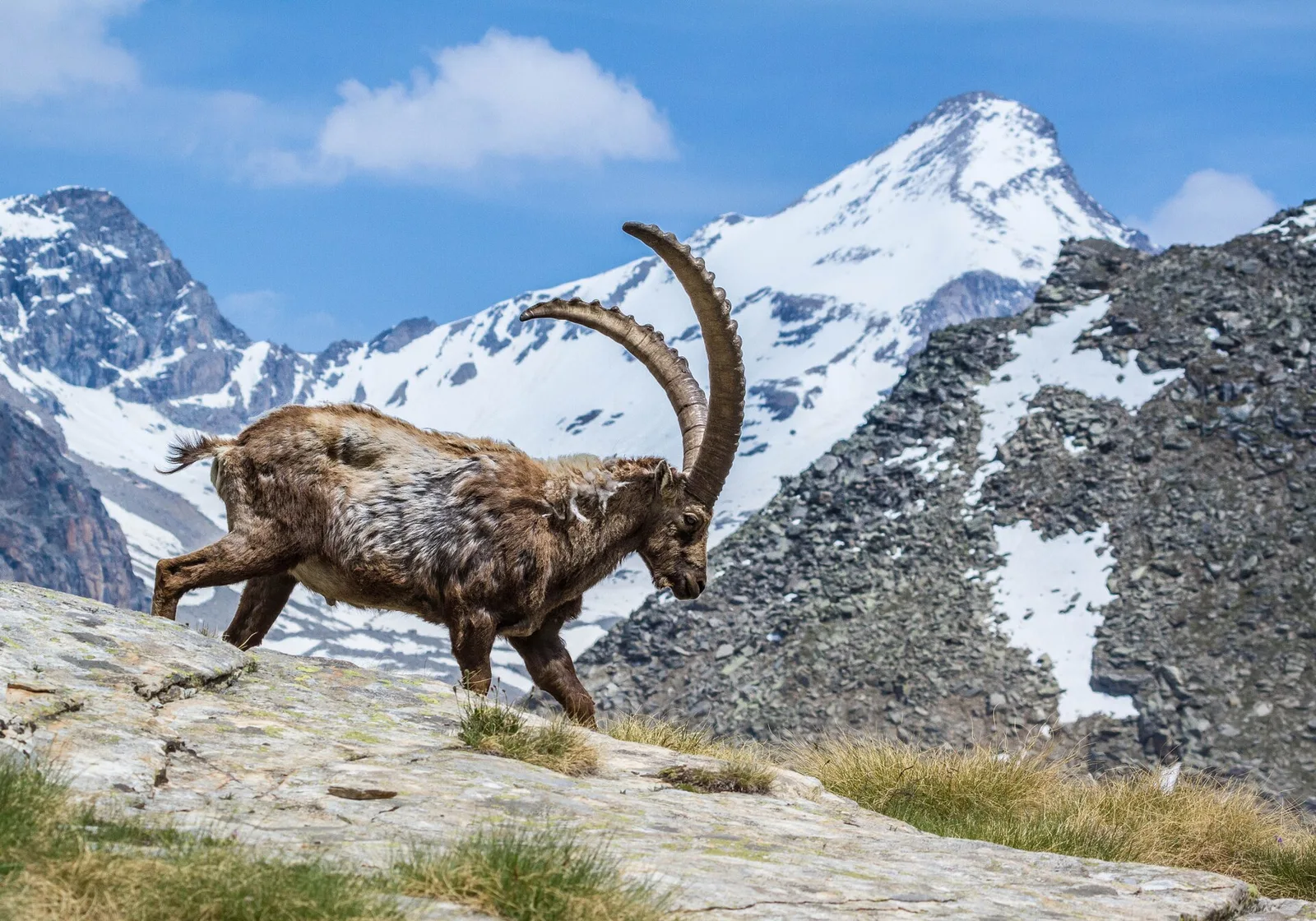
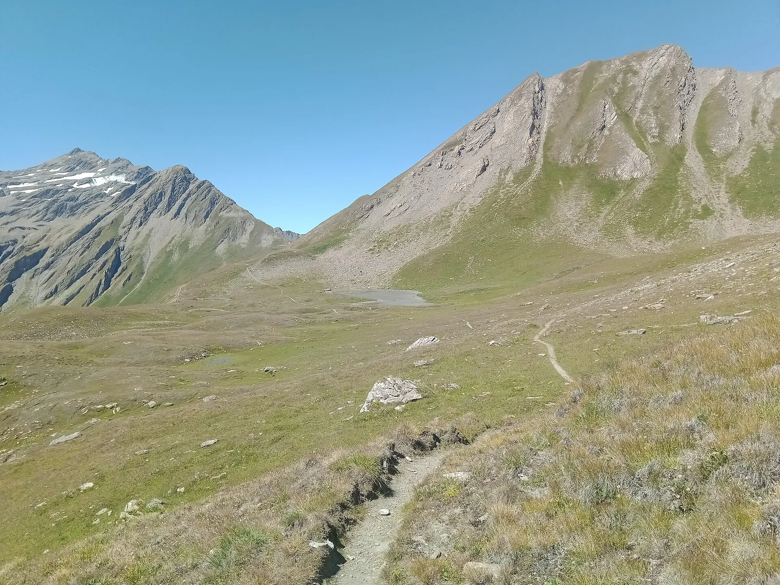
79 trails where Black vanilla orchid is listed in flora/fauna: difficulty T–EE, elevation gain 0–1837 m.
79 · 1.0–17.1 km · +0–1837 m
Valle del Lys
5.3 km · +684 m · EE — from Alpe Bardoney (incrocio sentieri 12-13G) to Col de l'Arolla (Lys Valley).

Valle del Lys
13.9 km · +1540 m · E — from Barche to Grand Alpe (Lys Valley).
Valdigne
A demanding climb in the Valdigne, La Salle, toward high pastures: sustained elevation gain on an E-rated trail through forest and grassland.
Valdigne
5.5 km · +786 m · E — from Bellecombe to Alpe Valmeriana (Valdigne).
Valle del Lys
3.1 km · +346 m · E — from Belvedere to Sentiero Natura (Lys Valley).
Valle del Lys
5.2 km · +578 m · E — from Bivio Vallone des Chavannes to Colle del Piccolo San Bernardo (Lys Valley).
Valle centrale
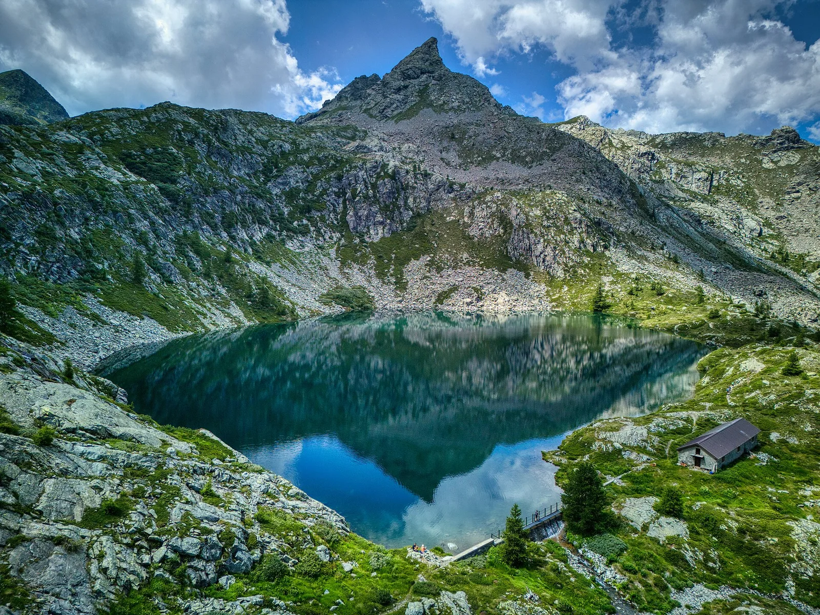
In the Vallone delle Cime Bianche, commune of Ayas: an EE route among glacial lakes and high alpine meadows.
Valle centrale
1.2 km · +136 m · E — from Breuil to Cielo Alto (Central Valley).
Valle centrale
1 km · +136 m · E — from Breuil to Cielo Alto (Central Valley).
Valle centrale
2.8 km · +516 m · E — from Buthier to Alpe e Rifugio Chaligne (Central Valley).
Valle centrale
4.5 km · +937 m · EE — from Capiron to Mont Lyan (Central Valley).
La Thuile
4.5 km · +571 m · E — from Challancin to Col de Bard (La Thuile).
Val di Cogne
1.7 km · +213 m · E — from Chamolé to Col Replan (Cogne Valley).
Val di Rhêmes
9.8 km · +1097 m · E — from Champex to Arp (Rhêmes Valley).
Valtournenche
6.8 km · +1044 m · E — from Chardonney to Cimetta Rossa (Valtournenche).
Valtournenche
6.1 km · +770 m · E — from Chardonney to Rifugio Dondena (Valtournenche).
Val di Cogne
4.8 km · +1024 m · E — from Comboé (Comboué) to Becca di Nona (Cogne Valley).
Valle centrale
2.7 km · +674 m · E — from Corbet to Alpe Boussolaz (Central Valley).
Valle centrale
Val d'Ayas: a climb toward a panoramic high-altitude objective over open terrain.
Val d'Ayas
5.9 km · +637 m · E — from Degioz to Orvieille (Pavillon royal de chasse) (Ayas Valley).
Valle del Gran San Bernardo
14.3 km · +1234 m · E — from Dolonne to Rifugio Elisabetta (Great St Bernard Valley).
Val di Rhêmes
7 km · +1459 m · E — from Elevaz to Mont-Crammont (Rhêmes Valley).
Valle centrale
3.5 km · +774 m · E — from Etavel to Combelin (Central Valley).

Valpelline
11.4 km · +1433 m · EE — from Etirol to Col de Chavacour (Valpelline).
Valpelline
9.8 km · +1219 m · E — from Etirol to Fenêtre de Tsan (Valpelline).
Valle centrale
6.5 km · +1376 m · E — from Etroubles to Col Champillon (Central Valley).
Valle del Lys
13.6 km · +1159 m · E — from Faubourg to Col des Chavannes (Lys Valley).
Valle centrale
8.9 km · +1661 m · E — from Gignod to Pointe Chaligne (Central Valley).
Valpelline
5 km · +1117 m · E — from Glacier to Bivacco Rosazza/Savoie (Valpelline).
Val d'Ayas
Upper Val d'Ayas, Brusson: a route through high-altitude meadows and rock.
Val d'Ayas
6.4 km · +1576 m · E — from Kunju to Col Chasten Sud (Ayas Valley).
Valle del Gran San Bernardo
3.1 km · +774 m · E — from La Palud to Pavillon (Great St Bernard Valley).
Valle del Gran San Bernardo
2.4 km · +774 m · E — from La Palud to Pavillon (Great St Bernard Valley).
Valle del Gran San Bernardo
6 km · +829 m · E — from La Remisa to Pas-Entre-Deux-Sauts (Great St Bernard Valley).
Valle del Lys
4.8 km · +926 m · E — from La Thuile to Col de la Croix (Lys Valley).
Valle centrale
4.5 km · +951 m · E — from Lac d'Arpy to Mont Cormet (Central Valley).

Valle del Lys
5.2 km · +828 m · EE — from Le Crin to La Rossaz (Lys Valley).

Valle del Lys
5.9 km · +804 m · EE — from Le Crin to La Tramouaille de la Rossaz (Lys Valley).
Valpelline
From Lessert (1,618 m) to the Col de Crête Sèche (2,898 m) in the Valpelline: 6.5 km and 1,330 m to a high pass on the Swiss border.
Valtournenche
7.7 km · +299 m · E — from Menthieu, partenza poderale to Incrocio 14A-13/14 (Alpe Revéraz-Dèsot) (Valtournenche).
Valtournenche
9.8 km · +1837 m · EE — from Monteil to Le Give (Valtournenche).

Valle del Gran San Bernardo
3.7 km · +663 m · E — from Niel to Colle della Mologna Piccola (Great St Bernard Valley).
Valle del Gran San Bernardo
5 km · +853 m · E — from Niel to Lago di Suckie (Great St Bernard Valley).
Valle di Champorcher
4.8 km · +786 m · E — from Onderwoald to Col Ranzola (Champorcher Valley).
Valtournenche
5.5 km · +892 m · E — from Outre l'Eve to Pian Ciampaney (Valtournenche).
Valle centrale
Upper Val d'Ayas, Brusson: a route toward a panoramic objective at high altitude.
Val d'Ayas
4.4 km · +718 m · E — from Pont to Plan Borgnoz (Ayas Valley).
Valle del Lys
6.8 km · +1318 m · E — from Ponte Vernosse to Col Vamea (Lys Valley).
Valtournenche
1.4 km · +500 m · E — from Poutaz to Triatel (Valtournenche).
Valpelline
2.1 km · +506 m · E — from Praz to La Fenetre (Valpelline).
Val d'Ayas
6.6 km · +1335 m · E — from Quinçod to Merendiou (Ayas Valley).
Val d'Ayas
5.4 km · +230 m · E — from Refuge Savoie to Plan Borgnoz (Ayas Valley).
Val di Cogne
5.1 km · +1055 m · EE — from Rifugio Arbolle to Mont-Emilius (Cogne Valley).
Valtournenche
2.8 km · +495 m · E — from Rifugio Bezzi to Lac St-Martin (Valtournenche).
Valle centrale
2.7 km · +661 m · EE — from Rifugio Grand Tournalin to Petit Tournalin (Central Valley).
Valdigne
From Runaz (839 m) to the Alpage du Glacier (2163 m): 1635 m of ascent through forest, pastures and open alpine grassland, one of the most demanding routes in the Valdigne.
Valle centrale
From Saint-Jacques (1700 m) toward the high ground of the Val d'Ayas: a route through alpine pastures with views of Monte Rosa.
Val d'Ayas
In the commune of Brusson, Val d'Ayas: a route among hamlets and alpine pastures on the sunny slope with valley views.
Valle di Champorcher
3.5 km · +723 m · E — from Strada per Tschalvrino to Col Ranzola (Champorcher Valley).
Valle del Lys
5.2 km · +1065 m · E — from S. R. Valsavarenche to Mont Blanc (Lys Valley).
Val di Rhêmes
11.7 km · +1707 m · E — from Stradina Chateau de Quart to Croce di Fana (Rhêmes Valley).

Valtournenche
5.8 km · +841 m · E — from Surrier to Col du Mont (Valtournenche).
Valtournenche
5.5 km · +495 m · E — from Surrier to Rifugio Bezzi (Valtournenche).
Valle del Gran San Bernardo
15.2 km · +1482 m · E — from Capoluogo to Rifugio Elisabetta (Great St Bernard Valley).
Valle del Gran San Bernardo
17.1 km · +0 m · E — from Rifugio Elisabetta to Capoluogo (Great St Bernard Valley).
Valle centrale
4.7 km · +747 m · E — from Capoluogo to Rifugio Barmasse (Central Valley).
Valtournenche
7.1 km · +0 m · E — from Rifugio Dondena to Capoluogo (Valtournenche).
Valdigne
3.9 km · +1042 m · E — from Torin to Alpe Mont Giron (Valdigne).

Valpelline
4.6 km · +581 m · E — from Triatel to Santuario di Gilliarey (Valpelline).
Valle del Gran San Bernardo
6.8 km · +1156 m · E — from Tzendelabò to Colle della Vecchia (Great St Bernard Valley).
Valtournenche
6.1 km · +1467 m · E — from Montcorvé to Col Arpeyssaou, biv. La Lié (Valtournenche).
Valle di Champorcher
7.5 km · +1421 m · E — from Varesa to Lago di Leseney (Champorcher Valley).
Valdigne
From Vedun (1519 m) to Mont-Court de Bard (2170 m): 3.3 km, +652 m, steep consistent climb. Mont Blanc and Vertosan views. Half-day route. E.
Valle centrale
7.2 km · +1009 m · EE — from Vetan to Col Palettaz (Central Valley).
Valle centrale
7 km · +910 m · E — from Veulla to Rifugio Barbustel (Central Valley).
Val di Cogne
In the Val di Cogne, Aymavilles: an E-rated climb toward an objective in the Gran Paradiso National Park.
Valle del Gran San Bernardo
6.8 km · +1219 m · E — from Villair to Tête de Bernarde (Great St Bernard Valley).
Valle di Champorcher
2.8 km · +159 m · E — from Wiessmatten to Col Ranzola (Champorcher Valley).
Valle di Champorcher
7.1 km · +1699 m · EE — from Zer Schmettò to Bivacco Lateltin (Champorcher Valley).