
E
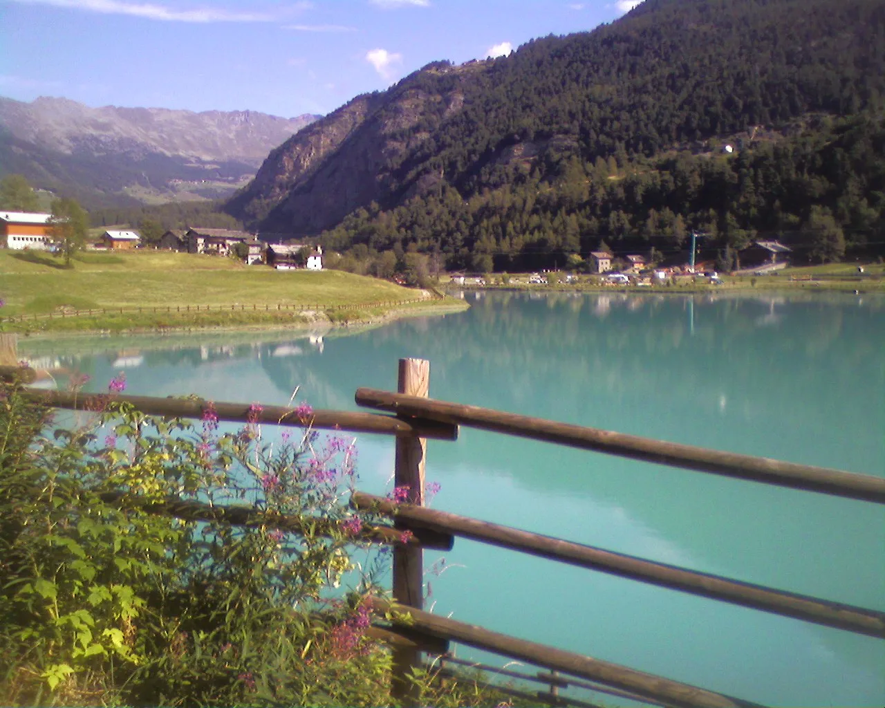
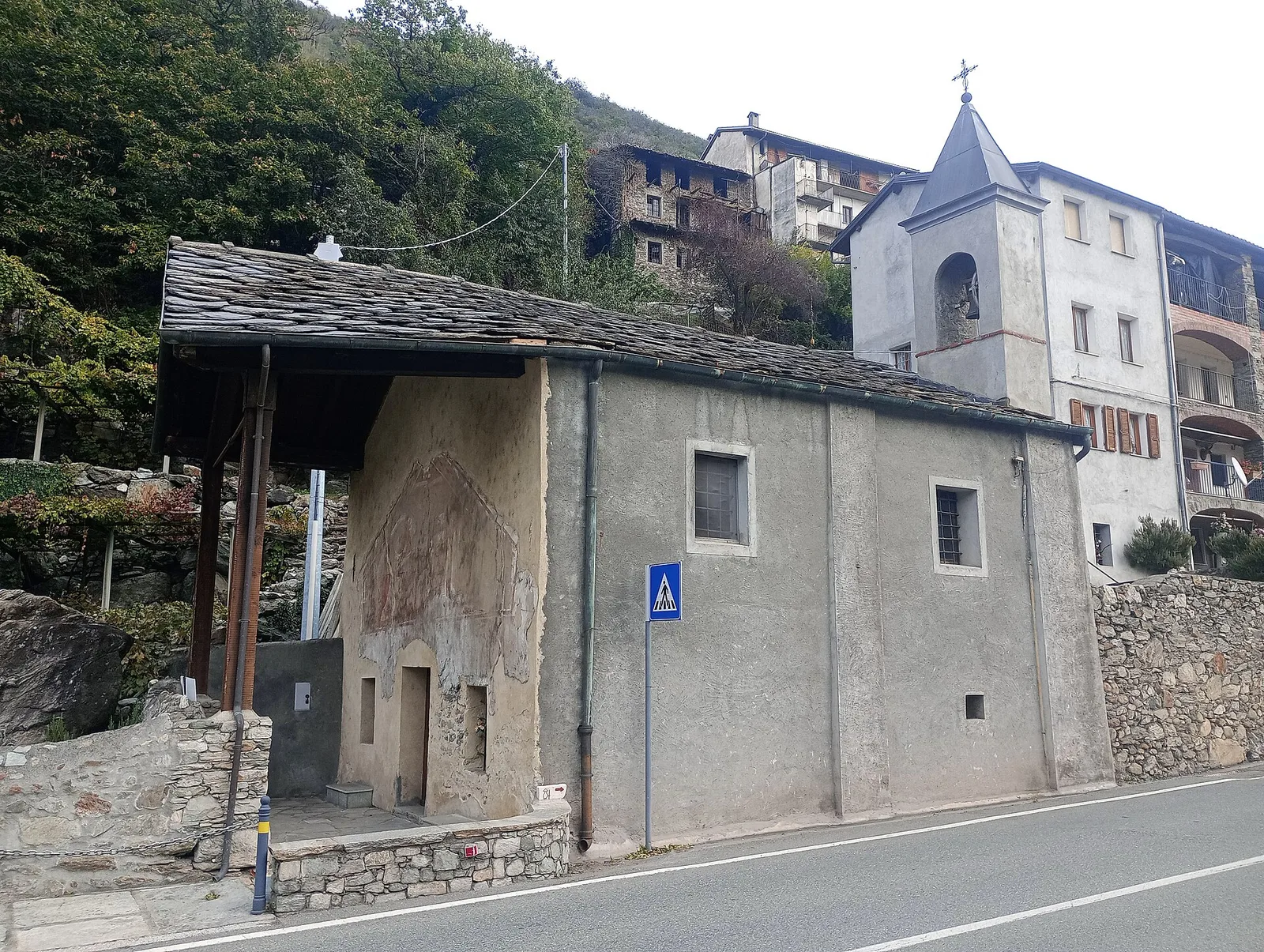
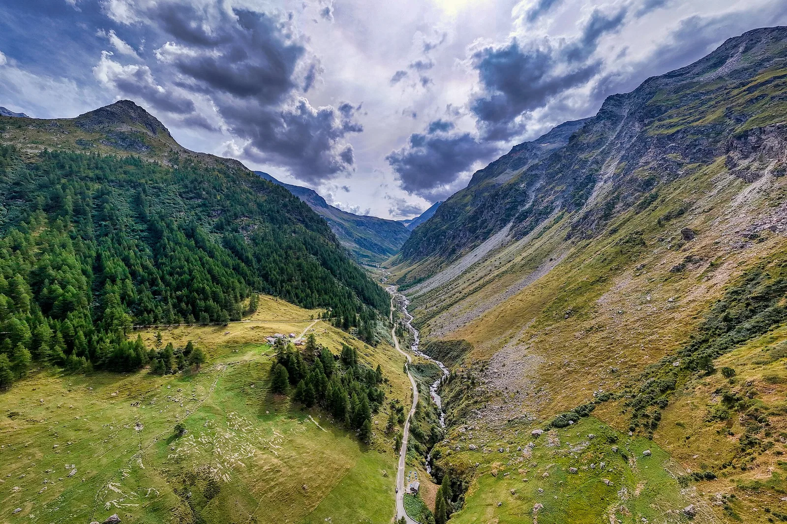
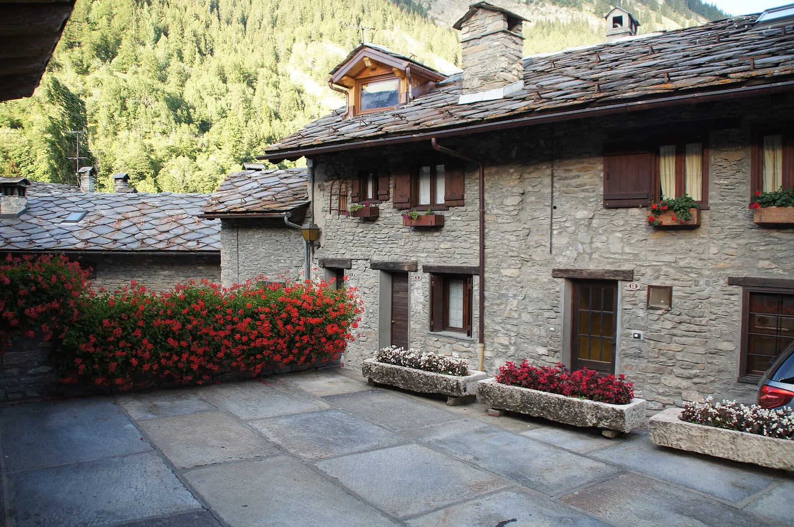
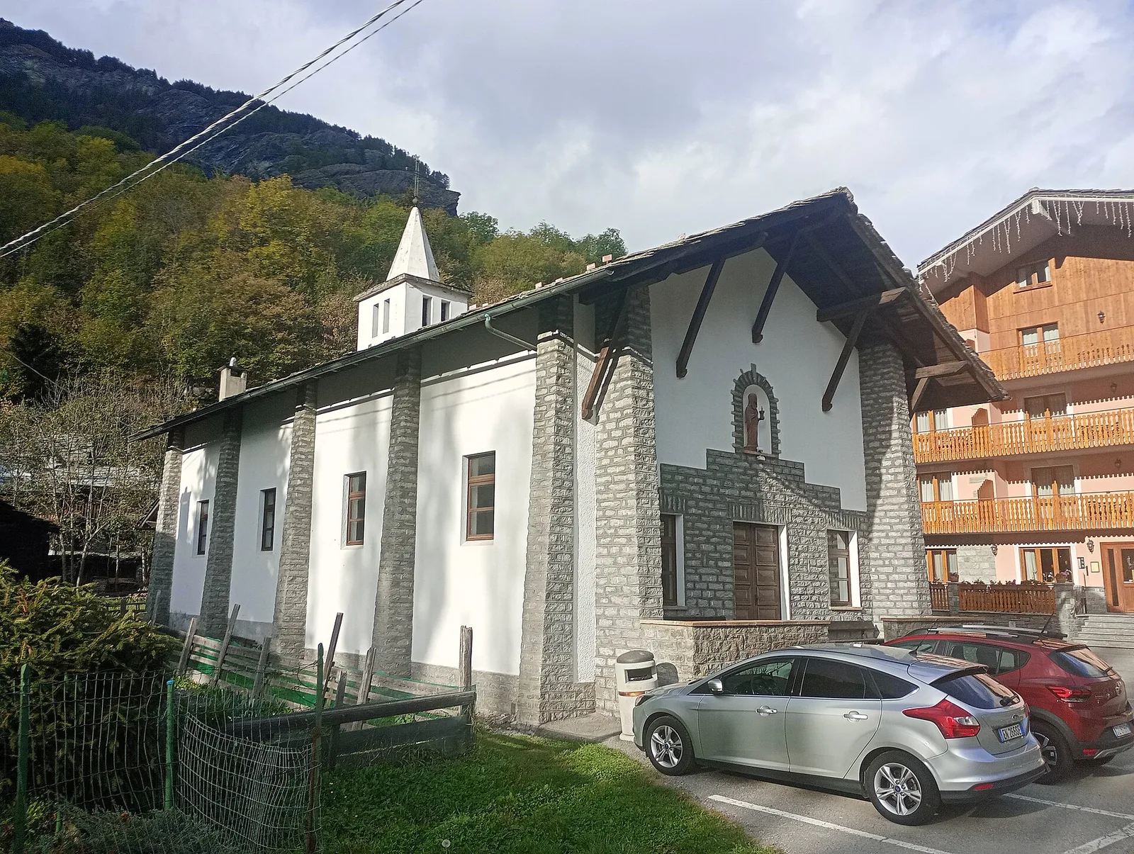
Val di Rhêmes
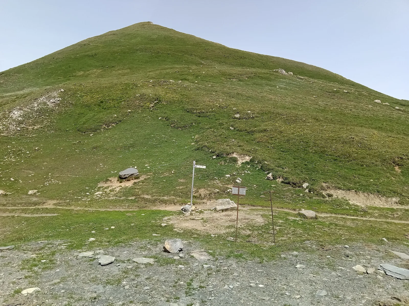
Anello del Verrand
2.6 km · +233 m · E — from Château Verrand to Château Verrand (Rhêmes Valley).
2.6 km+233 m1 h
Where to spot
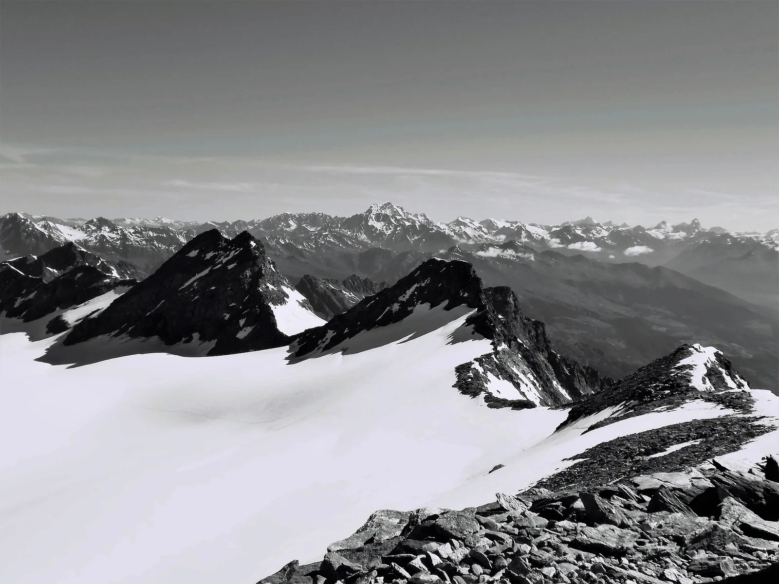
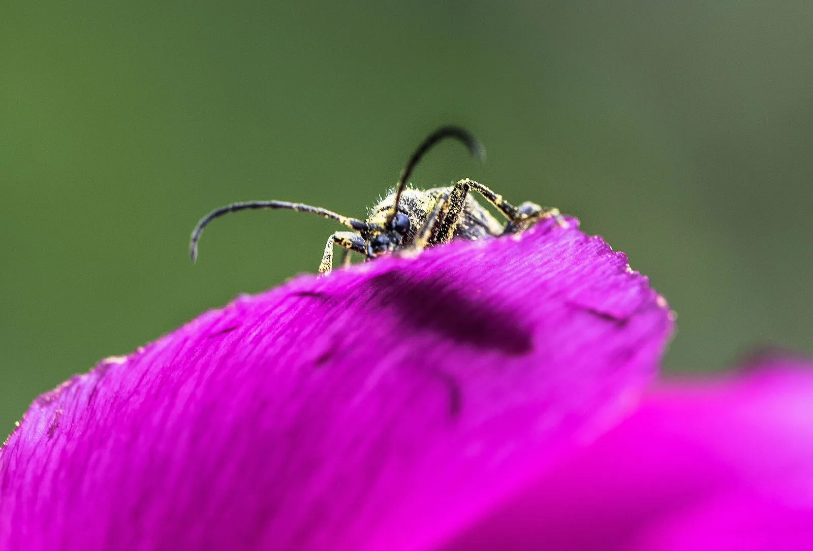
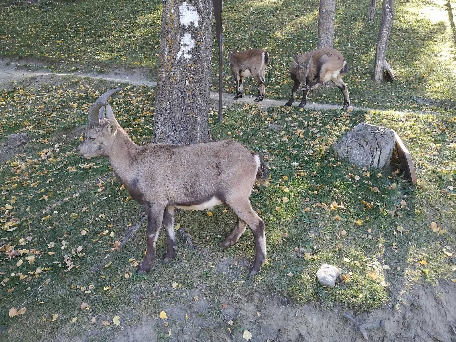
66 trails where Red squirrel is listed in flora/fauna: difficulty T–EEA, elevation gain 0–2016 m.
66 · 0.1–26.3 km · +0–2016 m
Val di Rhêmes
2.6 km · +233 m · E — from Château Verrand to Château Verrand (Rhêmes Valley).
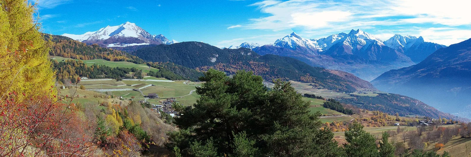
Val d'Ayas
An easy T-rated stroll from Arcésaz to Brusson along irrigation canals and mid-slope paths in the Val d'Ayas: 3.6 km, no difficulty, suitable for families and all levels.
Valle del Gran San Bernardo
3.4 km · +997 m · EEA — from Area pic-nic Plan Veny to Rifugio Monzino (Great St Bernard Valley).
Valle centrale
0.1 km · +840 m · E — from Bedeugaz to Plau (Central Valley).
Valdigne
6 km · +828 m · E — from Bellecombe to Thoule (Valdigne).
Valdigne
7.9 km · +1473 m · E — from Bellecombe to Mont Barbeston (Valdigne).
Valpelline
1.6 km · +184 m · E — from Berzin to Masod (Valpelline).
Valle centrale
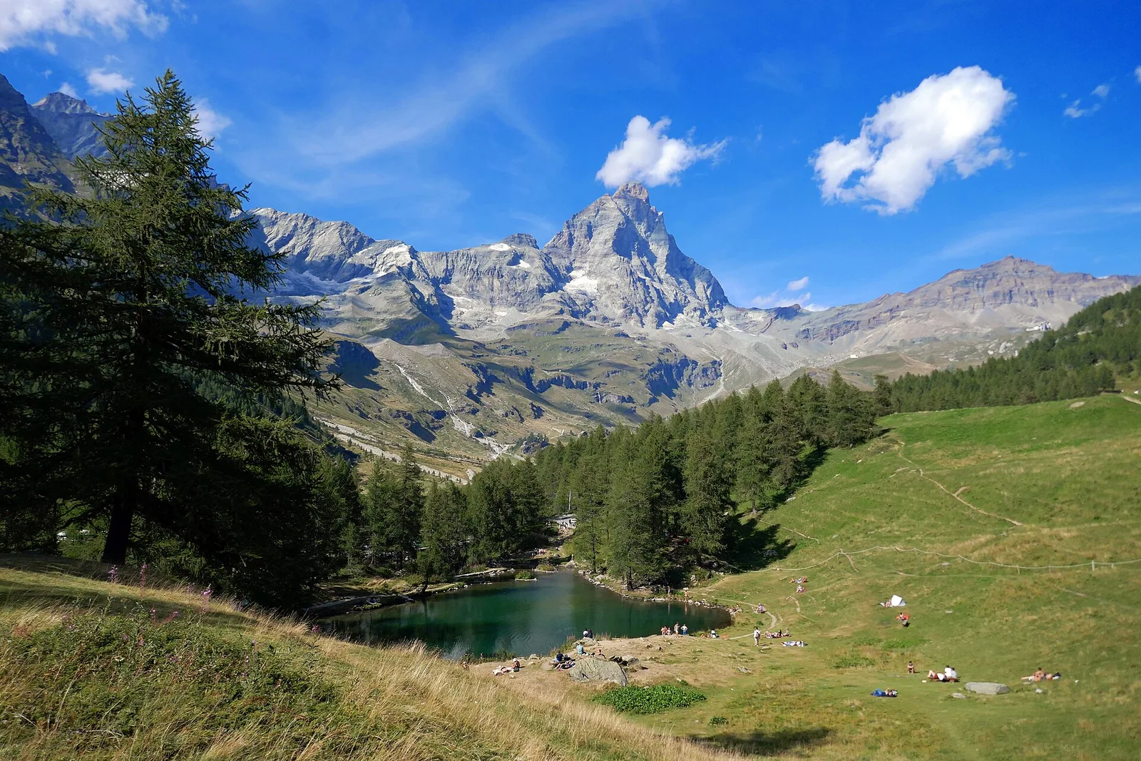
From Blanchard (1,731 m) to the Rifugio Guide di Ayas (3,394 m): 8.8 km and 1,668 m of ascent into the high Ayas Valley, EE difficulty.
Valsavarenche
6.1 km · +1451 m · E — from Capoluogo to Becca d'Aver (Valsavarenche).
Valle centrale
1.4 km · +334 m · E — from Champlong dessus to Prorayé (Central Valley).
Val di Cogne
Steep climb from Champsolin (762 m) to Ozein (1,371 m) in the Cogne Valley: 3.2 km with 596 m of ascent.
Valle centrale
From the valley floor at Chateau Vallaise (454m) to Saint Anne's chapel (1342m): 4.3 km and 921 m of ascent through vineyards, chestnut groves and woodland on the Avise hillside.
Valle del Lys
6.7 km · +1328 m · E — from Chenière to Arpisson (Lys Valley).
Valtournenche
10.9 km · +1302 m · E — from Surrier to Col Bassac Déré (Valtournenche).
Valle centrale
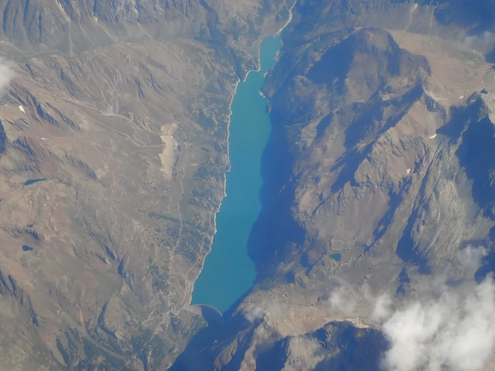
26.3 km · +2016 m · E — from Colle Grand Saint Bernard to Col Grand Ferret (Central Valley).
Valsavarenche
4.7 km · +821 m · E — from Cort to Charrère (Valsavarenche).
Valle del Lys
1.5 km · +75 m · E — from Coteau to Eremo Saint-Julien (Lys Valley).
Valtournenche
3.6 km · +909 m · E — from Croce della Missione to Gias Desot (Valtournenche).
Valle del Gran San Bernardo
0.7 km · +133 m · E — from Erésaz to Borna da Ghiasa (Great St Bernard Valley).
Valle del Gran San Bernardo
3.5 km · +223 m · E — from Erésaz to Grand Rhun (Great St Bernard Valley).
Valle del Gran San Bernardo
0.9 km · +120 m · E — from Erésaz to Ravet (Great St Bernard Valley).
Valle centrale
6.3 km · +1311 m · E — from Fey to Colle Prial (Central Valley).
Valle del Gran San Bernardo
3.5 km · +0 m · E — from Grand Rhun to Erésaz (Great St Bernard Valley).
Val d'Ayas
4.3 km · +92 m · E — from Capoluogo to Gaby (Ayas Valley).
Val d'Ayas
6.4 km · +1576 m · E — from Kunju to Col Chasten Sud (Ayas Valley).
Valle del Lys
9.2 km · +1563 m · E — from Closé to Colle Vessona (Lys Valley).
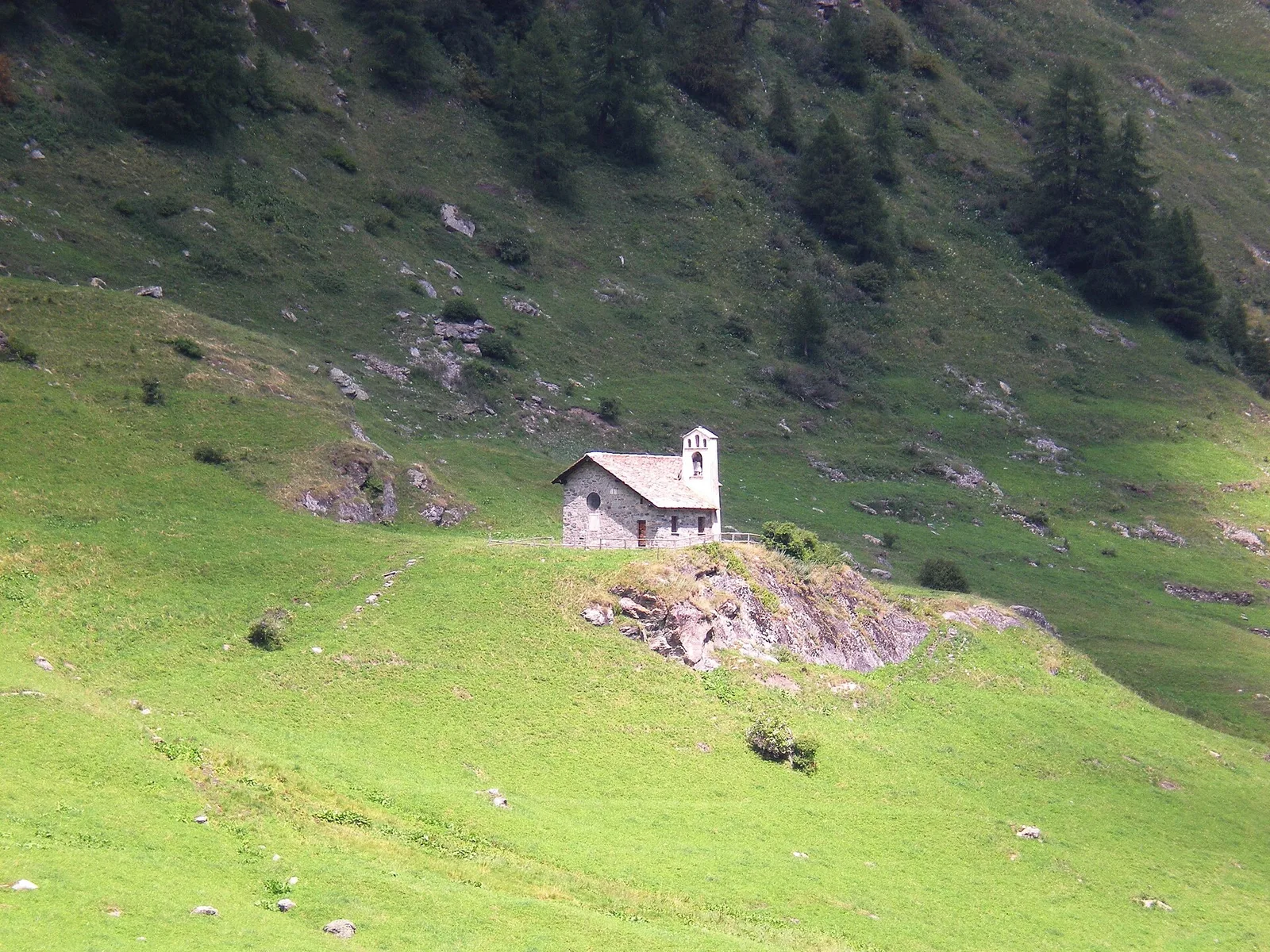
Valgrisenche
In the Valgrisenche, Arvier: a steady E-rated climb through forest and meadows toward upper pastures.
Valtournenche
1.3 km · +310 m · E — from Lies to tornante S.R. (Valtournenche).
Valle centrale
In the Val d'Ayas, commune of Ayas: a steady E-rated climb toward a high-altitude objective on well-marked terrain.
Valtournenche
5.5 km · +1059 m · E — from Menthieu, partenza poderale to Rifugio degli Angeli al Morion (Valtournenche).
Valle del Lys
6.1 km · +1274 m · E — from Miserègne to Bec Tolomon (Lys Valley).
Valtournenche
9.5 km · +1766 m · E — from Monteil to Col Pousseuil (Valtournenche).
Valtournenche
3.9 km · +1035 m · E — from Monteil to Montat (Valtournenche).

Valle centrale
4.1 km · +794 m · E — from Nantey to Pra (Central Valley).
Valle centrale
3.7 km · +790 m · E — from Nantay to Ruine damon (Central Valley).
Val d'Ayas
2.3 km · +160 m · E — from Orbeillaz to Pian Abelly (Ayas Valley).
Valtournenche
5.8 km · +1334 m · EE — from Outrefer to Mognissola (Valtournenche).
Valle del Lys
3 km · +0 m · E — from Tornante quota 1309 to Thoules (Lys Valley).
Val di Rhêmes
1.7 km · +169 m · E — from Palleusieux to Verrand (Rhêmes Valley).
Valpelline
5.1 km · +803 m · E — from Parcheggio Porliod to Col Chaleby (Valpelline).
Valle centrale
4.9 km · +740 m · E — from Perrère to Bec du Pio Merlo (Central Valley).
Valle del Lys
4.2 km · +778 m · E — from Perron to Cretes (Lys Valley).

Valle del Gran San Bernardo
1.6 km · +583 m · E — from Pianatz to Berord (Great St Bernard Valley).
Valle del Lys
5.3 km · +794 m · E — from Pila, Gorraz to Pointe du Drinc (Lys Valley).
Valpelline
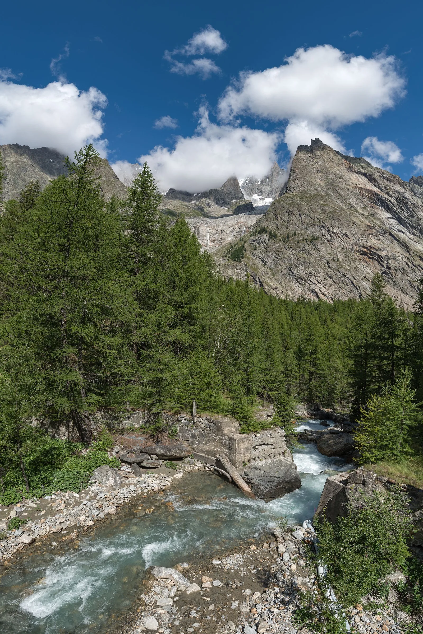
From the Place Moulin dam, the trail climbs the upper Valpelline to the Alpe Tsa de Tsan (2615 m), deep within a glacial landscape among the highest terrain of the Aosta Valley.

Valle del Lys
5.3 km · +815 m · E — from Plan Coumarial to Rifugio Coda (Lys Valley).
Valtournenche
3.4 km · +733 m · E — from Pompiod to Montcorvé dessus (Valtournenche).
Valpelline
2 km · +261 m · E — from Praz to Praz Croux (Valpelline).
Val di Rhêmes
4.5 km · +640 m · E — from Pré Saint-Didier to Elevaz (Rhêmes Valley).
Valle del Gran San Bernardo
2.2 km · +0 m · E — from Prenoud to Ponte Artanavaz (Great St Bernard Valley).
Valdigne
9.1 km · +1246 m · EE — from Promiod to Mont Tantané (Valdigne).
Valle centrale
2.1 km · +96 m · E — from Résy to Plan de Véraz (Central Valley).
Valle del Gran San Bernardo
5.7 km · +903 m · E — from Rif . Bonatti to Col Malatr� (Great St Bernard Valley).
Valtournenche
4.3 km · +507 m · E — from Rocher (inizio divieto) to Rifugio Chalet de l'Epée (Valtournenche).
Valle del Gran San Bernardo
0.4 km · +24 m · E — from Saint-Oyen to Pallais dessus (Great St Bernard Valley).
Valtournenche
12.9 km · +1737 m · E — from Bourg to Sassa (Valtournenche).
Valle centrale
4.7 km · +747 m · E — from Capoluogo to Rifugio Barmasse (Central Valley).
Valle centrale
7 km · +702 m · E — from Plau to Plau (Central Valley).
Valle del Lys
4 km · +235 m · E — from Crétaz to Crétaz (Lys Valley).
Valtournenche
3 km · +586 m · E — from Usellières to Rifugio Chalet de l'Epée (Valtournenche).
Valtournenche
3.3 km · +419 m · E — from Valpelline capoluogo to Capoluogo (Valtournenche).
Valle centrale
8.5 km · +1254 m · EE — from Verrogne to Mont de Vertosan (Central Valley).
Val d'Ayas
3.3 km · +600 m · E — from Ponti Romani to Tron damon (Ayas Valley).
Valle centrale
9 km · +1861 m · EE — from Veulla to Grand Lac (Central Valley).
Valle del Lys
3.3 km · +479 m · E — from Ville to Combes (Lys Valley).
Valle del Gran San Bernardo
1 km · +254 m · E — from Yair desor to Mouleret (Great St Bernard Valley).